West Virginia - US Route 250/219
US Route 250 and US Routes 219/250
All photos were taken heading north.


As US Route 250 enters West Virginia, the "north" direction heads a bit south of west, revealing Back Allegheny Mountain ahead. It then turns north into the foot of Burner Mountain.

Again facing west, in Bartow.


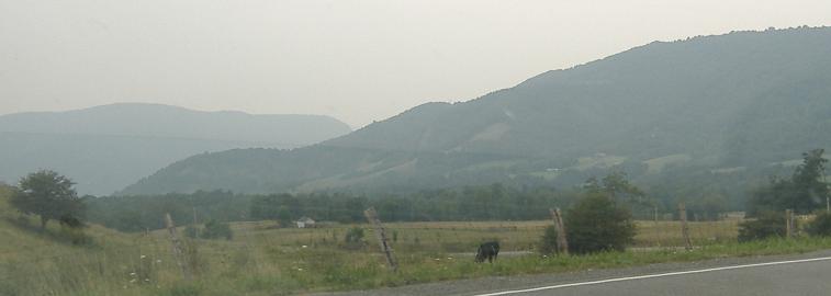
Sandy Ridge is to the south, and then the road curves north along Back Allegheny Mountain, so I look east to the side of Burner Mountain approaching Randolph County.


Two pairs of right-left photos of Cheat Mountain, to the east of US Routes 219 and 250 once they join in Mill Creek.


A more typical panorama, from left to right, looking east from Oak Road in Valley Bend.


Now let's look west at Rich Mountain, from south to north.


One more look northwest at part of Rich Mountain, and one more look northeast at part of Cheat Mountain, from either side of Beverly.

Wind turbines are nigh to the north upon leaving Elkins.


Jumping northwest to Mannington and its century-old school.


Another jump brings me to ruins in Littleton.
Onto US Route 219 alone
US Route 250 in Elkins
US Route 250 in Belington
US Route 250 in Philippi
US Route 250 in Fairmont
Into Virginia on US Route 250
US Route 250 roads photos
Back to West Virginia Non-Roads
Back to Non-Roads main page