Washington - US Routes 97/2 - S. of Cashmere
US Route 97 and US Routes 2/97 south/west of Cashmere
All but one photo were taken heading north on US Route 97 (east on US Route 2).
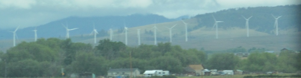
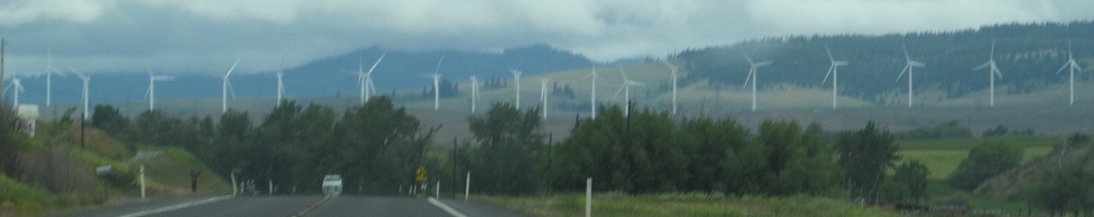
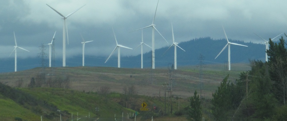
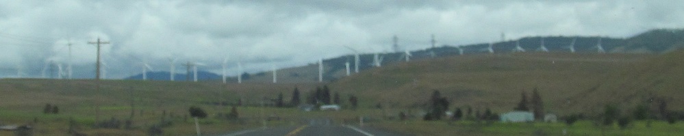
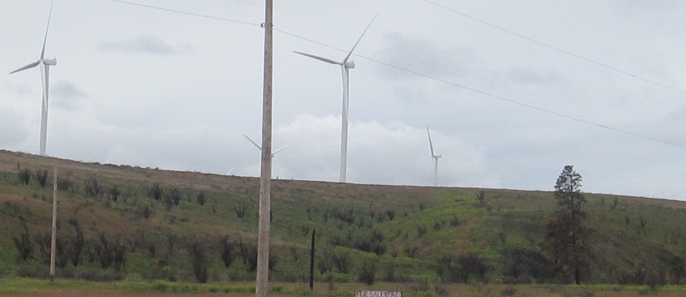
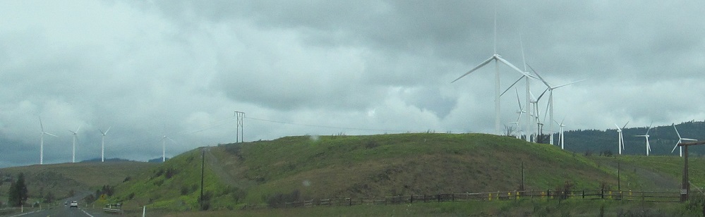
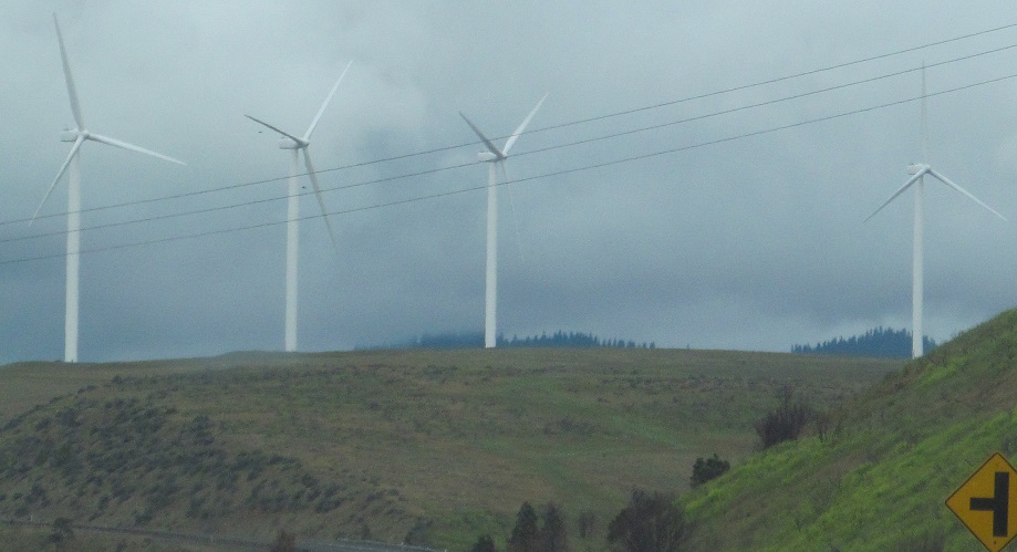
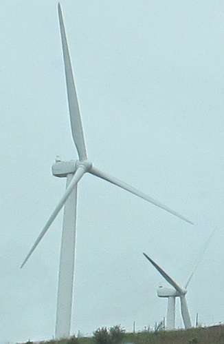
Windmills at the north end of Kittitas Valley dominate the early scenery leaving State Route 10 outside Ellensburg.
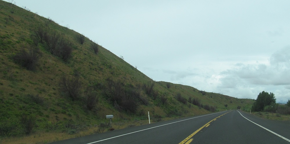
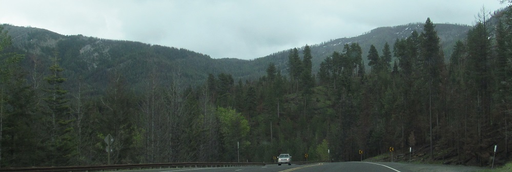
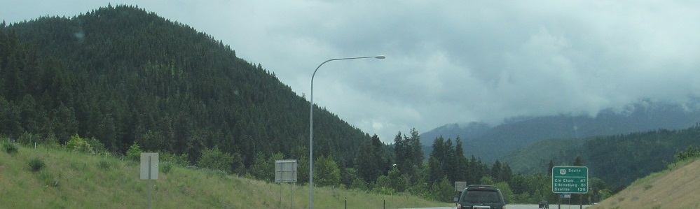
Cle Elum Ridge is to the west, and Teanaway Ridge is straight ahead.
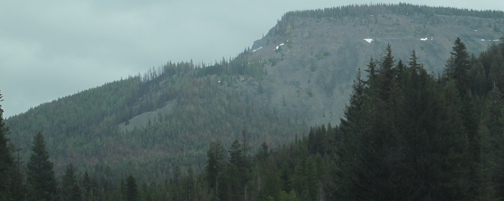
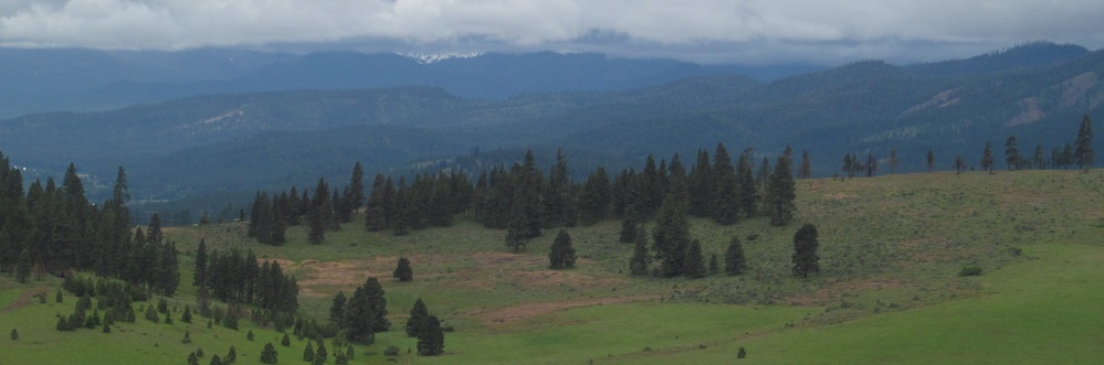
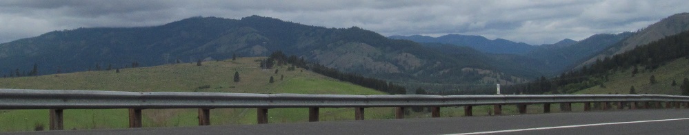
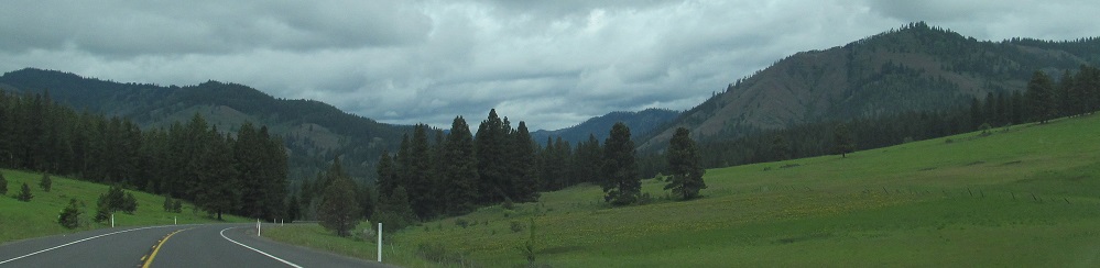
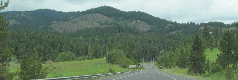
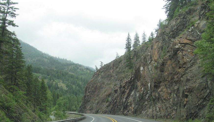
The road heads relatively easterly from State Route 970 at Lauderdale Junction; it used to come up Route 970 before what's now Route 97 was improved to something worthy of a US Highway. The last 3 photos are of Diamond Head, Tronsen Ridge from the top of Blewett Pass, and the east end of the Three Brothers ridge, all within the Wenatchee Mountains.
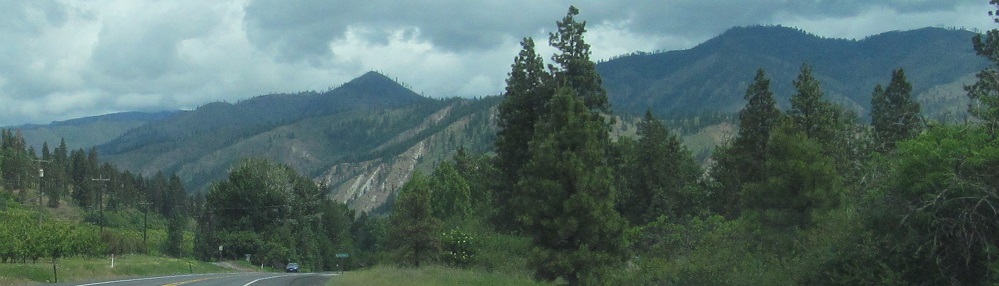
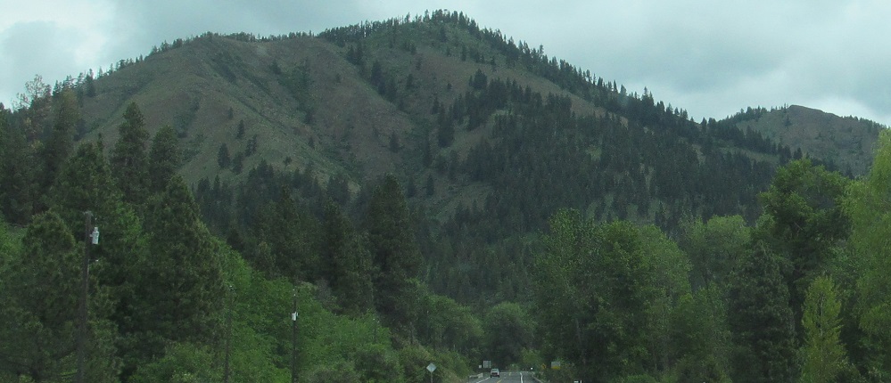
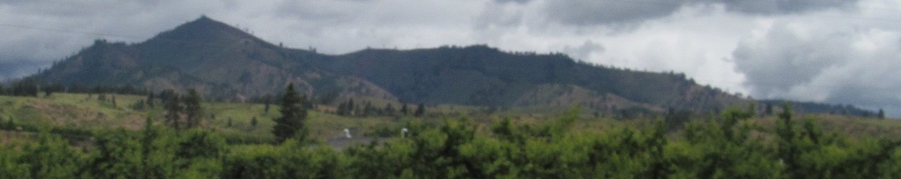
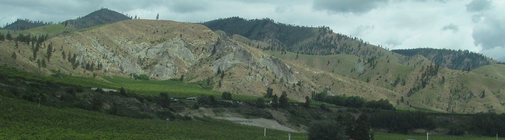
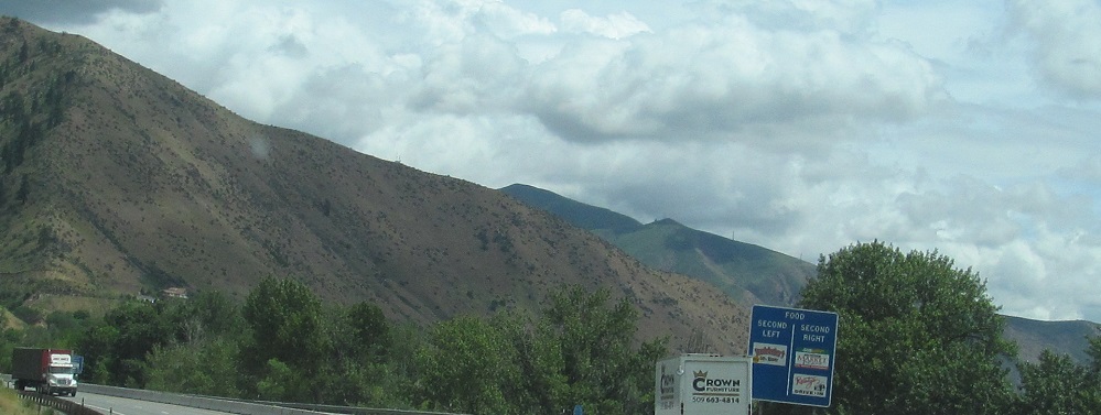
Emerging into a broadening valley with Peshastin Creek, I pass Wedge Mountain (2nd photo) and continue north to the US Route 2 junction.
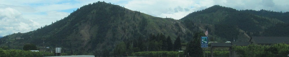
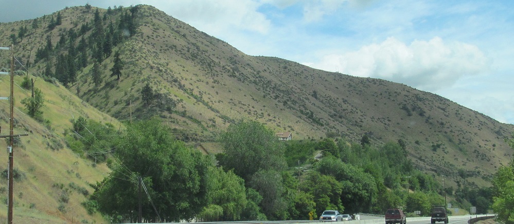
As promised, one look back south from there. Boundary Butte is on the right.
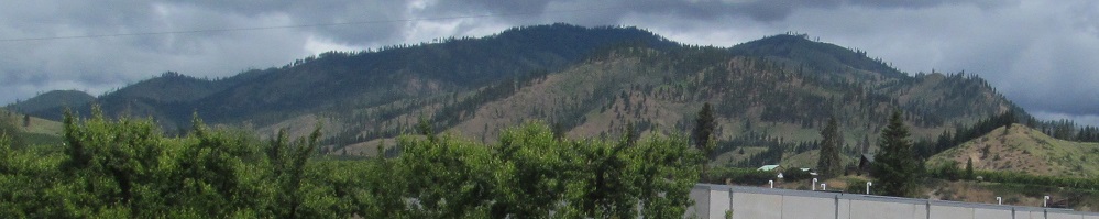
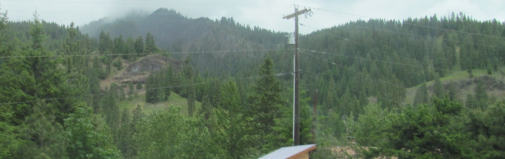
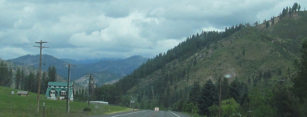
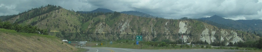
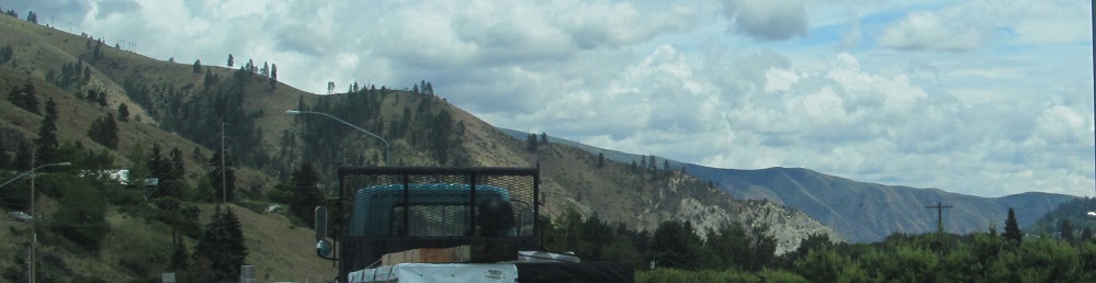
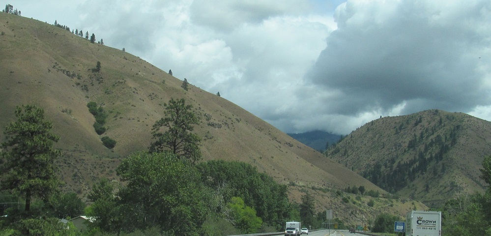
Now with US Routes 97 and 2 together, I head through Dryden, with the foothills of Blag Mountain and Tibbetts Mountain to the north (left and right, respectively).
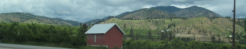
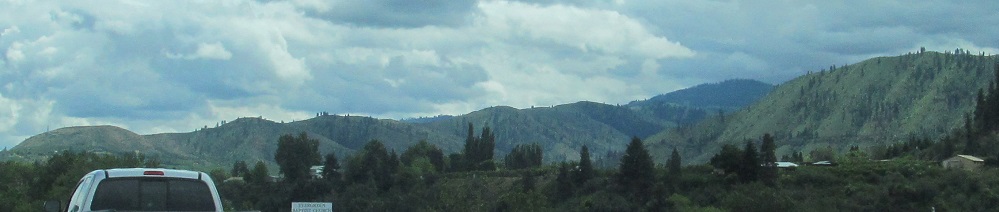
Panning from east to Blag.
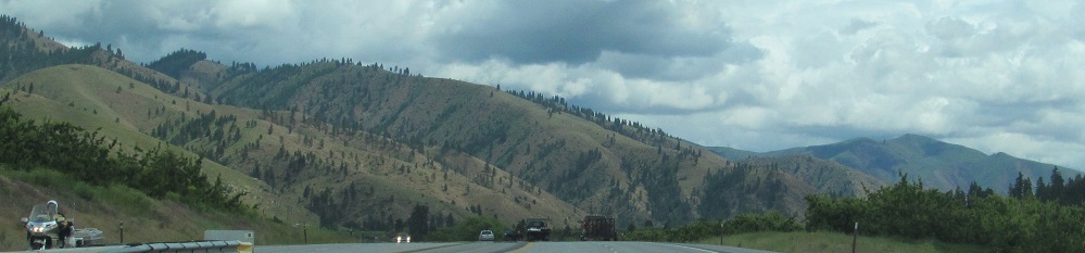
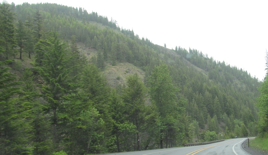
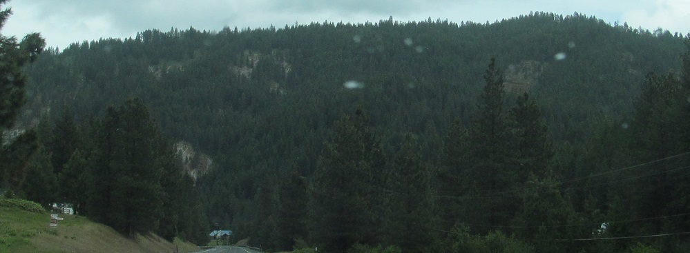
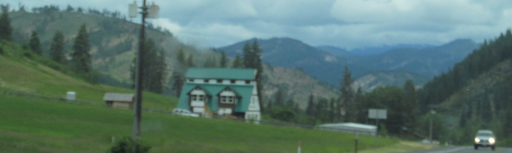
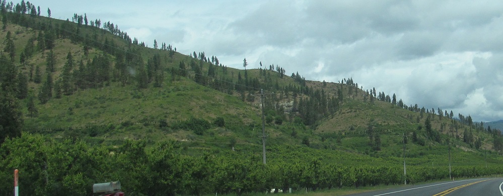
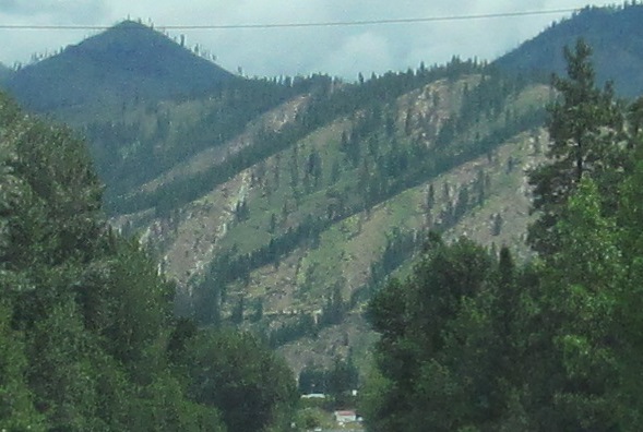
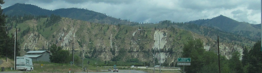
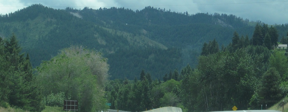
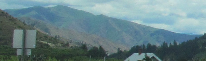
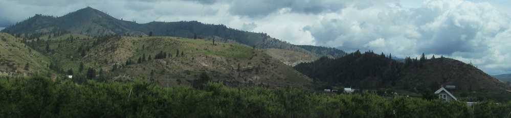
The very base of Burch Mountain, with the last photo looking southeast across Cashmere.
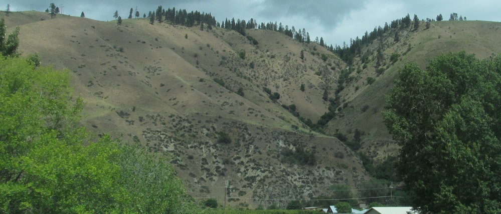
The center 3 photos pan from left to right. All are looking at the base of Burch Mountain, which blends into the foothills of Eagle Rock ahead.
Continue north/east of Cashmere
Cashmere, on historic US Routes 2 and 97
Onto US Route 2 alone
Back to US Route 97 main page
Back to Washington Non-Roads
Back to Non-Roads main page