Washington - US Routes 97/2 - N. of Cashmere
US Routes 2/97 north/east of Cashmere
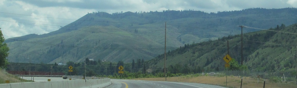
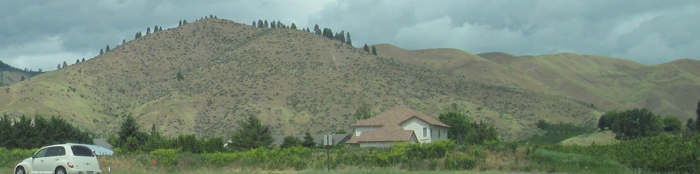
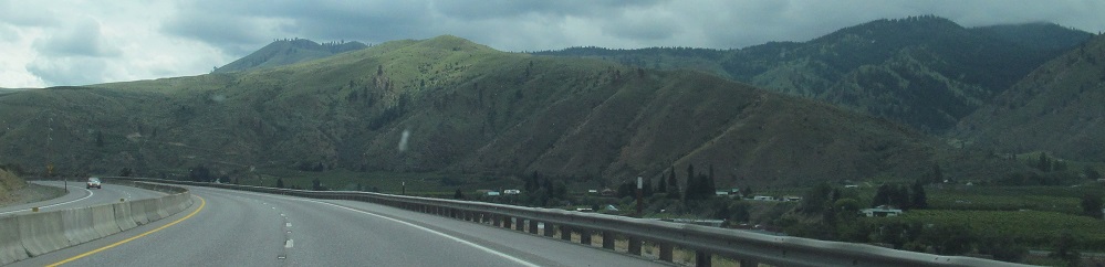
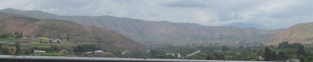
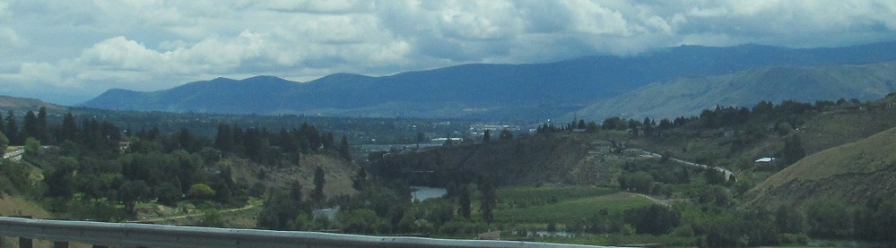
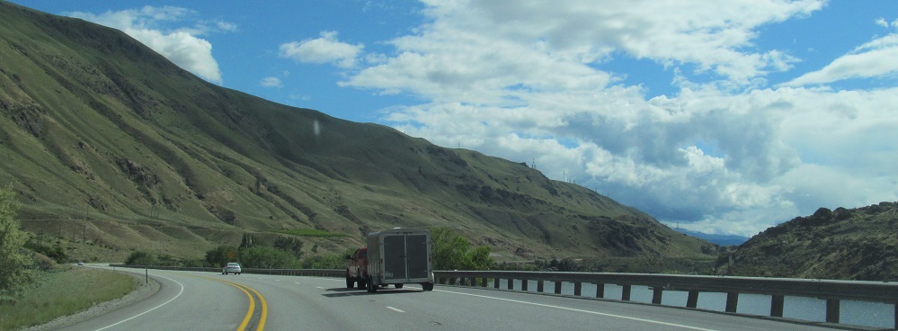
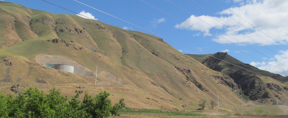
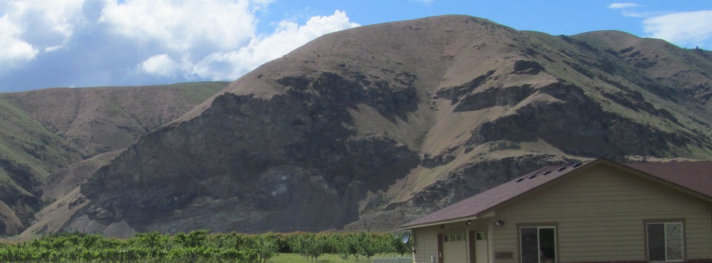
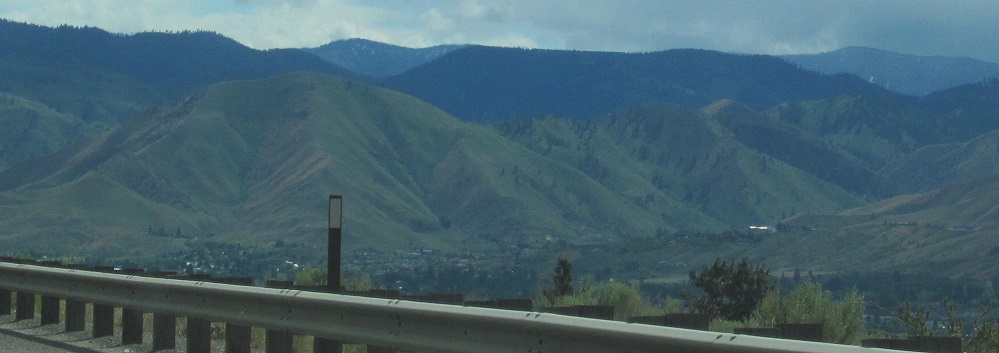
Looking east and south leaving Cashmere.
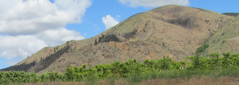
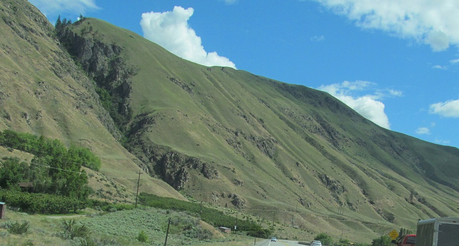
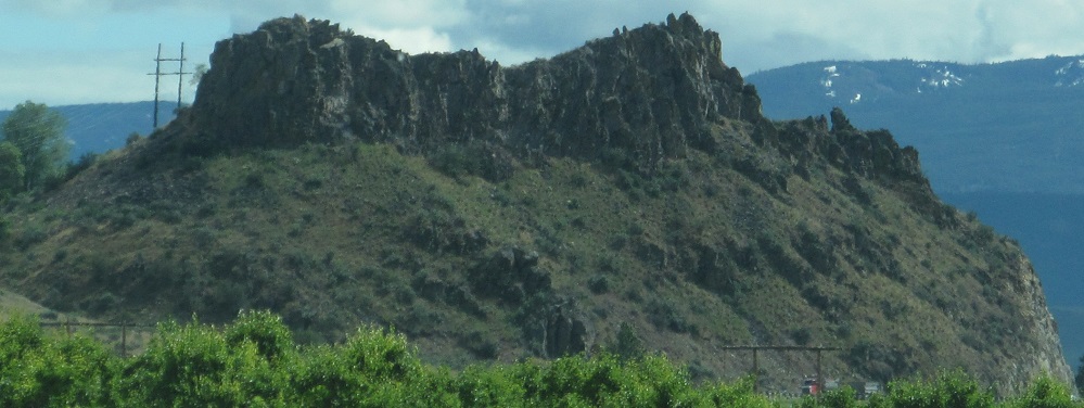
As I continue east, the base of Eagle Rock is to my left, and nameless hills are across the Wenatchee River to my right.
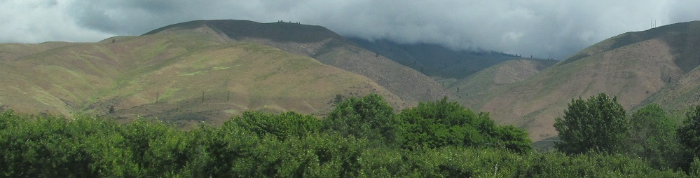
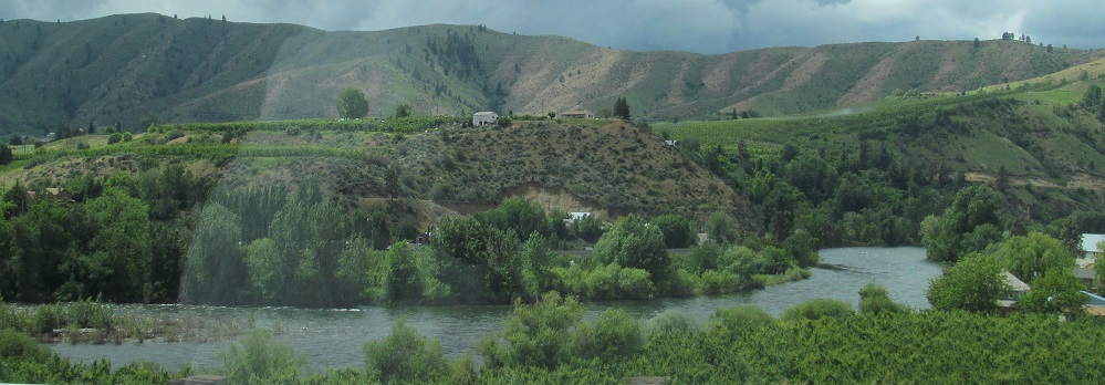
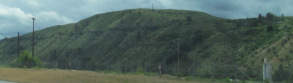
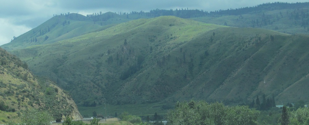
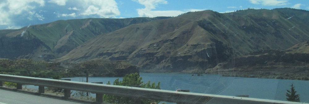
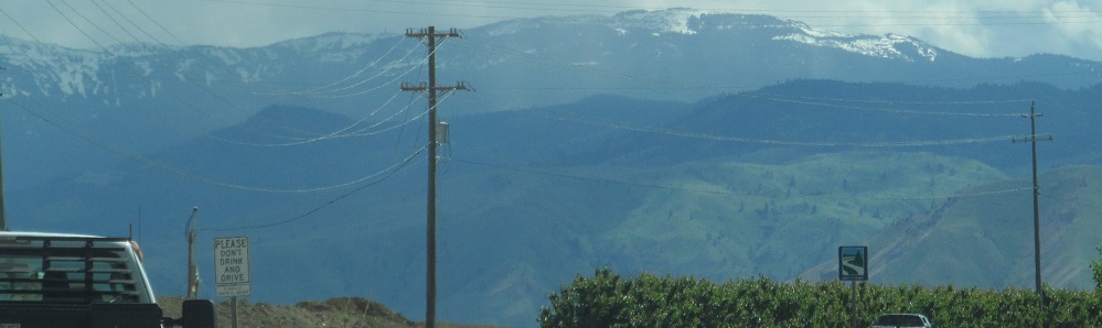
Panning from Eagle Rock to the east and south across the river.
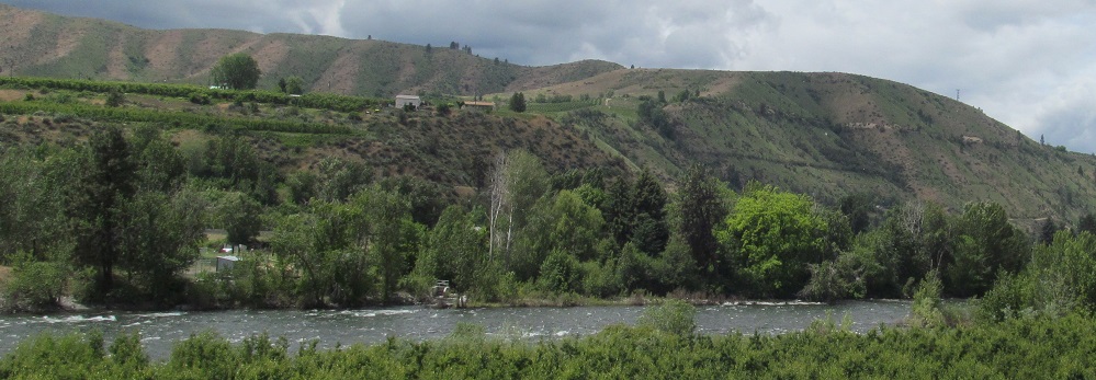
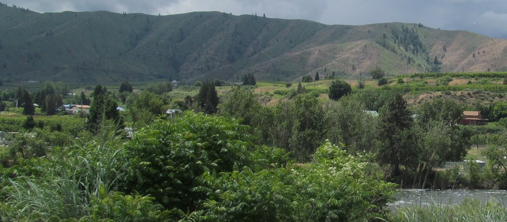
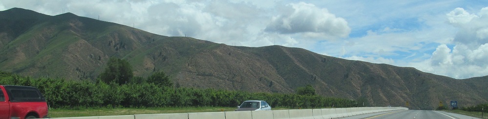
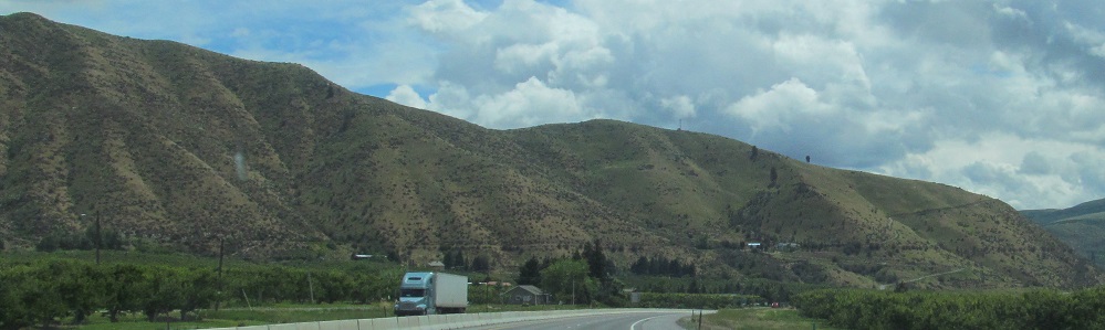
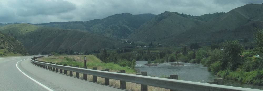
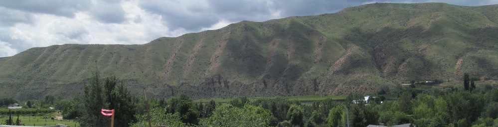
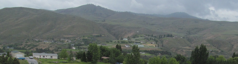
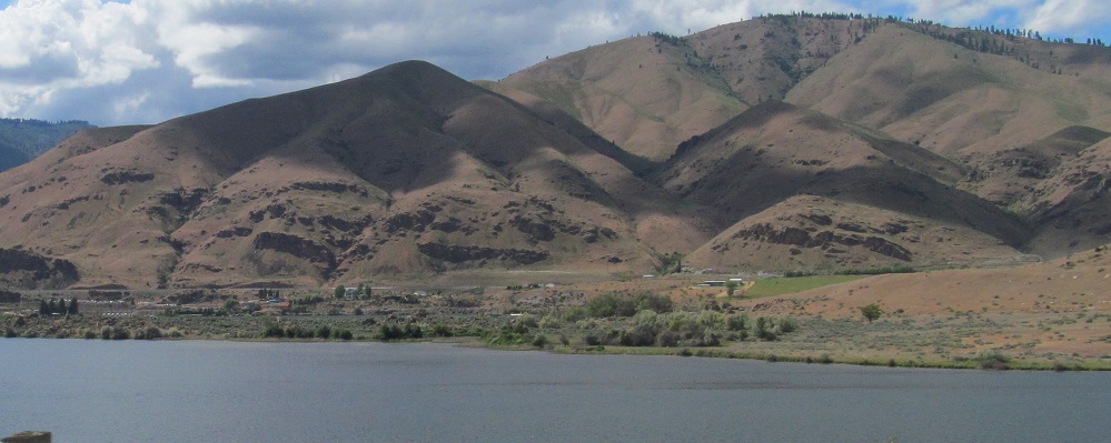
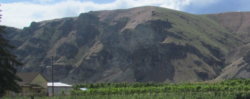
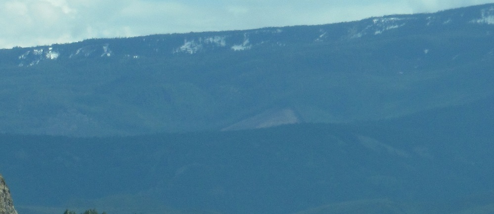
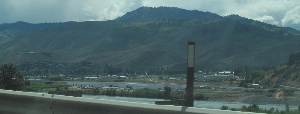
I briefly take the old highway to get closer to the river - nah, I take it because it's the old highway, but it happens to bring me closer to the river. Photos look south and southwest.
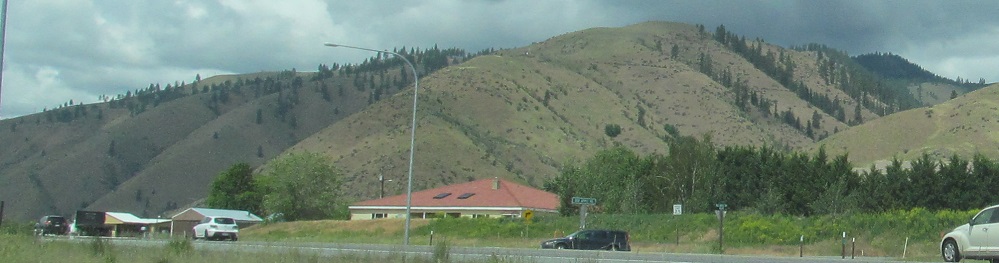
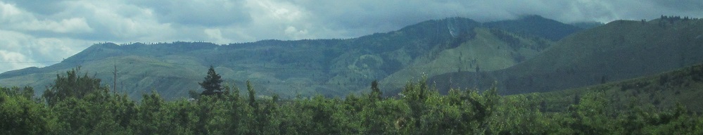
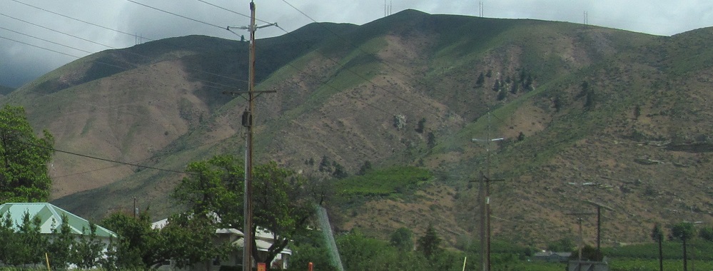
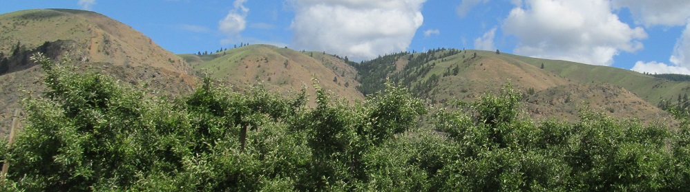
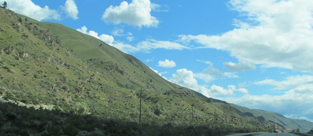
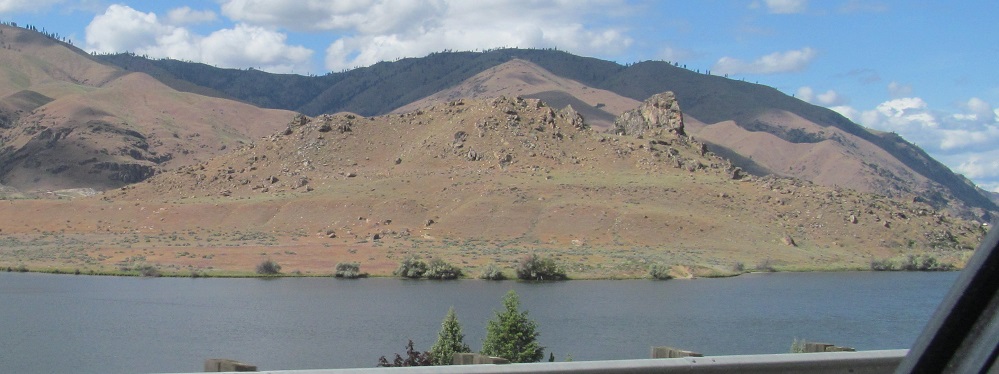
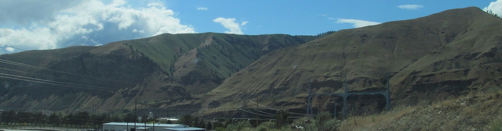
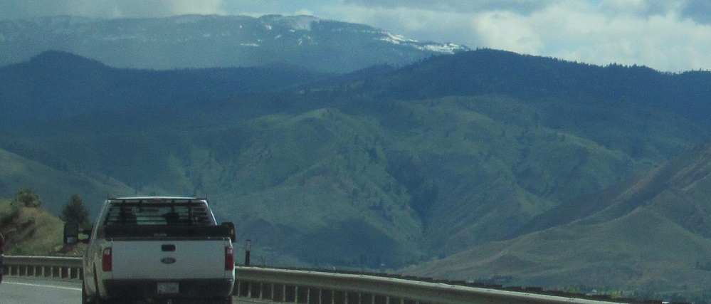
Looking across the modern highway at the hills left and right of Warner Canyon.
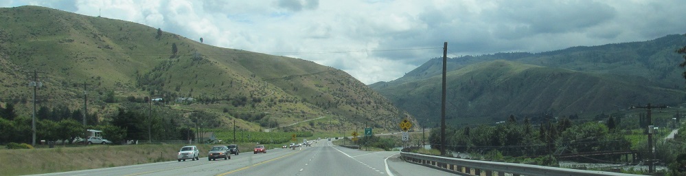
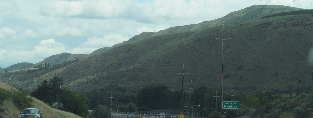
Continuing east into Monitor, as the sign informs.
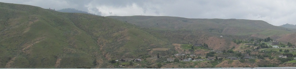
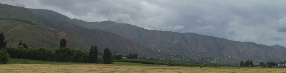
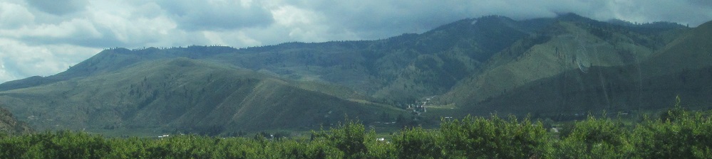
Scenes heading west on Easy Street, the old route through and out of Sunnyslope. The first two photos are a left-right pair that yields a view due west along the Wenatchee River to Monitor, while the last two photos are their own, more southerly pair.
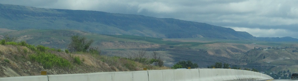
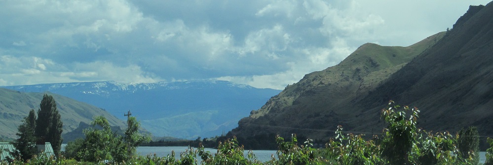
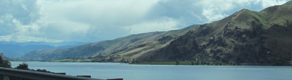
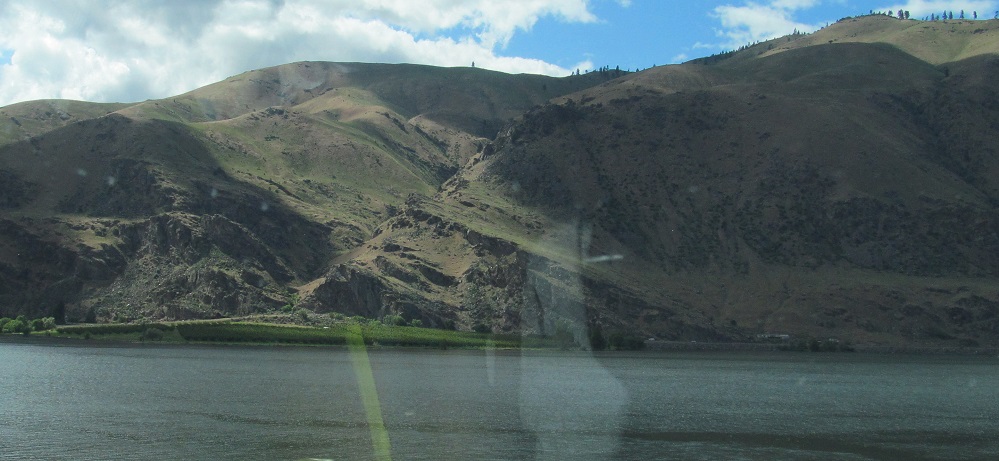
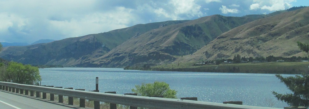
As the highway prepares to descend into Sunnyslope, the north suburb of Wenatchee, I am able to capture a panorama across the Columbia River. The hills to my left lead from Burch Mountain, while the hills across the river to the southeast belong to Badger Mountain.
All remaining photos were taken heading south.
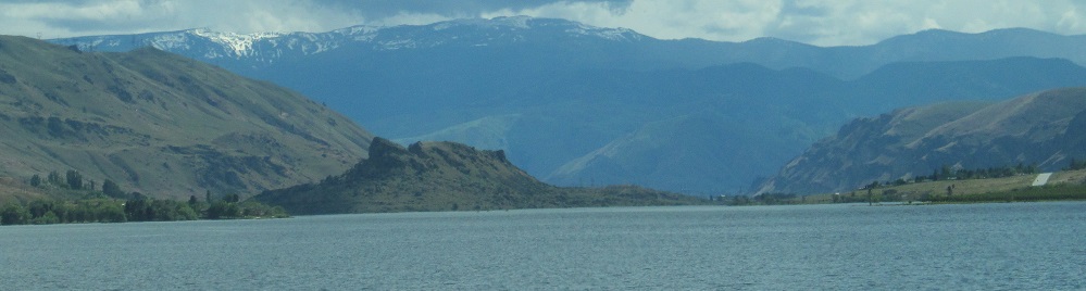
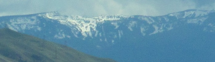
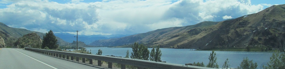
The reason for the breakline is that my photos now jump to the northern junction of US Routes 2 and 97 in Orondo, panning across the Columbia River to the south. Mission Peak on Naneum Ridge is in the distance, flanked by the bottoms of Badger Mountain to the left and the Entiat Mountains to the right.
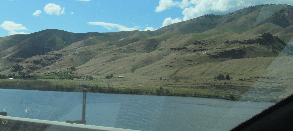
The foothills of Badger Mountain keep me company to the east.
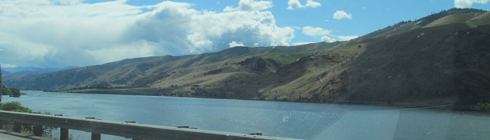
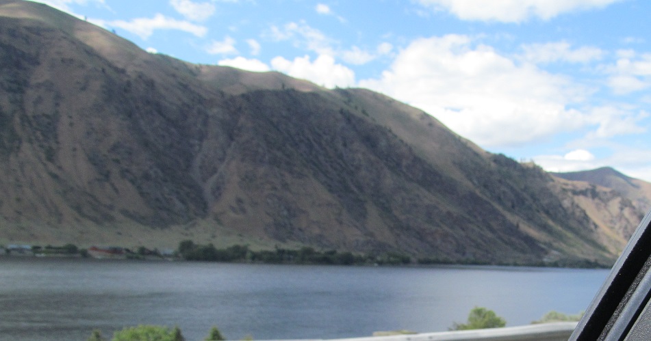
Starting south toward Sunnyslope once more, then panning from Badger to Entiat and ending facing north.
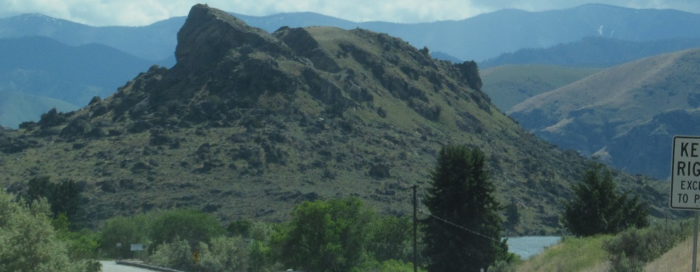
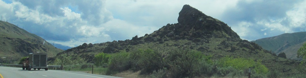
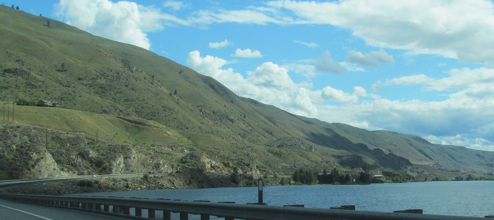
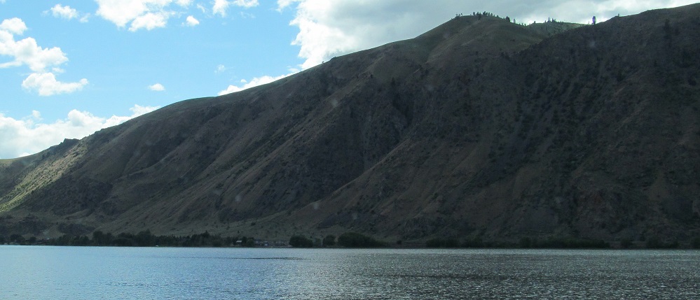
Turtle Rock is ahead, flanking Columbia River photos.
To my left as I draw alongside Turtle Rock.
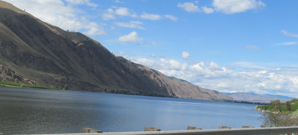
To my right, the Entiat Mountains are now the eastern extremity of Burch Mountain. I pan from left to right.
From left to right approaching Rocky Reach Dam, featuring Mission Peak once more.
Burch Mountain to the east, left and right.
The first two and last three photos each look from left to right. The latter triptych gazes across Wenatchee and ends at Horse Lake Mountain.
Continue south/west of Cashmere
Cashmere, on historic US Routes 2 and 97
Onto US Route 2 alone
Back to US Route 97 main page
Back to Washington Non-Roads
Back to Non-Roads main page