Washington - US Route 2 - W. of Peshastin
US Route 2 west of Peshastin
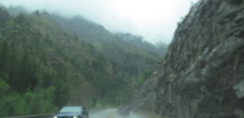
All photos were taken heading west.
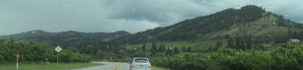
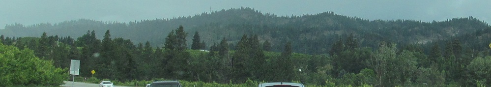
US Route 2 becomes the Stevens Pass Greenway as it leaves Peshastin.
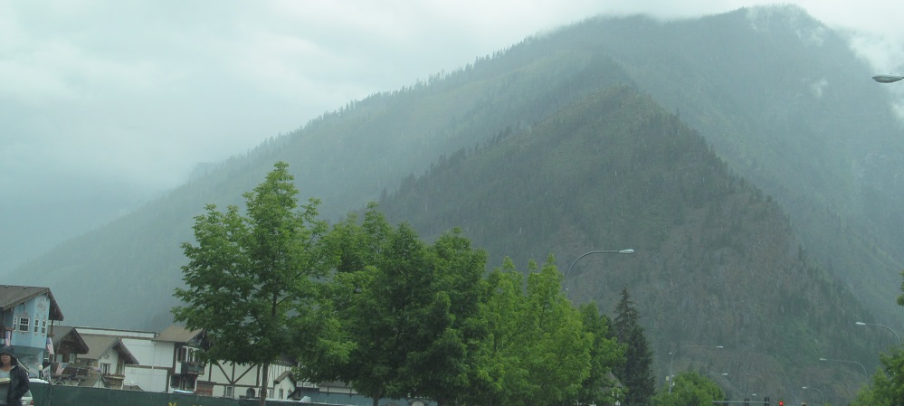
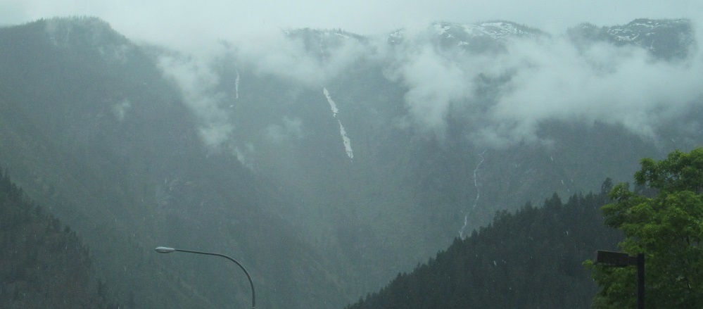
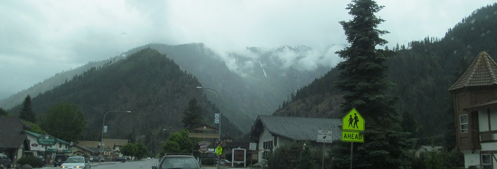
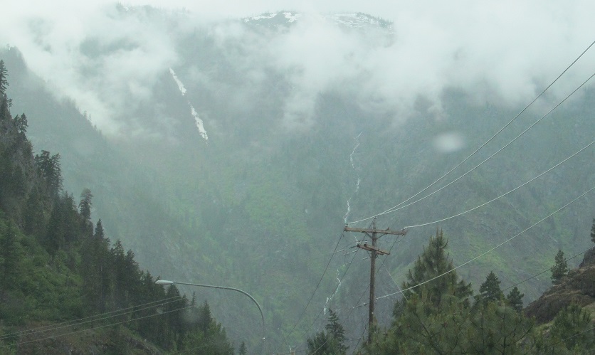
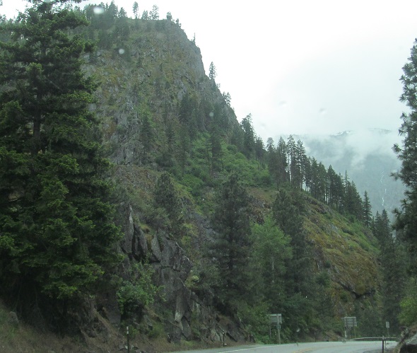
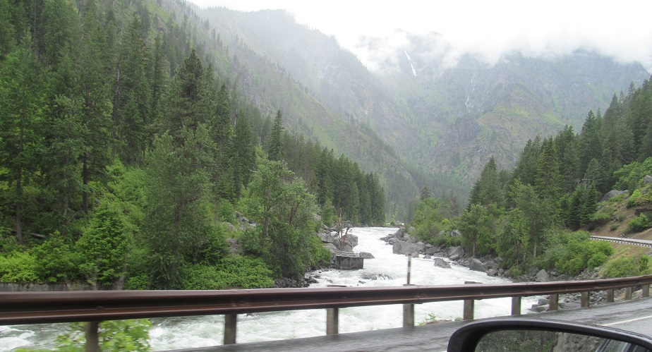
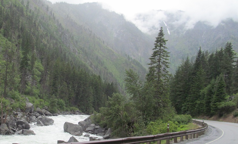
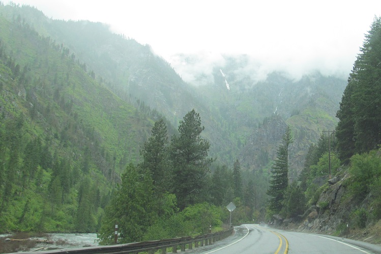
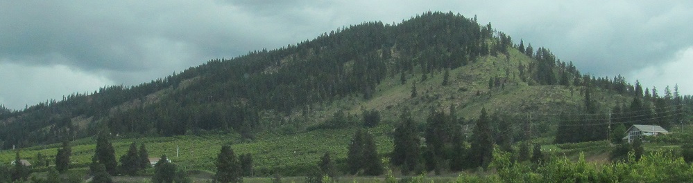
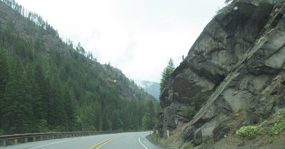
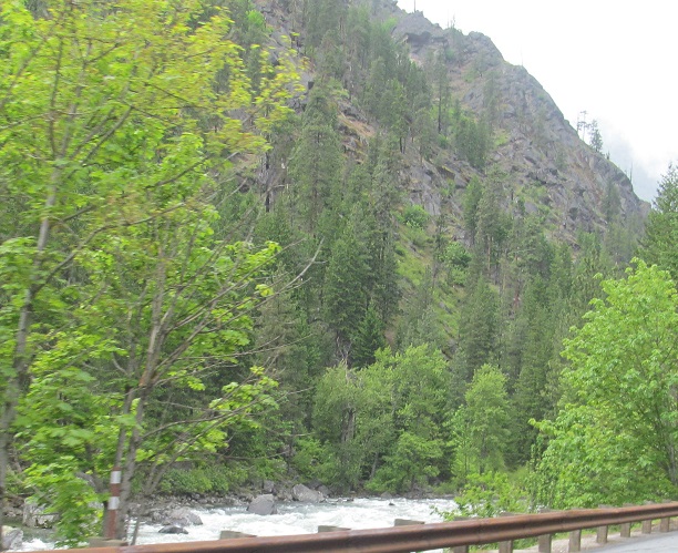
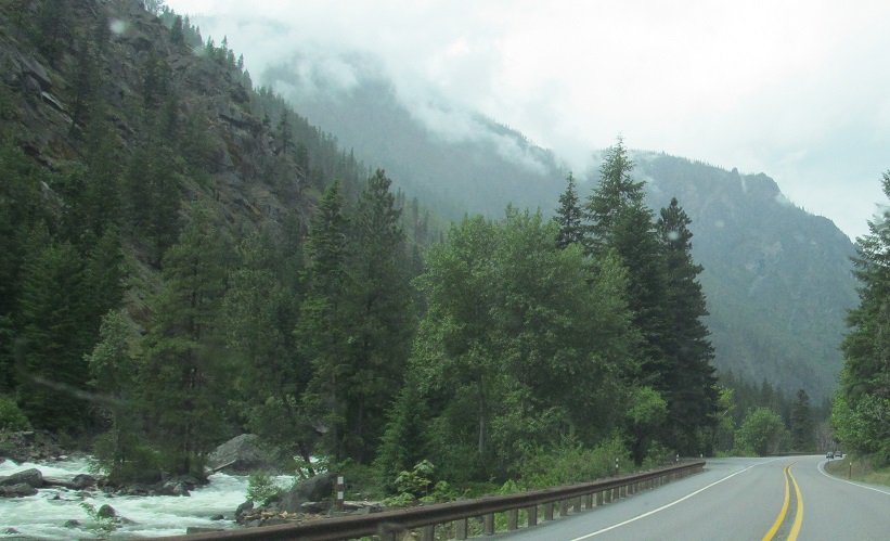
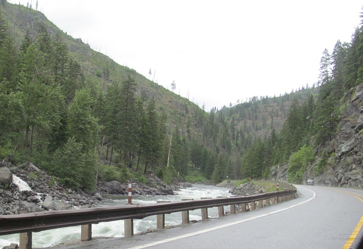
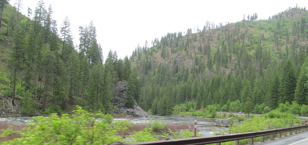
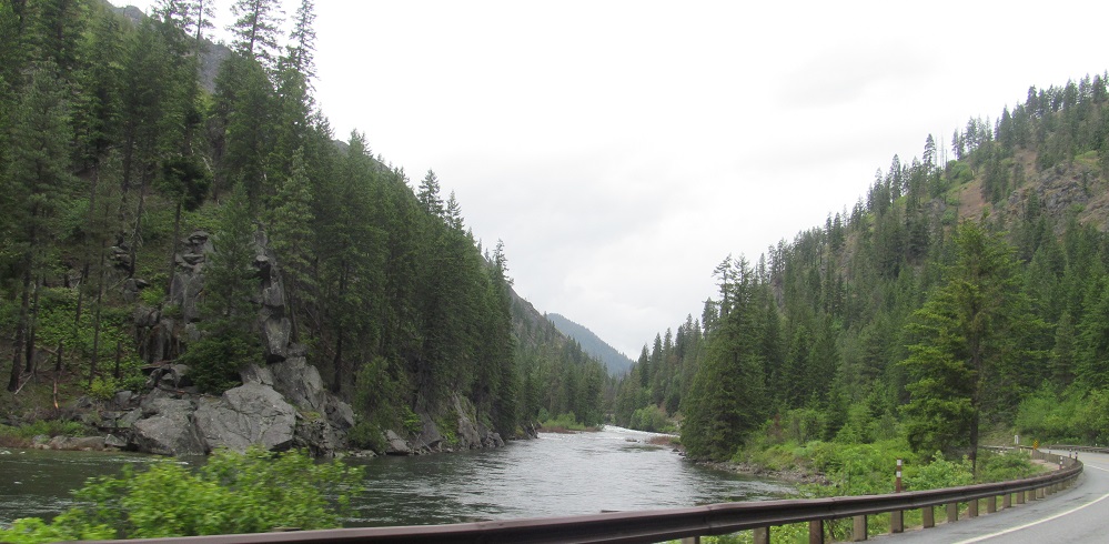
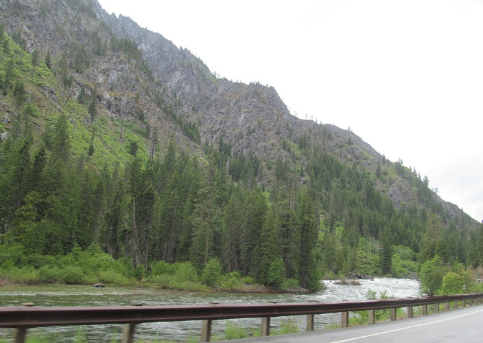
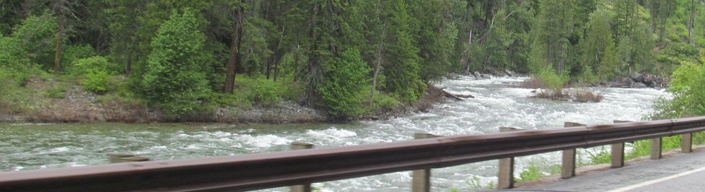
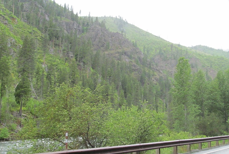
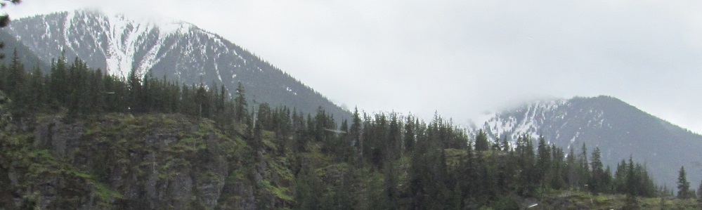
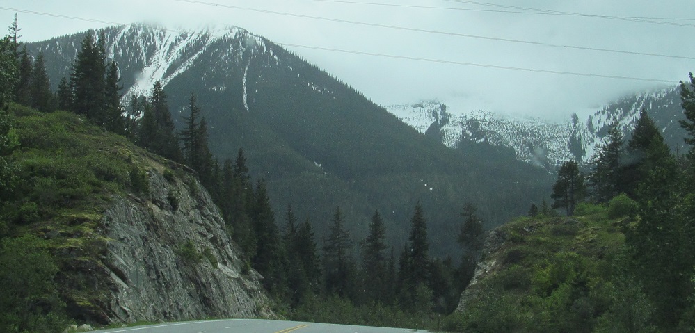
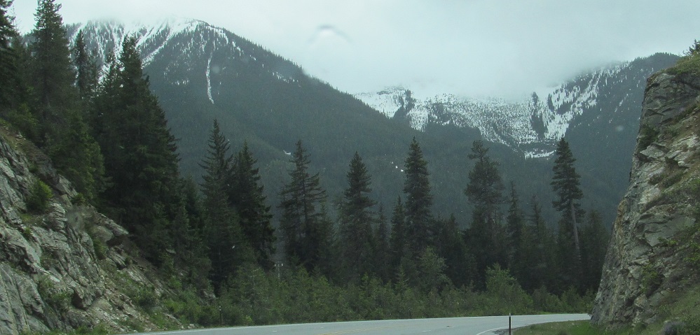
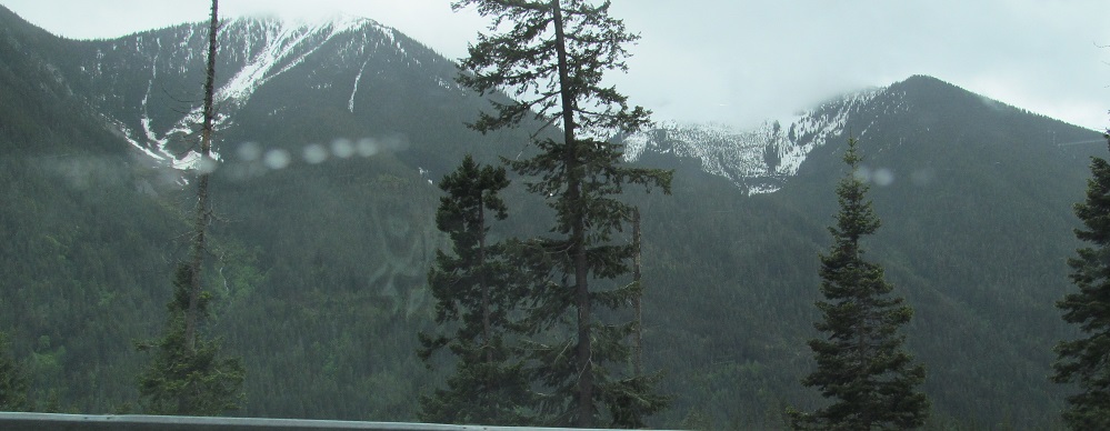
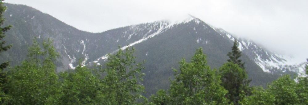
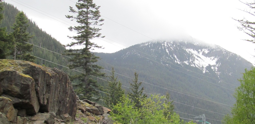
US Route 2 enters Tumwater Canyon alongisde the Wenatchee River past Leavenworth. Most of these photos (except the 7th of 10) feature Icicle Ridge, which is the south wall of the canyon; eponymous Tumwater Mountain is the north wall.
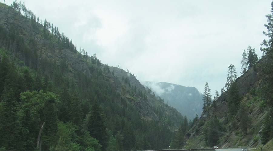
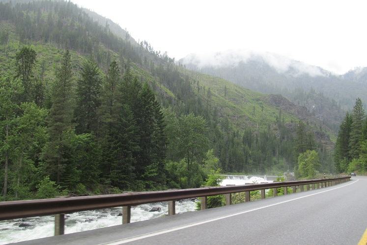
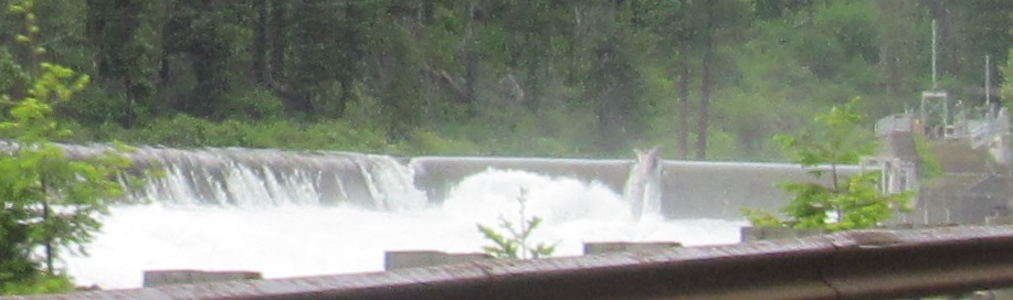
This is as far as Icicle Ridge goes. The 1st, 4th, and 5th photos are starting to feature more of Tumwater Mountain, while the penultimate photo is of the Wenatchee River Dam.
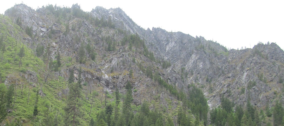
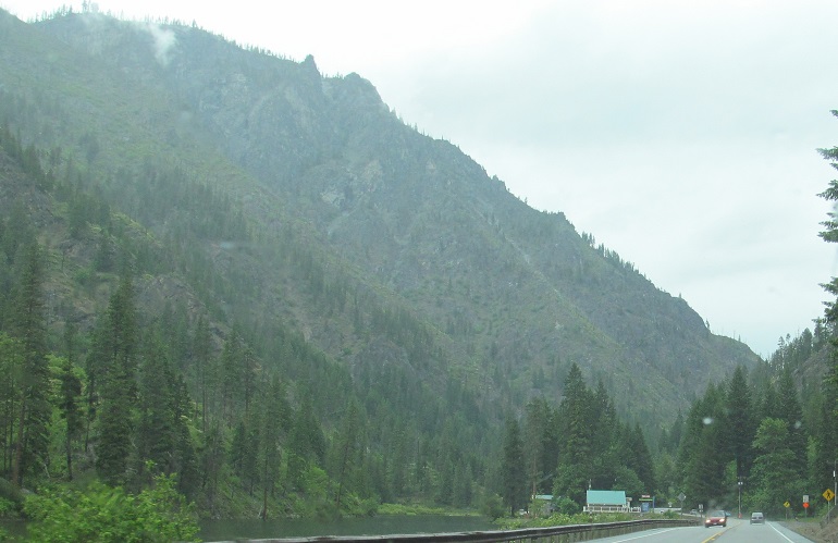
The last 3 photos feature Josephine Crag.
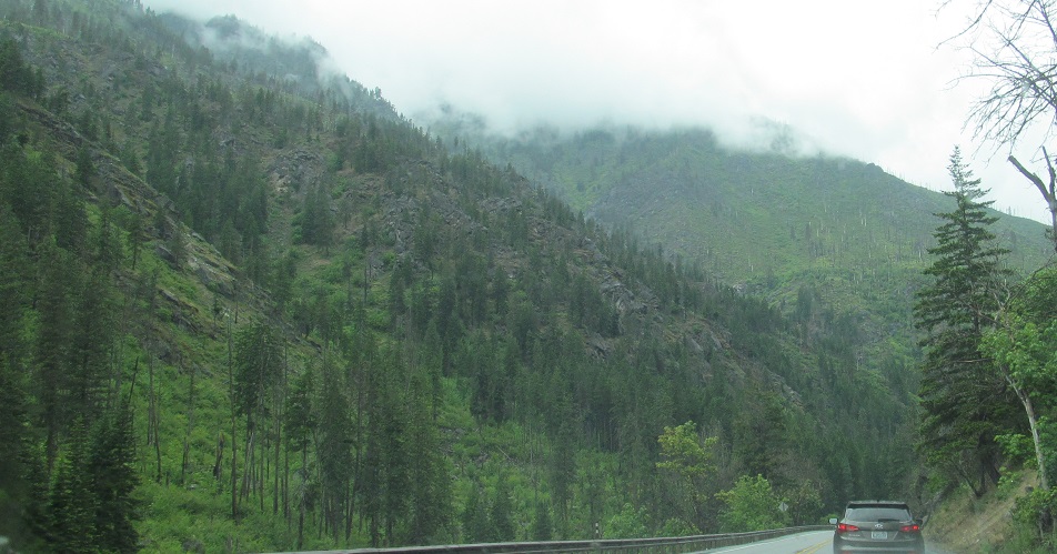
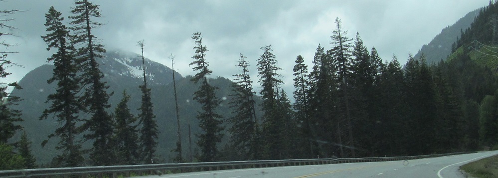
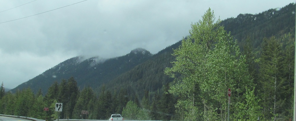
Tumwater Mountain ends in the 2nd photo and we (highway, river, and narrator) exit the canyon after this.
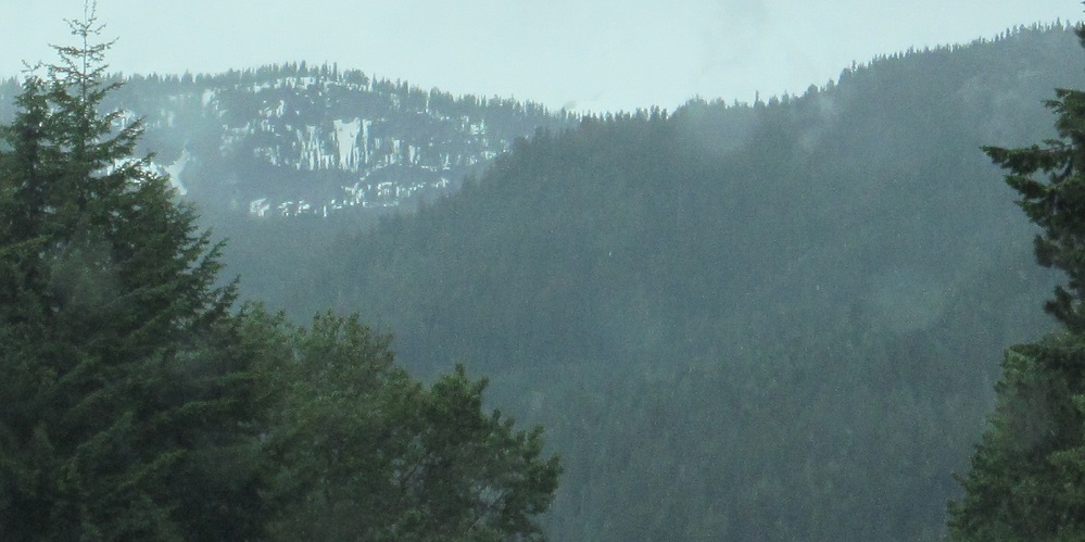
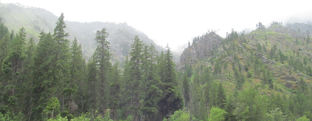
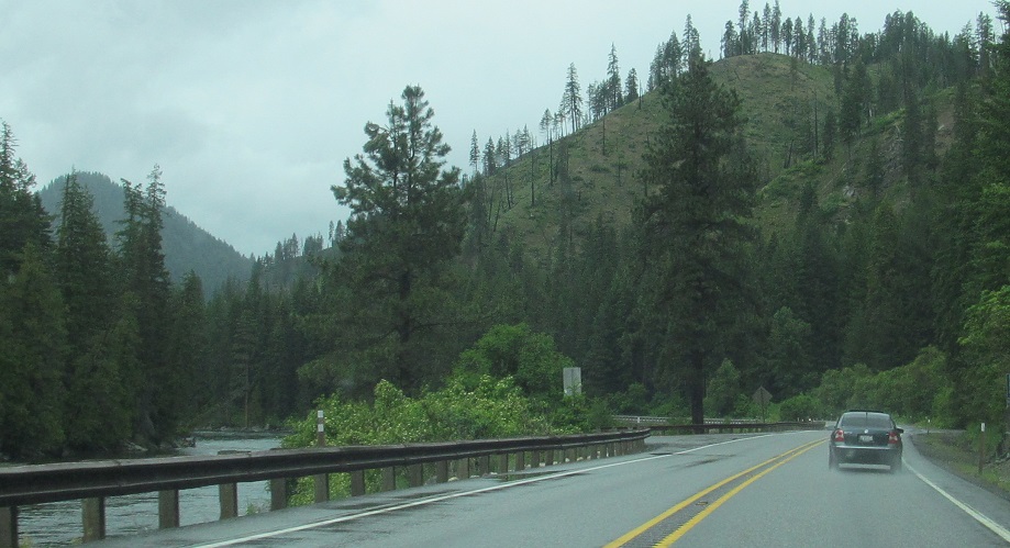
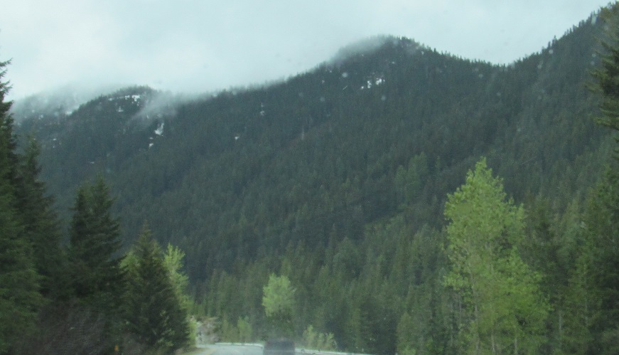
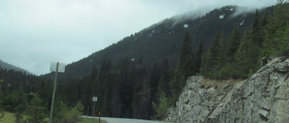
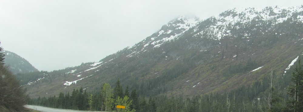
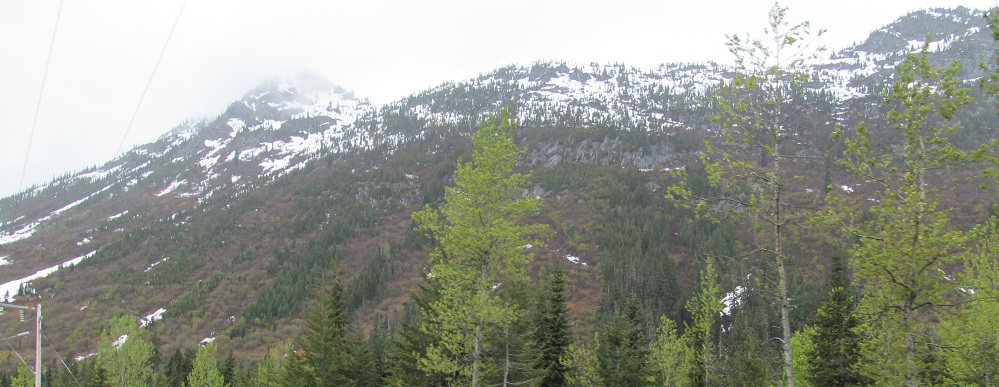
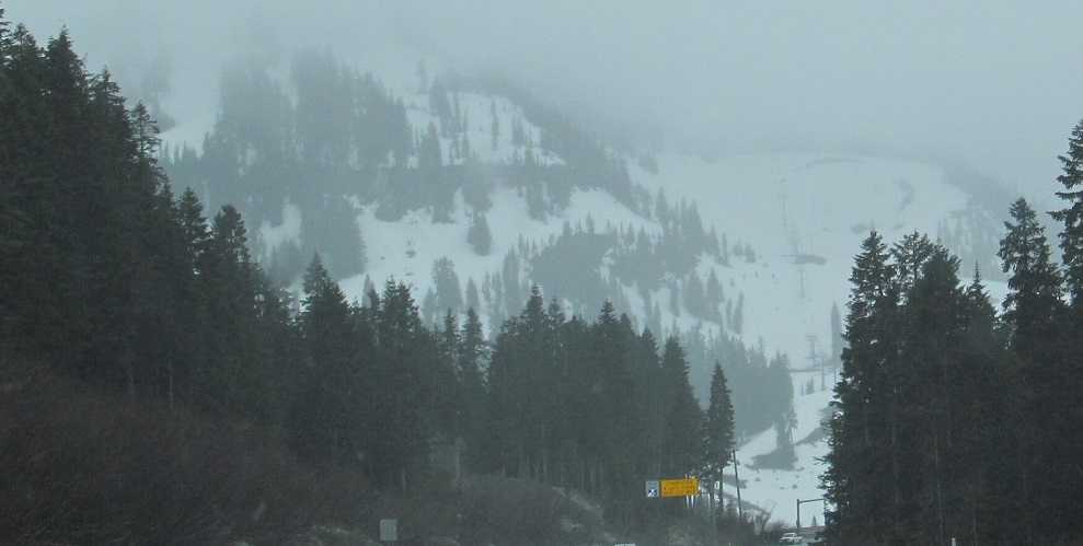
A few miles west of Coles Corner, Nason Ridge (2 photos) is to my north, Nason Creek is alongside me, and the Chiwaukum Mountains (2 photos) are to my south.
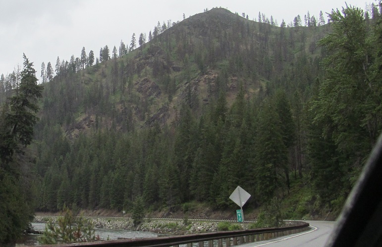
As US Route 2 bends and winds its way west with the creek, the southerly views include Arrowhead Mountain (3rd and last photos).
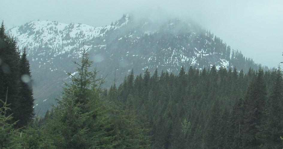
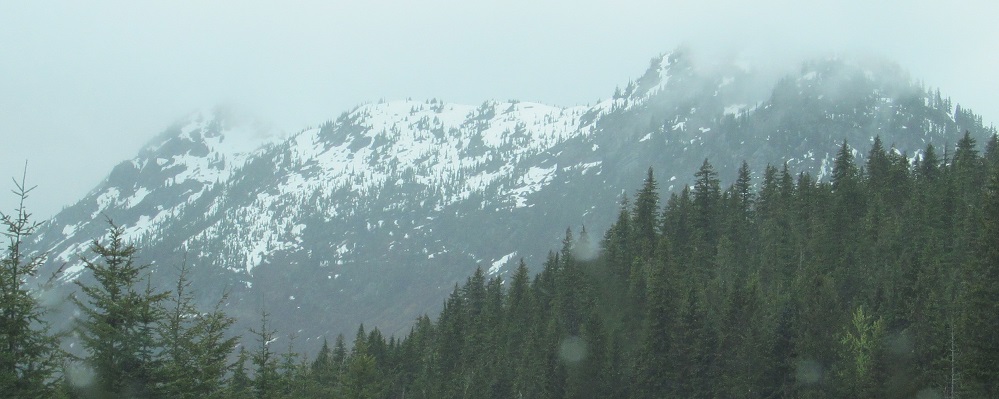
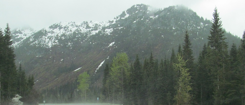
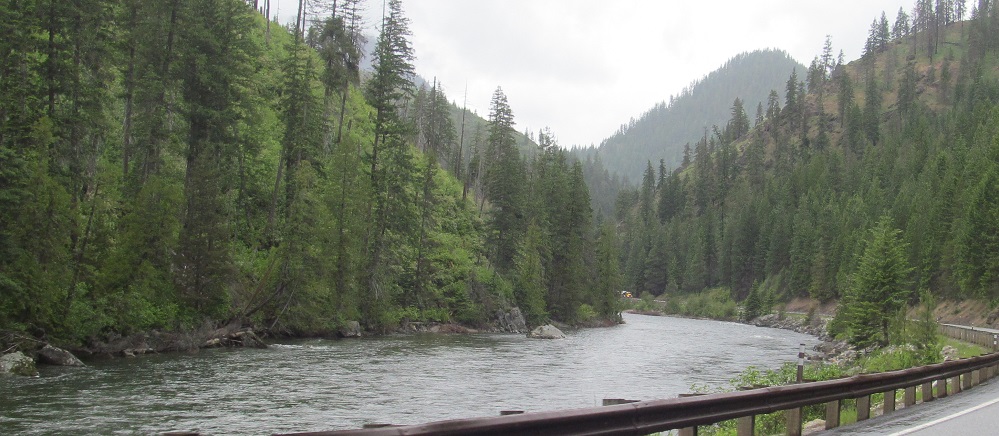
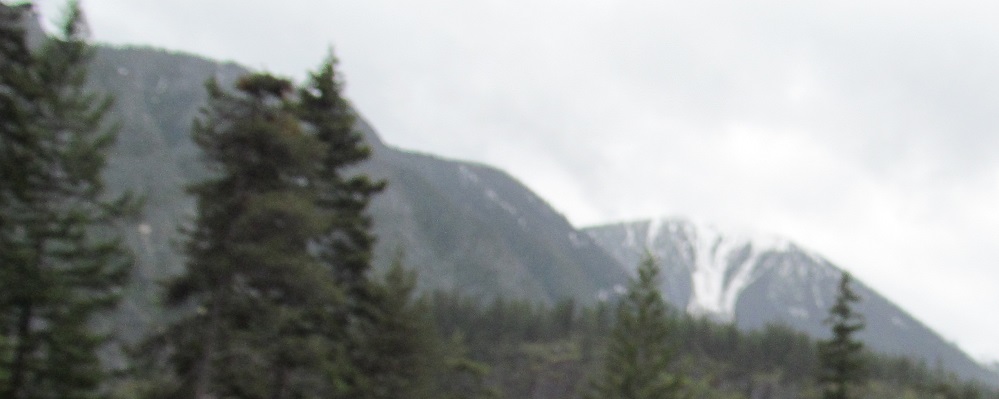
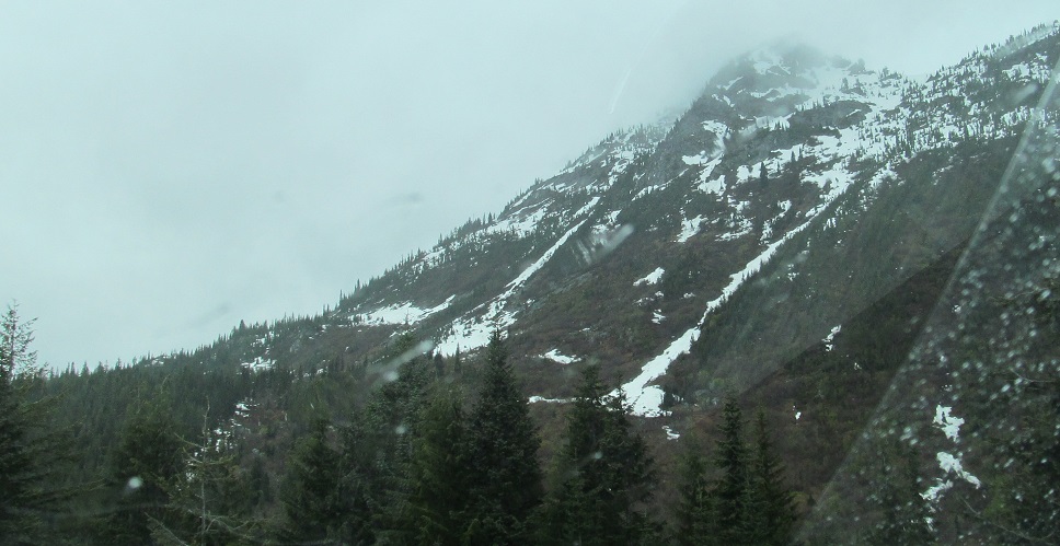
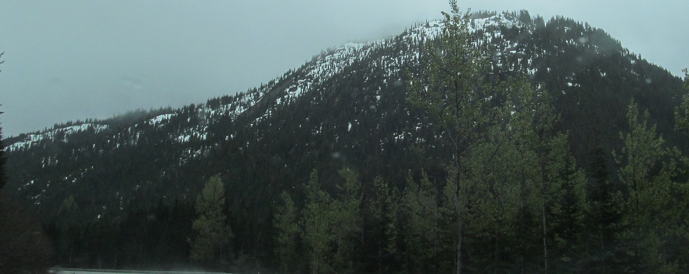
After a few more minutes, Nason Ridge (3 photos) ends and Lichtenberg Mountain (4 photos) is dead ahead. The last two photos are a right-left pair.
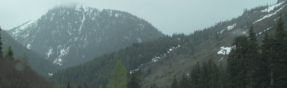
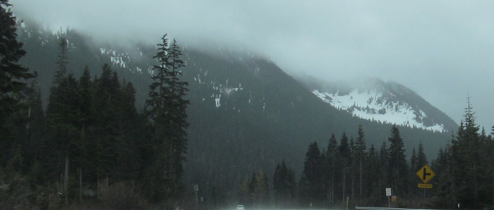
Tye Peak (first 2 and last photos) is south of Lichtenberg Peak (3rd and 4th photos, now looking northwest).
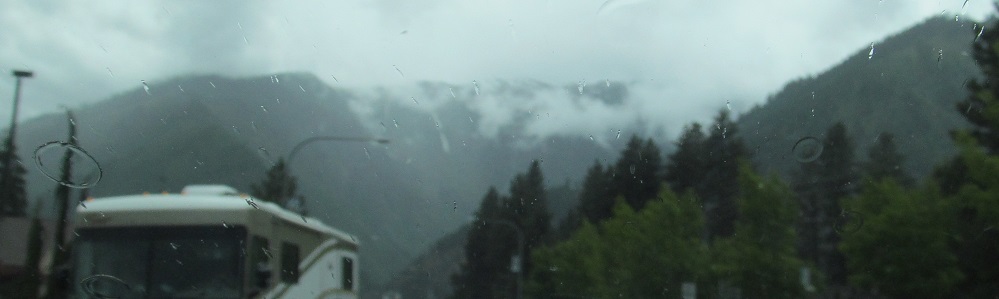
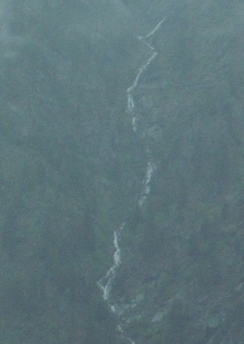
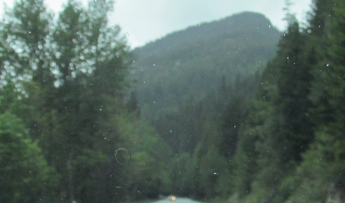
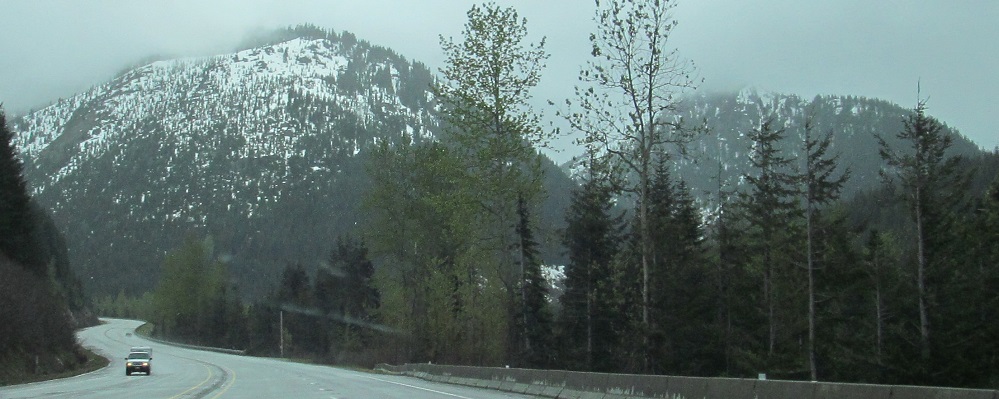
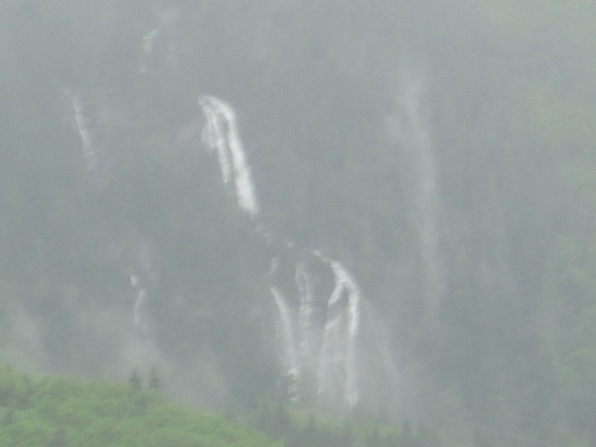
Assorted other Cascade Range views: Big Chief Mountain, Cowboy Mountain seen looking southwest from Stevens Pass, random falls to the left after Tunnel Creek.
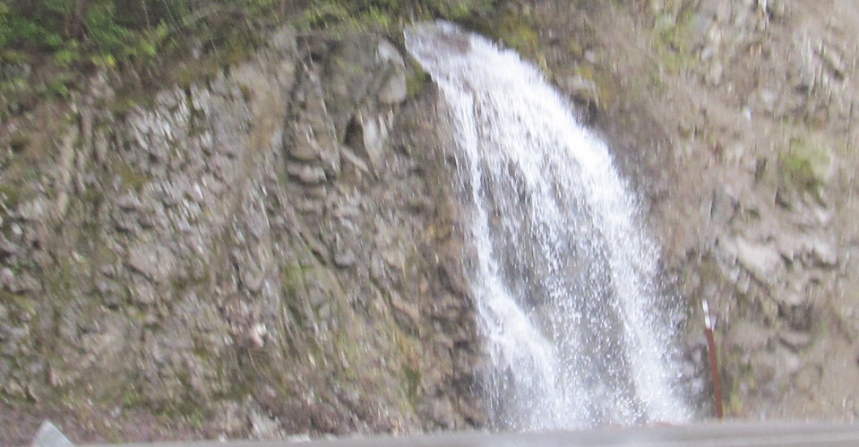
These photos are near Index, named after Mount Index, which forms the backdrop for the first photo. Lake Serene is perched in Mount Index, and drains through Bridal Veil Creek into the Bridal Veil Falls seen here. The second photo looks north at the very end of Heybrook Ridge just east of Index. US Route 2 then exits the Cascades with the Skykomish River on its way to Everett.
Davenport
Back east onto US Route 97 and Routes 2/97
Back to US Route 2 main page
Back to Washington Non-Roads
Back to Non-Roads main page