Washington - US Route 2 - Moses Coulee & E.
US Route 2, Moses Coulee and east
All photos were taken heading west.
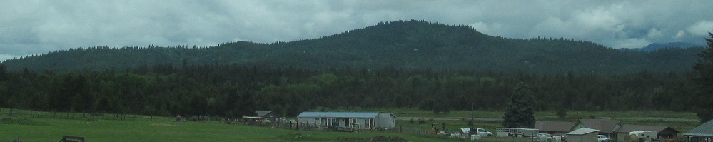
Somewhere between the Big Wheel and the giraffe on the main page.
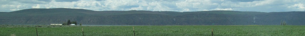
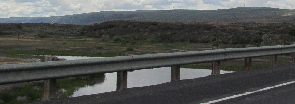
Well beyond Spokane I come to Banks Lake, part of the ancient riverbed known as Grand Coulee. Photos pan from right to left.
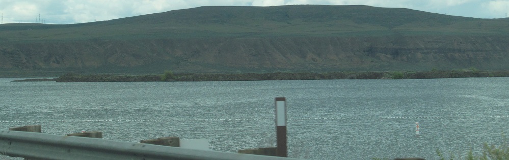
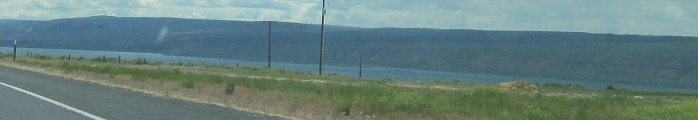
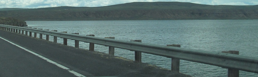
Panning from left to right as I drive along the base of the lake.
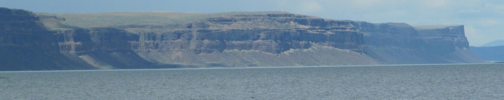
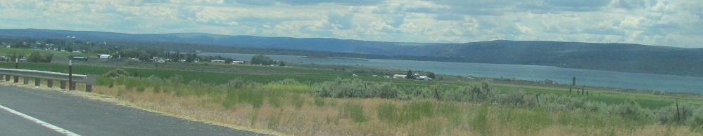
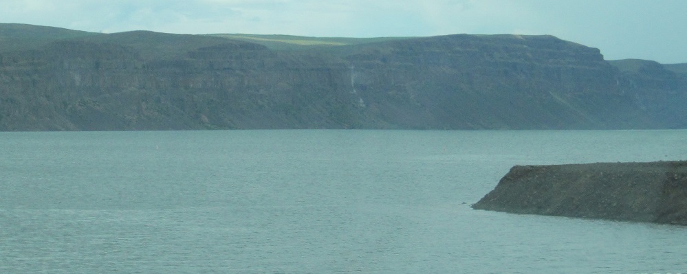
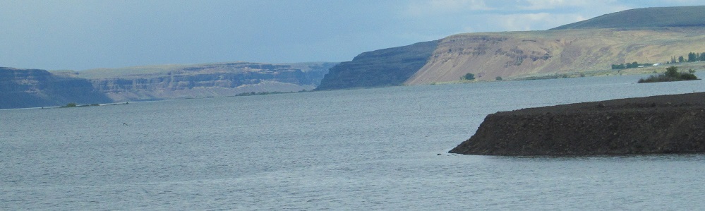
South, west, and north. Coulee Lake is the small southerly body of water.
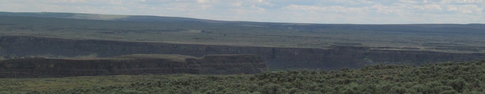
Other than Coulee Lake, there's just a lot of dry land to the south, including the clifs of Haynes Canyon. The chopped hills in the last photo are the west side of Grand Coulee.
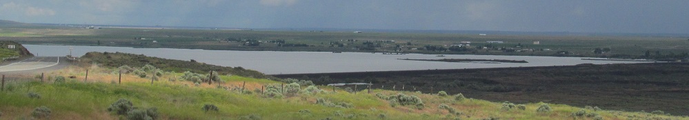
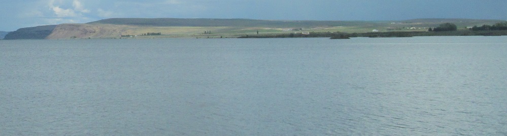
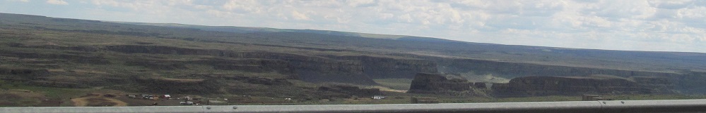
A last look back east at Banks Lake.
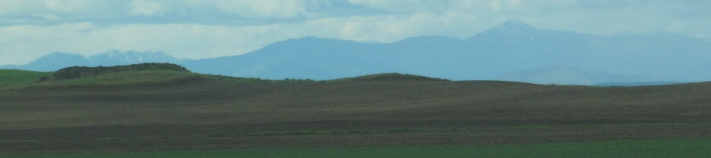
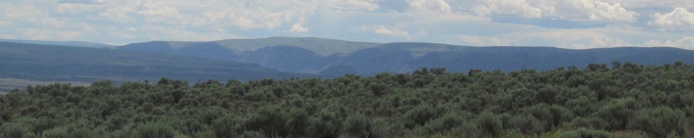
The Entiat Mountains (left and right photos) become faintly visible in the distance.
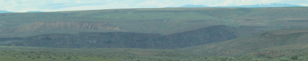
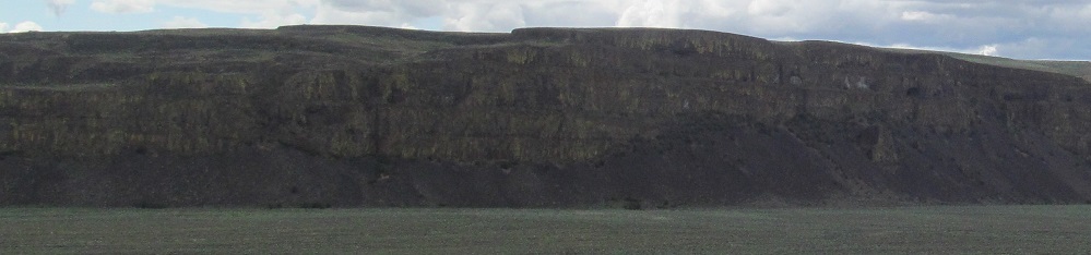
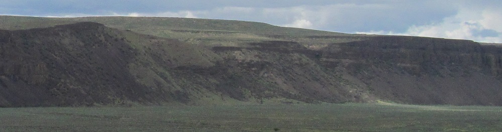
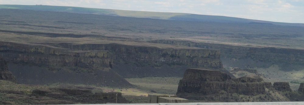
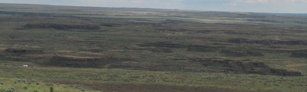
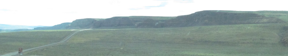
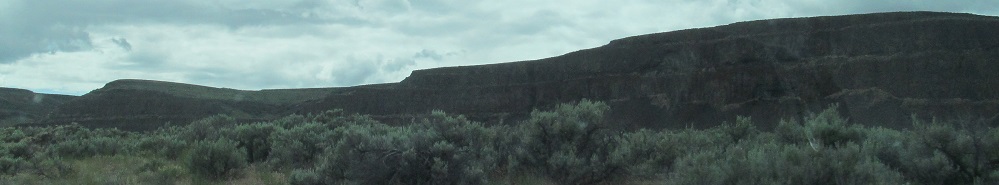
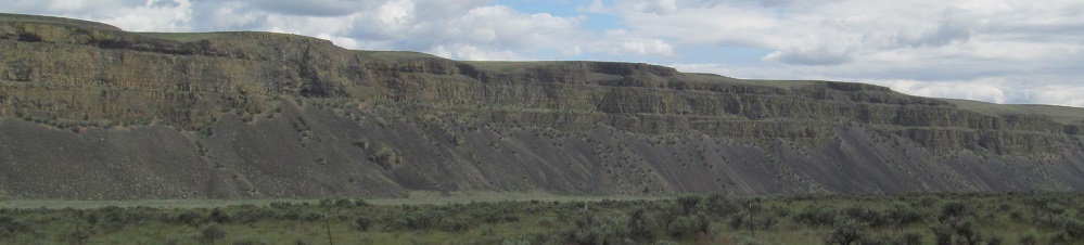
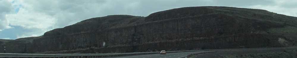
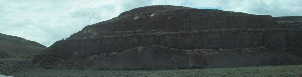
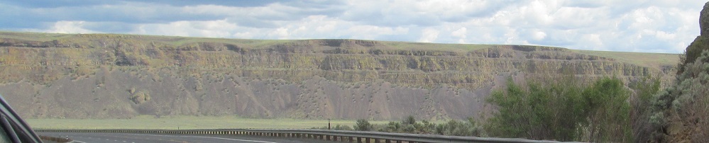
Barely out of one coulee before I enter the next one, Moses. The 3rd-5th (last) photos pan from left to right.
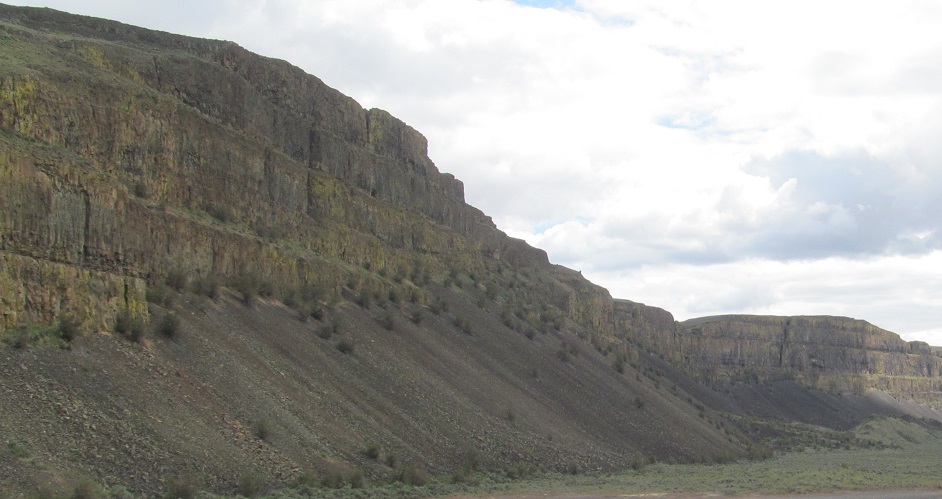
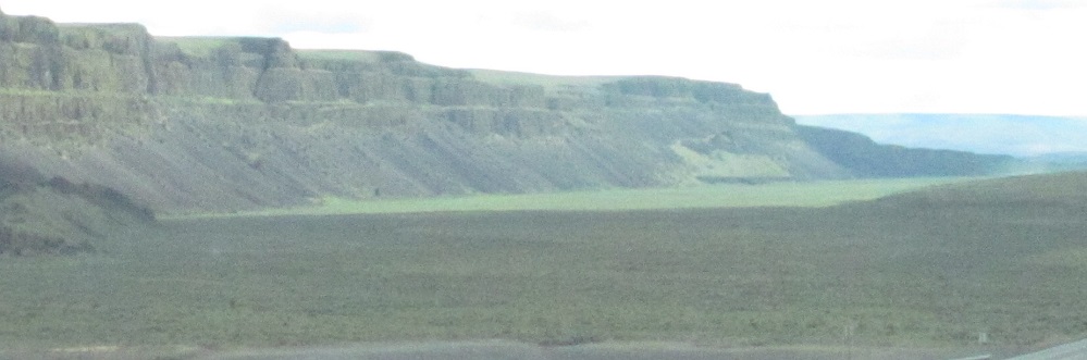
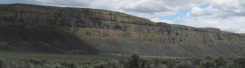
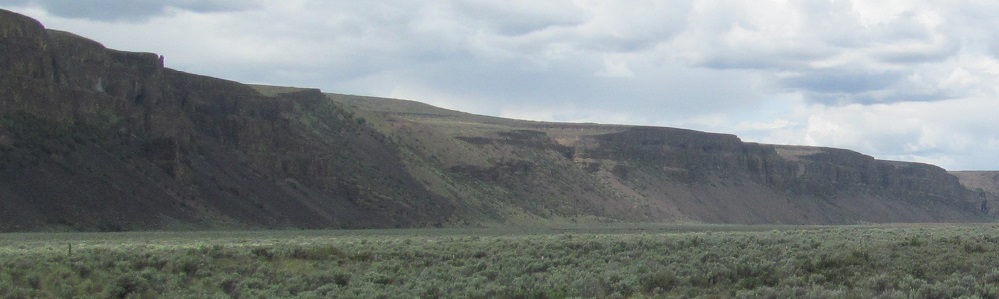
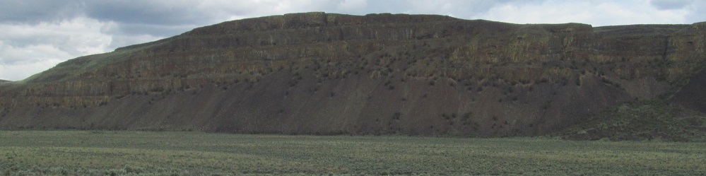
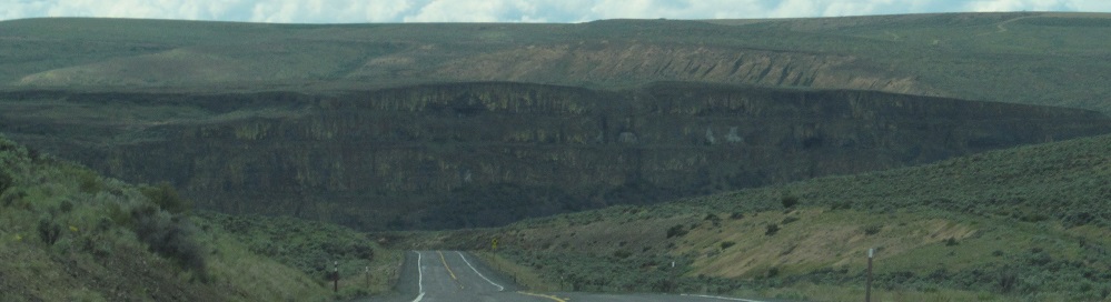
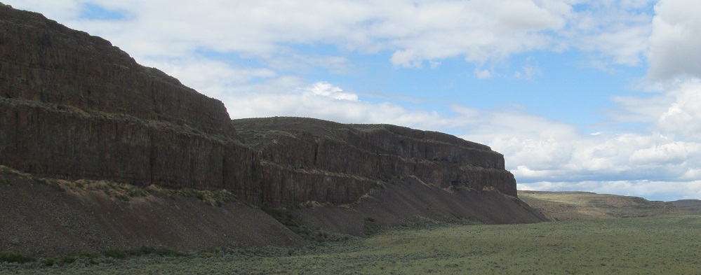
The first photo is looking back over my shoulder (southeast). The rest pan around the south side of the coulee, up the west side, and back across the north in a nearly-complete circle.
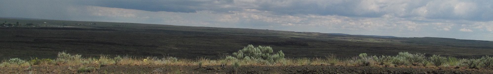
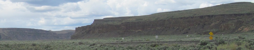
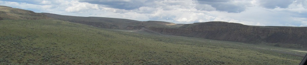
Two sets of left-right 3-photo panoramas.
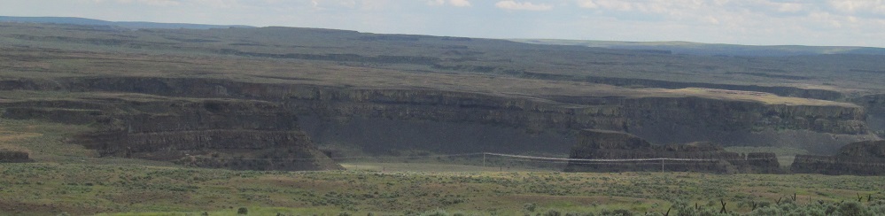
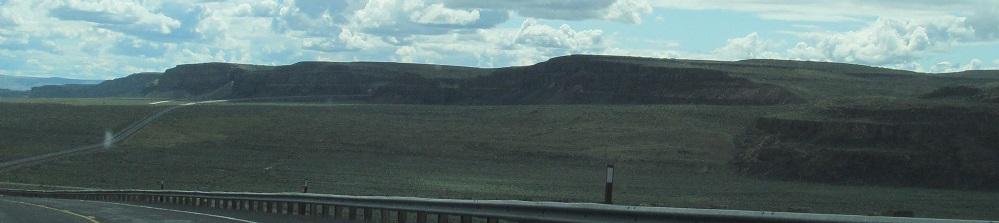
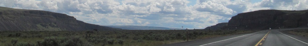
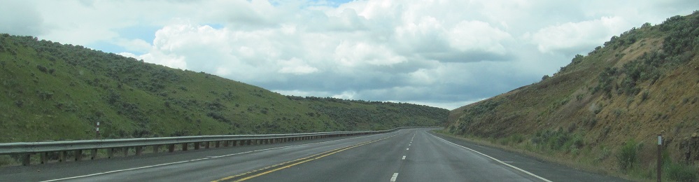
As I exit Moses Coulee into Armour Draw, following a recent realignment of the highway out of the next canyon to the north, I look back north and east at the scenes I just surveyed.
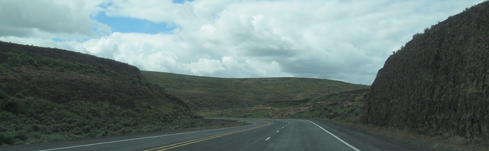
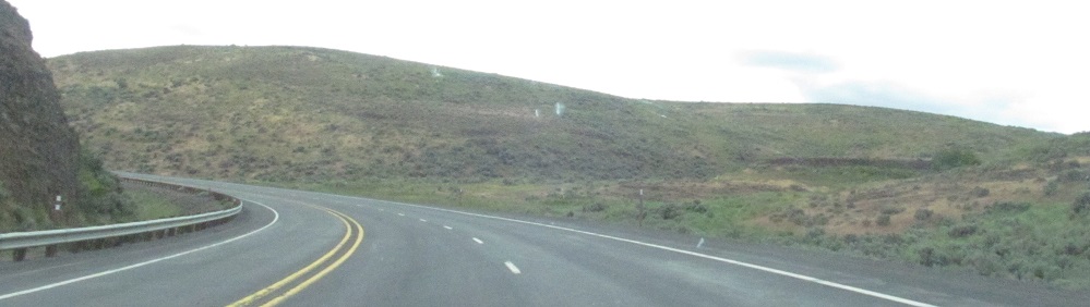
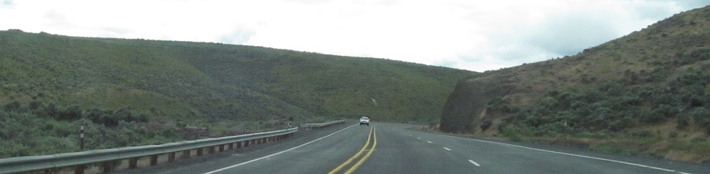
Up Armour Draw to the next set of photos.
Continue west on US Route 2
Back to US Route 2 main page
Into Idaho on US Route 2
Back to Washington Non-Roads
Back to Non-Roads main page