Washington - US Route 2 - Orondo-Moses Coulee
US Route 2, Orondo to Moses Coulee
All photos were taken heading west.
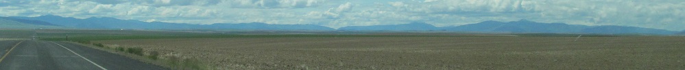
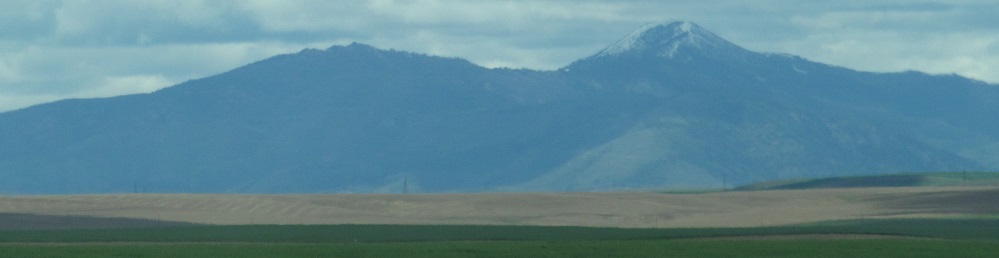
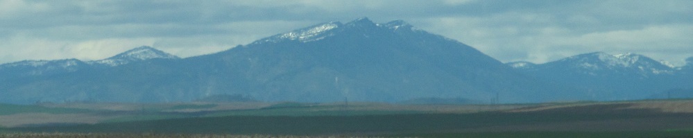
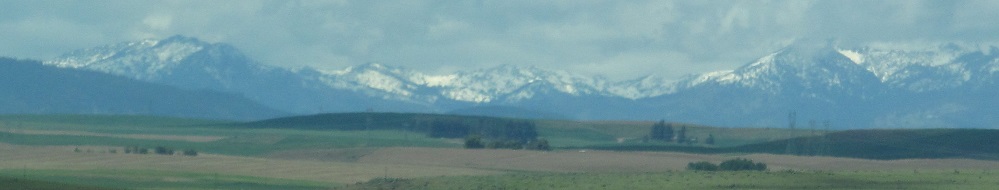
A little clearer than before, here are the Entiat Mountains once more, from a few miles west of Moses Coulee.
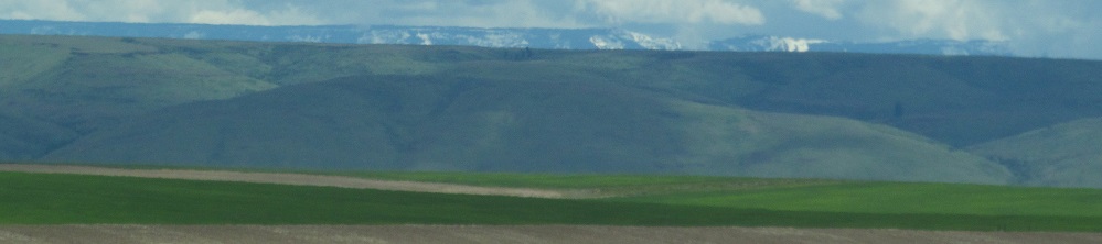
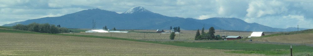
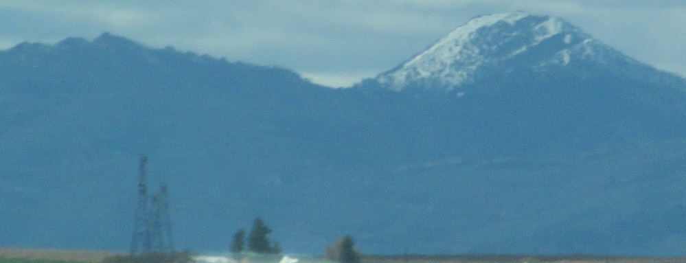
This is the only view I got of Jumpoff Ridge, the snowcaps atop Badger Mountain to the southwest.
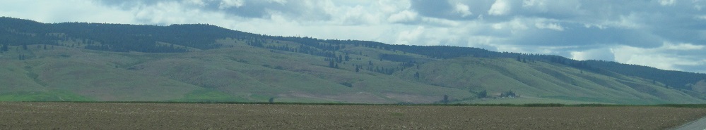
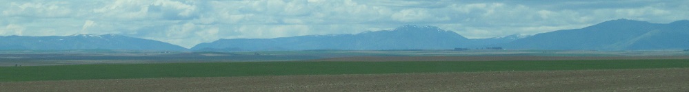
From southwest to northwest: 2 photos of Badger Mountain, including the actual mountainous part, 2 photos of the Chelan Mountains, and 1 of Sawtooth Ridge.
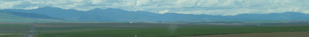
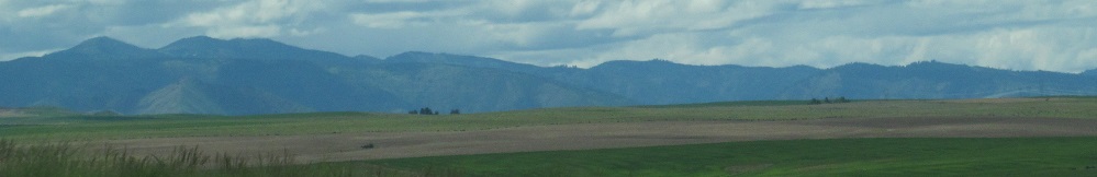
Another panorama, a little more easterly focused, from 3 miles east of Waterville: Entiat Mountains (2 photos), Chelan Mountains (2 photos), Sawtooth Ridge (2 photos).
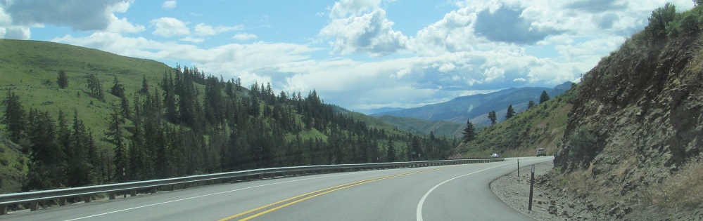
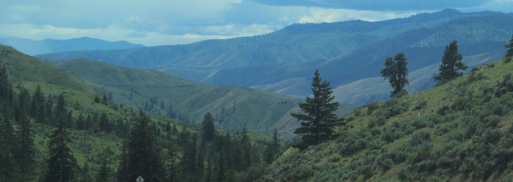
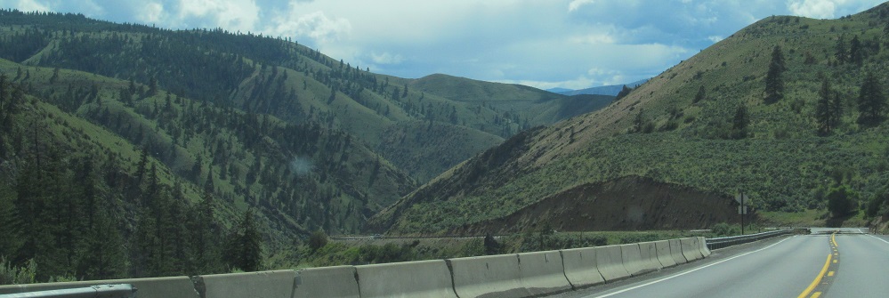
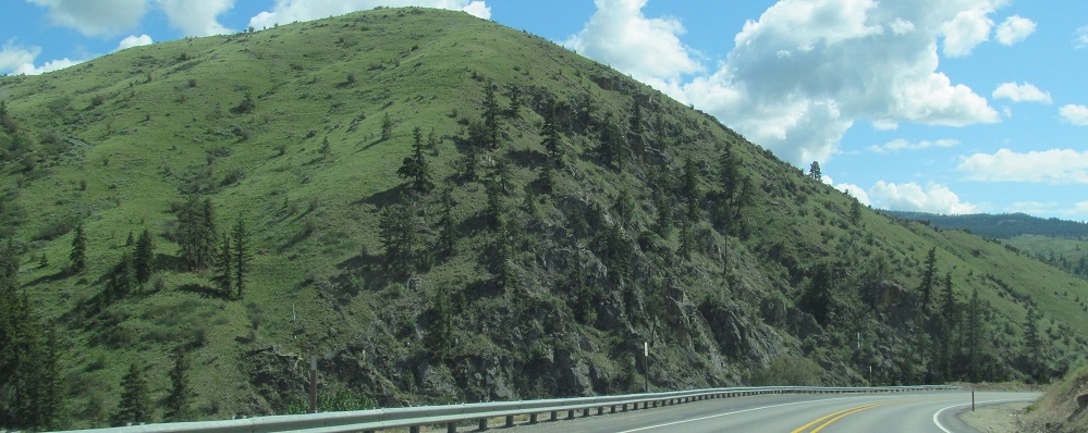
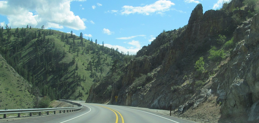
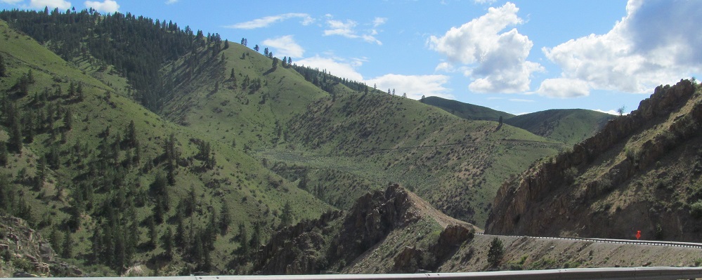
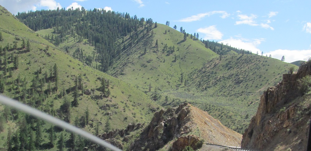
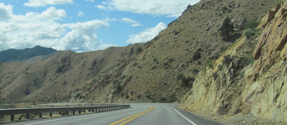
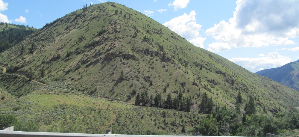
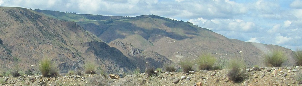
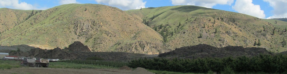
A tour through Pine Canyon, starting off with views of the Entiat Mountains behind, but losing them as I sink into the canyon walls.
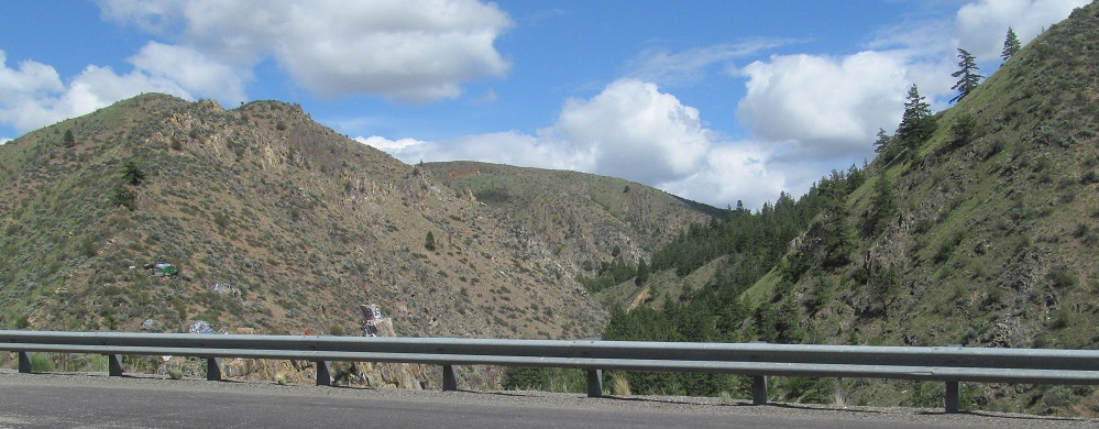
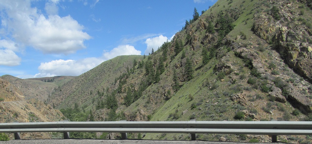
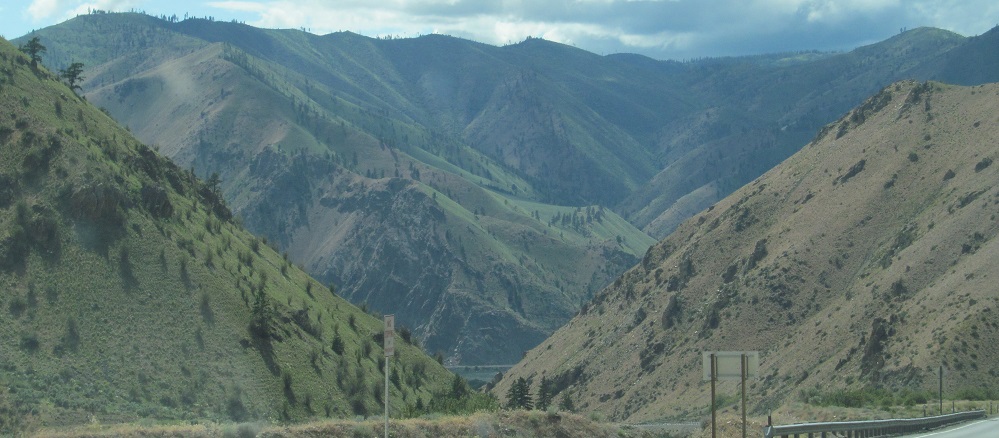
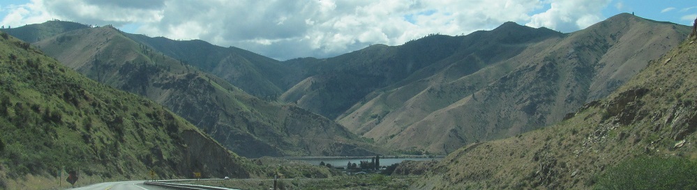
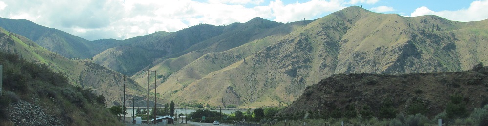
Pine Canyon ends as it merges into Corbaley Canyon, seen here to the east at that point.
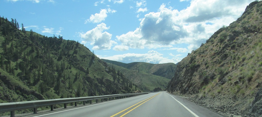
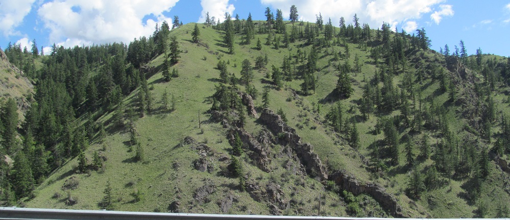
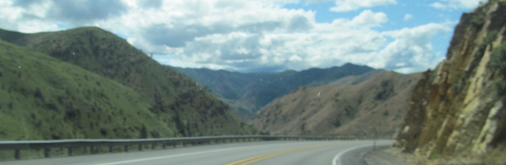
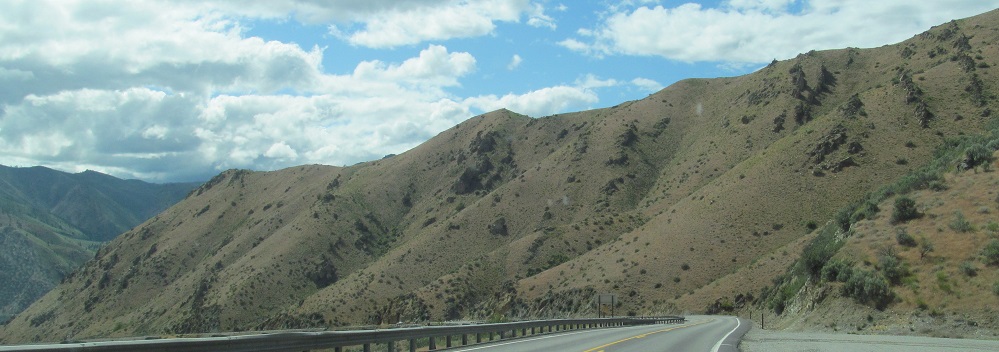
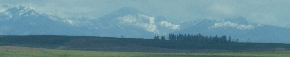
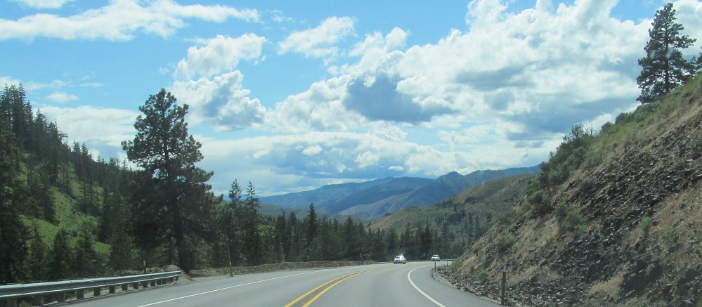
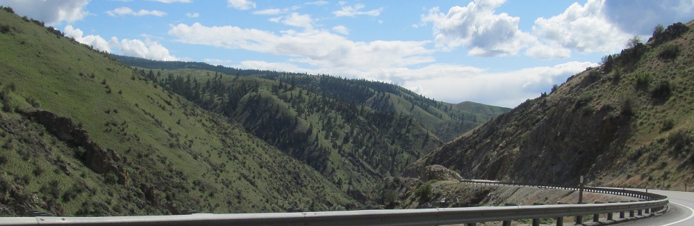
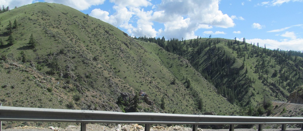
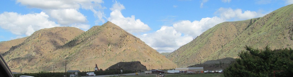
My photo run continues through Corbaley Canyon, with the Entiat Mountains reemerging as I come to its mouth. If in doubt, photos to my side face south.
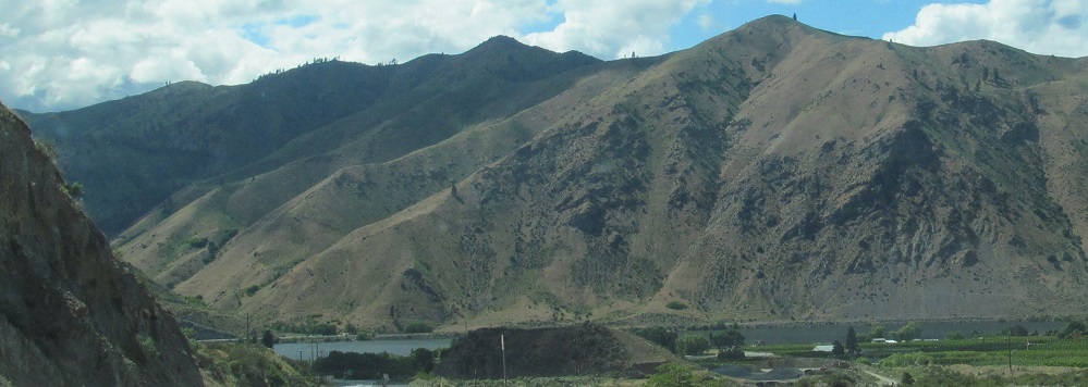
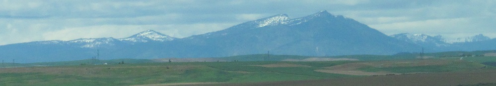
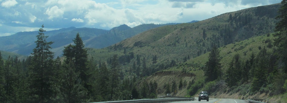
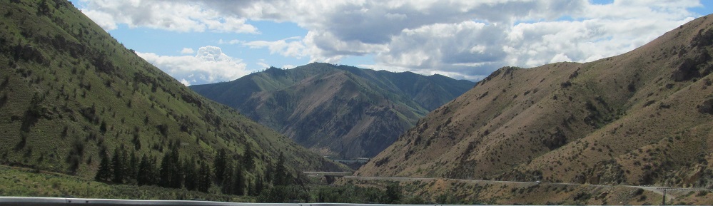
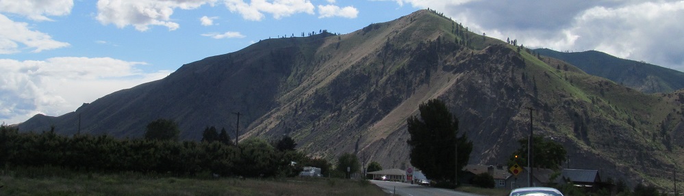
The Entiats, first in whole, then panning from south to north.
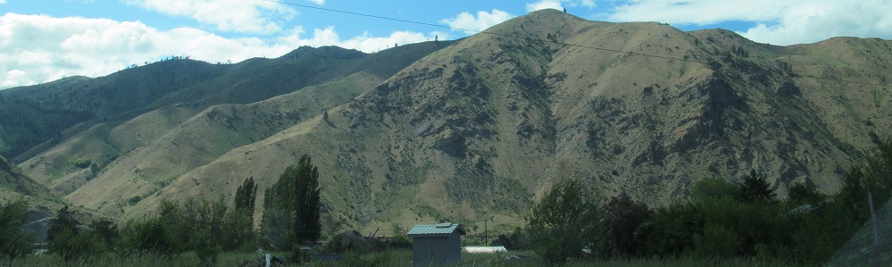
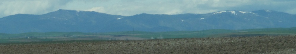
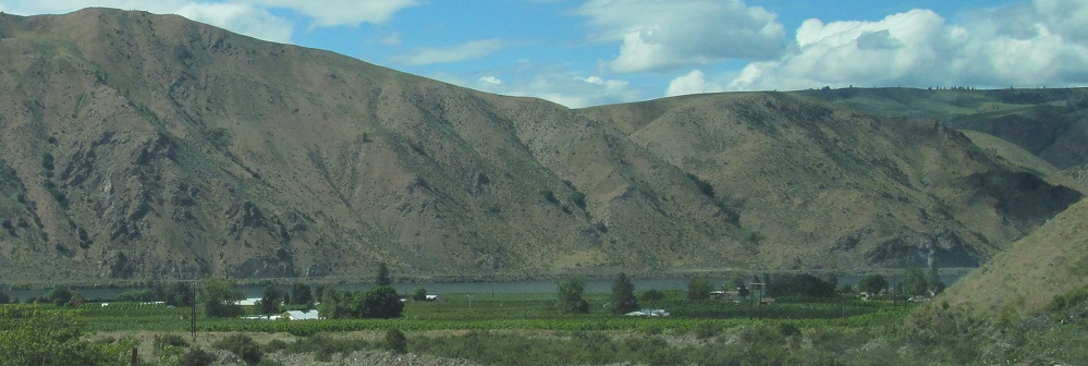
More views of the Entiat Mountains as US Route 2 bends south into US Route 97.
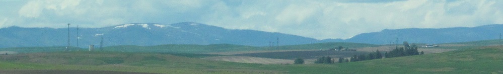
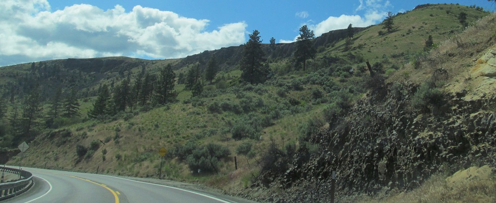
Bonus views: Badger Mountain to my left (southeast), Waterville Plateau behind me (northeast) featuring the mouth of Corbaley Canyon.
Waterville
Continue west onto US Route 97 and Routes 2/97
Back east on US Route 2
Back to US Route 2 main page
Back to Washington Non-Roads
Back to Non-Roads main page