Washington - Spokane - River
Spokane along the Spokane River
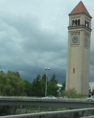
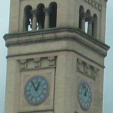
This is the Great Northern Clock Tower, all that remains of the GN rail depot that was constructed in 1902. This guy has been preserved and maintained, but not upgraded - the clock must still be manually wound every week. It's just northwest of Washington Avenue's Spokane River crossing.
Here's the view south from Havermale Island, which hasn't been an island for many decades.
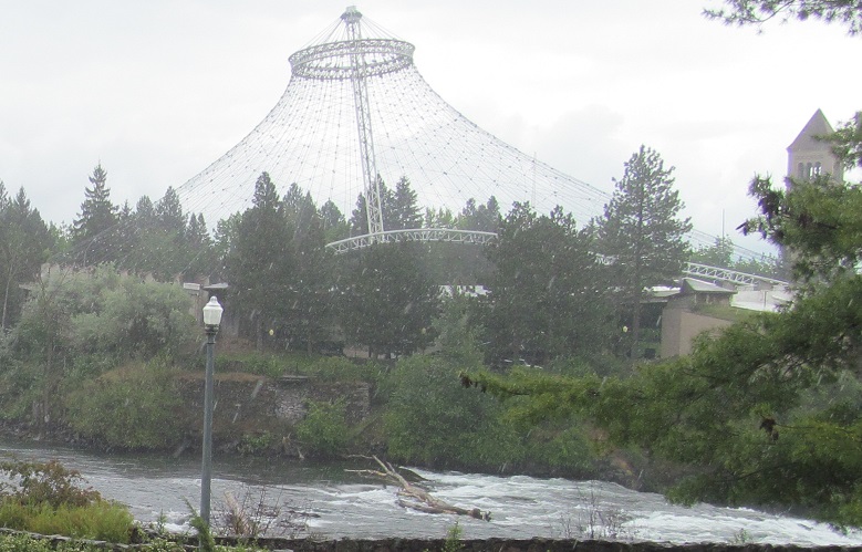
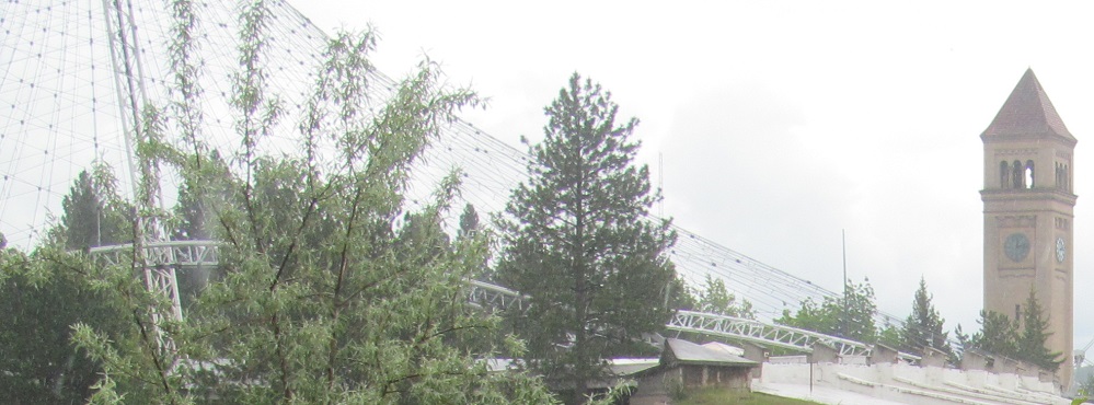
Havermale Island is best known as the center of Expo '74, the International Exposition on the Environment, which also counts as an incarnation of the World's Fair. These photos look southeast from the eastern (Howard Street) Canada Island bridge to Havermale Island.
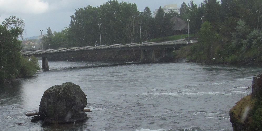
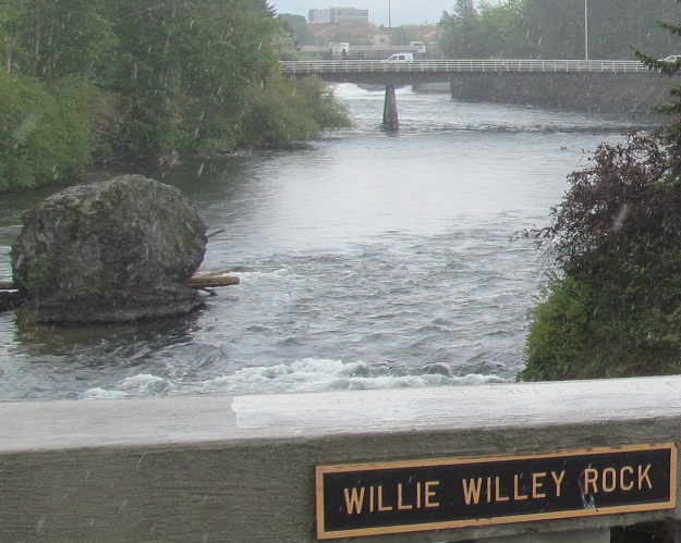
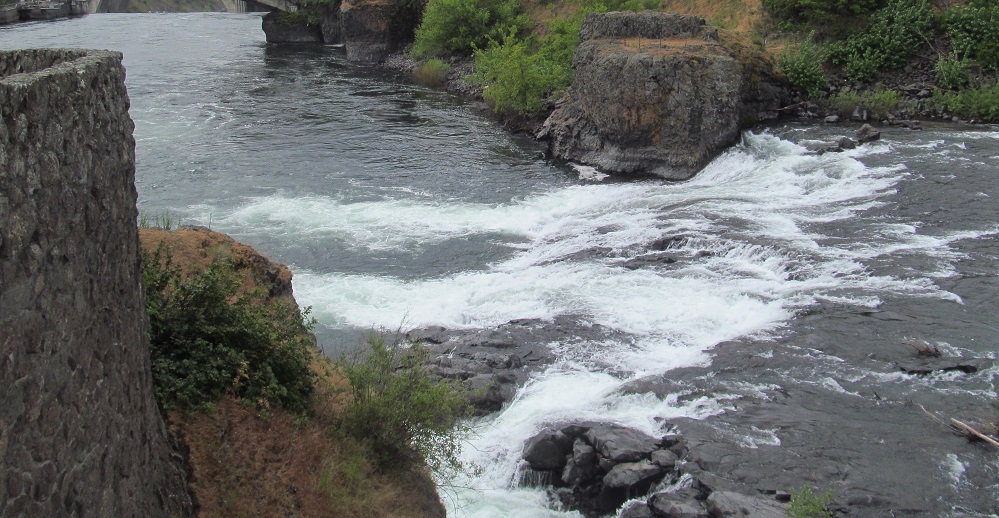
While I'm at Howard Street, let's take a look east from the northern bridge across the northern Spokane River channel. Havermale Island separates the river into two channels, and then Canada Island lies in the middle of the northern one. The big lump on the left is Willie Willey Rock, named after a local icon of a man who refused to wear a shirt and was an all-around hippie in the 1950s-70s. The last photo is a closeup of the outlet from the north channel's dam, designed to let a minimum of water through, just enough to wet the rocks and rapids of the north and central river channels. The water that stays in the south channel is used to generate power, as you will soon see.
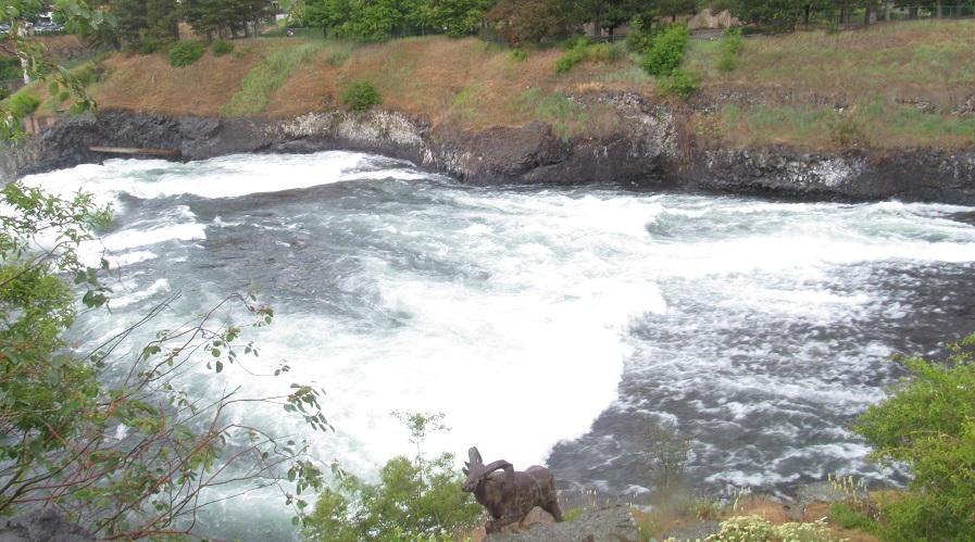
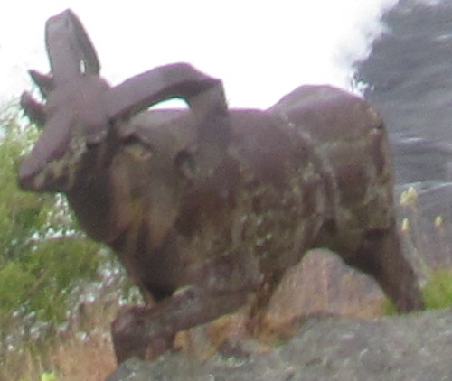
From the Havermale Island side of Howard Street, these photos look back across the center Spokane River channel at Canada Island and this goat statue. I have no idea why this statue is here, but as strange as it seems to commission a random goat sculpture along the river, there's an even stranger goat statue to be found, one that actually eats garbage. That one, which I never saw, played a recorded voice when it sensed a visitor approaching to request that person's garbage. The goat would then suck the garbage into its mouth. The strangest part is that this worked for any length of time during the World's Fair.
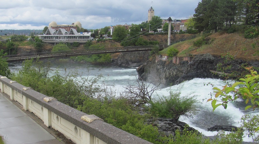
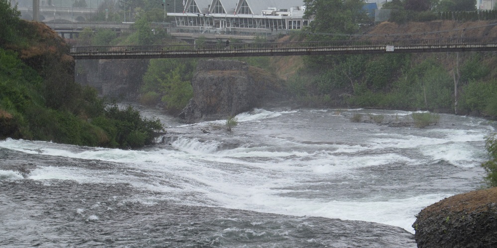
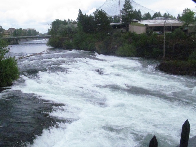
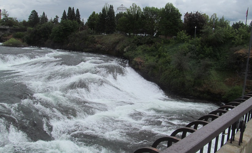
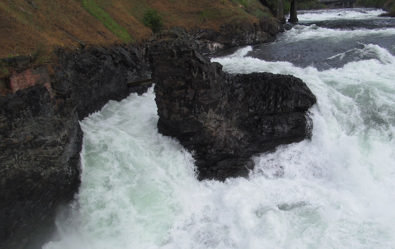
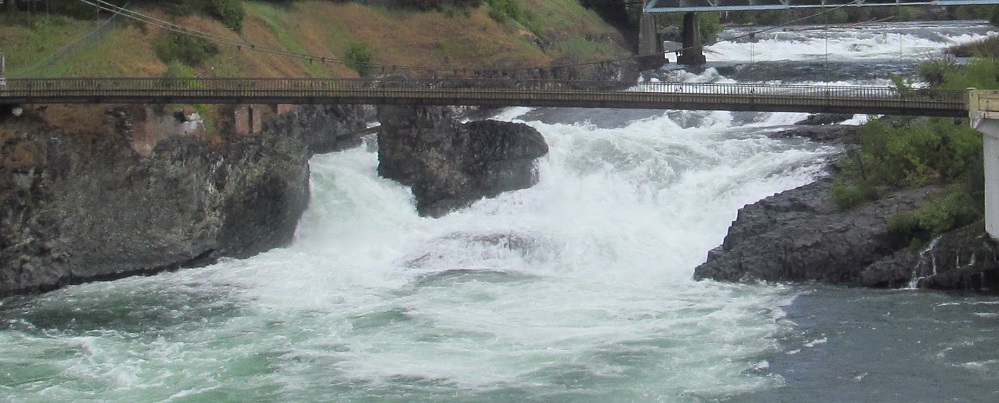
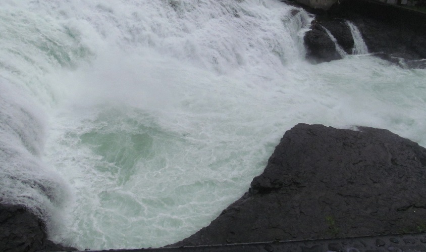
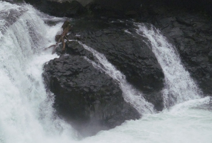
Views west from Howard Street, from the northern channel and central channel respectively, as the two come together and proceed over Upper Falls. Actually, each channel has its own Upper Falls as they come back together, before meeting back up with the southern channel (power station outflow) to hit Lower Falls. The Spokane County Court House is in the top/back right of the 1st photo, and you can see plenty more on the Buildings page linked at bottom.
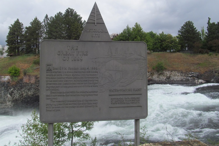
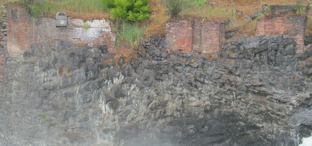
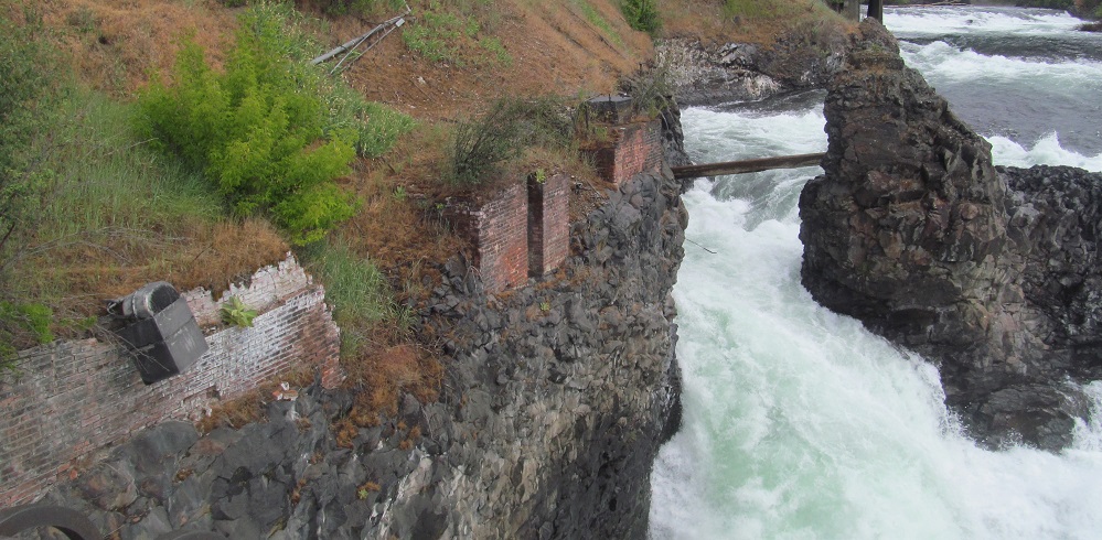
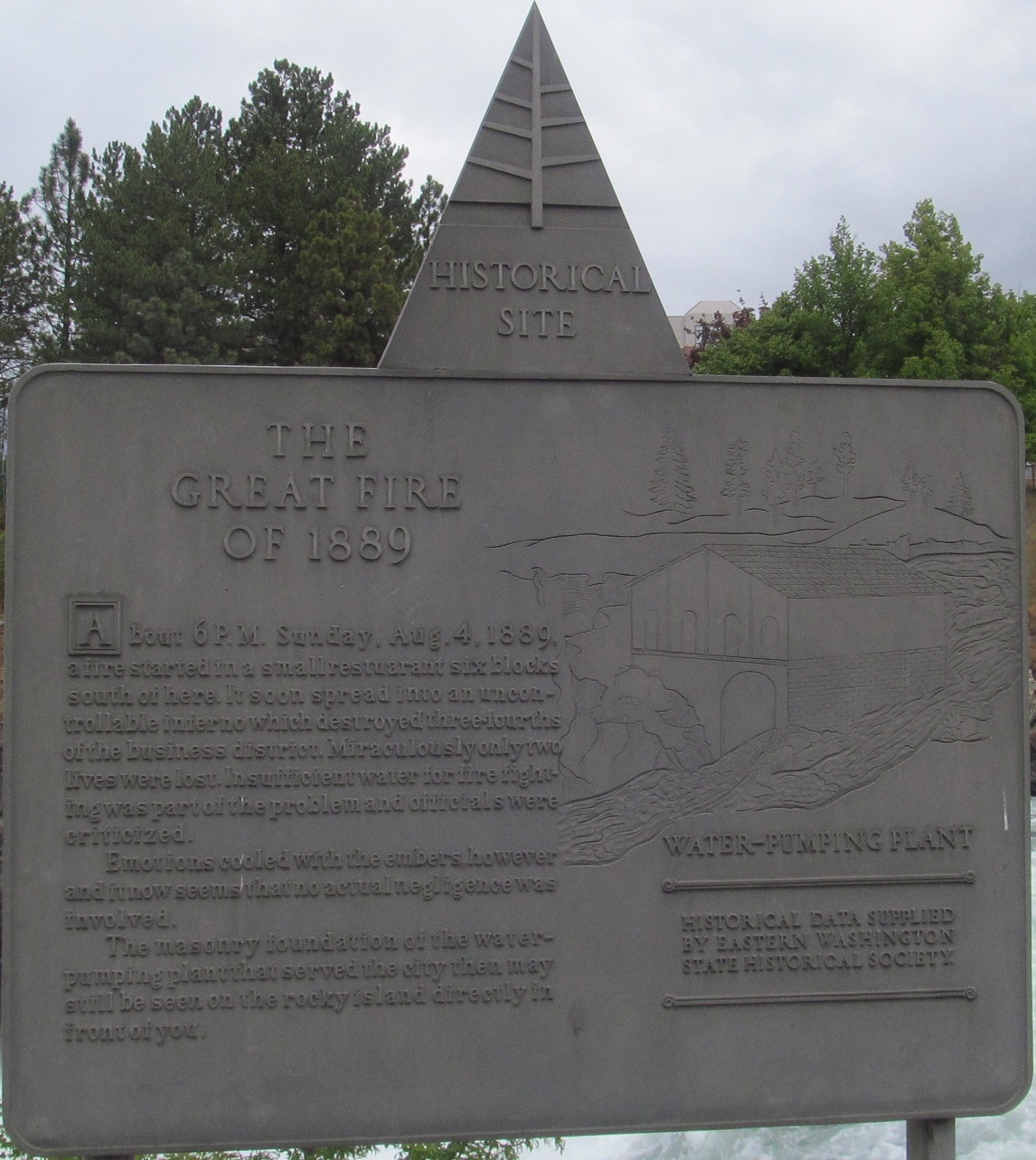
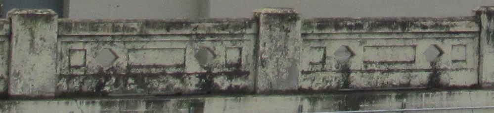
You may have noticed these ruins in the background of the previous photo. Read all about them by clicking on the first photo for a closeup. The old powerplant on Canada Island (then called Crystal Island) was replaced but its replacement was soon outclassed, left in place abandoned for nearly 80 years, and finally removed for Expo '74.
Heading over to the pedestrian bridge at the west end of forested Canada Island, here are views southeast from the north side and northeast from the south side of the north channel bridge.
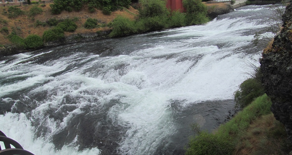
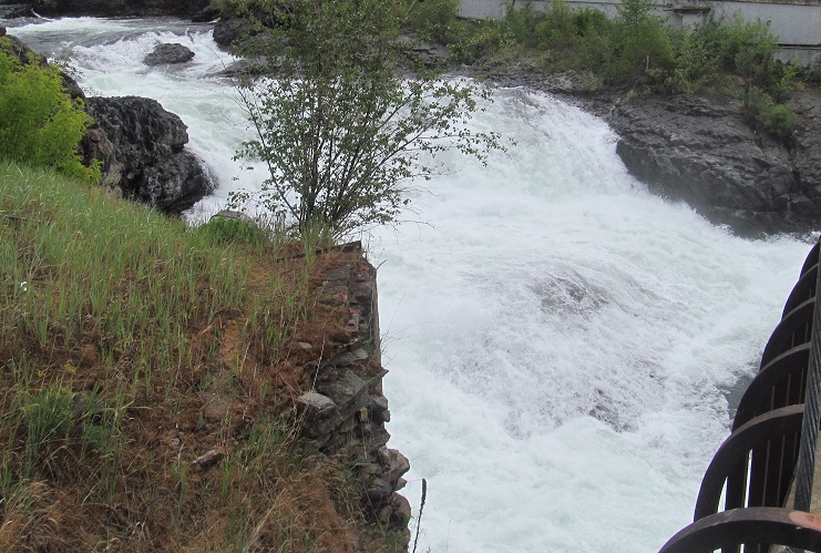
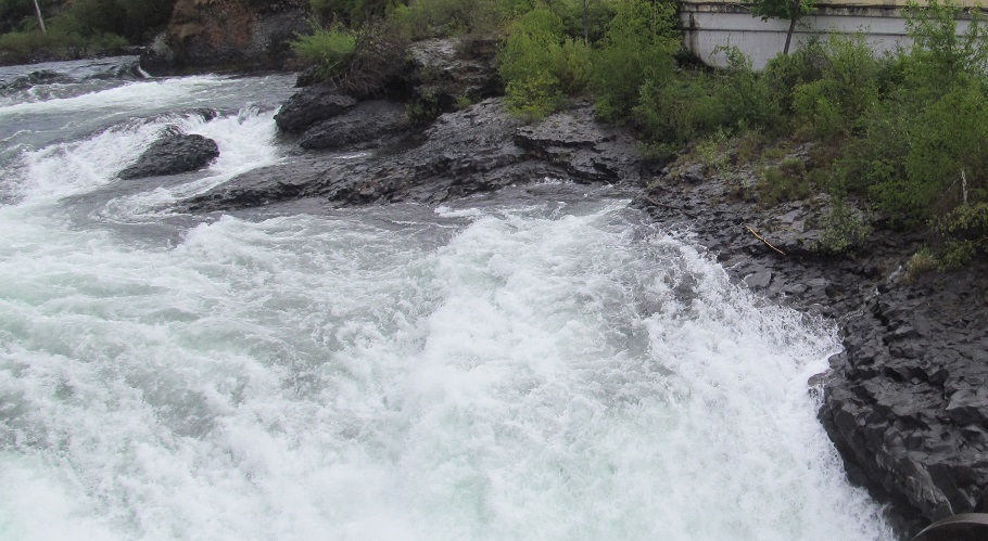
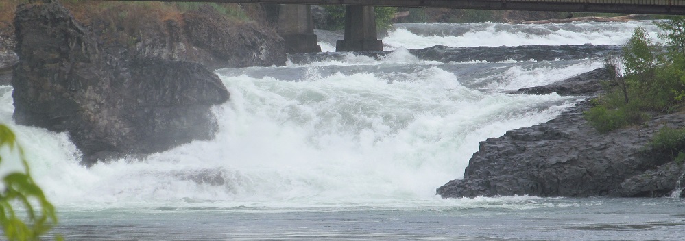
Panning west from my spot on the south side of the bridge across Upper Falls, with Lower Falls in the top left corner of the last photo after all the channels come back together. The bridge itself features on my Roads page.
Walking south to the pedestrian bridge over the central channel, these photos look southeast from the Canada Island side and northwest from the Havermale Island side.
Meanwhile, these photos look east from the middle of the bridge.
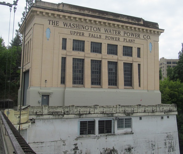
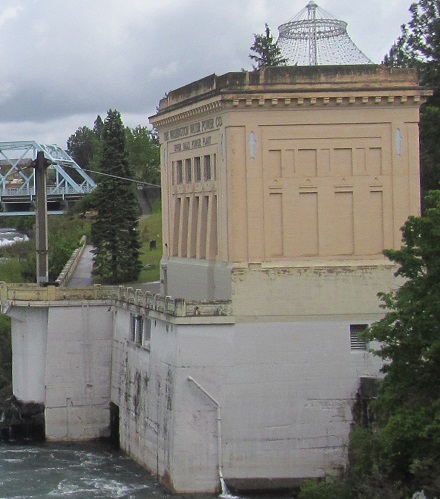
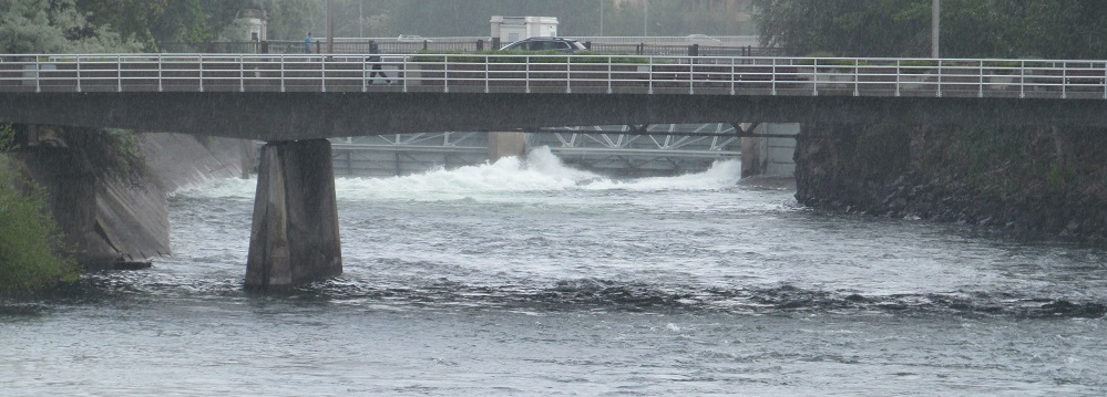
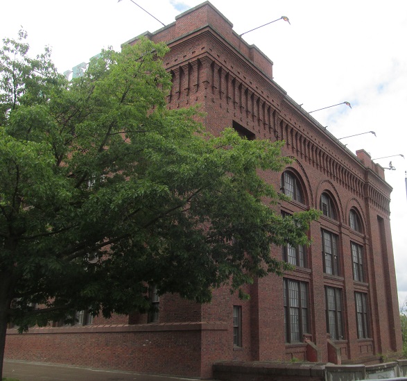
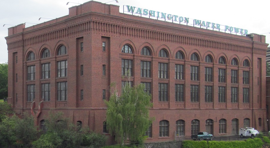
The south end of this bridge is adjacent to the power plant that is linked to the river's south channel, as I narrated above. (Hopefully you're not just looking at the photos.) The last three photos look west from the Havermale Island path, east from the downriver Post Street Bridge, and north from the Havermale Island path that leads from Post Street.
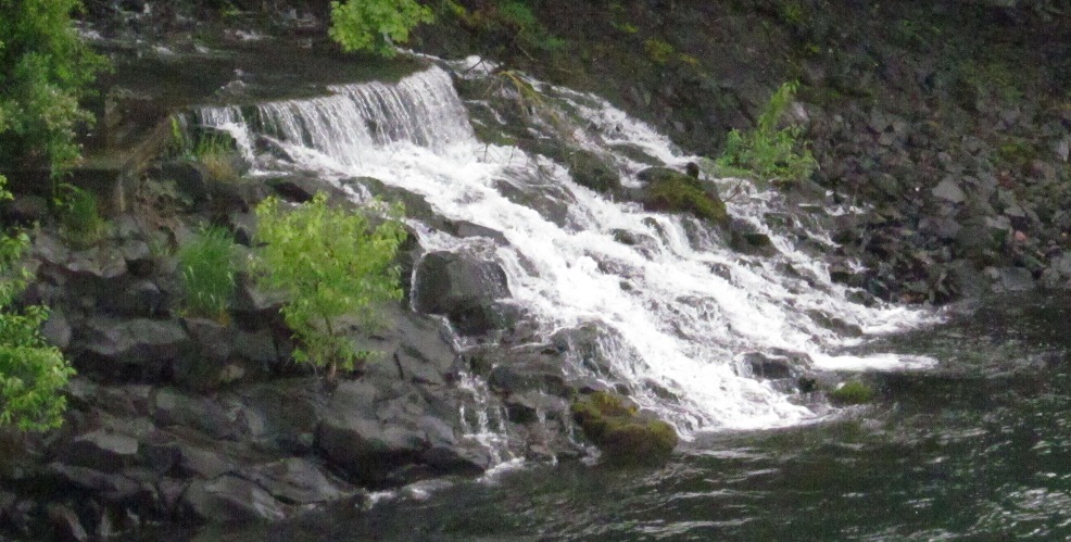
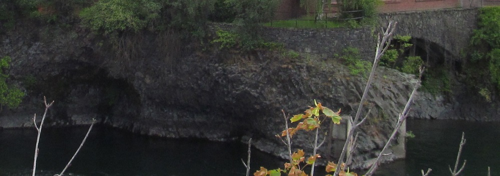
This little waterfall drains the Spokane River south channel's diversion channel west of the power plant.
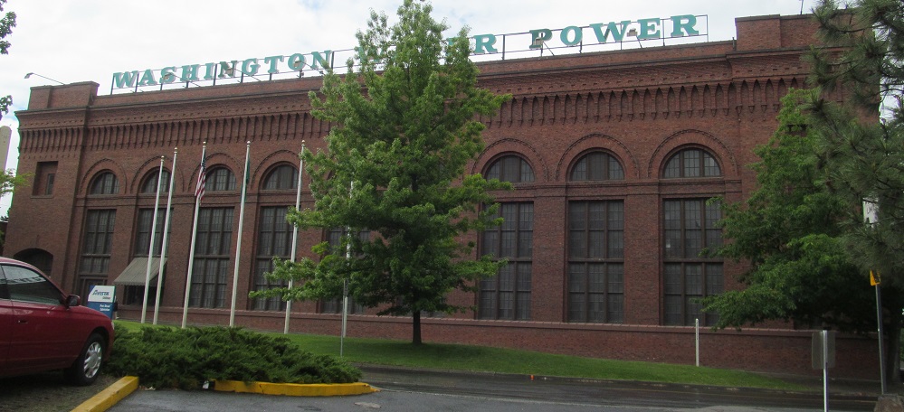
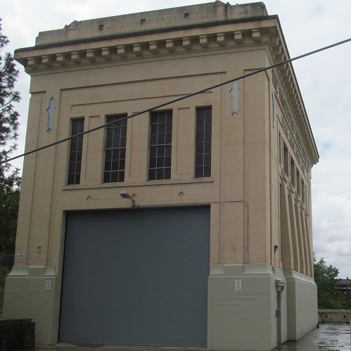
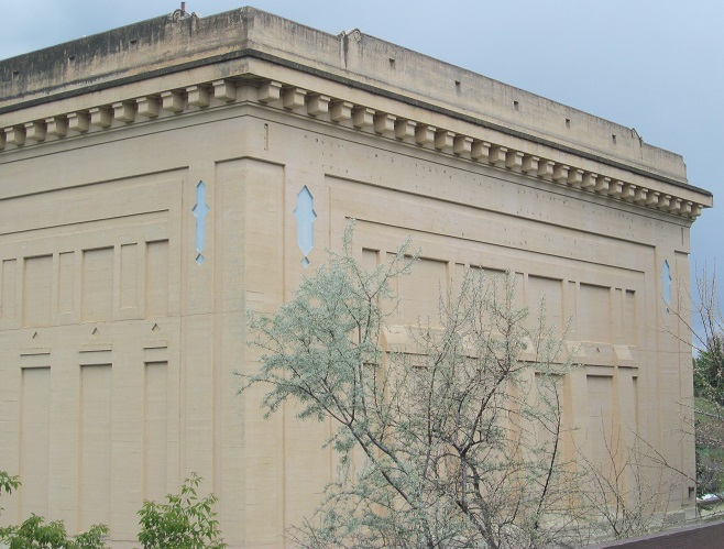
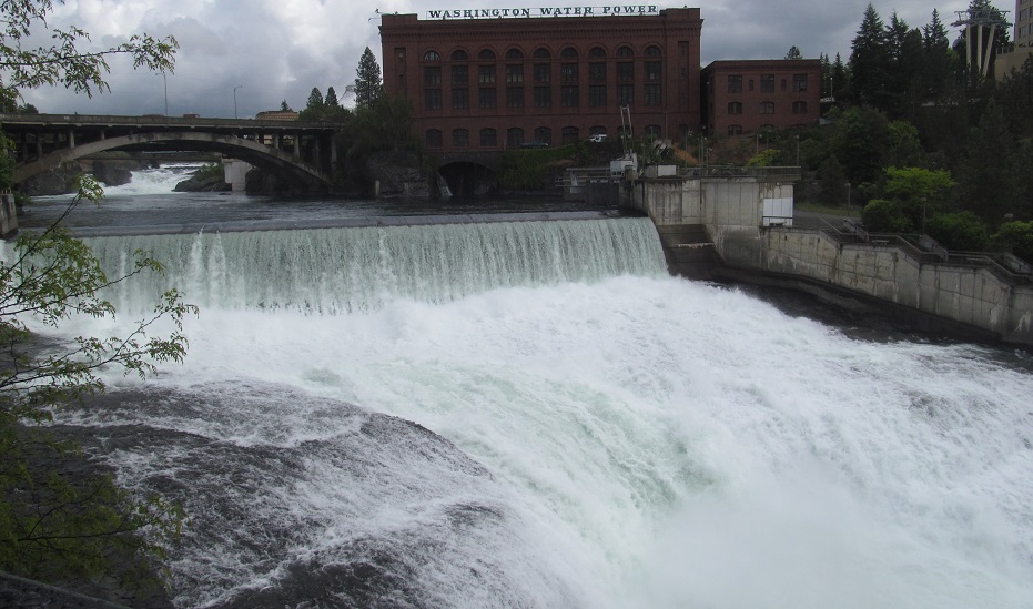
Just west of the power plant, this is the 1910 Post Street Electric Substation. I gather that the electricity generated by the water passing through the two power plants by the south channel and by Lower Falls is transmitted here as DC (given such a short distance on either side) to be converted to AC and distributed into the power grid. These are the Post Street (east side) views.
Here's another view, top and bottom looking east from Monroe Street. The tunnel at the bottom trickles from some source I can't identify; the main body of the south channel should be exiting the power plant.
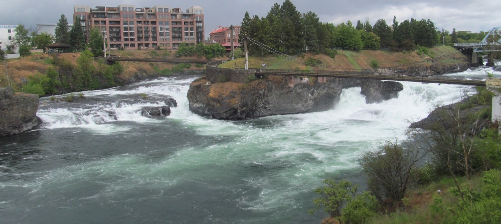
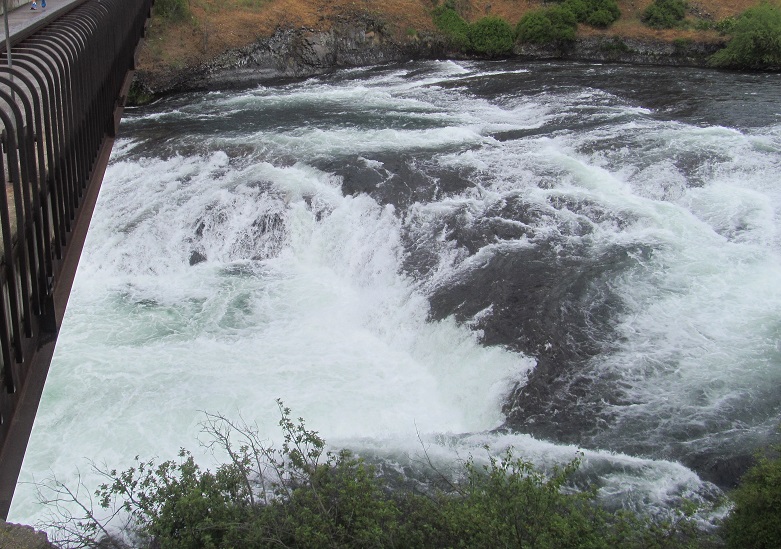
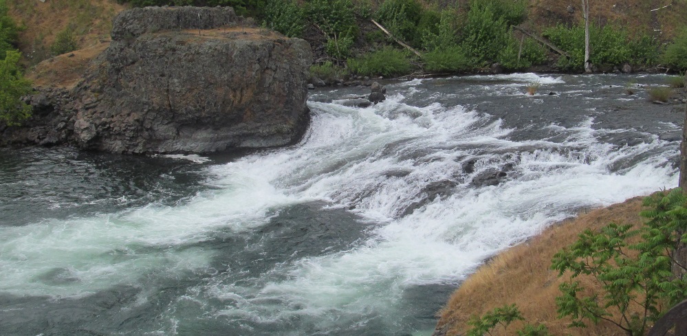
I return you to your regularly scheduled river. These are the entirety of Lower Falls and Canada Island, seen from the Post Street Bridge.
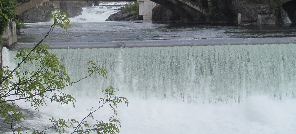
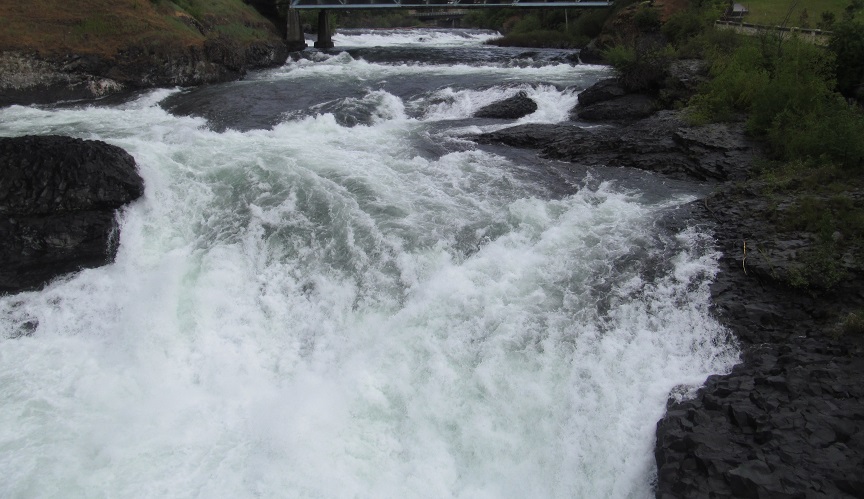
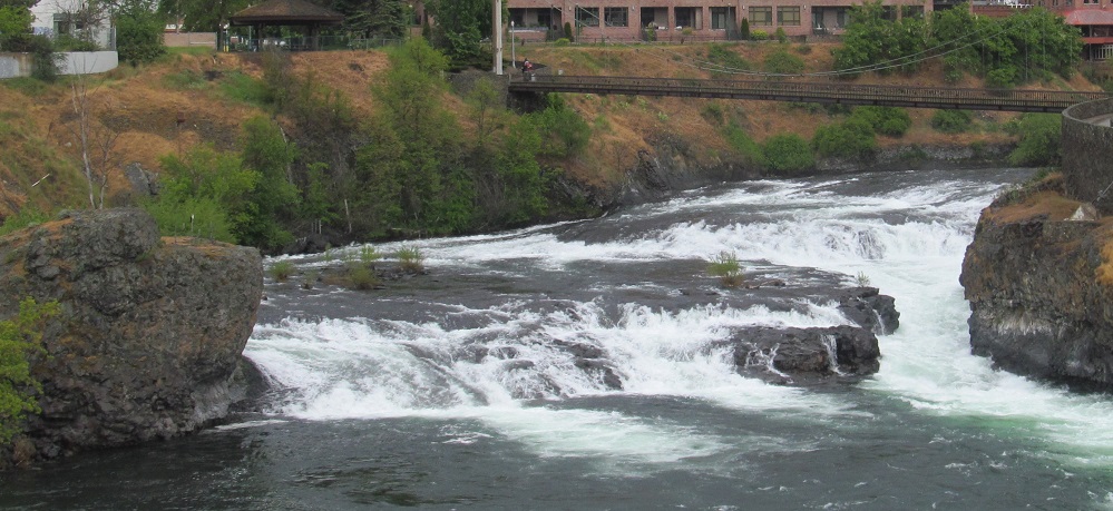
Monroe Street offers a view of the Lower Falls, looking east up the central Spokane River channel to the south half of Upper Falls.
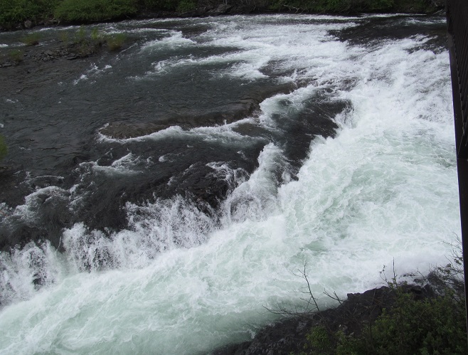
Looking south across Lower Falls and the mini-falls therein.
See more of Spokane's buildings
Back to the Spokane main page
Back to Washington Non-Roads
Back to Non-Roads main page