Washington - I-82
Interstate 82
All photos were taken heading northwest except for the next four.


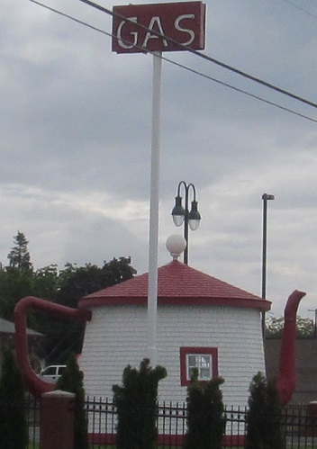
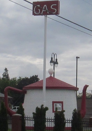
The first pair of left-right photos is heading east from the Interstate 182 junction west of the Tri-Cities and the second pair is past the US Route 395 junction to the south. Both face the eastern extents of Horse Heaven Hills.


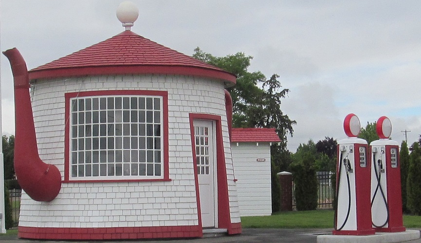

Plenty of Horse Heaven Hills heading west from Interstate 182, since I-82 follows their north side until Prosser. The tall part of the hills (2nd photo, for example) is Chandler Butte. Photos 2-4 pan from left to right and the next one looks back southeast.


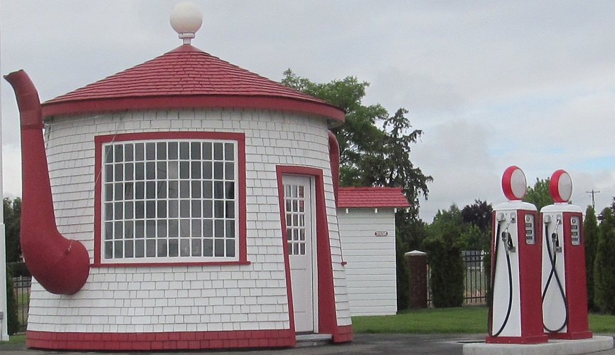
Scenery on the north side of the road: Sagebrush Ridge to the west and the "Badlands" (3 photos) due north beyond Yakima River.


More Horse Heaven to the left, with the last two photos a left-right pair. The hills in the distance (2nd photo) are still Horse Heaven Hills. There are a lot of horses in heaven.
An opportune bend in the Yakima River just to my right.


Past Prosser, over the Yakima River, and bidding goodbye to Horse Heaven Hills, which continue west as Interstate 82 starts to head north.


Looking west at Snipes Mountain (2 photos), which is west of Sunnyside, which is west of the highway, then looking northeast at Elephant Mountain among the Rattlesnake Hills past Zillah.
Up to Ahtanum Ridge, which I-82 crosses through Union Gap.


Here is said Union Gap, which allows the Yakima River to visit its namesake city. Interstate 82, US Route 97, and some railroad tracks bracket the Yakima River through the narrow notch.



Yakima Ridge, panning from left to right after the first photo. Ahtanum and Yakima Ridges bracket the short valley in which Yakima sits to the south and north, respectively.
Looking east along Selah Creek (north of Yakima Ridge) and then looking northwest at Selah Butte.



Photos to the north and east, featuring Umtanum Ridge in the last two (left/right pair, and the first 3 pan north to southeast).


Just like that, we're across Umtanum Ridge and facing the next one, Manastash Ridge.

Westward photos: Squaw Creek, and 2 of the western reaches of Umtanum Ridge (which bends slightly north).


Manastash ahead (2 photos, left and right) and Umtanum back and to the left (3 photos, left to right) across the Yakima River.



Different views of Umtanum Ridge (first 2 photos, south and west) and Manastash Ridge (2 photos ascending, last 2 are a left/right pair descending).
To the right of Manastash Ridge, I can see clear across Kittitas Valley, and then I start driving there. The windmill photos are a left/right pair, the 4th photo features Table Mountain, and the last photo is right of Table Mountain.


Looking south (left/right) as Interstate 82 ends and merges into Interstate 90 westbound.
Continue onto Interstate 90
Interstate 82 roads photos
Back to Washington Non-Roads
Back to Non-Roads main page


