Tasmania - National Hwy. 1 - N. of Campbell Town
National Highway 1 north of Campbell Town
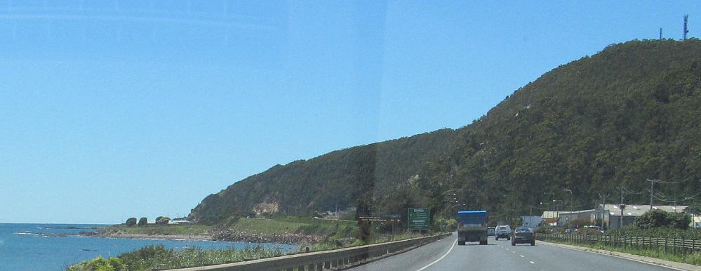
All photos were taken heading south.
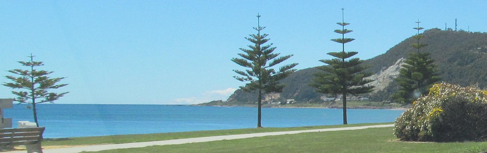
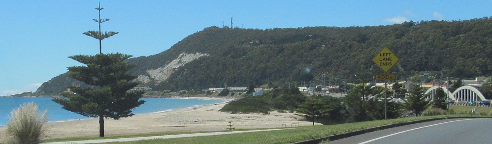
Starting at Emu Bay in South Burnie.
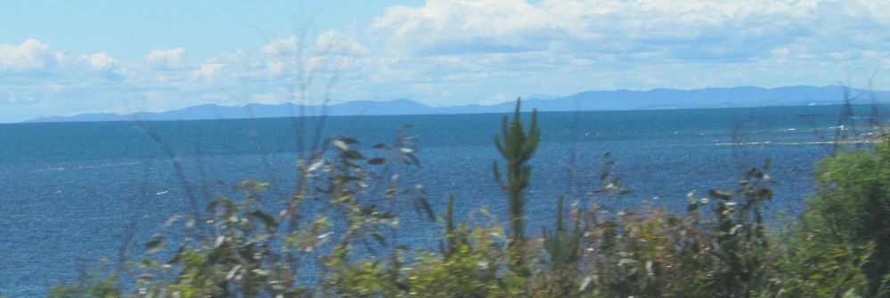
60 kilometres away, I can see Point Vision and Flower Hill in Briggs Regional Reserve.
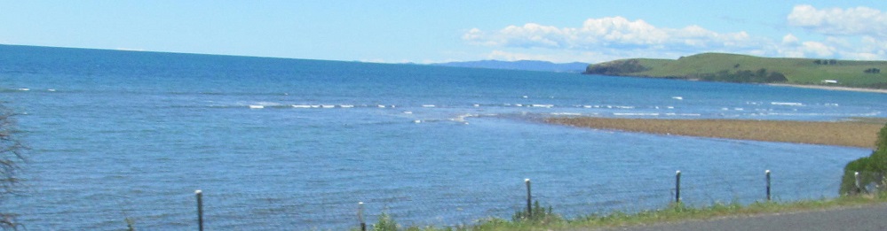
The coastline of Leith.
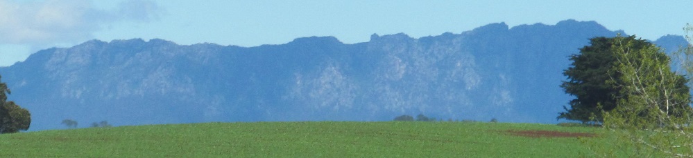
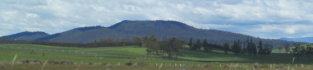
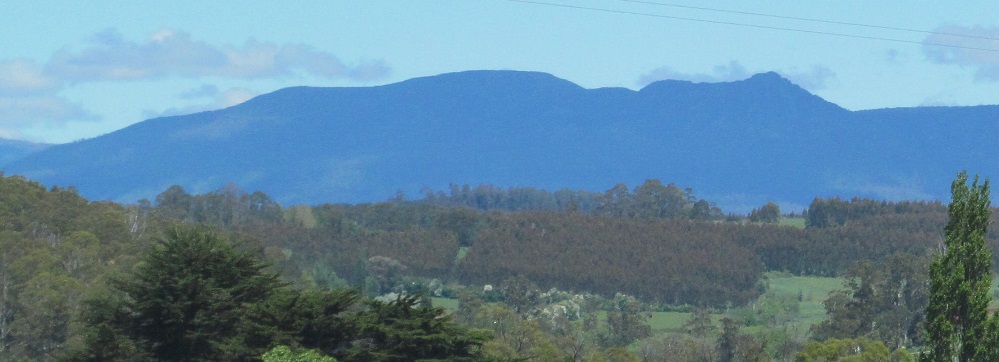
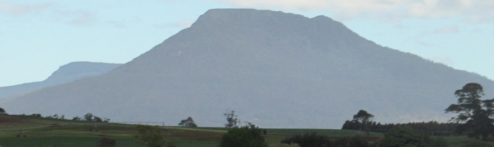
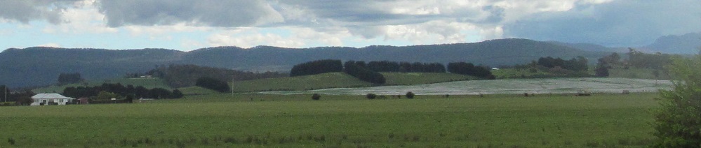
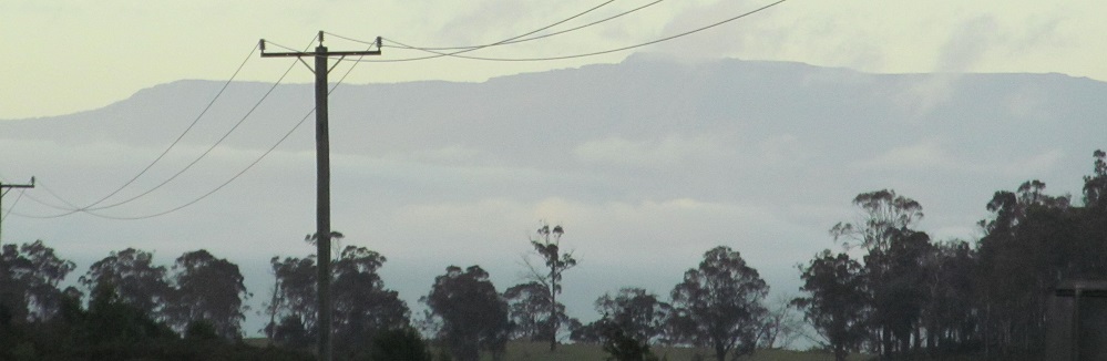
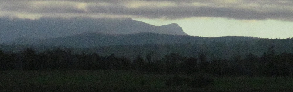
Looking south, this is my first view of Mount Roland and the Gog Range that heads east from there.
Looking east from Sassafras, here we have Roaring Magg Hill and Mt. Careless, the southern extent of the range that ends in Briggs Regional Reserve.
Once more looking south, Long Hill is close and the Gog Range is far. The last photo is a different angle of Mt. Roland.
Starting at Stephens Hill in the southwest, and panning right to various pieces of the Gog Range.
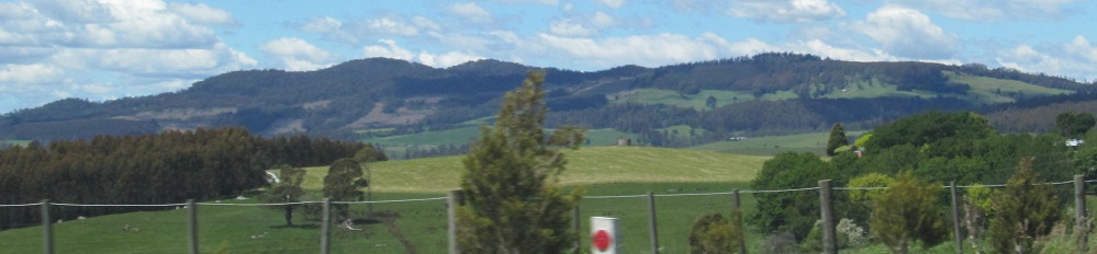
To the left, Christmas Hills. To the right, Gog.
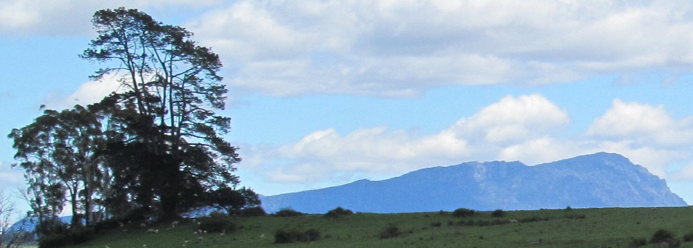
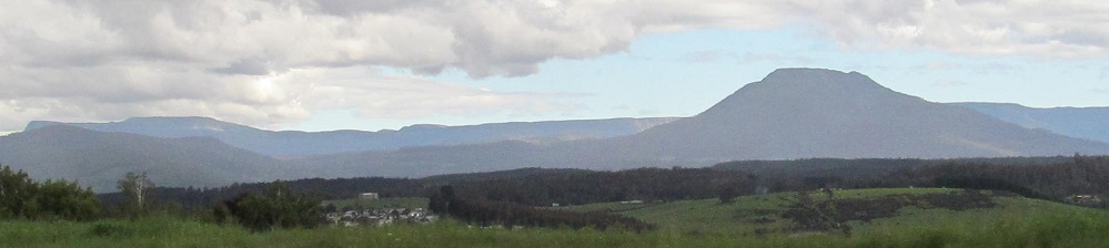
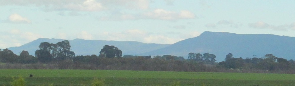
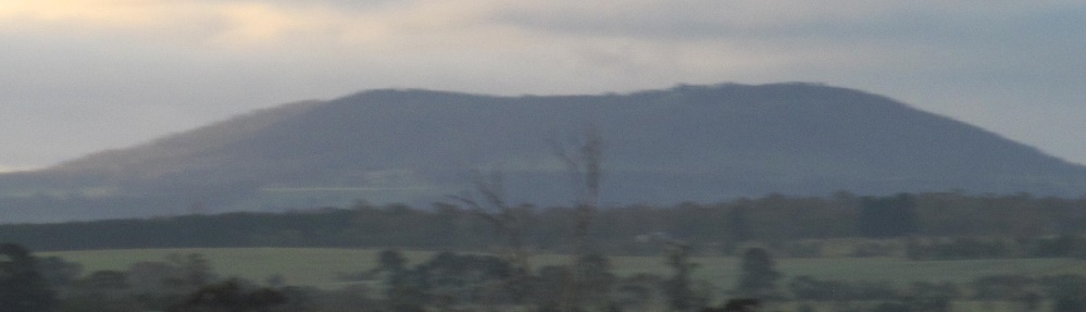
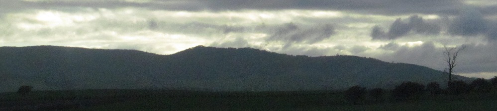
To the south, Mother Cummings Peak. To the west, say goodbye to the Gog Range. I have no evidence of who Mother Cummings was.
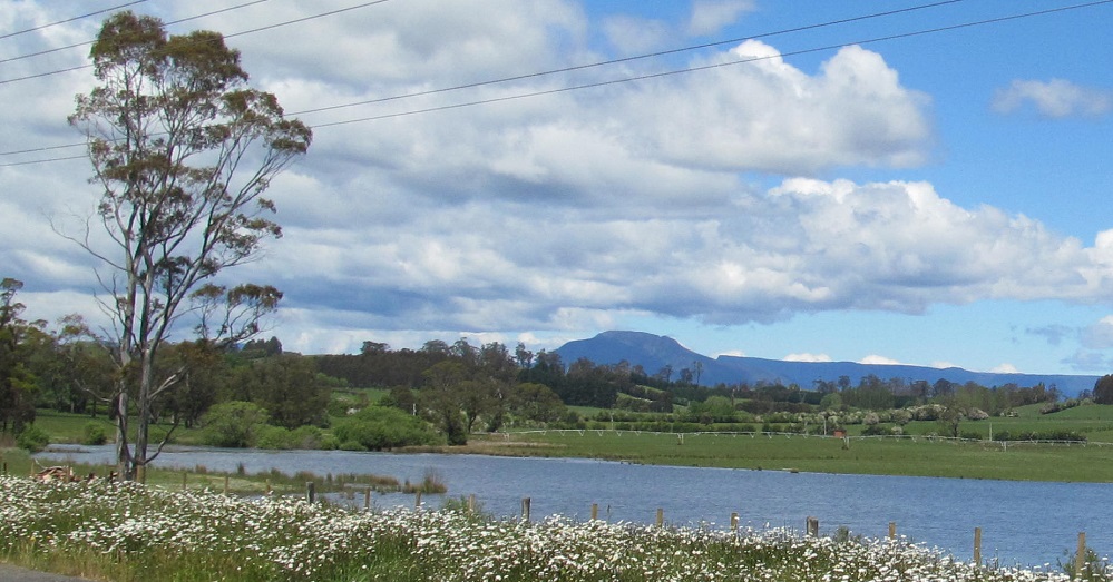
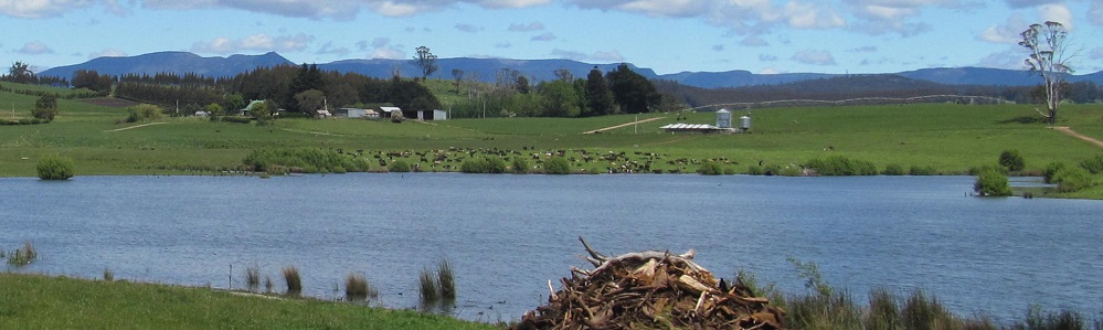
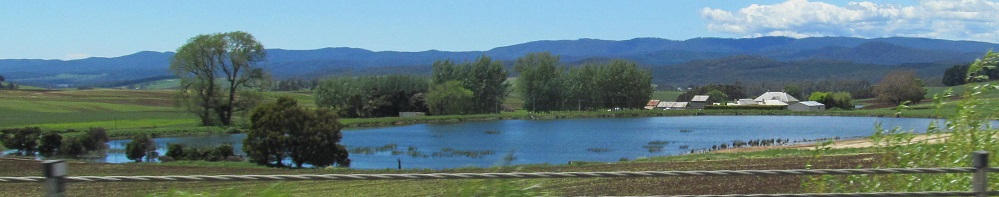
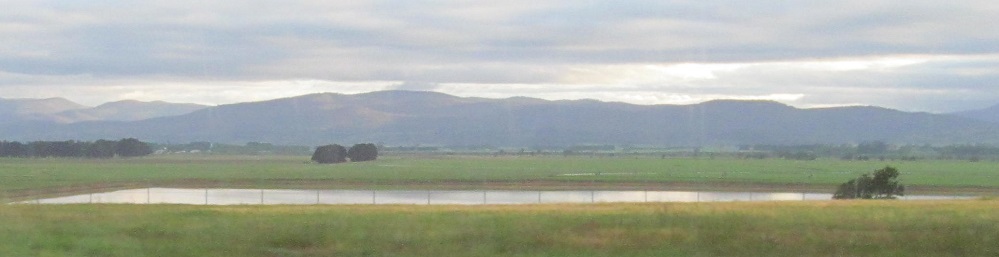
Taking advantage of an impoundment of the Rubicon River, I'm looking south at Quamby Bluff and southwest at Mother Cummings Peak and Nells Bluff.
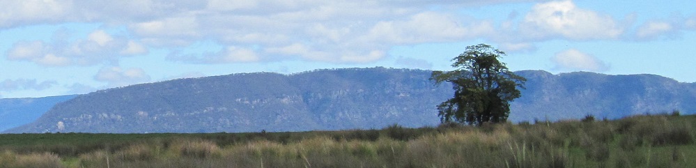
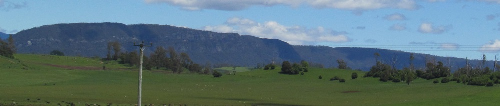
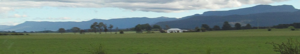
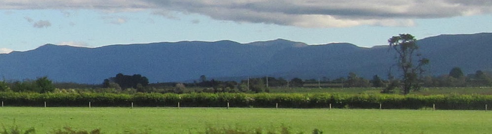
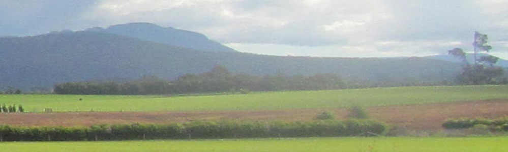
Drys Bluff to the left, Quamby Bluff to the right.
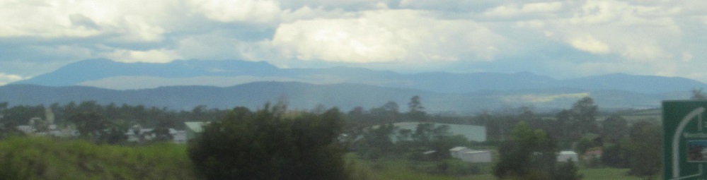
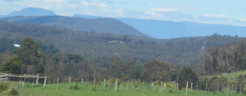
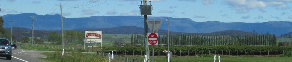
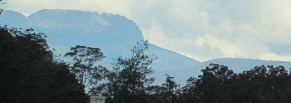
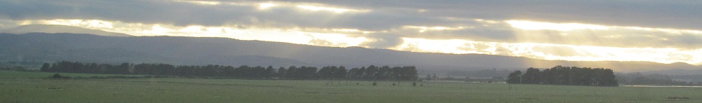
There are various names for all of the hills southeast of Launceston. The 2nd photo shows the Tressick Hills in the foreground, with Mt. Barrow cloud-wrapped behind them.
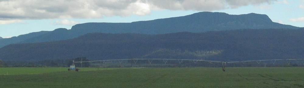
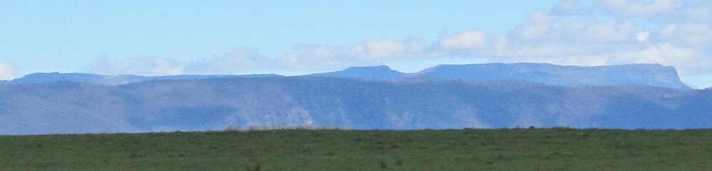
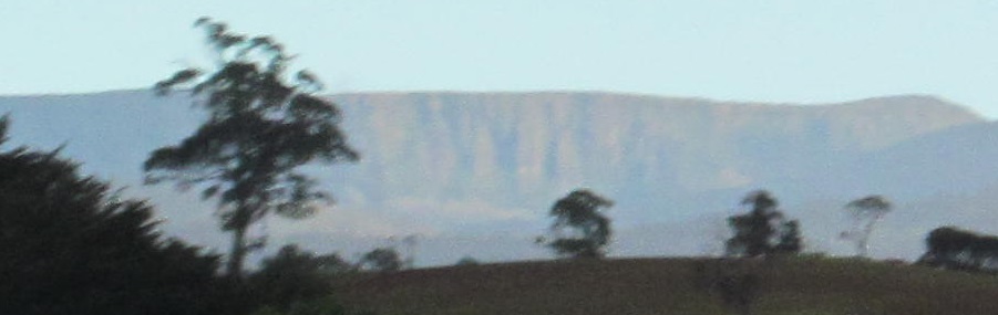
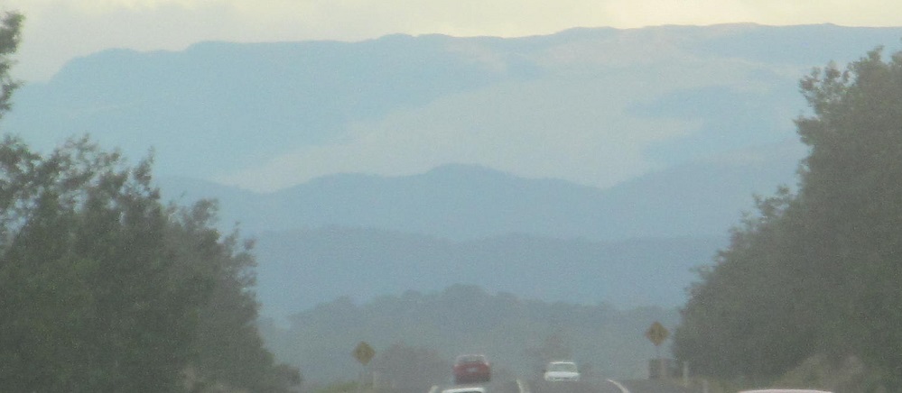
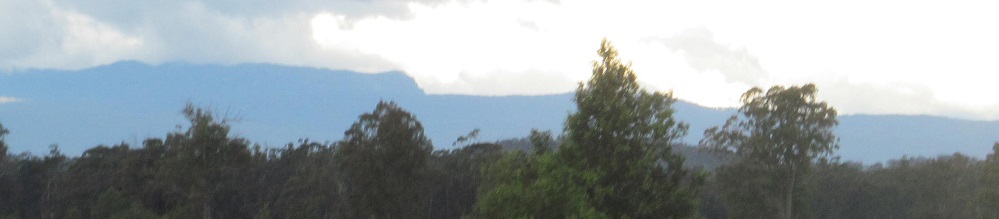
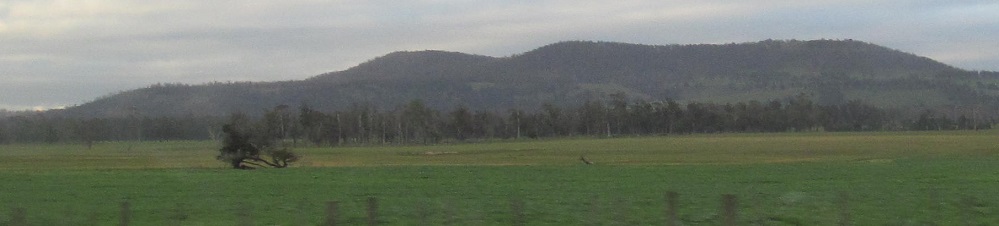
The first two photos are a left/right pair and the last four are a panorama of the same thing: Drys Bluff on the left, blending into the Cluan Tiers on the right.
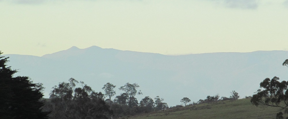
A rise in the road gives me a faraway view of Ben Lomond. Then it's gone, and I see more of the Launceston hills in the 2nd photo. Ben Lomond is south of the various hills but part of the same overall range.
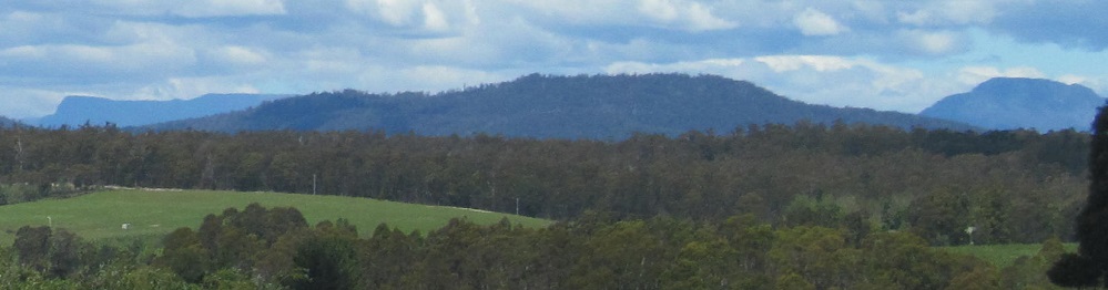
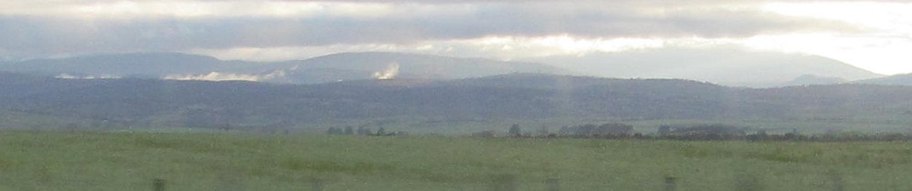
Looking east from just north of Perth at the foothills of Ben Lomond, then southwest at Millers Bluff and the Great Western Tiers.
Two photos of the Hummocky Hills (first south, last west as I pass them) bracket three of the Ben Lomond foothills. I'm south of Powranna for the last 2 photos.
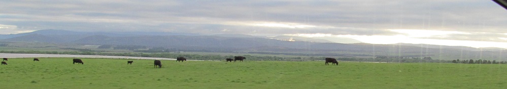
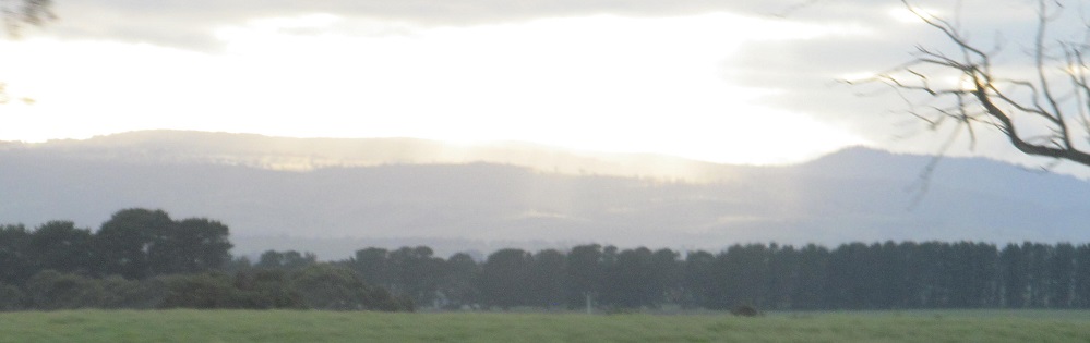
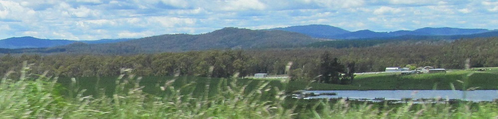
First I'm looking west and northwest over the South Esk River, then I'm looking west and southwest shortly thereafter at the area of Castle Cary, the southernmost extent of Ben Lomond.
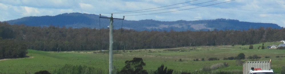
I think it's Castle Cary behind that cloud, but we'll never know. The 2nd photo looks right (west) at the Diamond Hills.
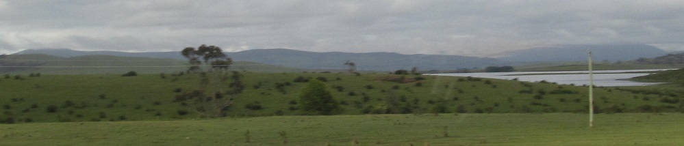
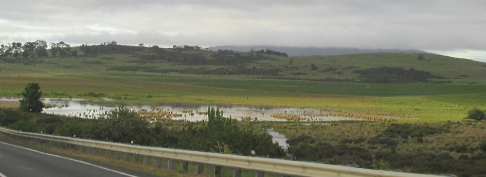
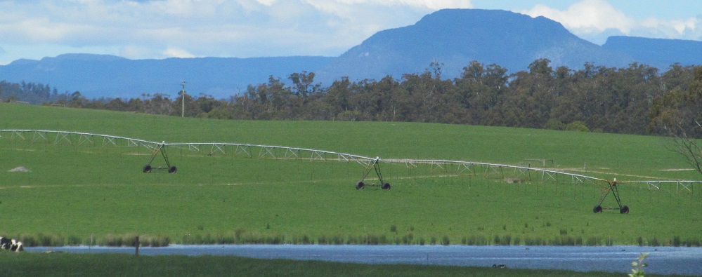
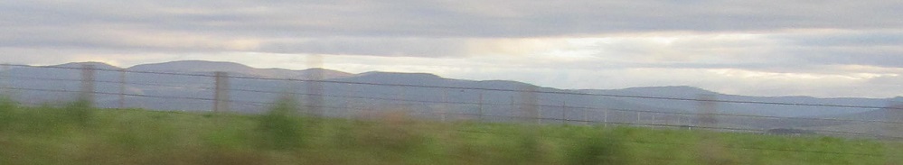
Looking southwest toward Millers Bluff at a widening of Blanchards Creek.
Continue south on National Hwy. 1
Into Campbell Town
Back to National Hwy. 1 main page
National Hwy. 1 (NW of Launceston) road photos
Back to Tasmania Non-Roads
Back to Non-Roads main page