Tasmania - Cataract Gorge - S. of First Basin
Cataract Gorge south of First Basin
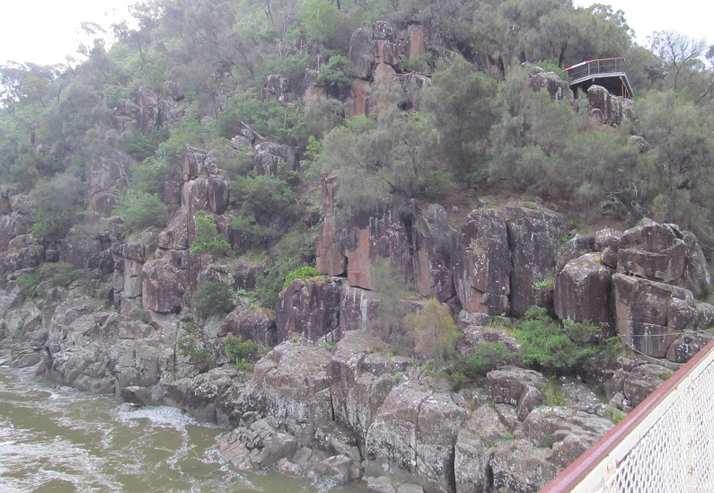
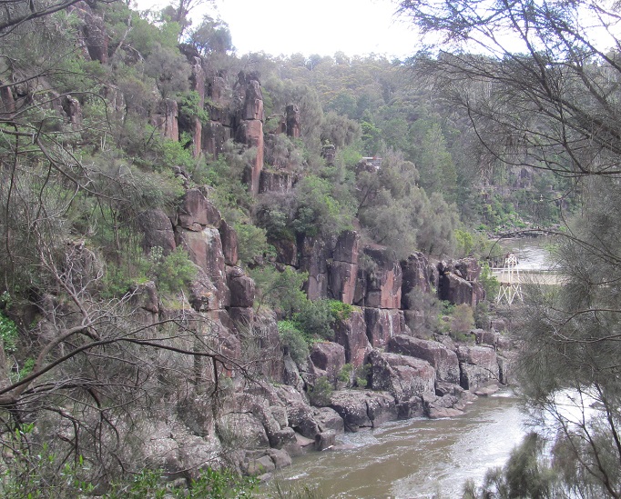
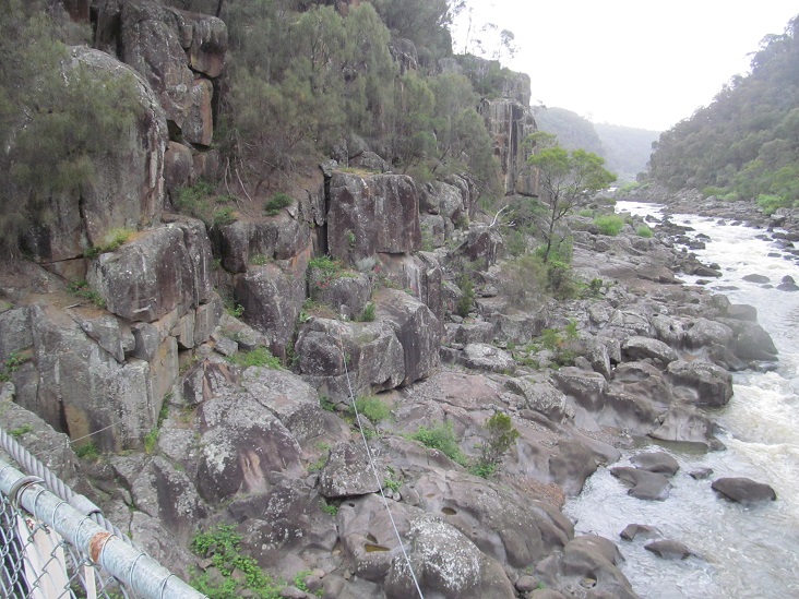
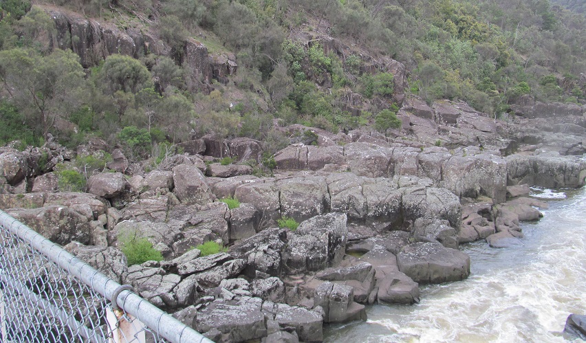
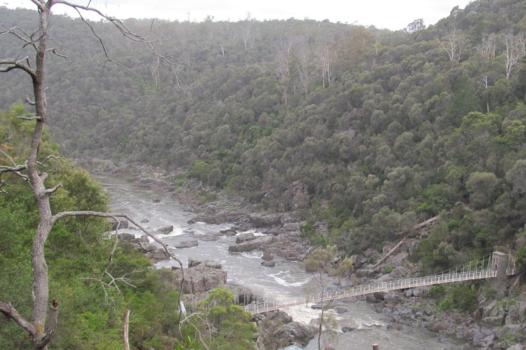
The two walls of the gorge looking south from Alexandra Suspension Bridge.
Starting my way south toward Duck Reach, waving goodbye to First Basin.
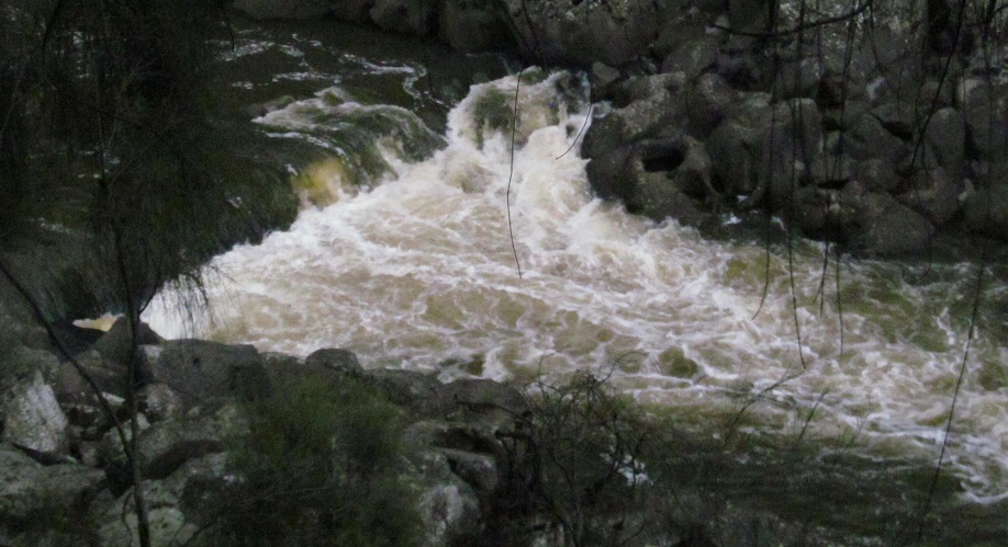
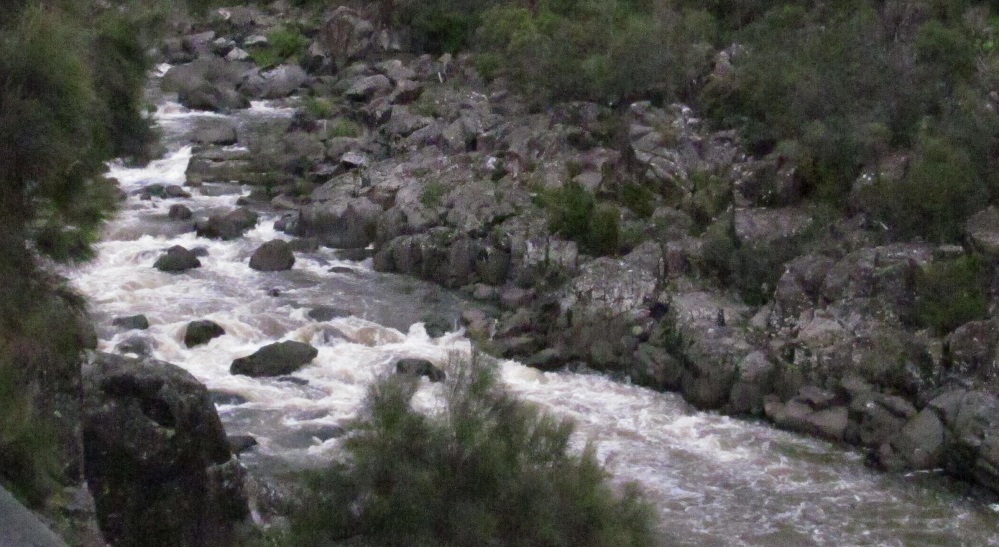
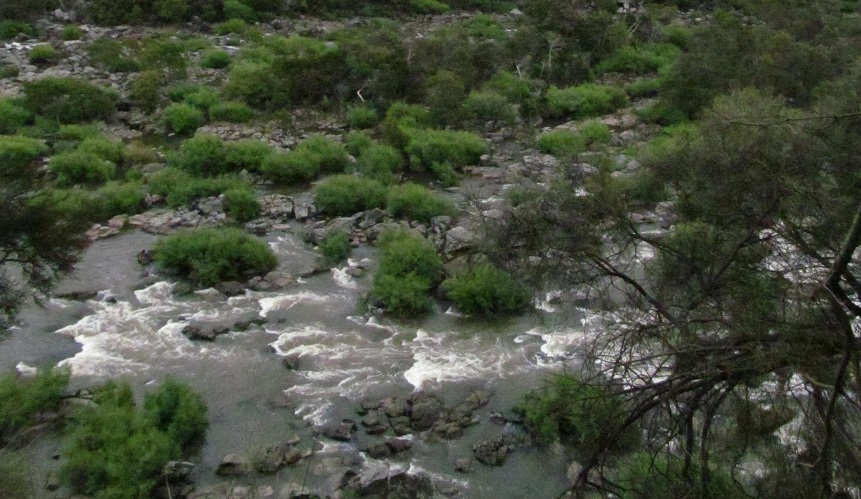
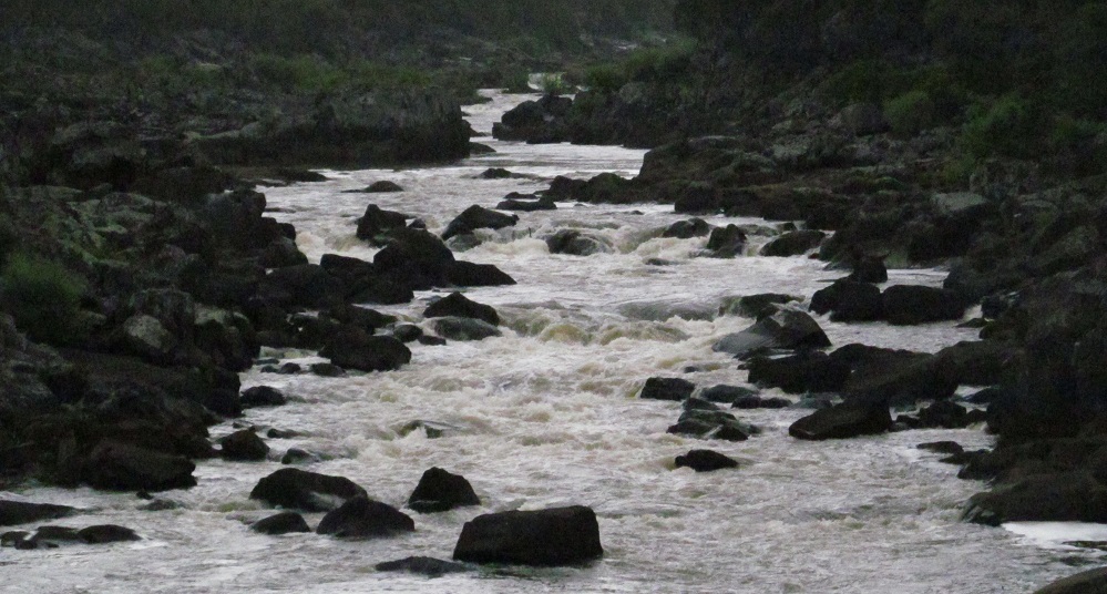
The river starts to get interesting after the low dam in the previous photo set.
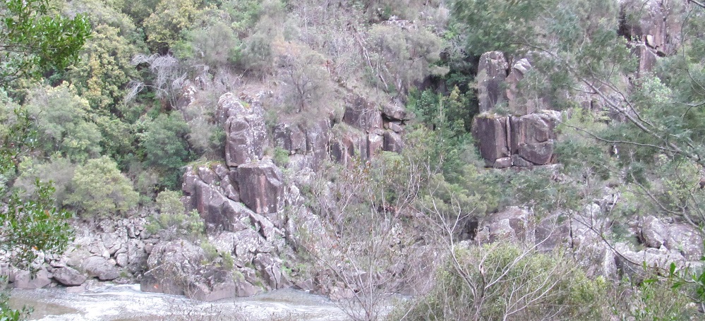
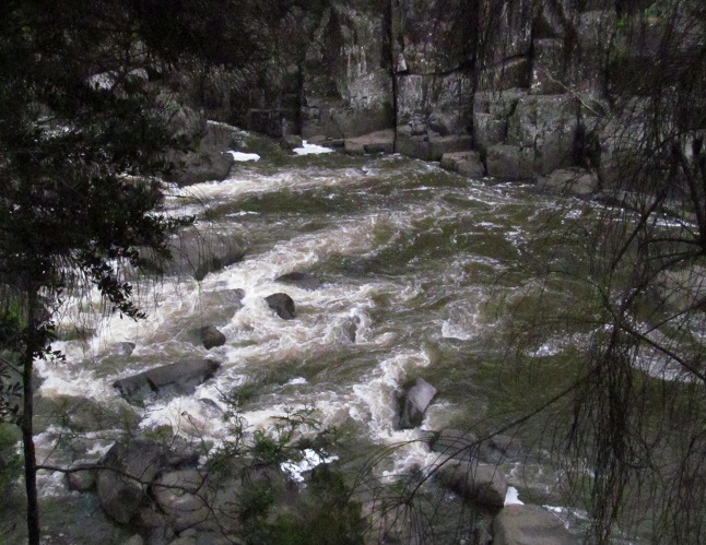
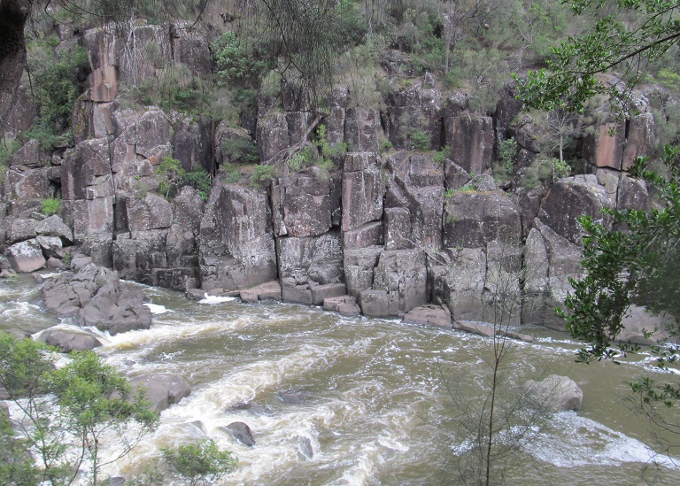
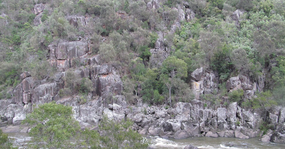
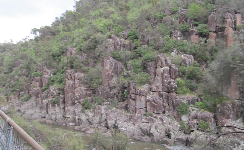
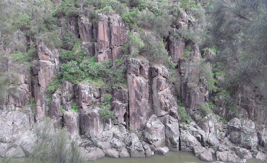
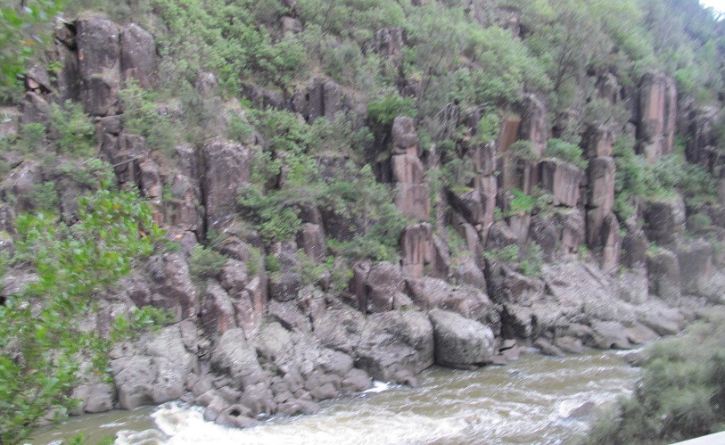
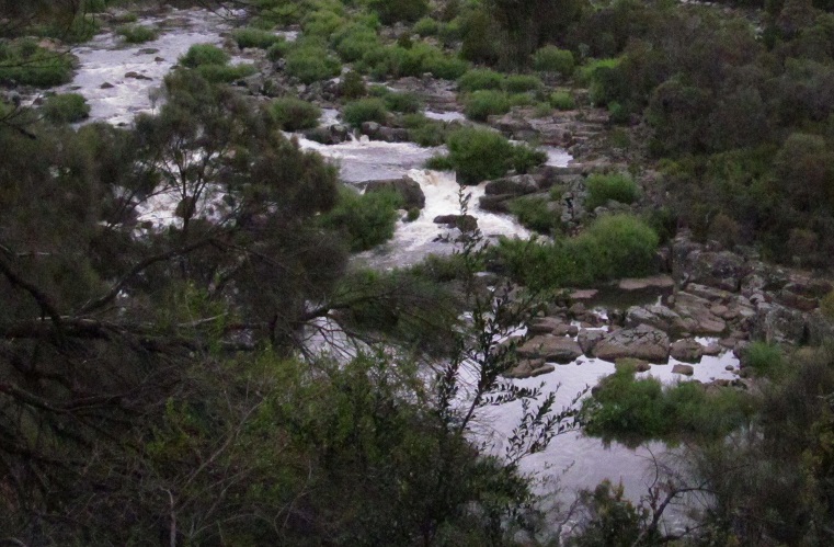
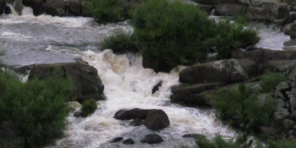
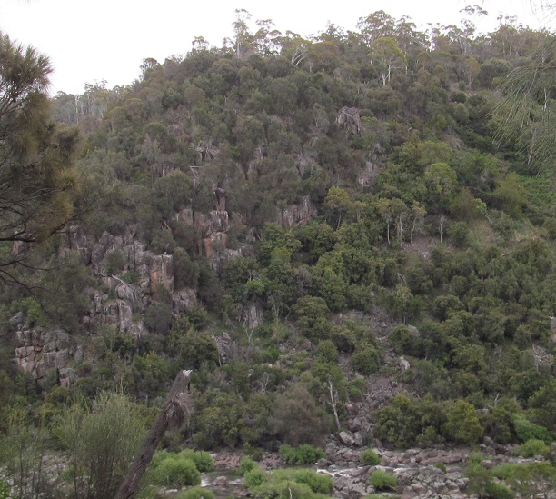
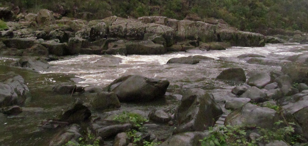
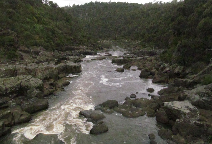
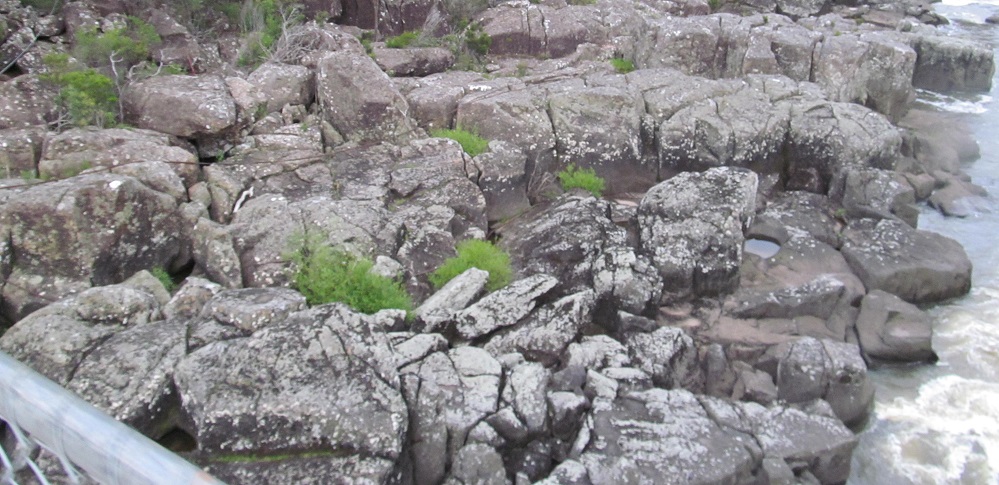
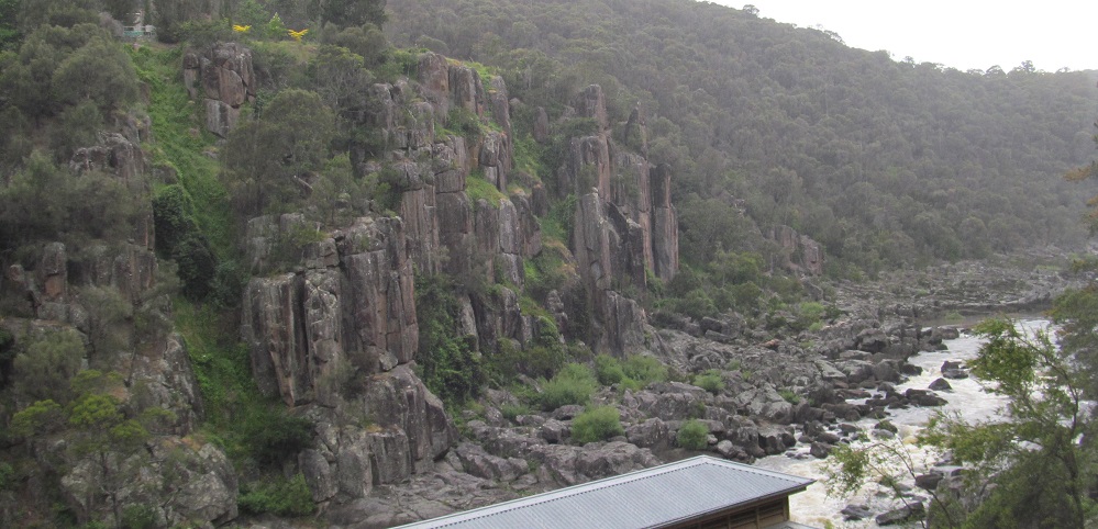
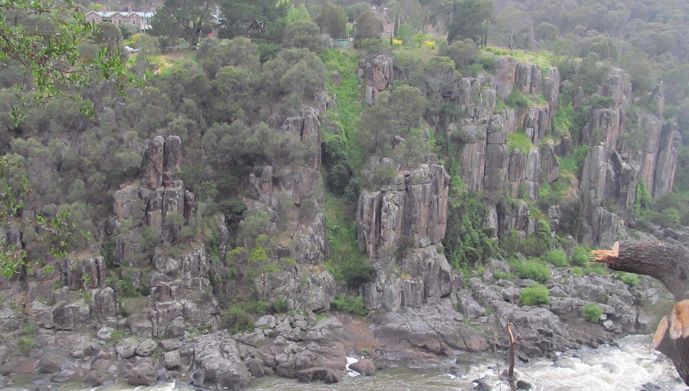
Various views of the rapids area and the dolerite pillars on the north face of the gorge.
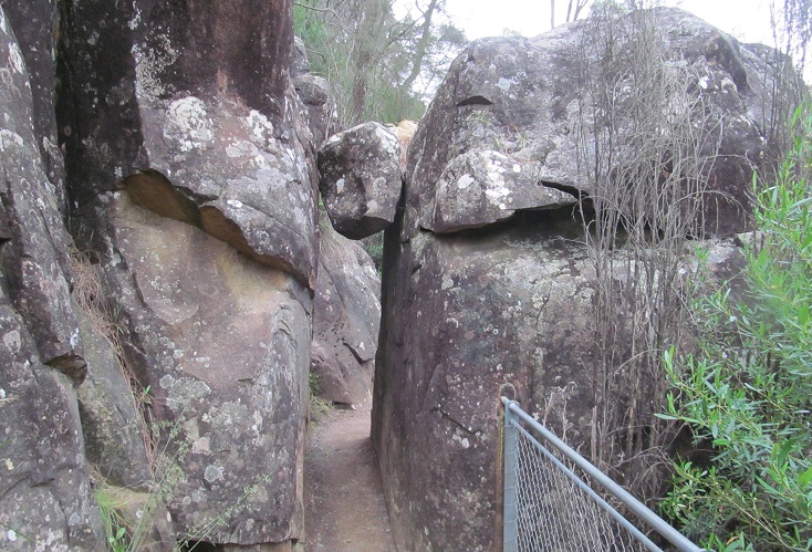
No fatties on the trail, please. Or tallies. Wouldn't want to dislodge the rock of doom.
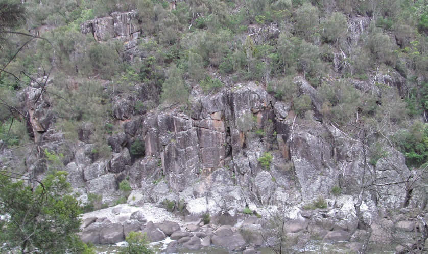
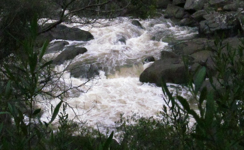
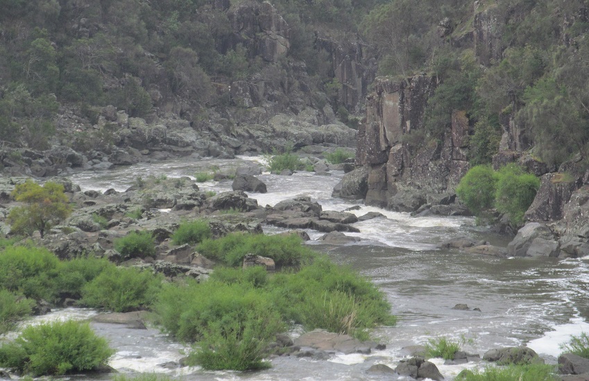
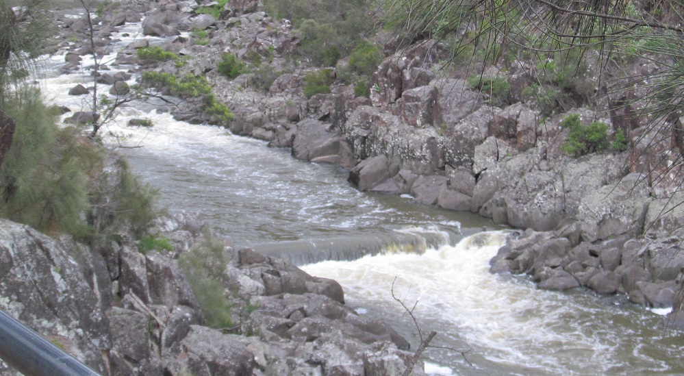
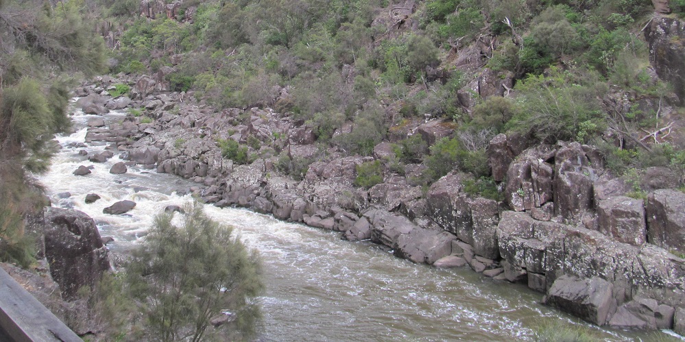
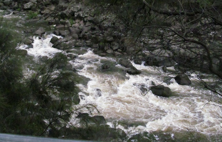
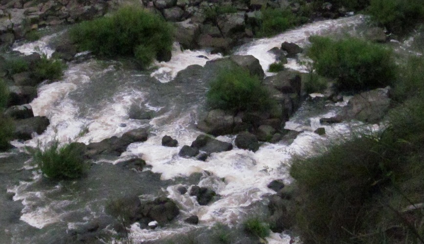
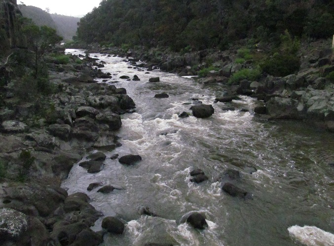
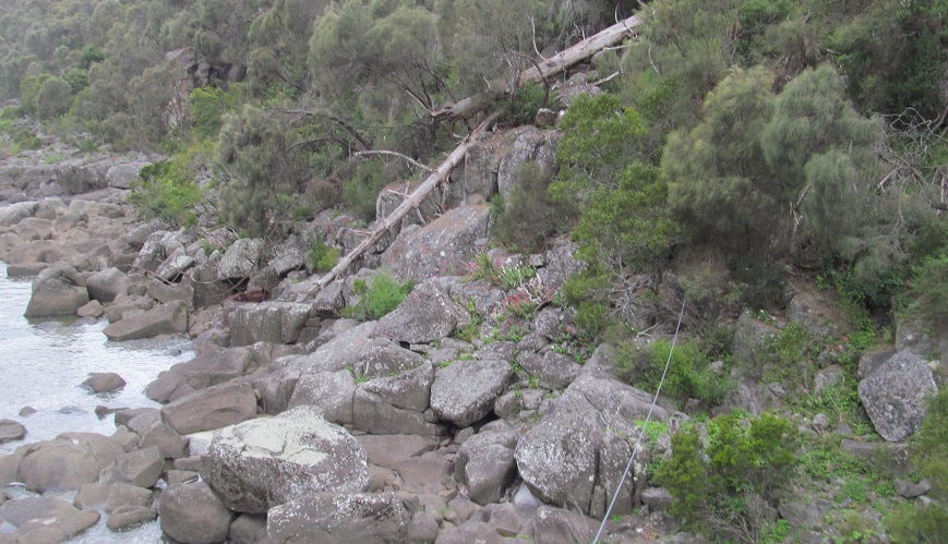
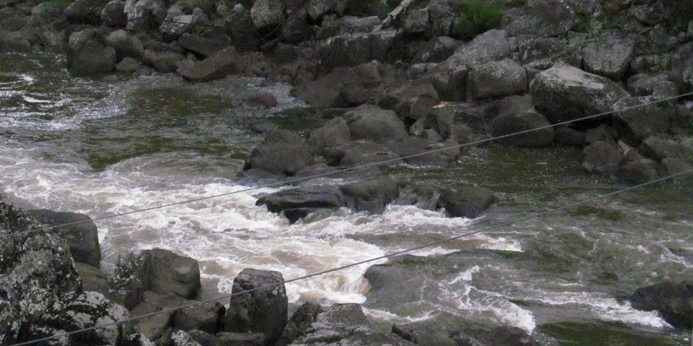
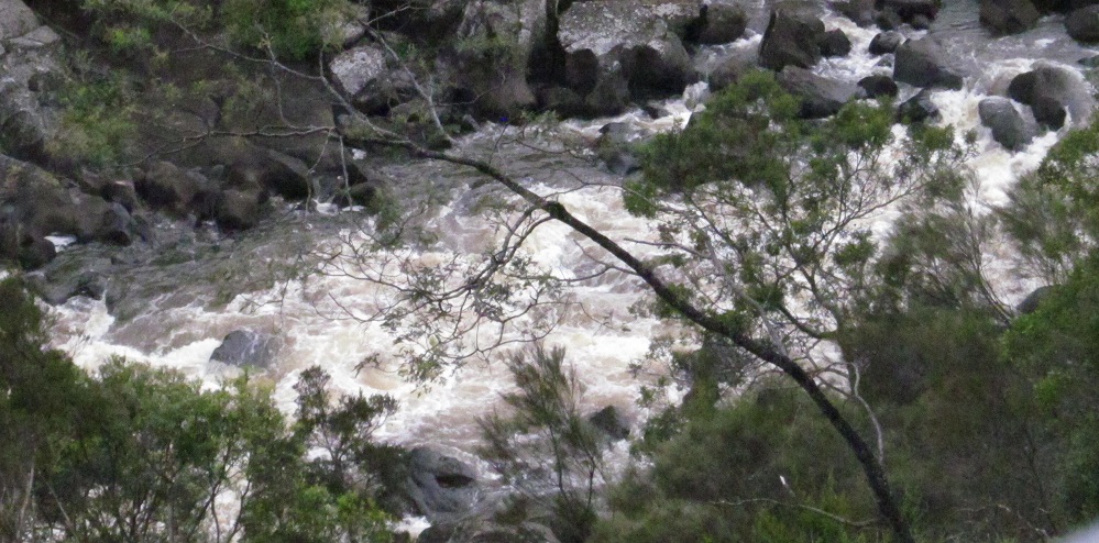
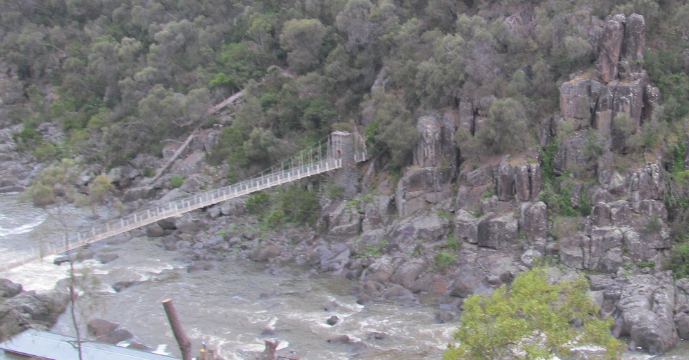
More rapids views; the last photo looks back north along the South Esk downstream.
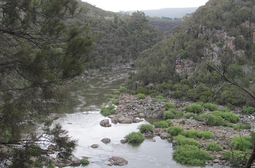
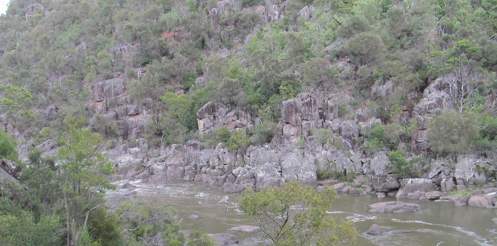
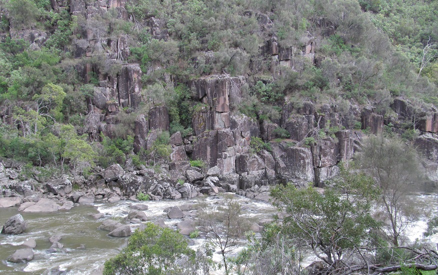
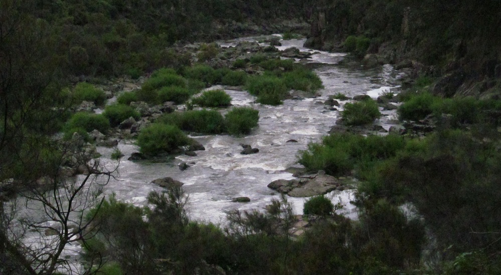
The river suddenly has gotten very bushy.
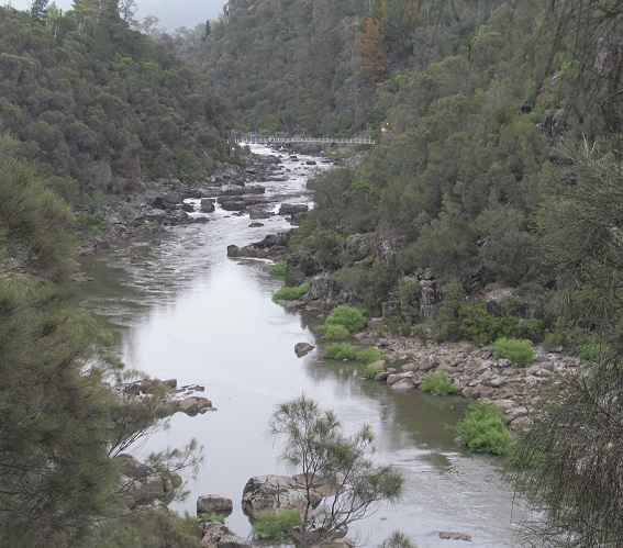
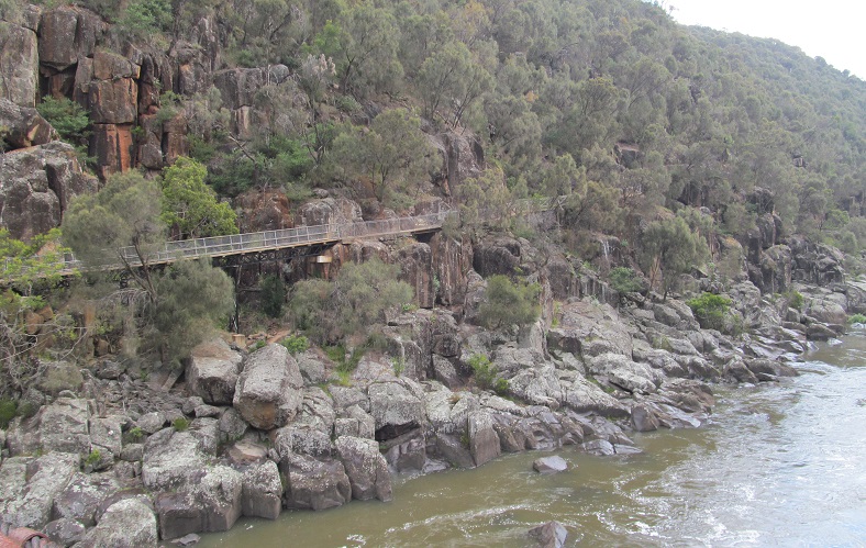
Duck Reach comes into view as I leave the bush section behind me.
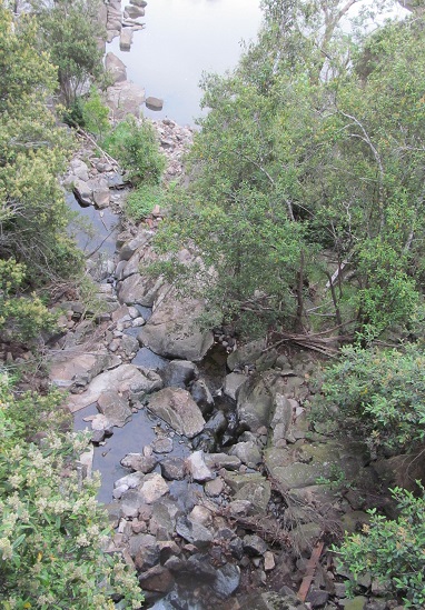
Before I cross the Duck Reach bridge, I head under it for some artistic ground-level photos. Be impressed.
Onto the Duck Reach suspension bridge, looking south/upstream.
Looking north/downstream from the bridge.
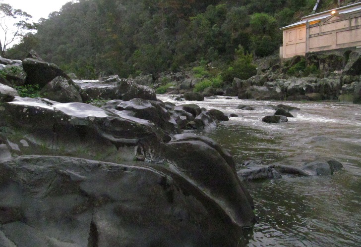
Now from the vantage of the west shore above the Duck Reach Power Station (see big link below), looking north and south with a closeup of the one rapids section to my right.
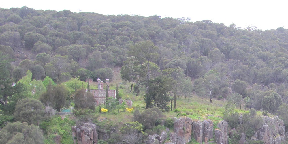
Looking straight across to my east, I see some stone buildings on the cliffs. Five workers' and engineers' cottages were built in 1897 for convenient commuting across the bridge every day, and to make sure people didn't enjoy living out of sight of their workplace (or working out of sight of home).
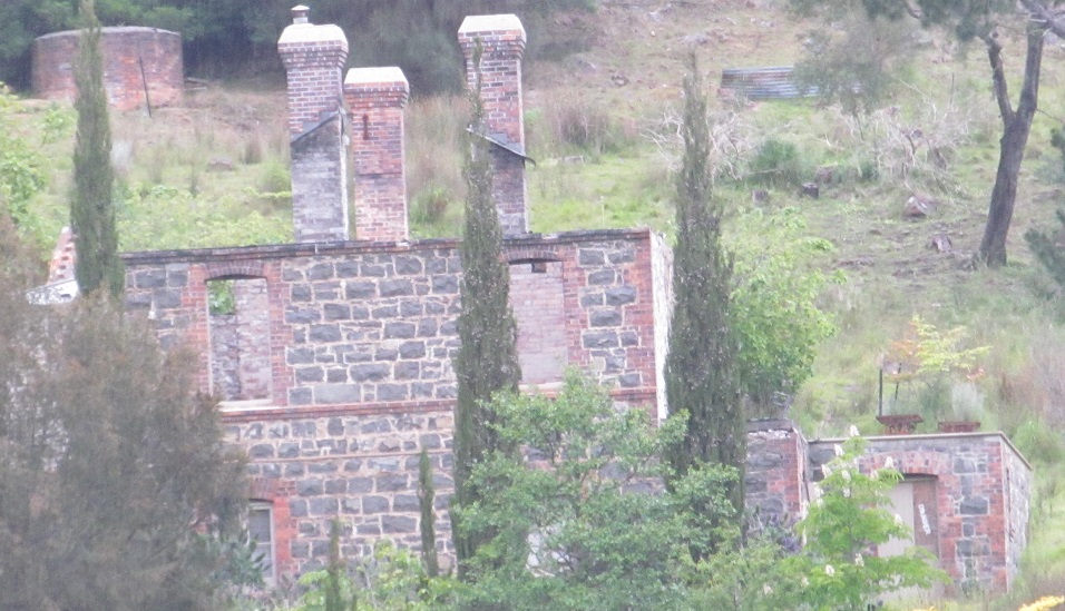
This little cottage went "wee wee wee wee wee" all the way to ruin. The Chief Engineer's House made it to 2011 before being gutted by a fire, which fortunately spared the other cottages. If fire had to ravage one house, at least it's the one where I can easily see the ruins from the gorge.
Walk north to First Basin
Duck Reach Power Station
Duck Reach suspension bridge
Alexandra Suspension Bridge
Back to Cataract Gorge main page
See more of Launceston
Back to Tasmania Non-Roads
Back to Non-Roads main page