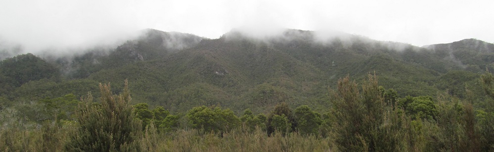
Tasmania - Highway A10 - S. of Lake Burbury
Lyell Highway, Highway A10
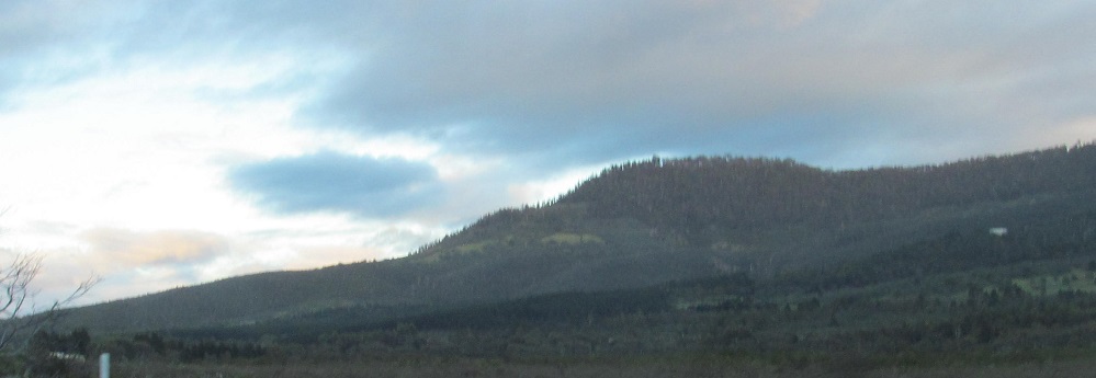
South of Lake Burbury
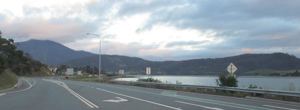
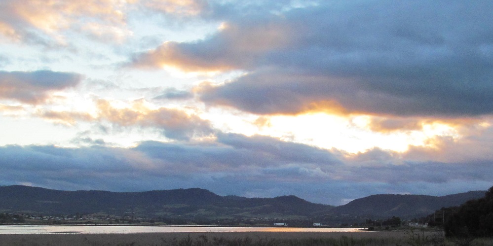
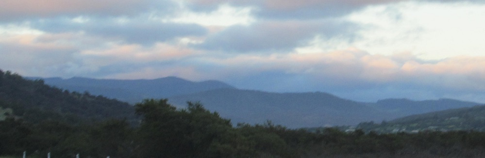
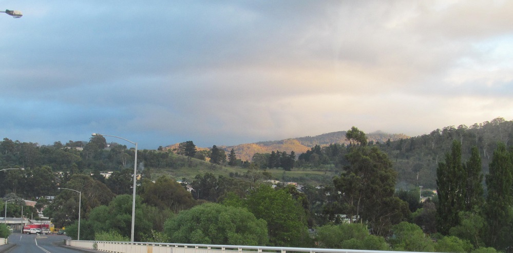
Heading north from Granton, swinging around from north to south to capture dawn over the River Derwent.
Mount Dromedary is ahead. Check out those humps at the top. Those lovely... never mind.
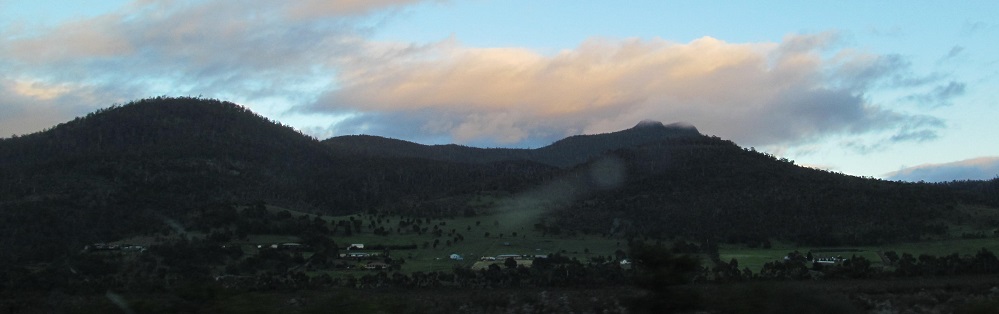
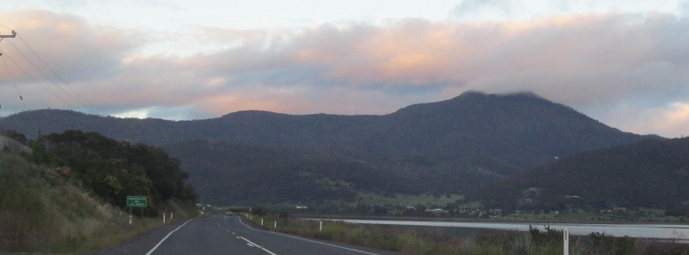
As the road bends west with the river, Mount Lloyd is ahead and Mount Suggestive is to my right.
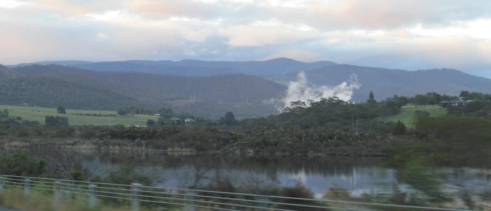
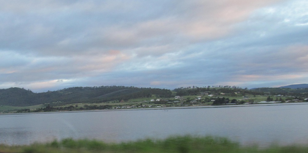
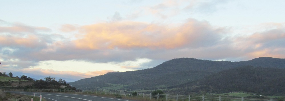
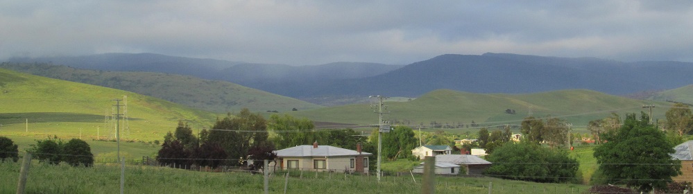
More River Derwent scenes, and the western foothills of Mt. Dromedary nearing Malbina.
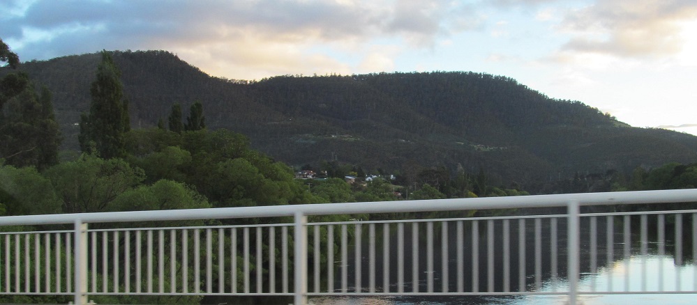
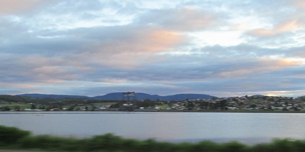
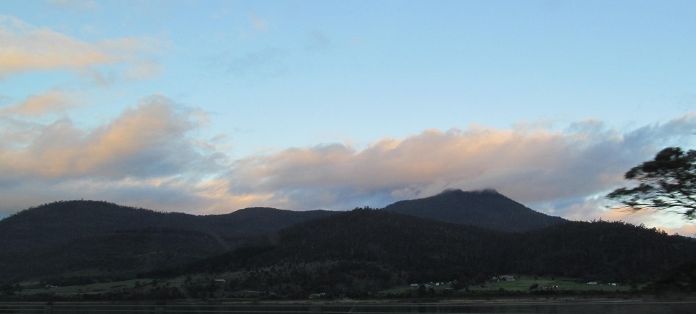
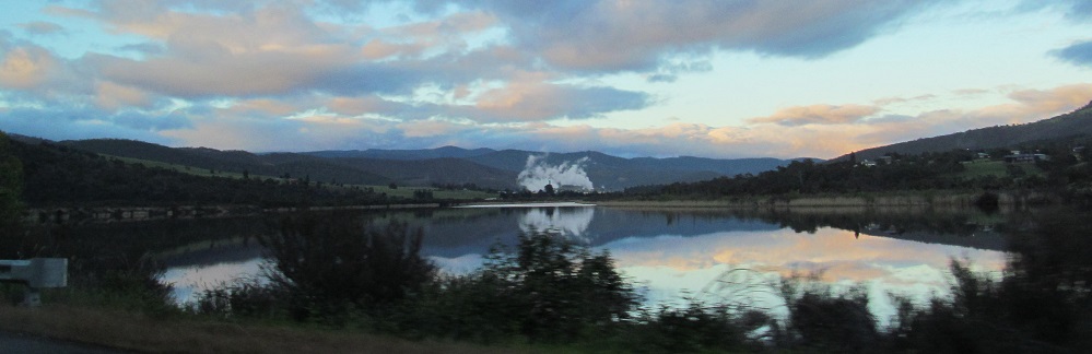
Lyell Highway crosses the River Derwent in New Norfolk. The first photo looks north at the Black Hills north of Magra, while the second looks back east toward Mt. Dromedary (humps not pictured).
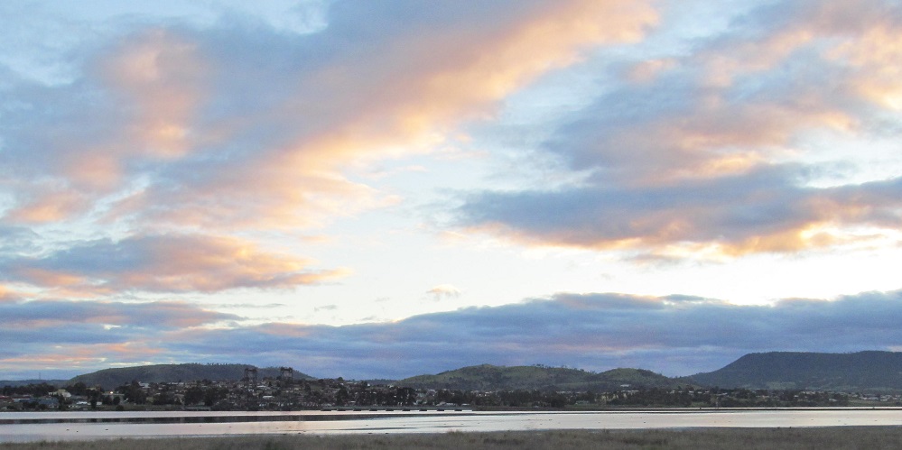
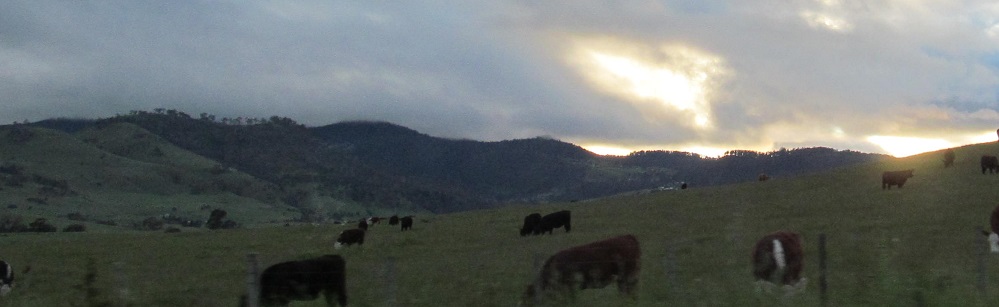
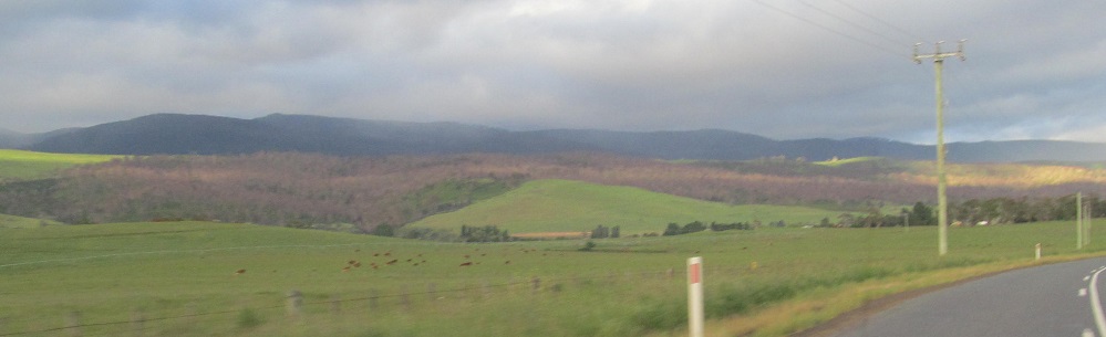
The sun plays peek-a-boo near Hayes and in Rosegarland.
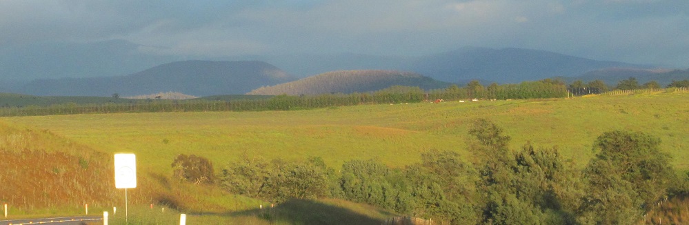
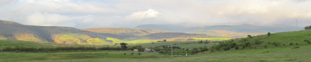
To my right, the sun appears over Tanina Bluff at the far west end of Mt. Dromedary's foothills. To my left, the beginnings of a rainbow... no, make that a fogbow.
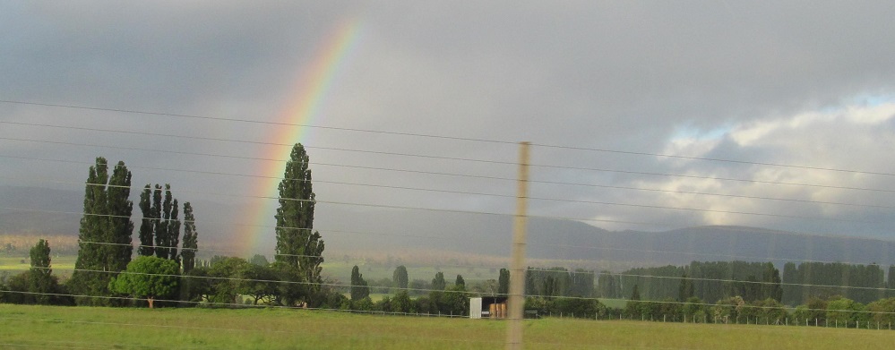
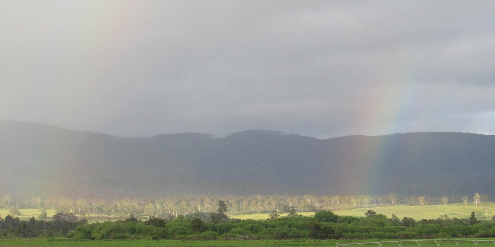
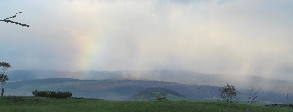
Continuing westerly through Hamilton (see big link below) until the rainbow becomes vivid. Double rainbow in the last photo. What does it mean? It means I'm having fun.
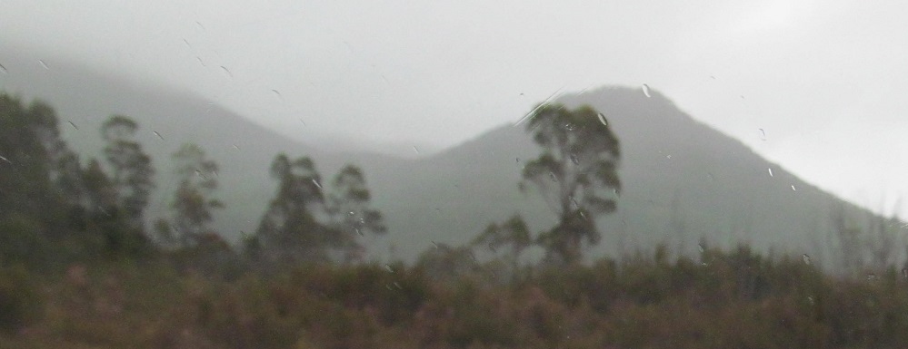
A minute after the third crossing of the Nive River, Bronte Peak is on my right.
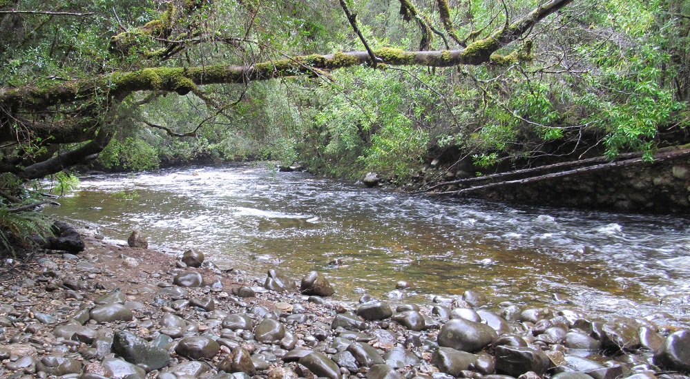
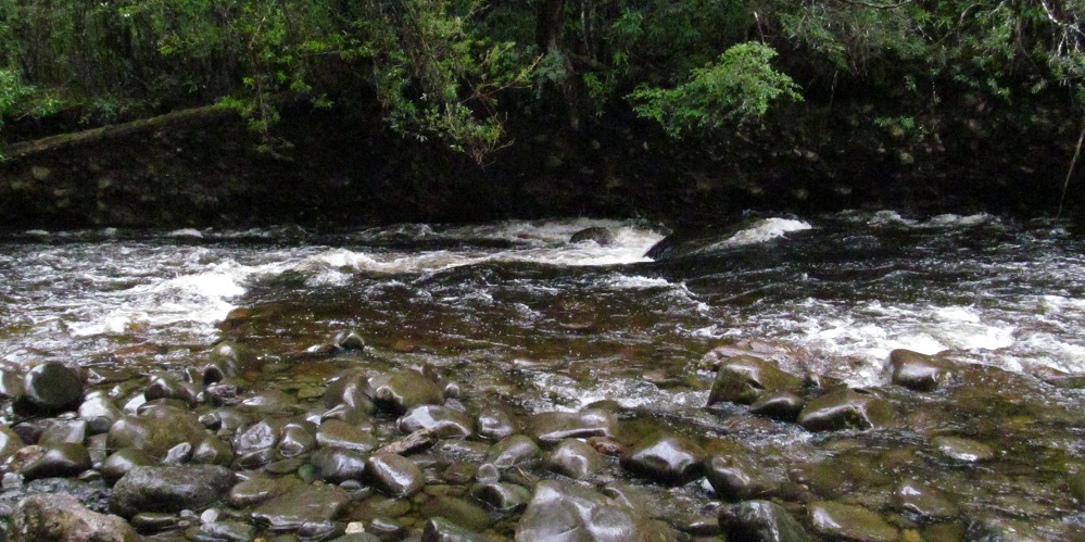
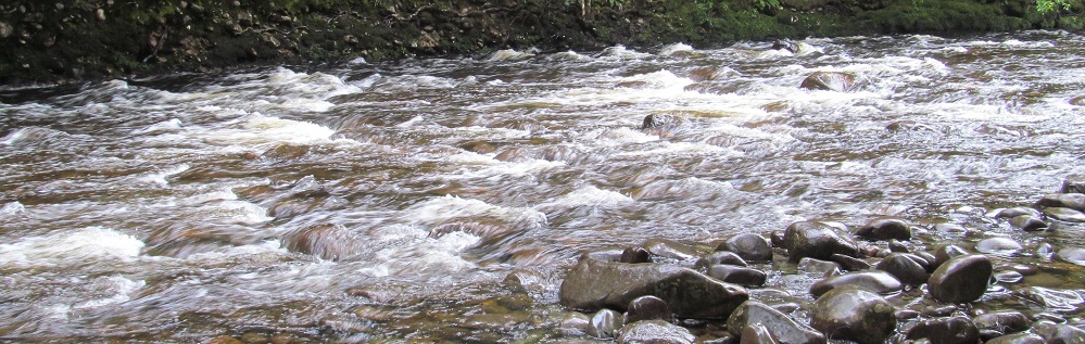
Getting wet in the Franklin Hills, featuring a stop at the Frankin River.
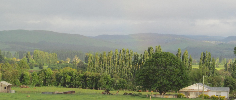
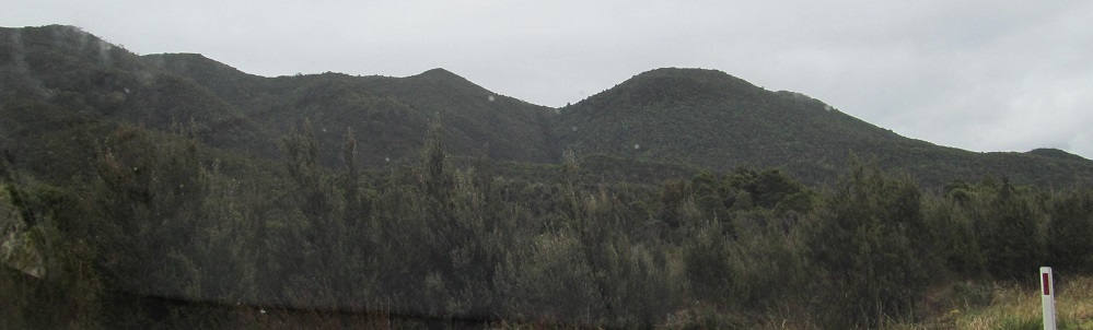
The road continues to head west. Donaghy's Hill rises behind a swamp on my left, with Mt. Mullens to the south.
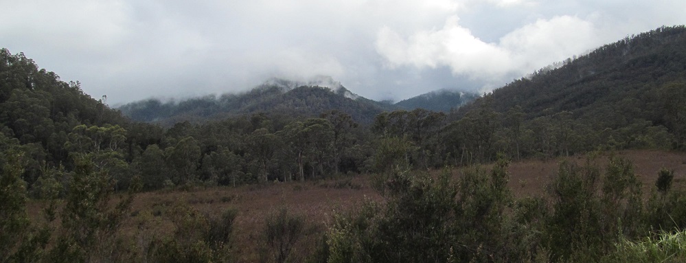
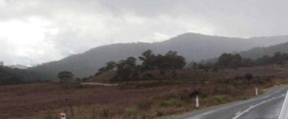
To my right (northeast) and ahead nearing the Eldon and Raglan Ranges.
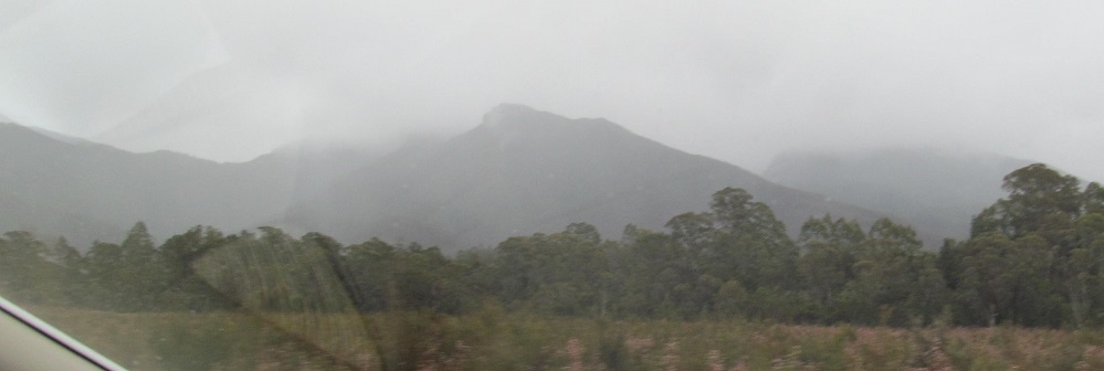
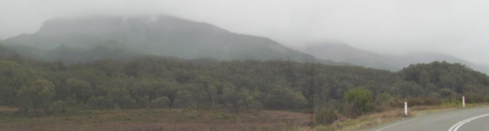
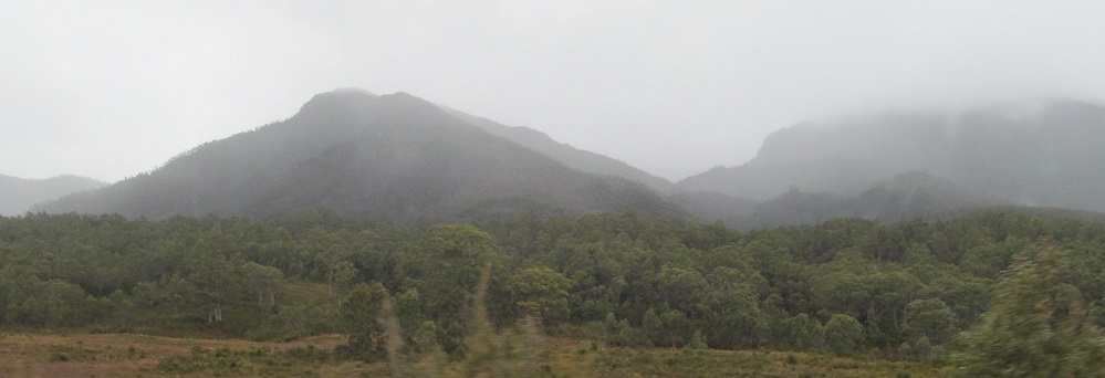
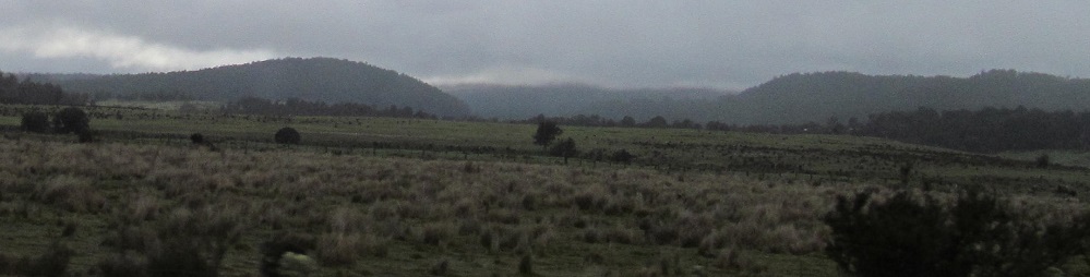
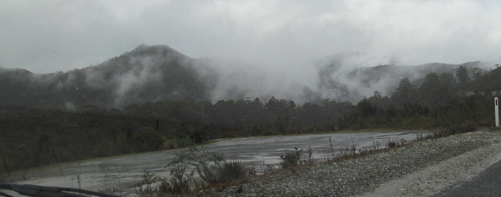
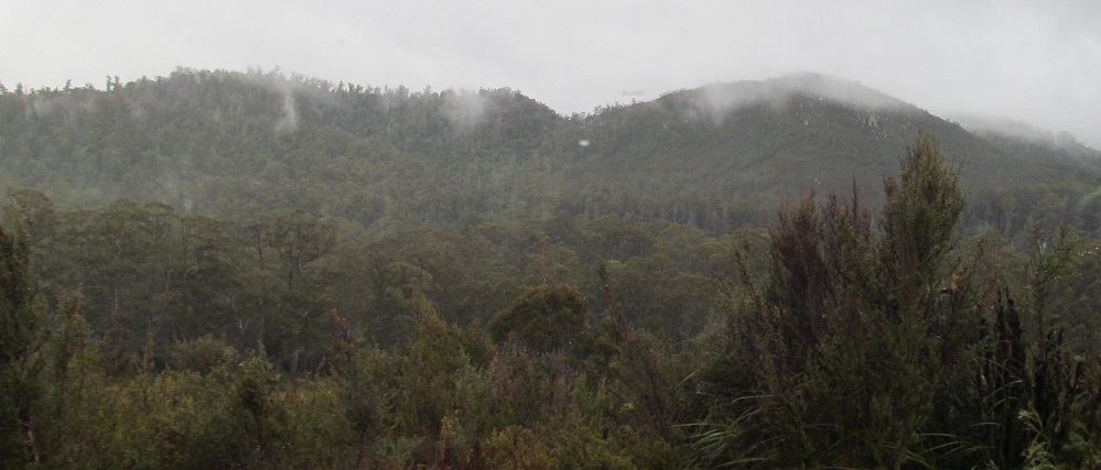
Shadowy figures in the fog, first looking southwest (Flat Bluff foothills) for two photos, then south, and finally back east from where I came.
The rain-soaked gateway (left side pictured) that defines Victoria Pass and the top of Lyell Highway.
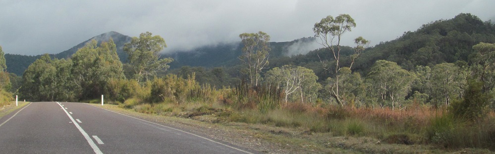
West of Nelson Falls (see big link below), still not yet really heading north, I'm nearing Crotty Conservation Area and Lake Burbury, but you must continue north for more.
Continue north on Lyell Highway (A10)
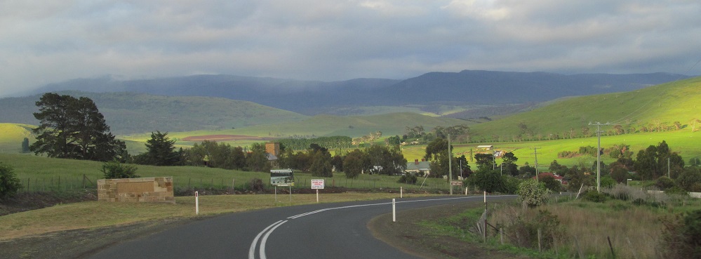
Hamilton
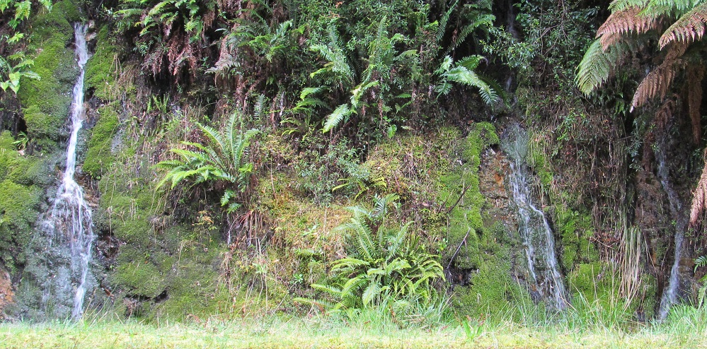
Nelson Falls
Back to Highway A10 main page
Back to Tasmania Non-Roads
Back to Non-Roads main page