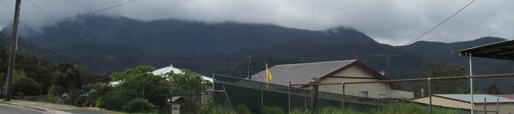
Tasmania - Highway A10 - N. of Gormanston
Highway A10 north of Gormanston
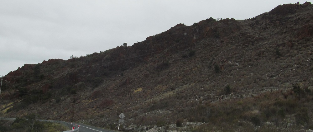
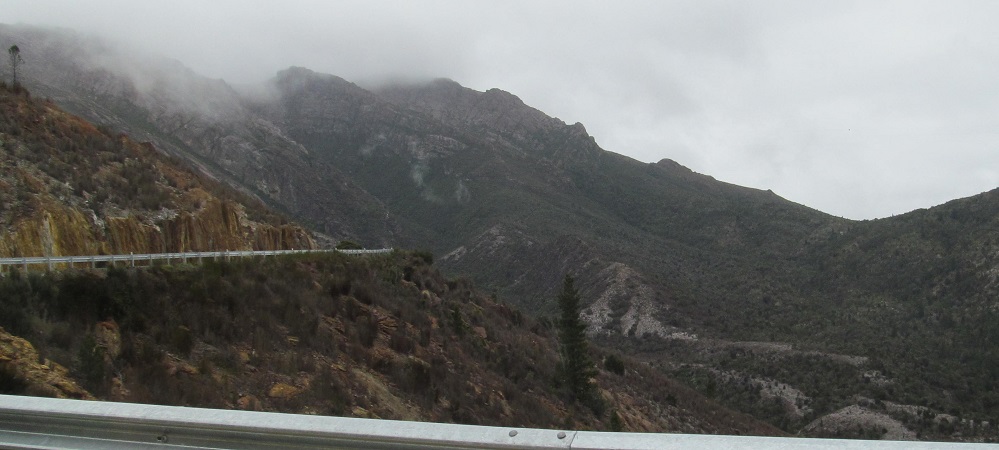
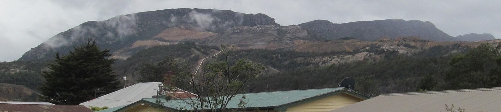
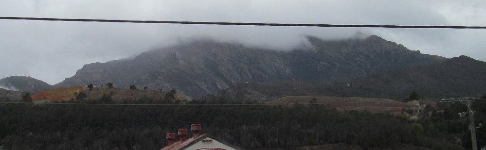
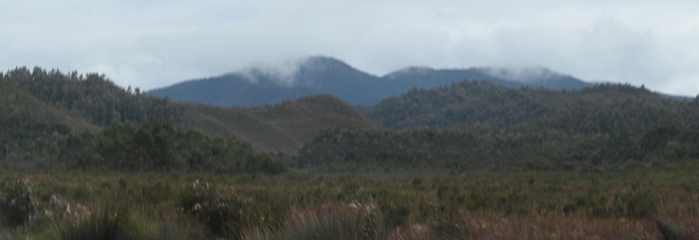
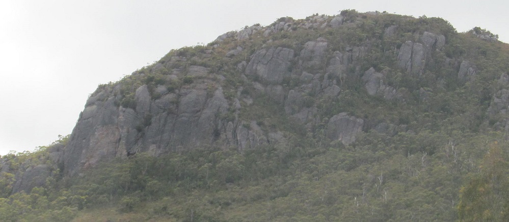
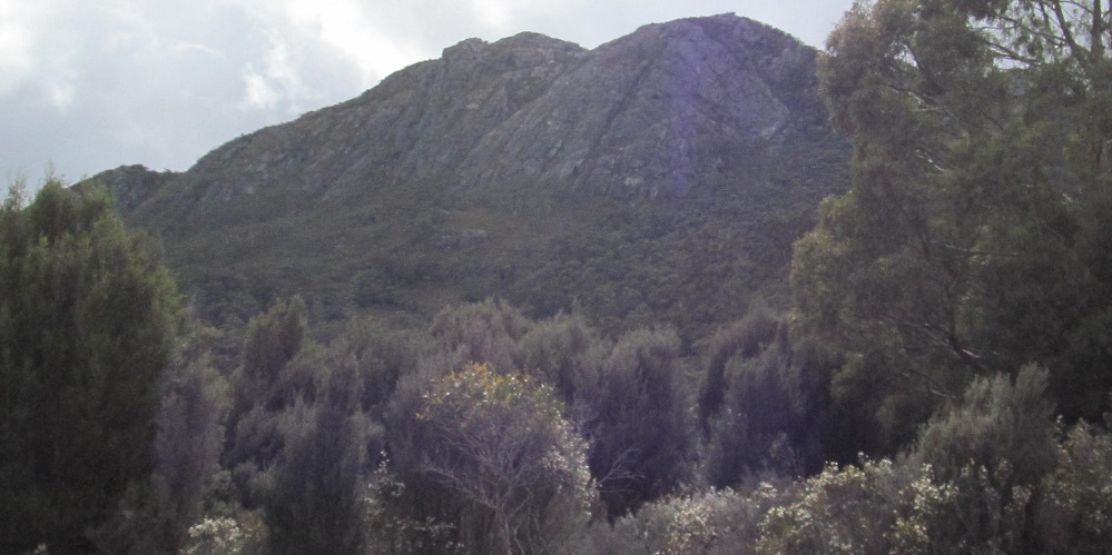
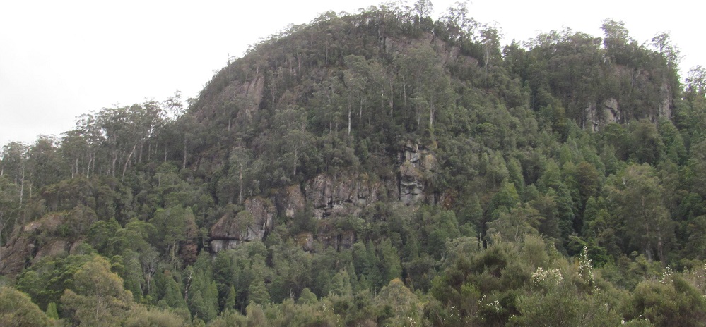
Leaving Gormanston, the road curves from west to south, and I'm facing the back slope of Mt. Owen in the last two photos. The rise in the centre of the 2nd photo may be "Little Owen," depending on how strongly I believe the one free topographical source I was able to find.
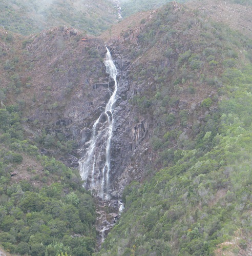
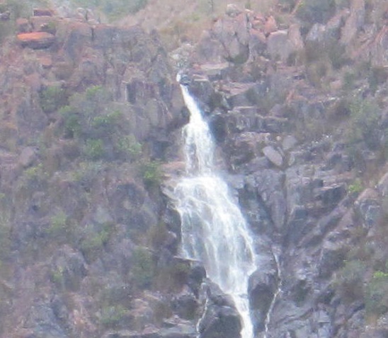
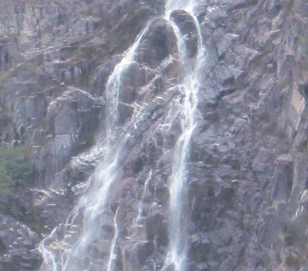
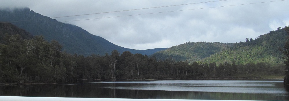
Horsetail Falls tumbles down from the north base of Mt. Owen. This is the second high pass that the Lyell Highway crosses in this area, after Victoria Pass (two pages ago but only 25 km).
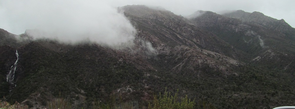
Once past the falls, if I look west, I can see Queenstown, while Mt. Owen is still to the south.
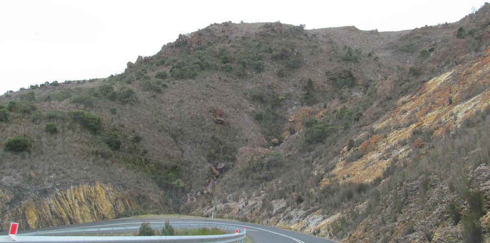
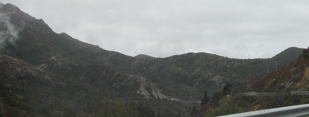
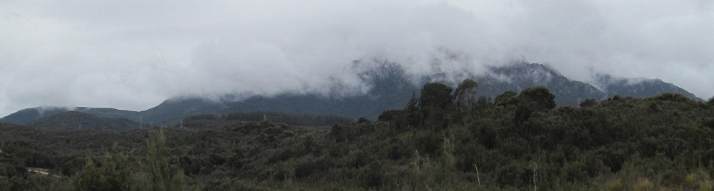
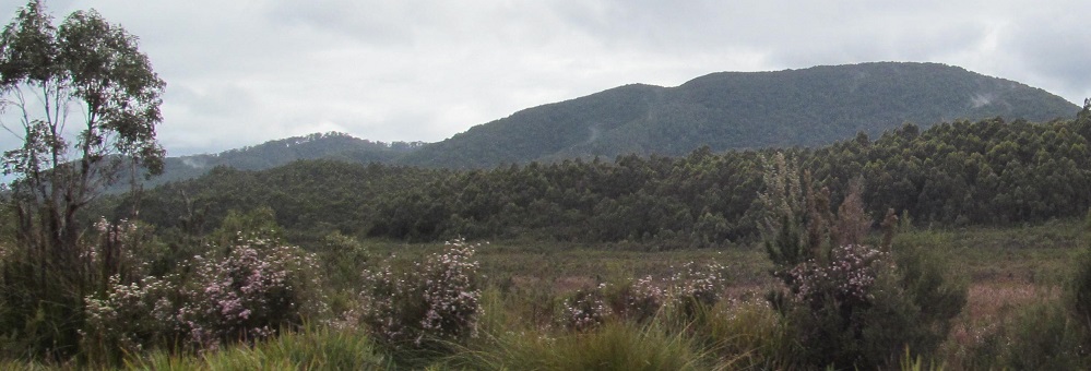
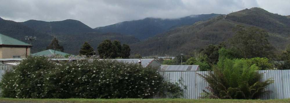
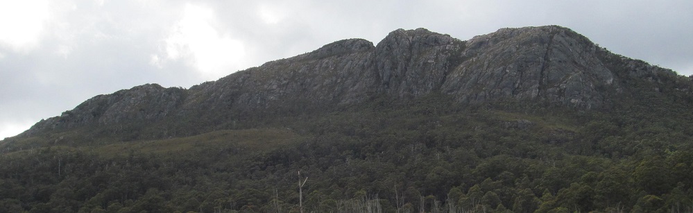
Panning from north to west to south, facilitated by the hairpins in the road.
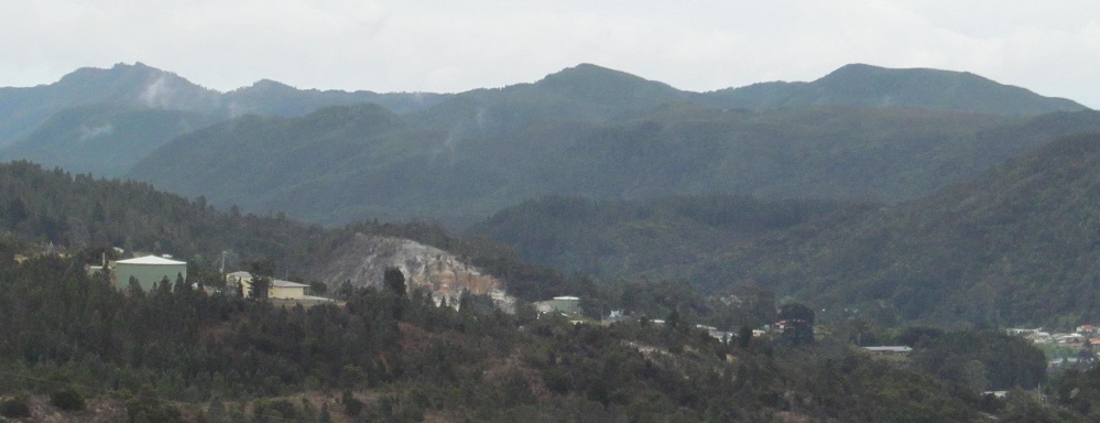
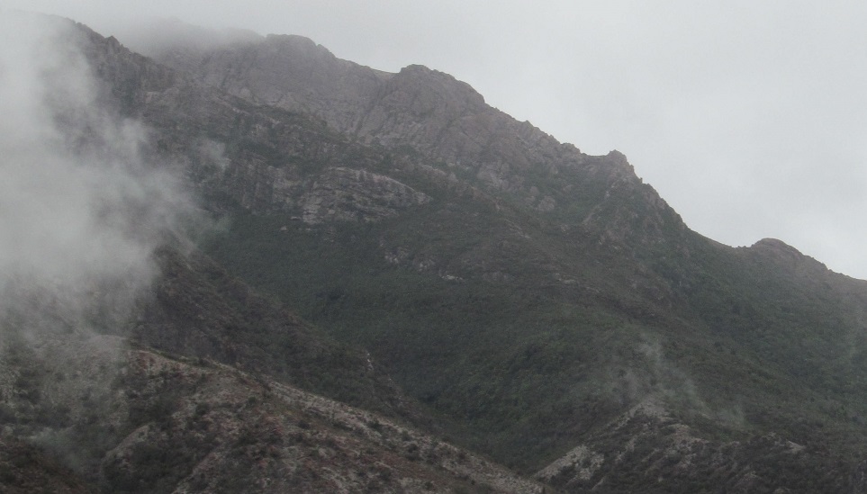
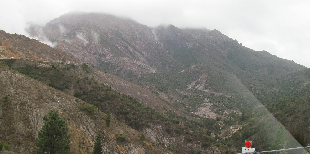
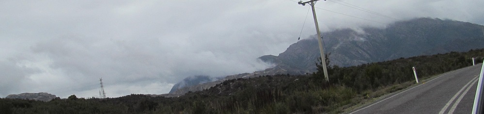
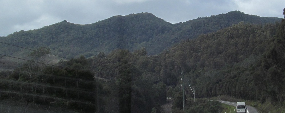
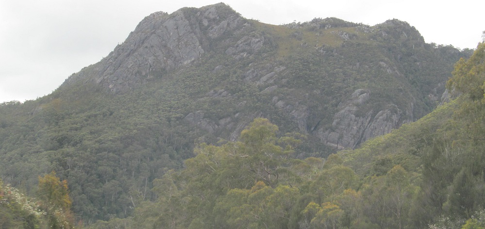
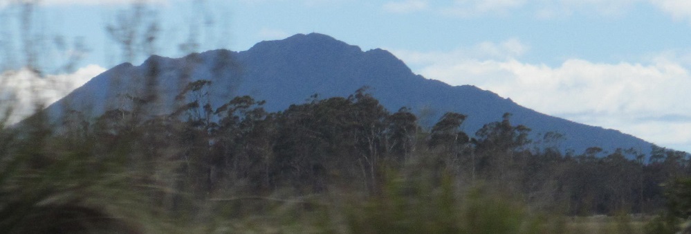
Queenstown again, then some more views of the north side of Mt. Owen, the mountain that just won't leave my captions.
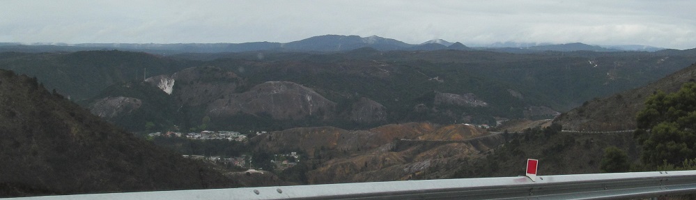
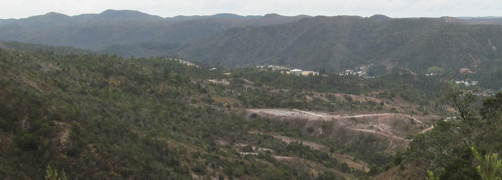
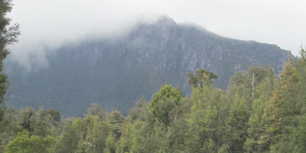
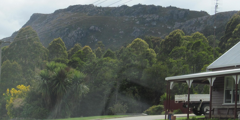
Past Queenstown (see link at bottom), there is plenty more mining in the hills above me, and guess which mountain I can still see.
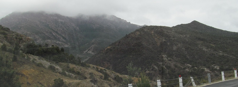
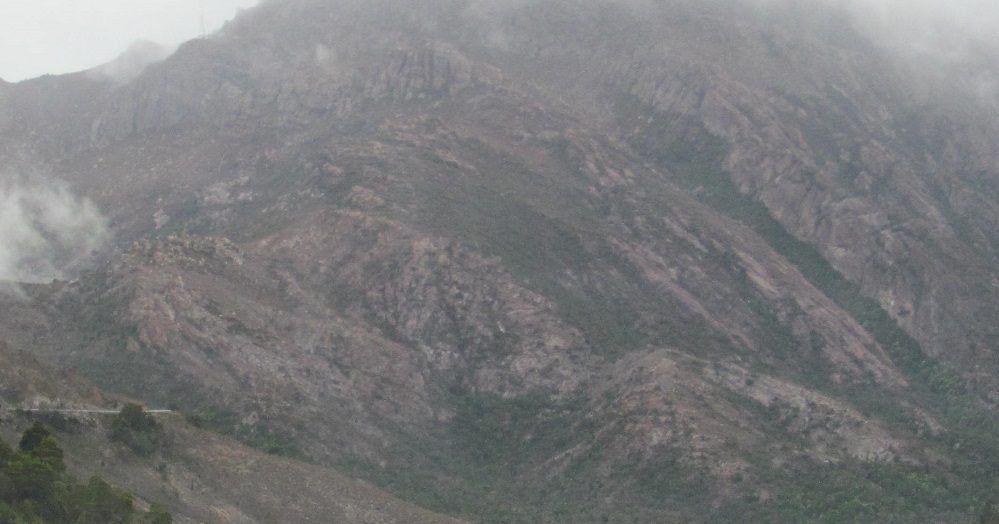
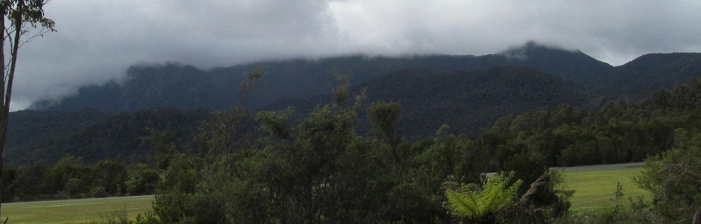
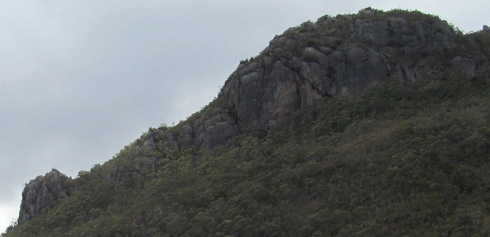
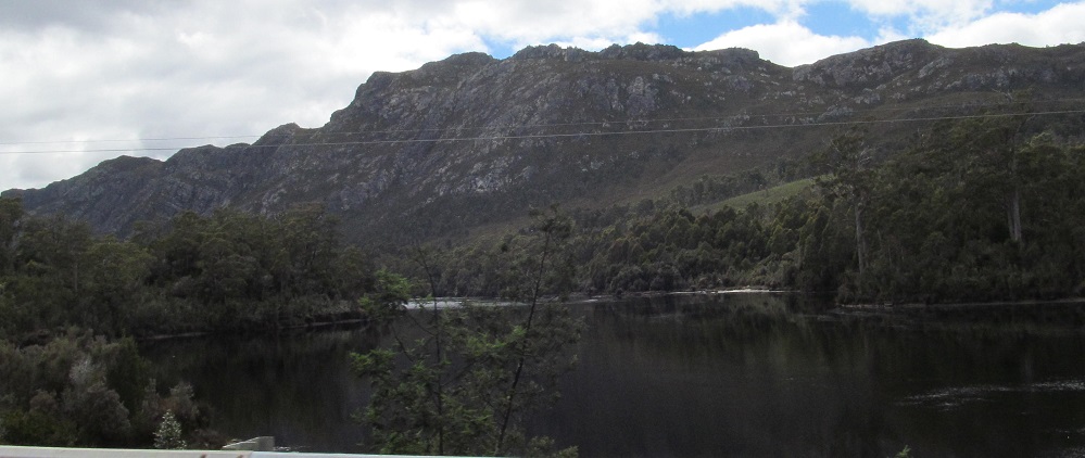
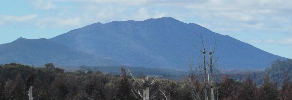
Lyell Highway turns off to follow Highway B24 to Strahan. These photos look southeast from what's now called Zeehan Highway. The west face of Mt. Lyell is hidden by clouds, and I promise, this is the last photo of Mt. Owen. They really should have called A10 the Owen Highway.
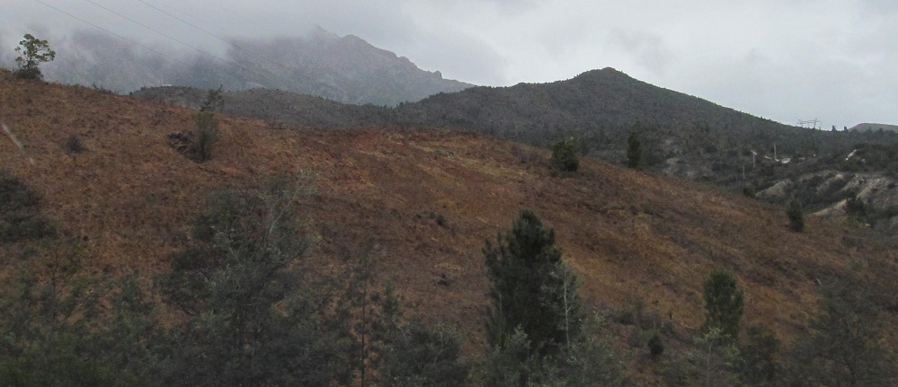
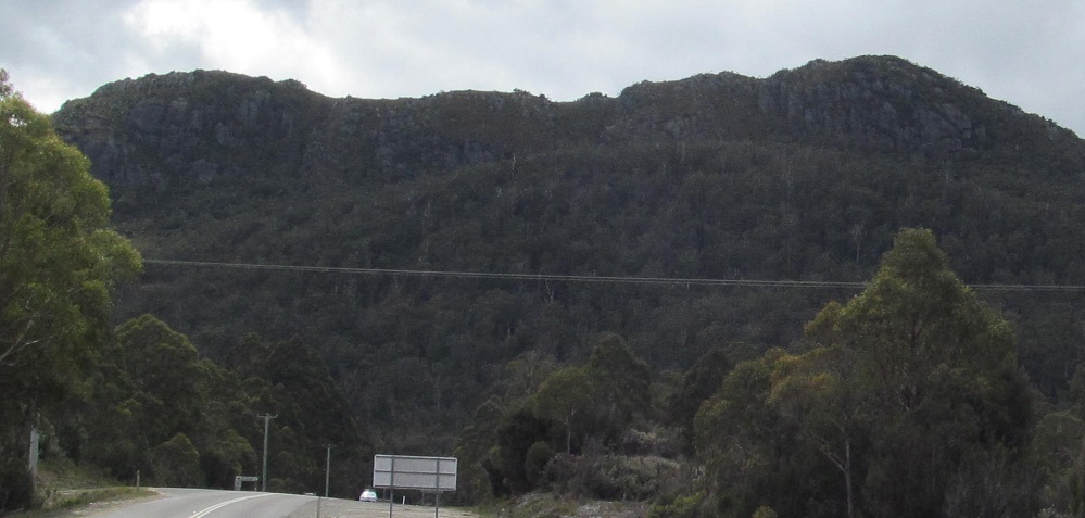
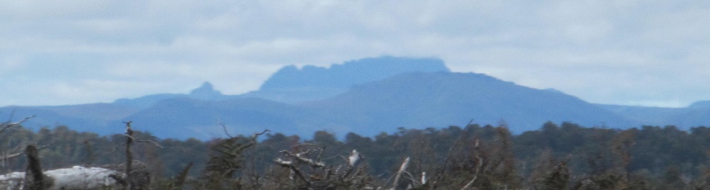
The Zeehan Highway segment is brief. A minute north of here, it heads west with Highway B27 to Zeehan. The named highway ends, but the numbered highway continues back around south to Strahan. It's all a big circle. These photos show the Western Hills and Mt. Razorback, respectively.
The final leg of Highway A10 is the Murchison Highway. The first (foothills) and last (from Murchison Street in Rosebery) photos feature Mount Read, while the centre two feature Mt. Murchison on the east side of Rosebery.
The first photo again looks south toward Mt. Murchison from east of Rosebery, while the other two are the last gasps of its northern foothills.
Crossing the Murchison River, photos look north at Mt. Farrell, east at the same Mt. Murchison foothills (or perhaps footcliffs), and west at Lake Rosebery with Mt. Read on the left.
Murchison Highway follows the west side of Mt. Farrell (first 2 photos) and its northern tail (last 2 photos, from Tullah and along the Mackintosh River).
Into the woods I go, and a half hour later I emerge in hectares of tree farms in Guildford with St. Valentine's Peak to the east.
Recently hewn trees in Parrawe give me a chance to look to my east. The first photo again features St. Valentine's Peak (now southeast), with Companion Hill to its lower left.
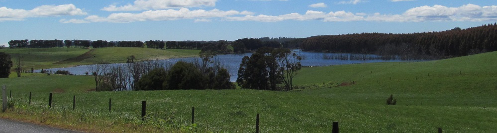
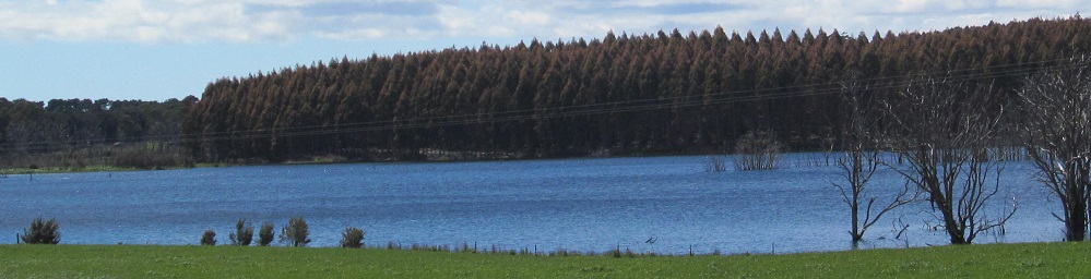
Looking east at an impoundment of Rover Creek in Henrietta.
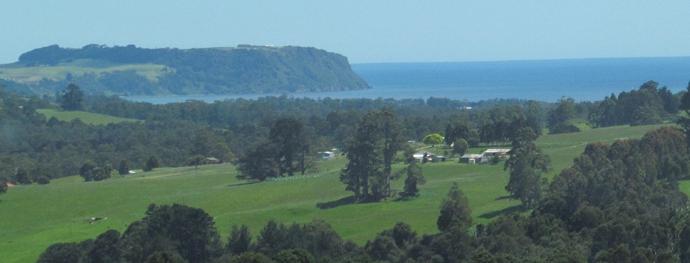
Nearing the end of the highway, I spy Table Cape jutting into the waters of Bass Strait.
Back south on Lyell Highway (A10)
Back to Highway A10 main page
Check out Queenstown
Back to Tasmania Non-Roads
Back to Non-Roads main page