New Zealand - NZ 6 - Nelson Region
Highway 6, Nelson Region
All photos were taken heading west.
The last photo was taken just past the Wakapuaka River.
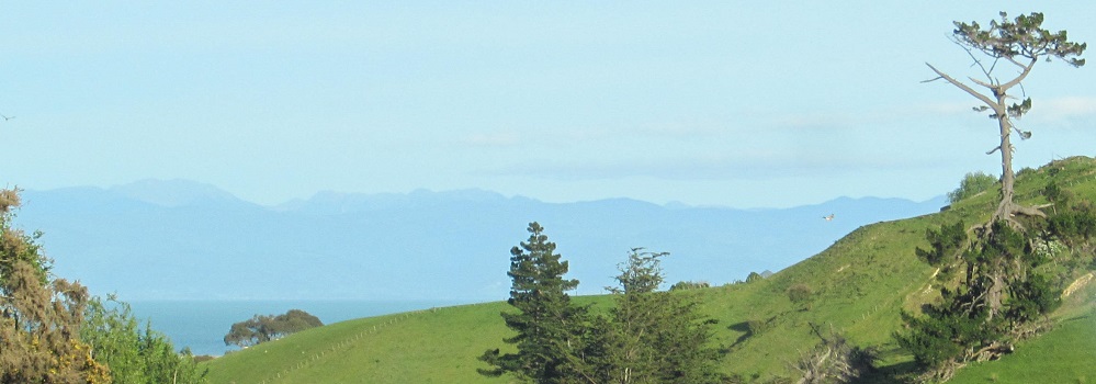
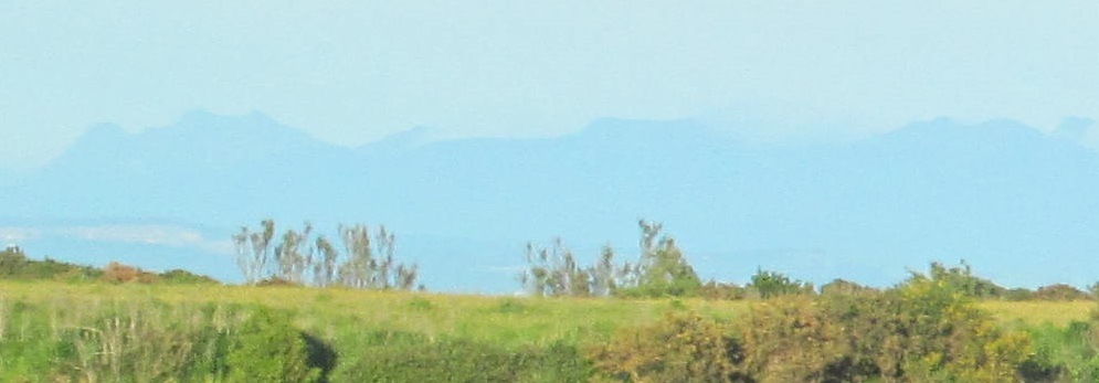
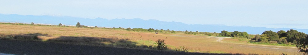
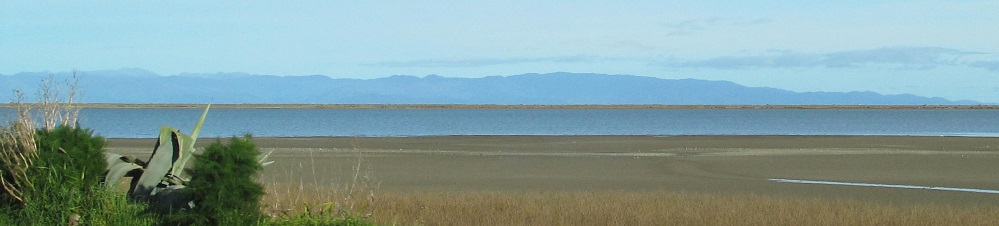
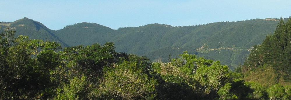
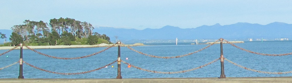
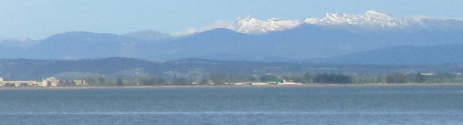
Several views of Tasman Bay (Te Tai-o-aorere) and, in the distance behind it, the Arthur Range (Wharepapa).
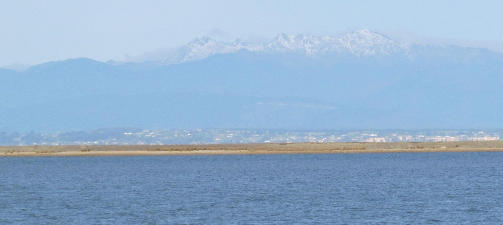
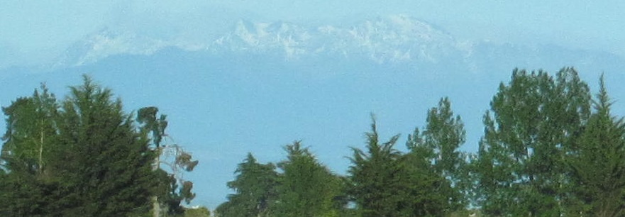
I believe this to be Mount Snowdon, in which case I'm looking one range beyond Wharepapa.
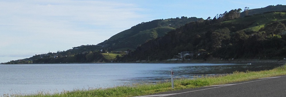
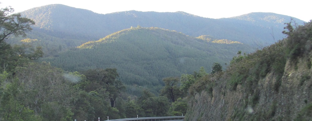
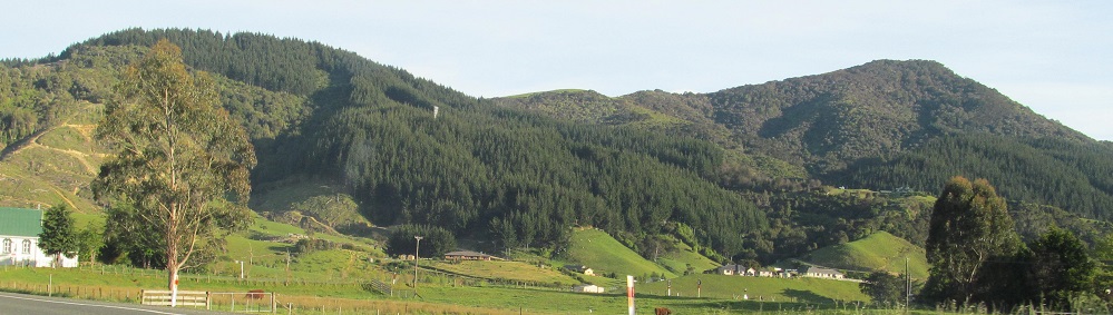
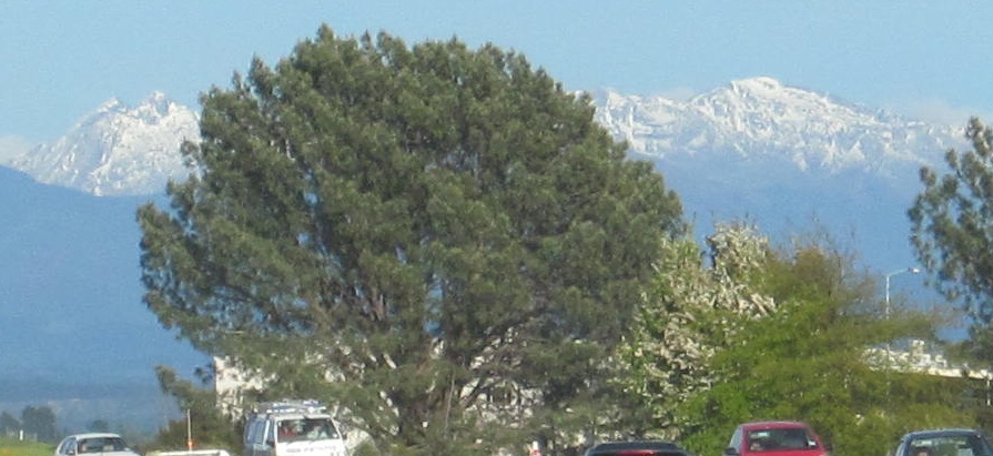
One look back north where I came from (toward Glenduan).
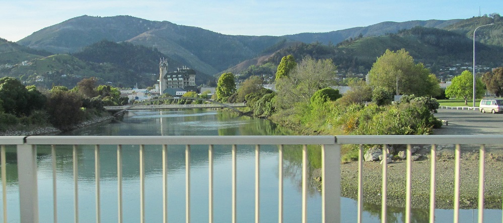
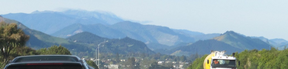
Looking east toward Nelson at the refreshing Maitai River.
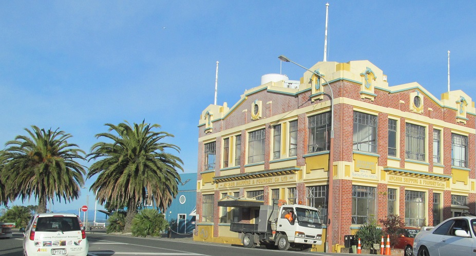
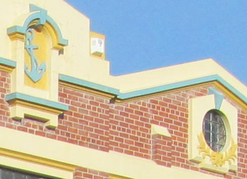
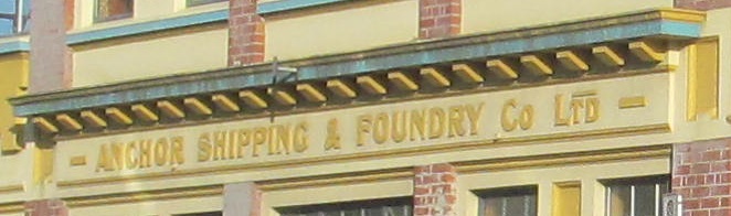
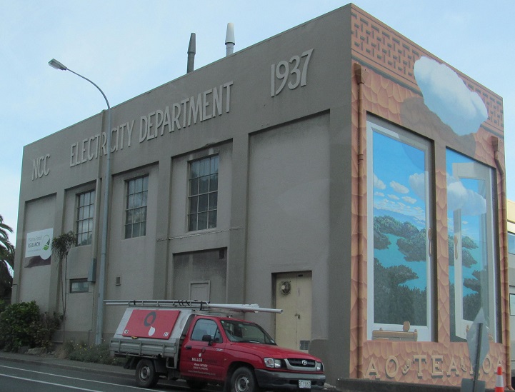
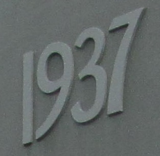
A couple of old buildings on the west side of the Port Nelson neighborhood.
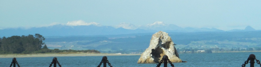
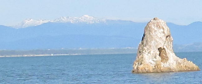
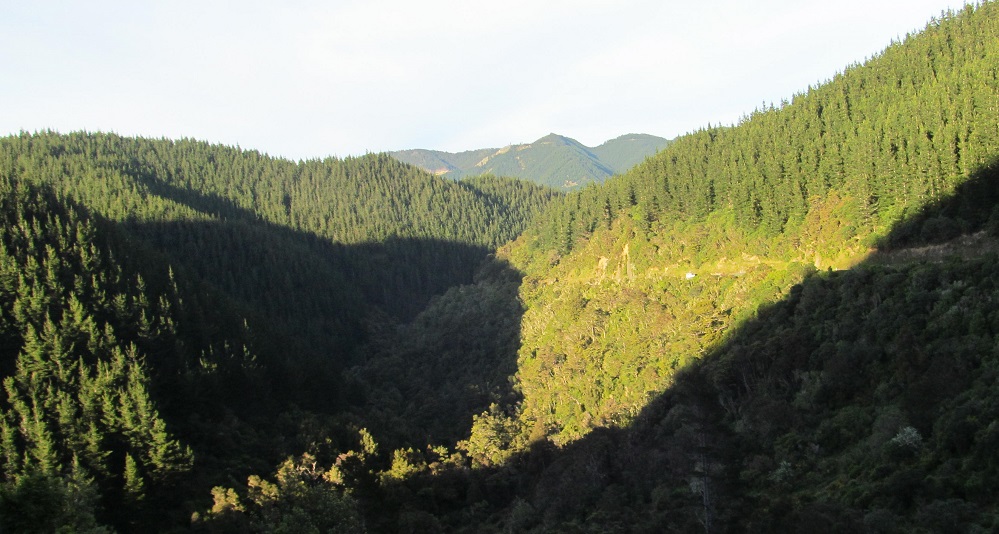
Highway 6 stays along Te Tai-o-aorere and I come across Fifeshire (or Arrow) Rock. A lot of things in New Zealand have two names, but usually they're not both in English.
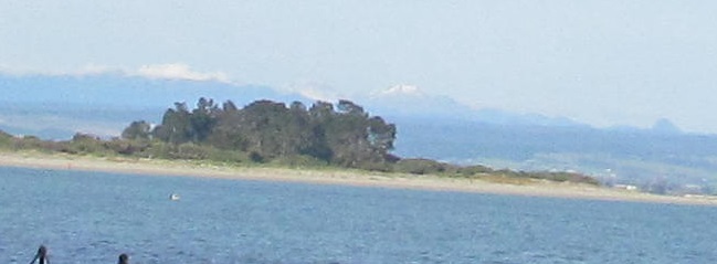
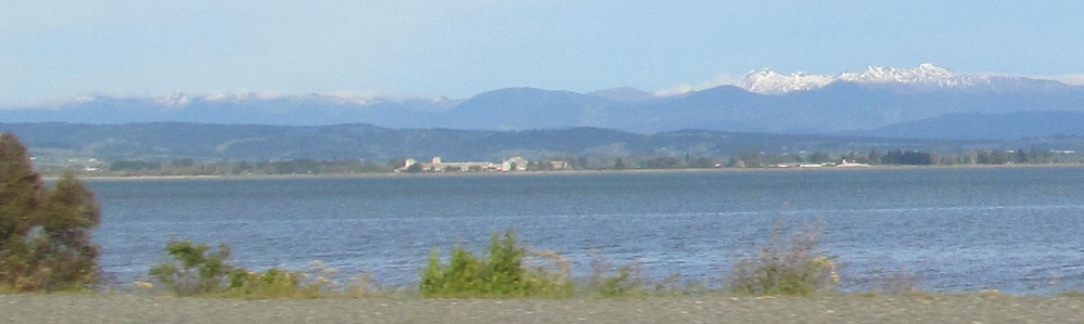
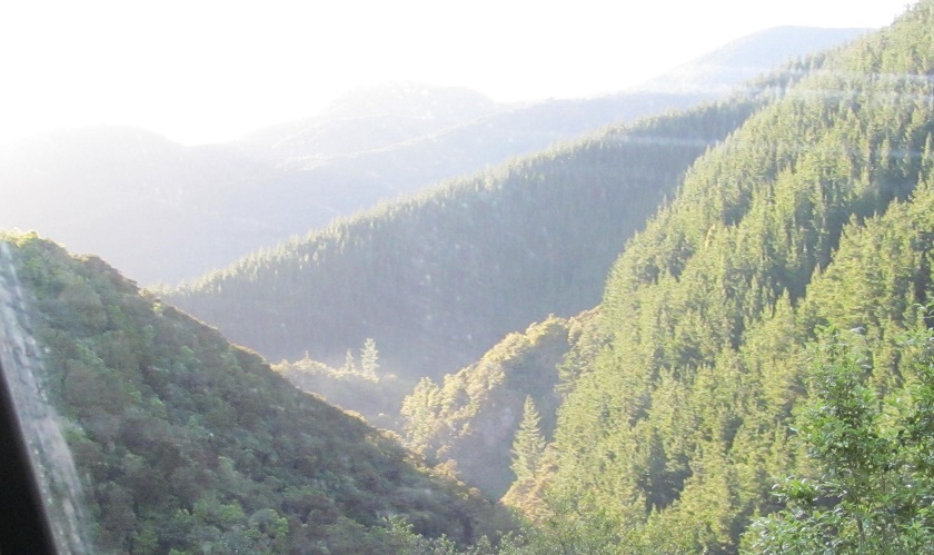
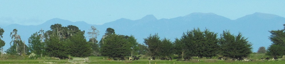
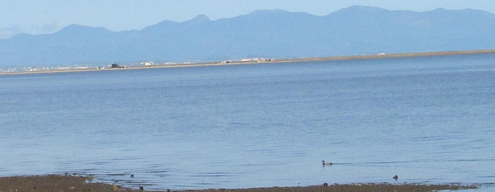
More views west before Nelson Region ends, featuring the likely Mount Snowdon once more and, if so, its companion Devil River Peak.
Continue west on Highway 6 to Tasman Region
Back east on Highway 6 to Marlborough Region
Back to Highway 6 main page
Back to New Zealand Non-Roads
Back to Non-Roads main page