New Zealand - NZ 6 - Marlborough Region
Highway 6, Marlborough Region
All photos were taken heading northwest from Blenheim.
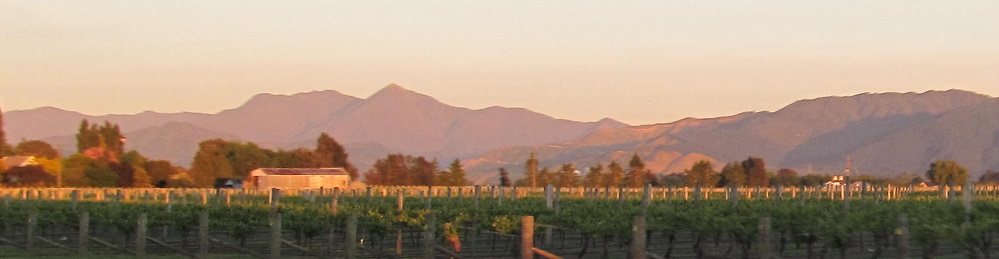
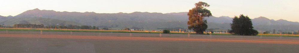
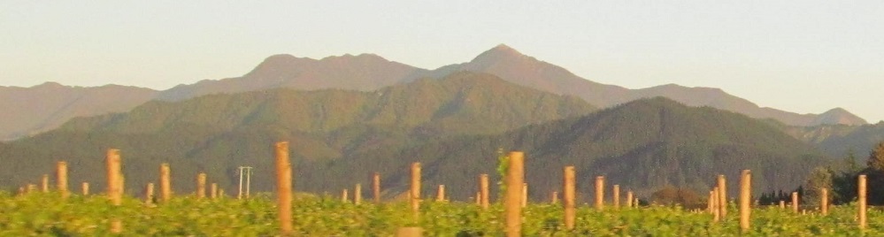
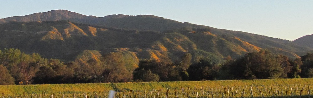
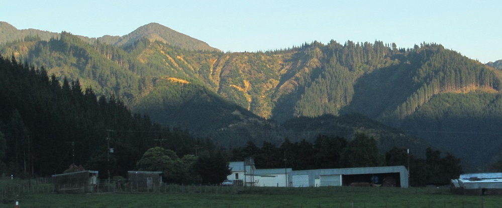
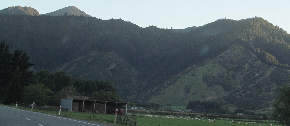
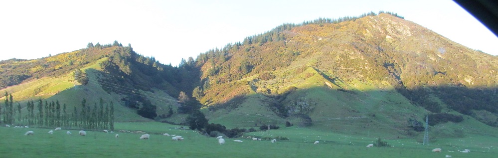
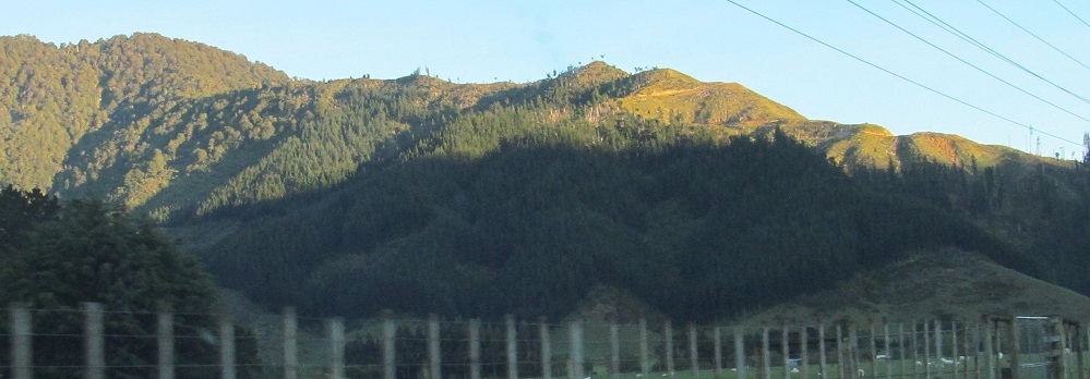
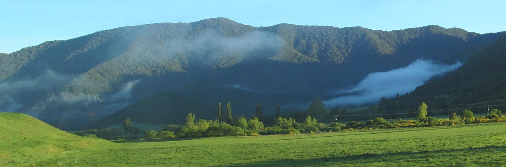
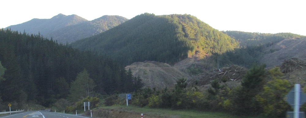
Looking north at the Richmond Range, panning from left to right.
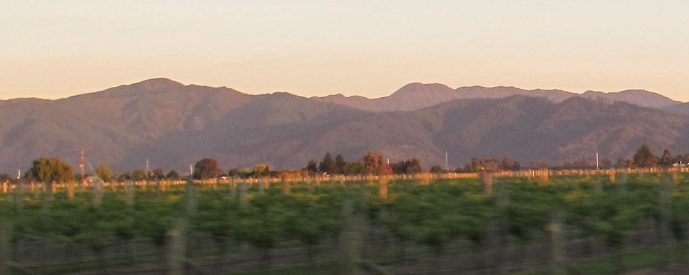
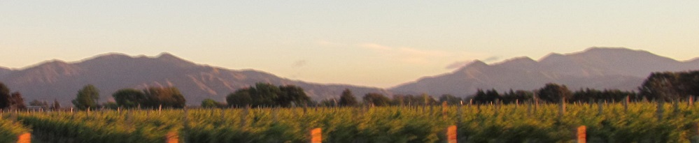
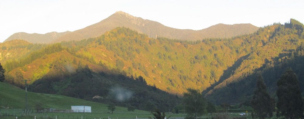
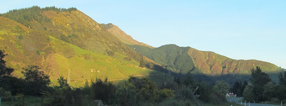
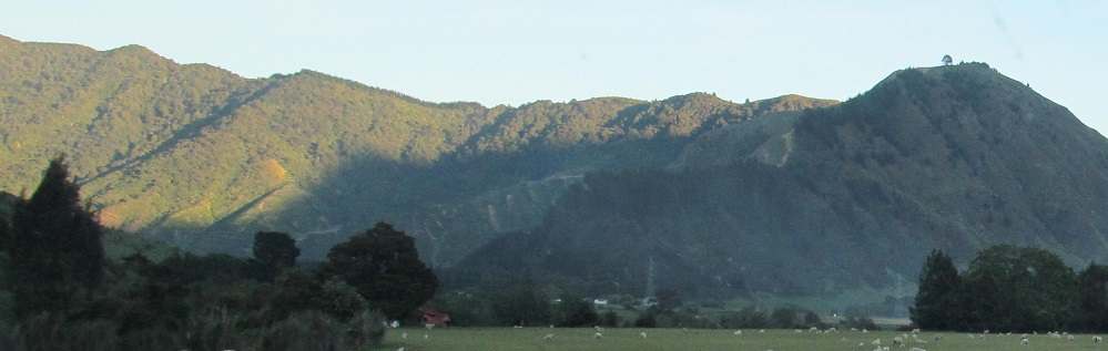
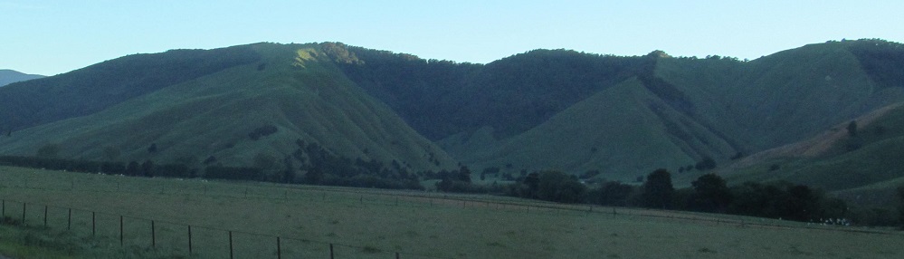
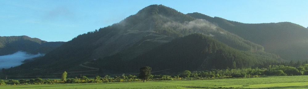
More of the Richmond Range to the west, but I won't make it that far before Highway 6 turns north.
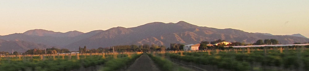
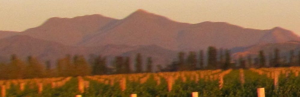
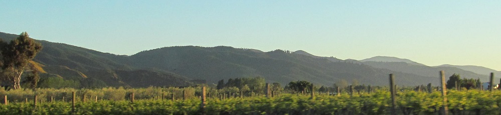
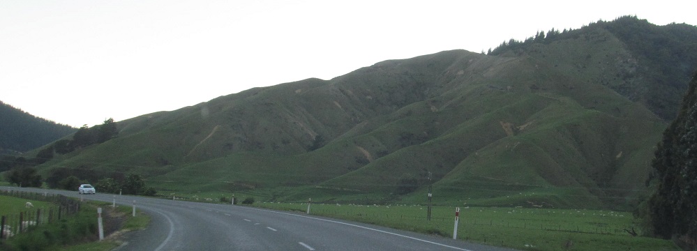
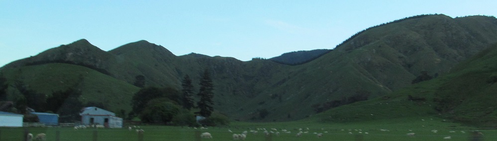
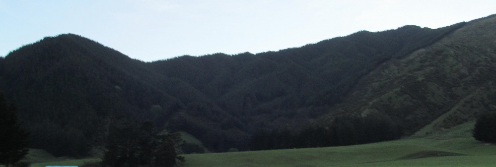
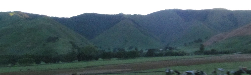
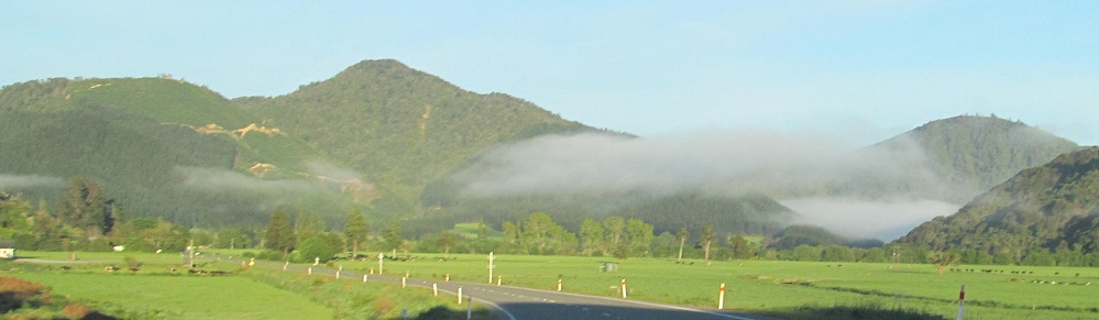
To the south, here's the tail end of the Blairich Range.
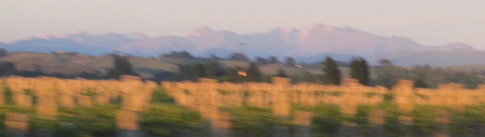
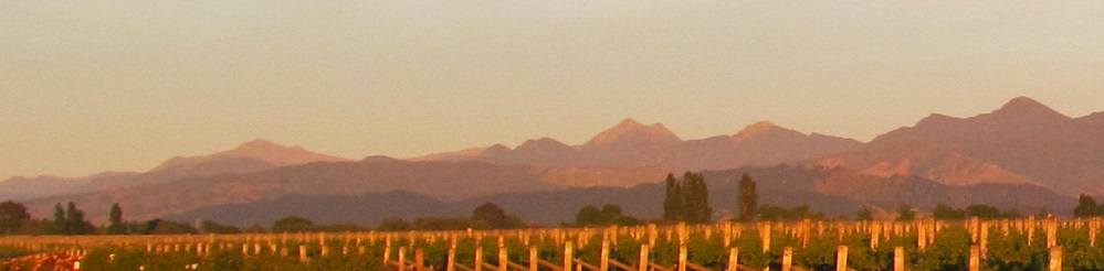
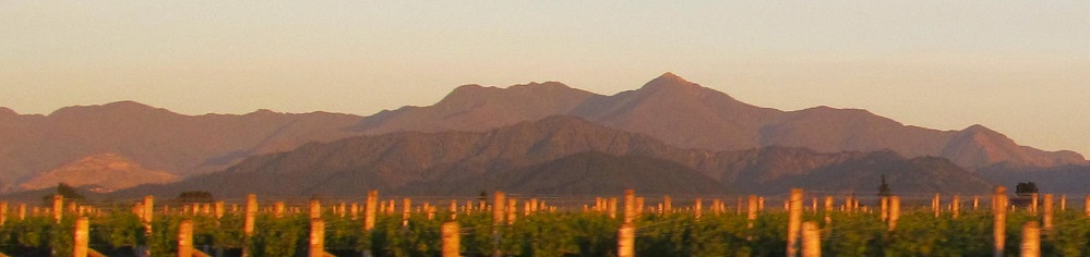
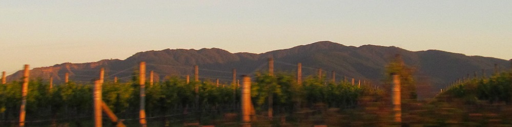
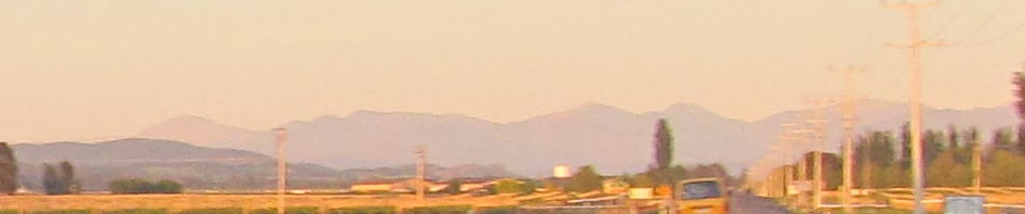
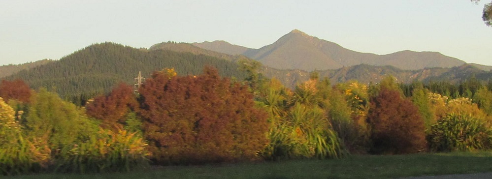
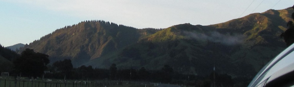
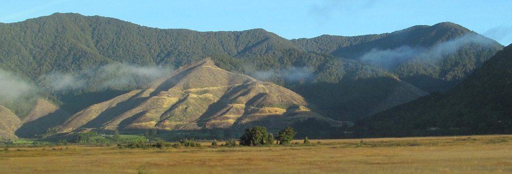
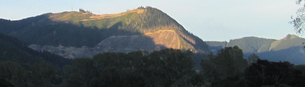
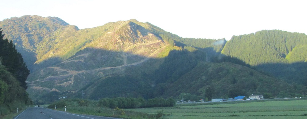
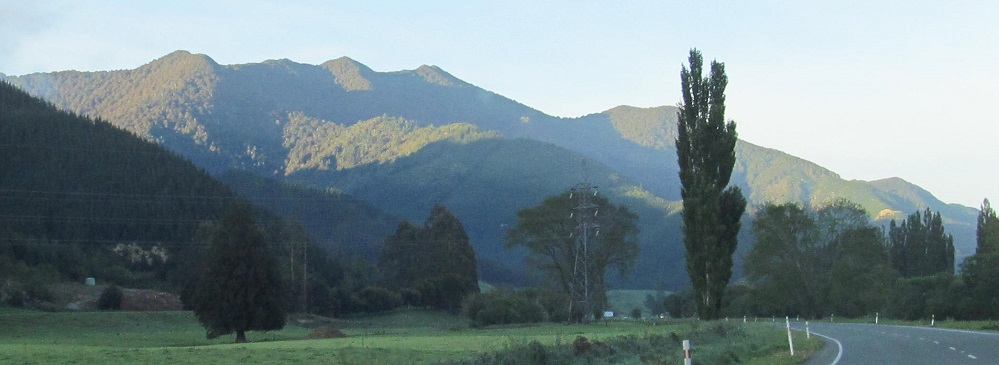
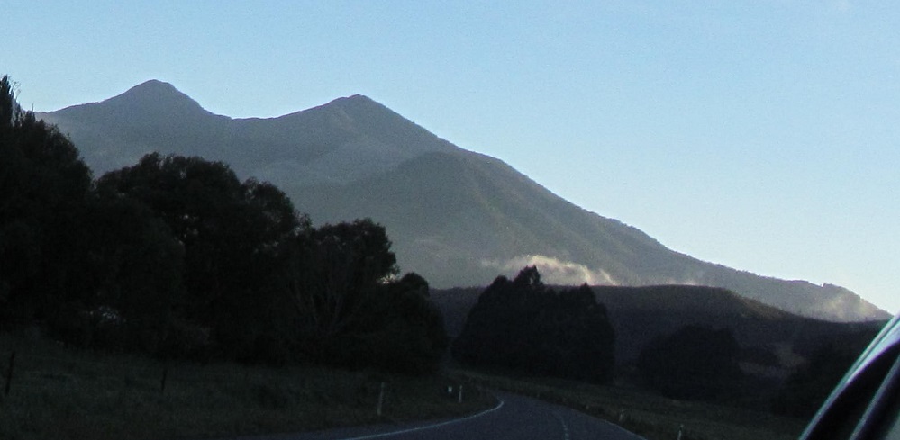
All Richmond, all the time. The last three photos pan from northwest to northeast.
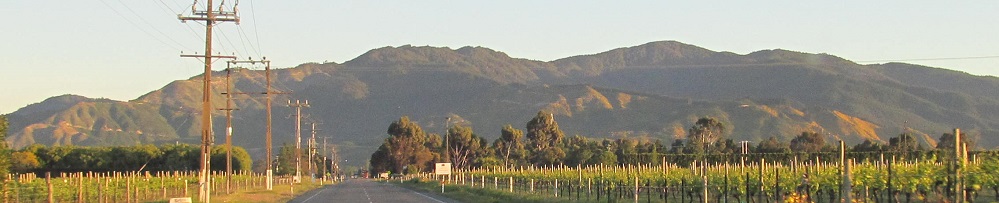
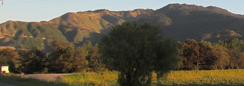
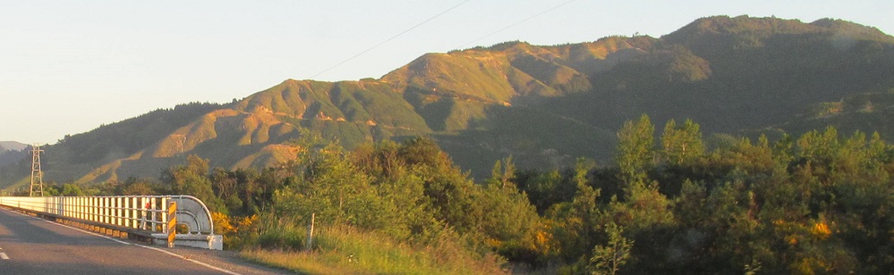
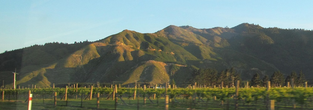
Highway 6 turns north toward the mountains in Renwick. The 2nd/3rd and 4th-6th photos form composite scenes from west to east.
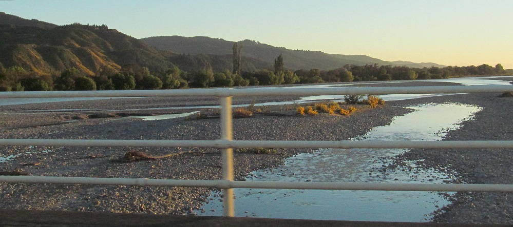
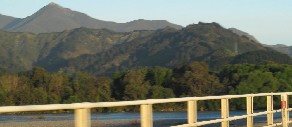
Flip that. Panning from east to west at the Wairau River.
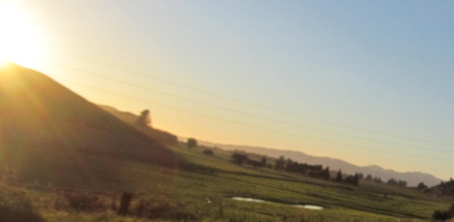
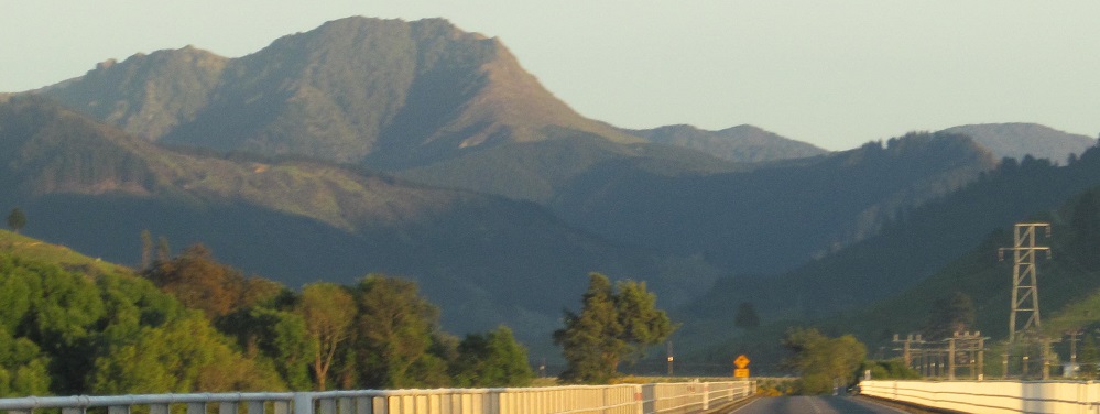
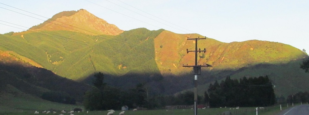
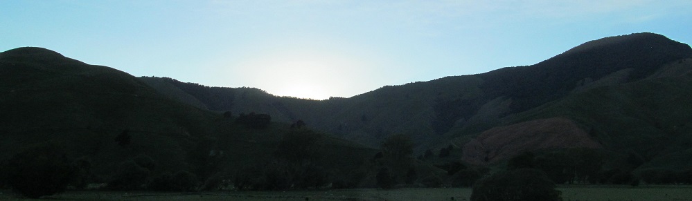
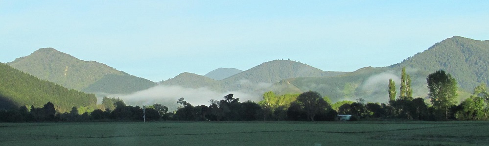
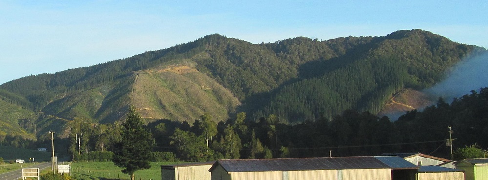
Quick look back south because even though the sun came up awhile ago, it's only just now making it over that hill.
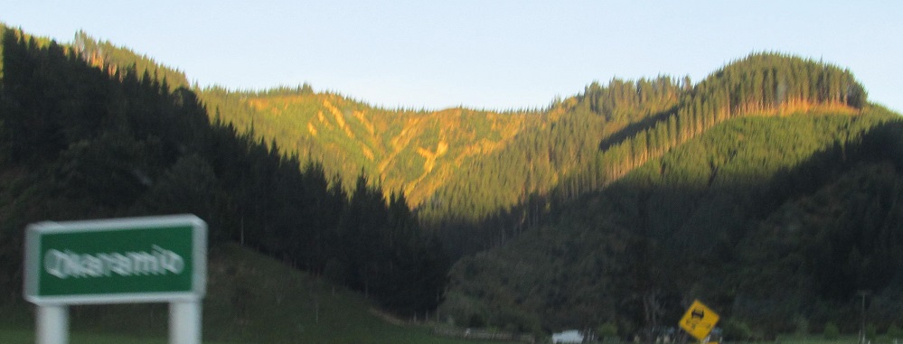
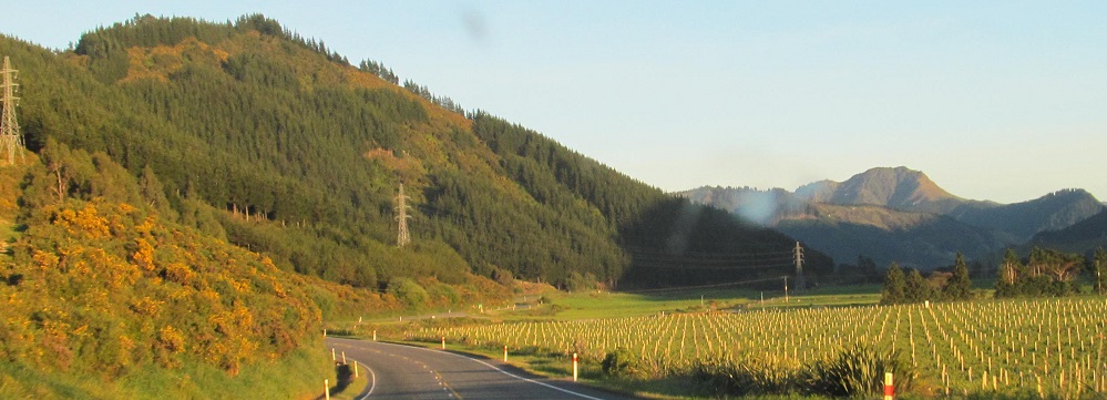
Entering Okaramio. Put the stress on the second syllable and it becomes a song. The colours are outstanding in the sunlight. Yellow courtesy the ko̅whai, New Zealand's national flower.
Dark photos look eastward (sun behind), light photos look westward (sunlit). Last photo looks back south.
That sun just doesn't want to stop hiding.
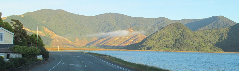
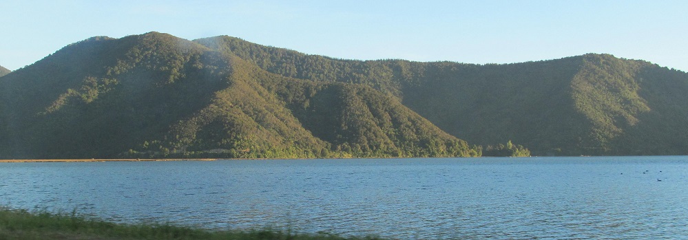
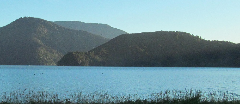
Pelorus Sound. The first 4 photos pan from northeast to southeast, and the last photo is the same hill as the first.
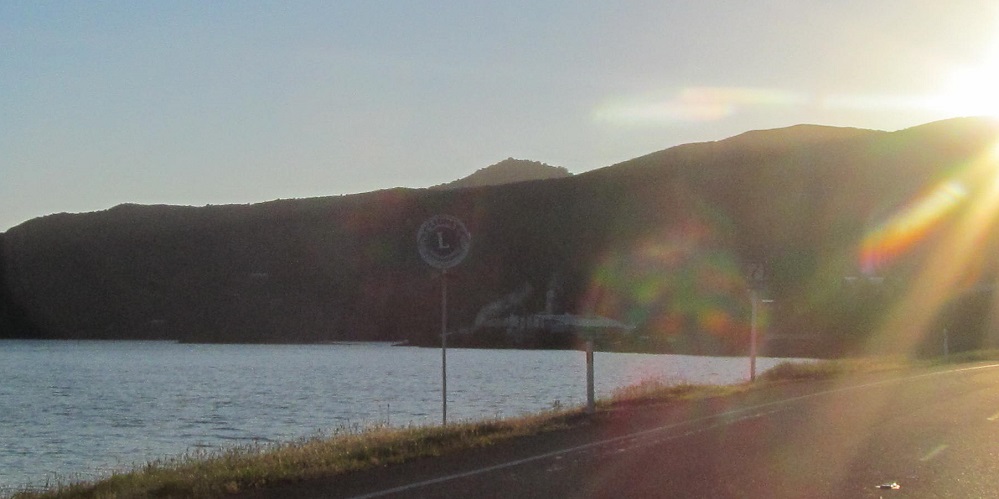
Last photo looks back south.
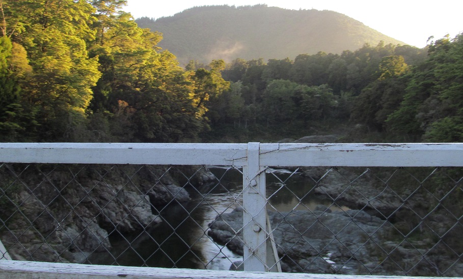
First photo looks east along the Pelorus River at Pelorus Bridge (Highway 6 has been following the river since we made it to the Sound) then continuing north to the Nelson Region via Rai Saddle.
Continue west on Highway 6 to Nelson Region
Back to Highway 6 main page
Back to New Zealand Non-Roads
Back to Non-Roads main page