New Zealand - NZ 3 - S. of Mohakatino
Highway 3 south of Mohakatino
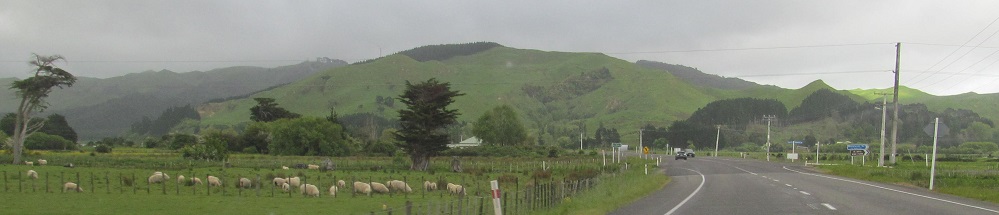
All photos were taken heading northward.
Well, actually, the highway starts out heading west for awhile. The last photo is the Manawatu River at Gorge Road.
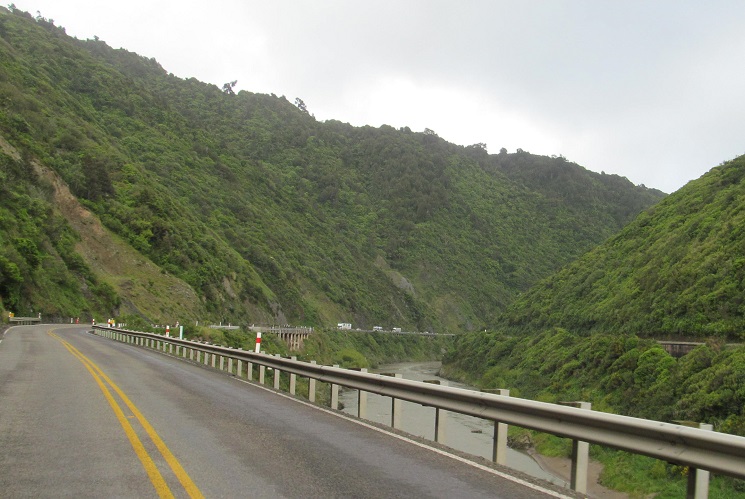
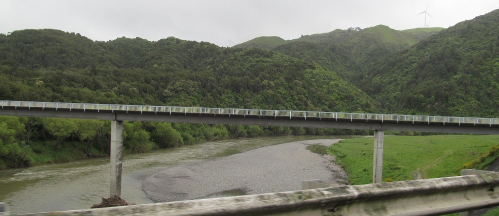
Through the Manawatu Gorge, which divides the Tararua Range to the south from the Ruahine Range to the north.
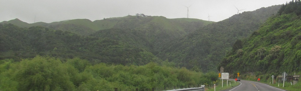
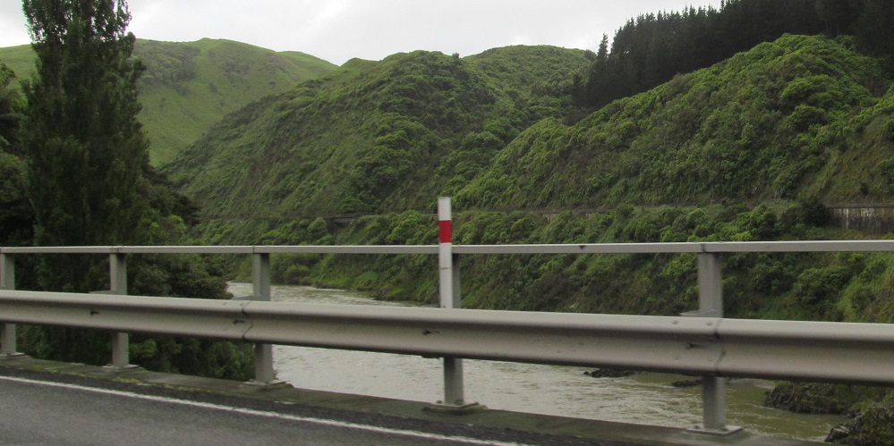
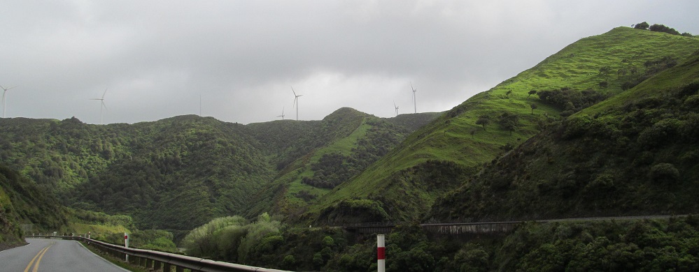
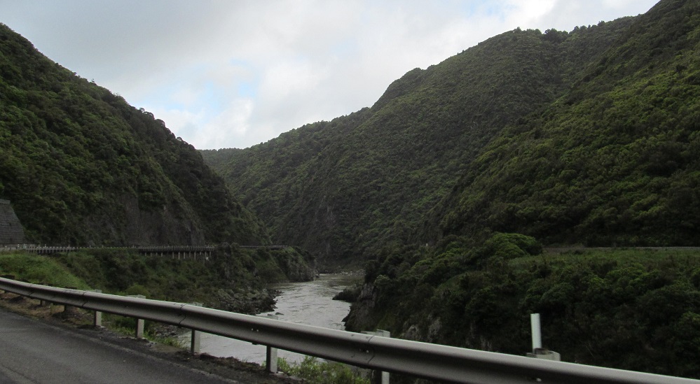
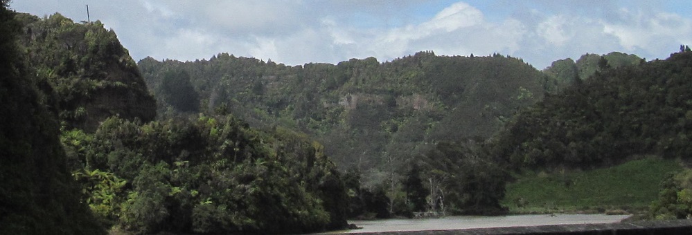
A look back east through the gorge.
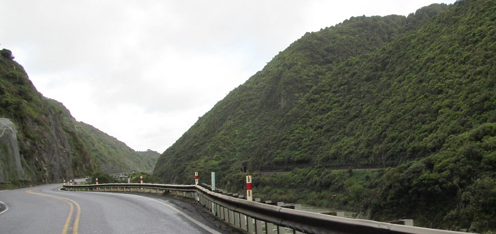
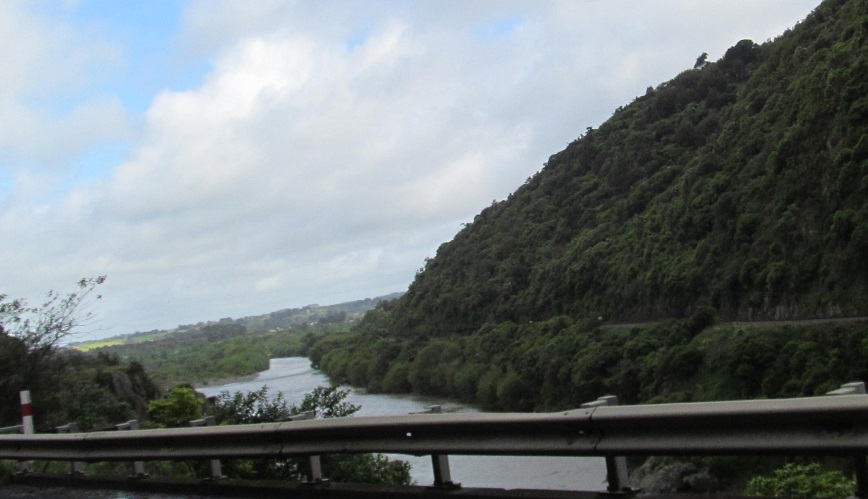
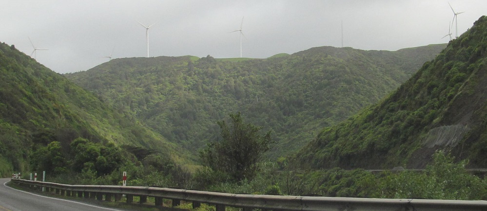
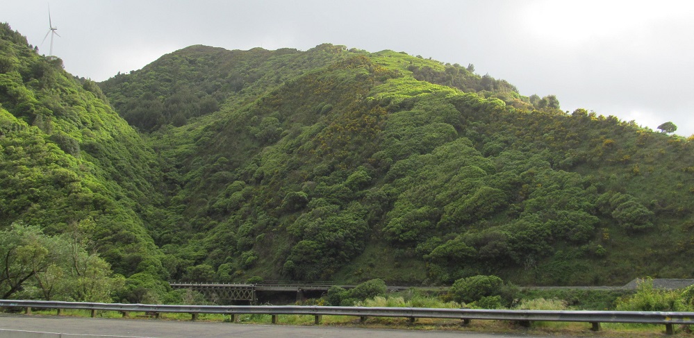
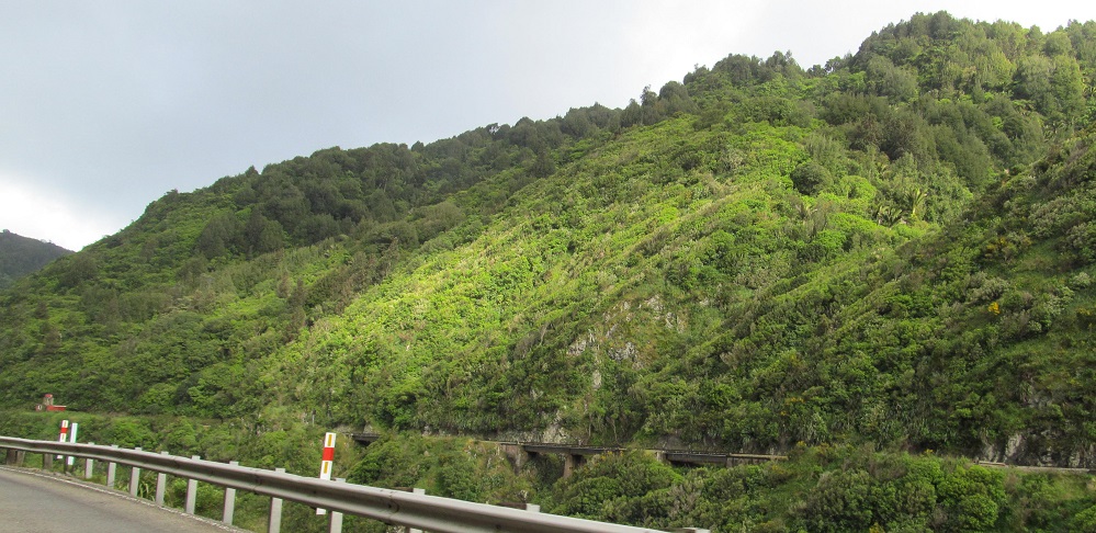
Exiting the gorge and gaining some separation from the river.
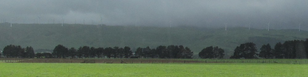
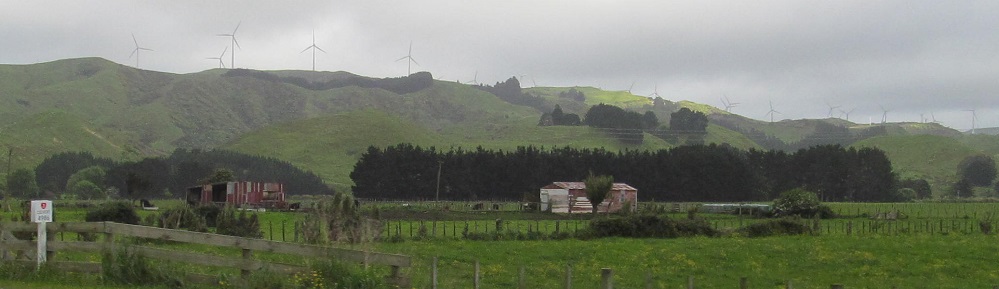
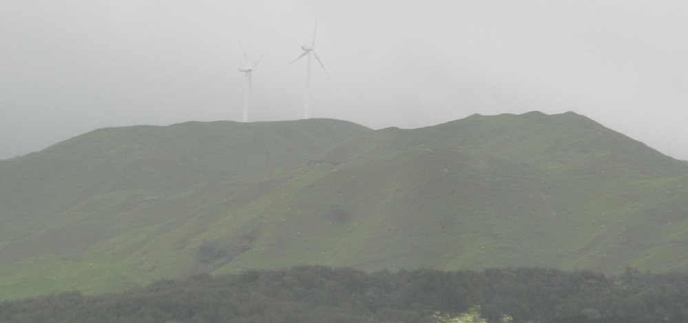
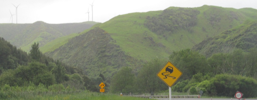
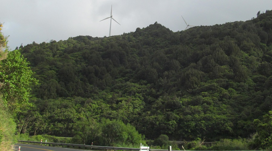
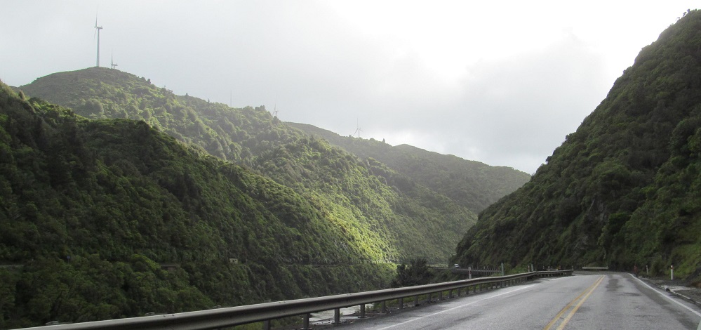
Highway 3 then turns southwest toward Palmerston North, paralleling the north end of the Tararua Range. The wind farms occupy that area along with the north side of the gorge (just south of the Ruahine Range proper).
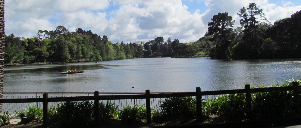
Skipping all the way west across the island, this is Lake Virginia on the northwest side of Whangerei.
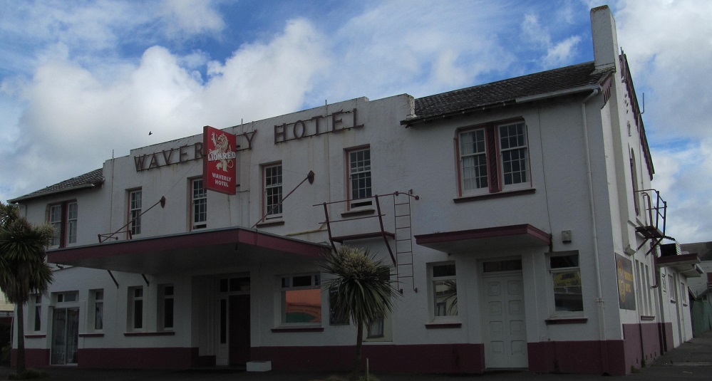
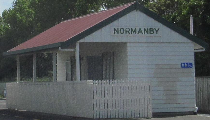
These buildings both name their towns. Highway 3 finally turns north just before Normanby.
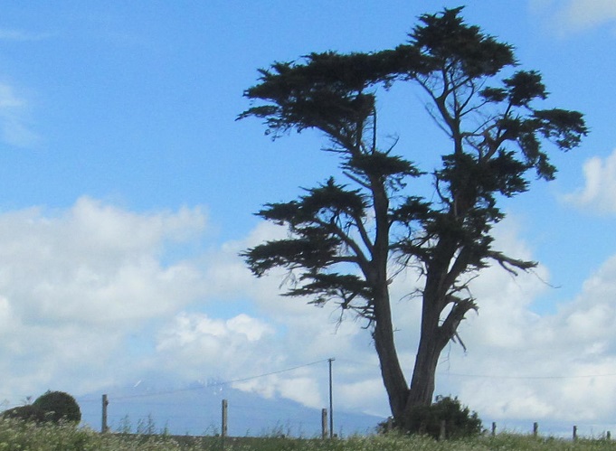
You can just see Mount Taranaki behind the tree.
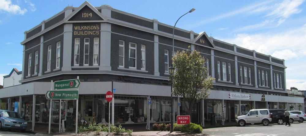
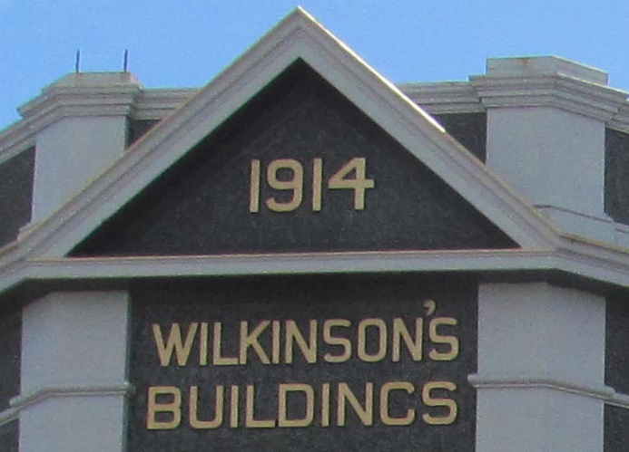
Wilkinson lived in Eltham.
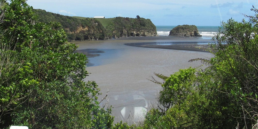
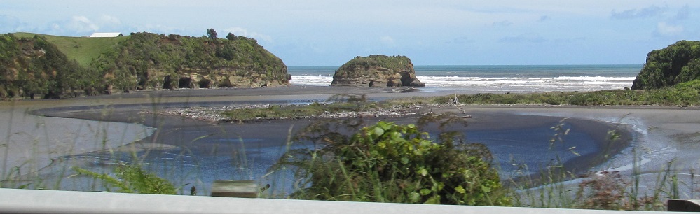
Skipping north to the coast once more, this is the outlet of the Tongaporutu River into the Tasman Sea.
Looking east along the river.
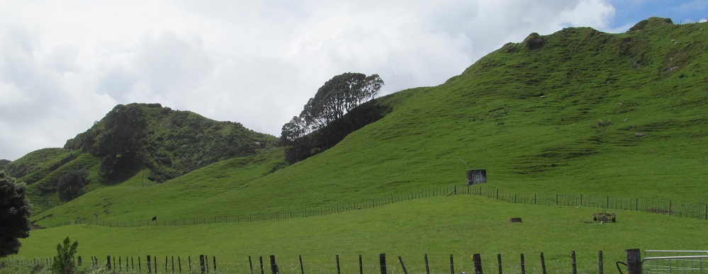
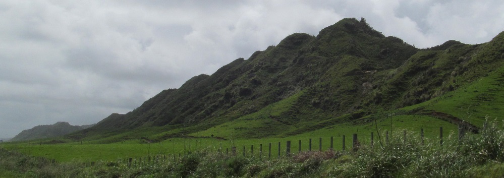
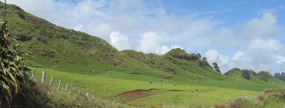
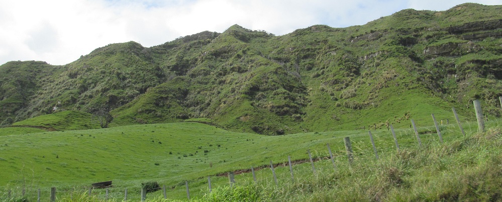
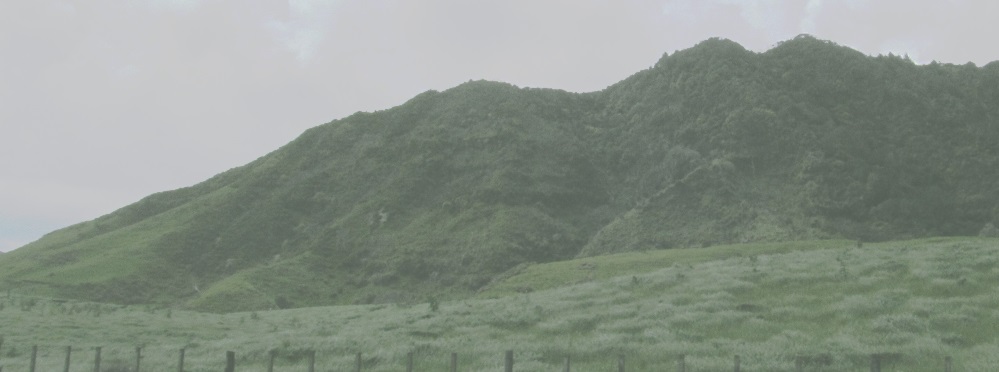
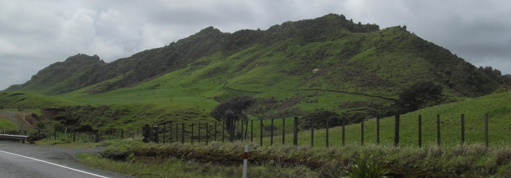
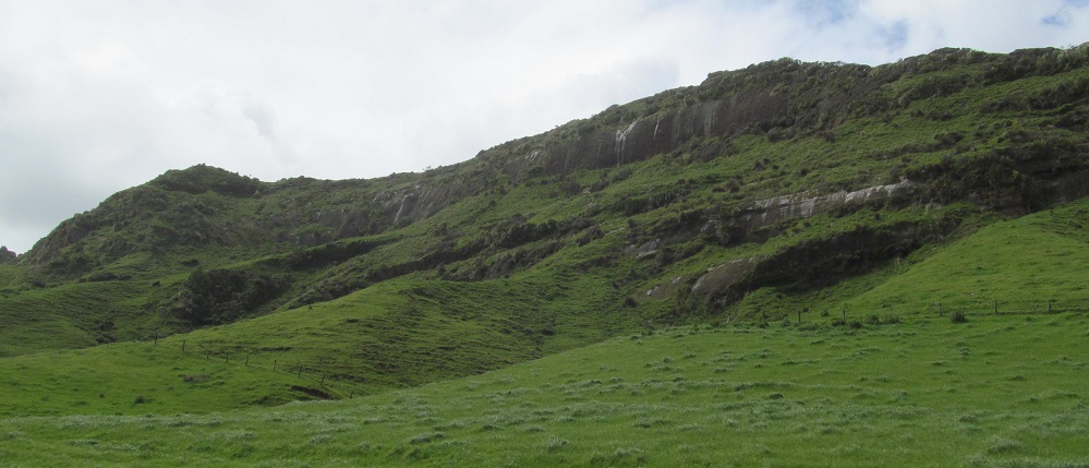
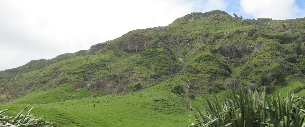
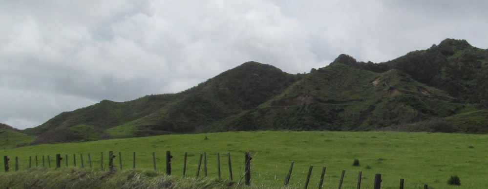
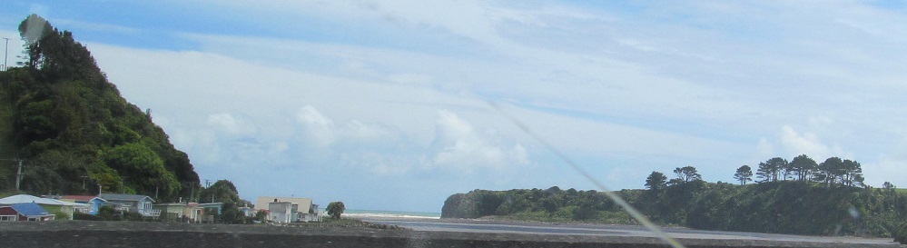
From there north to Mohakatino, the Tasman Sea is just flat blue across a strip of green land, so the scenery is on the right.
Bulls (town)
Mount Taranaki
Inglewood
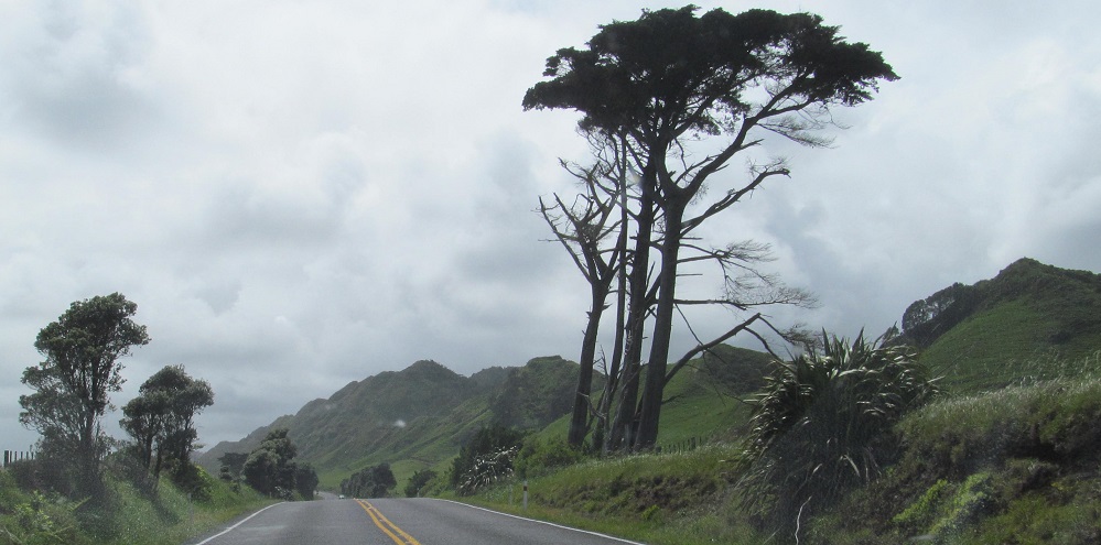
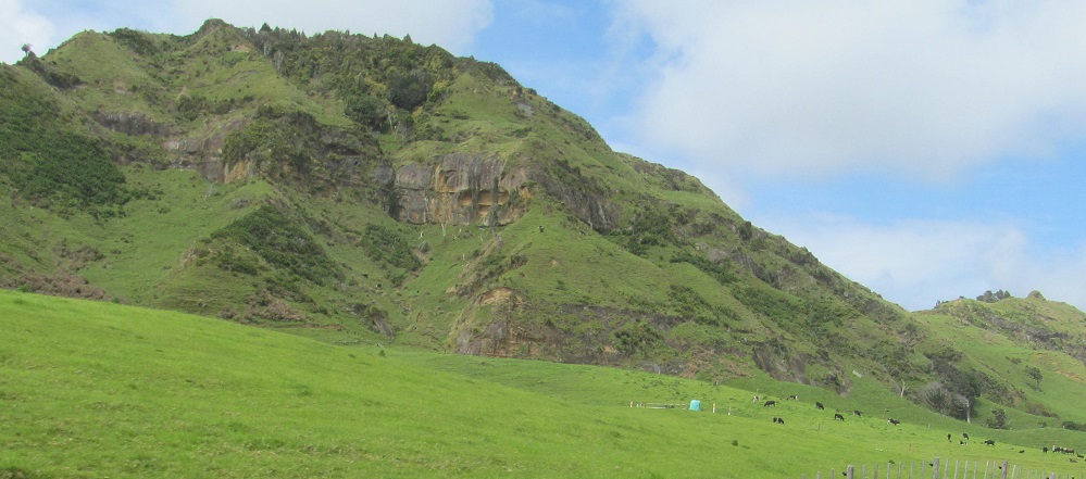
Mount Messenger
Continue north on Highway 3
Back to Highway 3 main page
Back to New Zealand Non-Roads
Back to Non-Roads main page