New Zealand - NZ 12 - S. of Omapere
Highway 12 south of Omapere
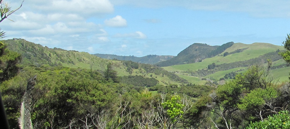
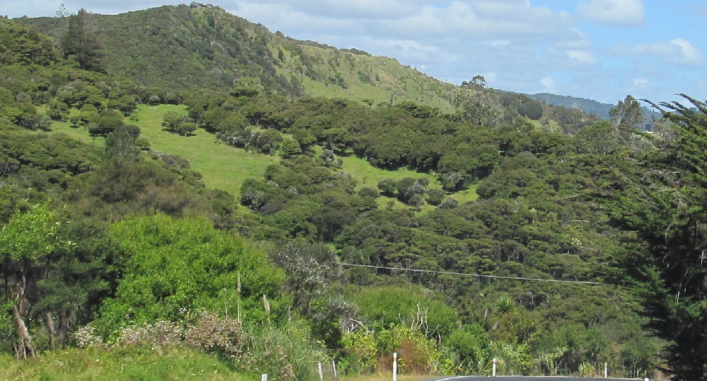
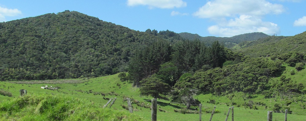
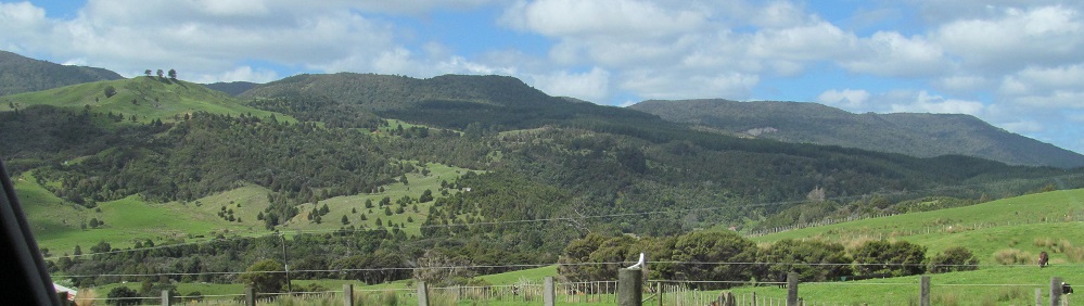
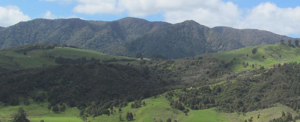
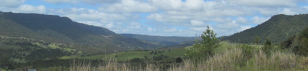
All photos are taken heading south.
The first one faces east. Go away.
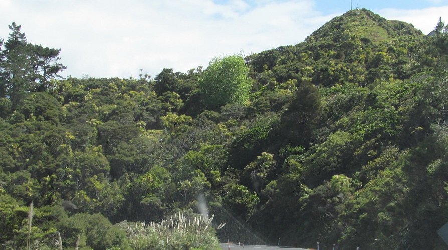
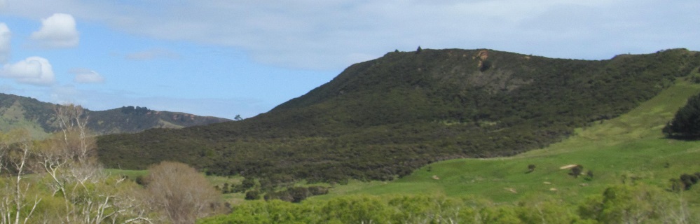
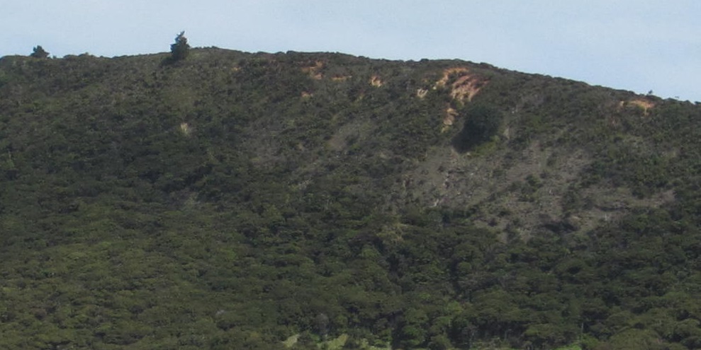
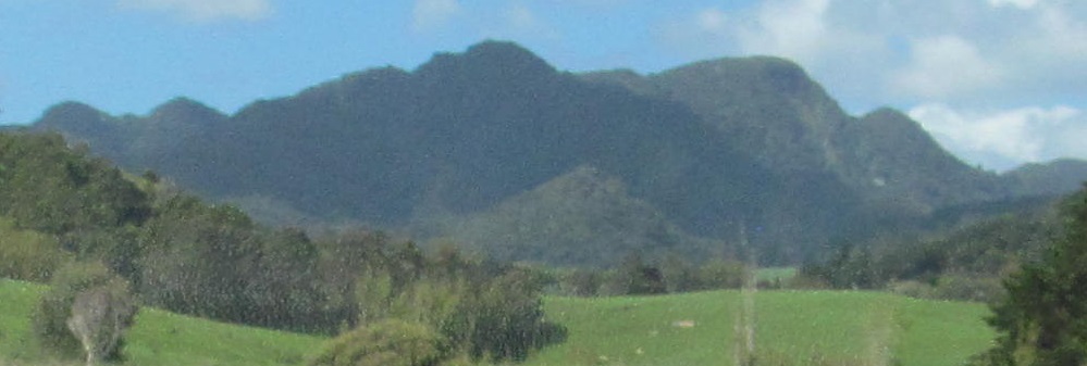
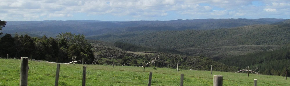
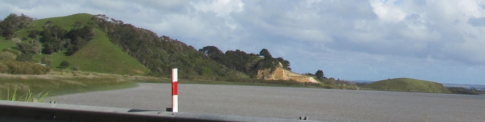
South, south, east; south, south, west (with a closeup). That's also the last photo I'll take facing west.
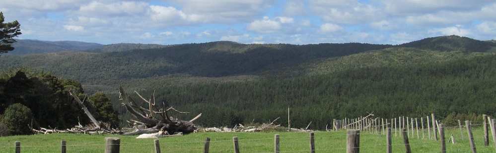
The last photo faces east after the third Waimamaku River bridge.
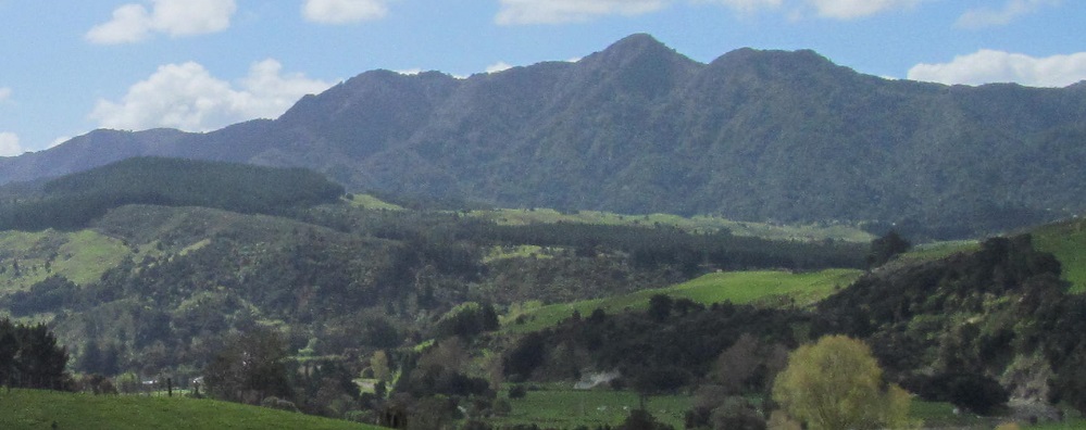
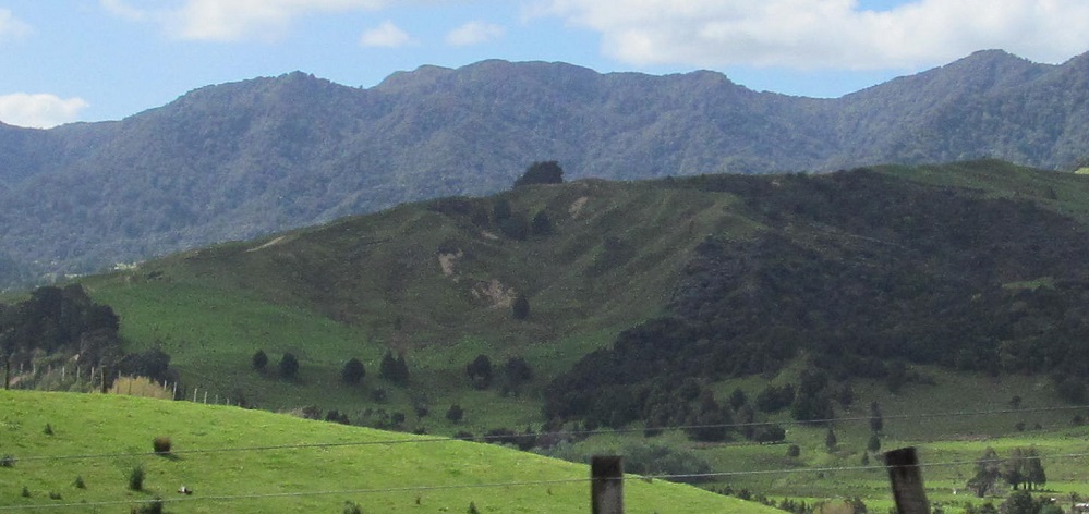
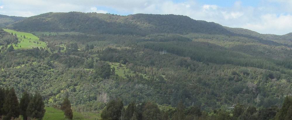
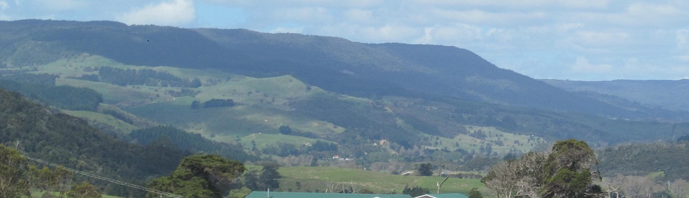
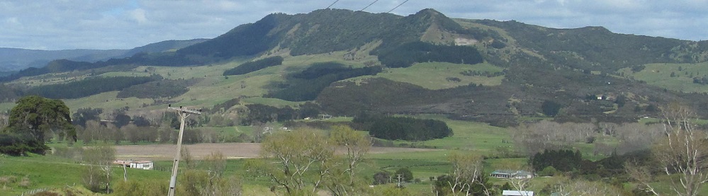
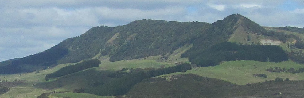
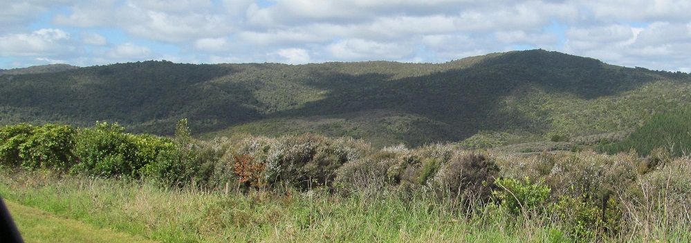
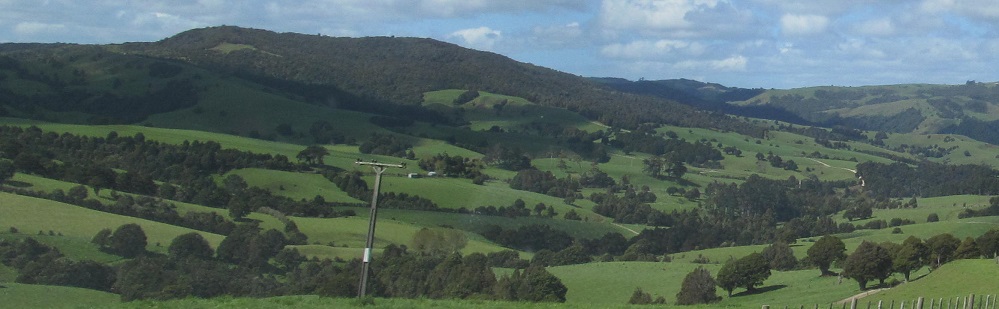
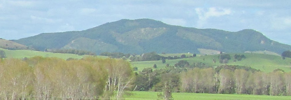
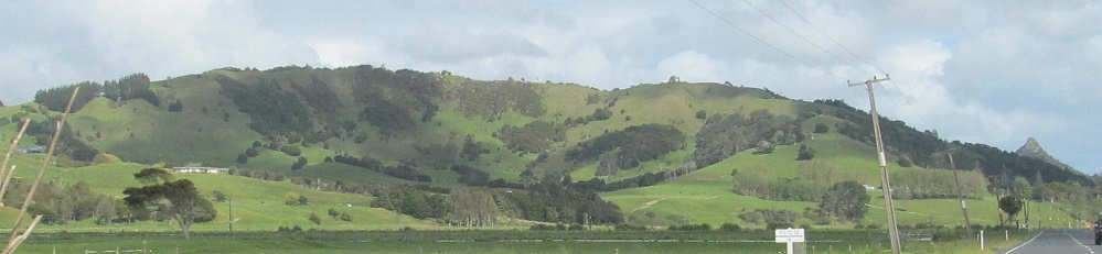
The first three photos form a panorama of sorts. All face east.
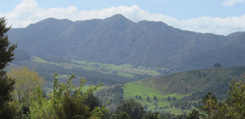
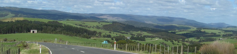
One last southward and eastward photo before I enter the Waipoua Forest - see link at bottom.
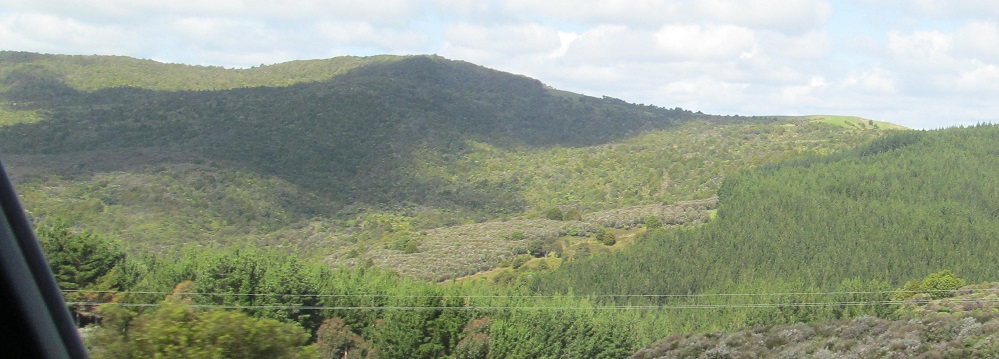
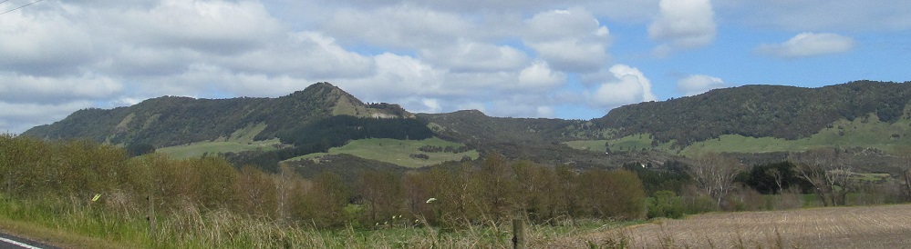
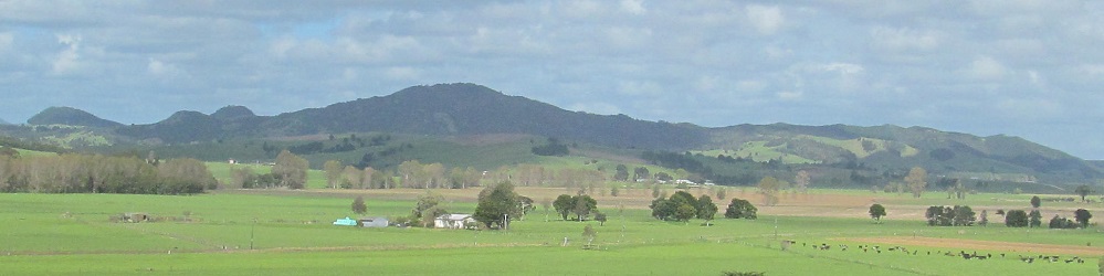
Looking to the east as I approach Aranga.
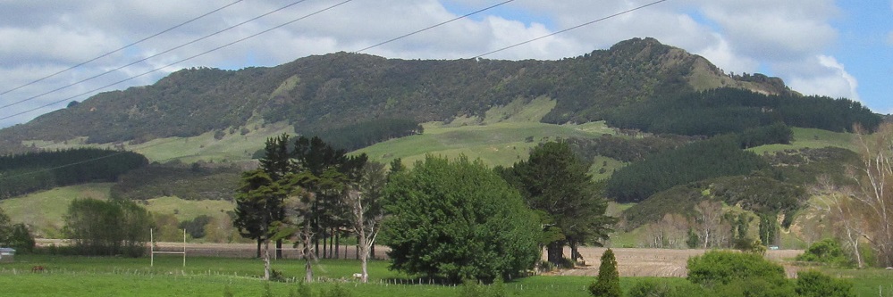
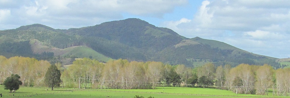
The last two photos split Aranga, which is a much larger legal municipality than the tiny settlement bearing that name.
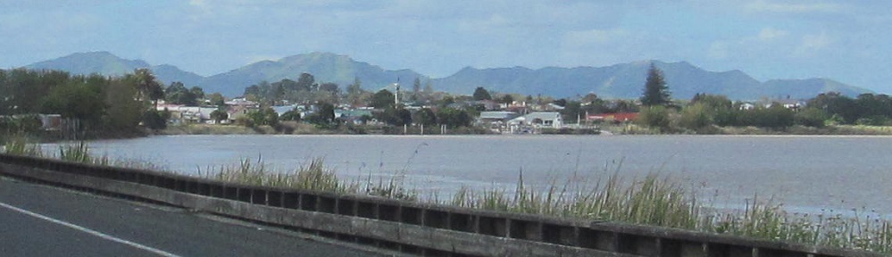
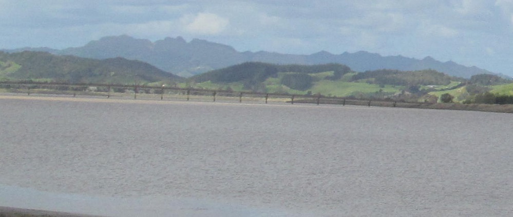
All facing east, but the last two are in Dargaville where Highway 12 briefly turns to follow the Wairoa River before finding a bridge to cross.
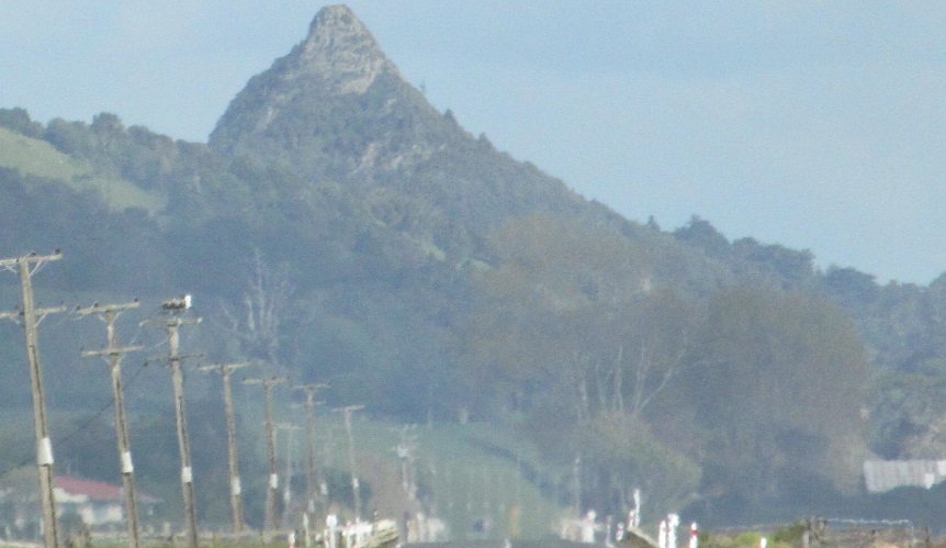
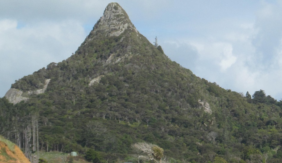
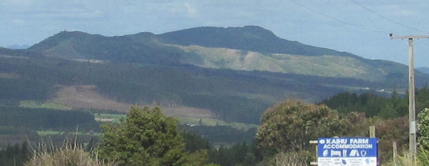
This large mound is named Tokatoka and resides in the eponymous town.
Highway 12 leaves the Wairoa River here and then turns east through resolutely boring countryside.
Highway 12 through Waipoua Kauri Forest
Back north by Hokianga Harbour
Back to Highway 12 main page
Back to New Zealand Non-Roads
Back to Non-Roads main page