New Zealand - NZ 1 - Manawatu-Wanganui Region
Highway 1, Manawatu-Wanganui Region
All photos are taken heading south.
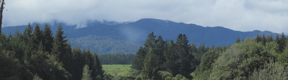
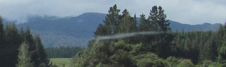
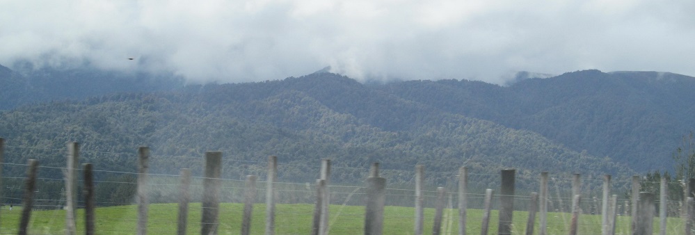
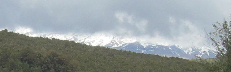
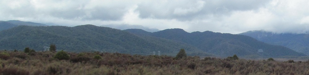
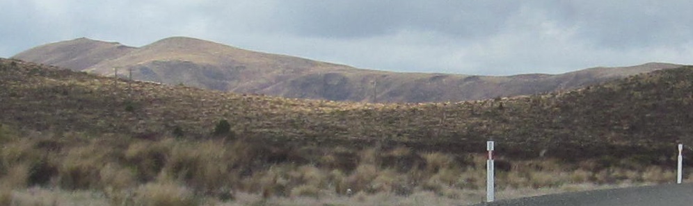
Passing by the west side of the Umukarikari Range, whose highest and most scenic points are obscured by clouds behind the foothills.
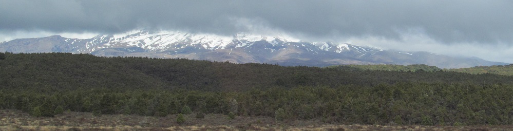
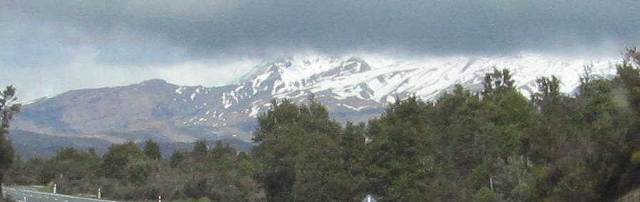
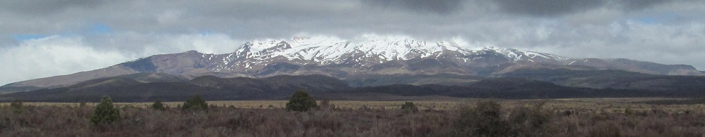
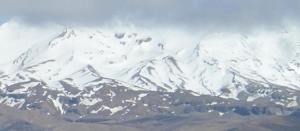
Continuing south, I obtain a glimpse of snow-capped peaks as I enter Tongariro National Park. What lies ahead?
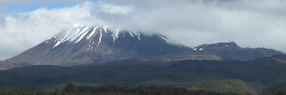
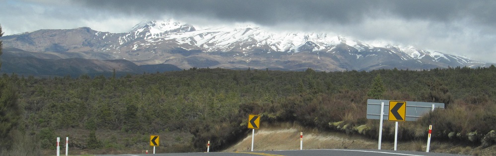
To the left (east), the foothills of the Kaimanawa Mountains. To the right (southwest), Mt. Ruapehu, a multi-peaked volcanic cone nearly 2.8 km in height. Behind me (northwest), the single cone of Mt. Ngauruhoe, no slouch at 2,287 m.
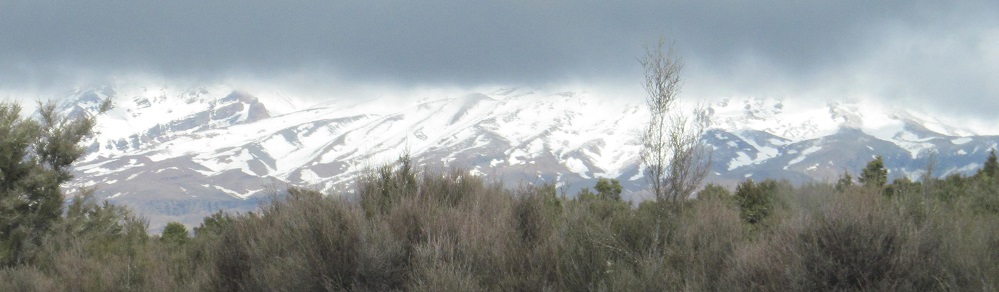

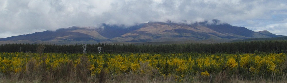
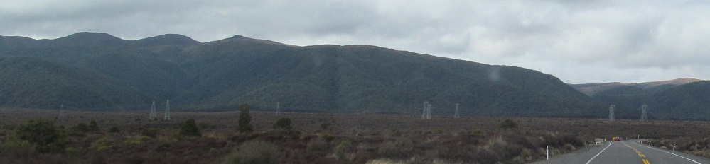
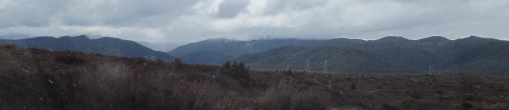
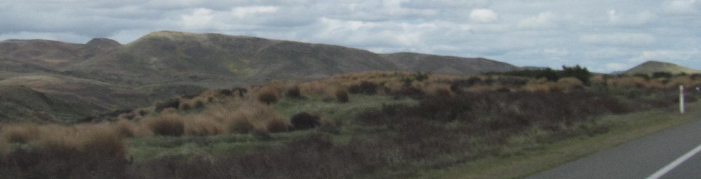
More westward views, and one more look behind me.
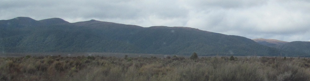
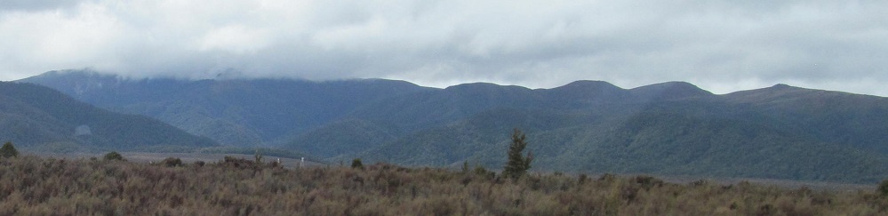
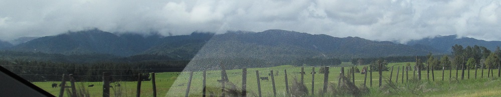
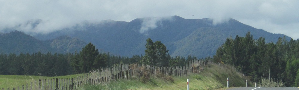
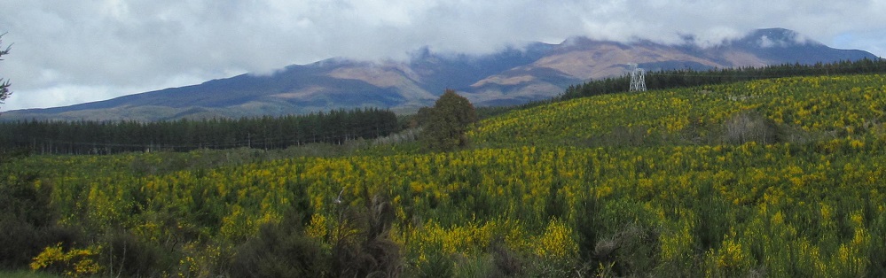
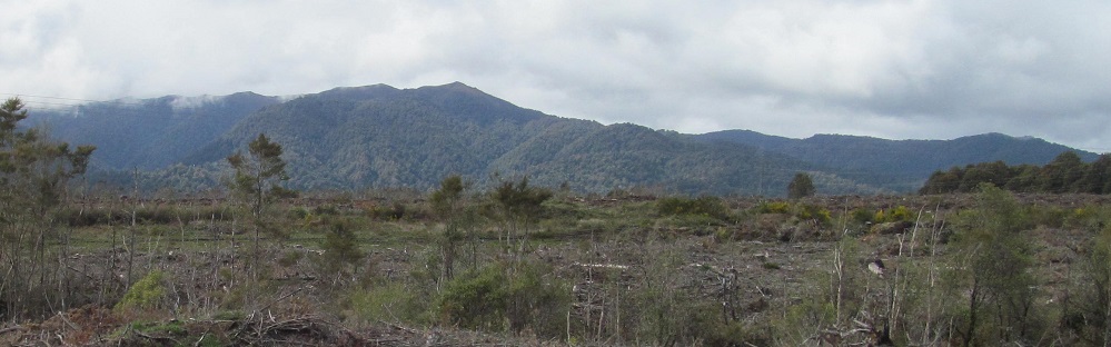
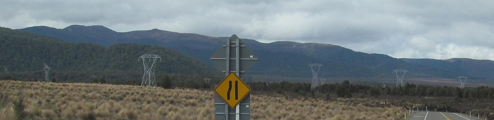
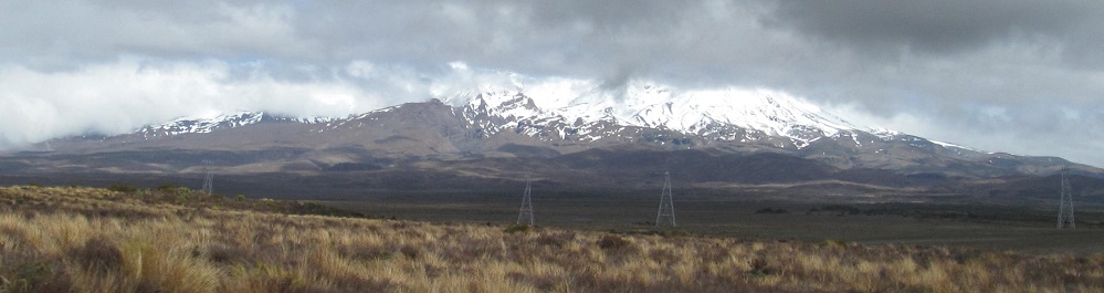
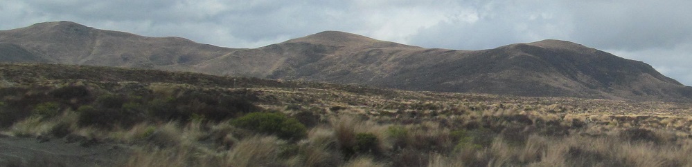
More eastward views of the comparatively uninteresting Kaimanawa Mountains.
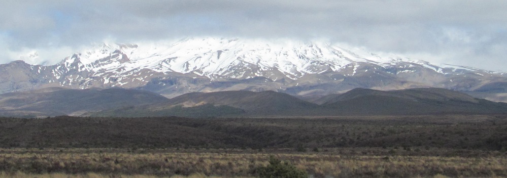
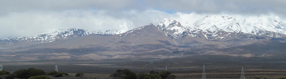
Plenty more Ruapehu to soak in.
Scenery steadily changes from dark green forests and brown heather to light green meadows as I head past Waiouru.
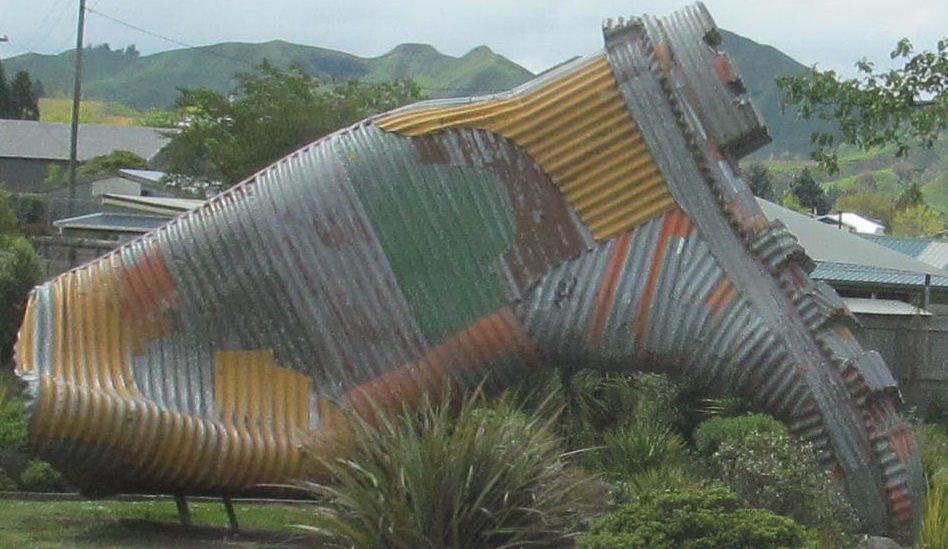
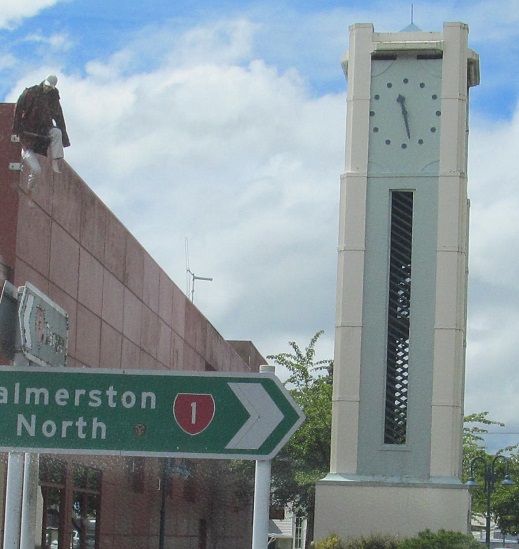
Taihape hails itself as the Gumboot Capital of the World, so it greets you with a gumboot, and then presents you with a man attached to a building. Only one Big Thing is never enough.
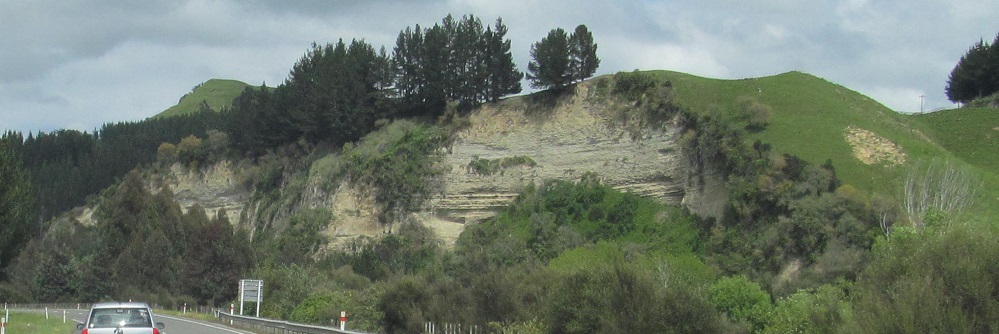
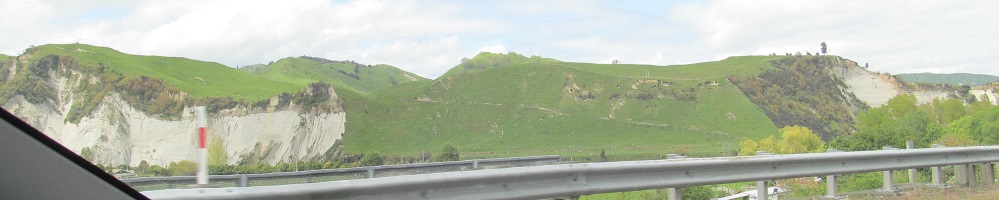
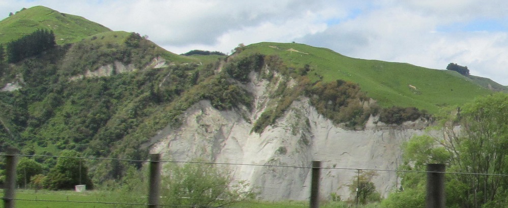
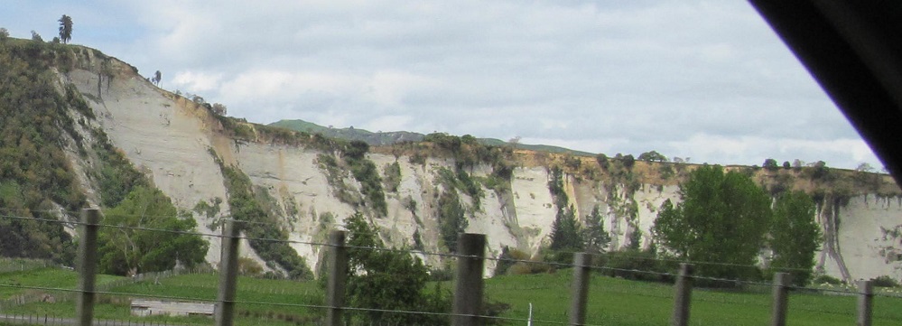
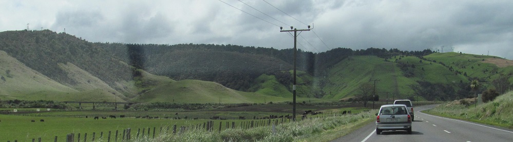
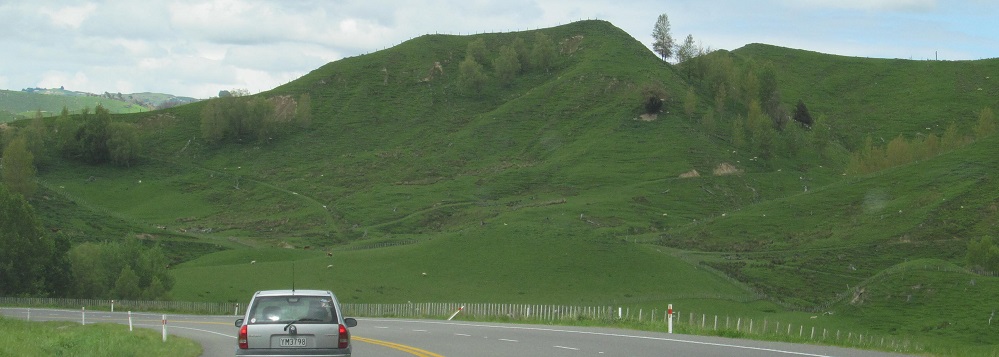
Highway 1 follows the Rangitikei River south of Utiku, where the Hautapu River that was following 1 meets the Rangitikei. It erodes away sandstone hills to leave interesting formations.
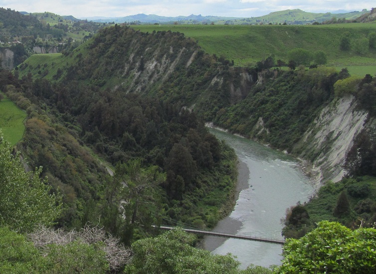
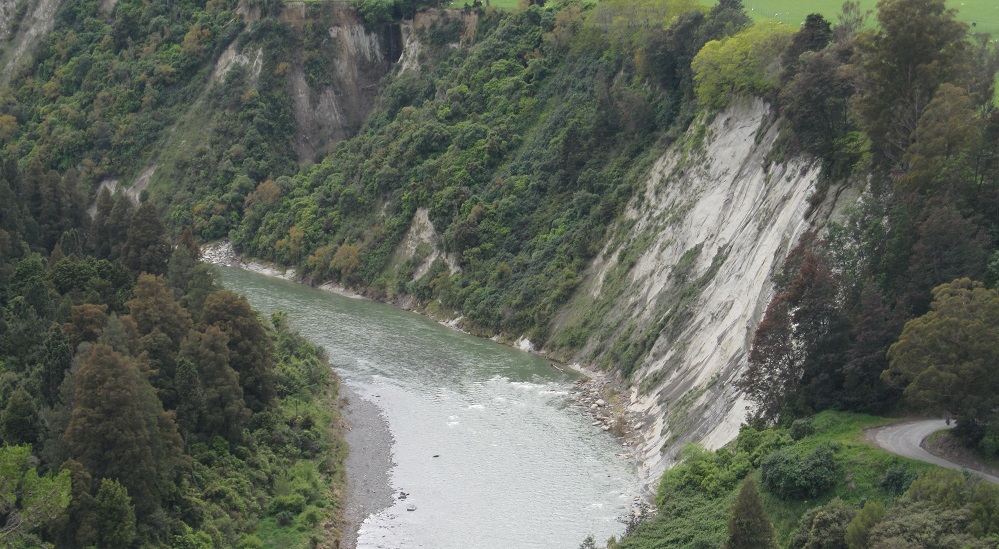
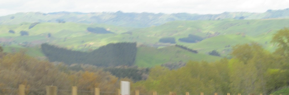
Looking east from the Mangarere Rest Stop south of Mangaweka, affording the best view of the river along Highway 1.
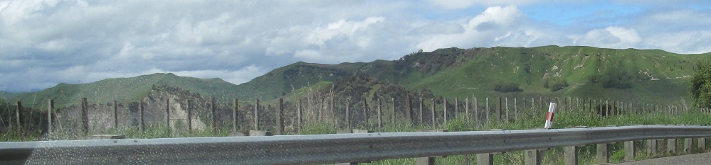
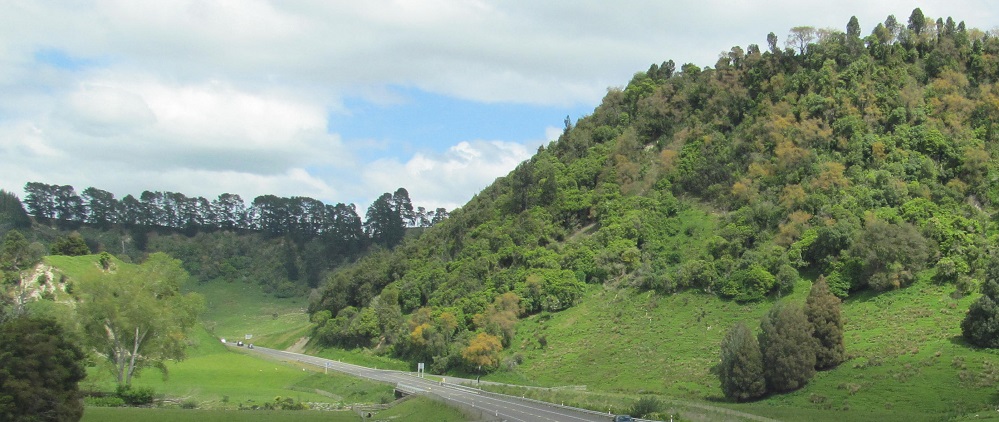
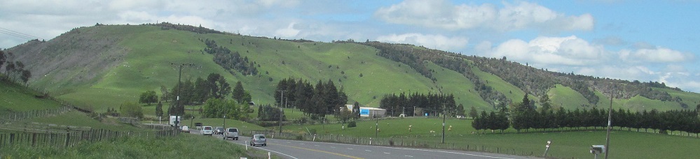
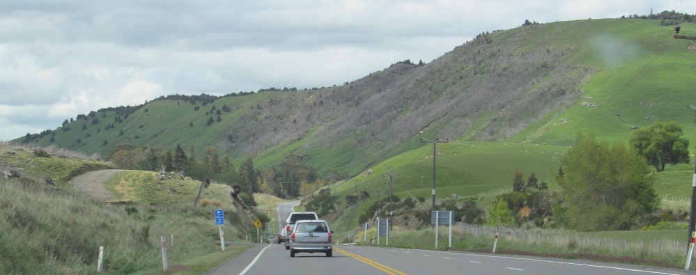
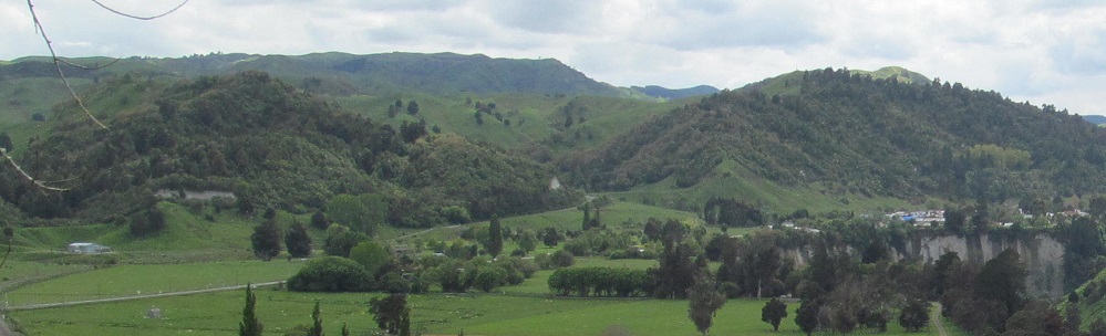
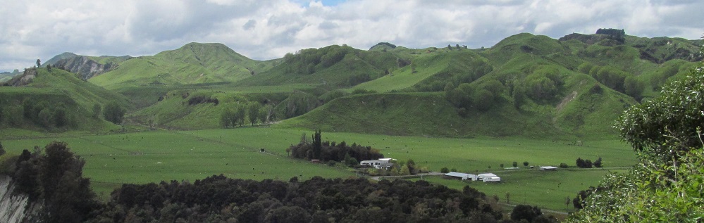
Continuing south past Ohingaiti.
Bulls (town)
Continue south on Highway 1 to Wellington Region
Back north on Highway 1 to Waikato Region
Back to Highway 1 main page
Back to New Zealand Non-Roads
Back to Non-Roads main page