New Zealand - Interislander - Misc.
Interislander Ferry - Misc. Scenery
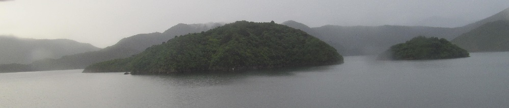
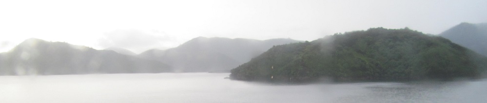
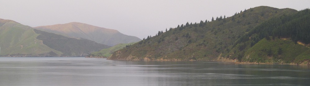
When the ship left Picton and started sailing north through Queen Charlotte Sound, this was the only scenery I thought I'd capture. The first photo is Allports Island and a smaller, unnamed sibling to the north, and by the last photo I'm looking south at Kahikatea.
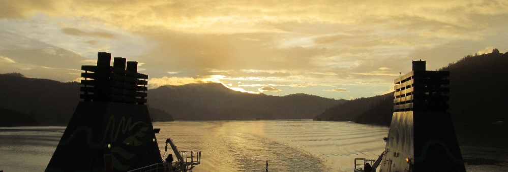
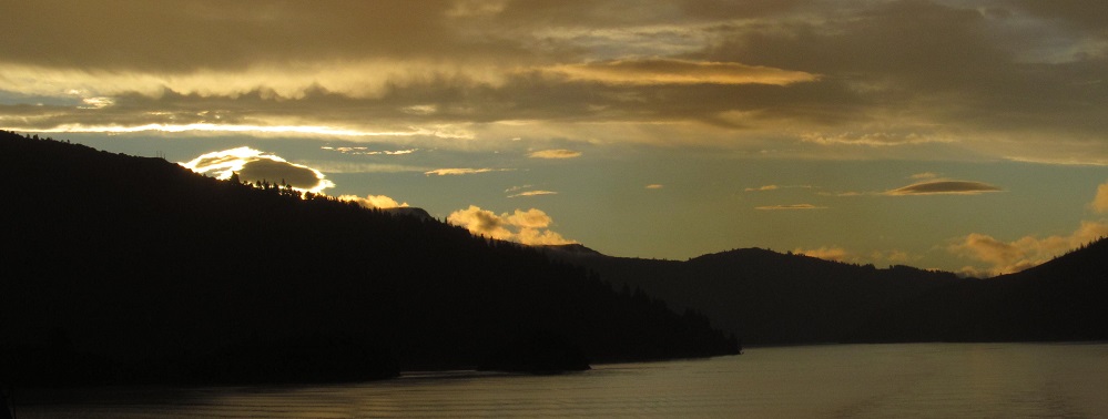
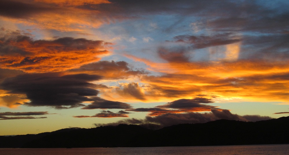
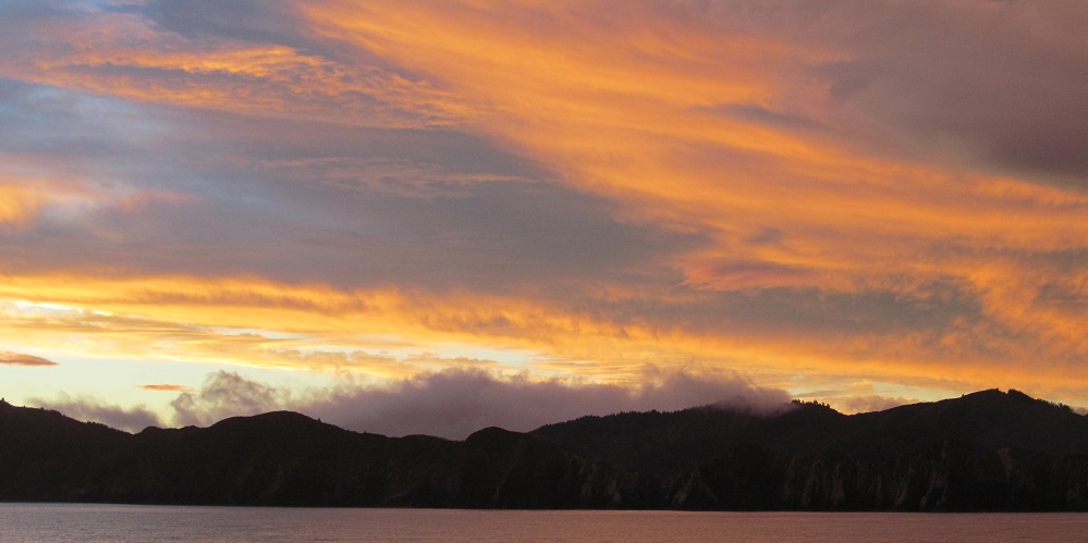
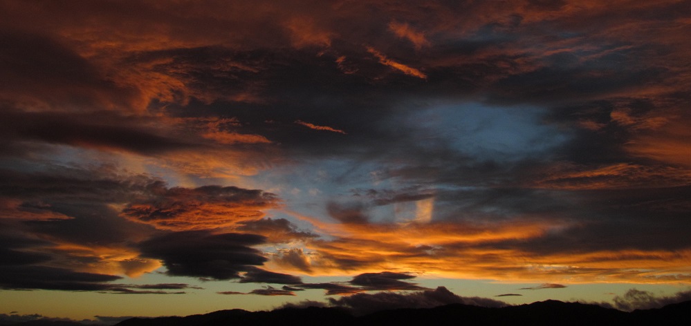
In the middle of summer, sunset's to the southwest, or as far as the ferry is heading, back and to the left. Back, and to the left. Back... and to the left.
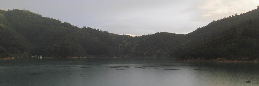
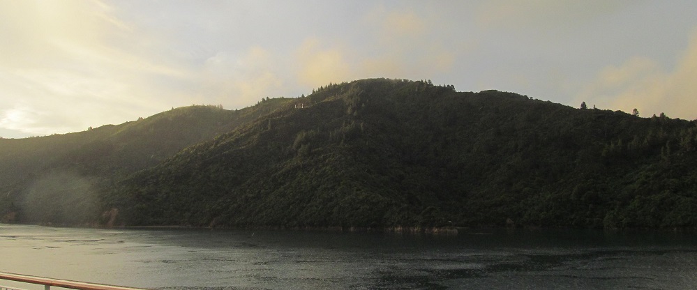
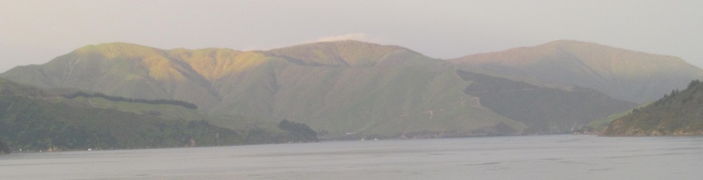
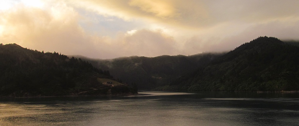
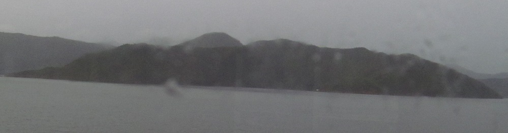
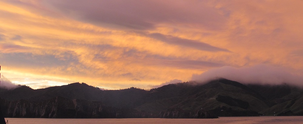
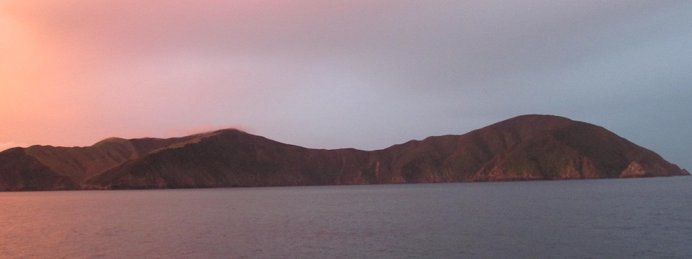
The rugged south coast of Arapaoa Island, north of Tory Channel through which the ferry runs.
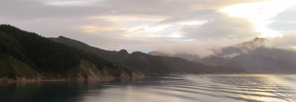
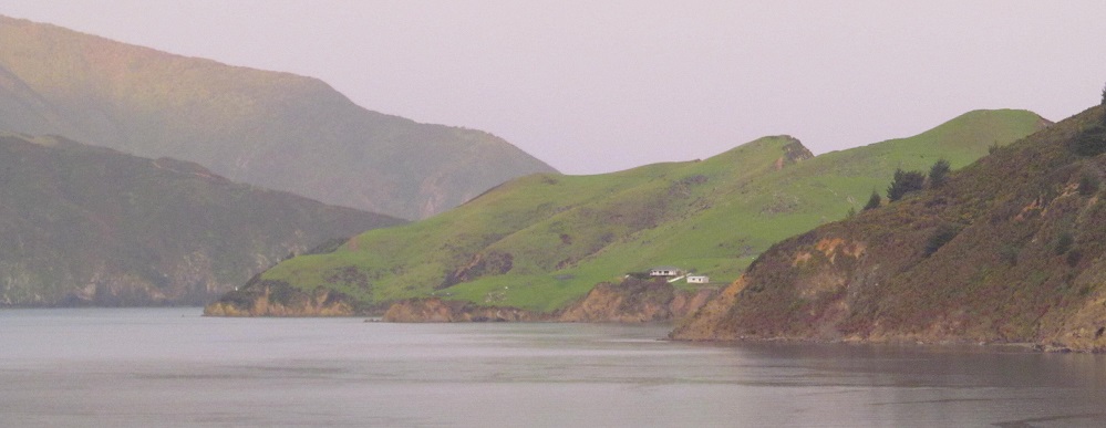
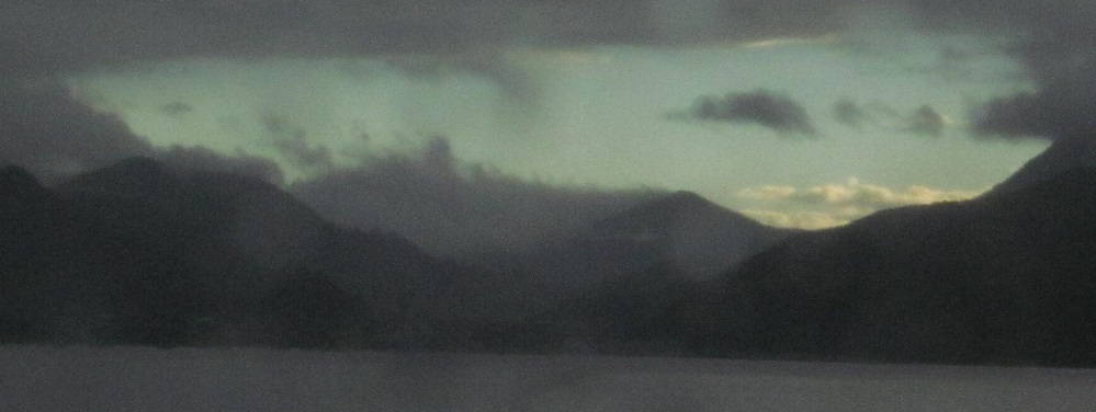
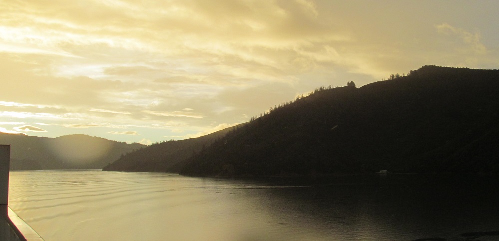
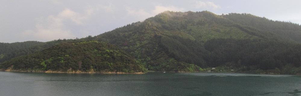
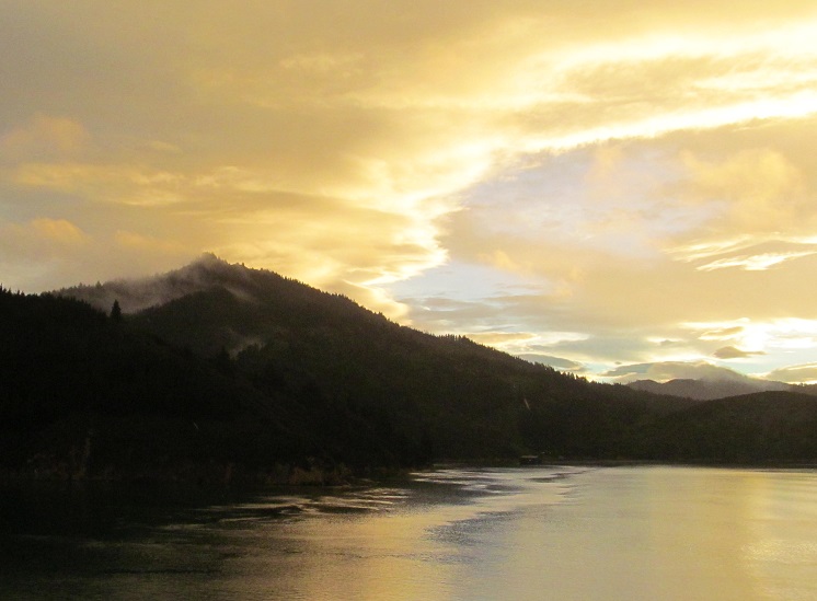
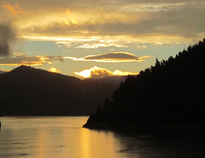
Nearing the eastern end of Tory Channel (Kura Te Au). After passing between West Head (a mainland crag to the south) and East Head (a northernly peninsula of Arapaoa Island), the ferry heads into open waters.
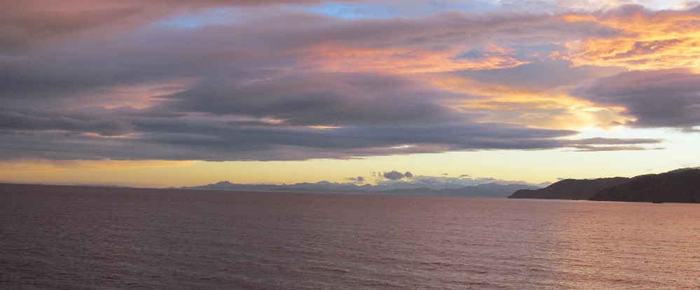
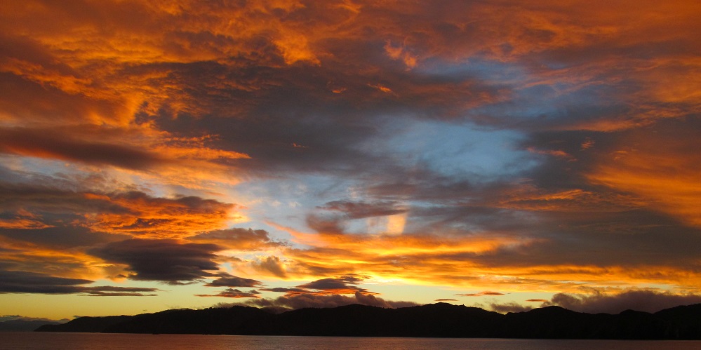
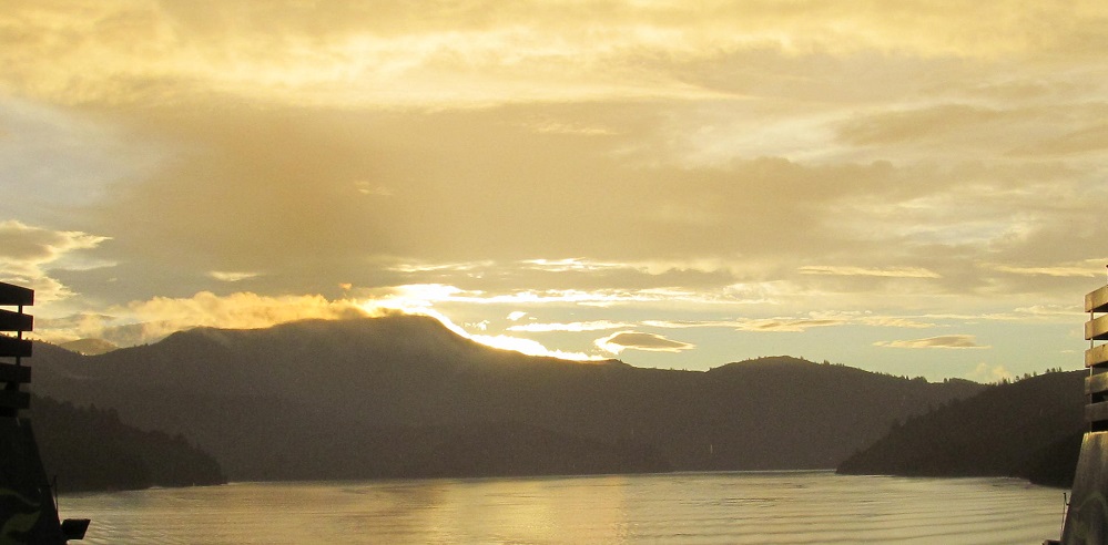
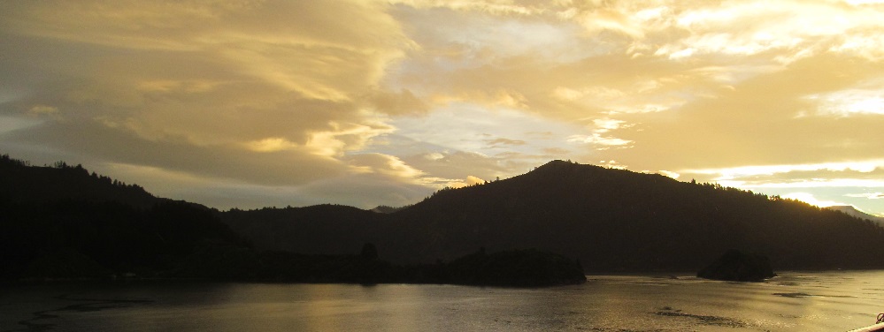
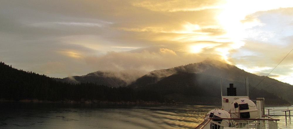
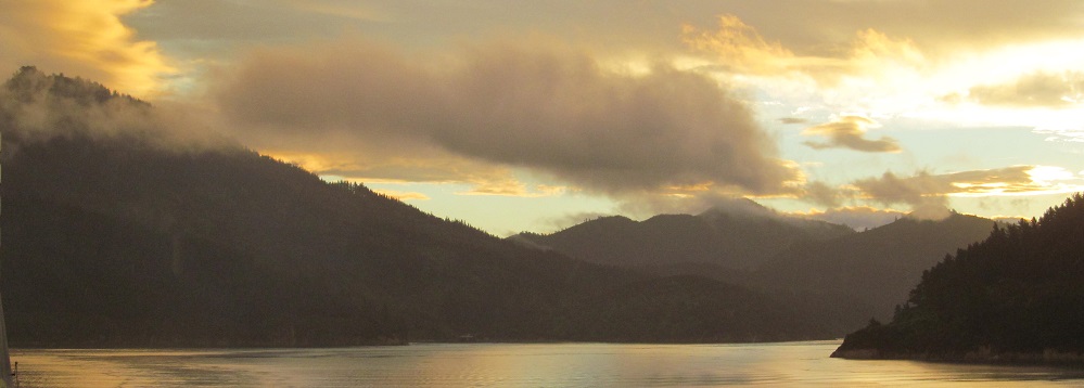
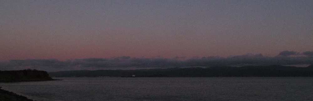
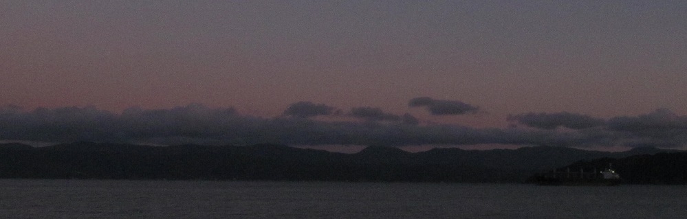
The ferry slowly pulls away from Arapaoa Island as the sun slowly sinks below the horizon. It's just over 50 km from here to the mouth of Wellington Harbour.
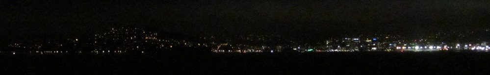
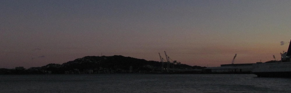
Wellington sparkles at night as the ferry approaches the dock.
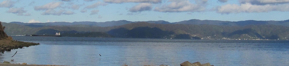
Speaking of the dock, let's jump back in time to before I left the North Island. This is the scenery looking east from the northern ferry terminal at the foothills of the Remutaka Range.
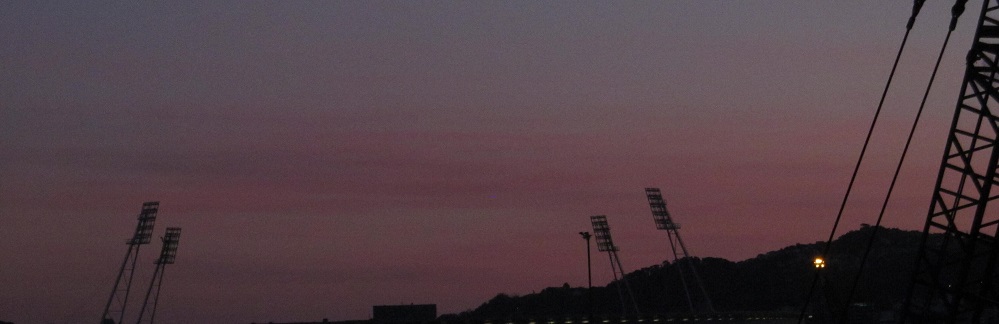
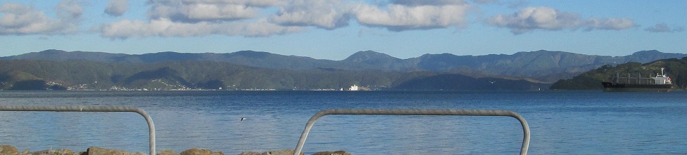
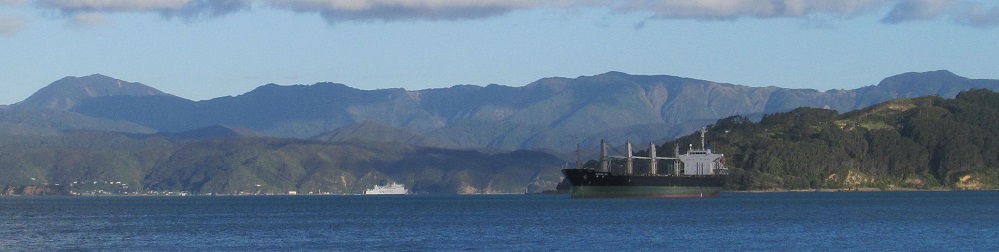
I was waiting for awhile, so here are some sunset photos from the same place. Since sunset is to the southwest, these photos grab the most industrial area of Wellington off of Aotea Quay instead of pretty mountain scenery.
Rainbow over the ferry
Back to Interislander main page
Back to New Zealand Non-Roads
Back to Non-Roads main page