New York - NY City - Roosevelt Isl. Structures
Roosevelt Island, New York City - Structures
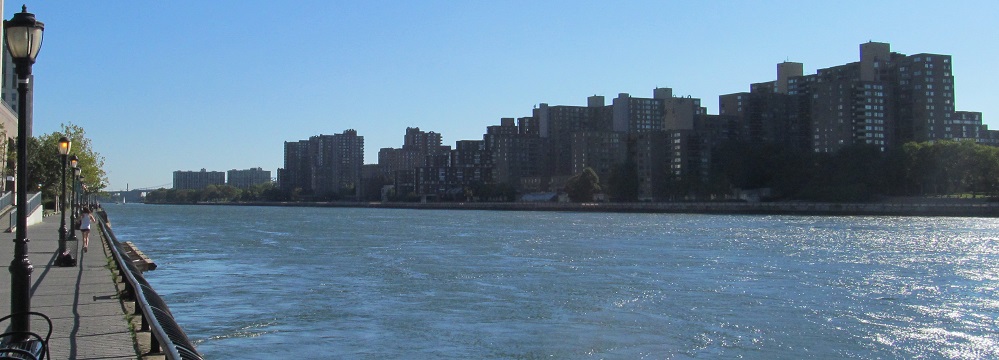
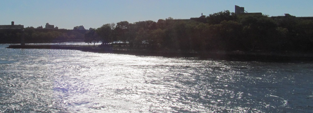
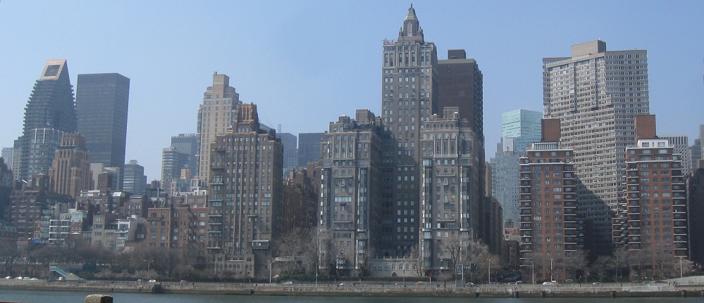
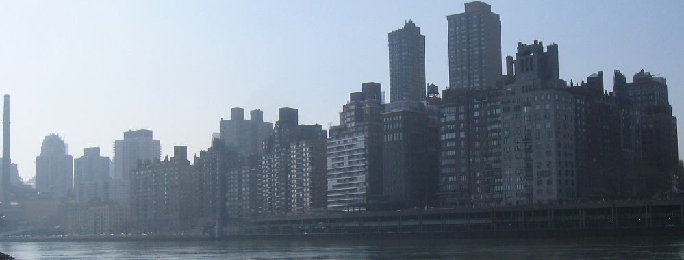
The Roosevelt Island "skyline" seen from Manhattan just north of the Queensboro Bridge.
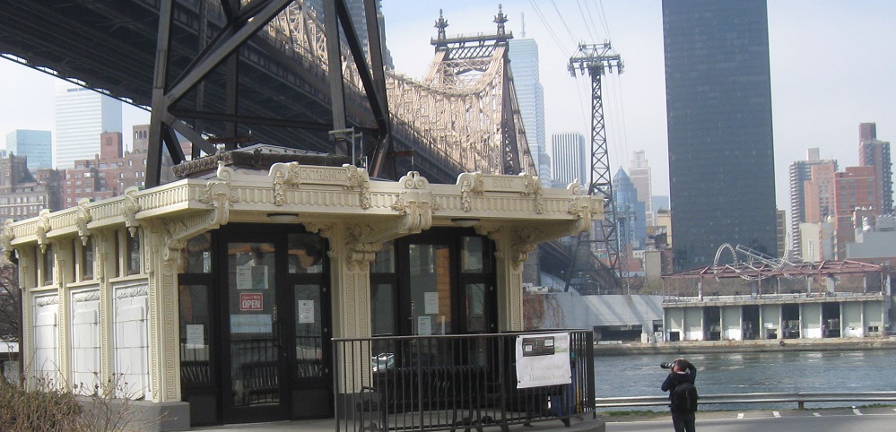
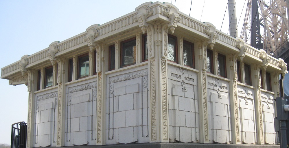
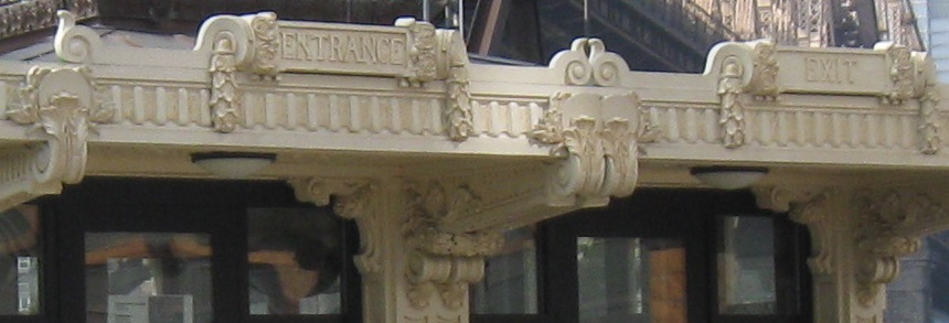
The first sight greeting Roosevelt Island visitors doesn't belong to the island at all. The visitor center kiosk was brought across the river (by tram?) from being the former 2nd Avenue/59th Street trolley station. Yup, not subway, not tramway, trolley. The trolley ran across the Queensboro Bridge with a stop halfway across. That was back when there were still elevators so that pedestrians could travel between Manhattan and Roosevelt Island for free without going all the way around through Queens.
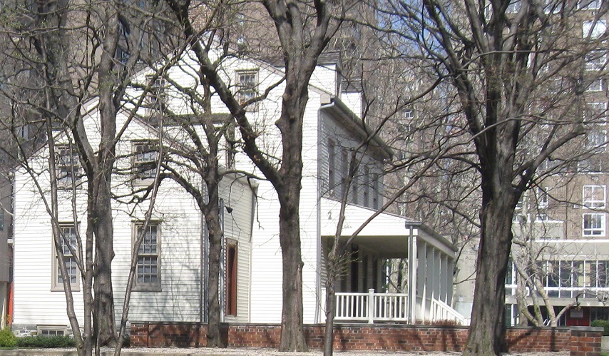
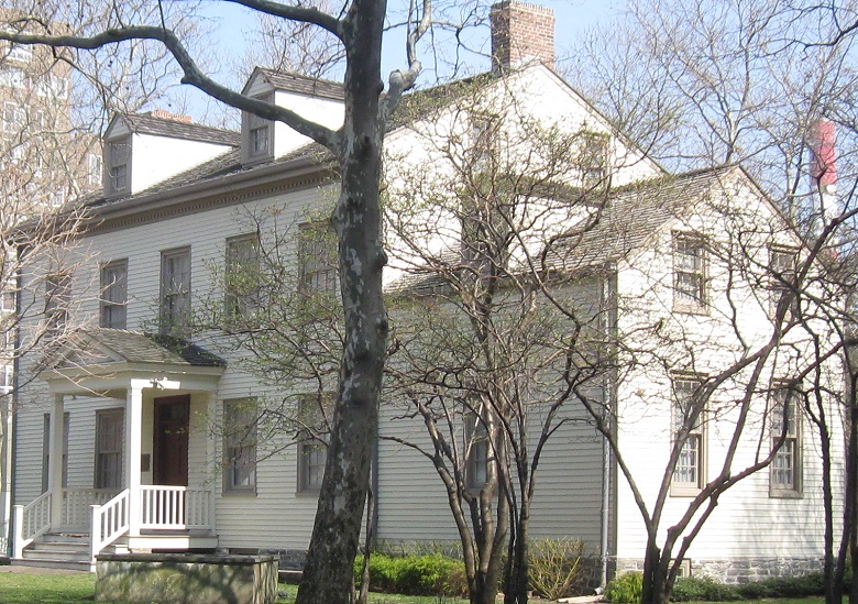
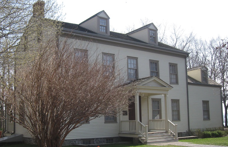
It's easy to tell which structures are historic on Roosevelt Island; they're the ones that look like normal buildings instead of a 1950s futuristic urban concept. This is the Blackwell House from about 1800, the last remaining structure from the time when the island was privately owned before 1828. (Manhattan land was a lot cheaper back then.) It was originally called Blackwell Island. Figure it out.
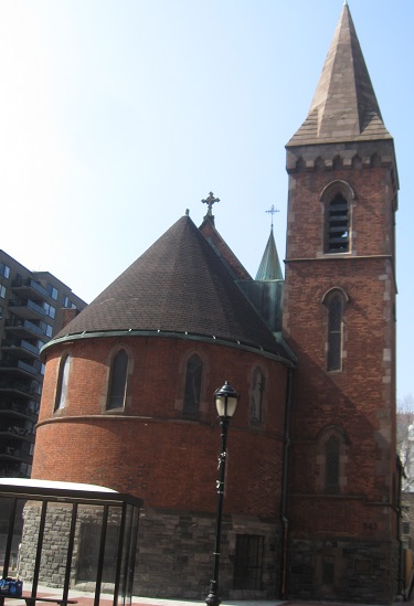
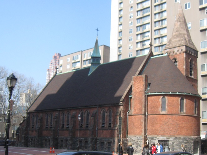
Turns out that the street-facing side of the Chapel of the Good Shepherd is really the back, and I should probably have gone around to the front. That's why it looks so unusual. It was constructed as an almshouse in 1889 for what was then Welfare Island, and later became the Home for the Aged and Infirm.
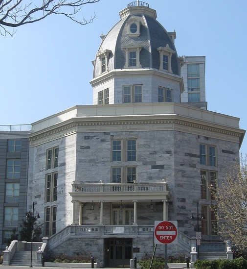
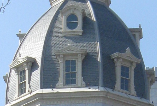
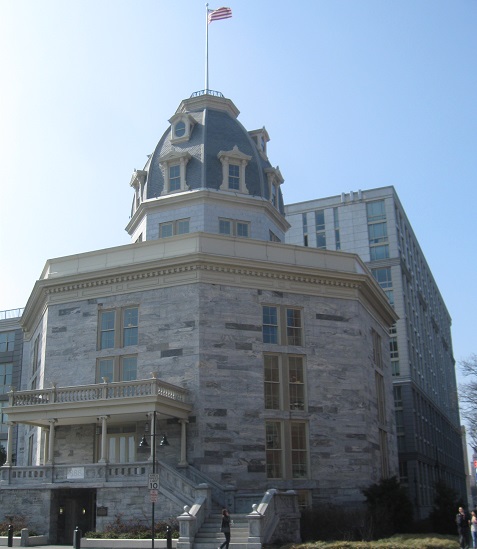
History gets more interesting as I get toward the northeast corner of the island and find the Octagon. The Octagon, because there were supposed to be two but the grander plans for the complex were not built. Constructed in 1839, this was the way into the NYC Lunatic Asylum for well over 100 years. It may have been called Welfare Island, but the land was for every type of public institution. Everything else has been rebuilt, so even the half of the asylum that was constructed is gone, leaving just the Octagon.
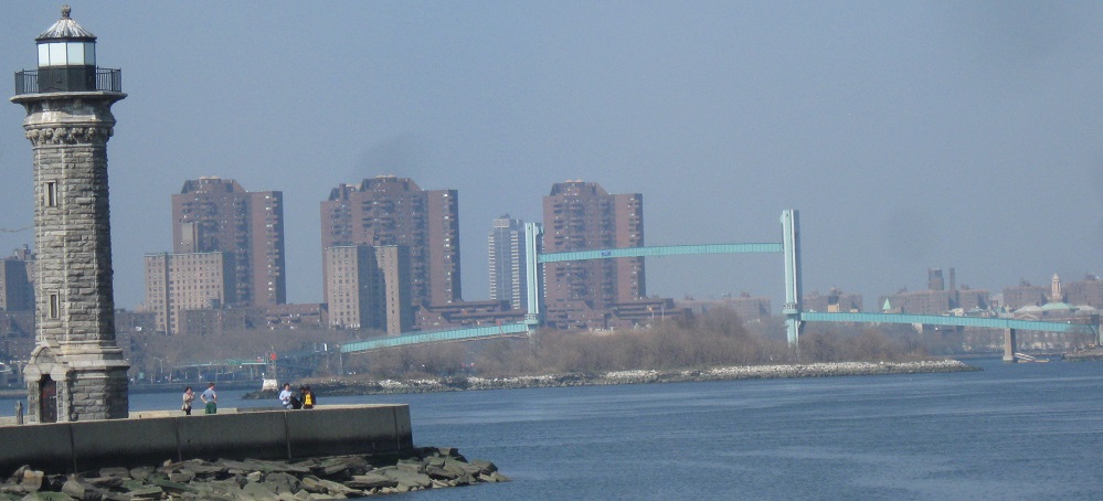
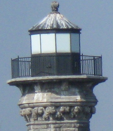
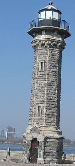
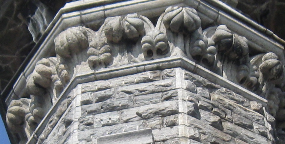
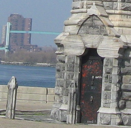
The Blackwell (then Welfare, then Roosevelt) Island Lighthouse stands at the north end of the island, commissioned by the same James Renwick responsible for the ruins at the south end (see hospitals link below). This predates the old smallpox hospital by 20 years, spending about 50 years on both Blackwell and Welfare Islands and now celebrating over 40 years on Roosevelt Island. So I guess the land's due for another name change soon.
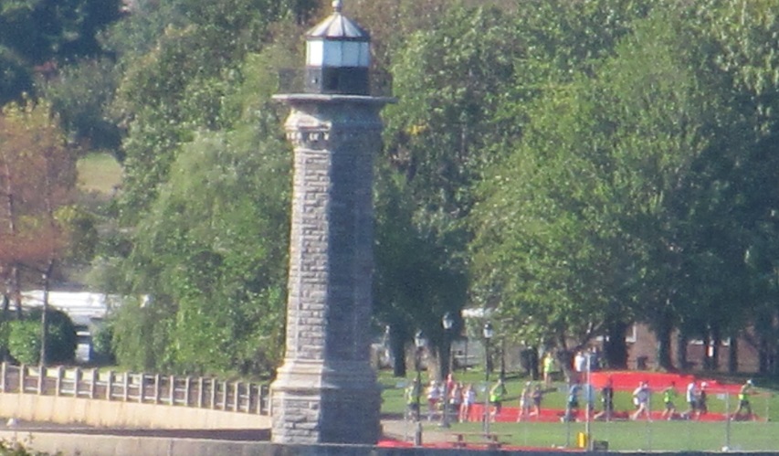
Looking east from Manhattan at the lighthouse and adjacent field.
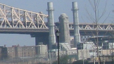
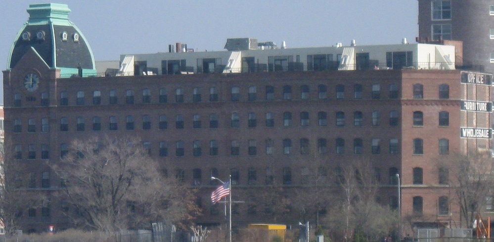
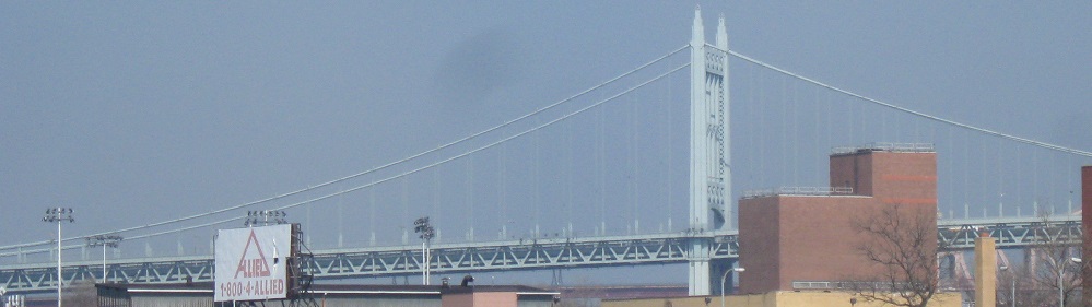
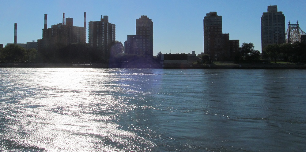
Looking east at pieces of Queens. The first is an historic factory in the shadow of the Queensboro Bridge, the second is the former Sohmer Piano Factory on Vernon Blvd., and the last is the southern end of the Triboro Bridge.
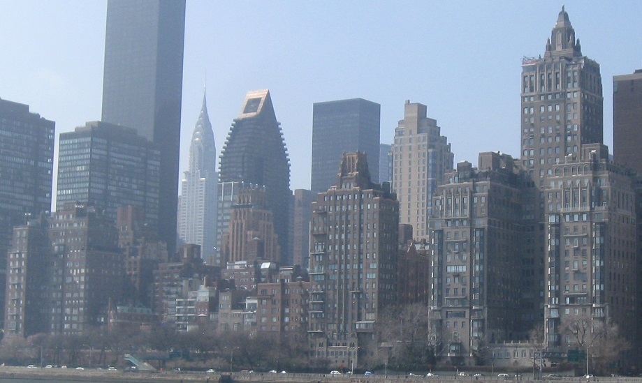
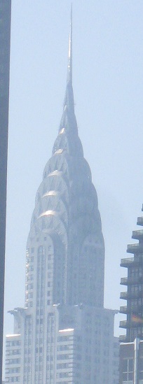
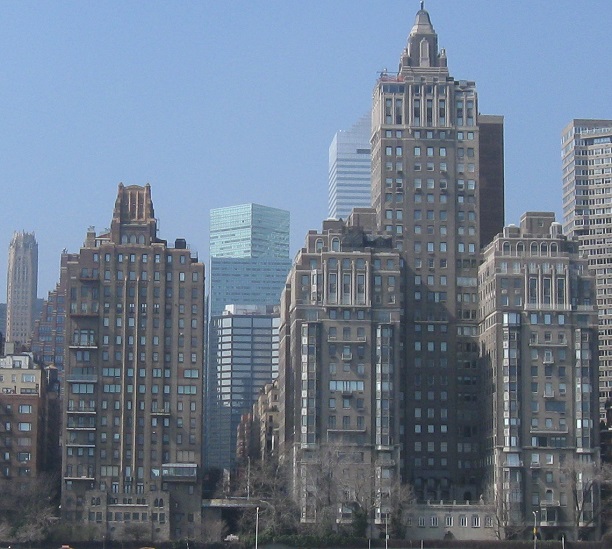
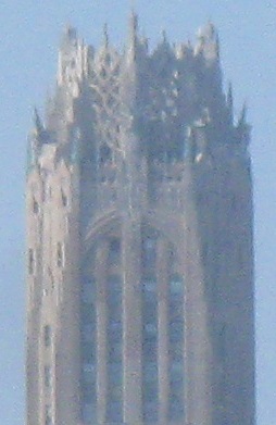
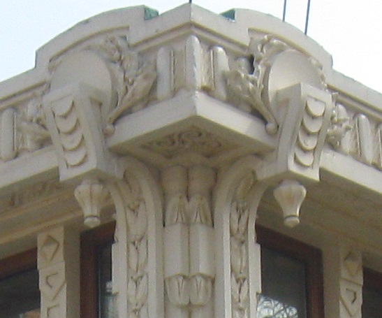
From the southern end of Roosevelt Island, the view to the west is dominated by the River House (toward the right of the 3rd and 4th photos), but a couple other historic buildings sneak in. You probably recognize the chrome Art Deco spire of the Chrysler Building, but are you as familiar with the decorative upper reaches of the RCA Victor (now General Electric) Building? The decorations are supposed to represent electricity and radio waves, but they just look like a hot mess.
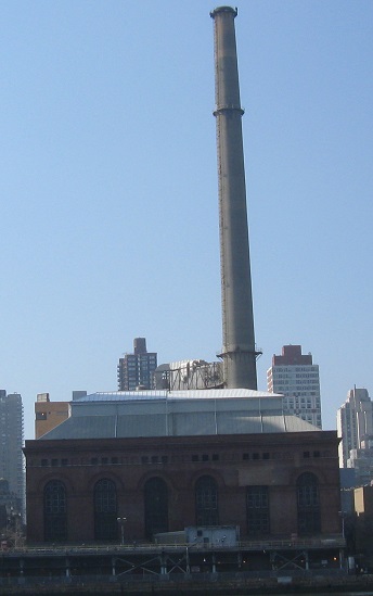
The E. 74th St. steam plant, from an angle you'll never see in Manhattan, which then anchors the south end of the view from the northern tip of Roosevelt Island.
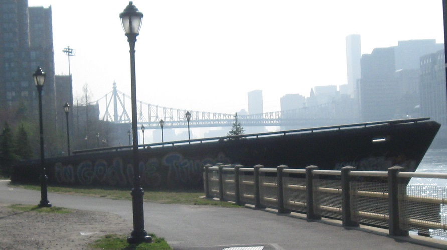
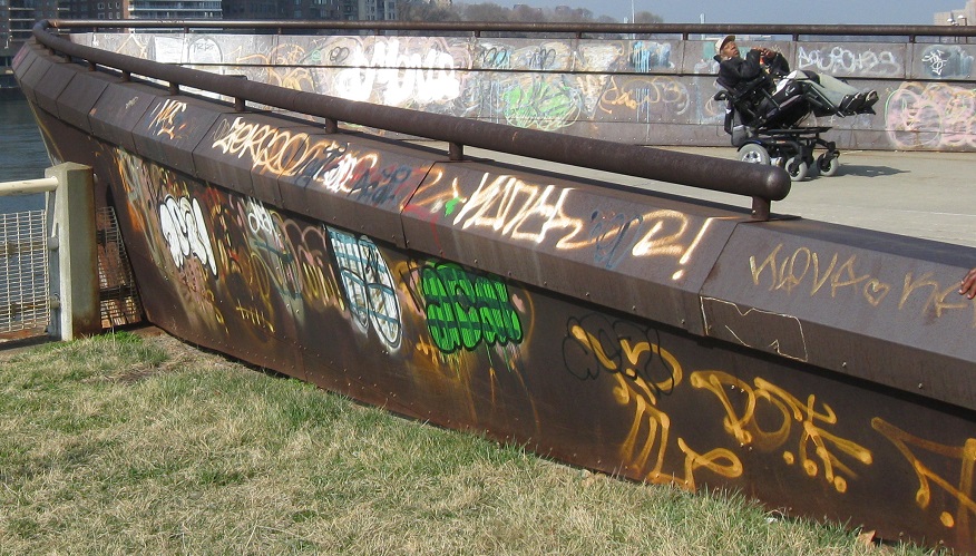
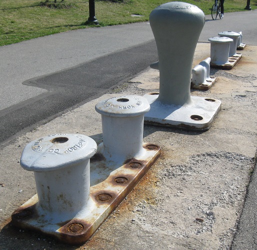
I learned well after taking these photos that this boat hull is actually just a 1997 art project to memorialize the former Roosevelt Island boat landing up by what's now Octagon Park (fields to the southwest of the Octagon that the patients once played in). I'm assuming the mooring is also not original, but given the stampings it could be the only genuine part of the exhibit. It's a shame that no one is preserving the hull from other "artists."
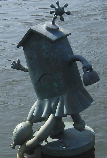
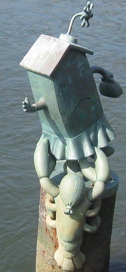
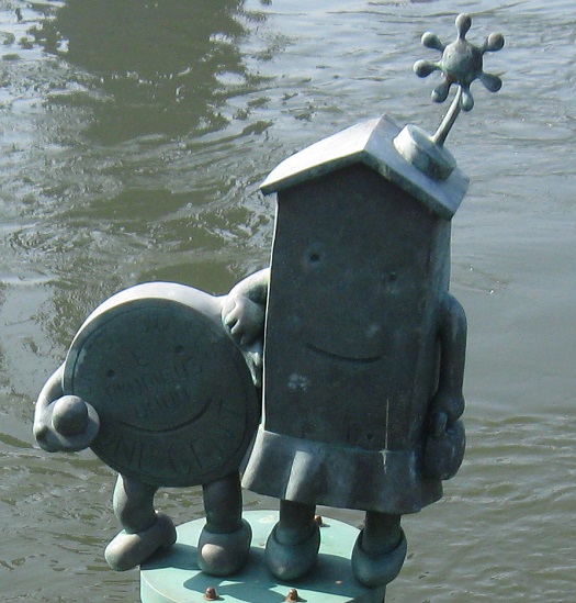
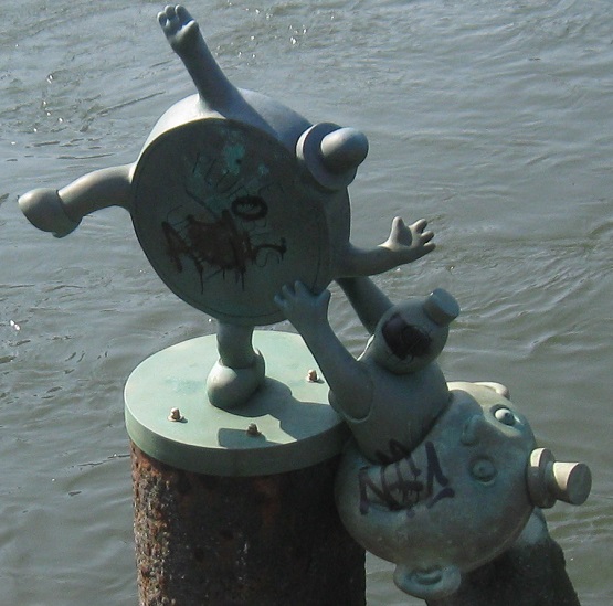
More art, it just bleeds from all sides of the boat hull. The sculptor is Tom Otterness, and he somehow thought this had anything to do with property and money. He must have become frustrated with NYC real estate prices.
See Roosevelt Island's hospitals
Back to Roosevelt Island main page
See more of New York County (Manhattan)
Back to New York Non-Roads
Back to Non-Roads main page