Northern Territory - Stuart Hwy. - N. of Alice Spgs.
Stuart Highway north of Alice Springs
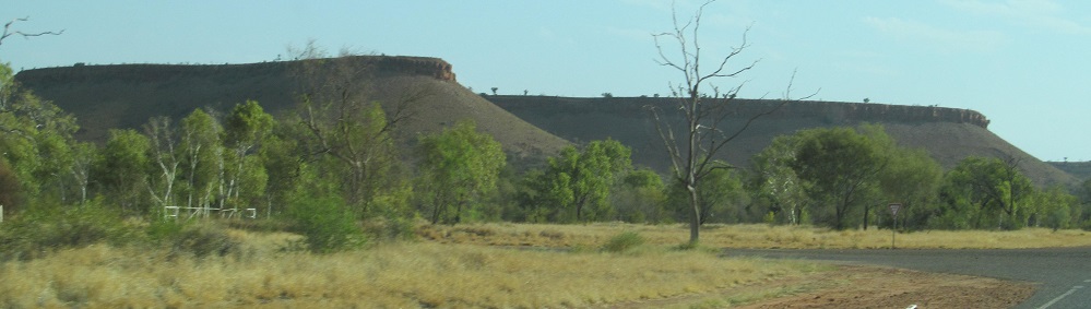
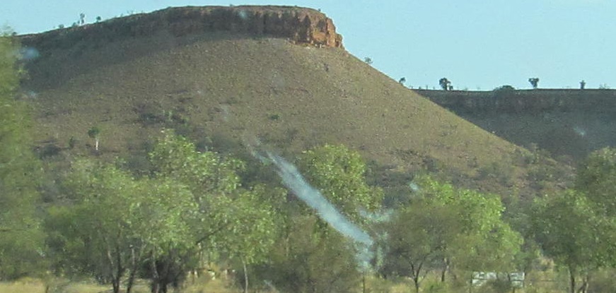
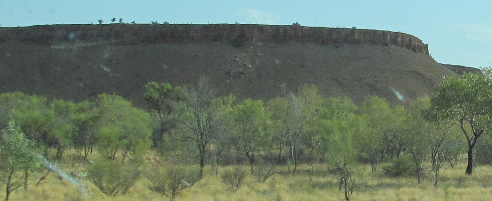
All photos are heading south.
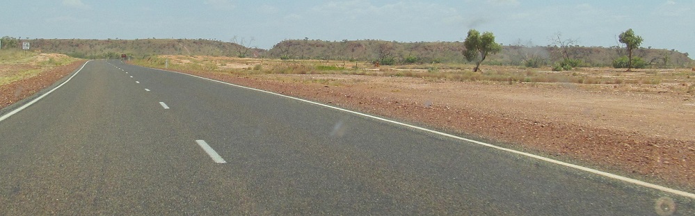
Starting from Barkly Highway (National Highway 66) toward Tennant Creek, ending at the Warrego turnoff.
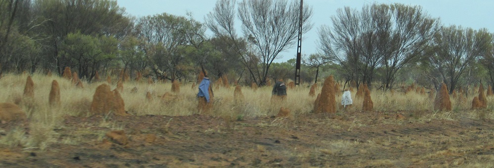
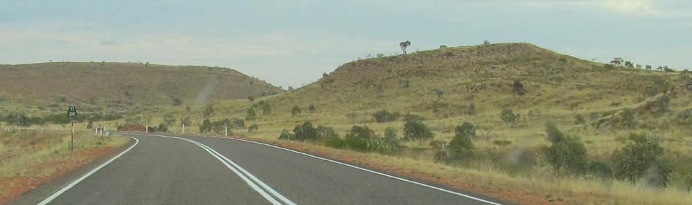
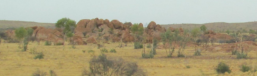
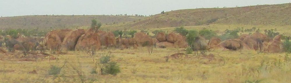
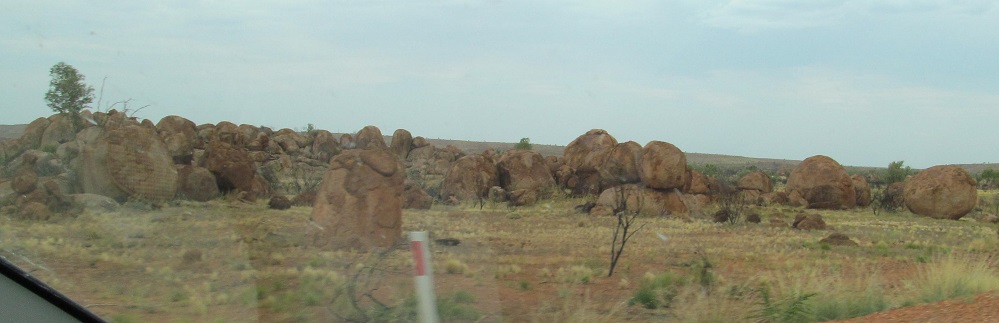
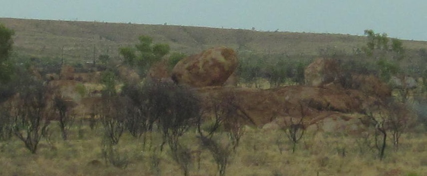
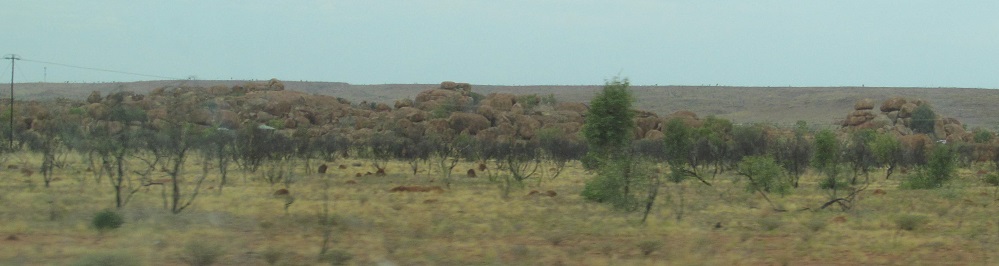
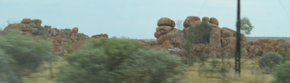
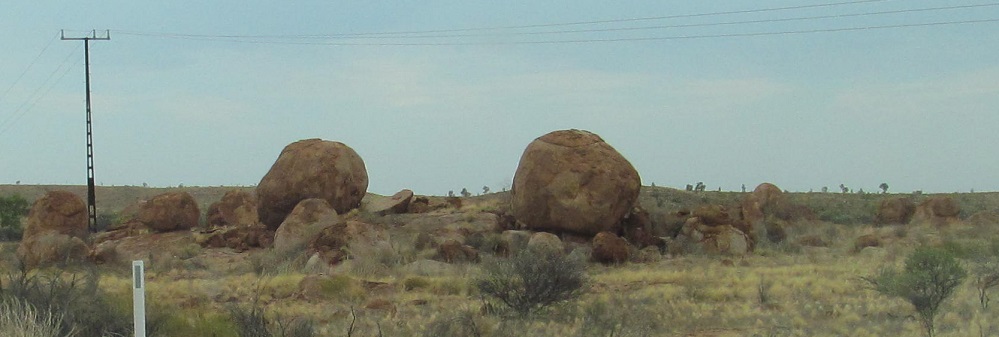
The outback has some unusual rock formations. The first photo shows some Standing Stones, which are anthropomorphic enough to require clothing sometimes. The distance marker in the 2nd photo says 210 km to Ti Tree, which gives you an idea how isolated the outback can get. For that matter, it's an hour until my next photo.
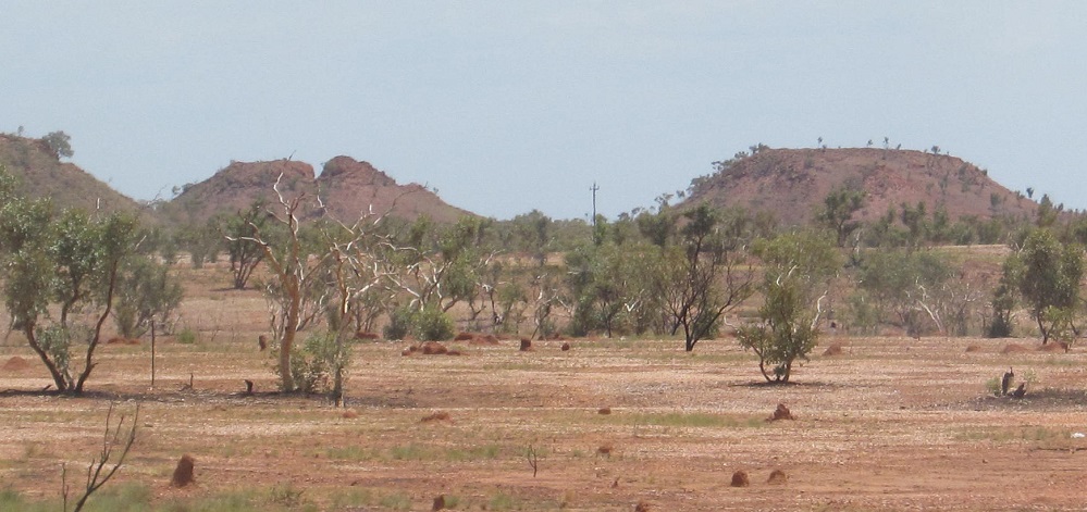
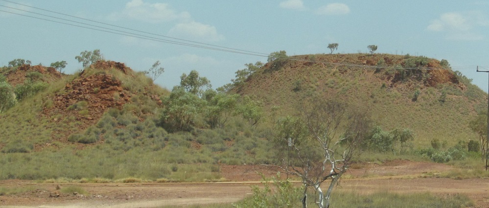
A couple of photos on the right, then switching to the left.
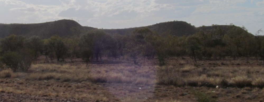
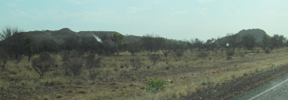
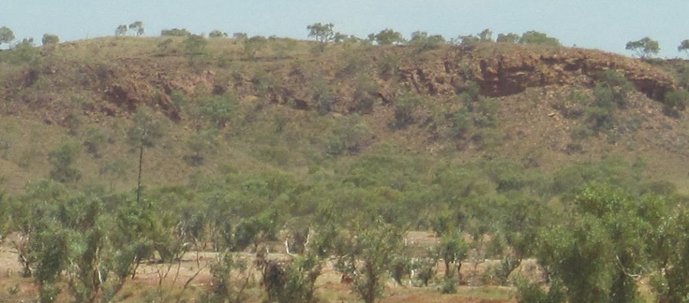
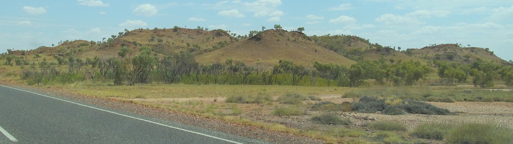
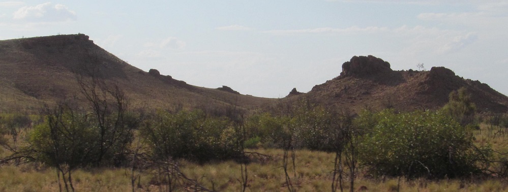
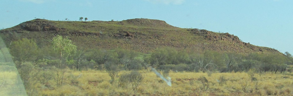
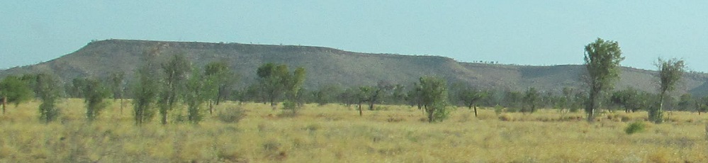
First photo's on my right, the rest are on my left, and it's again an hour to my next photo.
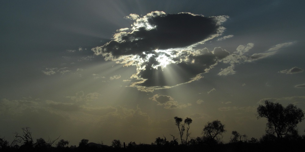
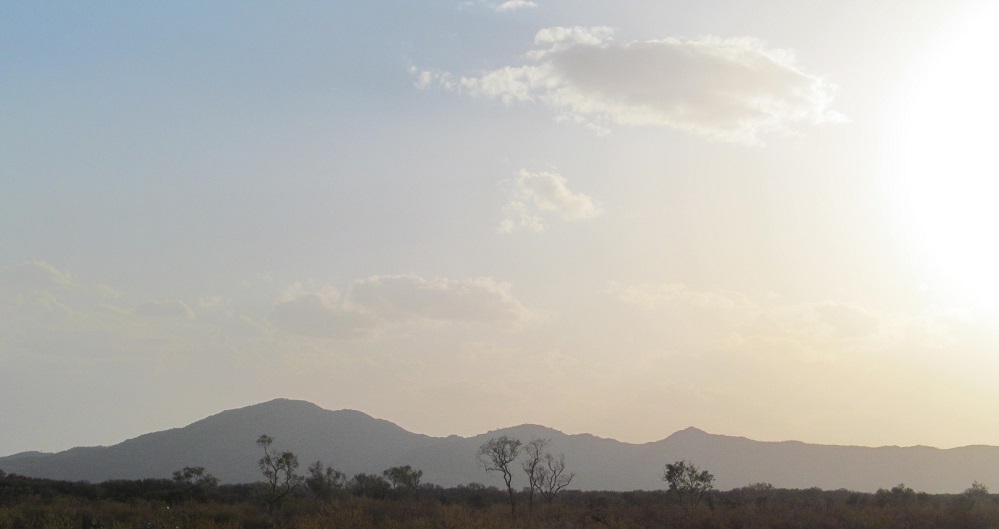
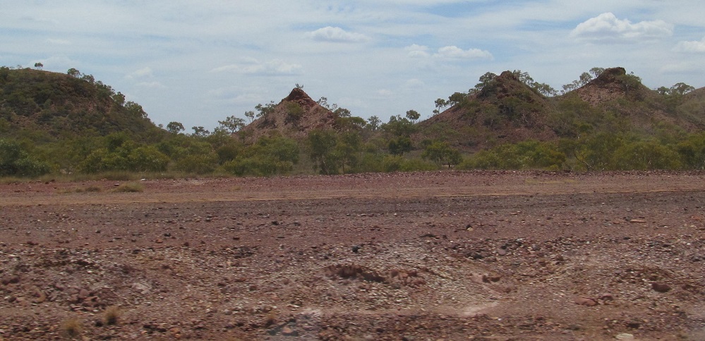
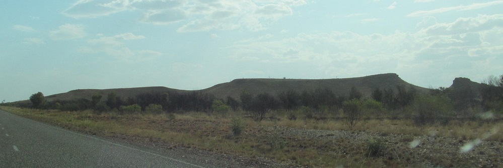
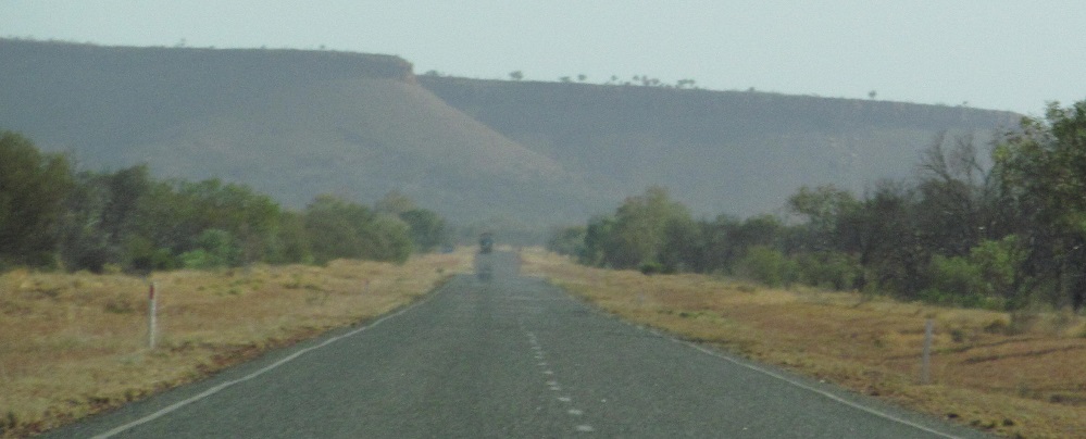
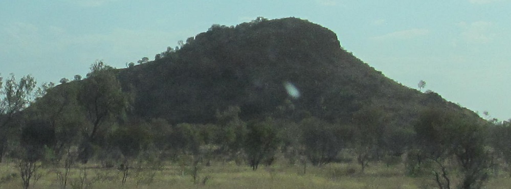
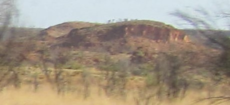
The sun's just starting to head toward setting mode, but that's the perfect backdrop for what will be my best view of the MacDonnell Ranges west of Alice Springs.
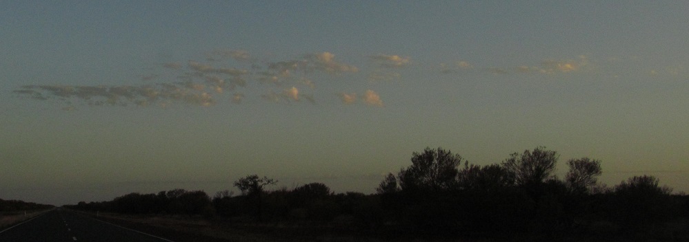
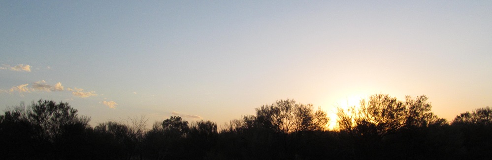
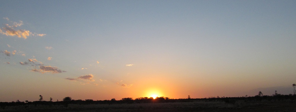
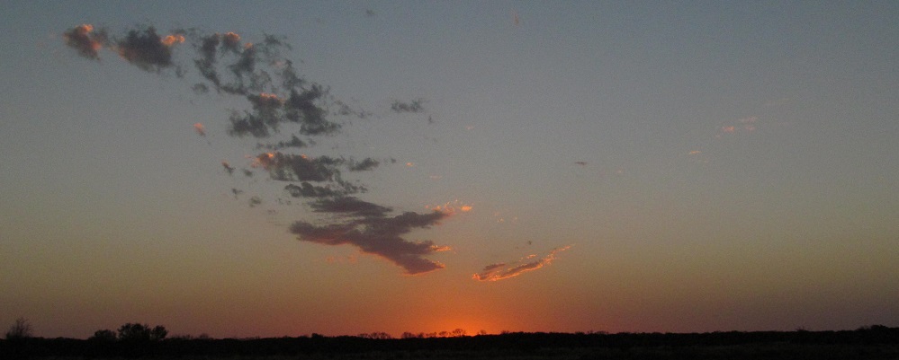
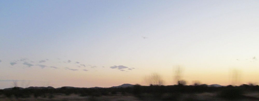
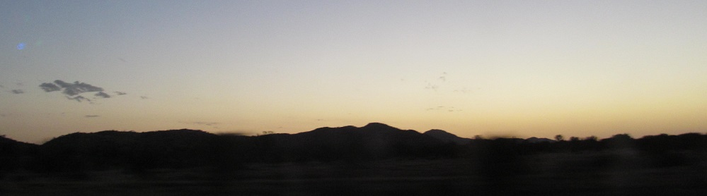
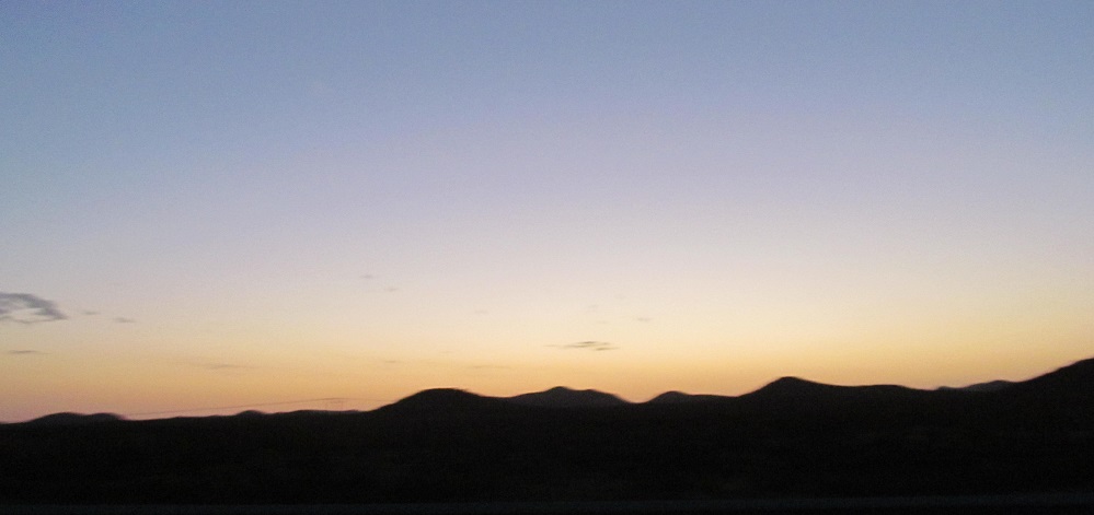
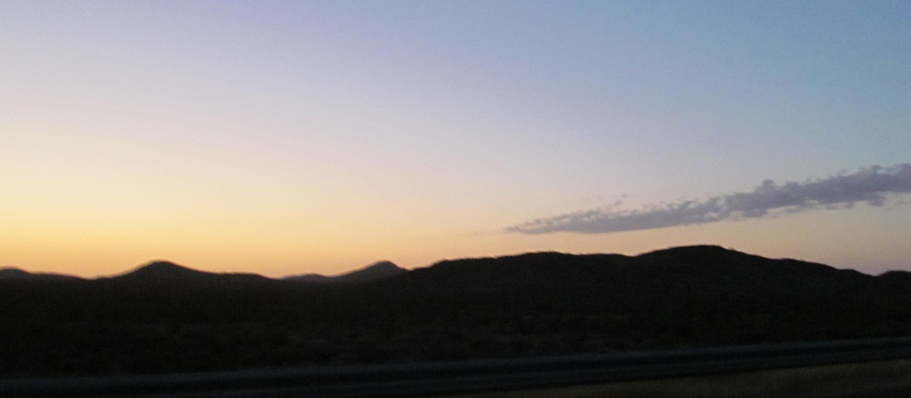
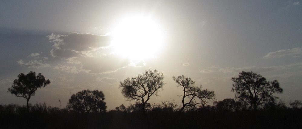
The sun sets just before I get to the Tropic of Capricorn and back to temperate climes, but there are a few more photos to be had in the gloaming. The greatest danger of night travel is smacking into a kangaroo, but fortunately they were not yet out.
Continue south on Stuart Highway
Back to Stuart Highway main page
Road photos from Stuart Hwy.
Back to Northern Territory Non-Roads
Back to Non-Roads main page