New Mexico - US 380 scenery W. of 70
US 380 scenery west of US 70
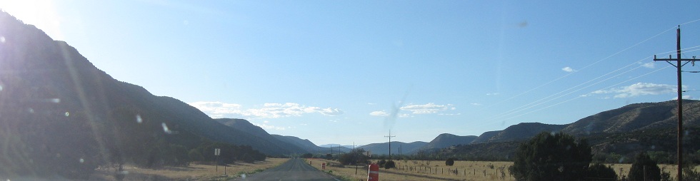
Photos were taken westbound and progress in that direction.
Looking west and tending toward the north, enough so that the last photo even looks back east somewhat.
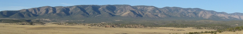
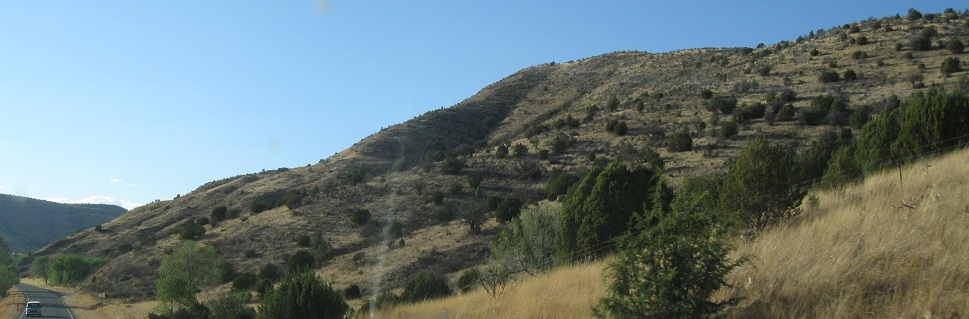
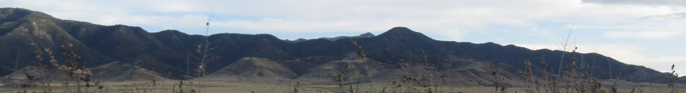
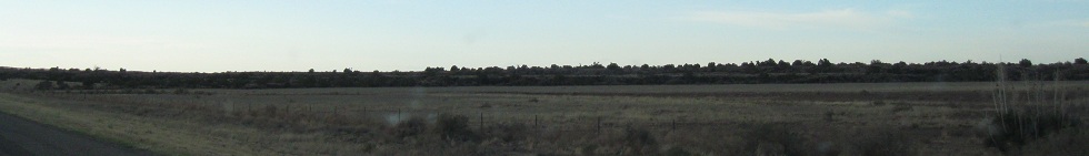
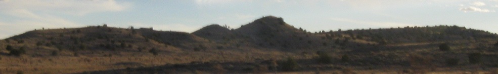
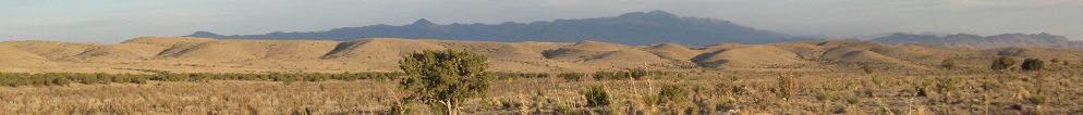
Looking left and right to the north, east of Capitan.
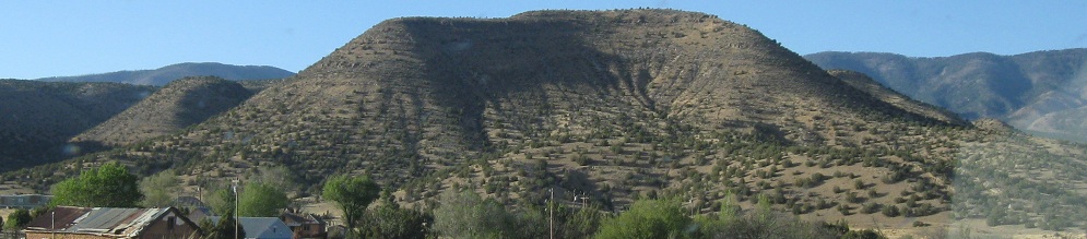
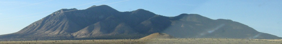
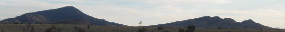
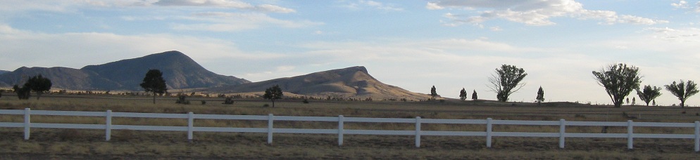
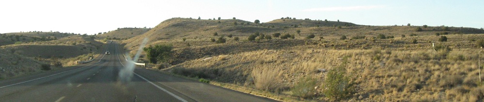
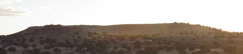
Galt Peak to the southwest, leaving Capitan.
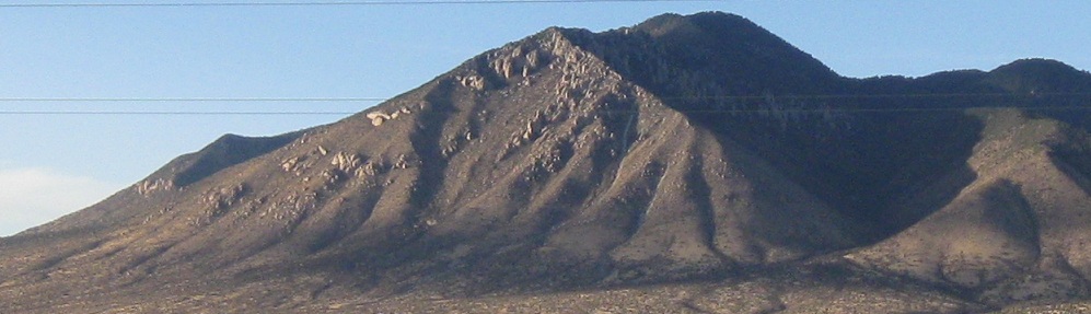
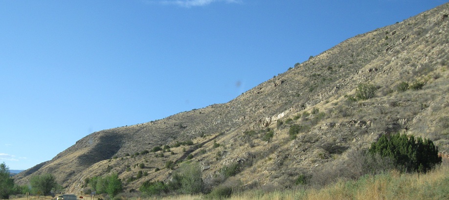
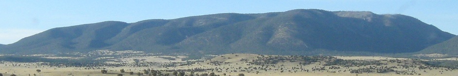
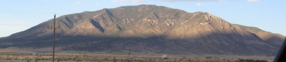
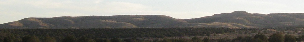
Carrizo Peak to the north.
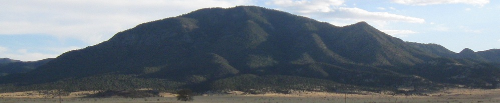
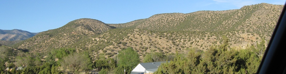
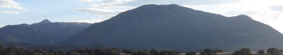
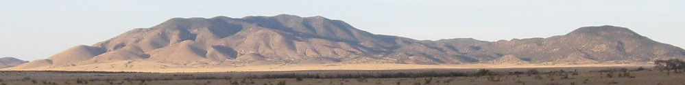
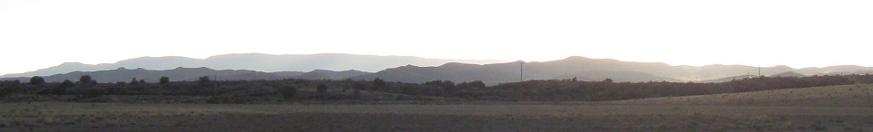
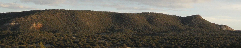
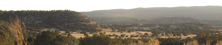
More southern photos, with the last one looking a little back east.
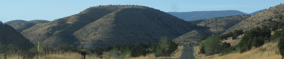
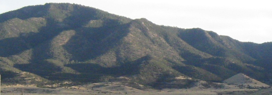
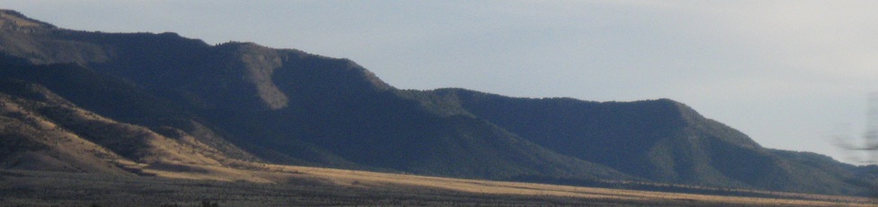
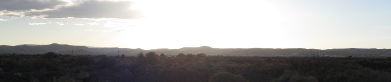
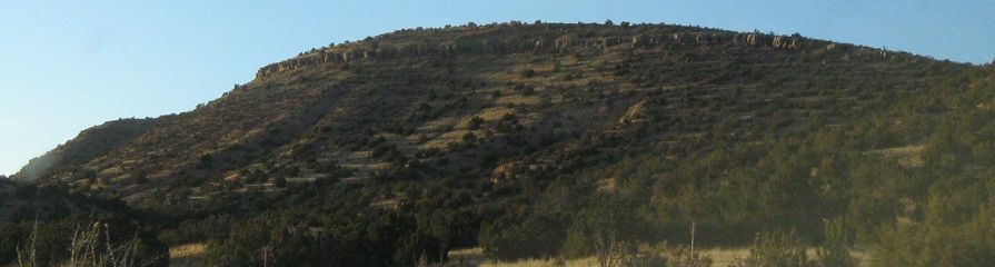
Looking north and east enough that the sun lights up the mountain face.
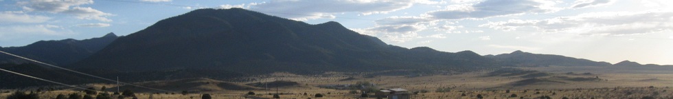
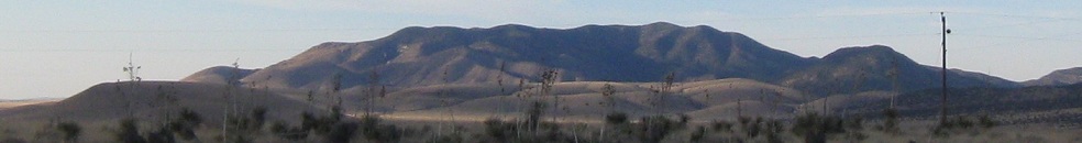
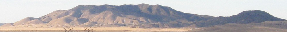
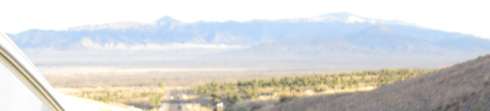
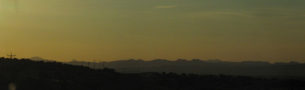
One more southern view before the fun stuff starts.
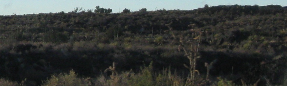
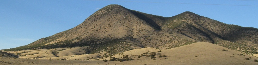
To the right (first photo) and left, the landscape gets chunky. This is the Valley of Fires or Carrizozo Malpais (bad country of Carrizozo), where the landscape is dominated by chunks of lava thrown up by Little Black Peak to the north. It still may be a hot spot, as the last flows were within recorded history (a little over a millennium ago).
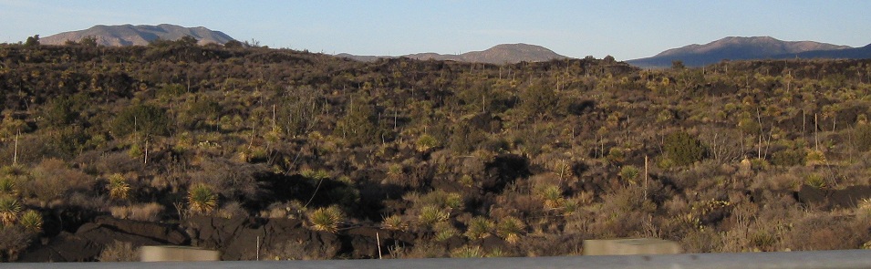
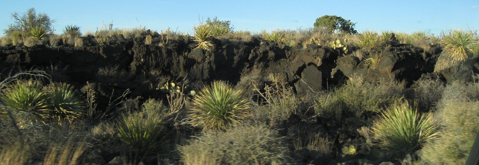
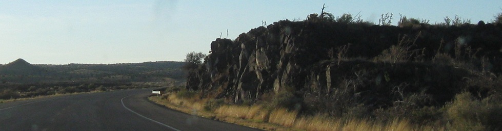
Some more photos of the unique landscape to the north.
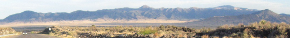
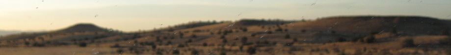
Looking south and west as I exit the Valley of Fires.
A glance back east at the valley, and a second one six minutes later after the next set of scenery lumps.

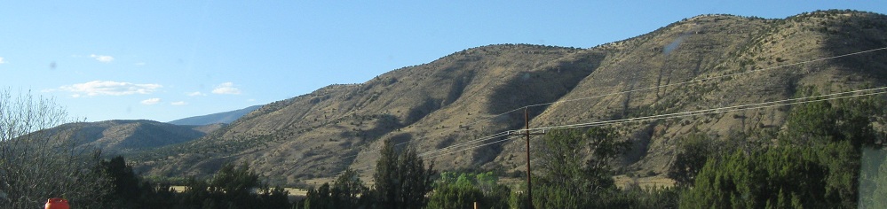
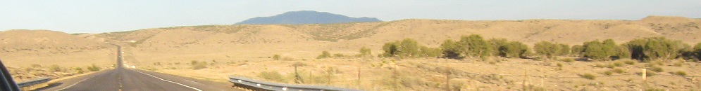
Looking mostly south.
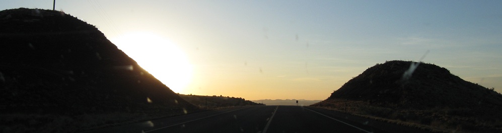
Alternating west and south photos as the sun starts to fall. Oh, set, that's the opposite of rise in this context.
To the north and west. The green color isn't any fancy camera trick or doomsday scenario, just the trail of colors to the north of the sunset.
Continue west on US 380 to sunset in San Pedro Arroyo
Continue east on US 380 and US 70
Back to US 380 scenery main page
Road photos from US 380
Back to New Mexico Non-Roads
Back to Non-Roads main page