Montana - US Route 2 - W. of Nyack
US Route 2 west of Nyack
All photos were taken heading west.
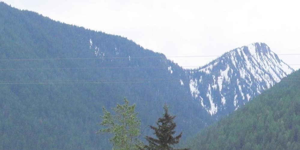
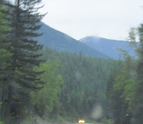
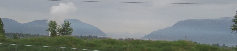
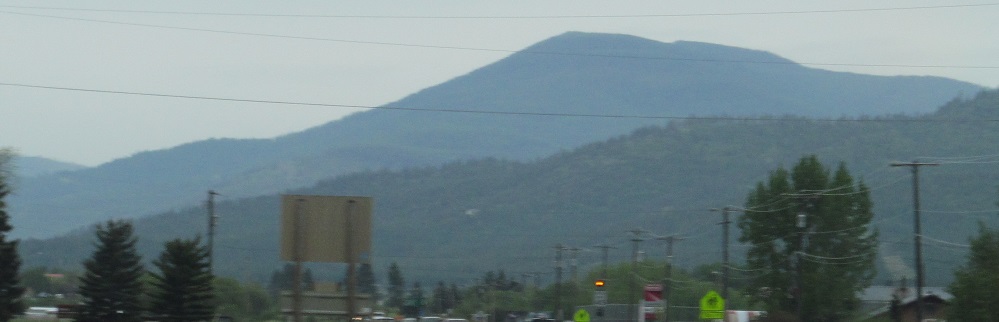
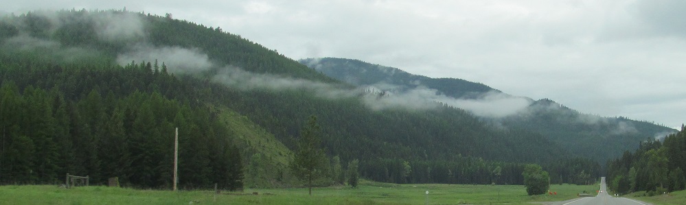
Pyramid Peak dominates the sky west of Nyack, but Great Bear Mountain bearly slips in on the left, and Belton Hills hide behind it to the right.
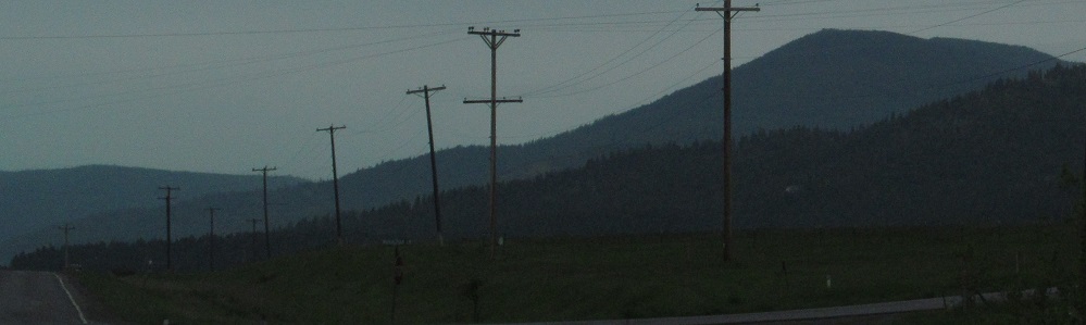
Looking back over my shoulder at Loneman Mountain.
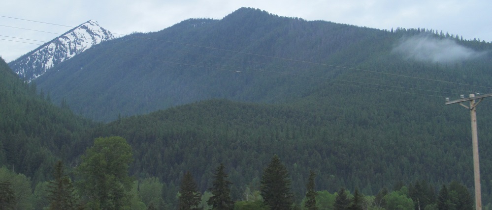
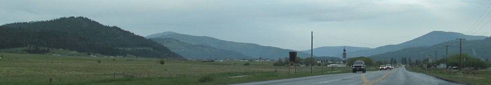
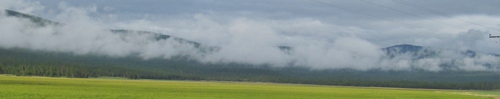
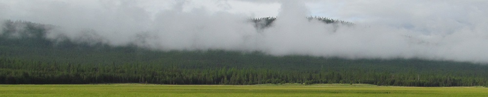
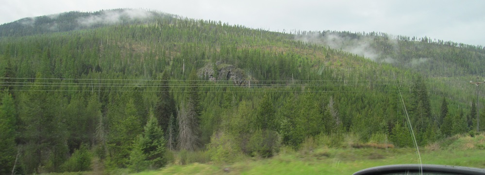
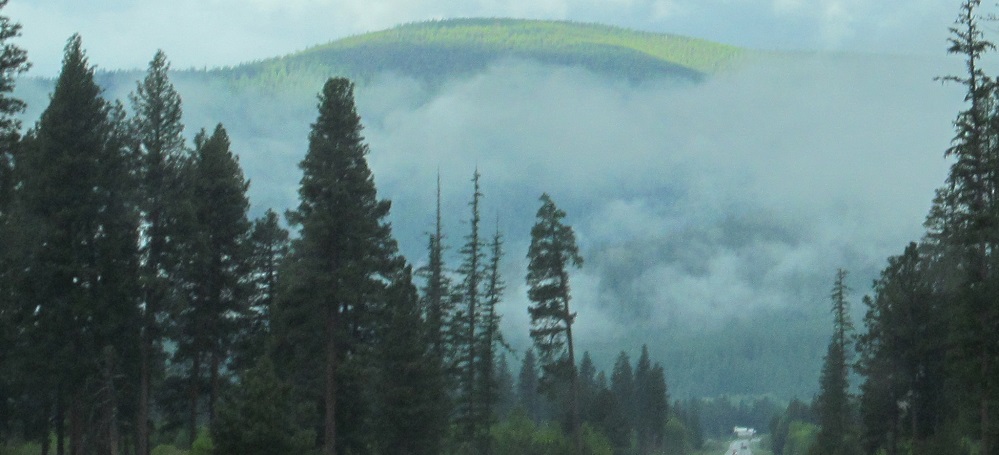
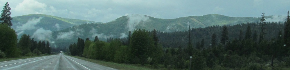
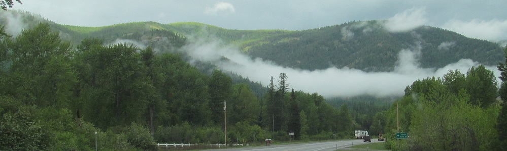
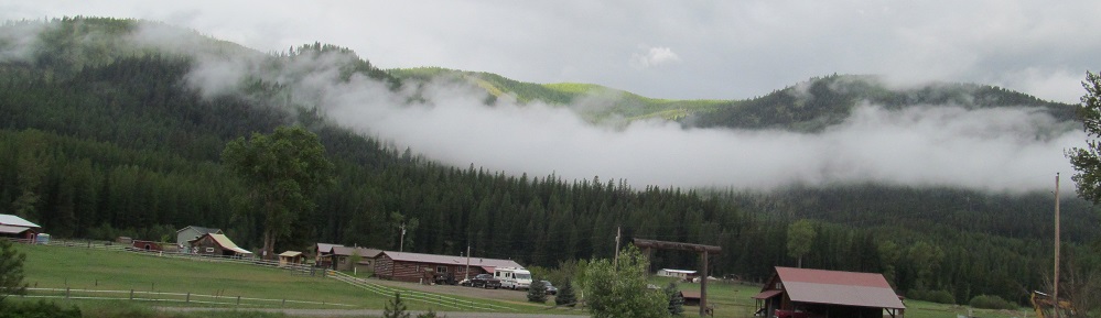
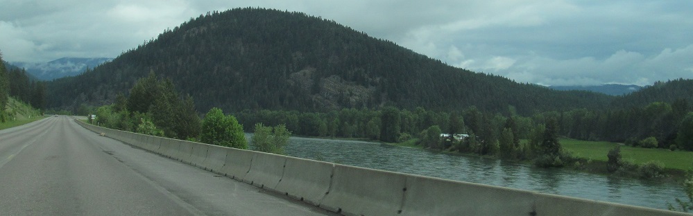
Taken on either side of West Glacier. The first photo is Desert Mountain.
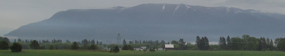
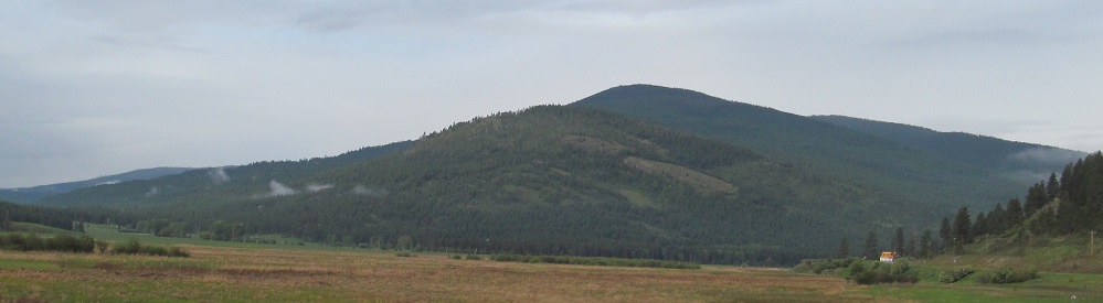
Here's a whole bunch of Columbia Mountain, coming into view behind Teakettle Mountain's south peak near Coram. Many miles later, US Route 2 turns due south from Highway 40 so that I can see the mountain back to the east; the third photo has Teakettle on the left and Columbia on the right, proving I've switched sides.
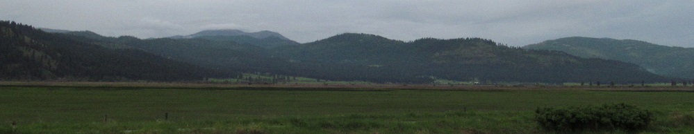
Skipping over Kalispell and looking south, Bibber Peak is on the right.
Here's Haskill Mountain, featuring the base of Boorman Peak in front and Wild Bill Mountain to the left (2nd photo).
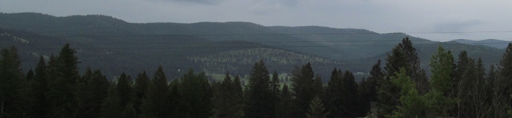
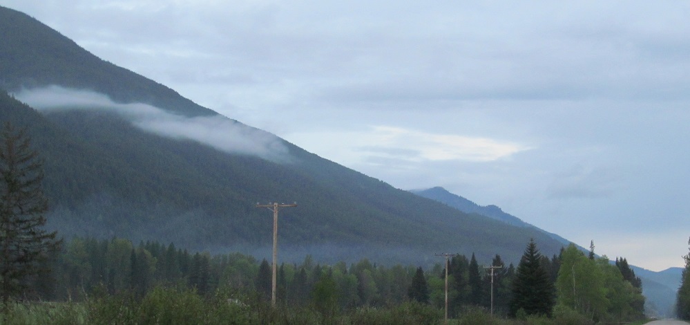
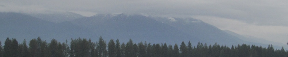
The nondescript Salish Mountains are to the south. Not sure why they're not called Hills.
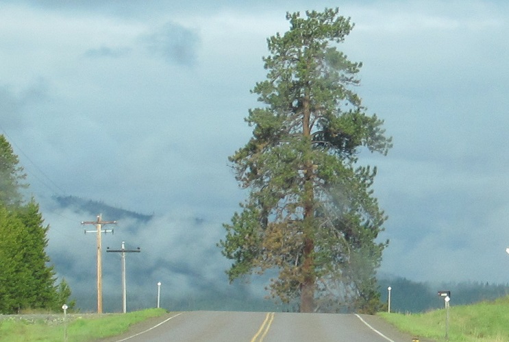
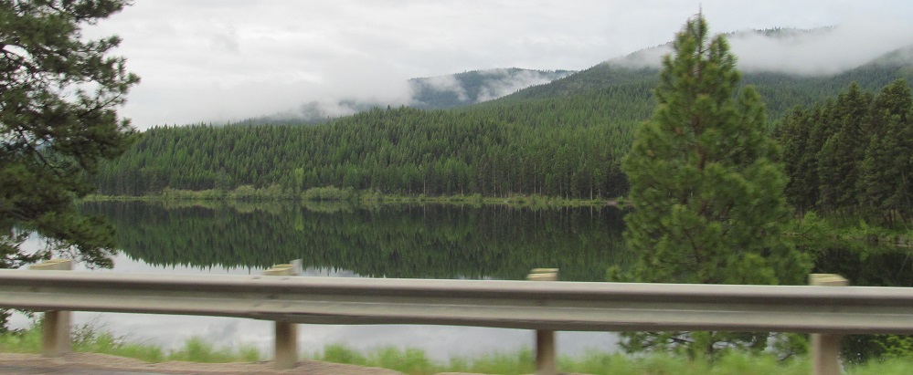
The road ends at McGregor Lake. Slow down.
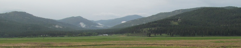
Just kidding. Here's the scenery to the south after the road bends to the right of the tree.
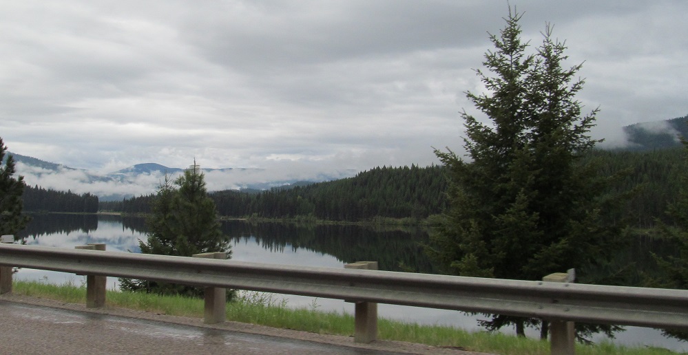
Southeast along McGregor Lake with more imposing trees, the southern reaches of Meadow Peak, and the northern reaches of Bar Z Peak.
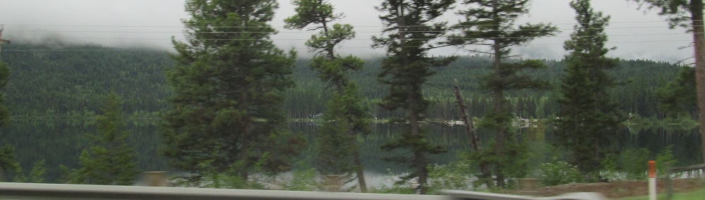
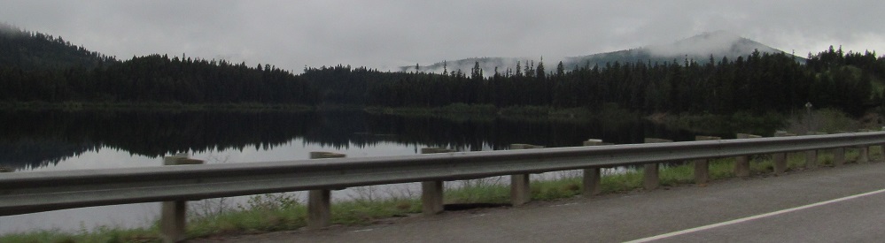
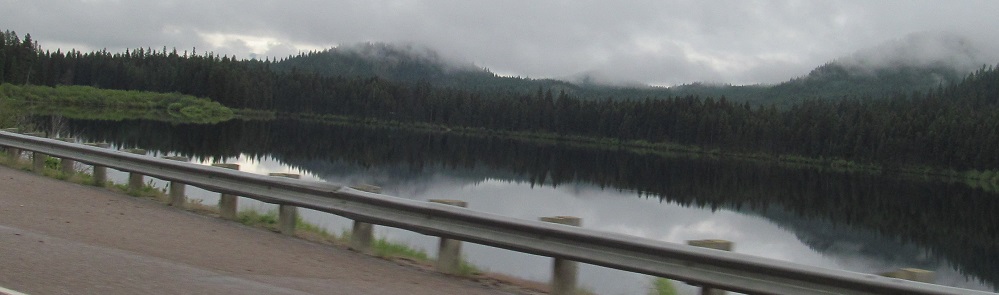
A trio of southward Thompson Lakes views. The first two are Lower Thompson, the last is Middle Thompson. Didn't get a good view of Upper Thompson.
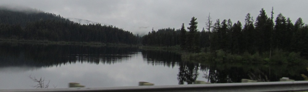
Loon Lake is another in the "Thompson Chain-of-Lakes" around Happy's Inn, although it's hydraulically distinct in its outflow from the Thompson Lakes (Fisher River vs. Thompson River). All of the lakes are to the southwest of US Route 2. Wapiti Mountain rises in the background of the first photo, and then I pan across the lake.
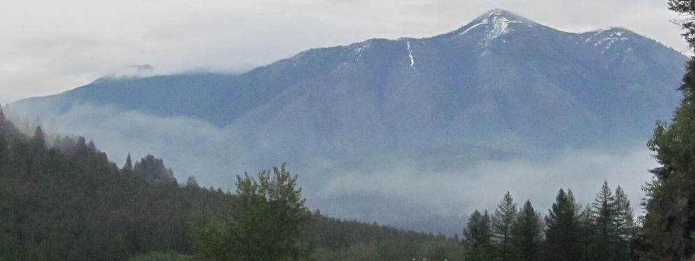
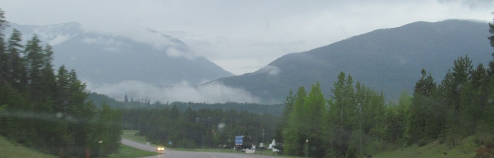
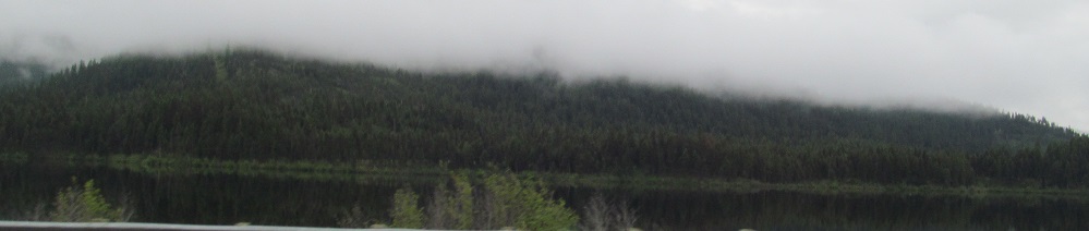
As US Route 2 follows the Fisher River's curve from west to north around the base of Porcupine Peak, Barren Peak rises ahead, or at least the base of it in the clouds.
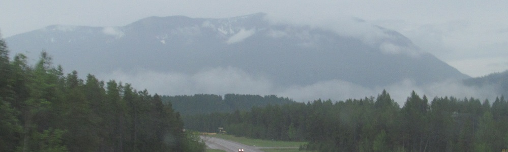
Horse Mountain is ahead on the left from there. Skipping ahead past Libby, Bobtail Ridge is on the right along the Kootenai River, which the Fisher River flows into. (The Thompson River flows into Clark Fork. Both Fisher and Clark then meet the Columbia River.) Did somebody bet on the nag?
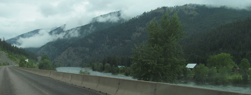
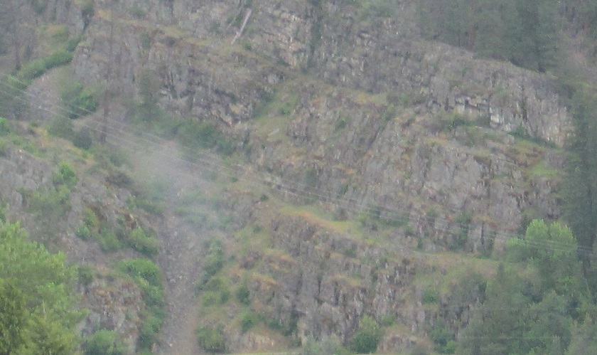
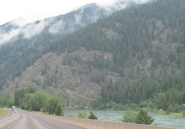
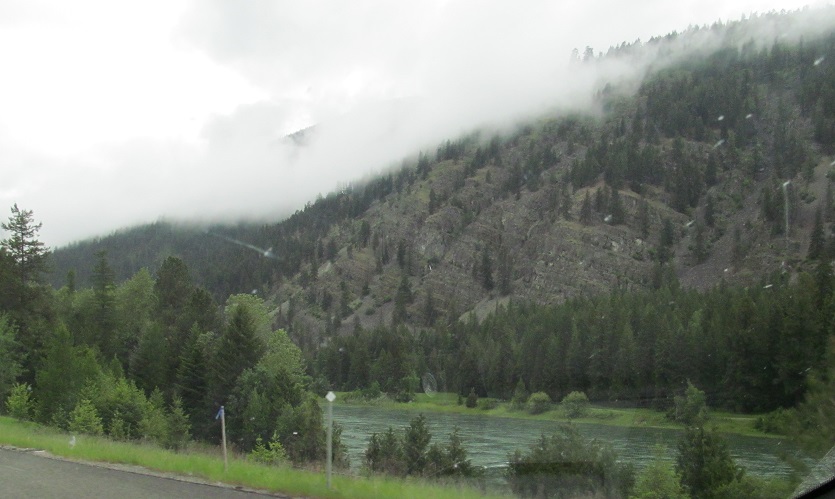
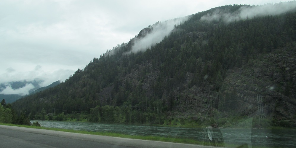
Just before I get to Kootenai Falls (see big link below), the eponymous river flows along Flagstaff Mountain. The rock is naturally forming patterns that normally would be due to dynamite blasting, indicative of the forces that thrust up the Rocky Mountains.
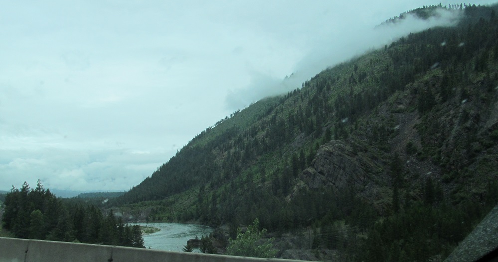
Leaving Kootenai Falls, the Rockies, and soon Montana.
Back east on US Route 2
Into Kootenai Falls
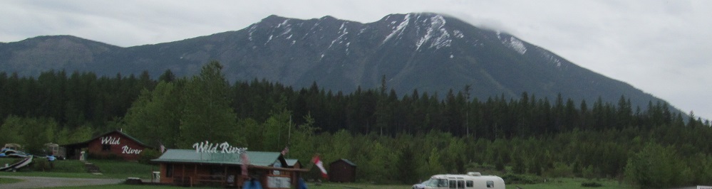
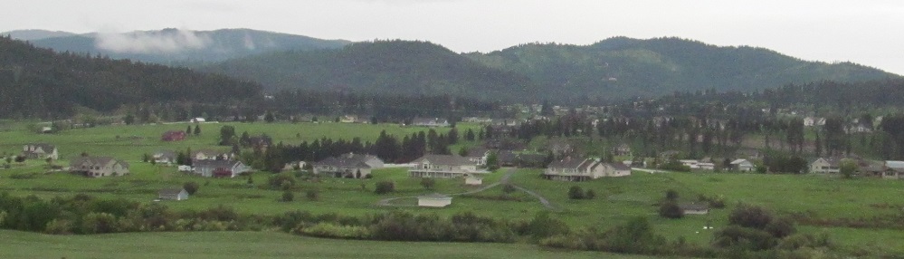
Kalispell
Back to US Route 2 main page
Into Idaho on US Route 2
Back to Montana Non-Roads
Back to Non-Roads main page