Montana - US Route 2 - E. of Cut Bank
US Route 2 east of Cut Bank
All photos were taken heading west.
Looking to the southwest as I cross into the state.
Looking north 10 miles west of Culbertson.
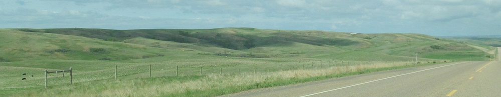
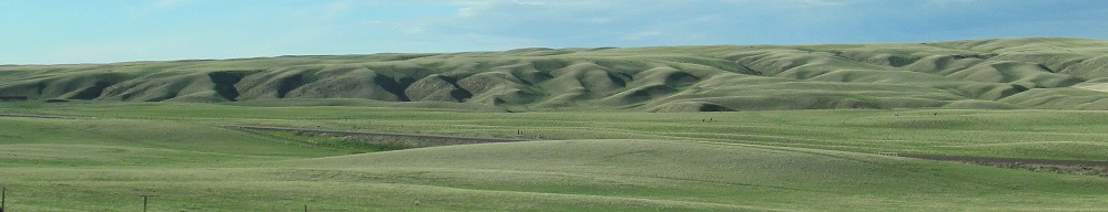
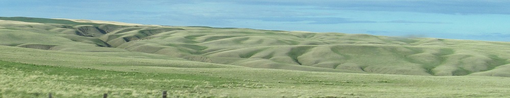
Starting west of Wolf Point (about 20 miles), I enter the Milk River coulee. The first two photos are the Milk River Hills, to the south across the Missouri River. The others are on the north side, ending a few miles east of Glasgow.
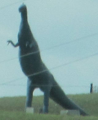
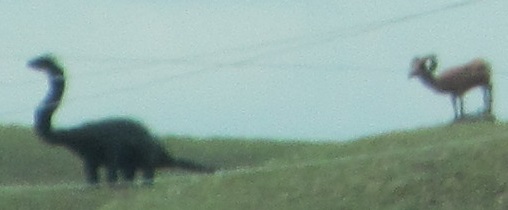
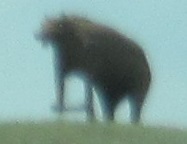
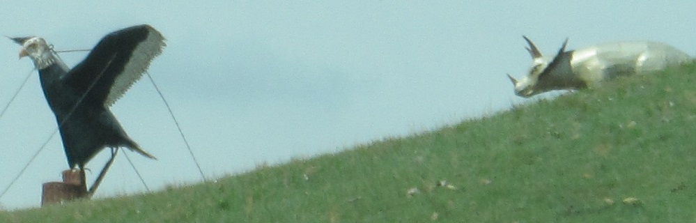
West of Glasgow, a man makes statues out of recycled metal drums and sells them. Who wouldn't want a giant metal dinosaur, bear, or eagle? (It didn't fit on the plane.)
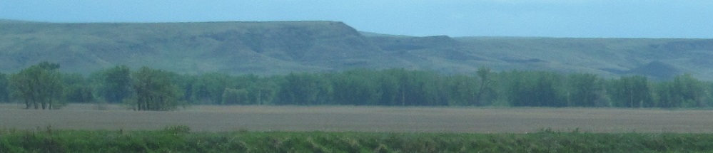
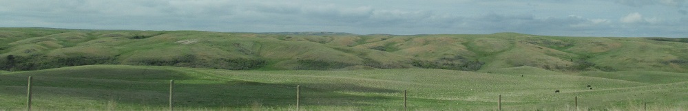
The Milk River Hills transition into the Larb Hills around Hinsdale.
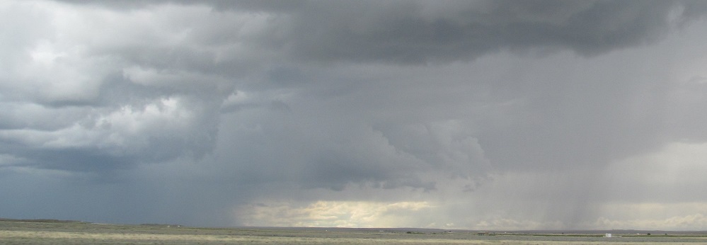
I love Western rain storms. You can see the rain from miles away, and usually you can see all of the rain clouds as well. It may even be sunny over where you are. I avoided the rain as I went through Malta.
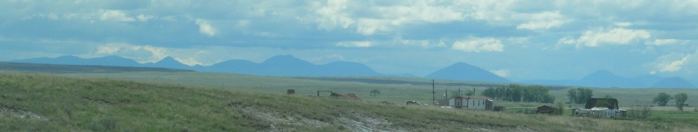
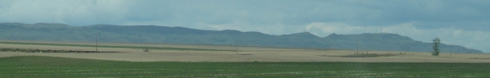
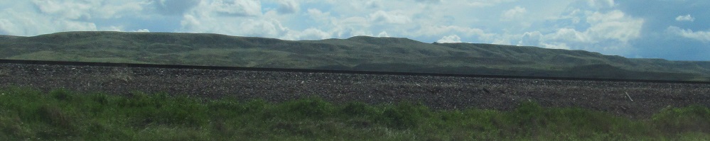
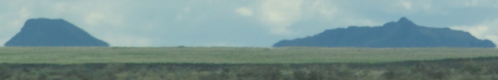
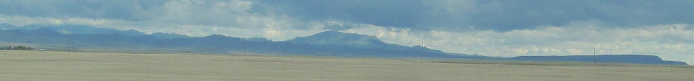
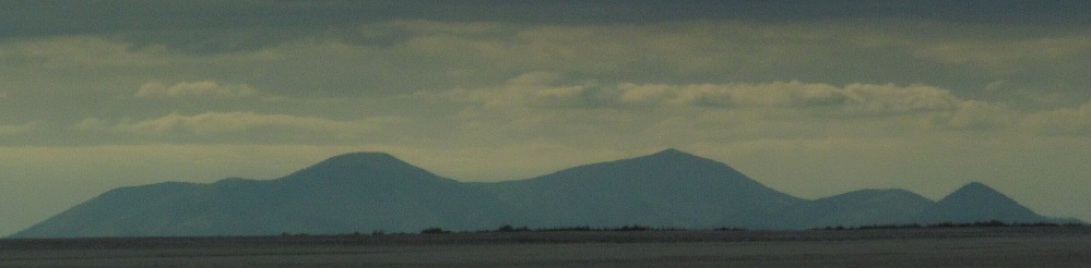
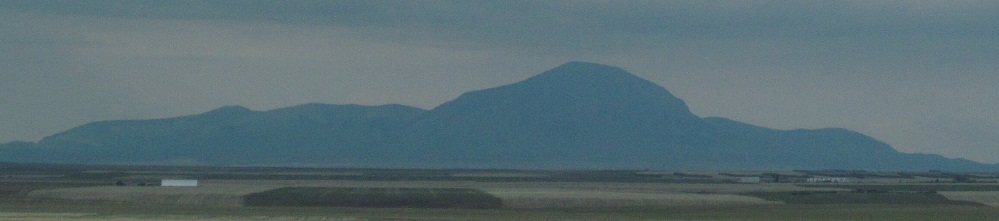
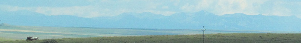
20 miles west of Malta, the Bearpaw Mountains occupy the scenery to the southwest, fronted by Myrtle, Miles, and McCann Buttes.
Panning from Snake Butte in the west across the Bearpaws to Three Buttes in the south.
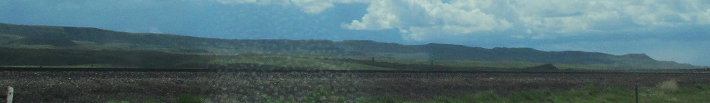
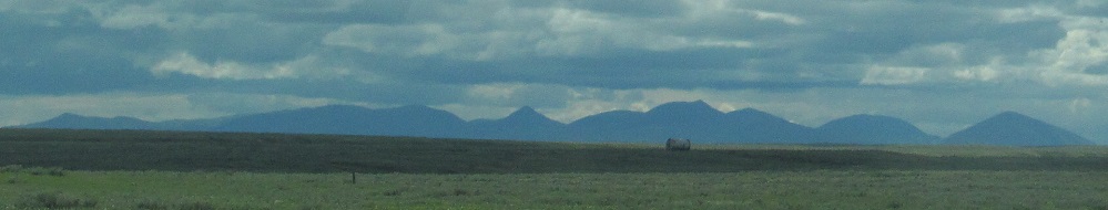
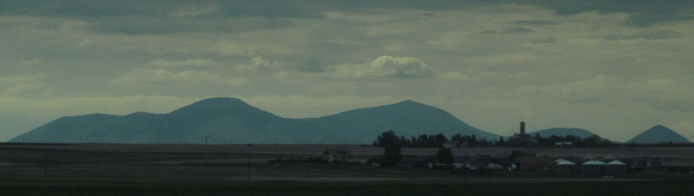
More views of the Bearpaw Mountains. The last two photos look south, left and right, at the very west end of the range west of Havre, with Haystack Mountain standing out among Wild Horse Ridge, leading into Square Butte on the right.
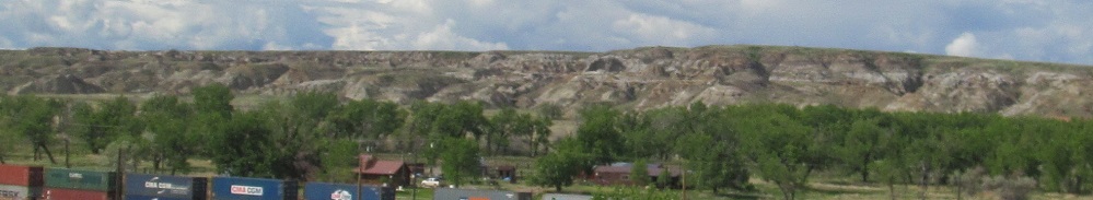
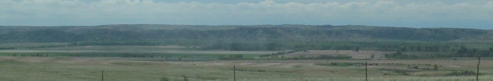
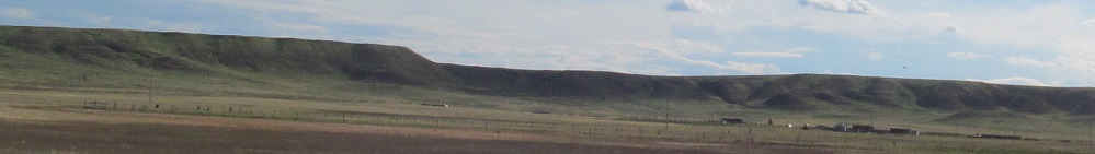
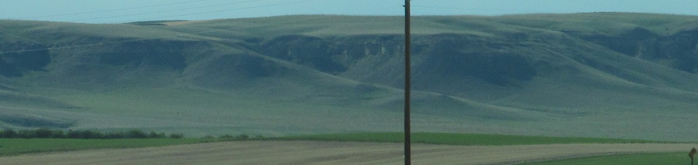
The Milk River Badlands are to the north leaving Havre.
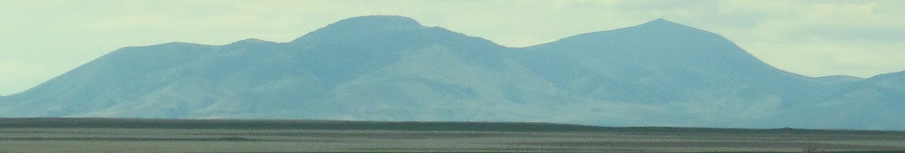
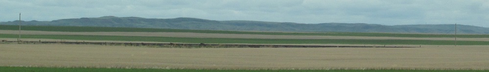
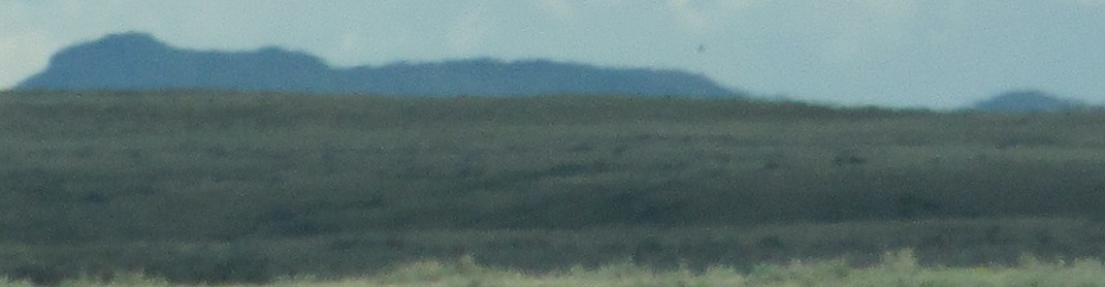
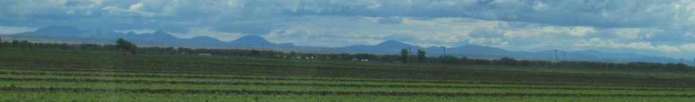
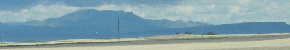
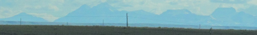
The first and last photos are 28 minutes apart, but they show the same mountains: Mt. Royal, Mt. Brown, and Mt. Lebanon, part of the Sweet Grass Hills to the northwest. They're 55 miles away in the first photo! It's amazing how visible scenery is across the flat prairie.
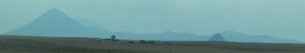
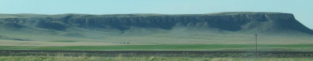
The three aforementioned mountains are collectively known as East Butte. This is Middle Butte, which includes the conical Gold Butte on the left. Haystack Butte stands alone in front (center right).

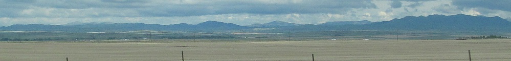
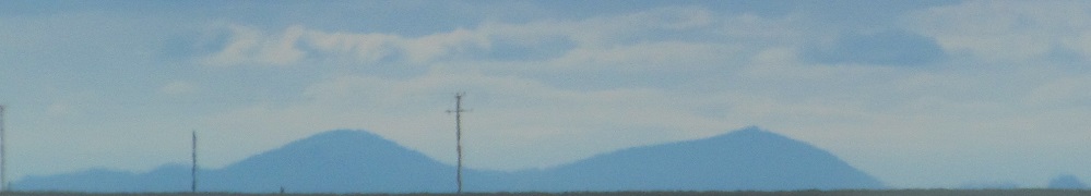
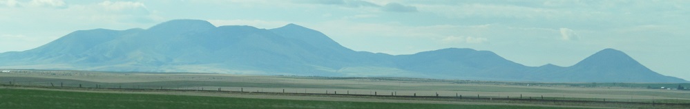
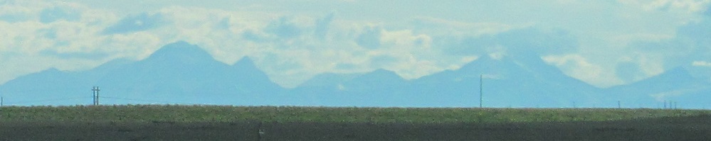
Between Chester and Shelby, I can see West, Middle, and East Buttes. From this angle, Haystack Butte is separate between Middle and East.
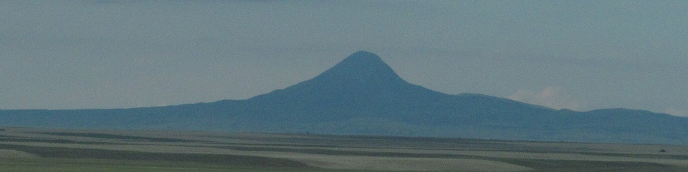
Closer views of West and Gold Buttes.
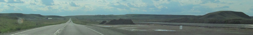
Looking west and south leaving Shelby.

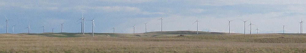
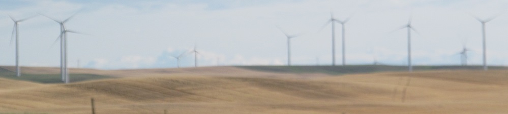
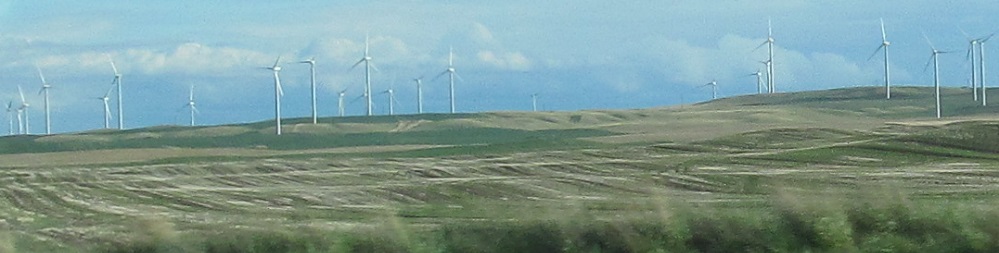
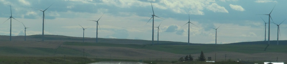
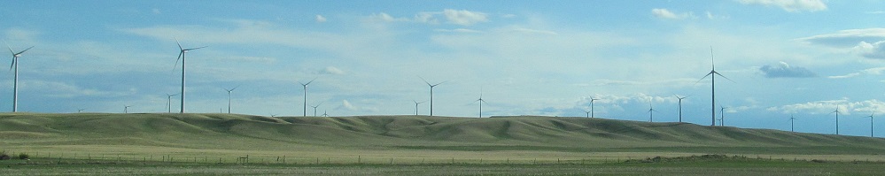
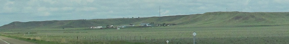
There's a wind farm on my left. I love wind farms.
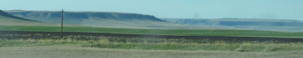
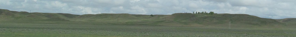
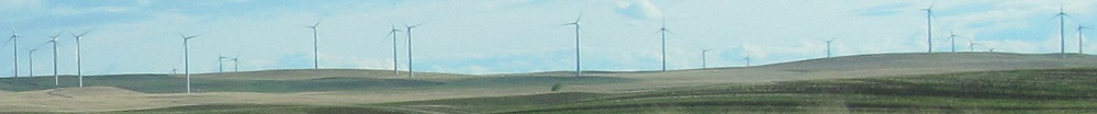
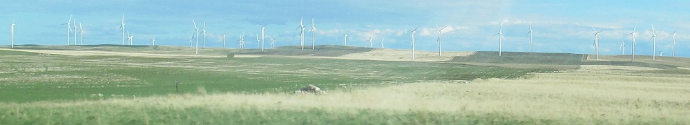
Rolling hills on my right in Ethridge, leading into low buttes. Is that another wind farm?
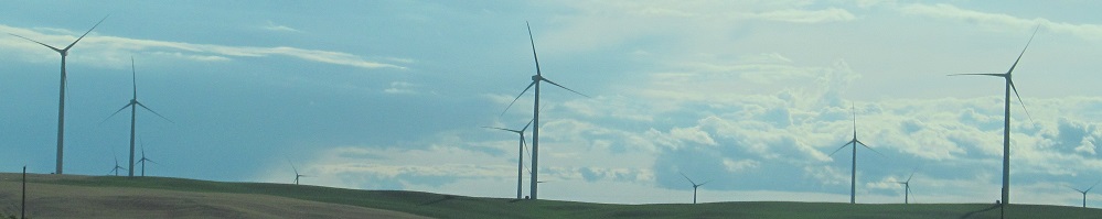
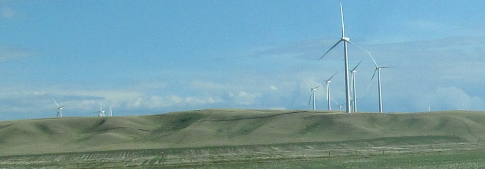
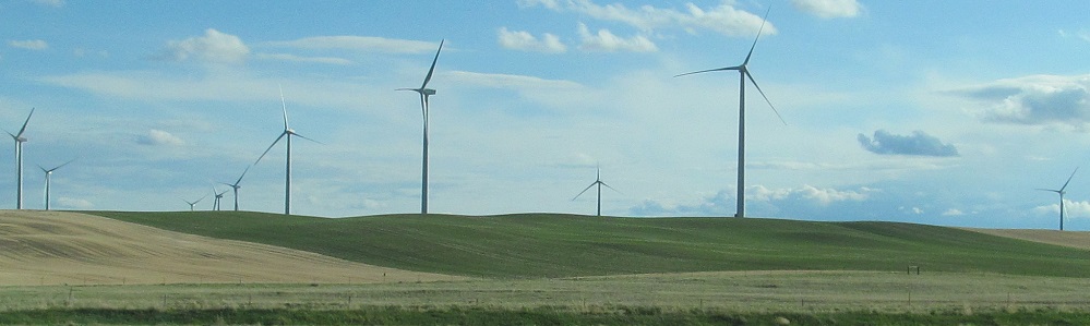
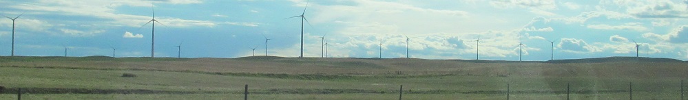
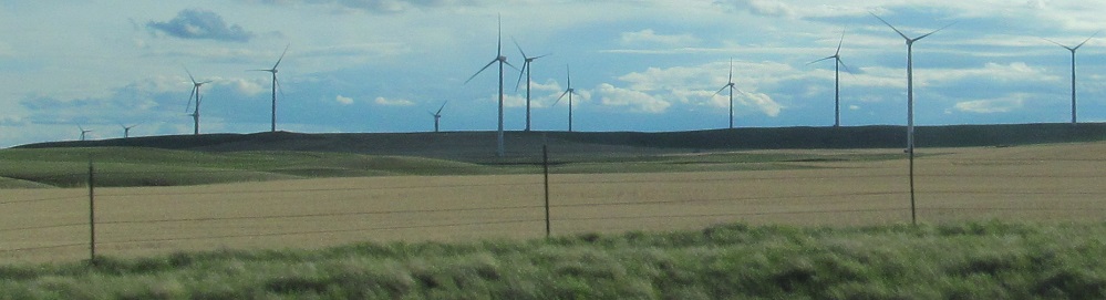
You will love wind farms too.
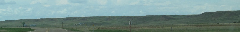
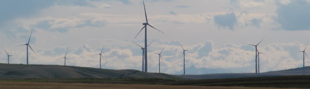
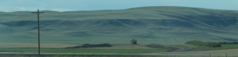
More hilltastic scenery on the right.
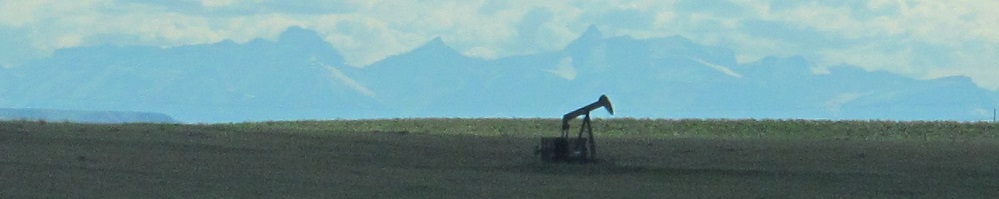
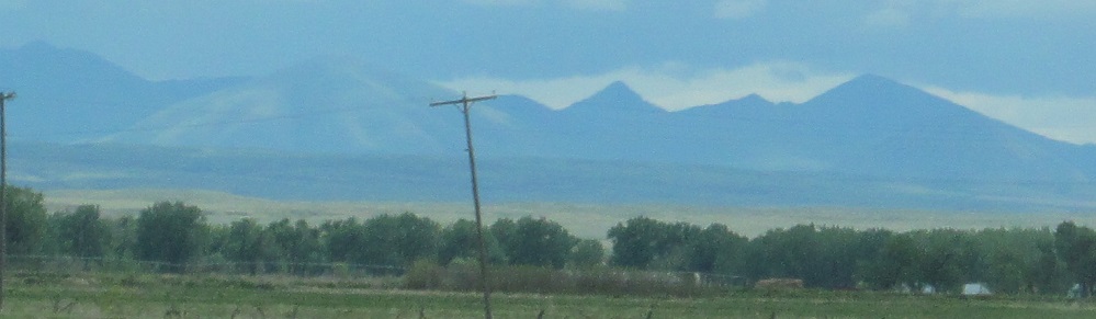
I took the first 3 photos out of a single shot of the oil derrick. From south to west, these are your Rocky Mountains, fronted by the Sawtooth Range. This is actually the Continental Divide; most of the Montana Rockies drain west.
Continue west on US Route 2
Into Shelby
Malta
Havre
Back to US Route 2 main page
Into North Dakota on US Route 2
Back to Montana Non-Roads
Back to Non-Roads main page