Misc. - Aerial photos - 2011 - W. to CA
Aerial photos heading west to California, 2011
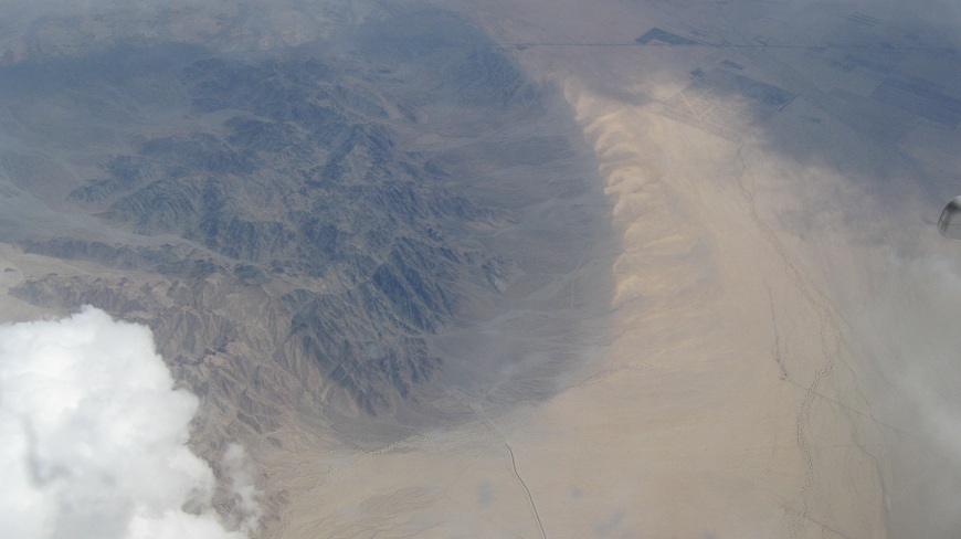
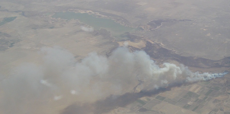 Fire plus wind.
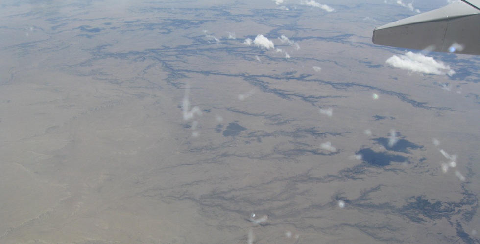
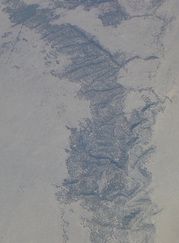
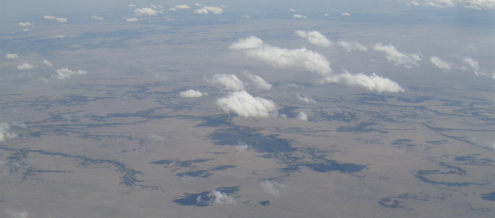
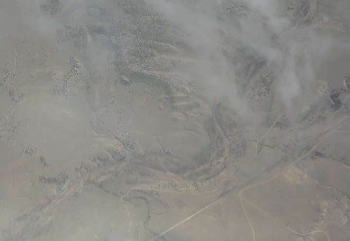
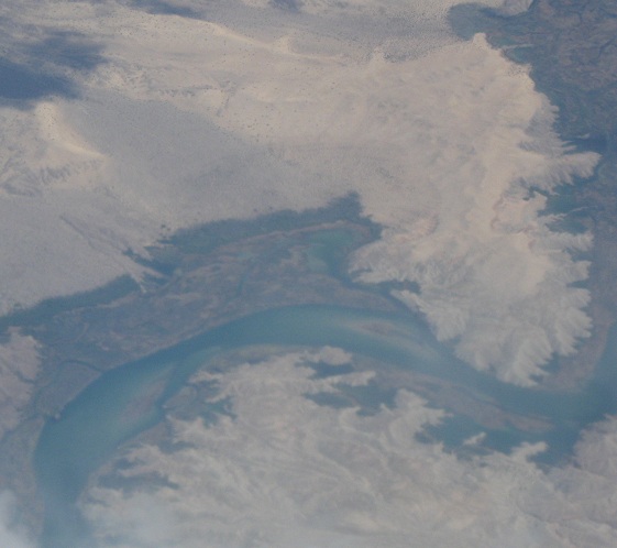
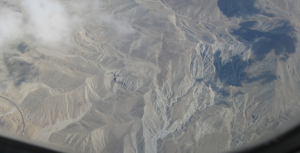
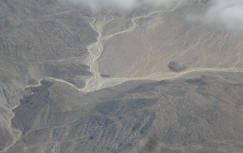
In the dry foothills of the Rockies, where vegetation follows river paths closely.

It's not easy from 6-7 miles away, but enough zoom and I can make out that one of the two directions of this divided highway is on a truss bridge. Don't ask where I am, though - all I know is that the truss is somewhere approximating the westbound direction.
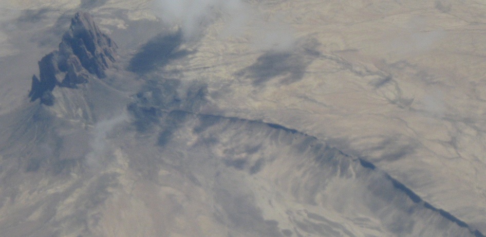
Can anyone identify the rock formation at the end of this ridge? I'm somewhere between the Mississippi River and Pacific Ocean.
That last photo may have been rotated, just a little bit. "Up" is about 70 degrees left.
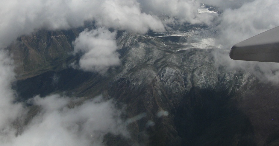
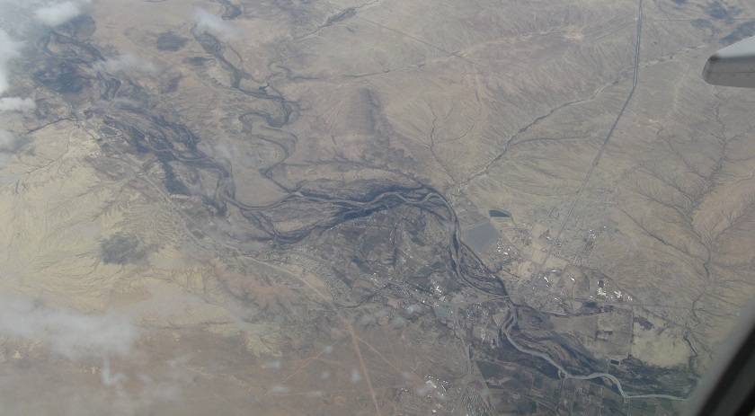
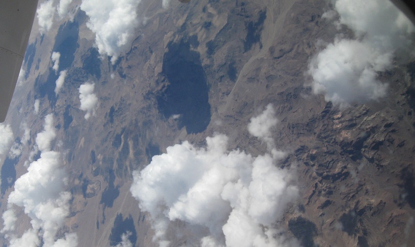
From shade to sun and from desert to snowy peaks. Somewhere in here is likely the Continental Divide.
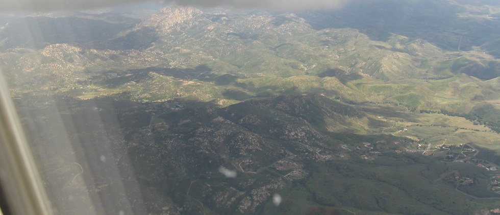
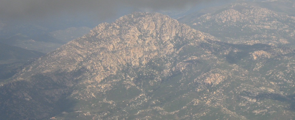
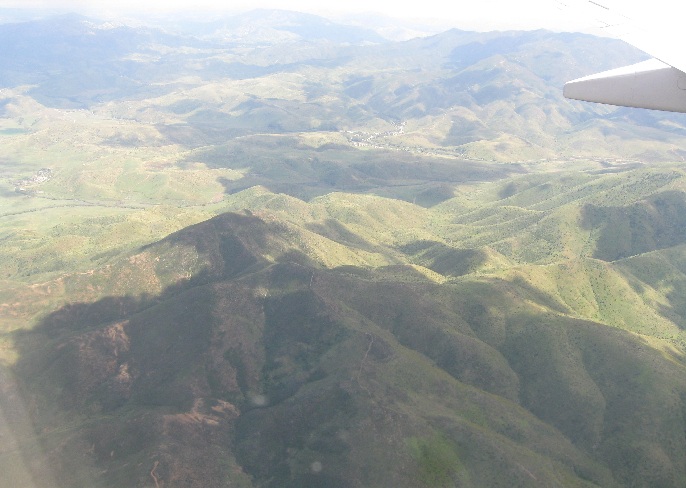
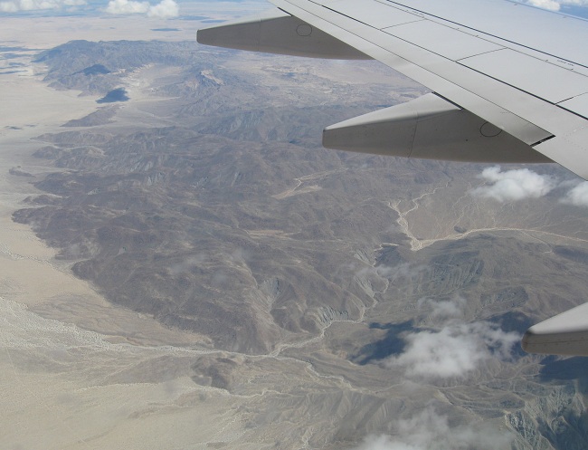
The foothills of southern California as the flight approaches San Diego. These mountains look very similar to those in Mexico - bald peaks with a lot of boulders - and you can see some ground views on the California US 66 pages.
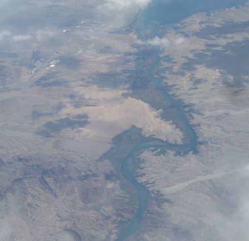
Reverse direction and head east over canyons
Continue east past the canyons
Back to aerial photos main page
Back to Misc. Non-Roads
Back to Non-Roads main page