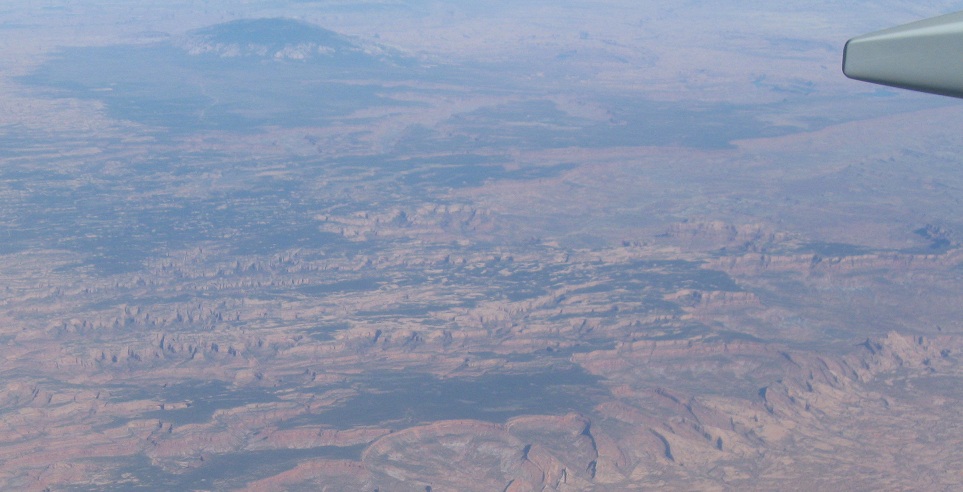
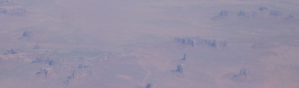
Misc. - Aerial photos - 2011 - E. from canyons
Aerial photos heading east from the canyons, 2011
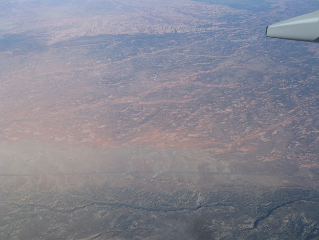
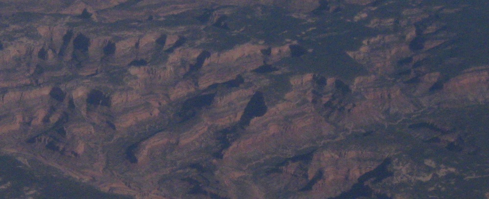
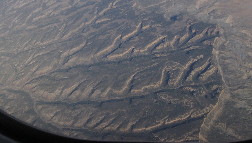
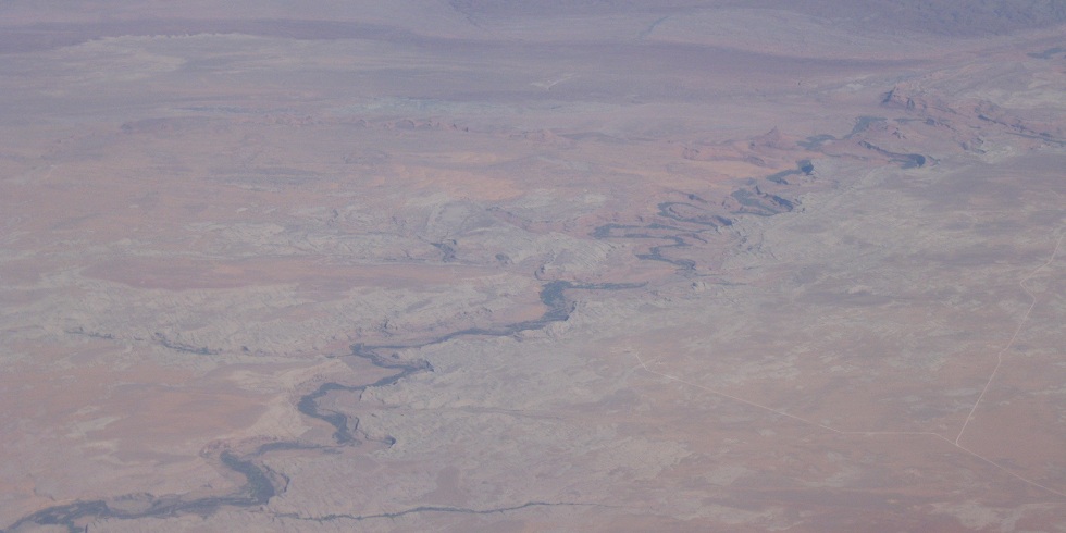
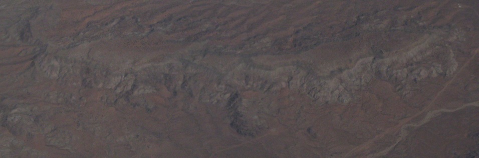
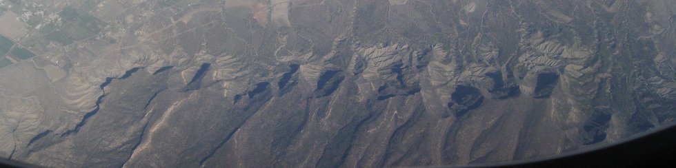
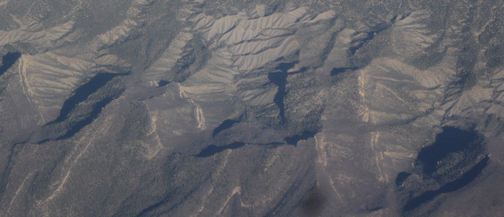
Across the ridge line marking the end of the really cool canyons, and on to greener land and smaller canyonettes. (I needed to divide the pages up somehow, so pretend with me that these aren't canyons anymore.)
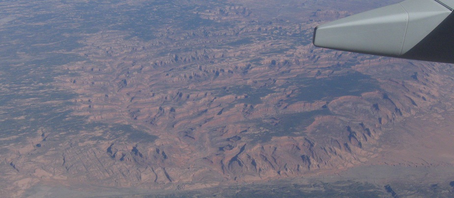
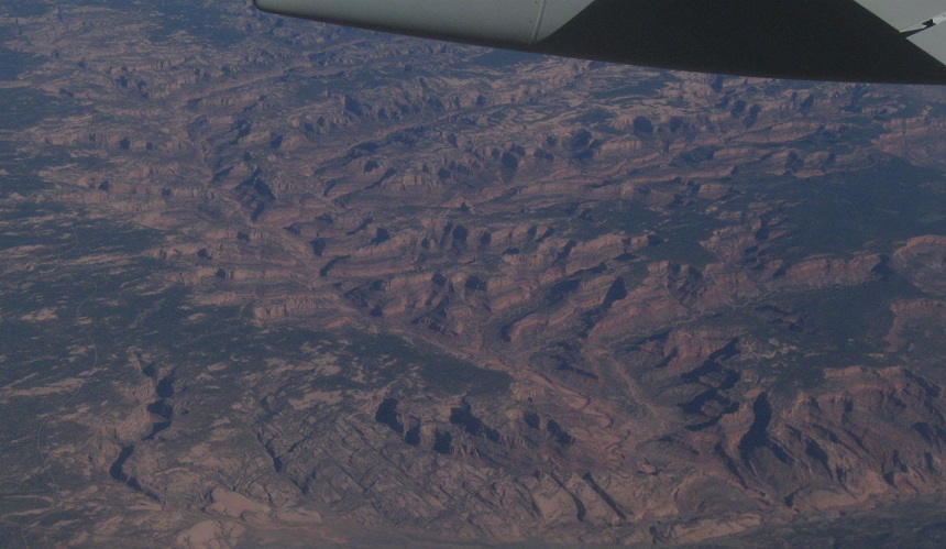
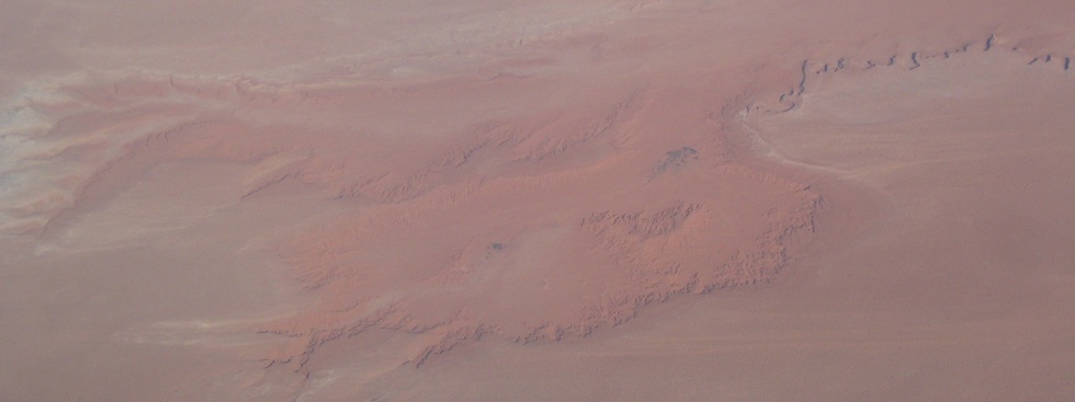
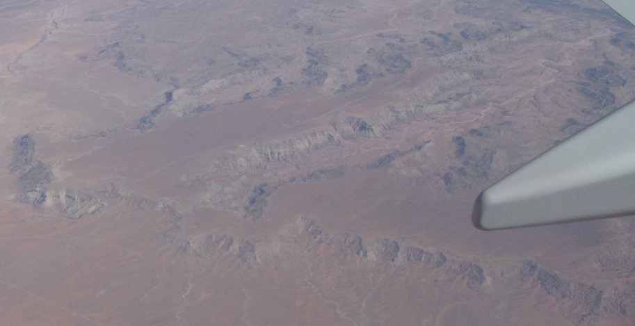
Okay, this is really the end of anything reasonably canyonlike. On a side note, zoom works very well for photos from airplanes.
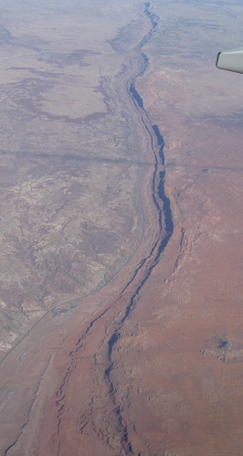
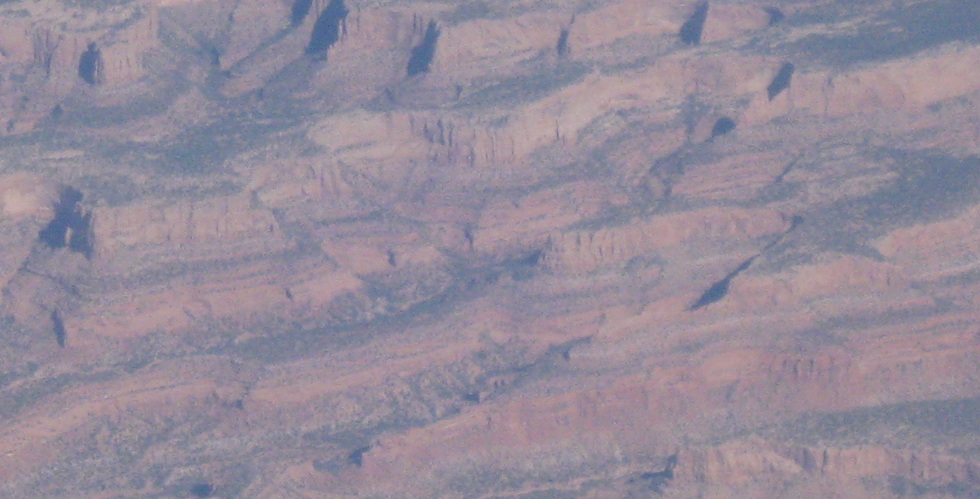
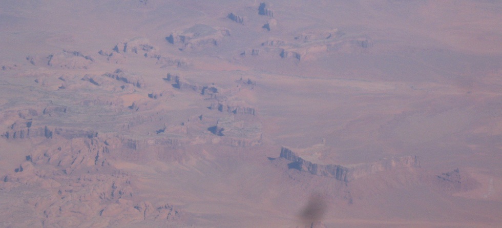
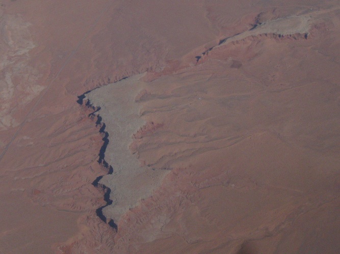
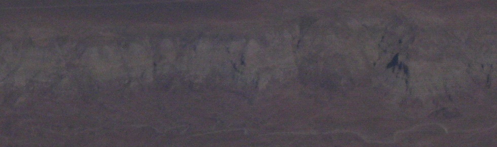
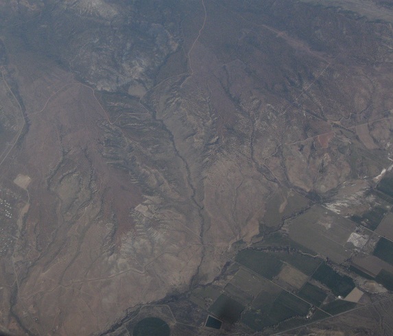
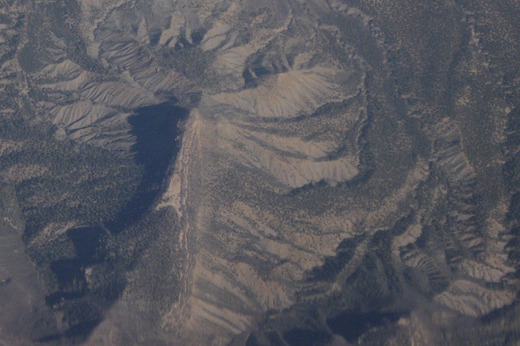
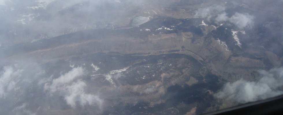
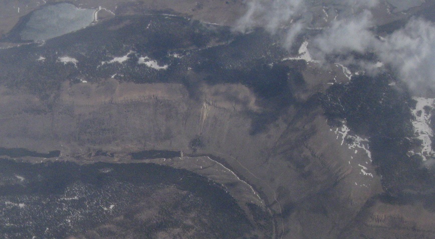
Interesting formation here - there's a cliff dividing the lower land to the east, but then the canyons actually carry the water away from it to the west instead of through the face of the cliff. Thus the canyons are at higher elevations than the land just a few feet away.
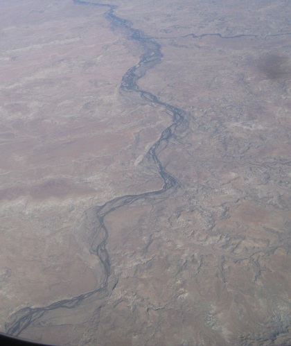
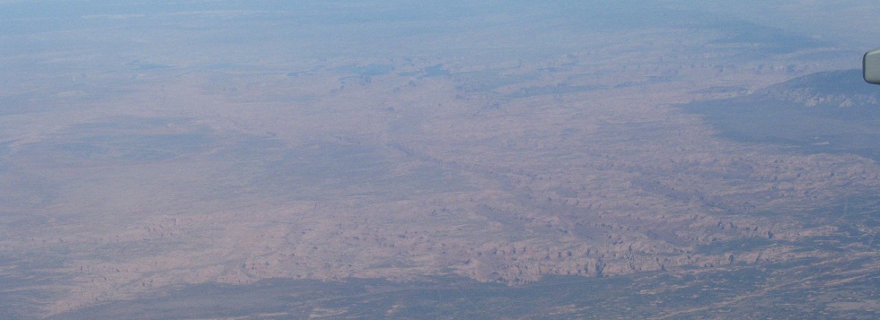
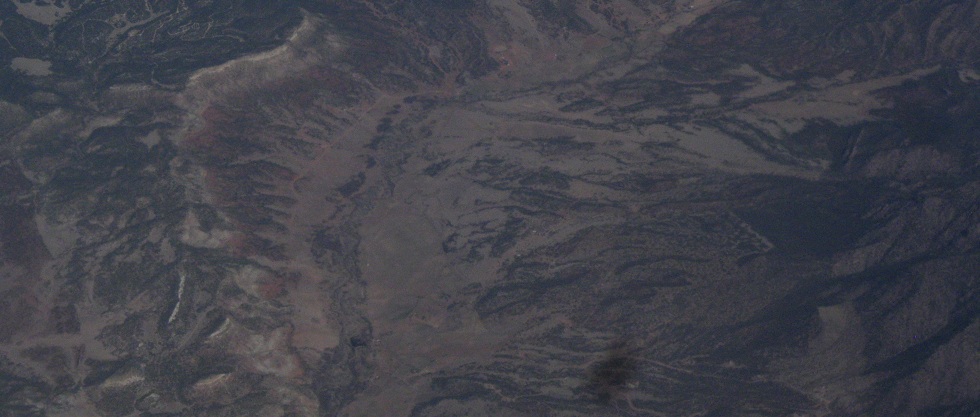
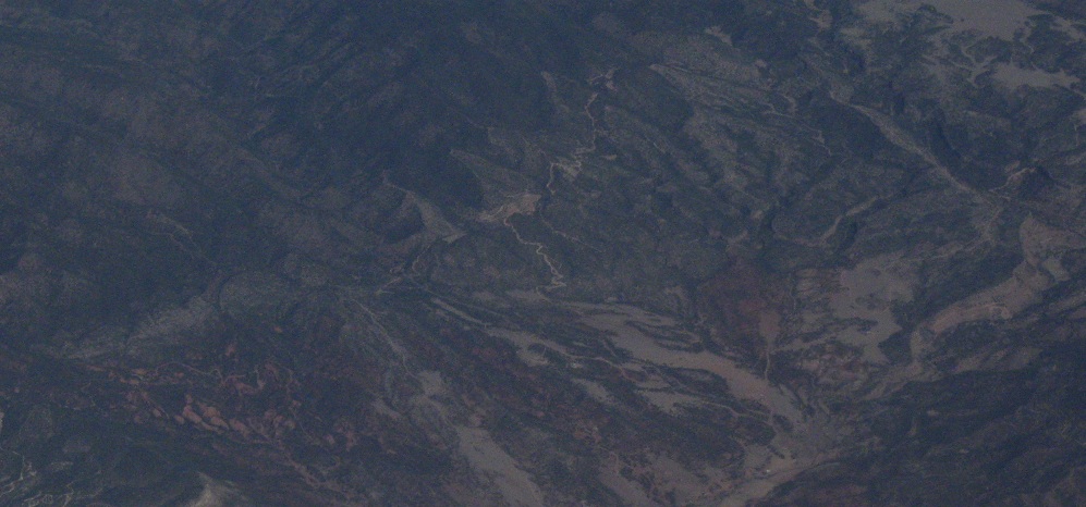
It gets a lot drier until I get to the southern reachies of the Rockies. Red is generally the color of eastern Arizona, fading to shades of gray (and some yellow in intermediate layers) upon reaching New Mexico.
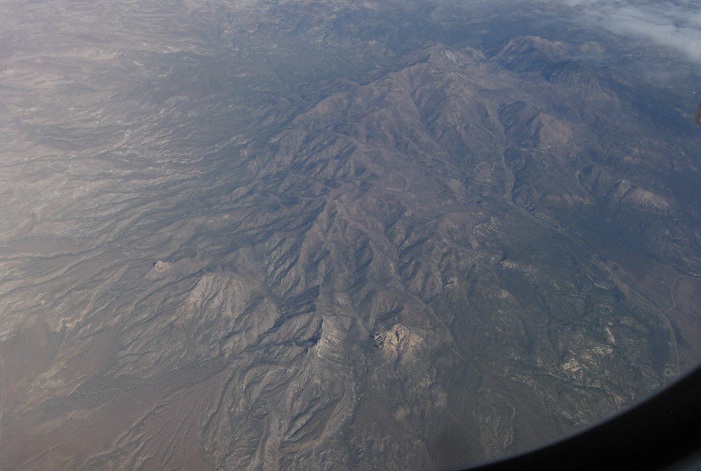
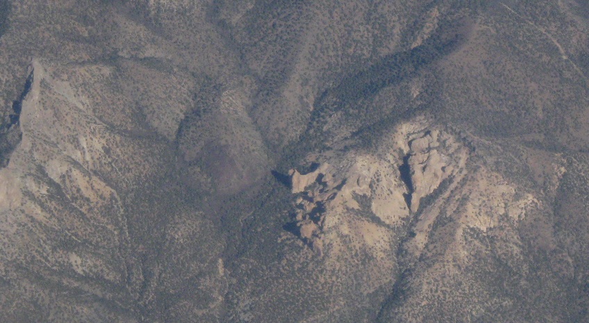
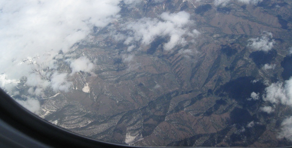
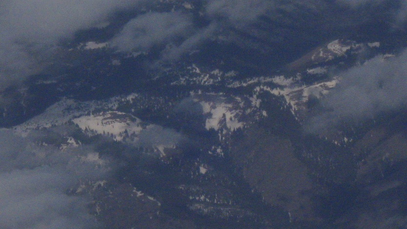
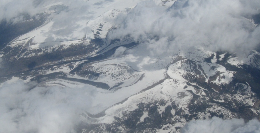
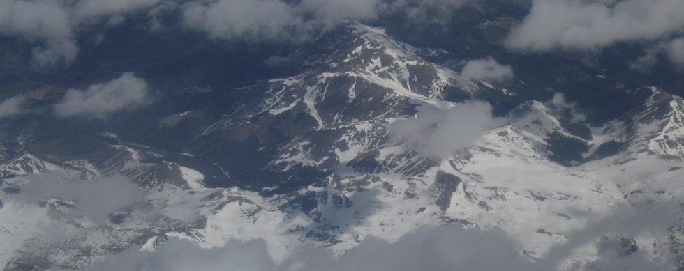
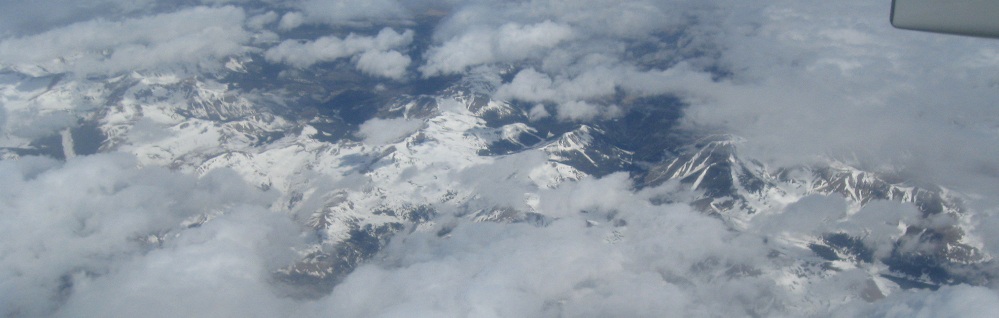
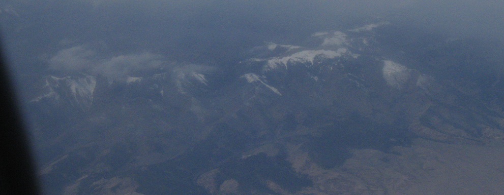
Through the mountains. Oh, hey, that was fast. Down here, the peaks of Colorado fade into a long plateau and just this little bit of ridges and peaks.
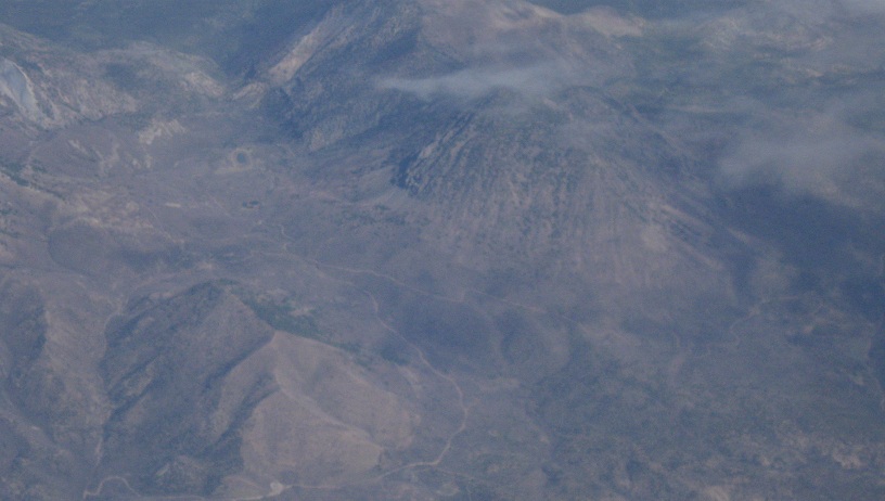
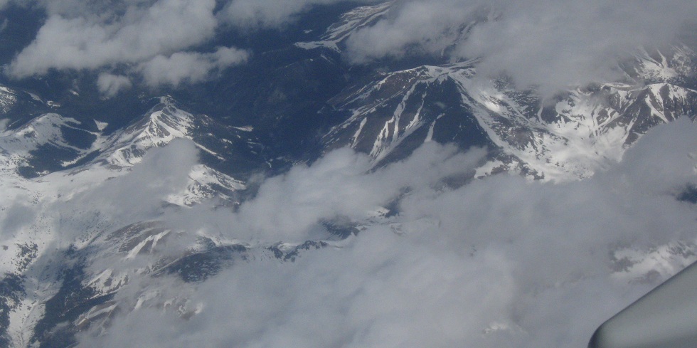
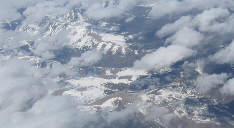
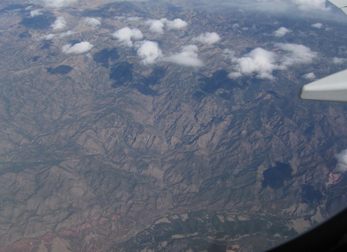
Civilization creeps up to the habitable edge of the mountain range.
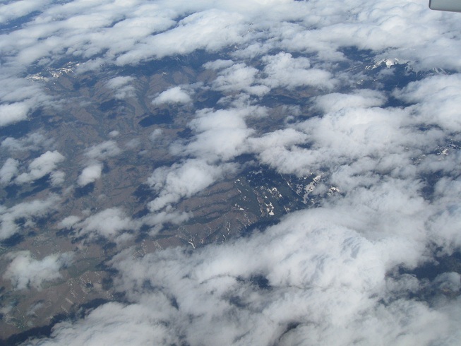
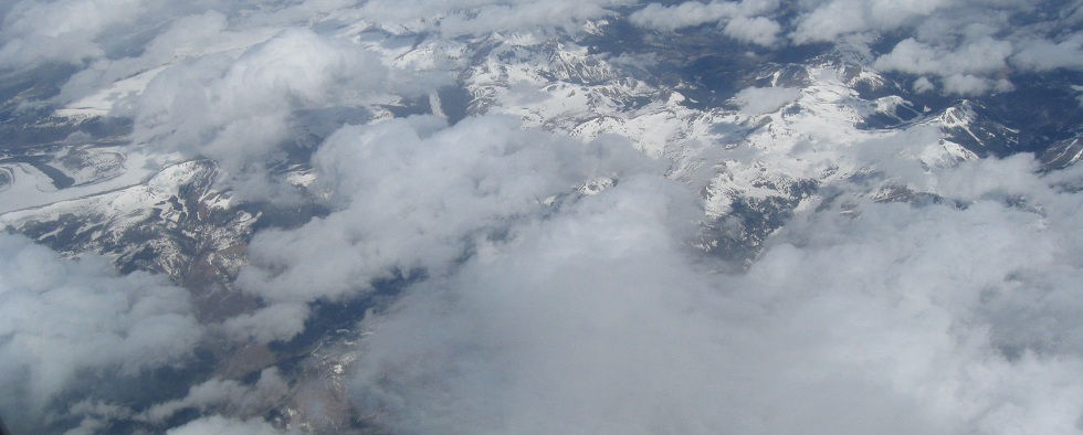
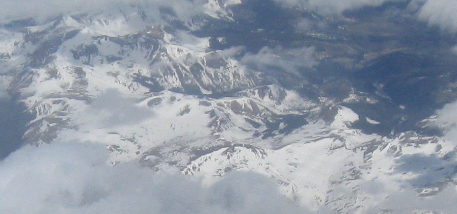
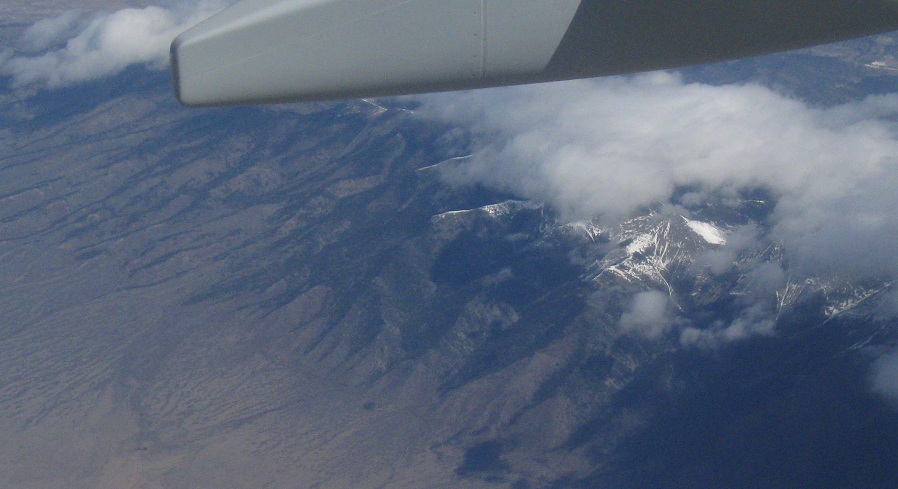
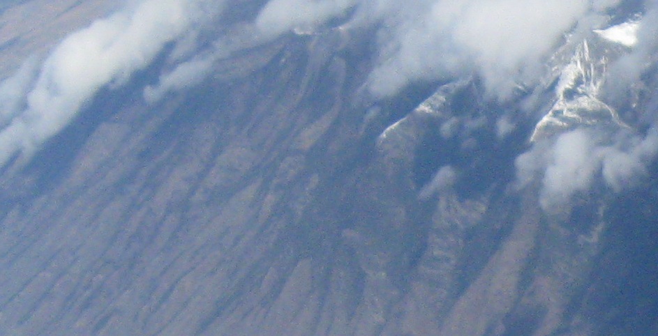
Hmm. There seem to be more mountains. Considering the plane has to head north to get back to New Jersey from San Diego, it's no surprise that we cut the corner of New Mexico and came up through Colorado. No plateau for me!
And then another 1,000 miles of flat.
Back west, over the canyons
Reverse direction and head west
Back to aerial photos main page
Back to Misc. Non-Roads
Back to Non-Roads main page