Michigan - Lake Michigan
Lake Michigan


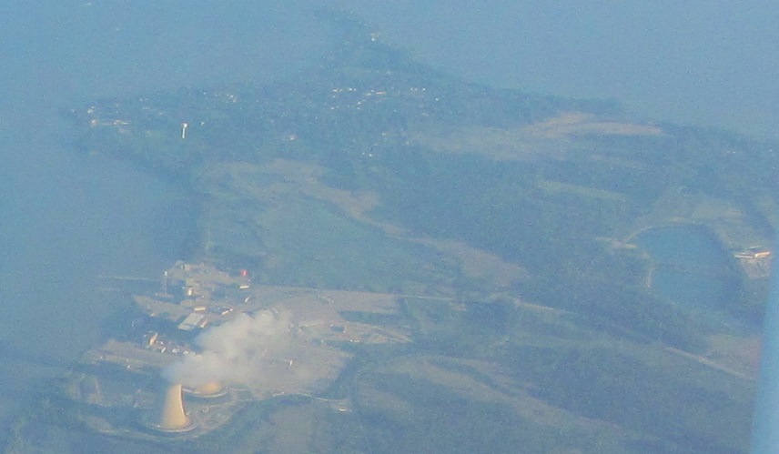
US Route 131 northbound approaching Petoskey and Little Traverse Bay.


US Route 31 heading south along Little Traverse Bay near Nine Mile Point, and a swan. Oh, you want to know why the swan? Talula the Swan was a 1966 parade float to carry Miss Elk Rapids in the National Cherry Festival and Harbor Days parades. She was then preserved outside the Elk Rapids Chamber of Commerce. Her beak has since been painted black to mimic the native trumpeter swan.


Approaching Traverse City, this is the East Arm of Grand Traverse Bay, looking left and right.


Leaving Traverse City, this is also the East Arm, seen from Highway 37 heading north on Old Mission Peninsula.


Just south of Mission Point, Highway 37 touches the West Arm of Grand Traverse Bay, so I have captured these photos thereof.


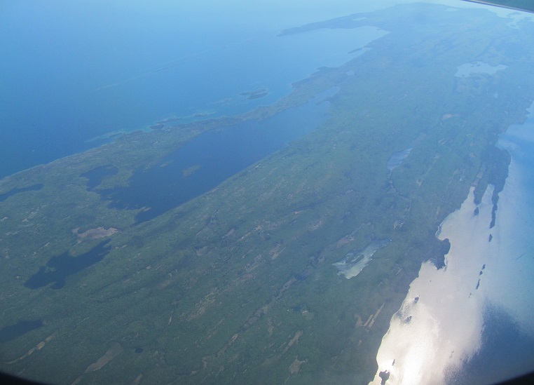
I headed back south by a different route closer to the West Arm, which is what I've photographed here. The land in the lake you see in all 4 photos is Marion Island.


Back up to Petoskey, this time heading northeast on US Route 31, looking left along Little Traverse Bay.


The sand dunes tell you that you're mere feet from Lake Michigan, but it's not to be seen along Lake Shore Drive, the continuation of Highway 119 (Tunnel of Trees) north of Cross Village.

Looking north and west from McGulpin Point, the northernmost extremity of the Lower Peninsula. St. Helena Island is the bar to the left, and the rest of the greenery is the Upper Peninsula.
Mission Point Lighthouse
US Route 31 road photos
Highway 37 road photos
Back to Michigan Non-Roads
Back to Non-Roads main page