California - Old US 99 - In Shasta Lake
Former US 99 in Shasta Lake
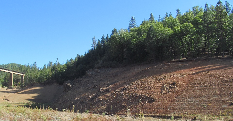
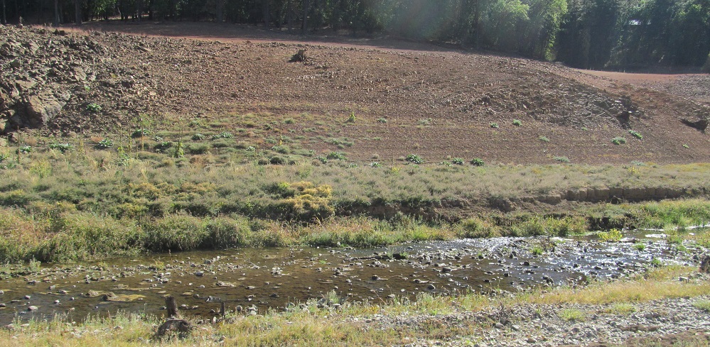
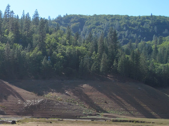
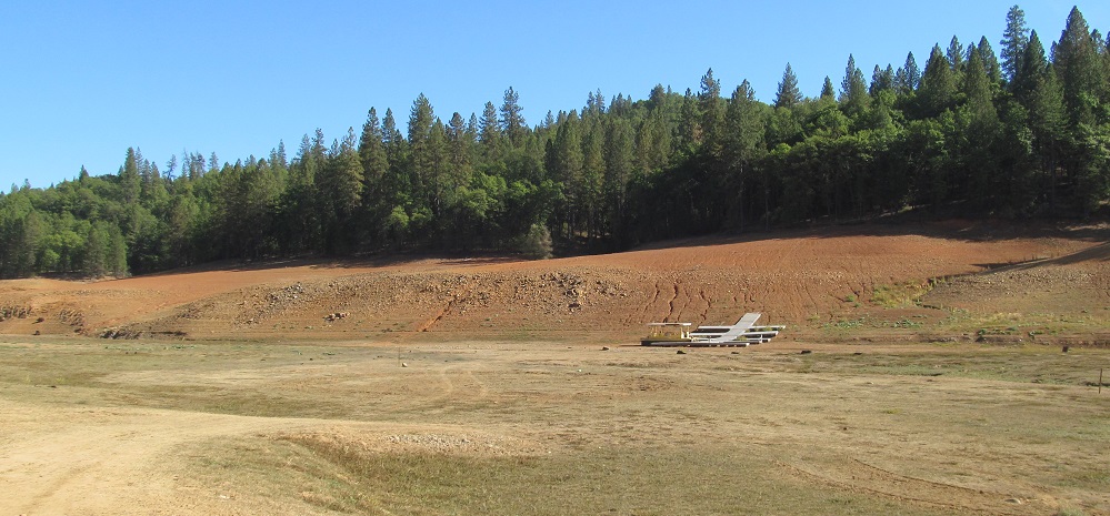
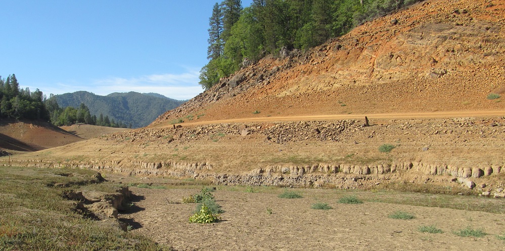
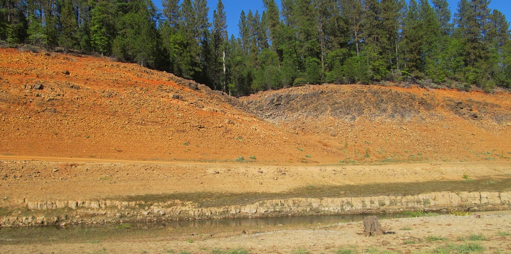
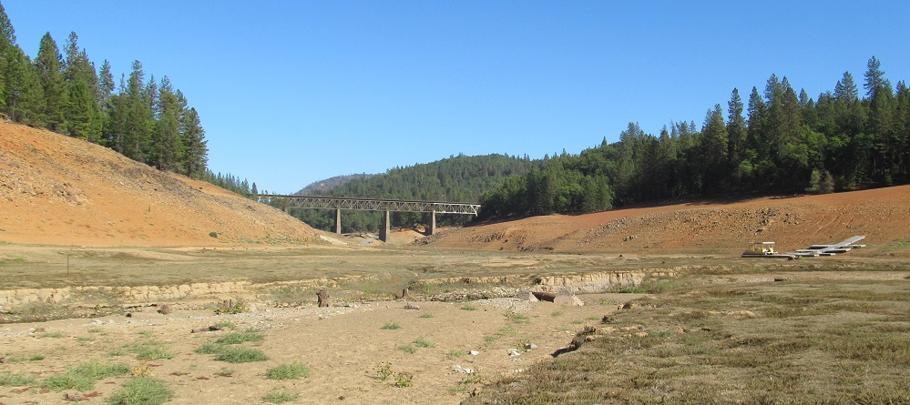
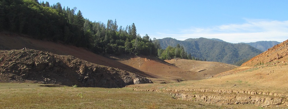
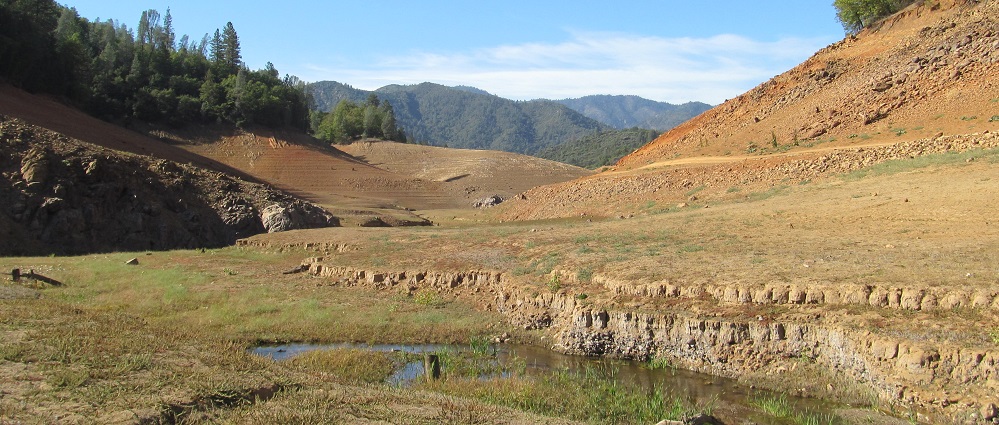
All photos here are from the bed of Salt Creek Inlet about a mile west of I-5, taken at peak drought in 2014.
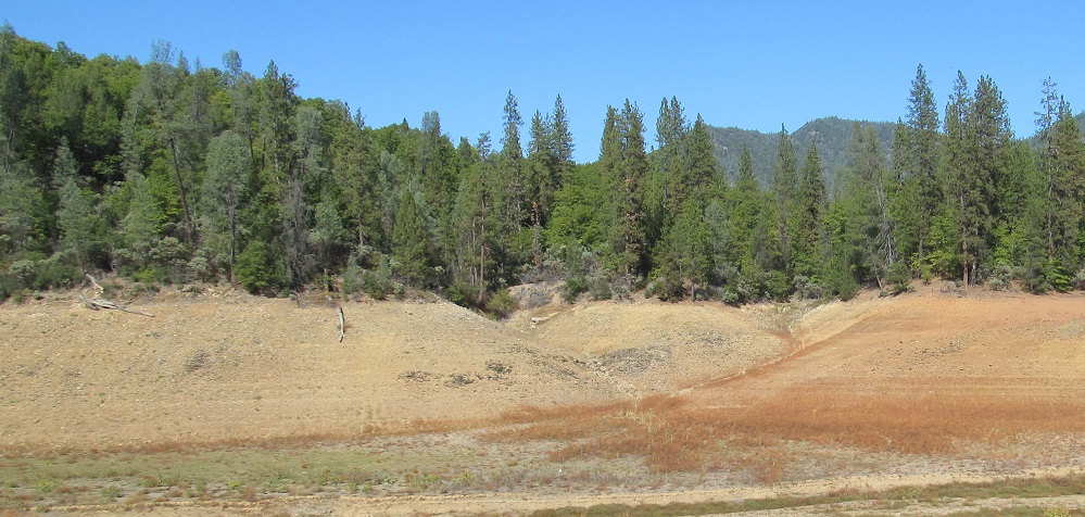
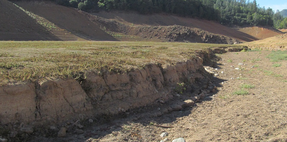
South (left and right) and north (left and right) shores of the inlet just west of the overcrossing railroad bridge by the end of Salt Creek Lodge Road. For a limited time only, the road became a trail straight to the bottom of the lake, enabling these rare scenes that resemble life before the lake (albeit without several feet of vegetation under the usual water level).
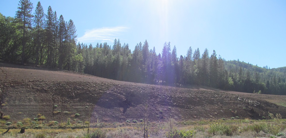
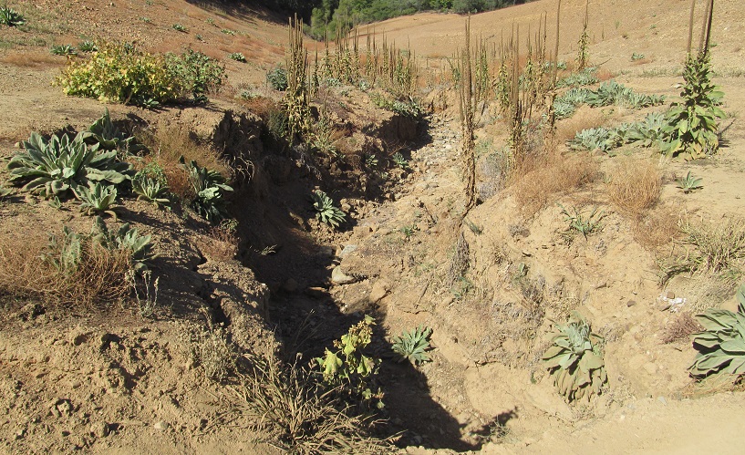
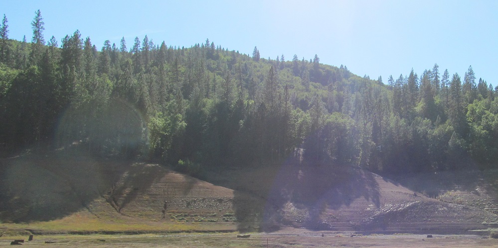
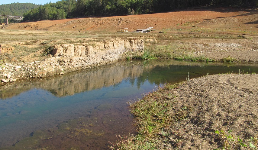
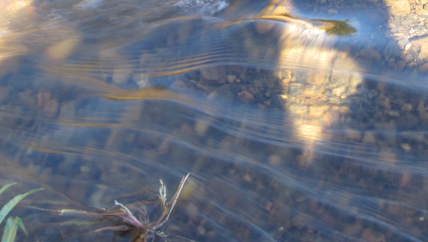
More of the south side, featuring the autumn sun, and a photo of what was once a rivulet feeding into Salt Creek on the north side. The dam was completed in 1945 and the lake filled in 1948, not enough time for the relatively calm waters to erode the bed smooth.
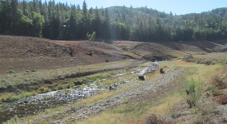
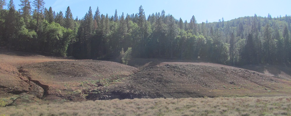
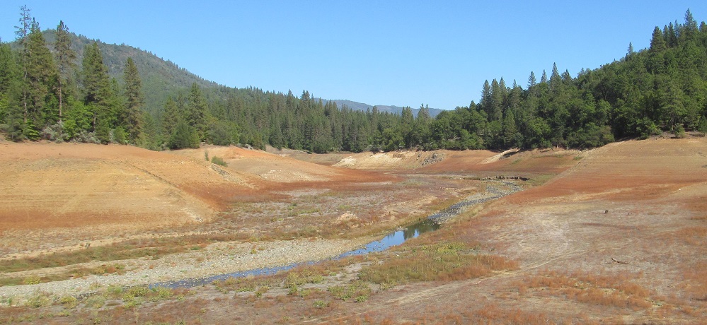
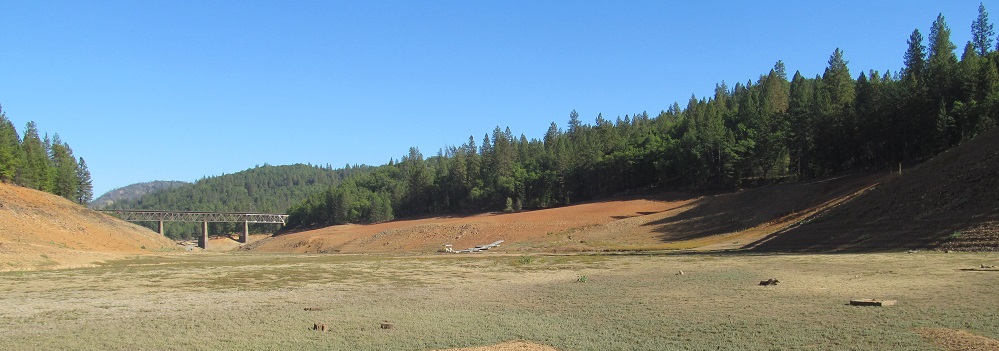
Back to the south side, and southward views as I head west along it. No boats are going to tie up at that dock for a long time.
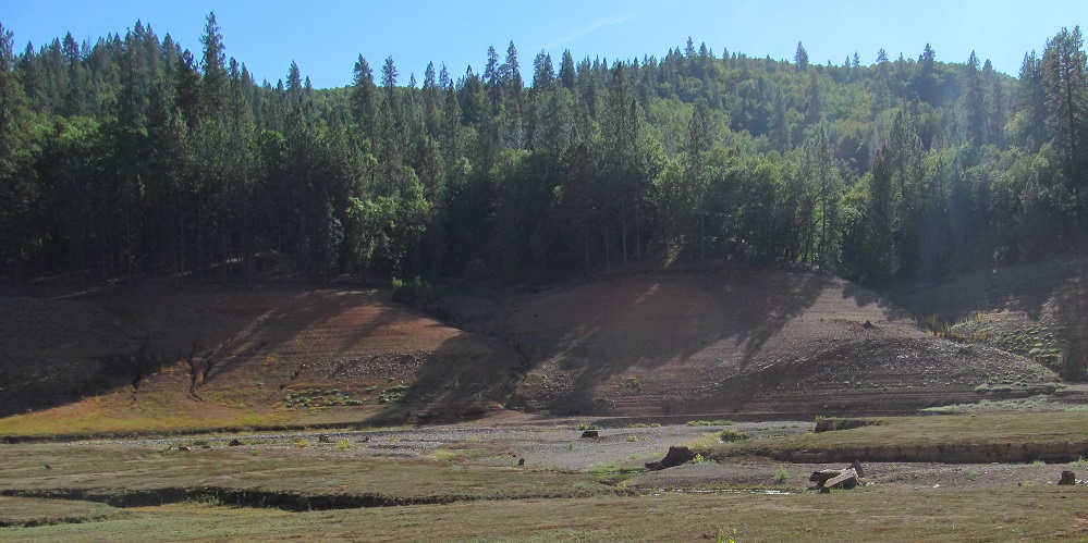
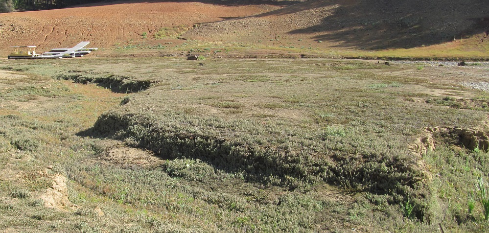
A long panorama from west to southeast on the far side of the dock.
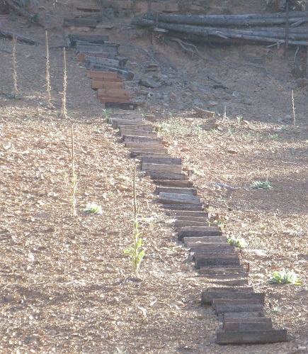
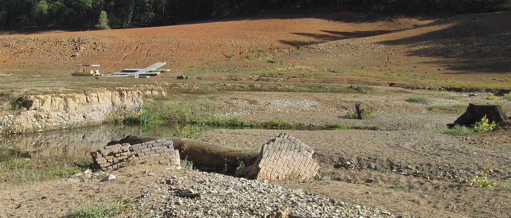
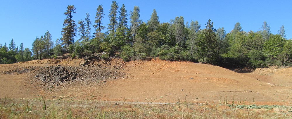
The stairs are as useful as the dock. Those ruins are as useful as the stairs. It's cool to consider those bricks have been underwater for almost 70 years as of this photo.
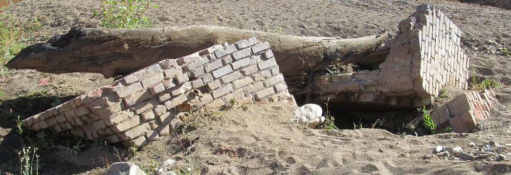
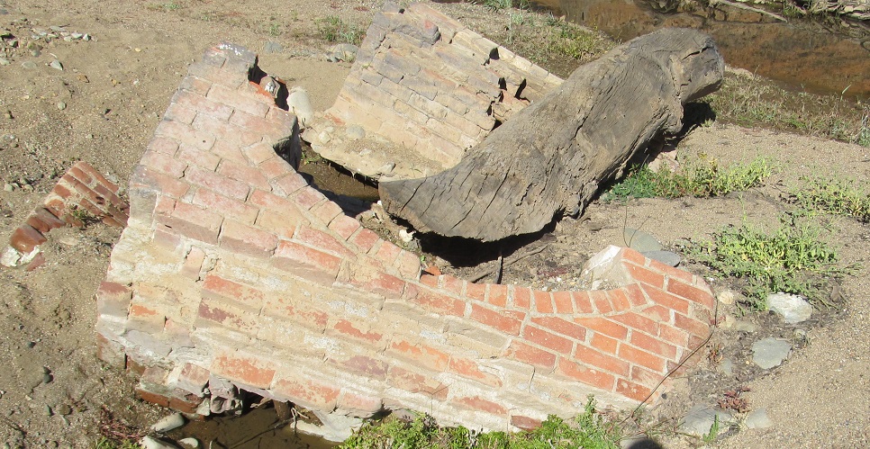
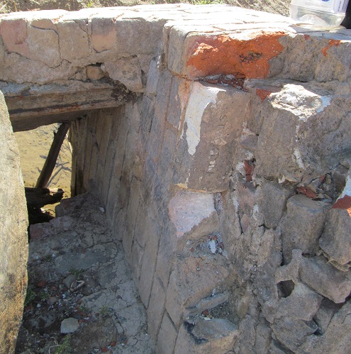
As near as I can tell, they're from an old fireplace or oven.
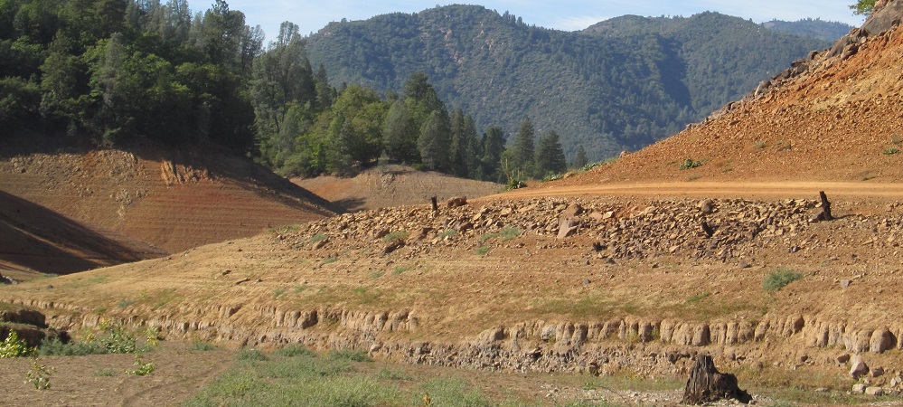
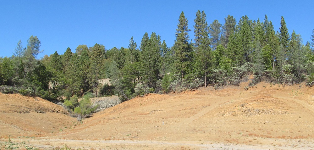
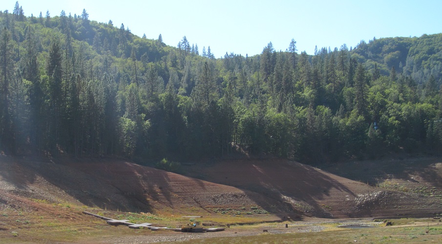
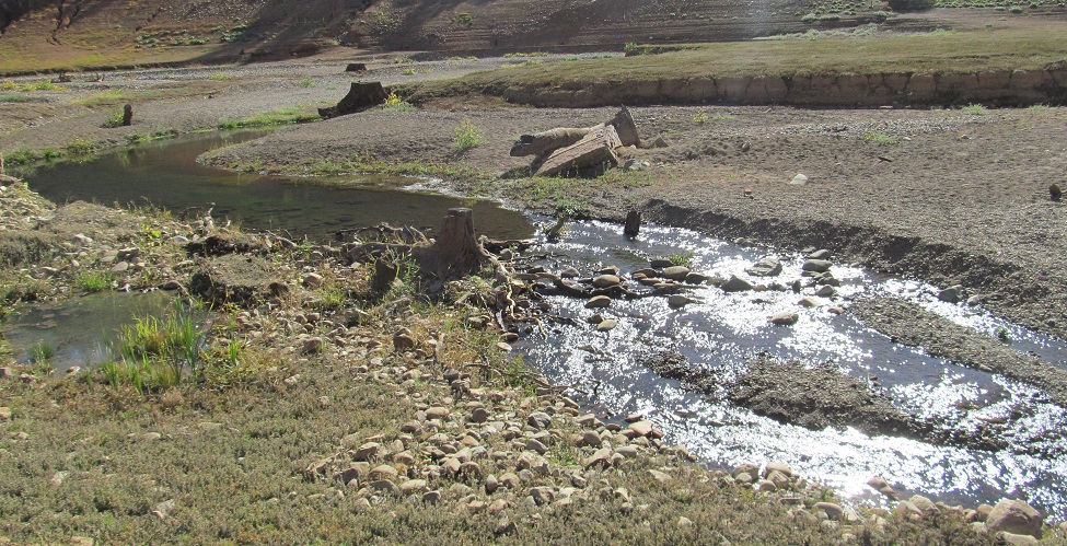
Continuing west, then panning north to east in the last 2 photos. Dog Creek Mountain is in the distance with Sugarloaf to its right.
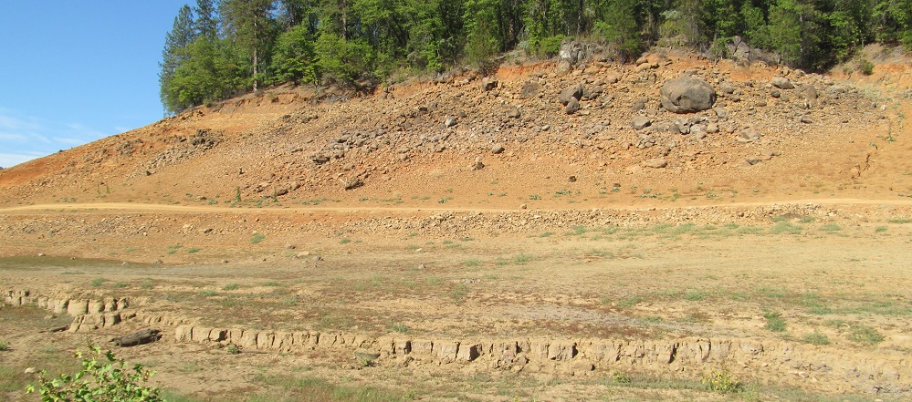
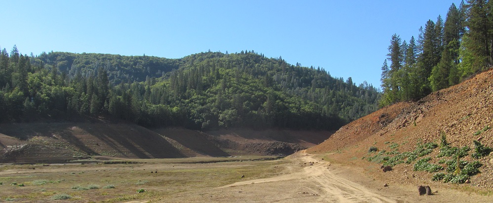
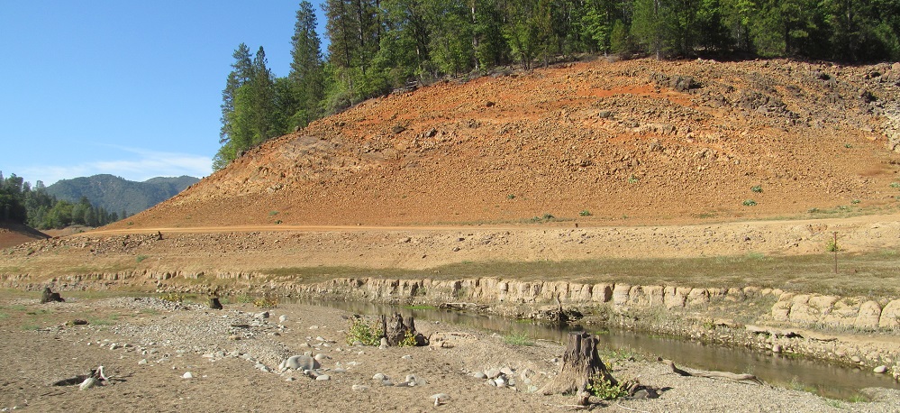
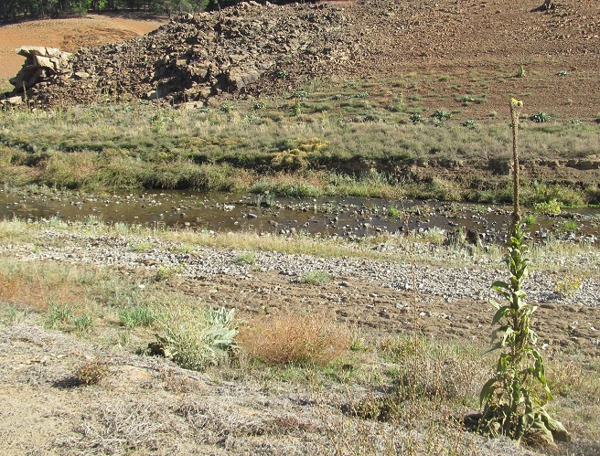
As far west as I made it, then panning back east. It's like this all the way through the rest of the lake.
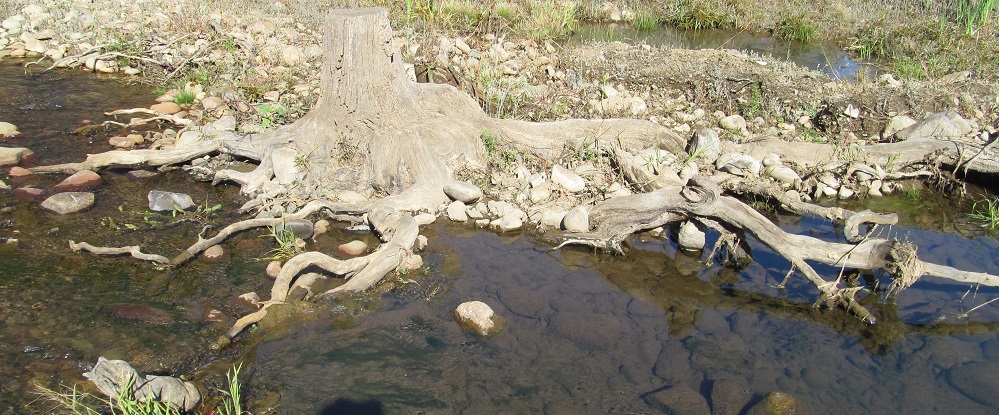
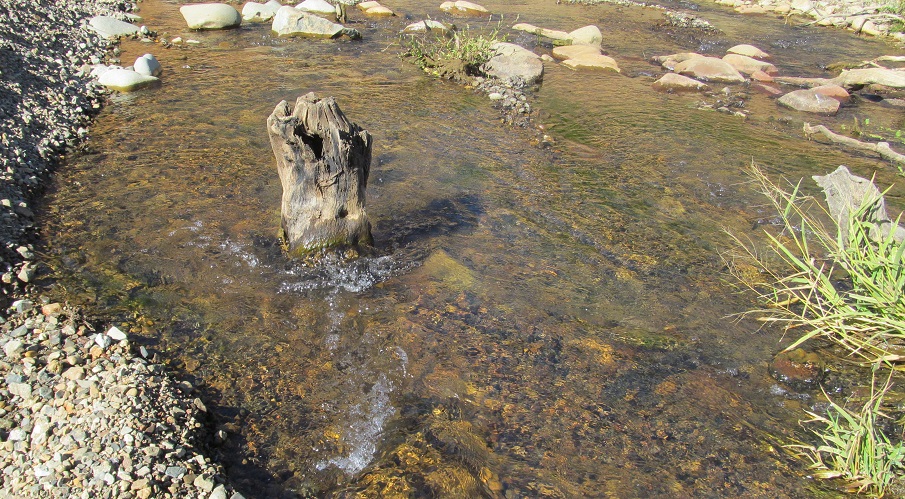
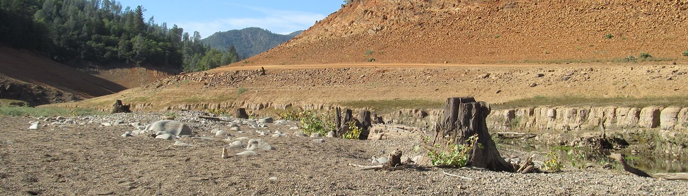
The Trees of Shasta Lake. I imagine that some combination of currents, hungry fish, and hungry lumberjacks resulted in these stumps, since some but not all of them are cut evenly.
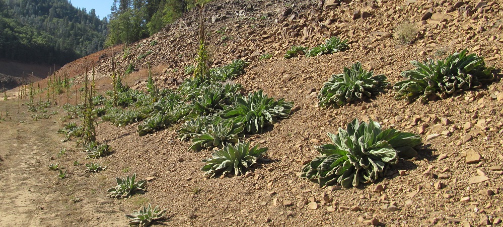
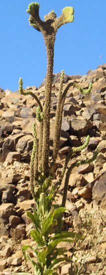
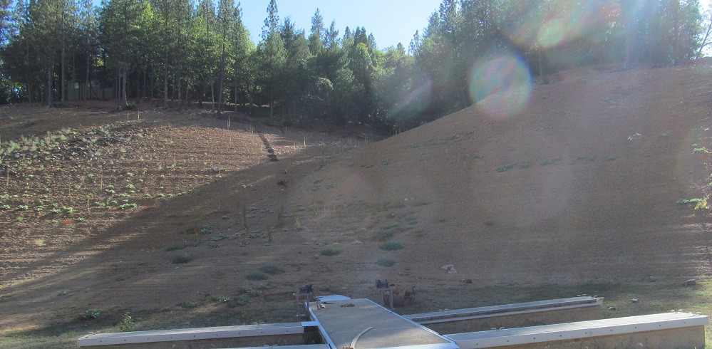
New growth plants start to fill in the bare lakebed. I tried to warn them it wouldn't last.
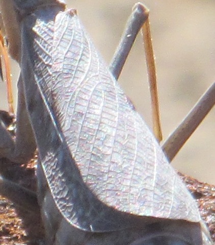
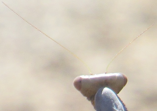
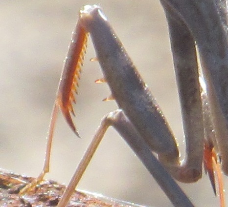
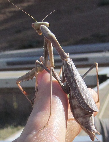
This guy's cool. I'll end with him.
Exit the lakebed
Old US 99 road photos in Shasta Lake
Back to California Non-Roads
Back to Non-Roads main page