British Columbia - Trans-Canada Highway 1 - Hope & W
Trans-Canada Highway 1, Hope and west
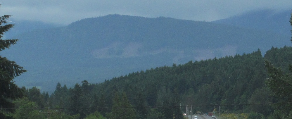
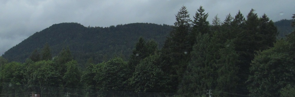
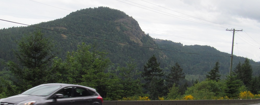
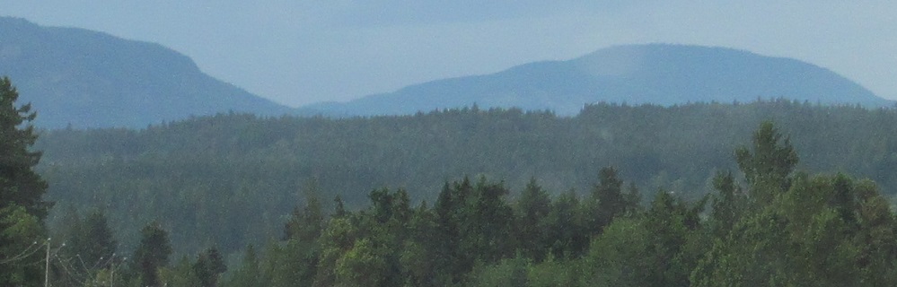
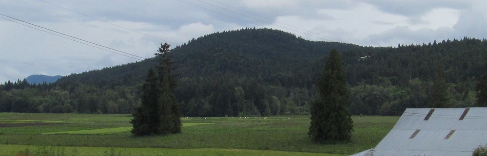
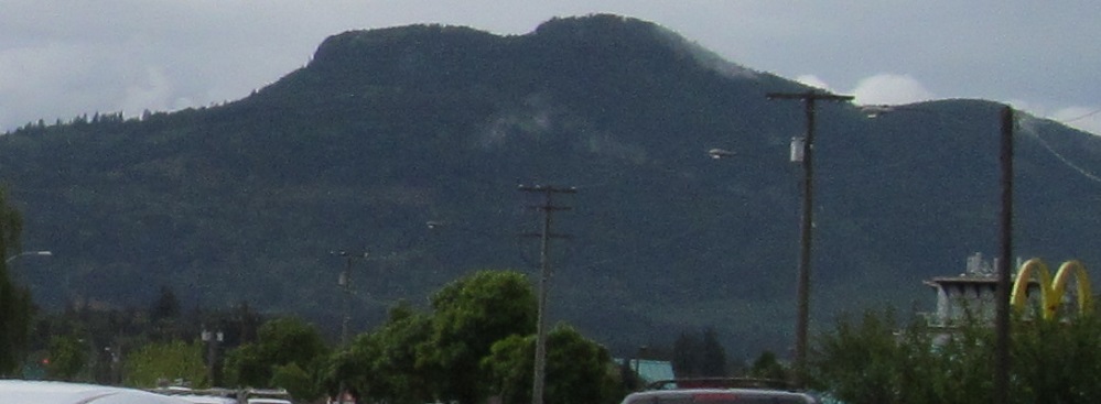
Let's start off heading south out of Nanaimo. These photos focus on Mt. Hayes, starting south of South Wellington down past Nanaimo Airport.
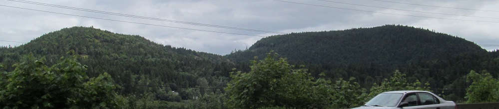
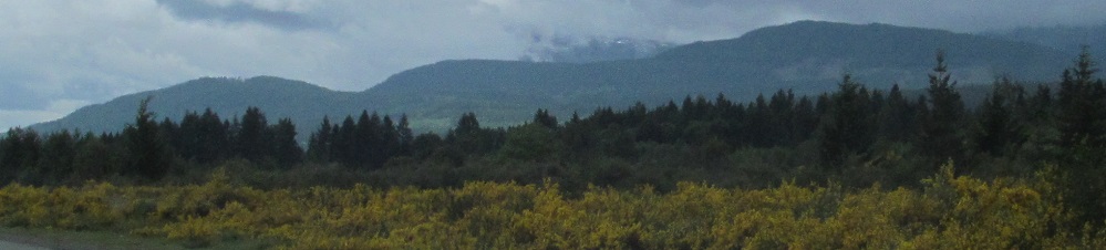
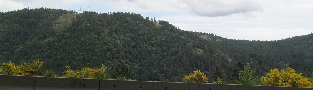
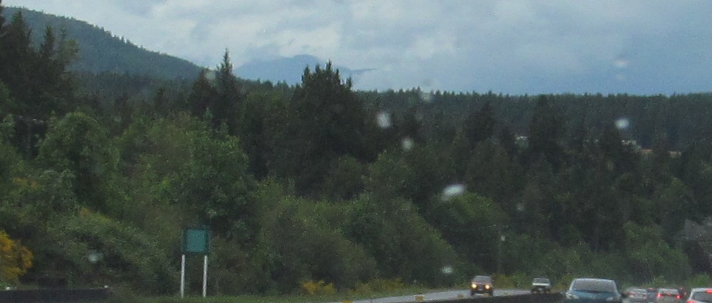
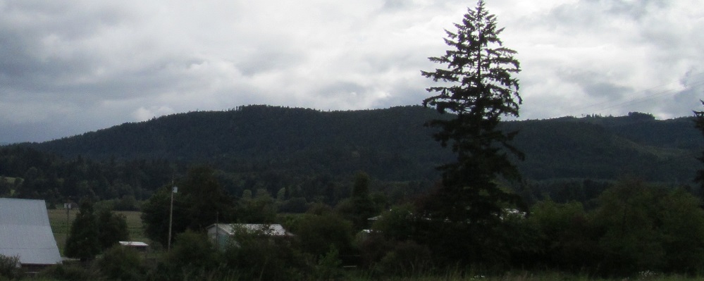
Next we have Big Sicker Mountain and Little Sicker Mountain, seen from Saltair and Westholme respectively. The last photo is just hills to the east.
Panning from south to east in Goldstream Provincial Park. Get it? Panning? Goldstream? It's okay, I didn't mean it.
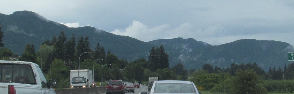
Turned around north (well, sorta west for the moment), leaving Victoria during rush hour.
Approaching Mill Bay.
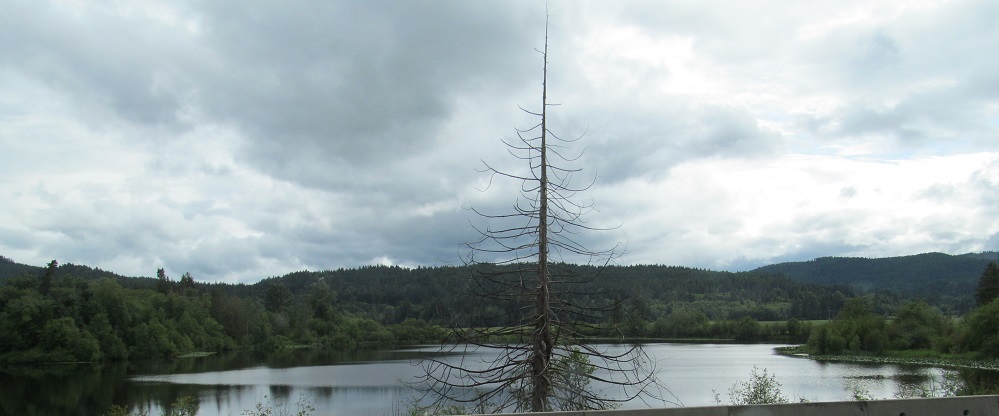
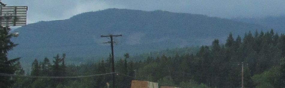
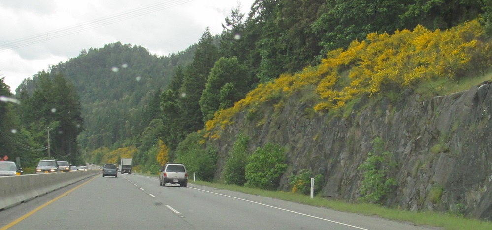
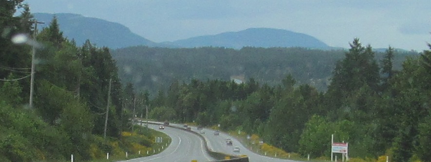
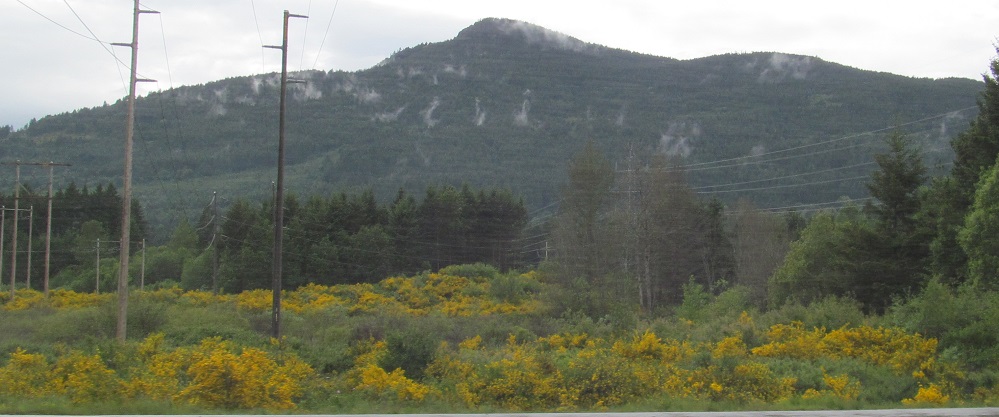
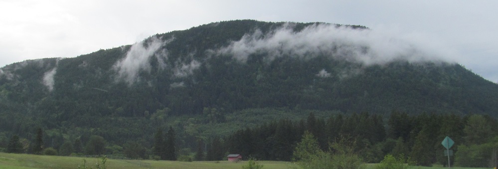
Mt. Prevost looms ahead beyond Duncan, while Dougan Lake provides a respite from all those hills.
Looking west, to the left at Cobble Hill and the right at... some other hill.
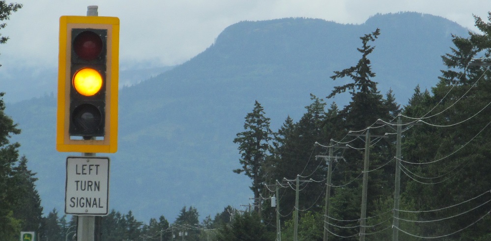
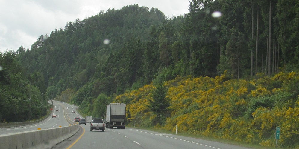
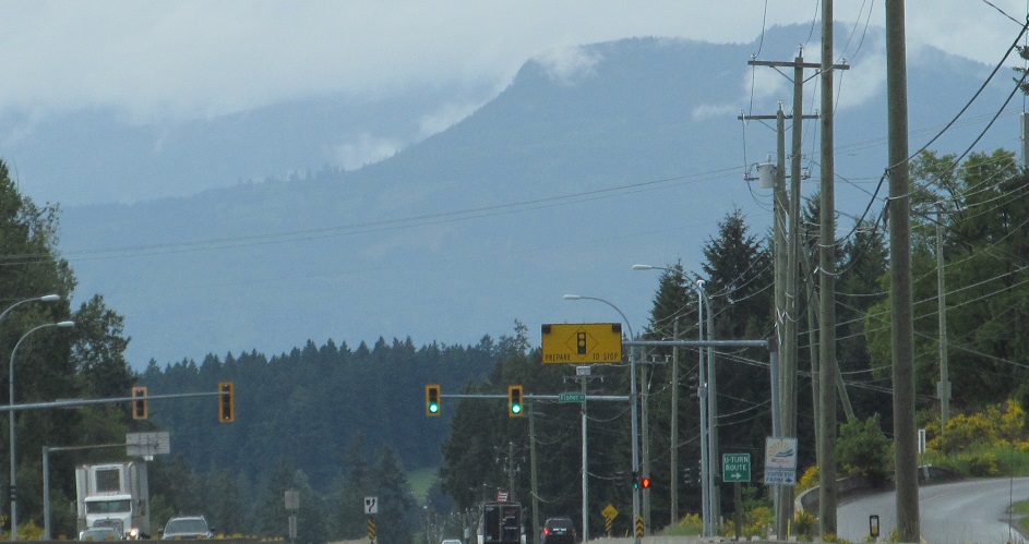
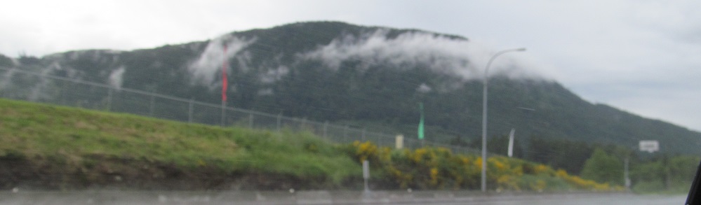
More Mt. Prevost views from the Koksilah Road traffic signal (2) and Duncan (2, up to Holmes Creek).
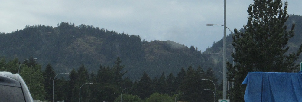
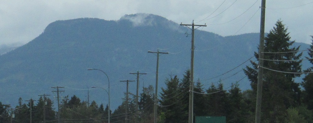
As I pass Mt. Prevost, the next mountain to the north is Little Sicker Mountain once more.
Off of Vancouver Island, into Vancouver City, these photos look north across Vancouver Harbour into North Vancouver District, with Cathedral Mountain straight ahead and Mt. Seymour to the right if you could only see them. The highway is technically heading west here.
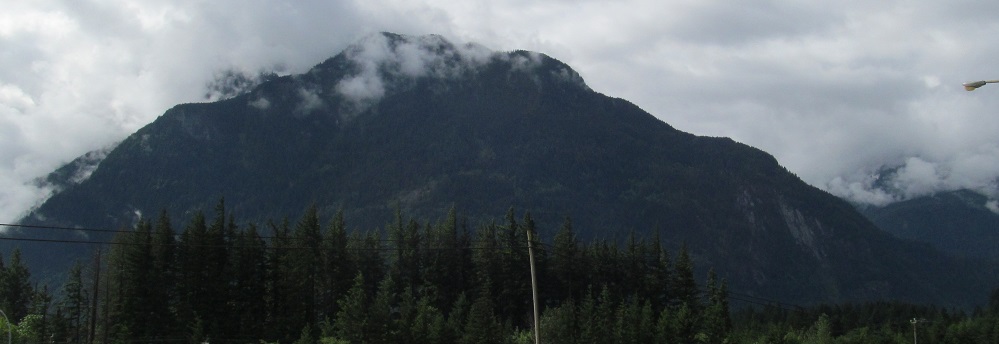
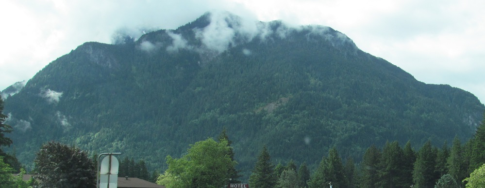
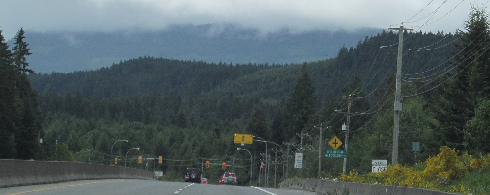
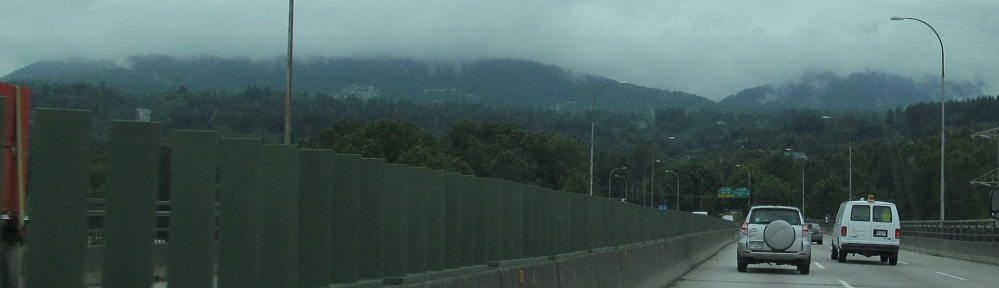
Looking southeast at Hope Mountain from the Highway 7 junction and again in Hope. Again, the highway is heading westbound, but it's been generally southward since Cache Creek.
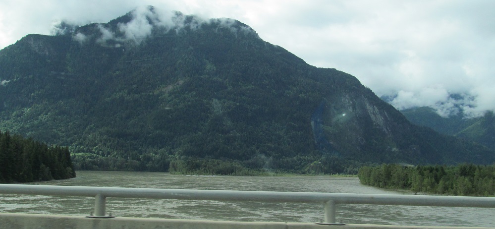
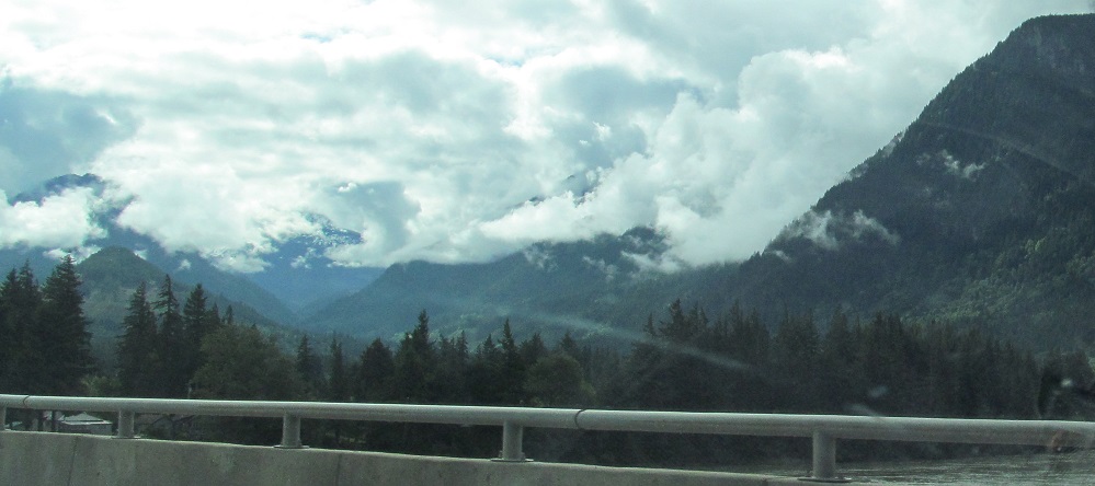
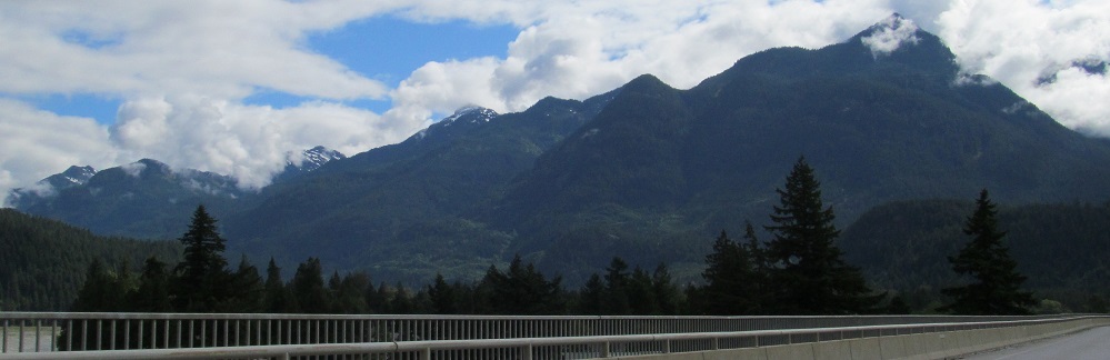
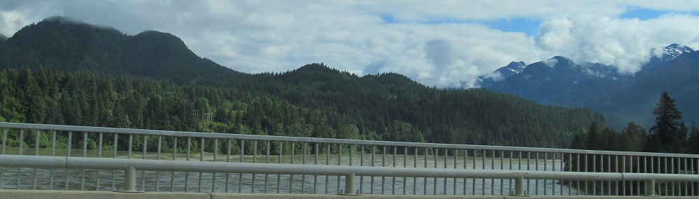
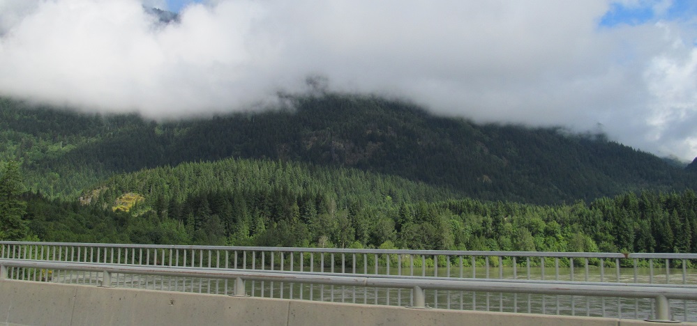
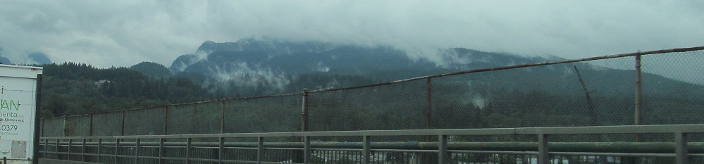
Between the Hope Mountain photos, Highway 1 crosses the Fraser River. The first photo looks south at Hope Mountain (again), then they pan east past the base of Jorgenson Peak, around north to Dog Mountain.
Continue east on Trans-Canada Highway 1
Victoria, with Highway 1 (Douglas Street)
See more of Vancouver Island
Back to Trans-Canada Highway 1 main page
See more of Vancouver
Back to British Columbia Non-Roads
Back to Non-Roads main page