British Columbia - Trans-Canada Highway 1/Highway 97 - Cache Creek-Kamloops
Trans-Canada Highway 1 and Highway 97
Cache Creek to Kamloops
All photos were taken heading west.
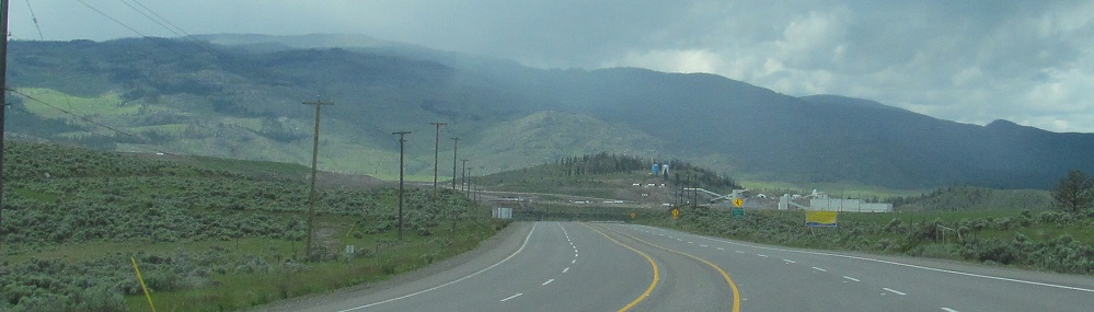
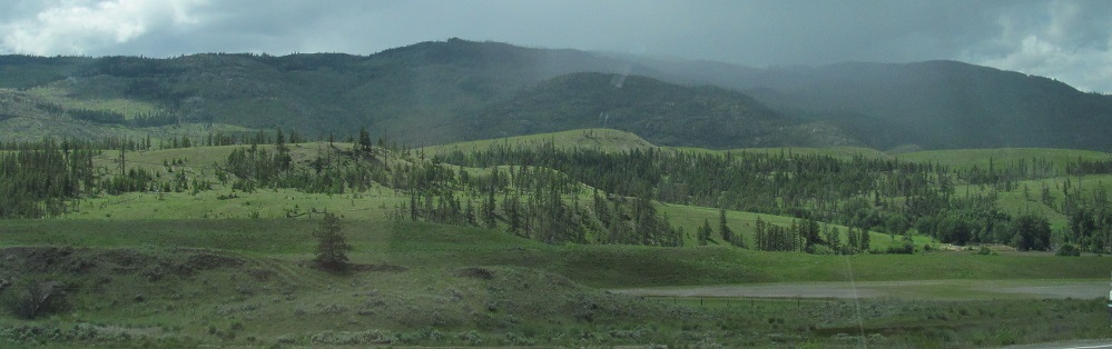
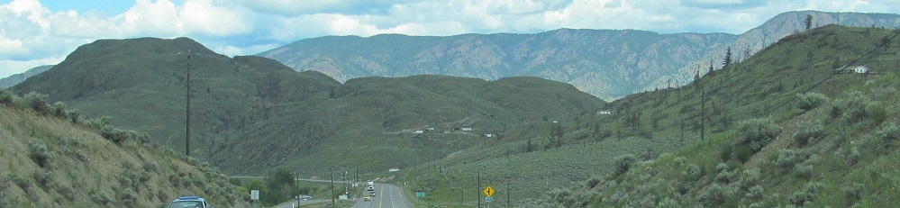
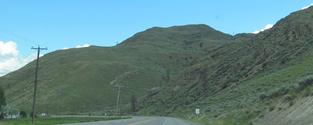
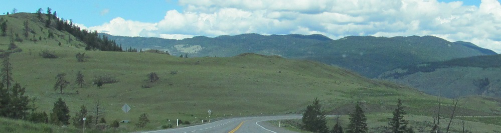
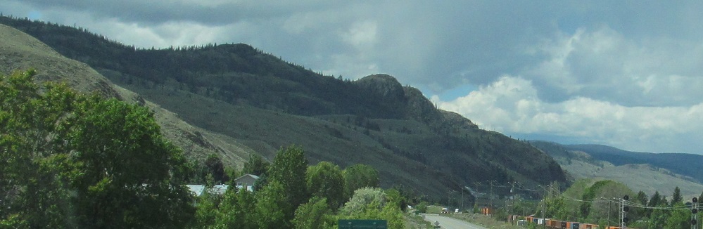
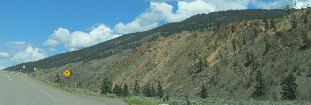
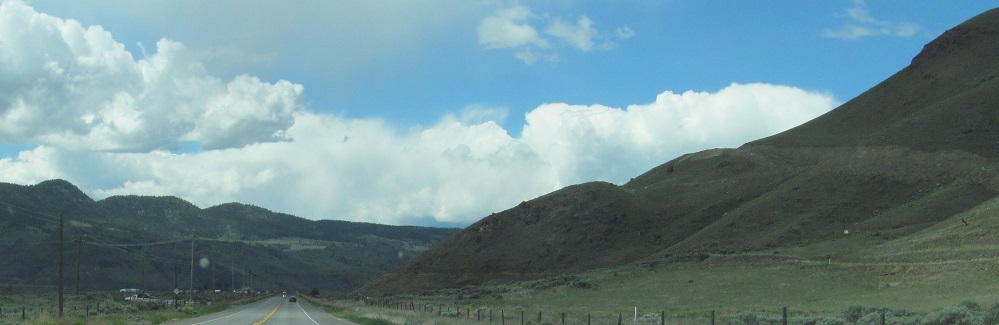
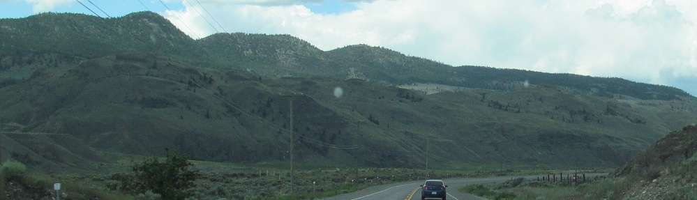
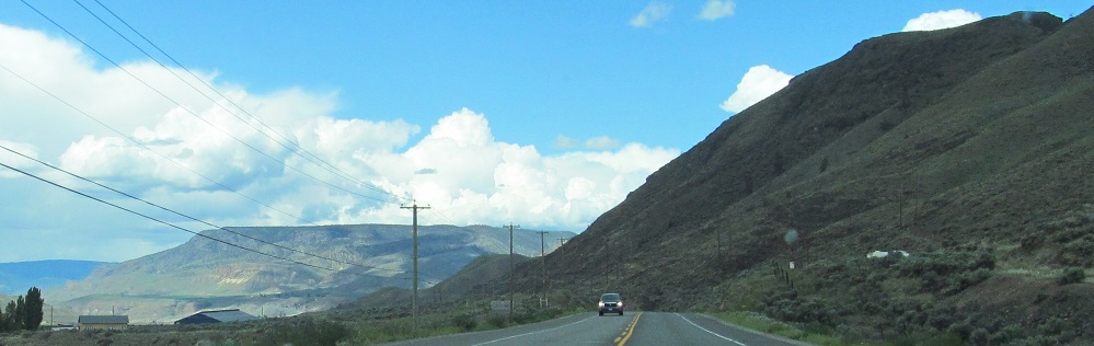
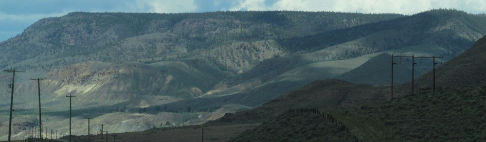
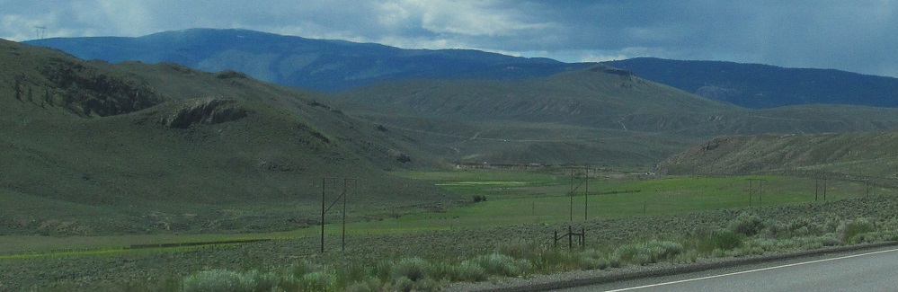
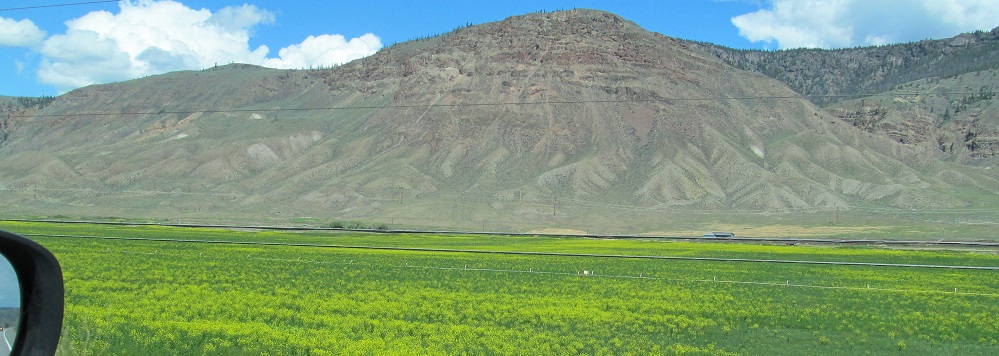
Leaving Highway 5 west of Kamloops, the foothills of Greenstone Mountain are to the south.
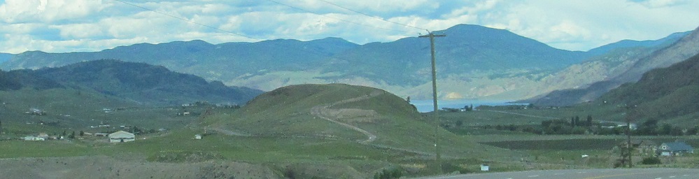
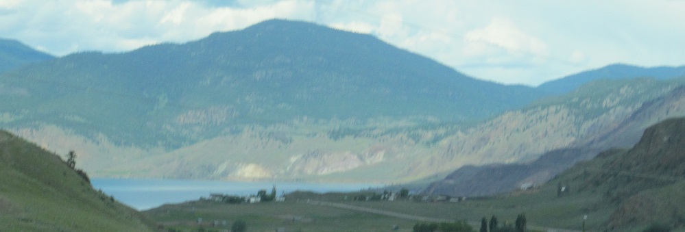
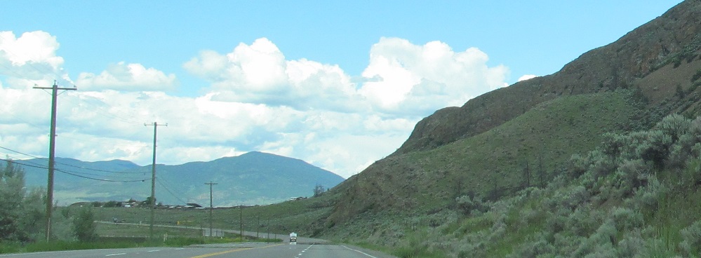
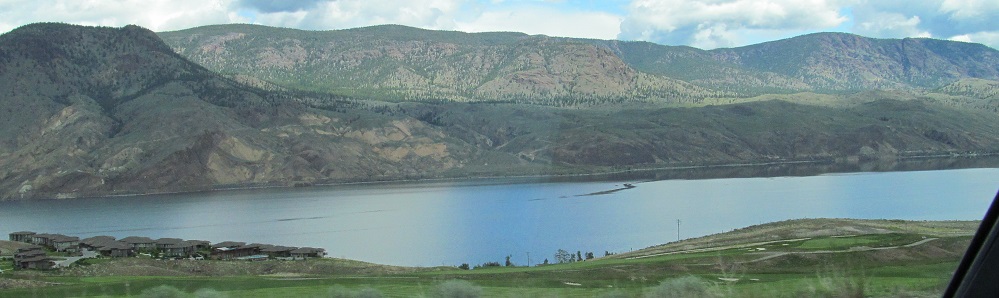
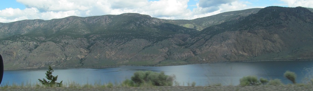
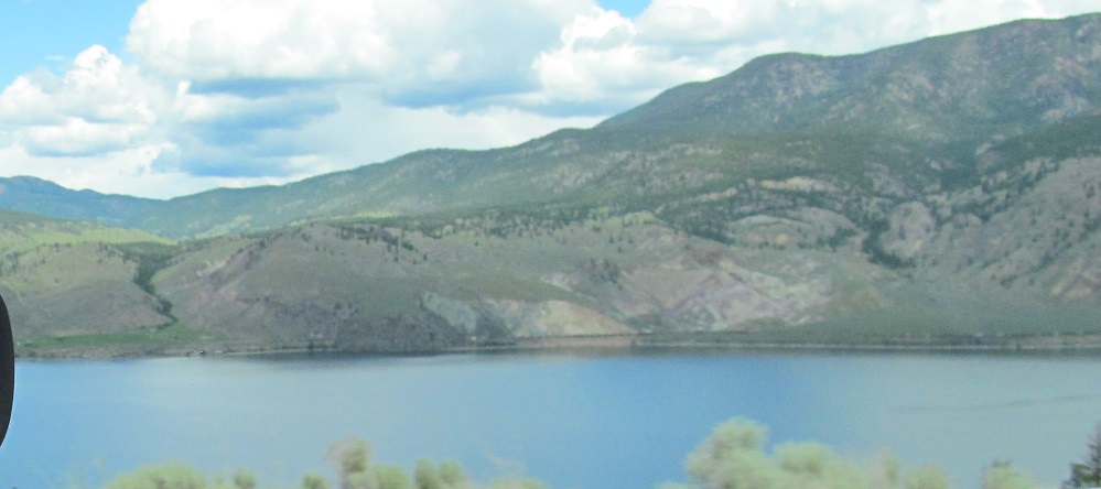
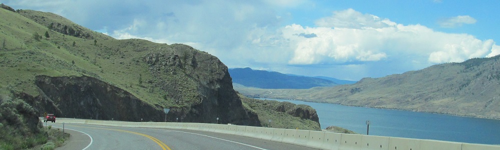
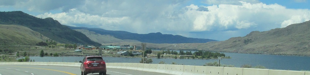
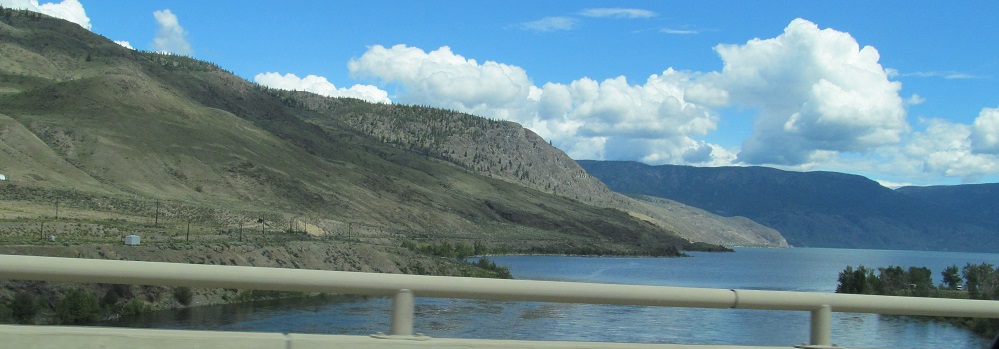
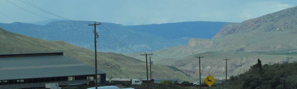
First views of Kamloops Lake and the Dewdrop Range on its north shore.
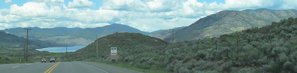
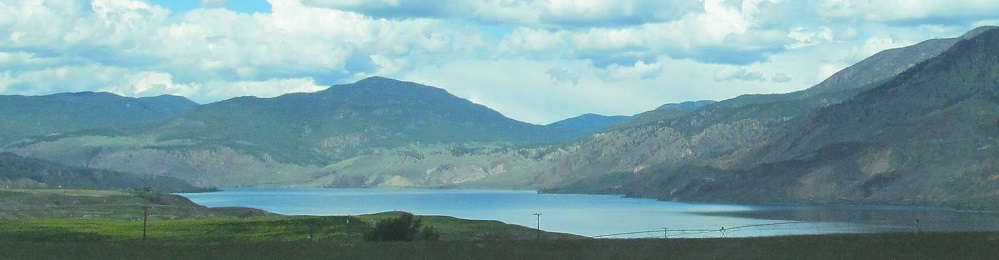
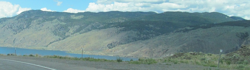
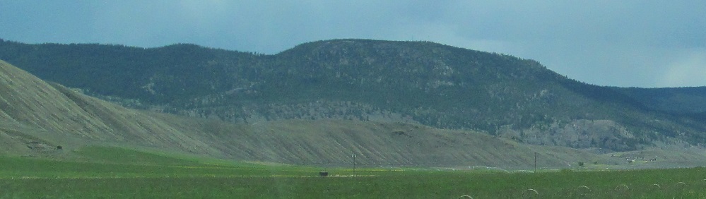
The last 3 photos pan from left to right across the Dewdrop Range at the east end of the lake.
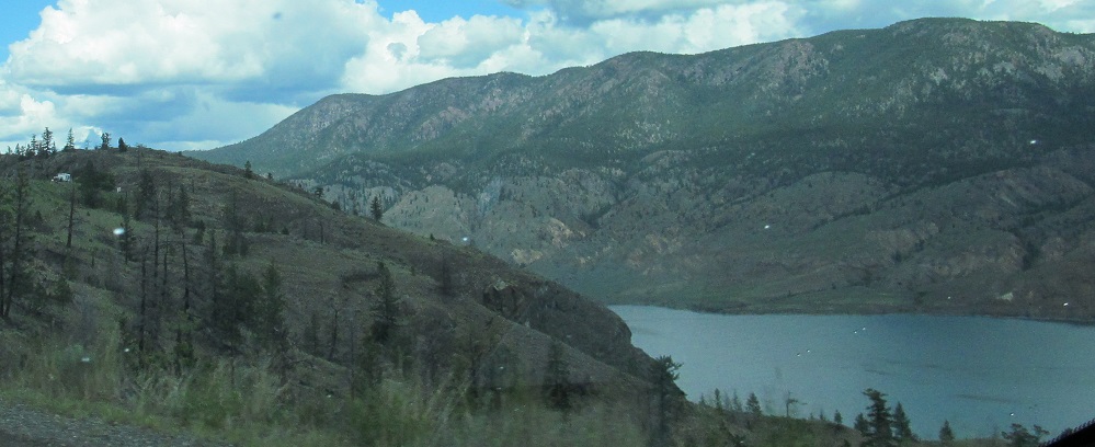
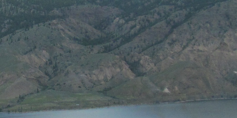
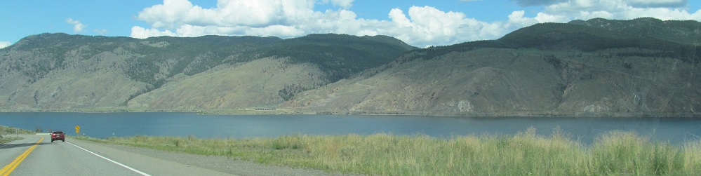
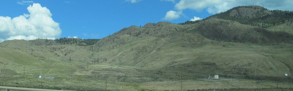
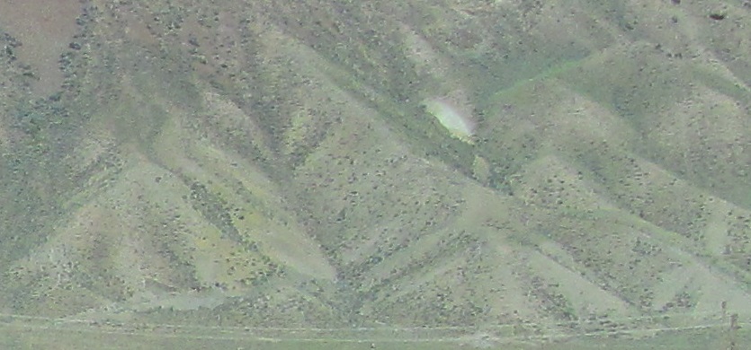
A trio of left-right photo pairs and a closeup to top it off. The 4th photo looks back east near the bend in the lake.
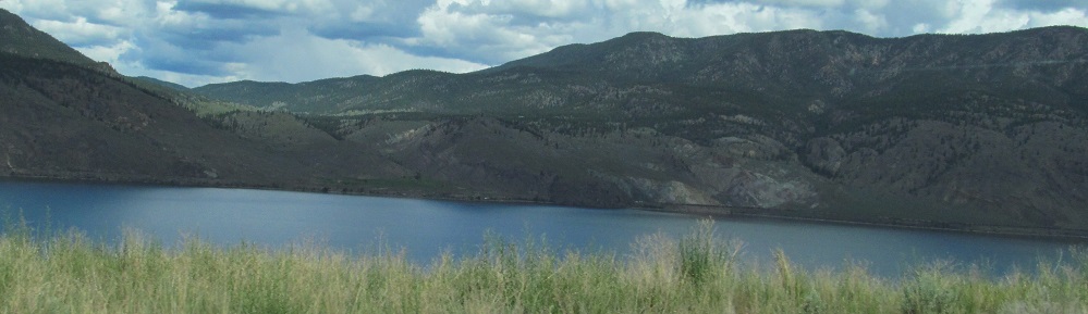
Straight, nothing much. Right, still lake.
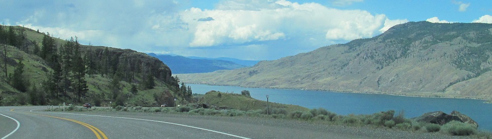
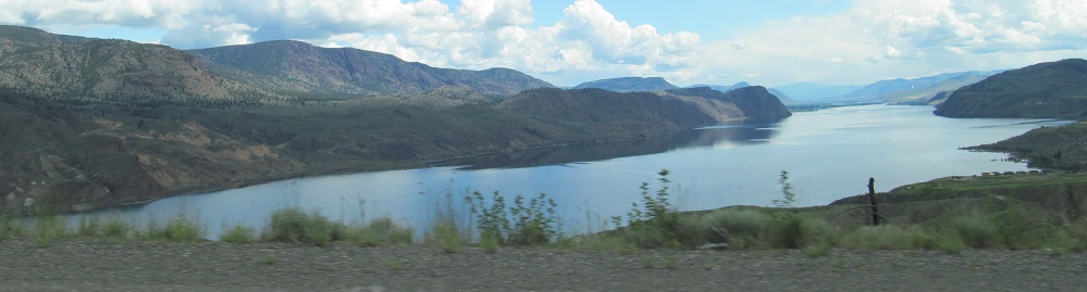
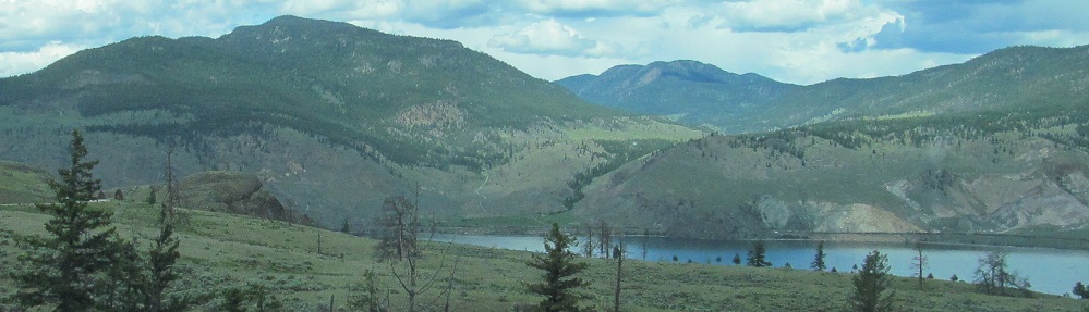
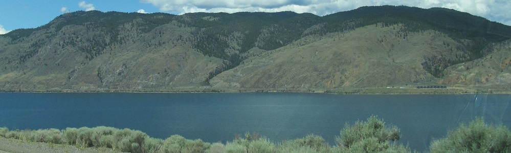
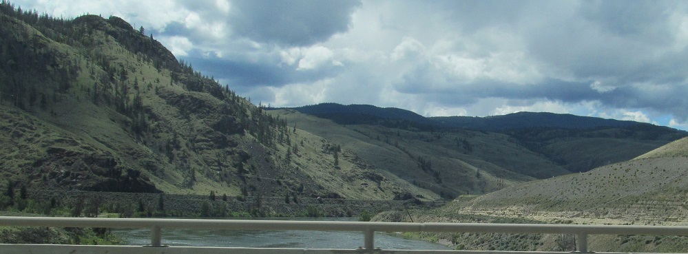
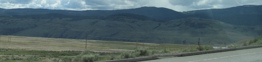
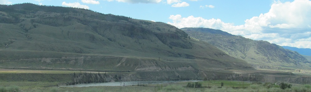
I've reached the lake's "elbow" where the valley changes orientations from SE-NW to SW-NE. Here's the rest of the lake to come.
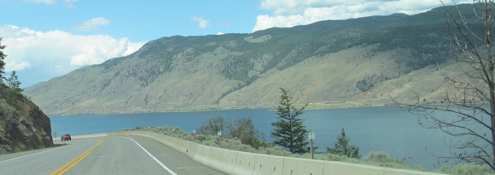
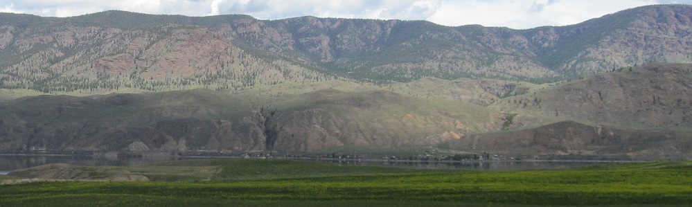
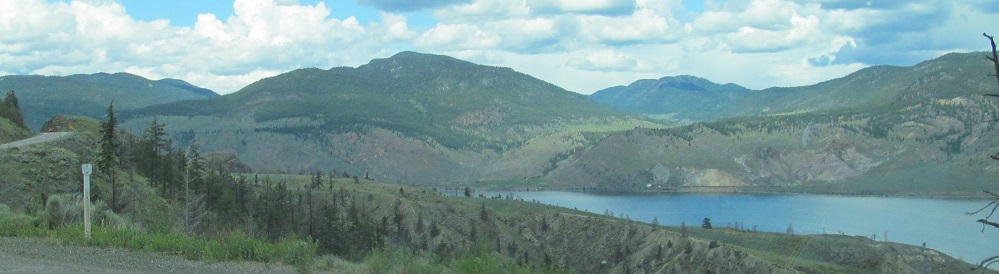
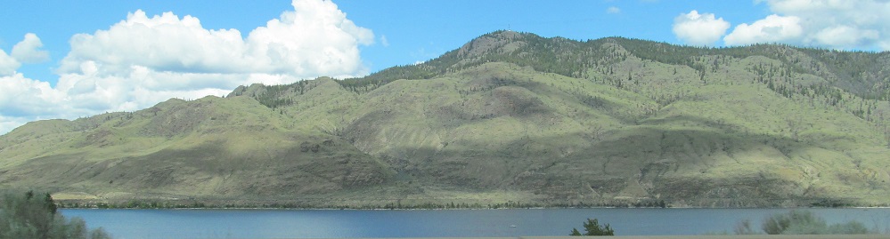
Assorted lake photos, with the last three panning from left to right.
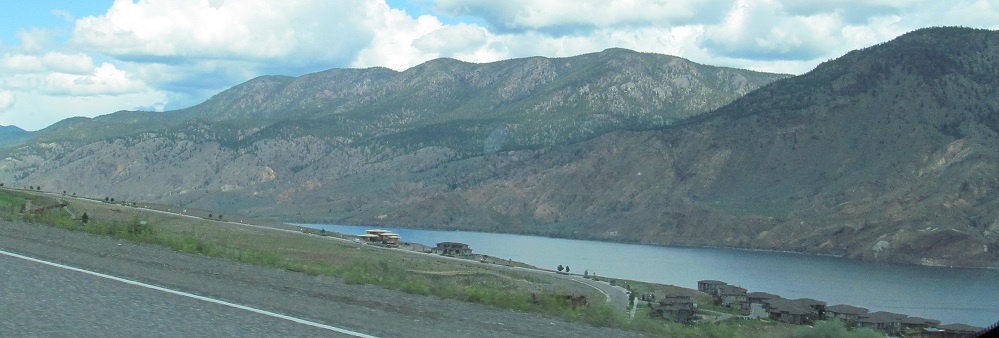
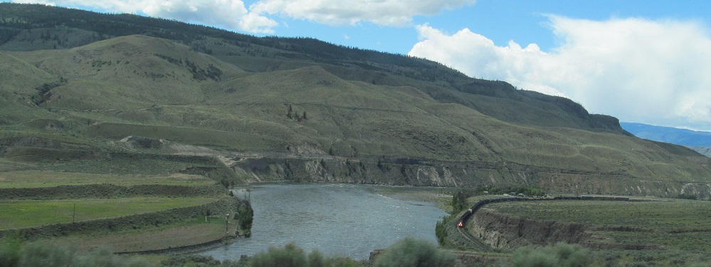
I pass through Savona, and Kamloops Lake comes to an end as I cross the Thompson River on its west side.
Looking northeast (lakeward) and southwest along the Thompson River.
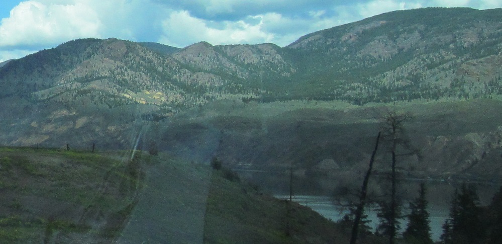
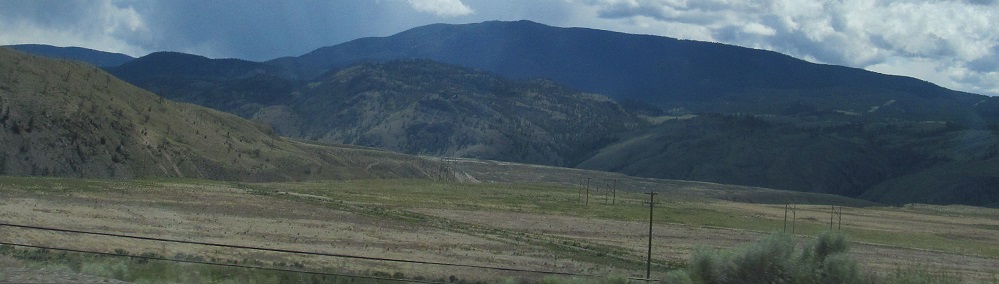
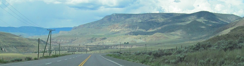
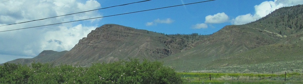
The road rounds a bend and affords a brief look north toward the Deadman River valley. Those hills in the last photo go on for quite awhile beyond what you can see.
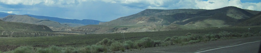
Looking southward to my left as the highway curves around the promontory.
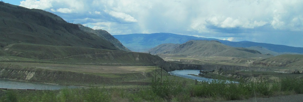
Continuing along the Thompson River valley through Walhachin. The last photo looks north at unnamed bluffs lining the river.
Photos effectively pan from right (north) to left (south). The river sits in a valley within a valley.
Bidding the Thompson River adieu as it leaves to the southwest.
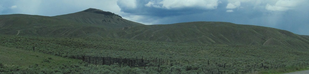
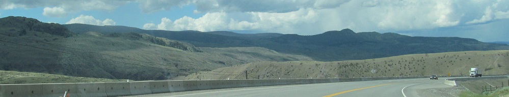
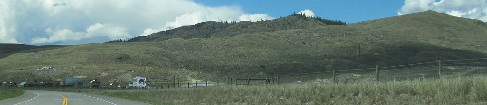
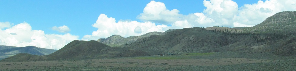
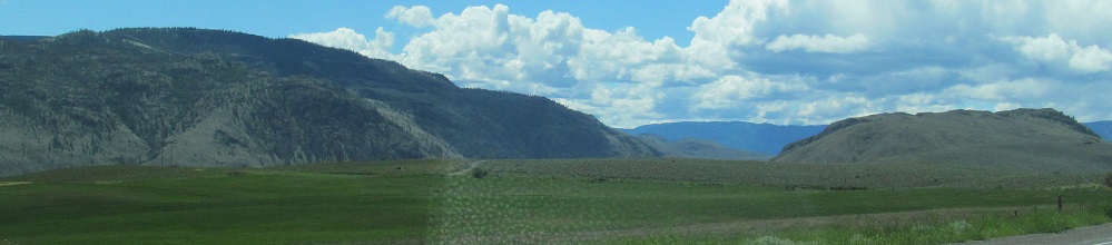
Left, right, left, right as I head through Semlin Valley.
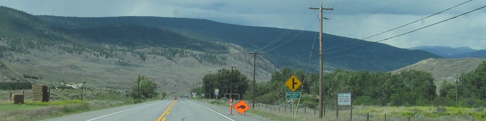
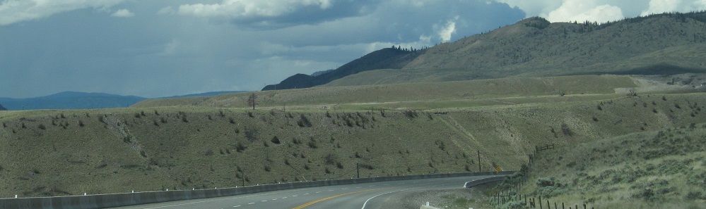
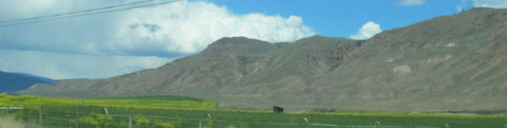
A photo and its closeup to the north, then southwest and west approaching Back Valley Road.
Back west on Trans-Canada Highway 1
Continue north on Highway 97
Back to Trans-Canada Highway 1 main page
Back to Highway 97 main page
Back to British Columbia Non-Roads
Back to Non-Roads main page