British Columbia - W. Van-Nanaimo Ferry - Bowen Island & E
West Vancouver-Nanaimo Ferry
Bowen Island and east
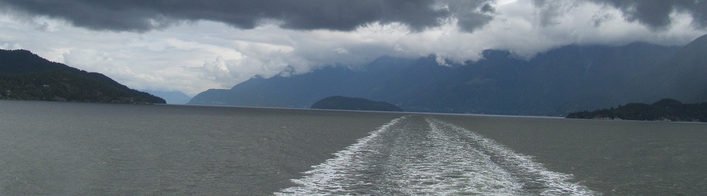
Photos start out heading west from Horseshoe Bay. Stick around to the end though.
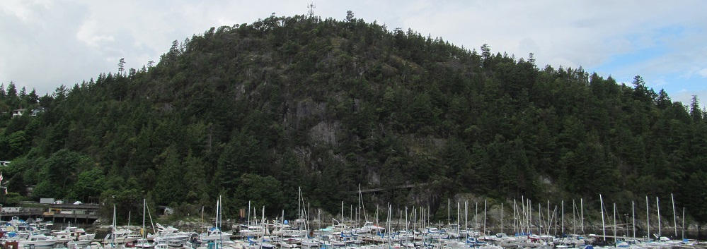
While the ferry sits in Horseshoe Bay in West Vancouver, enjoy this pan from Tyee Point on the west to Black Mountain and Cypress Provincial Park on the east. Northward out of the bay are Gambier, Anvil, and Bowyer Islands, from left to right.
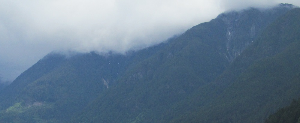
Some more Anvil Island and some more Black Mountain, perhaps including the base of St. Mark's Summit and West Lion behind it.
Leaving Horseshoe Bay, these photos look south at Tyee Point and the Whytecliff neighborhood to its right (west).
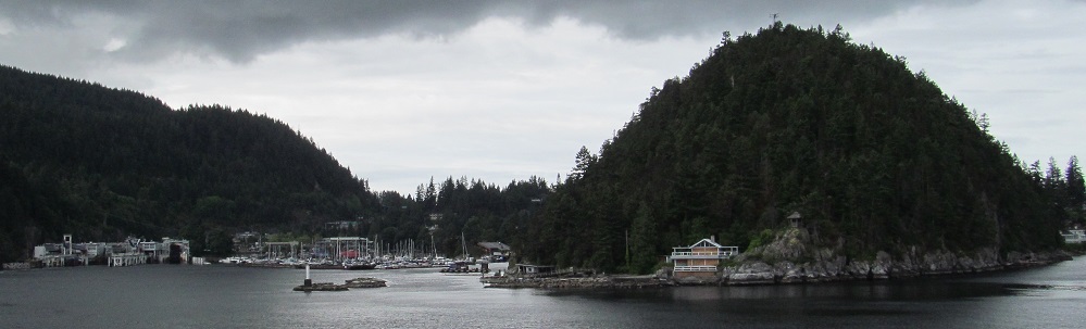
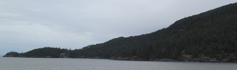
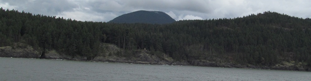
Get ready to get familiar with Bowen Island, which appears in front of Gambier Island and will dominate the rest of this page. The ferry turns away from Anvil Island to follow the east and south sides of Bowen into the Strait of Georgia.
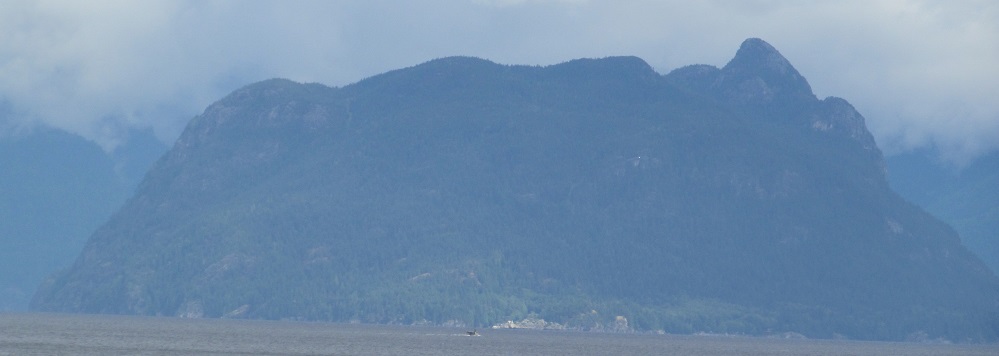
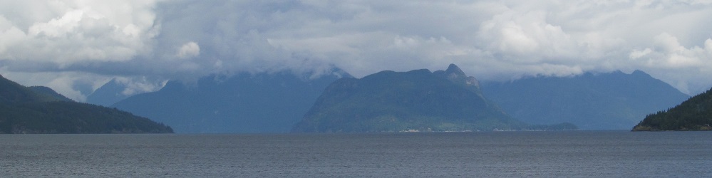
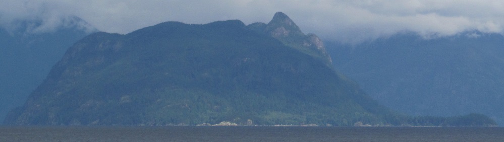
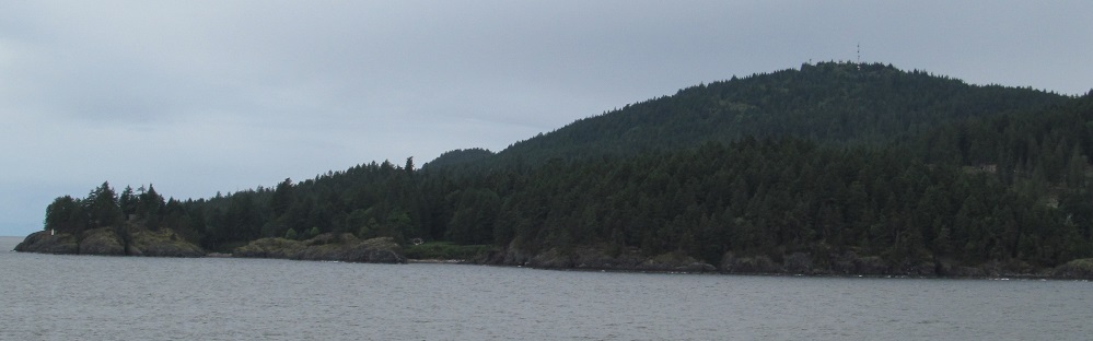
The most prominent feature on Bowen Island is Mt. Gardner, which appears in the centre when looking west. Mt. Collins is the smaller peak to its north.
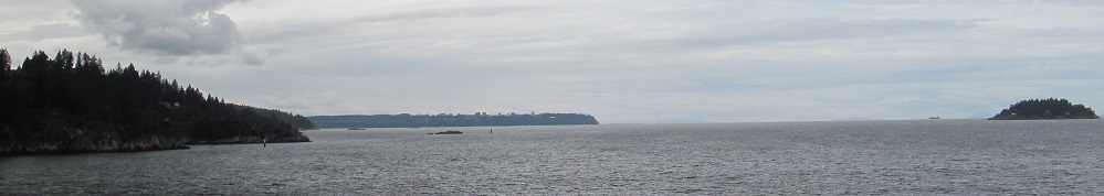
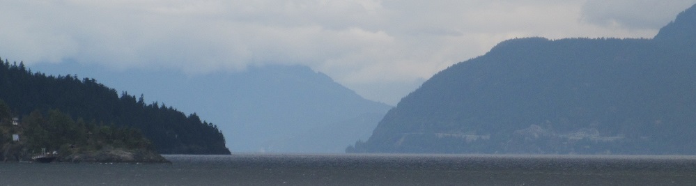
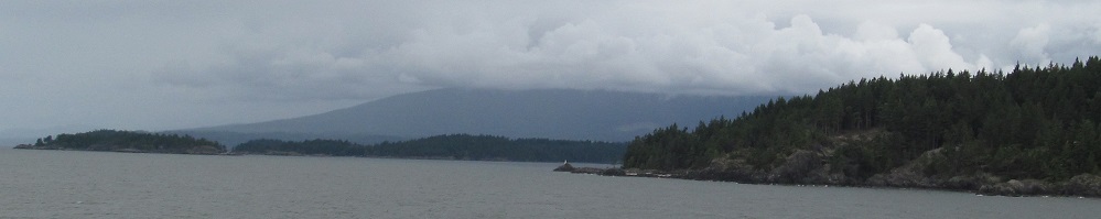
Panning from Black Mountain in the east, featuring a rock cut for Highway 99, past Whytecliff and Passage Island, into Charlotte Channel for our first view of Vancouver Island in the distance. This may actually be Valdes Island in front of it, or a combination of both. Hard to tell at this distance.
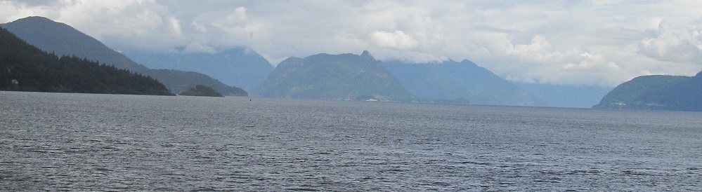
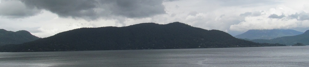
Five different landmasses are visible in the first photo: Bowen, Gambier, Anvil, and Bowyer Islands, along with the mainland. The last photo is another view of Mt. Gardner on Bowen Island.
Panning from Passage Island in the south, past Whytecliff, to Black Mountain. As the ferry heads southwest, Whytecliff can now be seen to include Whyte Islet, which frames Whyte Cove.
The closest view you'll get of Passage Island without boating there.
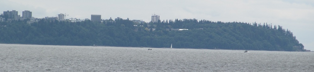
The two sides of Burrard Inlet: Point Atkinson on the north, University Hill on the south (just west of Vancouver proper).
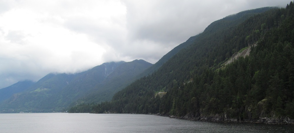
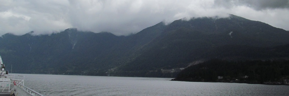
Looking back north at Bowyer Island and, to its left, Squamish Harbour, with the mainland behind it.
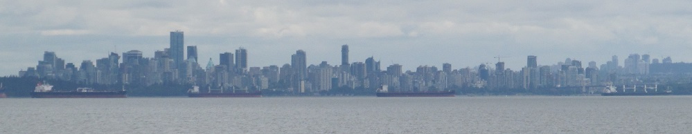
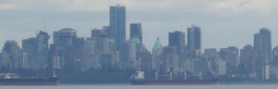
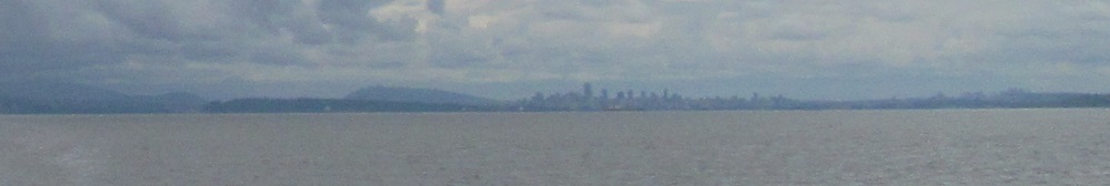
The ferry continues south past Whytecliff and affords a view of downtown Vancouver.
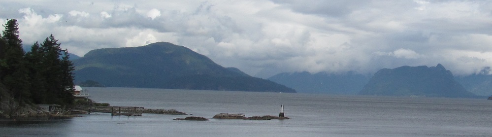
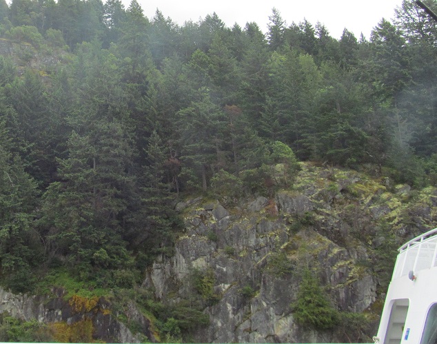
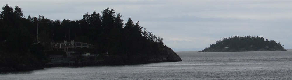
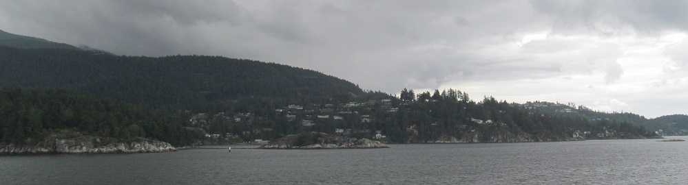
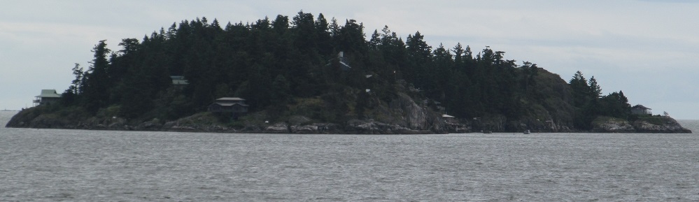
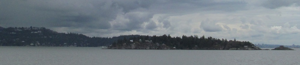
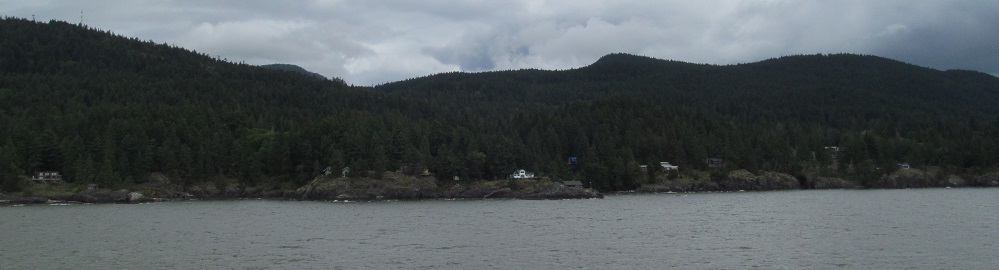
Rounding the southeastern corner of Bowen Island, Point Cowan.
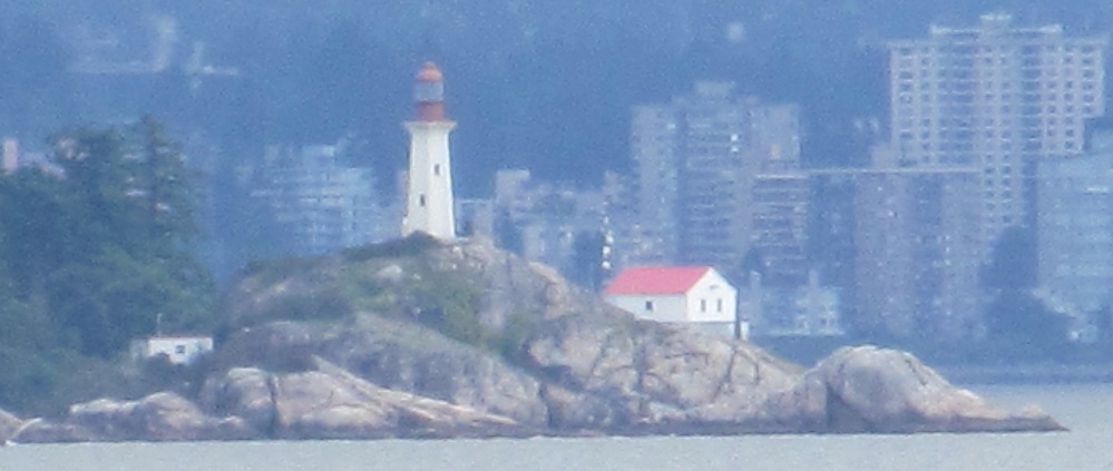
Bear with me on this one. I start panning from the west, across Bowen Island to the east, and after I pass Whytecliff and Black Mountain, I zoom way in on the Point Atkinson Lighthouse.
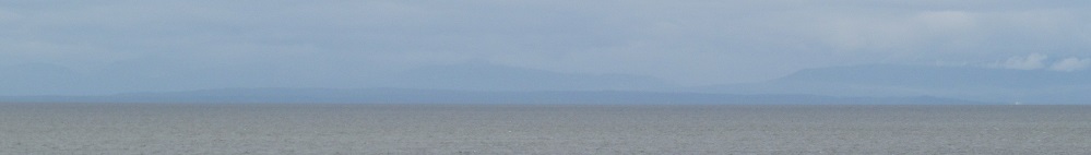
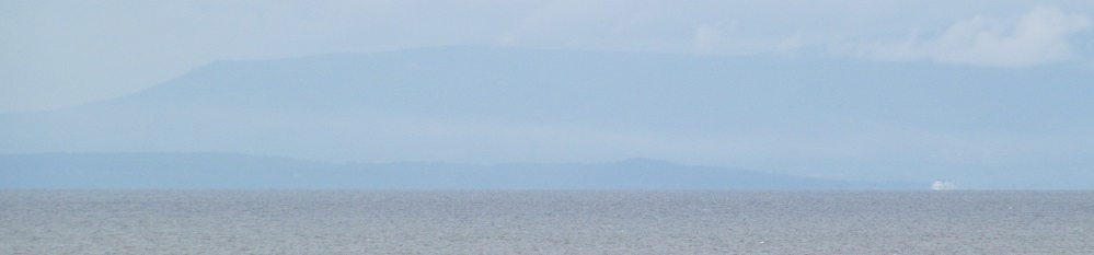
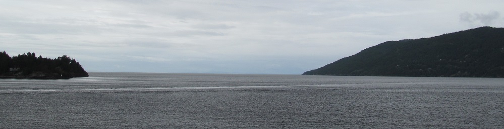
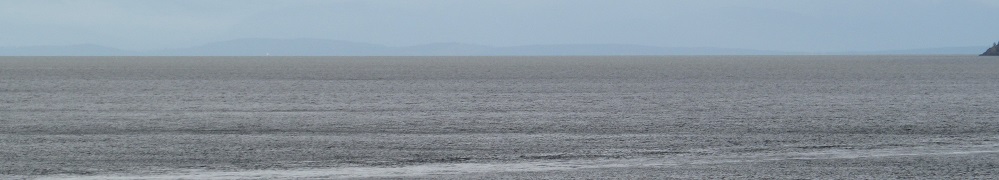
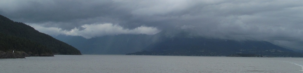
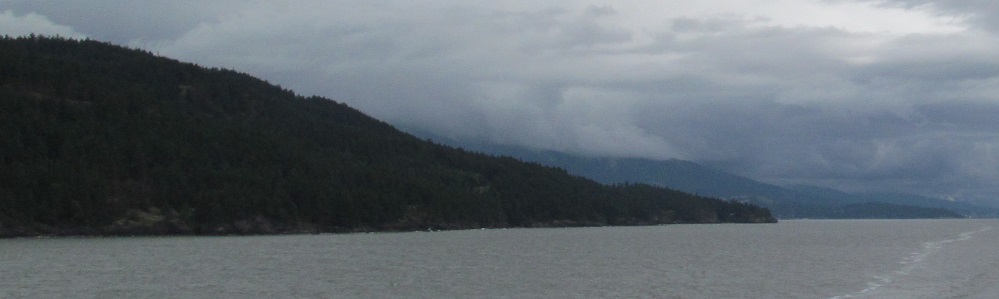
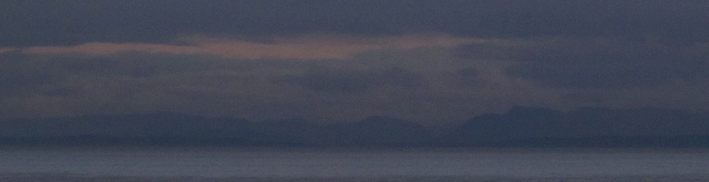
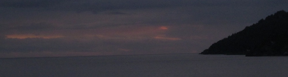
More shadowy views of Vancouver Island to the southeast.
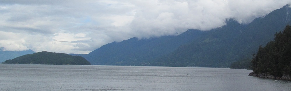
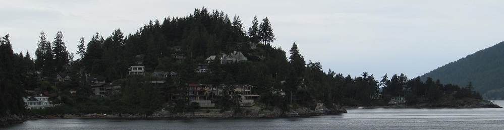
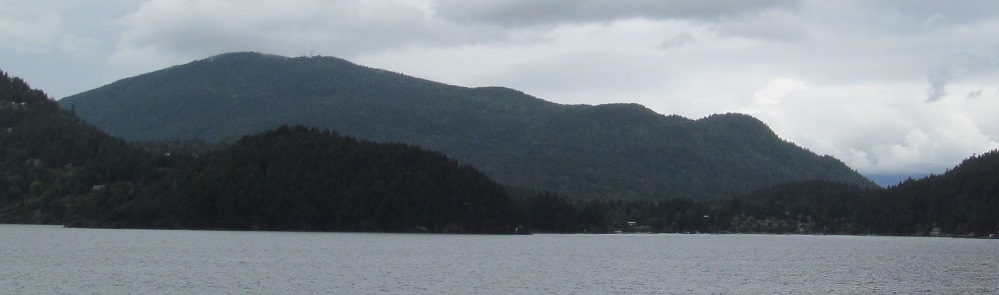
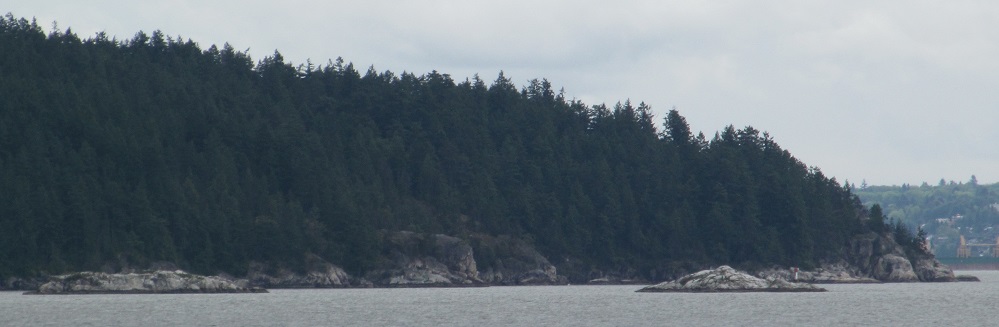
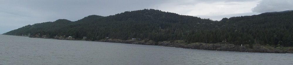
Panning across the south side of Bowen Island from left to right. Mt. Gardner is more prominent from this angle, and Mt. Collins is invisible, but somehow Vancouver is still visible to the east.
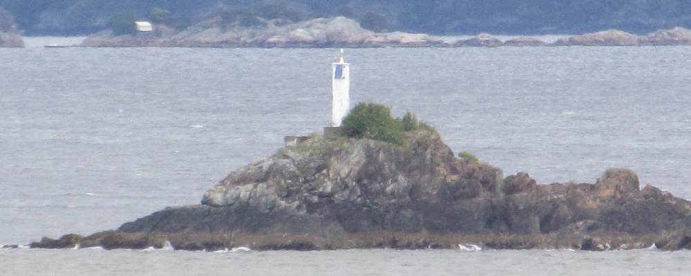
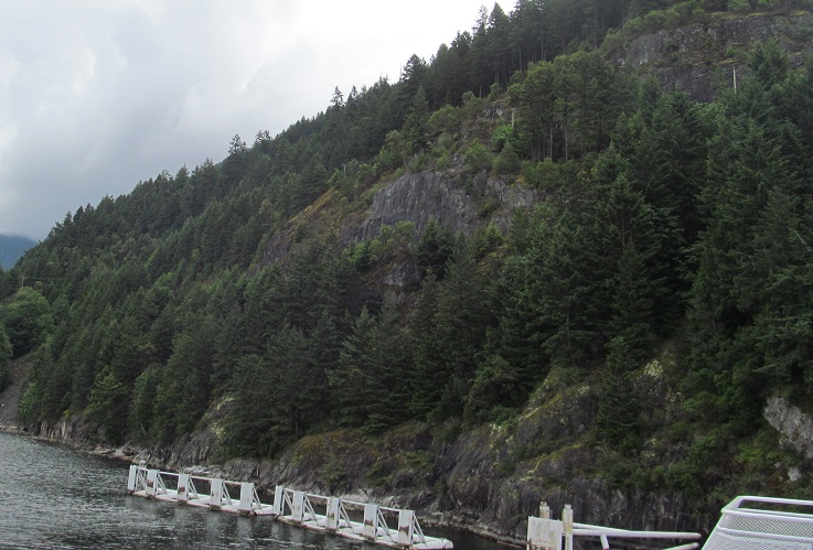
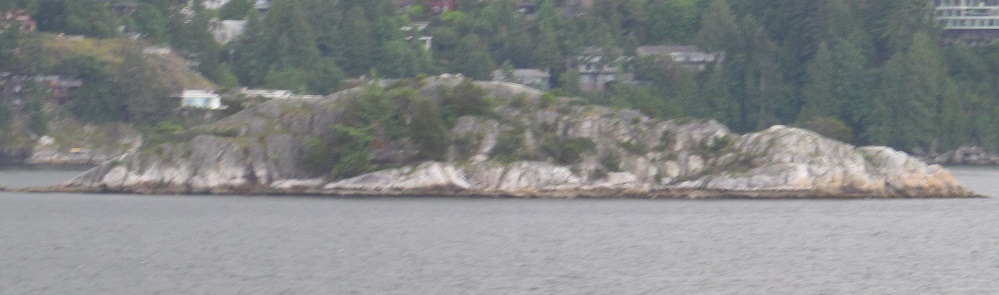
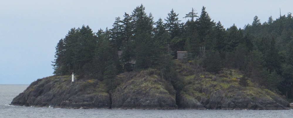
There are a few of these generic light stanchions (can't really call them "houses") along Bowen Island to keep the ferry and other boat traffic far enough from the rocky shore.
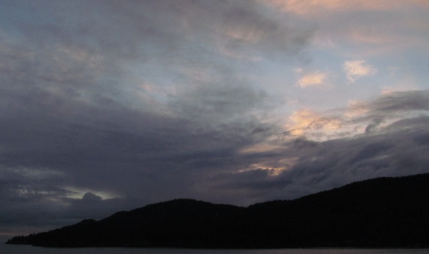
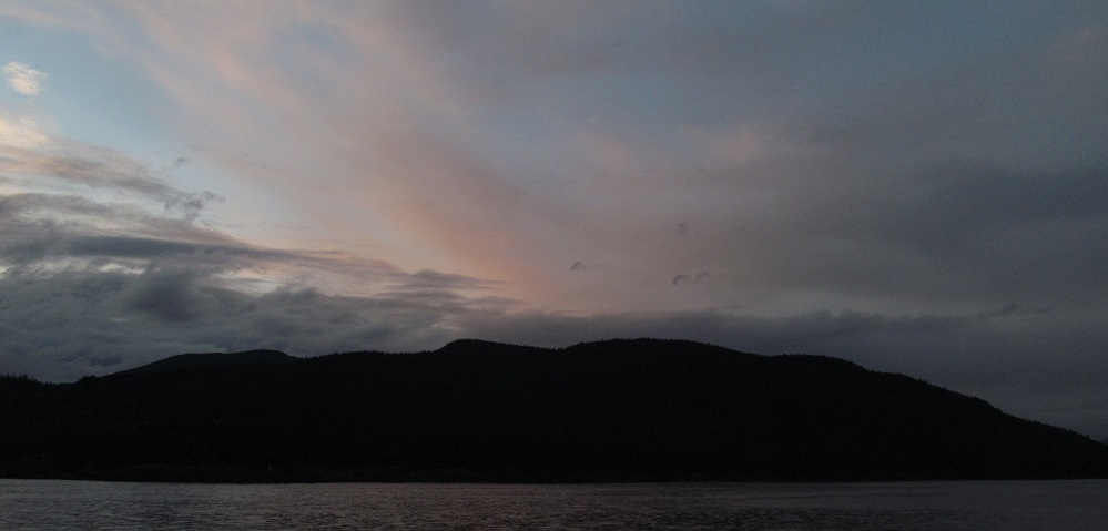
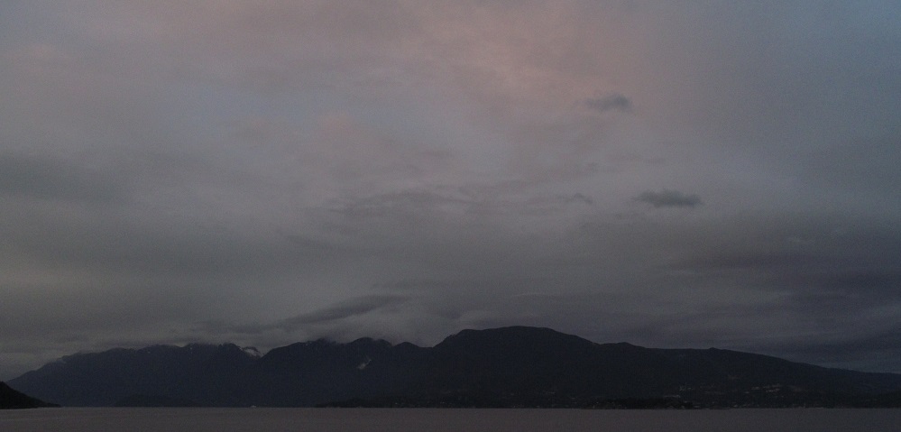
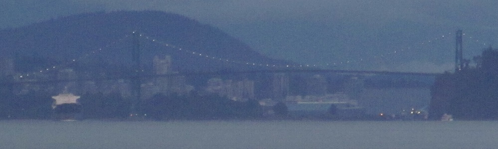
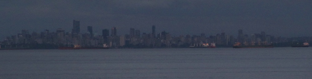
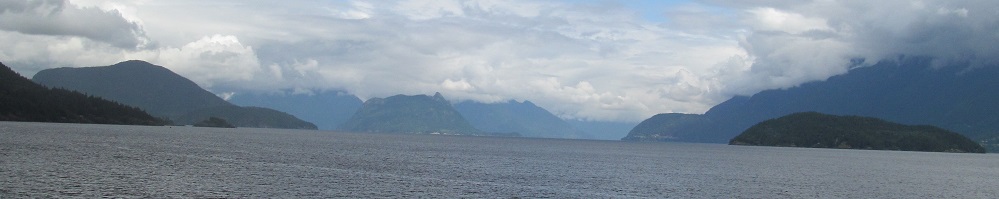
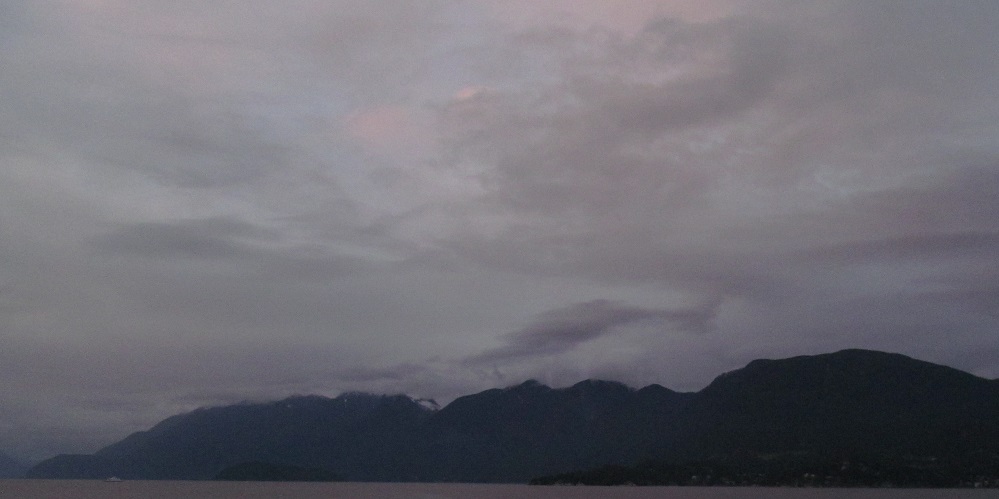
Special bonus content: returning from Vancouver Island by twilight. The first photo looks south at Vancouver Island, and then the view pans around Bowen Island (west) to the mainland mountains of Cypress Provincial Park (northeast, 5th photo) to Vancouver (southeast). That's Lions Gate Bridge lit up for the night.
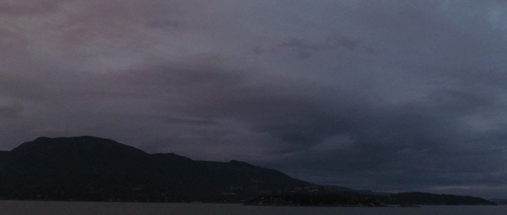
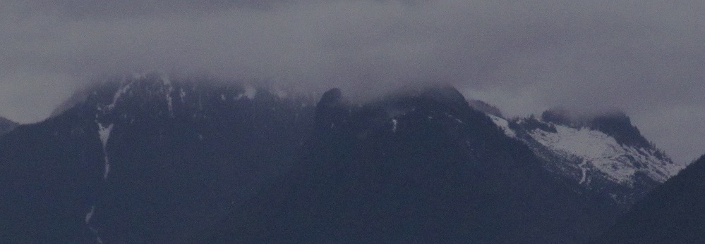
As we enter Horseshoe Bay (1st photo), I look left toward Black Mountain, St. Mark's Summit, and West Lion (the northernmost peak, also in the 3rd photo).
Continue west on the ferry
Back to West Vancouver-Nanaimo Ferry main page
Into Vancouver (and West Vancouver)
Back to British Columbia Non-Roads
Back to Non-Roads main page