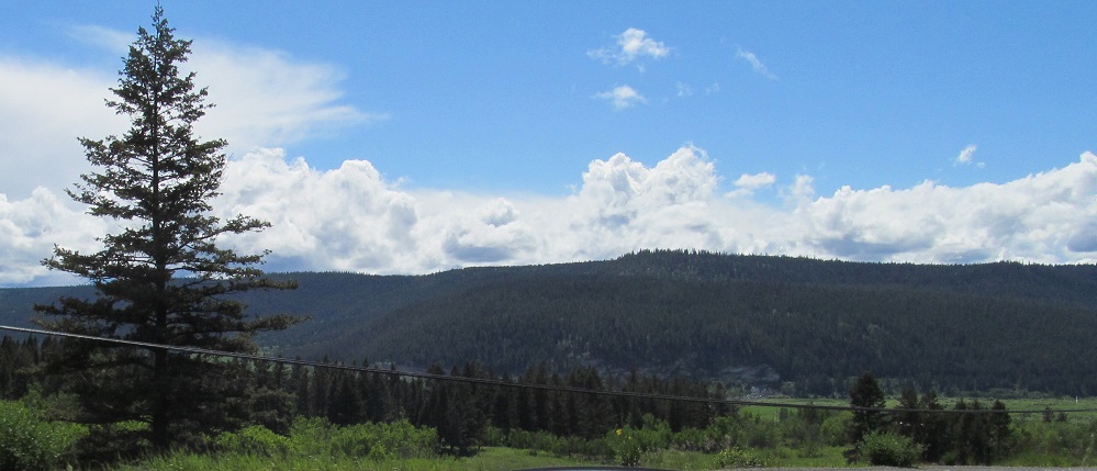
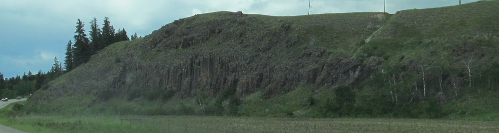
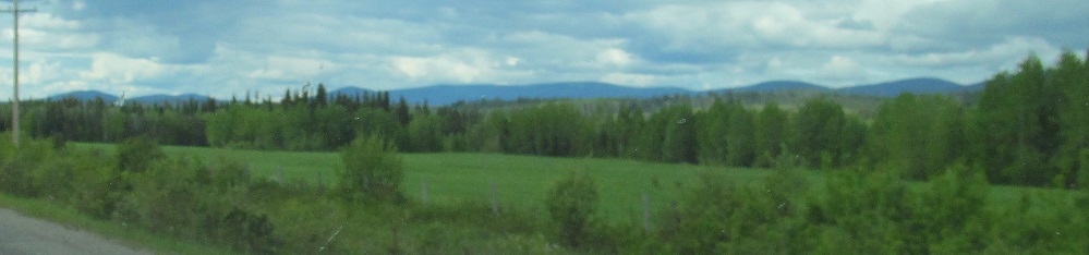
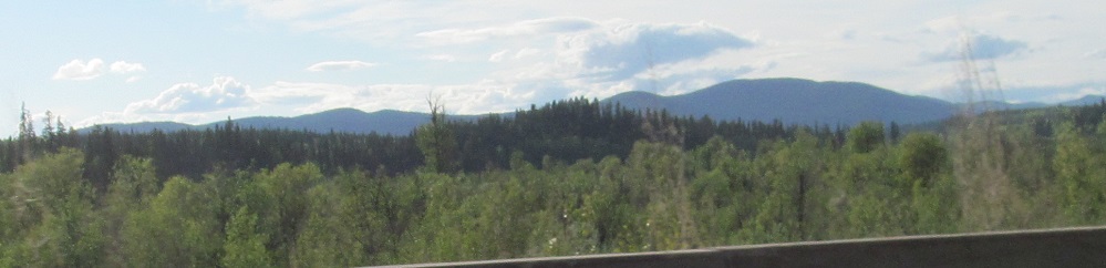
British Columbia - Highway 97 - S of Kerry Lk.
Highway 97 south of Kerry Lake
All photos were taken heading north, and generally face either north or west.
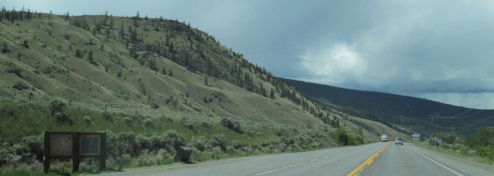
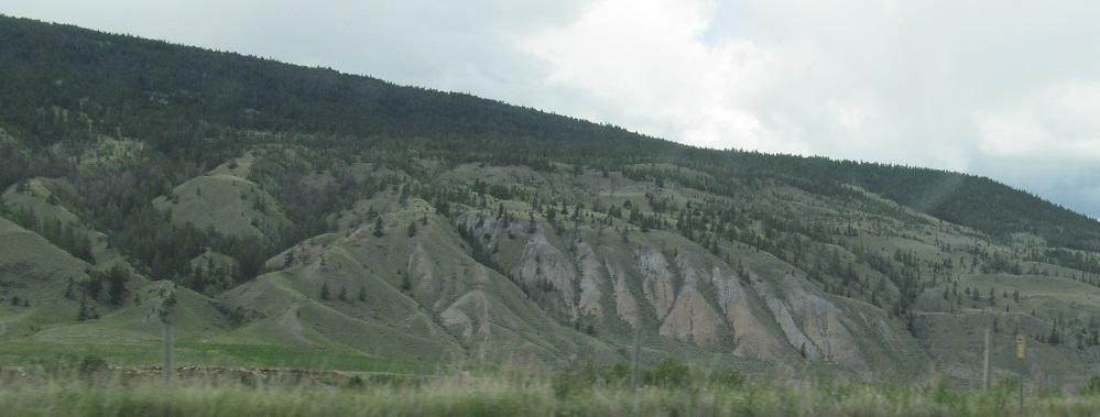
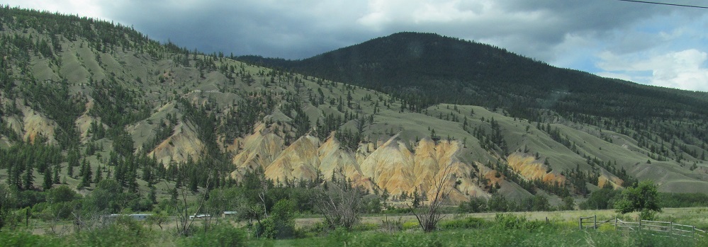
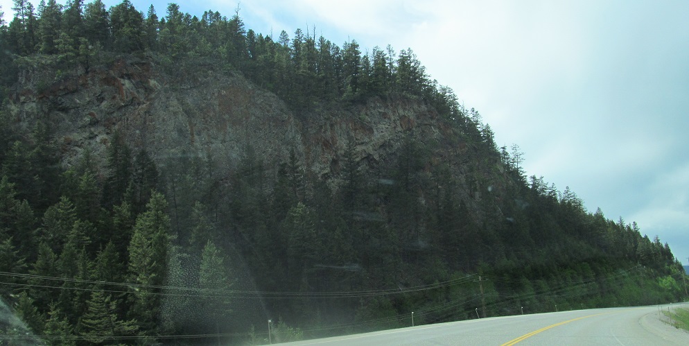
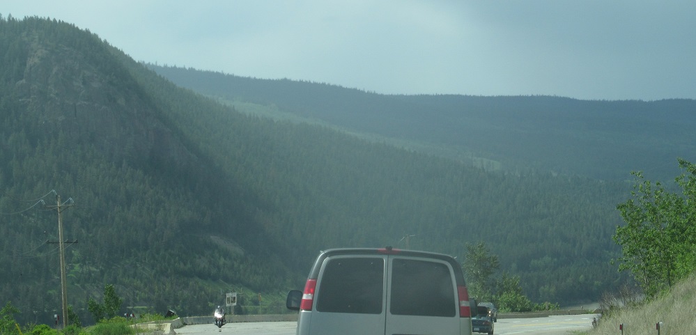
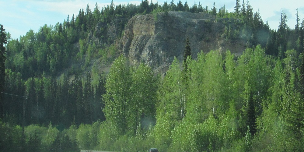
Heading north from Cache Creek. As best I can tell, that's not a former mine to the west, just bare rock slopes.

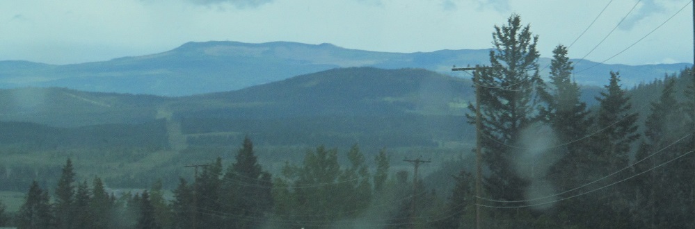
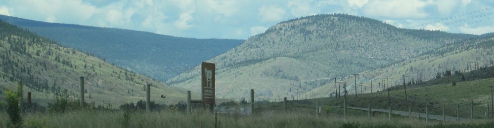
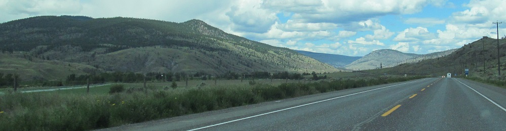
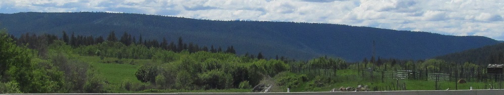
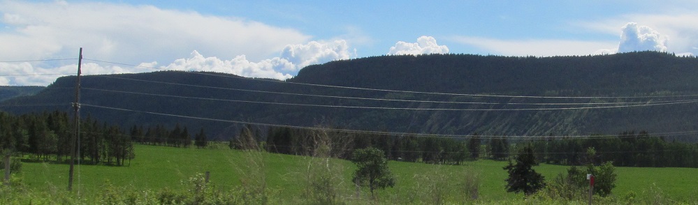
Entering the Marble Range, then looking north around 105 Mile House.
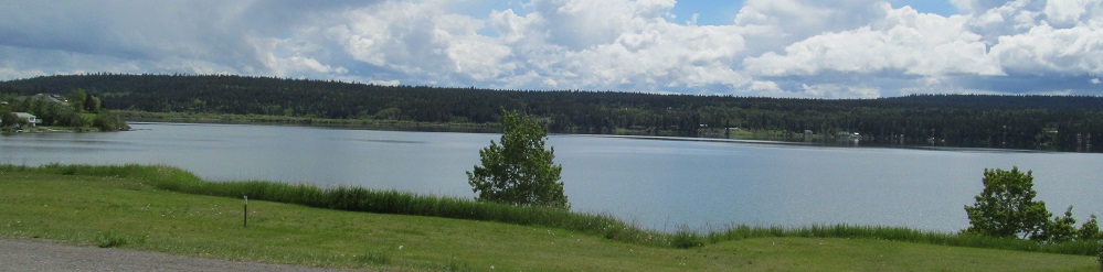
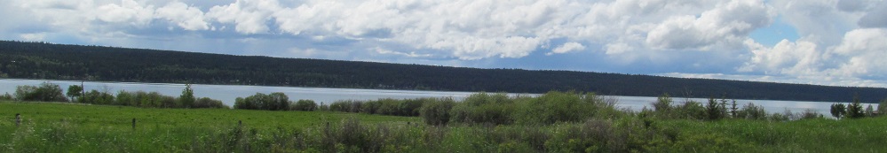
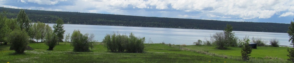
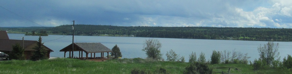
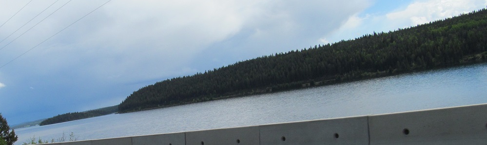
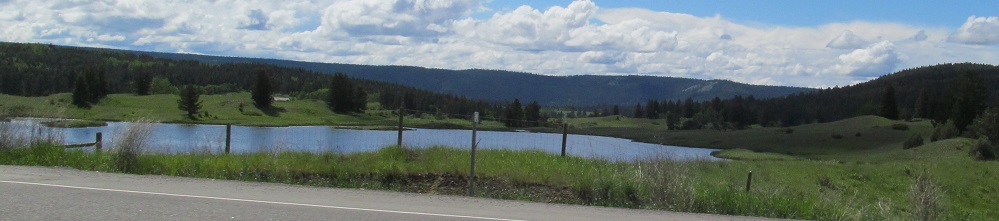
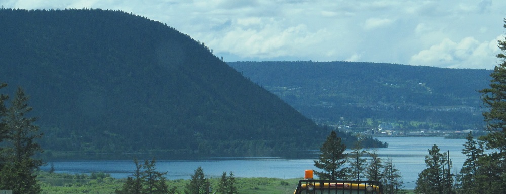
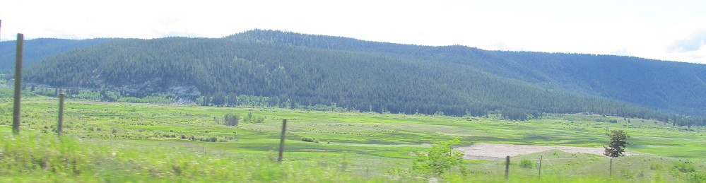
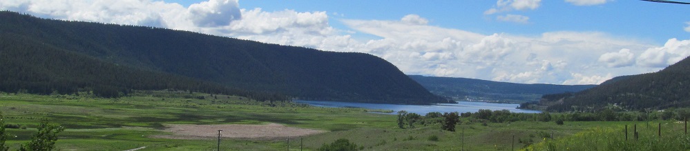
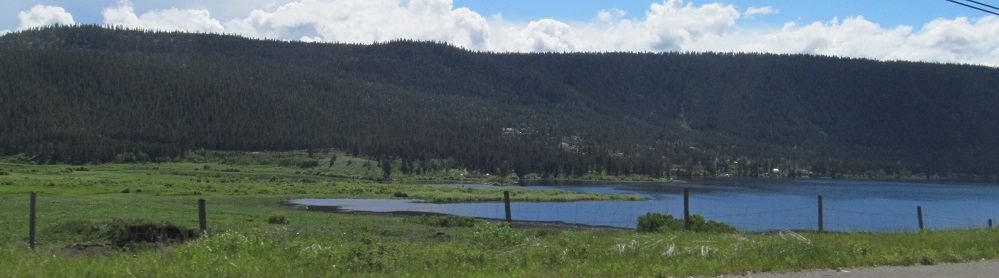
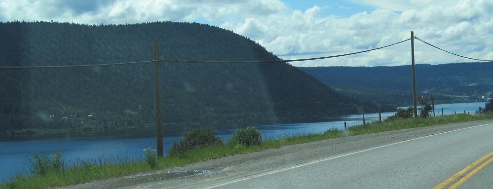
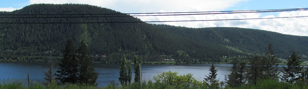
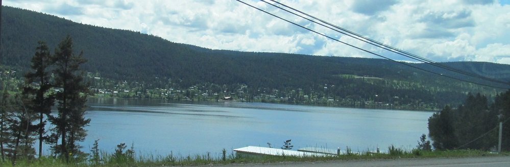
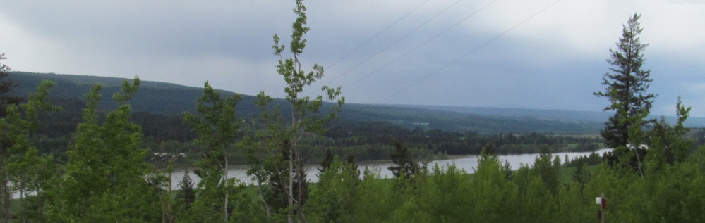
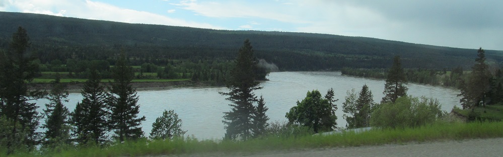
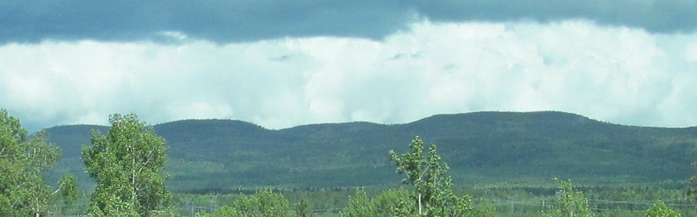
Various views of Lac La Hache, which Highway 97 passes on the east.
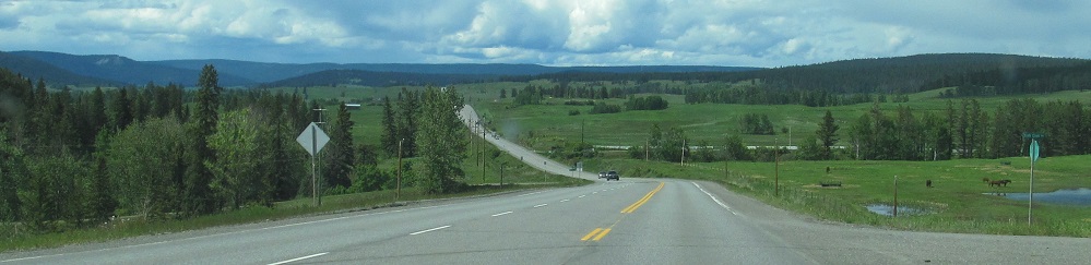
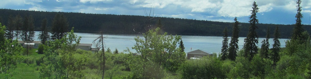
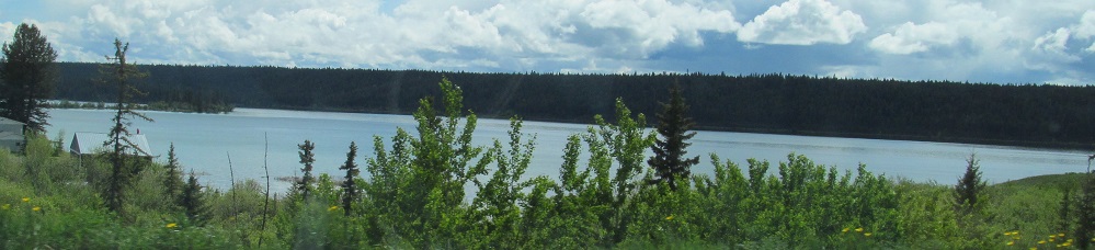
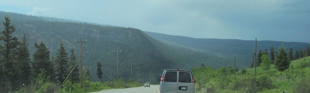
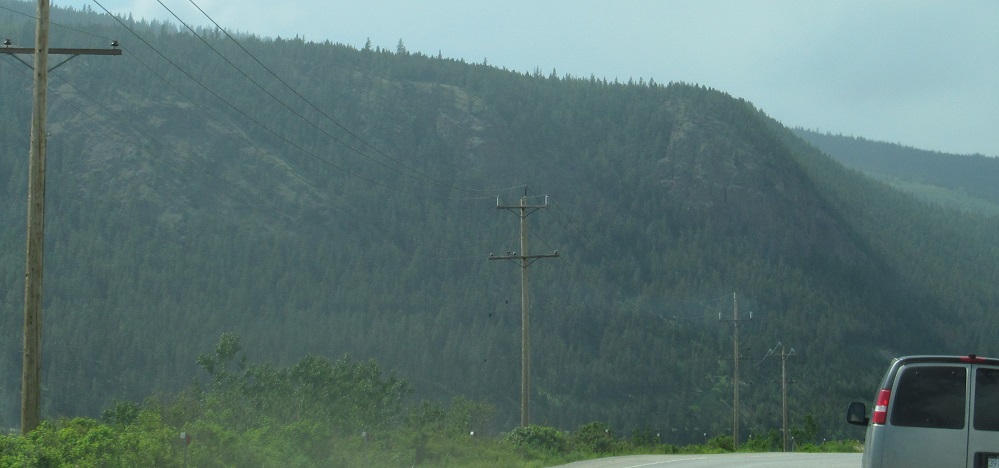
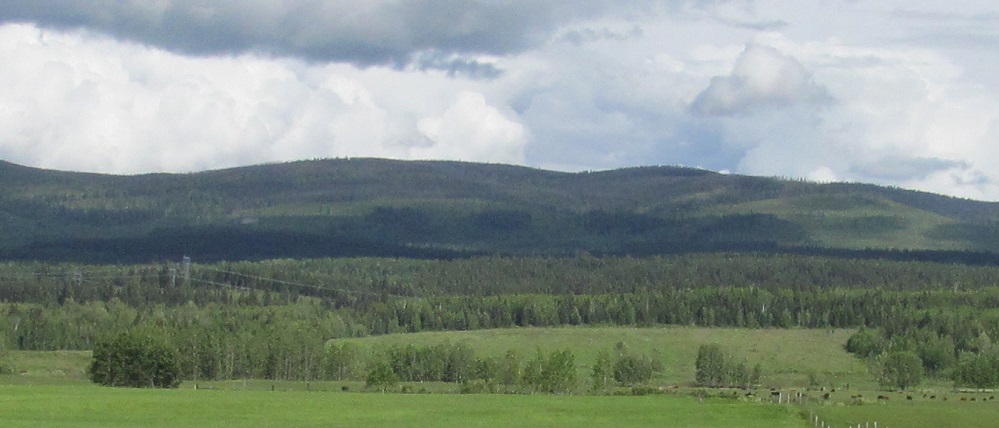
The first two photos are at Knife Creek Road (141 Mile House) and Mission Ponds.
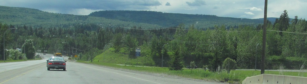
A left/right pair of photos as the highway approaches Williams Lake.
Driving by Williams Lake, again to my west.
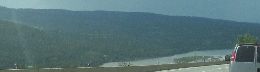
Starting on the north side of McLeese Lake and continuing along the Fraser River.
Here are my only eastward-facing photos on this page, although the first was taken 15 minutes before the others.
Facing roughly west toward Pinnacles Provincial Park as I'm about to enter Quesnel.

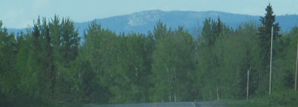
Starting about 40 kilometres north of Quesnel, then looking west in Red Rock.
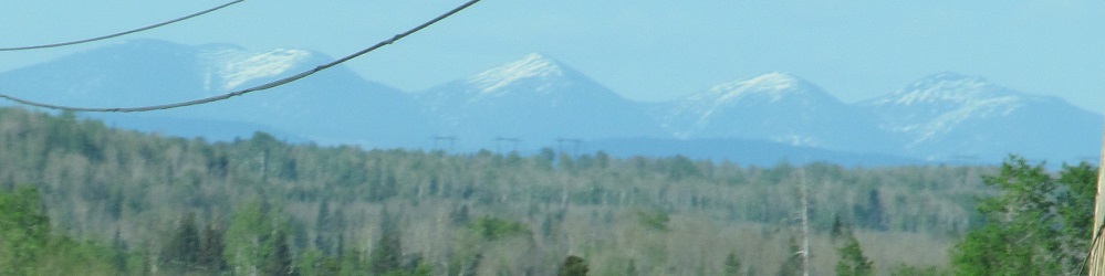
Skipping Prince George (nothing to see there), this looks north near Wright Creek at Mt. Vreeland, Ice Mountain, Mt. Ovington, and Mt. Sir Alexander.
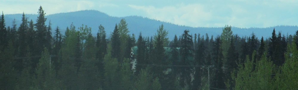
Continuing north until I'm by Davie Lake for the last two photos.
Continue north on Highway 97
Back south on Highway 97 to Trans-Canada Highway 1
Back to Highway 97 main page
Back to British Columbia Non-Roads
Back to Non-Roads main page