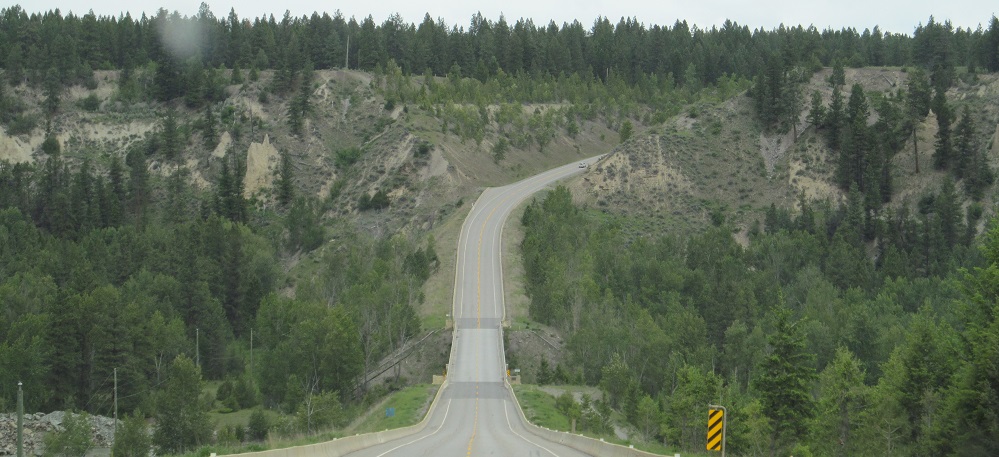
British Columbia - Highway 93 - S of Elko
Highway 93 south of Elko
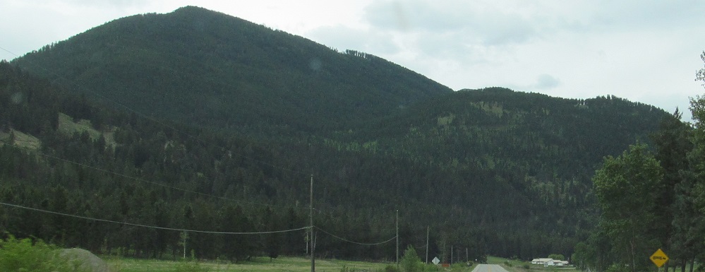
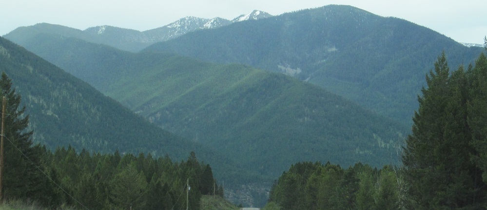
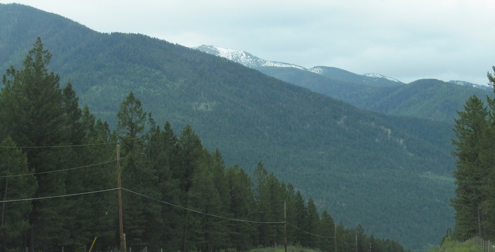
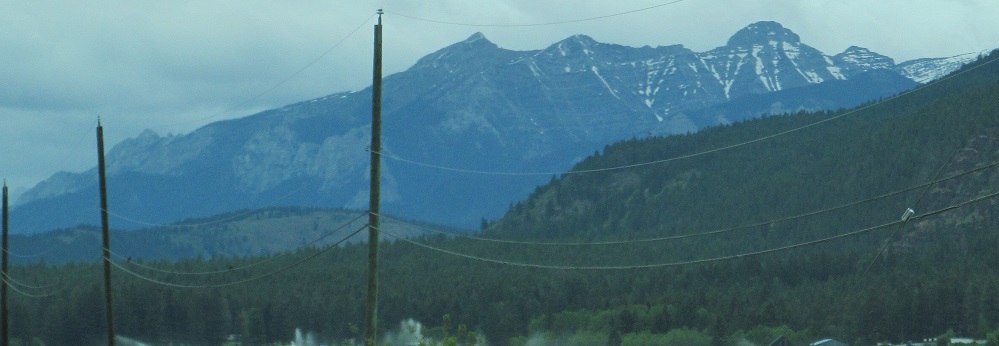
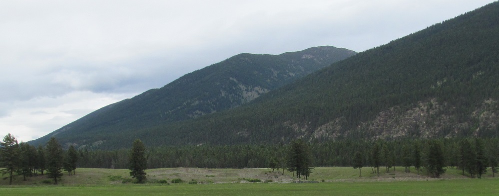
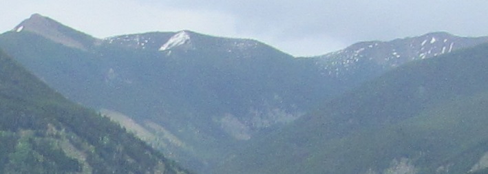
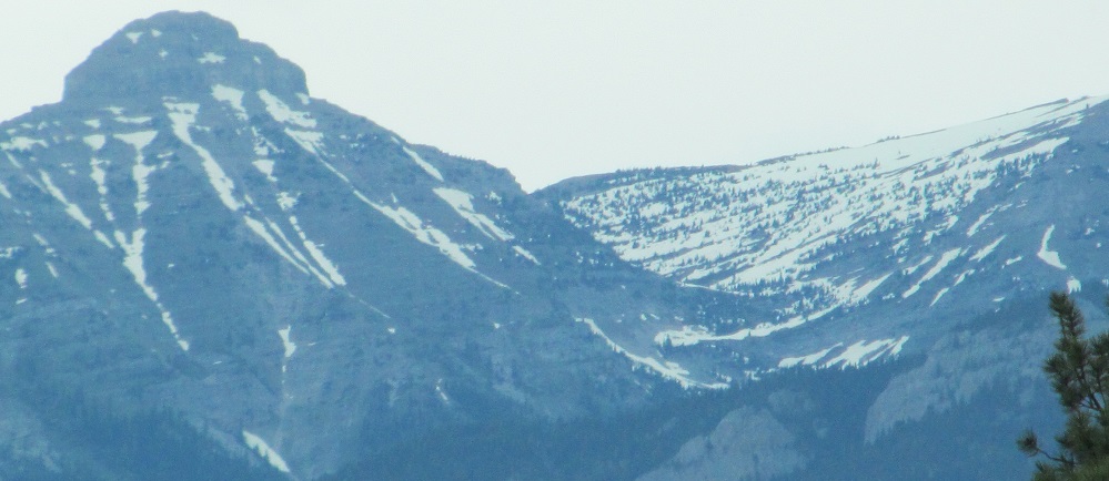
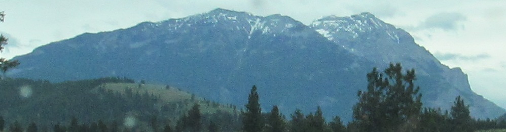
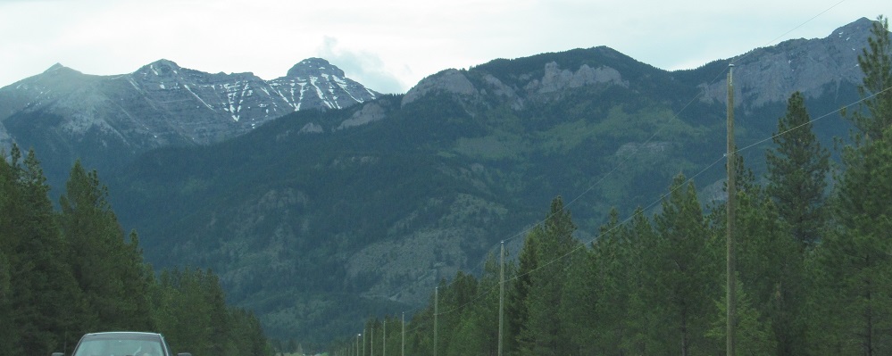
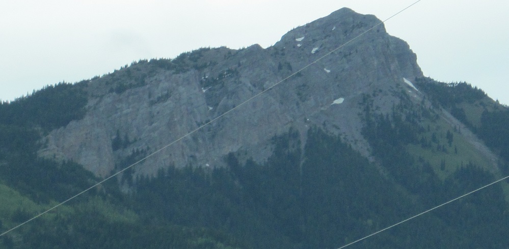
Looking south at Mt. Mahaney, the high point in the Galton Range, then north at it from the border. If that doesn't look like the high point, unfortunately it was a cloudy day and most of the mountain was invisible, so you get the front slope.
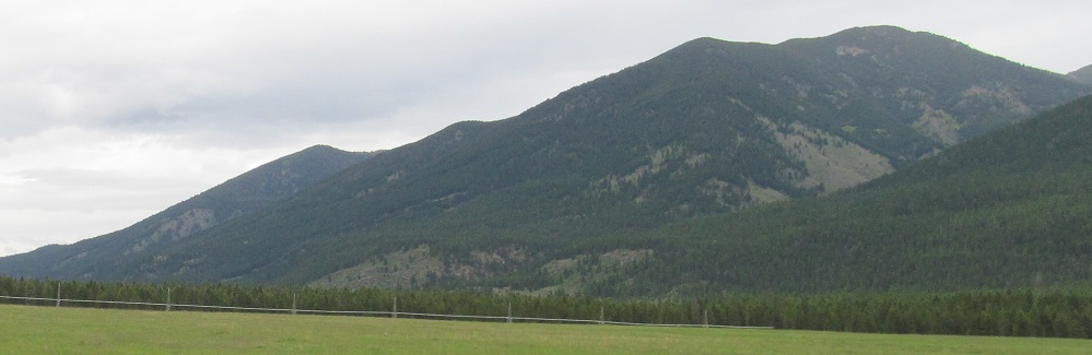
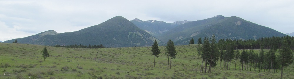
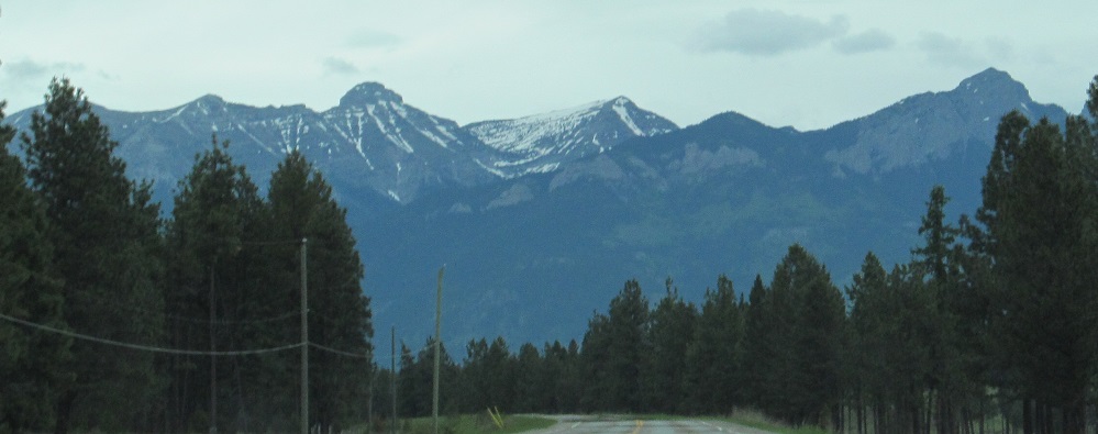
Heading south toward Mt. Mahaney.
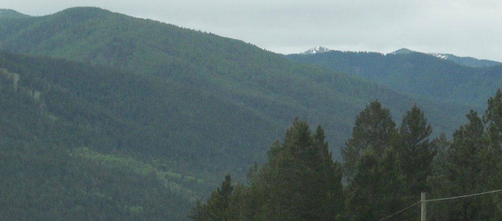
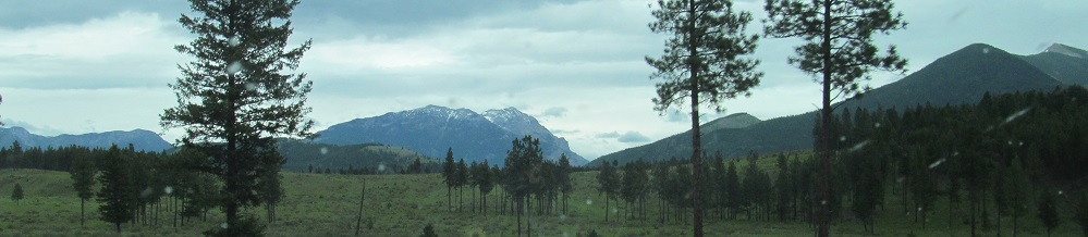
Heading north next to Mt. Mahaney.
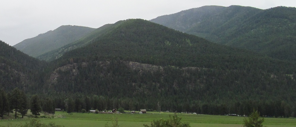
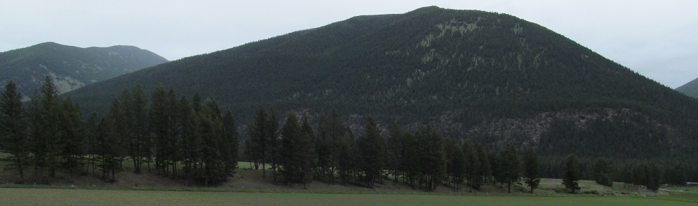
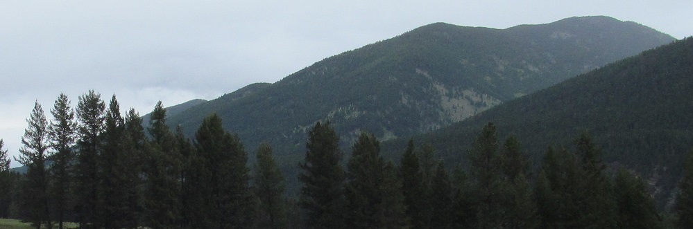
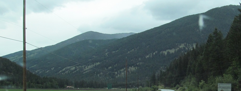
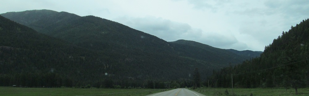
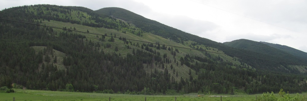
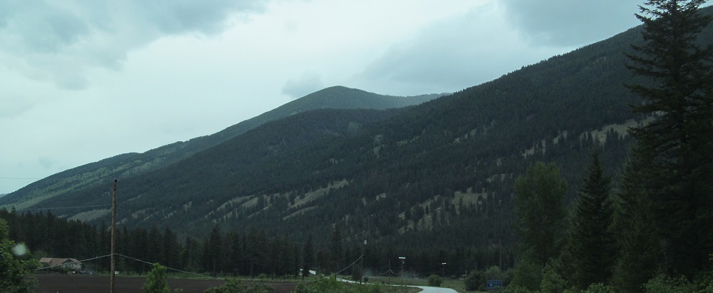
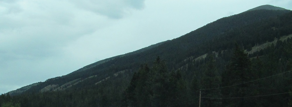
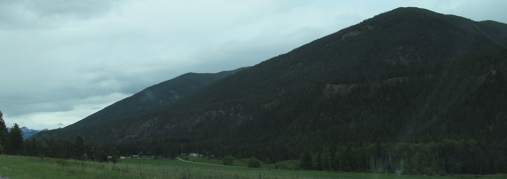
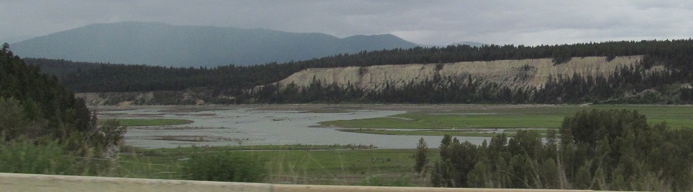
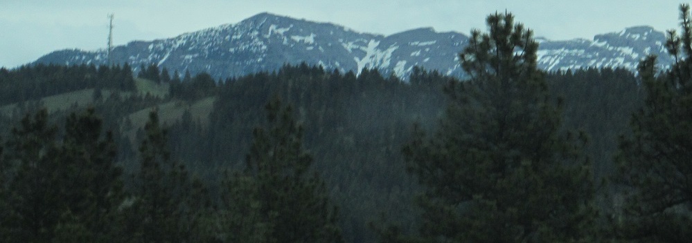
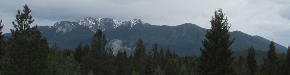
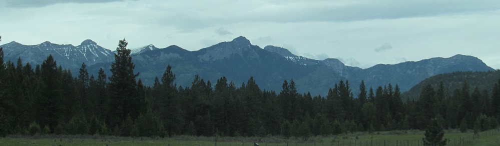
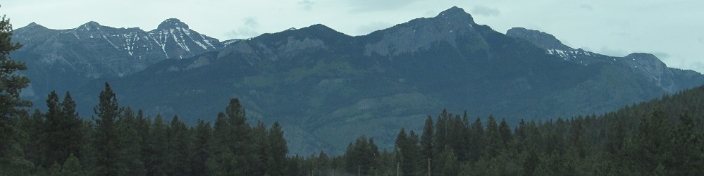
A bunch of southward photos of the Galton Range. Starting with the 4th photo, the last five pan from south to northeast.
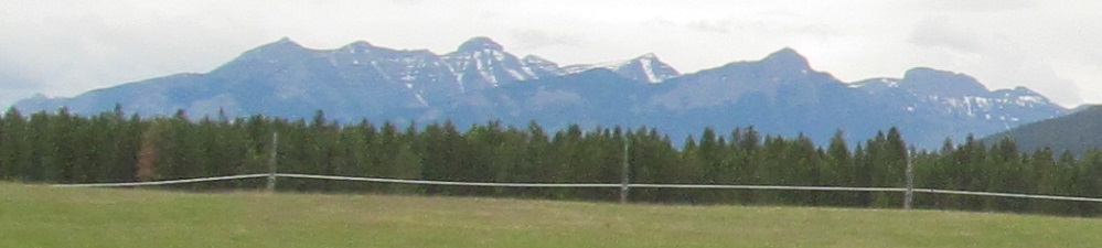
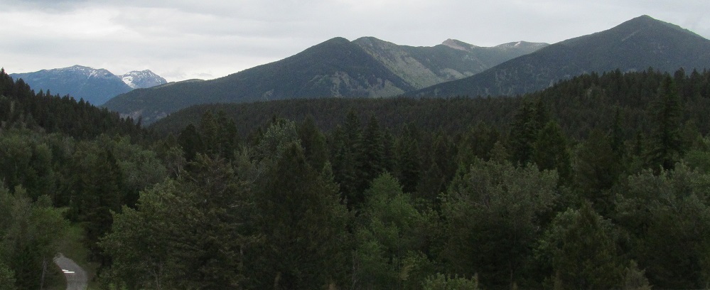
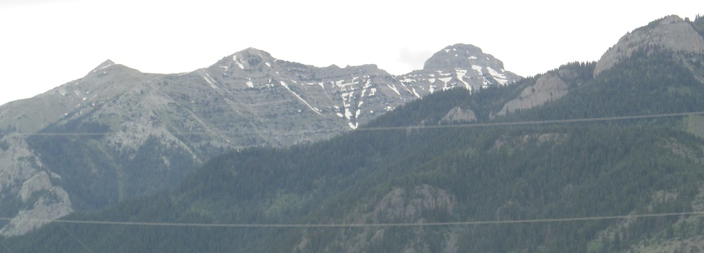
Looking north past the end of the Galton Range, the Lizard Range appears about 25 kilometres north, behind the Highways 3/93 junction. You can see more of the Lizard Range - well, first below on this page, but then also on the Highways 93 and 3 page linked at bottom.
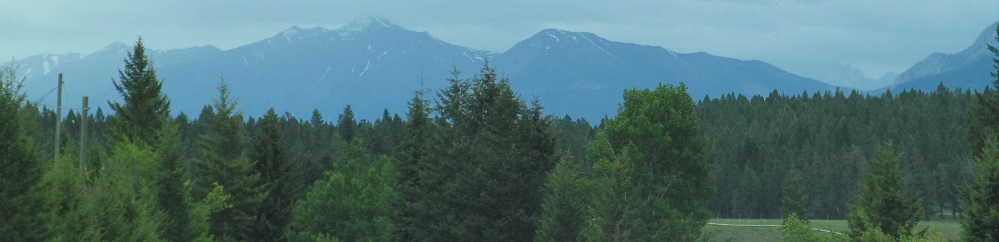
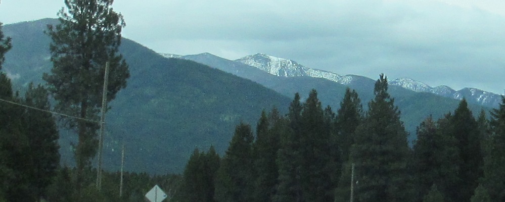
A brief glimpse of the northwestern leg of the Lizard Range, which is a whole 35 kilometres away.
Galton, Galton, Lizard, Elk. These are all heading north, with the last photo at the Elk River crossing.
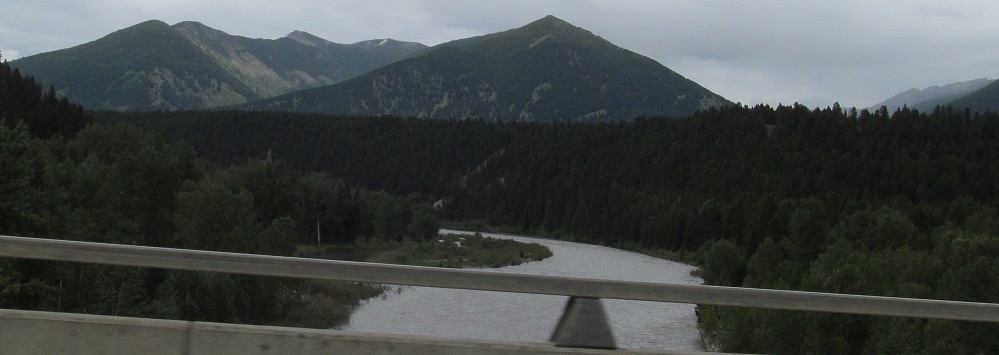
Eastward views of the Galton Range's northern extremity, with the last 2 photos taken at the Elk River. Mt. Broadwood sneaks into the last photo to the northeast.
Looking west along the Elk River affords a view of the Purcell Mountains in the McGillivray Range.
A Lizard lick or two, then a couple of Mt. Broadwood.
Heading south from Highway 3, this is your first view of the Galton Range to the southeast and the Purcell Mountains to the southwest. The second photo features a hazy Gold Mountain.
The Lizards grow ever closer as you head north toward Highway 3. If this doesn't scare you, you might be a Lizard Person.
Continue north on Highways 93 and 3
Back to Highway 93 main page
Back to British Columbia Non-Roads
Back to Non-Roads main page