British Columbia - Highway 93 - Mts. White Tail-Norman
Highway 93, Mount White Tail to Mount Norman
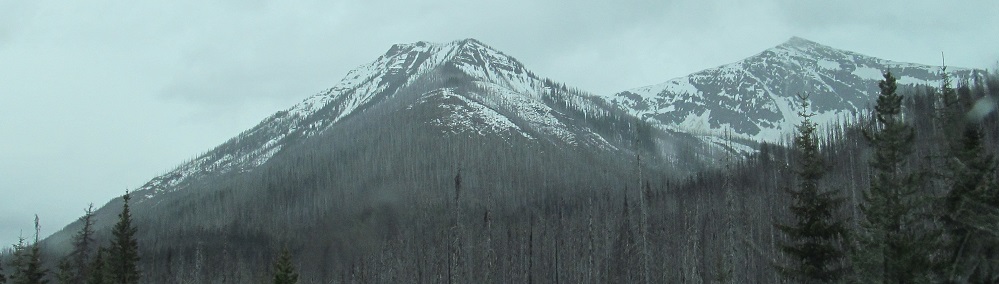
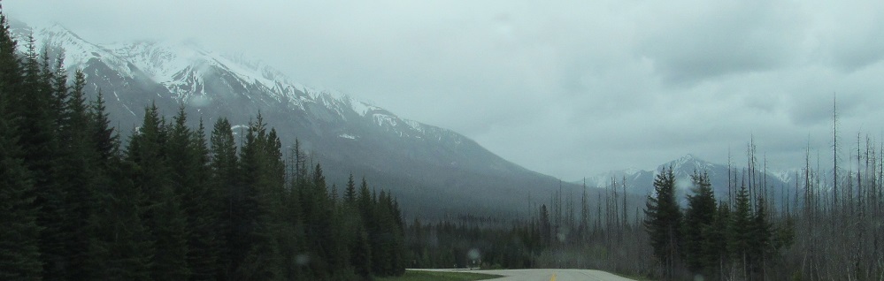
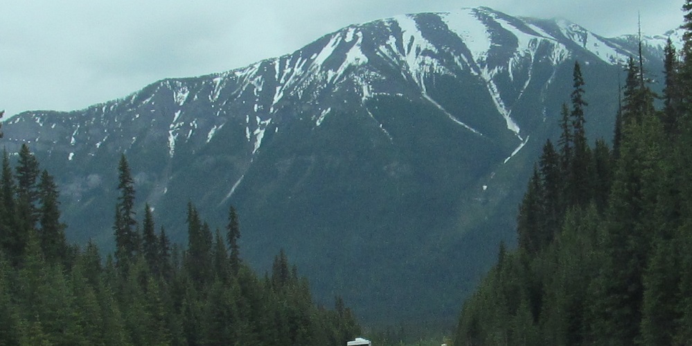
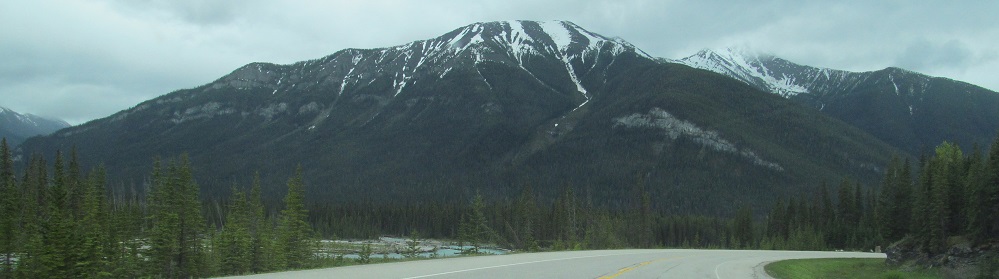
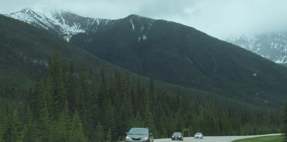
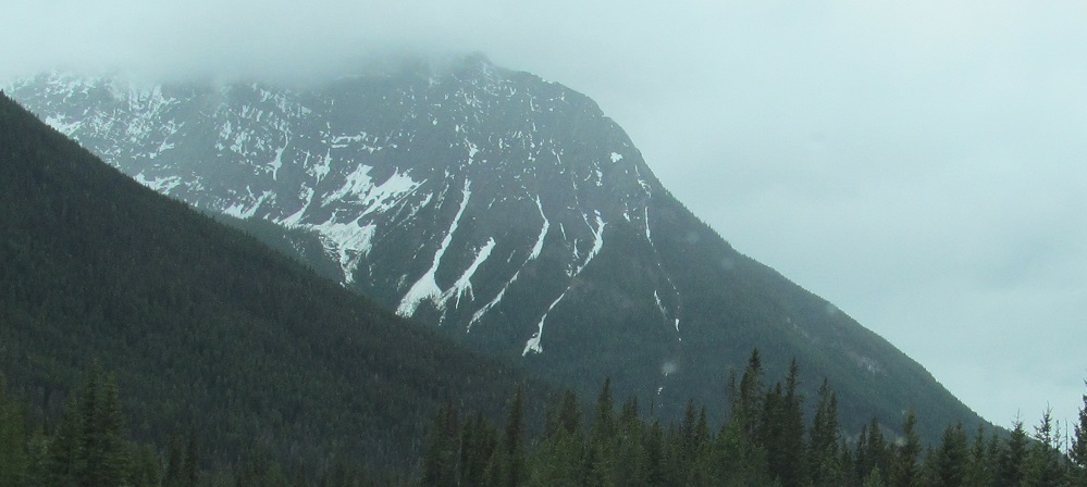
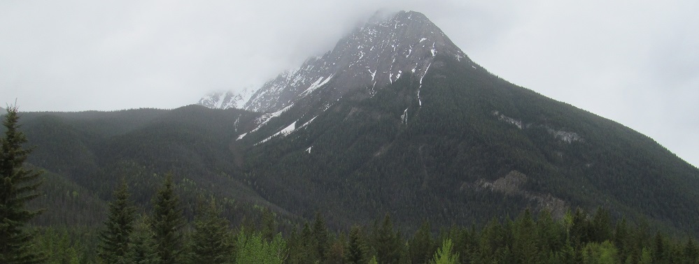
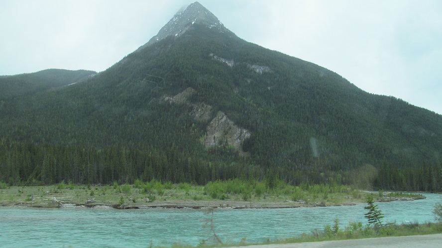
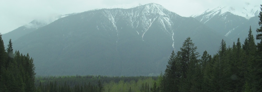
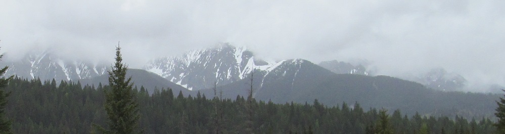
As promised, Mount White Tail.
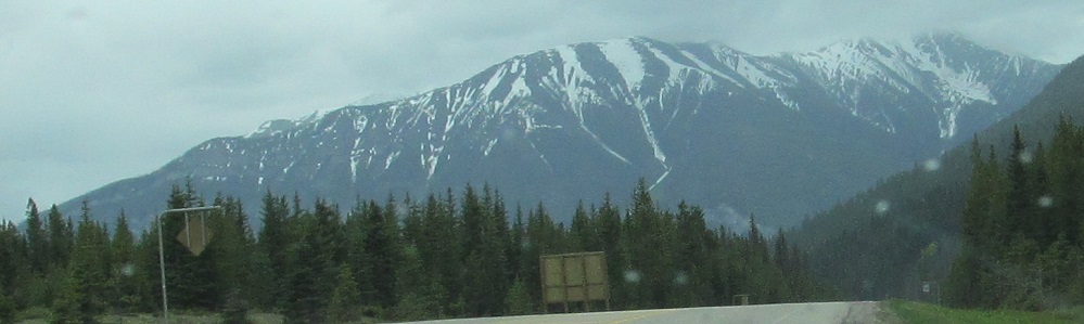
Looking ahead to Spar Mountain from the remnants of Mt. Verendrye (this was technically taken before I got to Mt. White Tail, but I used poetic liberty).
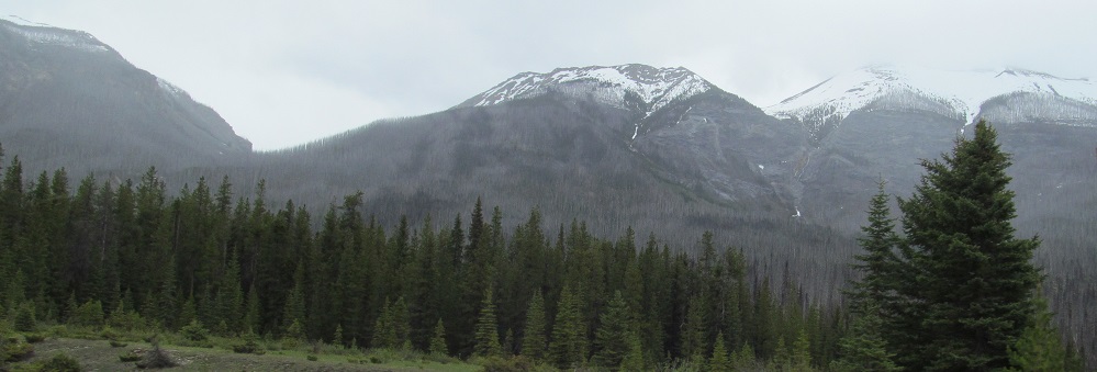
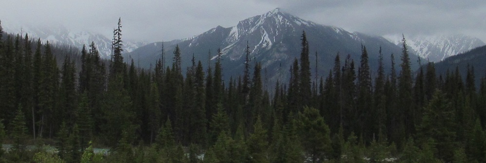
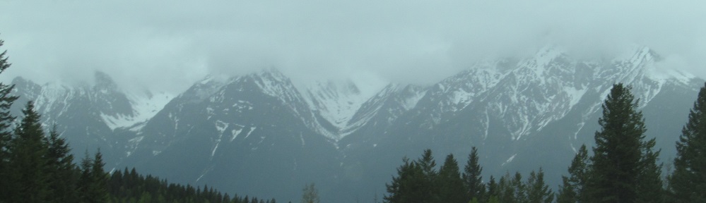
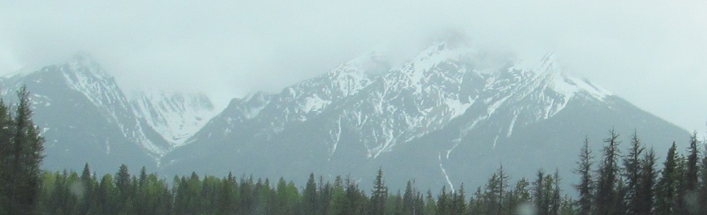
Hawk Ridge blends into Mt. Shanks.
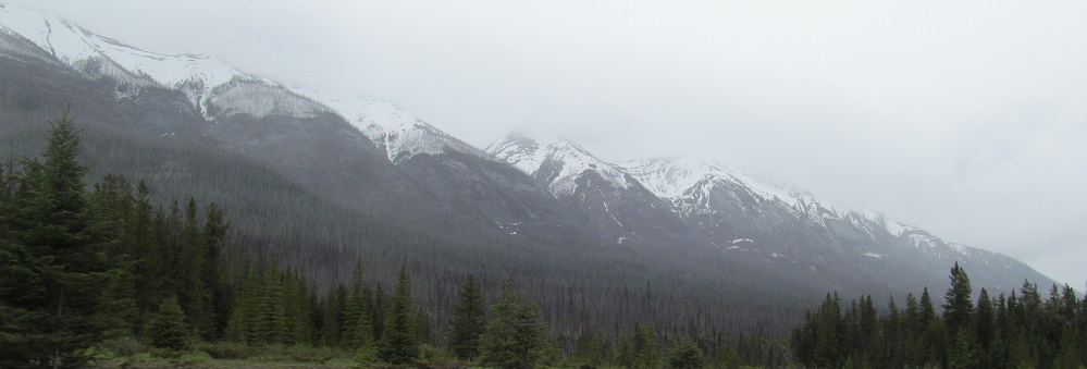
Hawk Ridge, looking south at Vermilion Crossing, to the left and right. The base of the front leg of Scarab Peak is at far left.
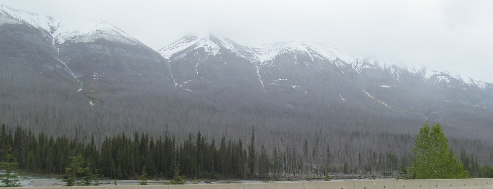
More Hawk Ridge, and a return to Octopus Mountain to the southwest.
Panning from Hawk Ridge to Mt. Shanks. This is it for Hawk Ridge.
More of Octopus Mountain and all you'll see of Indian Peak to its left.
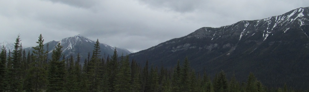
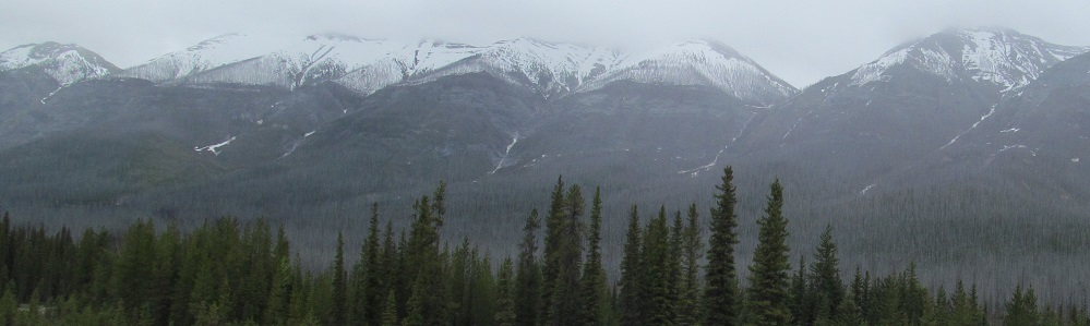
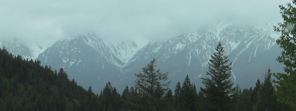
Octopus Mountain gives way to the east and west ridges of Spar Mountain as the Simpson River joins the Vermilion River. Split Peak is next, in the last photo.
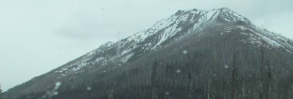
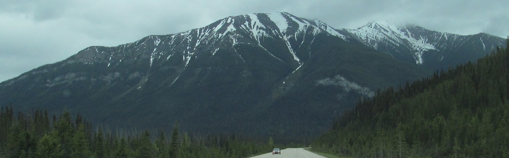
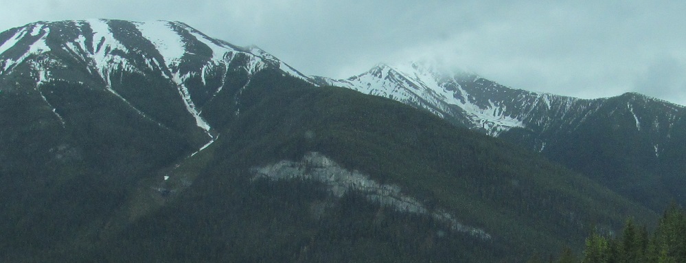
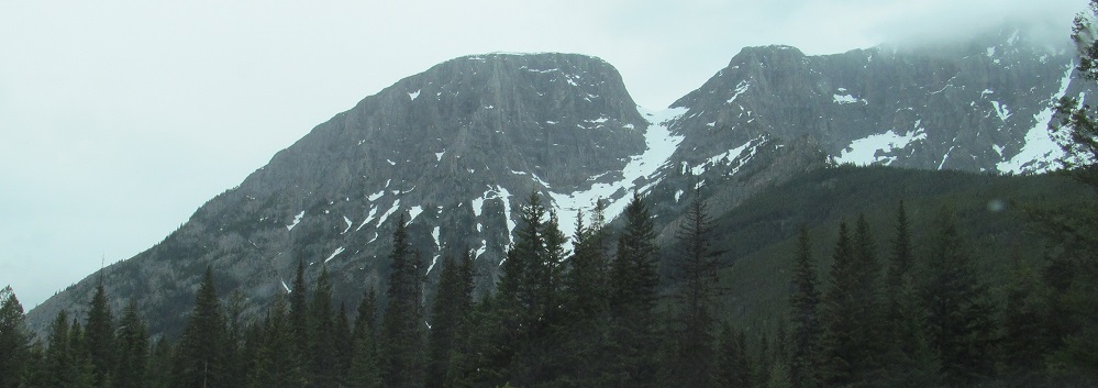
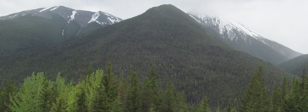
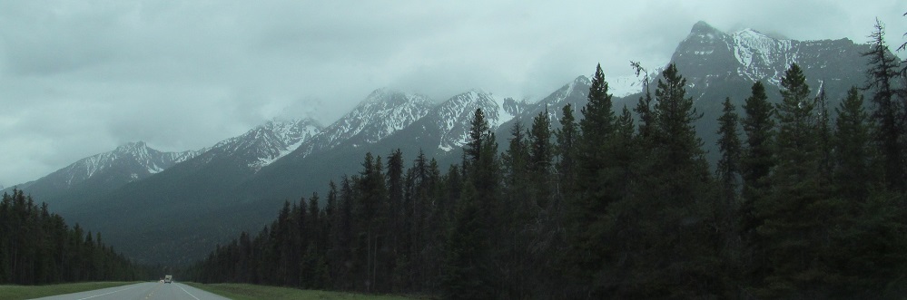
Panning from left to right across Spar Mountain into the south side of Mt. White Tail.
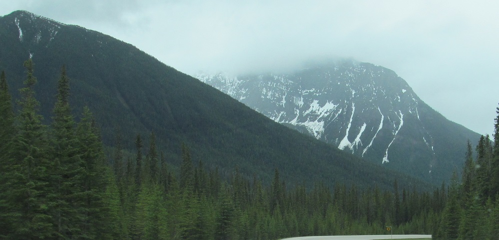
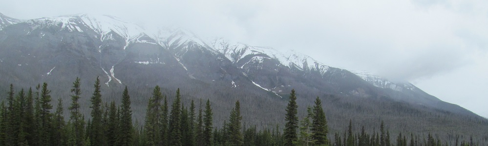
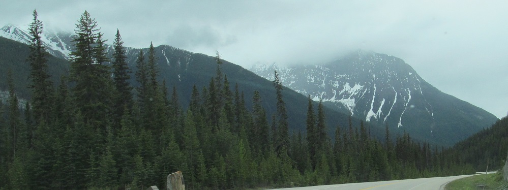
The end of Spar Mountain blends into Split Peak, the cool snowy one.
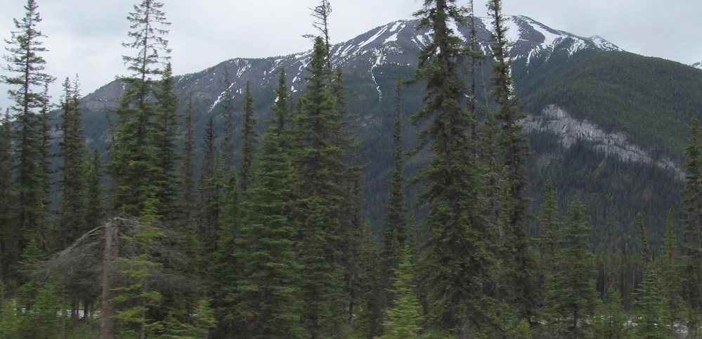
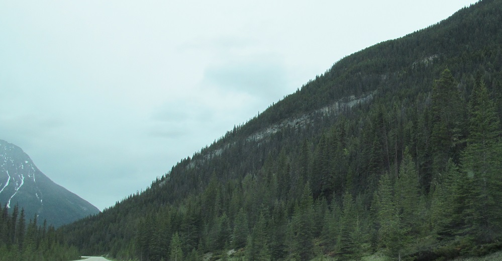
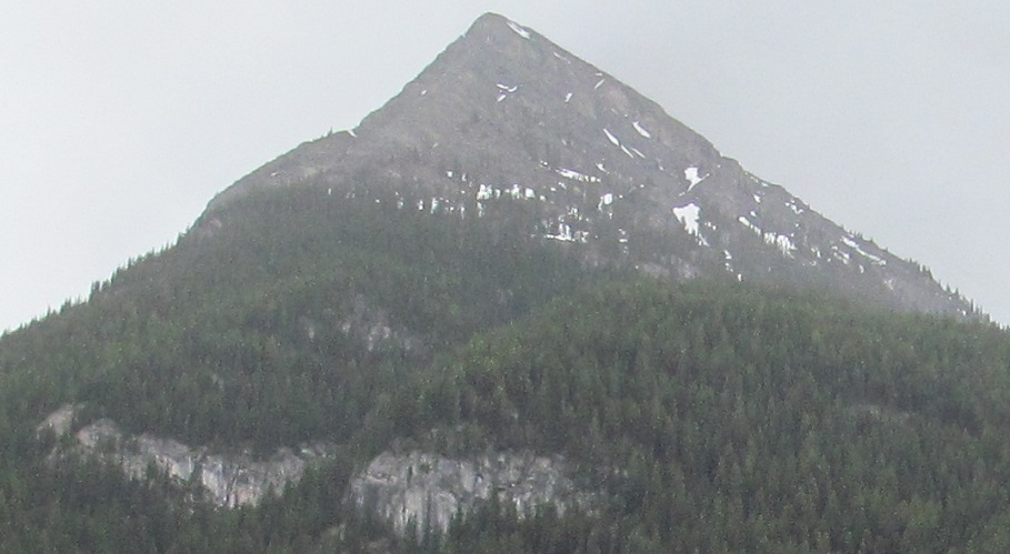
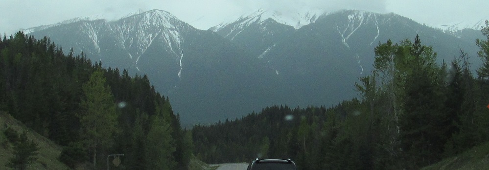
With Mt. White Tail gone, the next mountain on my right (west) is a tiny but interesting piece of Mt. Wardle.
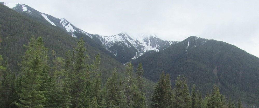
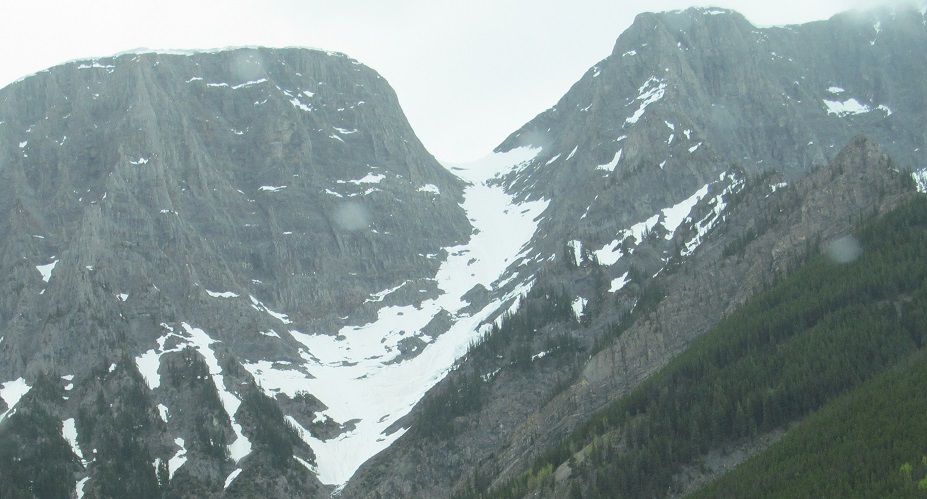
This is Split NW3, a secondary peak that makes Split Peak a split peak.
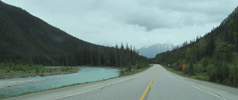
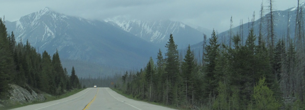
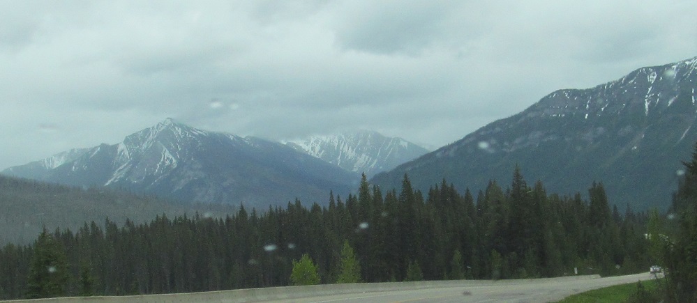
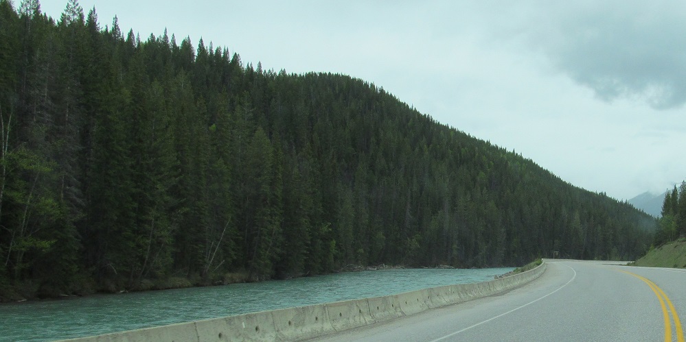
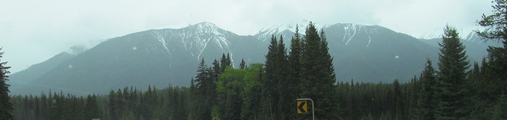
Say goodbye to Spar Mountain, as the highway turns west with the Vermilion River and heads through Luxor Pass toward the Kootenay River valley and the Brisco Range.
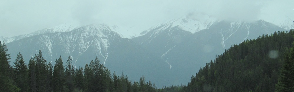
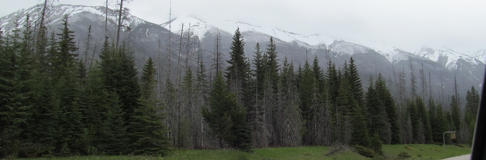
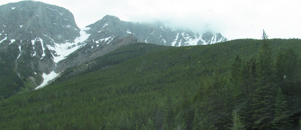
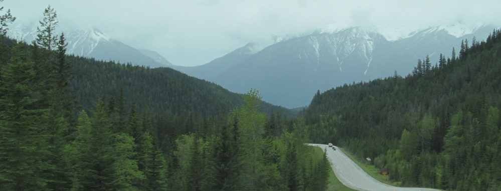
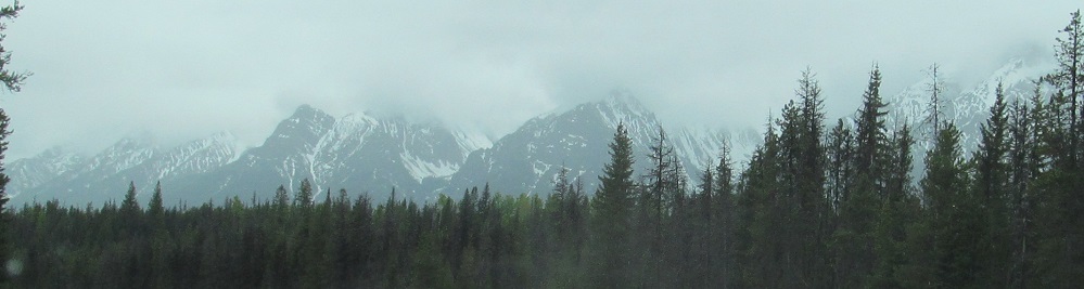
Starting at Split Peak, then panning around to the Brisco Range. The last photo is Mt. Norman, a named peak just left of the previous photo's run of unnamed peaks.

A Brisco Range pan from Mt. Norman toward the north.
Brisco, Brisco, Norman, Norman.
Last views of Split Peak, looking east at the left and right sides of its west face.
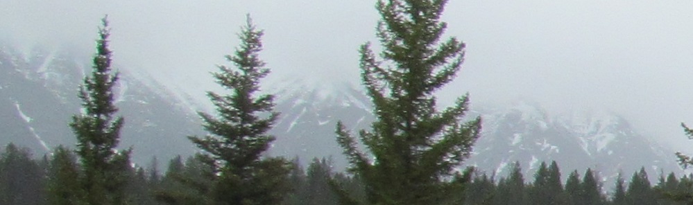
Mt. Norman blends into Mt. Kindersley, which will begin the next page.
Continue south on Highway 93
Back north on Highway 93
Back to Highway 93 main page
Back to British Columbia Non-Roads
Back to Non-Roads main page