British Columbia - Highway 3 - Fernie & E
Highway 3, Crowsnest Highway - Fernie and east
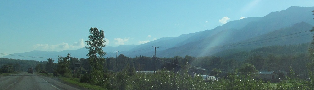
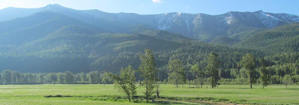
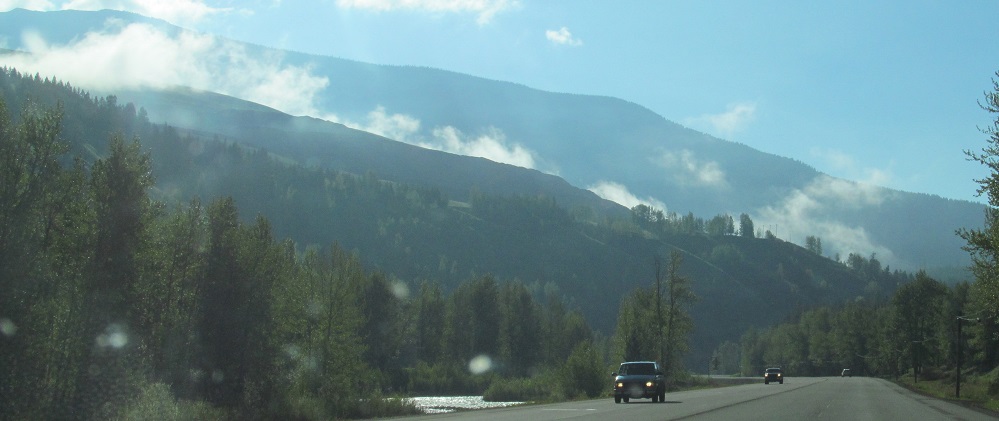
Once I leave Fernie, all photos were taken heading east.
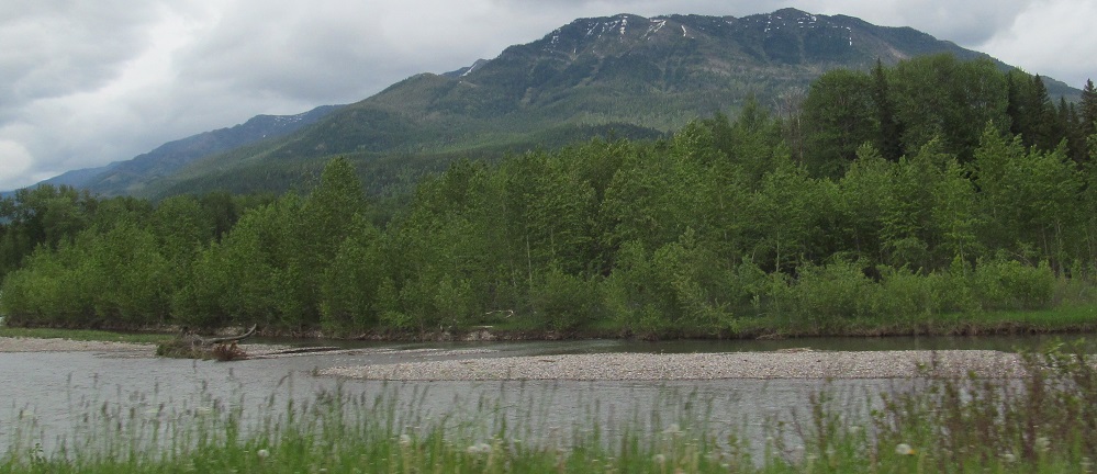
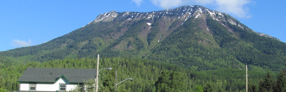
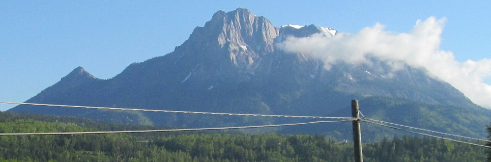
This is the southern half of Fernie Ridge by afternoon. Looking northeast in the summer, you can predict what it will look like by morning.
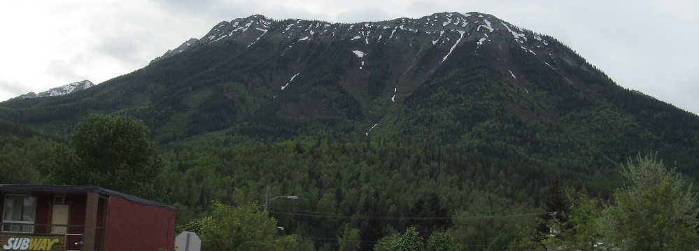
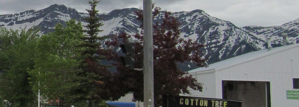
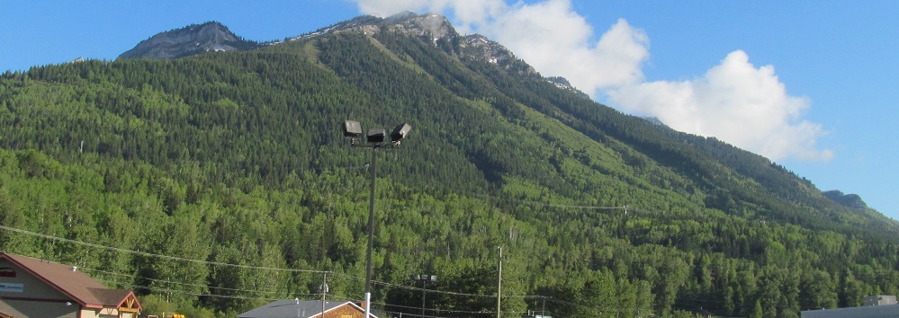
Mount Fernie overlooks its eponymous city to the west, here seen along 4th Street. The ridge to the back left is a spur from its peak.
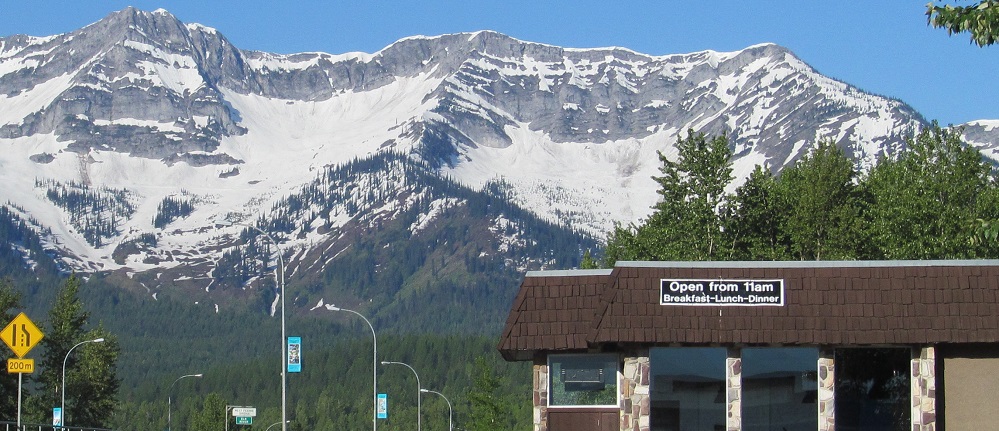
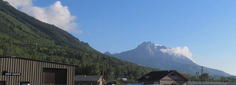
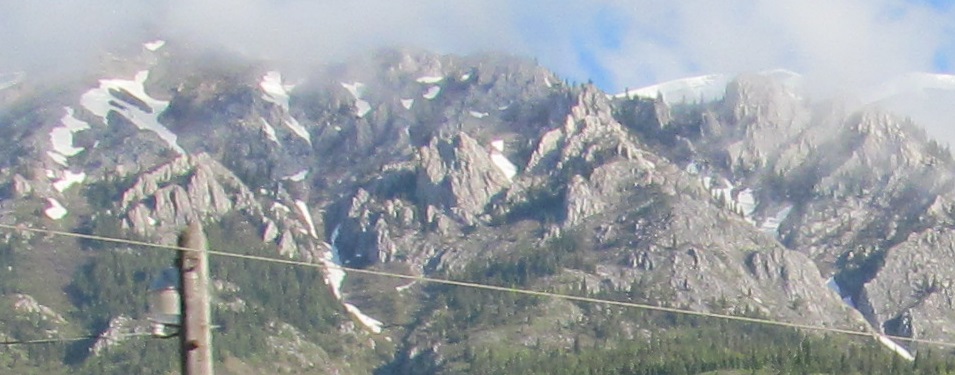
Crystal-clear skies give me a banner view of the north end of the Lizard Range, looking south from there the next morning.
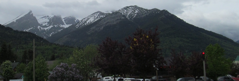
For comparison, here was the view from 7th St. (left and right) in the late afternoon.
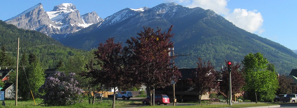
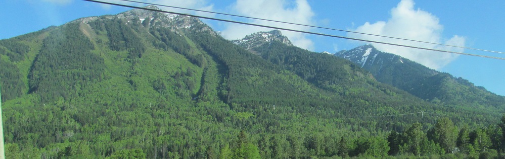
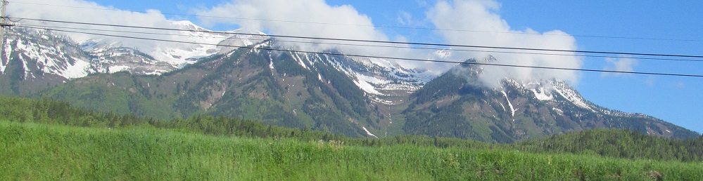
What a difference a day makes! Both of these photos look northwest at 7th Street. The cloudless morning gives a much more vivid and clear view of the Three Sisters, particularly the three peaks at left that give the mountain its name. The foggy evening looks much more foreboding.
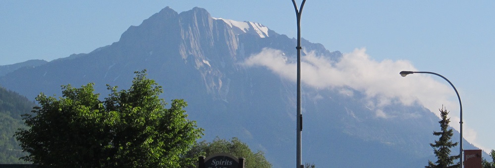
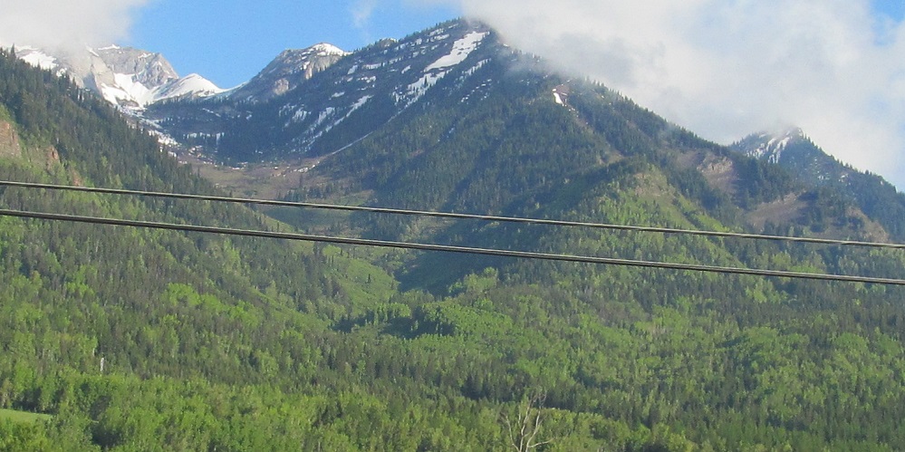
The greater visibility of the morning sky lets me see Mt. Hosmer, which is east of the Three Sisters.
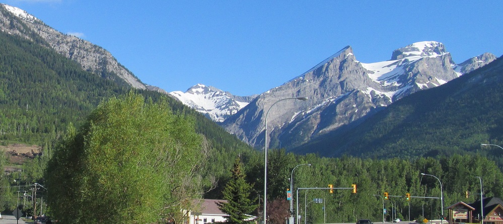
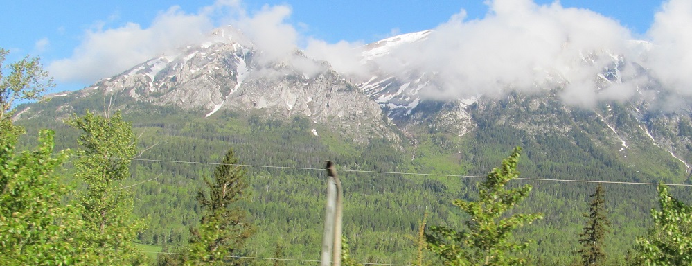
Leaving Fernie (and thus heading east), these northwesterly photos pan from Mt. Fernie on the left to the Three Sisters on the right.
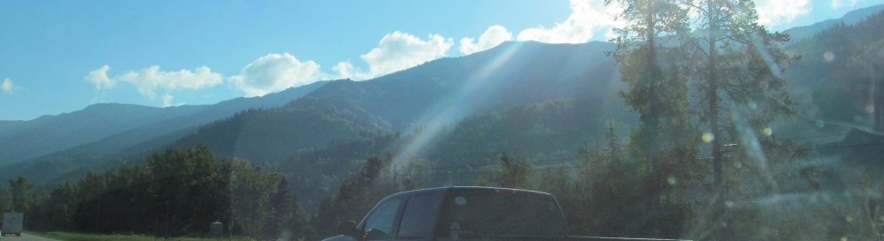
Look back to my first caption. This is Fernie Ridge straight into the early morning sun, transitioning into Hosmer Ridge in the distance. Notice anything? No? Not surprised.
A pair of left-right photo pairs showing off the Three Sisters and Mt. Hosmer.
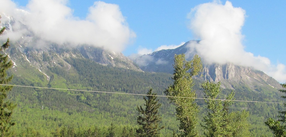
Left and right closeups of the nearest peaks of the Three Sisters, now to the west.
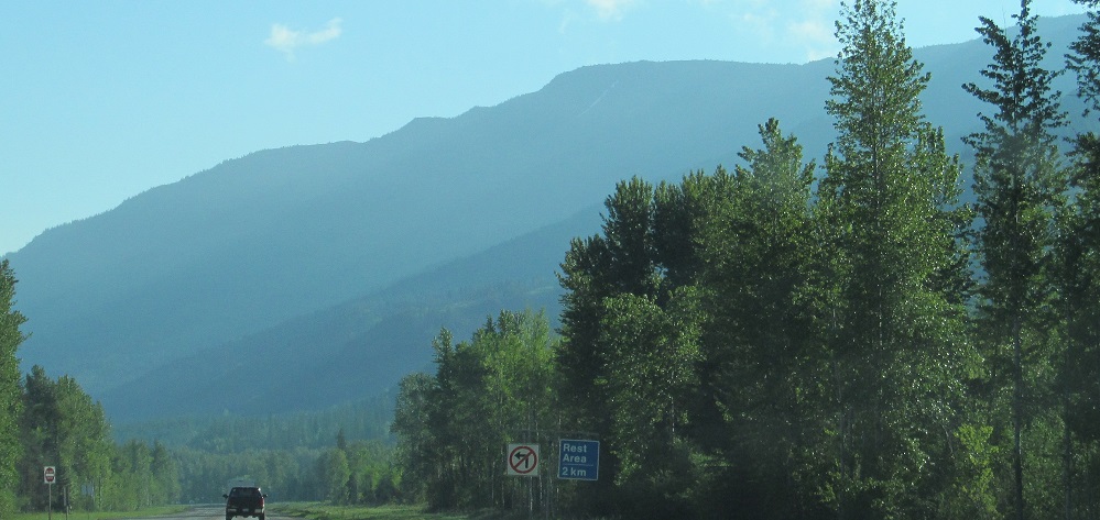
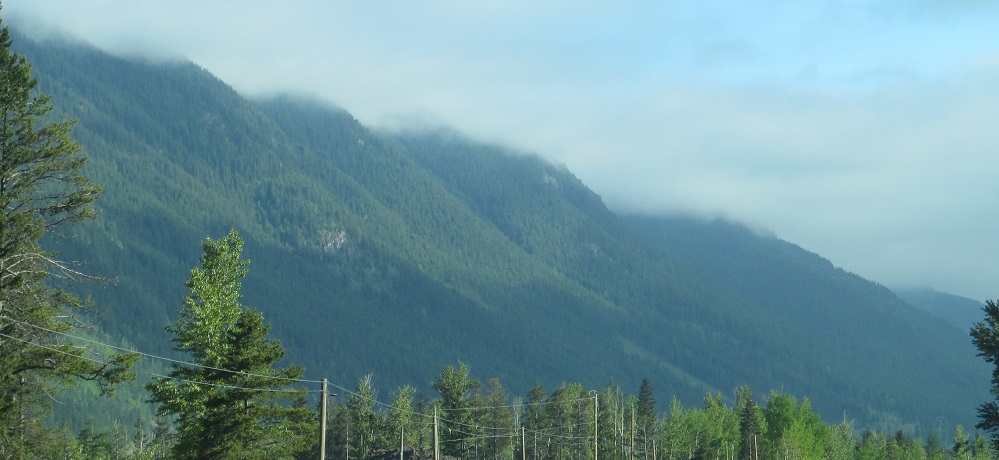
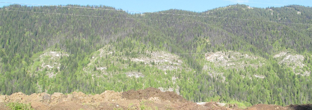
More of Fernie Ridge across the Elk River. If I look southeast so the sun is at a 90° angle, I can at least see colors and snow.
The last you'll see of Three Sisters, looking southwest at their collective petticoat.
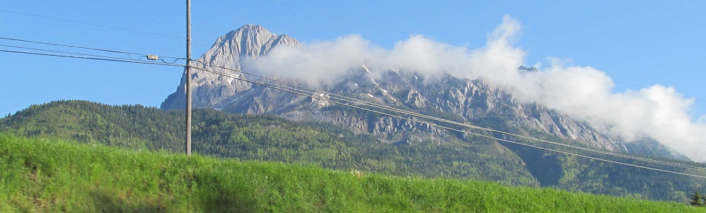
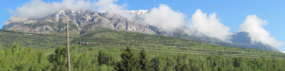
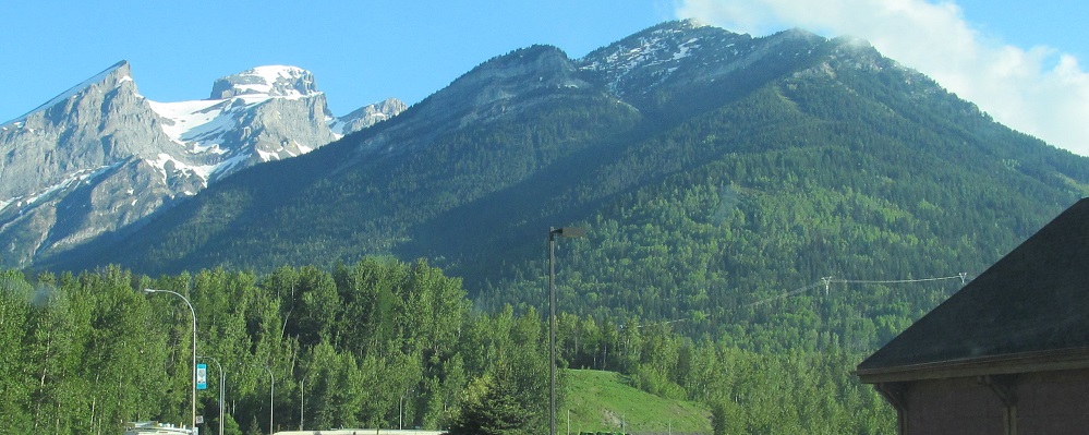
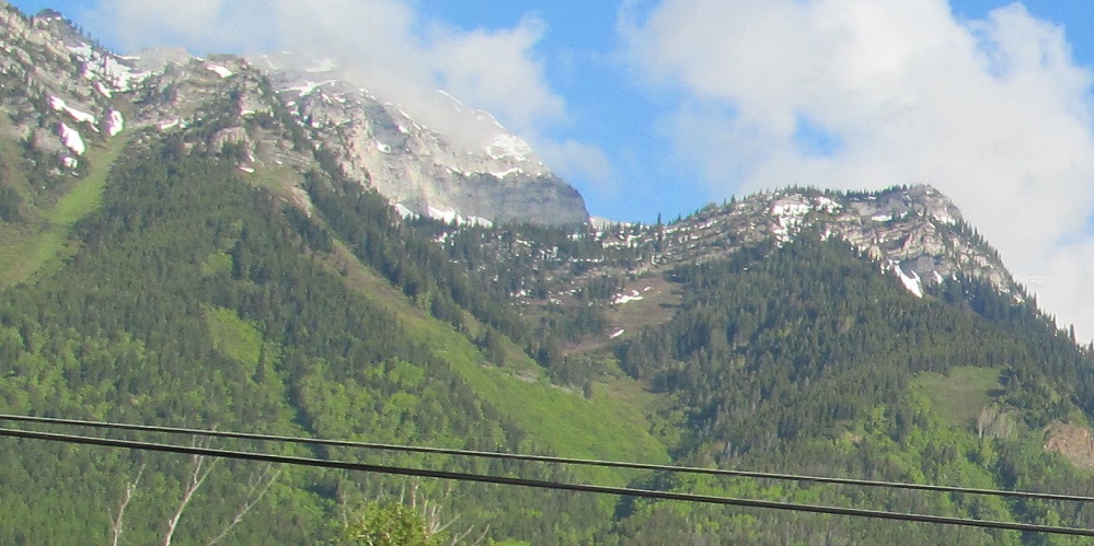
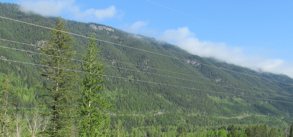
Plenty more Mt. Hosmer, ending with left and right closeups of its peaks.
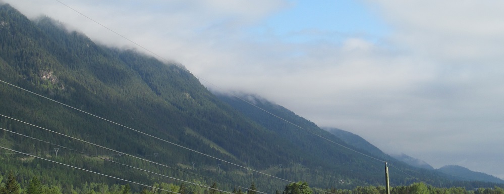
After picking up from Fernie Ridge, Hosmer Ridge gives way to Sparwood Ridge (first photo and rear of the second; hard to tell where they transition).
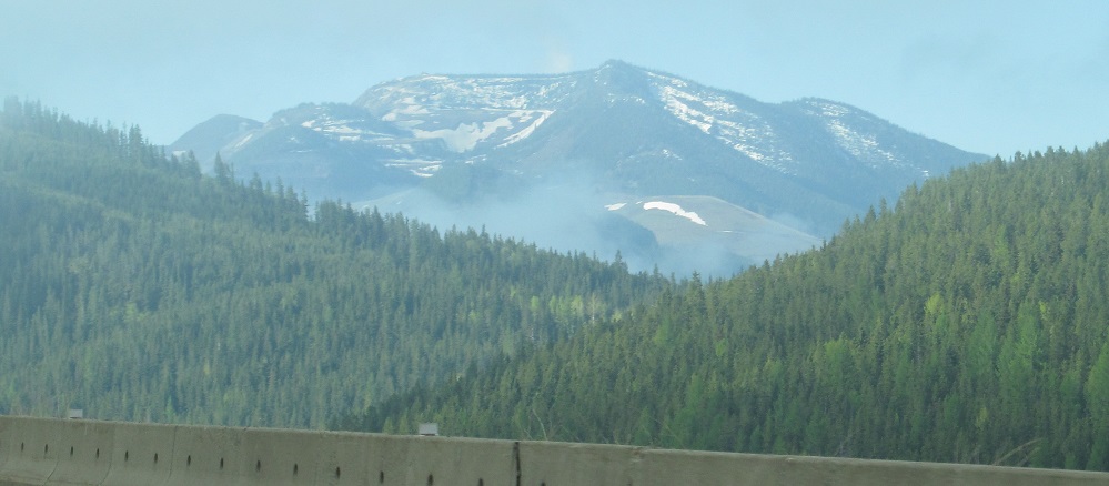
One last look back southwest at Mt. Hosmer, and next up on my left (northwest) is the ridge in front of Mt. Kuleski, panning from right to left.
A left-right photo pair of the Kuleski ridge.
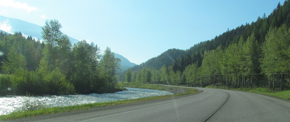
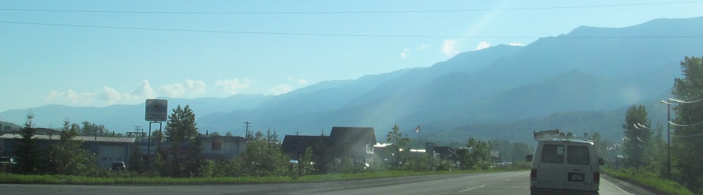
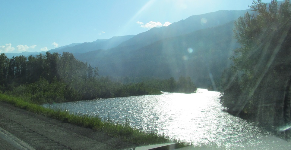
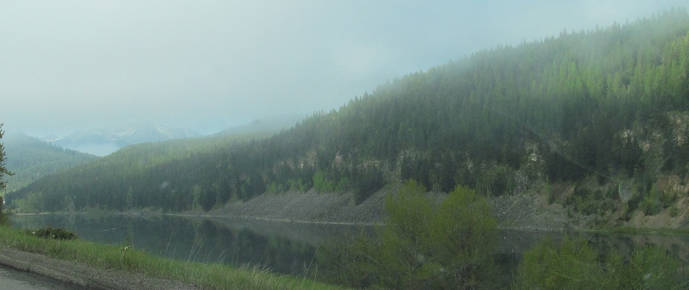
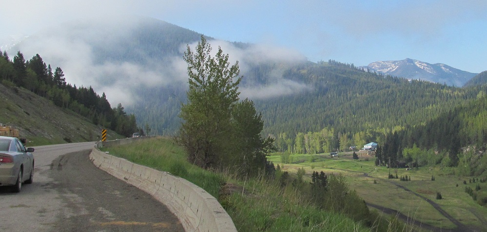
Photos jump past Sparwood, now following Michel Creek to the Alberta border. The trailing end of Sparwood Ridge is on my right and Mt. Erickson is on my left.
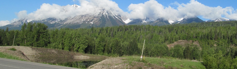
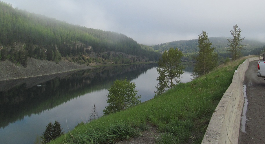
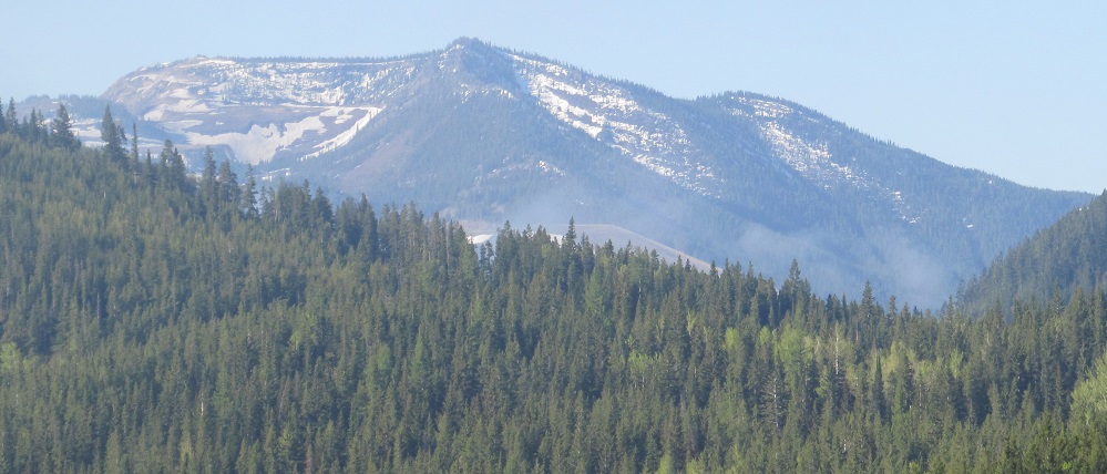
About 1 kilometre from the border, I come upon Summit Lake. Sure enough, the actual summit of Crowsnest Pass is at this lake, wholly on the BC side of the border. The second photo looks south from there, clear across Alberta to Tent Mountain, which is along the BC/AB border in the Crowsnest Range.
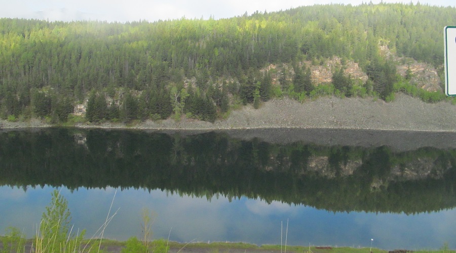
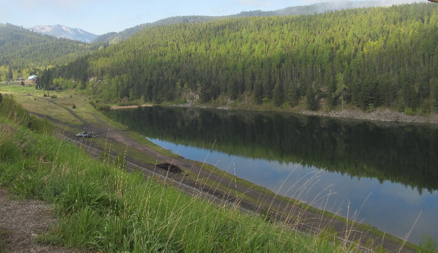
Panning from northwest to southeast along Summit Lake, ending with another Tent Mountain closeup.
Back west on Highway 3
Back to Highway 3 main page
Into Alberta on Highway 3
Back to British Columbia Non-Roads
Back to Non-Roads main page