Alberta - Trans-Canada Highway 16
Trans-Canada Highway 16
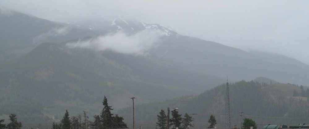
Unfortunately, my visit to Jasper National Park was a rainout, but I gave you as much as I could see of the peaks and snowy hills. Besides, you can find sun-drenched mountain photos on any of a thousand travel blogs. Enjoy an eerie, mystical change of pace as I head west from the eastern boundary to the Icefields Highway, Highway 93.

Entering the park, the first clear photo I took is the foothills of Folding Mountain and Roche à Perdrix.


The end of Ashlar Ridge passes to my south. Is that a tiny glacier?


Next on the south, the foothills of Roche Miette. The rock itself is hidden by the cloud in the centre of the third photo, and many of the trees have been cleared by fire. The hills on the northwest side of the highway are farther away, and thus the fog has claimed most of the scenery on that side.


Talbot Lake, Cinquefoil Mountain (left of the first photo and most of the others), and Roche Jacques (right of the first photo), with the base of Hawk Mountain in the back of the 2nd photo lurking for the next set.


But first, Athabasca River forms Jasper Lake, and then I get more views of the west side of Cinquefoil Mountain across Edna Lake.


There's Hawk Mountain, or as much as we'll be able to see today, and the Athabasca River between there and Pyramid Mountain.


Plenty more Hawk Mountain foothill photos. The last two photos are a left-right pair.

To the right of all that, the Hawk Mountain foothills blend into the bottom of Mt. Colin.


For once, I can see something when I look to the right: Pyramid Mountain.


The Mt. Colin foothills blend into the bottom of Grisette Mountain behind the Athabasca River.


The road and river curve toward Mt. Tekarra and the foothills of Signal Mountain.


Neither right nor left, Whistlers Peak (the front of the complex of peaks around Majestic Mountain) looms as I turn off to head through Jasper.
Trans-Canada Highway 16 roads photos
Back to Alberta Non-Roads
Back to Non-Roads main page