Alberta - Lake Louise
Lake Louise


I present you with some hoary marmot heinie. I think. It might just be a mountain squirrel.


The view heading south from Trans-Canada Highway 1 to Lake Louise features the four closest of the mountains that ring the lake: Saddle Mountain (backed by Sheol Mountain) and Fairview Mountain on the left and in the second photo, Devil's Thumb/Mt. Whyte and Mount St. Piran on the right. (The Thumb is a formation on the ridge coming down from Mt. Whyte's peak.)

Mt. Temple is the next one south from there, briefly visible as the road winds toward the resort.


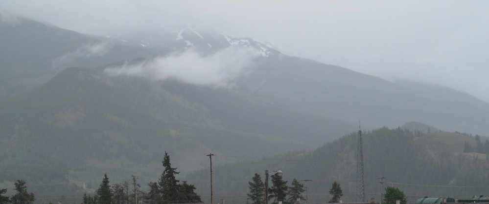
A rainy view of Mount St. Piran and clear views of Fairview Mountain and its distinctive nubbins.


Closer views of Devil's Thumb and The Beehive (the bulge in front of it) to the left of Mount St. Piran.


Three photos ringing the lake, followed by closeups of three features: Fairview Mountain, the gap at the south end of the lake, and Devil's Thumb/Beehive with a clear view of its striations and a foggy view of Mt. Niblock behind. Maybe because it's a resort area, every little prominence around the lake has a name. Here are all of the ones I haven't named, from left to right: Haddo Peak, Mt. Aberdeen, The Mitre, Mt. Lefroy, Mt. Huber, Mt. Victoria and its North Peak, Mt. Collier, Mt. Popes. Those all come between Niblock and Whyte, in the depths of the 2nd photo, and this doesn't include all of the mountains around those. There's a reason people visit Banff.


Still more mountains to behold on the drive away from the lake, in the order I beheld them: Whitehorn Mountain to the northeast, Lipalian Mountain to the east, and Redoubt Mountain between them and to the back.


Another view of the abutting halves of Whitehorn and Redoubt Mountains, then all three of them together.


Panning north from there, through the north slope of Whitehorn Mountain (in front of Richardson Mountain on a clear day), to Mt. Hector.
Lake Louise roads photos
Back to Alberta Non-Roads
Back to Non-Roads main page