Alberta - Calgary
Calgary


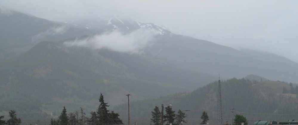
Three views of downtown from different perspectives: East from Sarcee Trail, north along MacLeod Trail at Union Cemetery, and west along 9th Avenue.


Starting east of the Elbow River at 9th Avenue and 9th Street, the 1903-1962 Alexandra or New East Ward School was the second sandstone school building (oddly specific) in Calgary.


The first photo is the southwest corner of the same intersection, and then I look west toward downtown and The Bow, named for its shape and the river next to it, Calgary's tallest building at 250 metres.


Now the Hose & Hound, this started as a more useful building in 1907.


Continuing east along 9th Avenue, and ending with one photo facing back (south)west at the 1912 Burn Block.


Buffy the Bison welcomes you to the completely reconstructed Fort Calgary. It was mostly town down in 1882 due to lack of need as the city grew with the new railway, but then a barracks building was built in 1888 and used for a number of years for various purposes, including a police station. Just know that nothing remained and everything is a replica if you visit.


Click on either photo for a closeup of Colonel James Alexander Farquharson MacLeod, militia officer, lawyer, magistrate, judge, politician, and second Commissioner of the North-West Mounted Police. But you can call him Jimmy. He is posed very heroically, facing away from the (fake) fort he is guarding and toward the city that he helped build.


Views from there: the junction of the Elbow and Bow Rivers at the northeast corner of the fort, then west toward downtown and Calgary Tower.


Just south of there you will find sandstone ruins, and not because of a fire. The Rundle Ruins come from an 1895 general hospital on 12th Avenue SE. It started with a modest 35 beds and novel electrical power and then grew wings and a second ward, but the site was still too small for the rapidly growing city. In 1908, it was left behind for a new hospital and served as a measles isolation site until 1954. It then became a senior residence - make of that what you will - until it had no further use in 1974 and was targeted for demolition. We now have a much better sense of preserving history than we did 50 years ago, but fate decided to help us out, and for some reason, some of the walls remained standing after demolition.


11th Avenue SW west at MacLeod Trail.

Olympic Park has its own page, linked below, but Calgary's downtown has Olympic Plaza where the medal ceremonies were held. It features fake columns for some reason and a bunch of orange pillars with the names of Calgary's parks. It's a weird place.


The 1911 Fire Hall #1, or the headquarters (and rental car facility), still stands in the shadow of The Bow, but hasn't served its original function since 1973.


The 1912 Odd Fellows Temple along Centre Street was later bought by the Chamber of Commerce and spent decades in each role.


Continuing north along 1st Street SW, the shiny Chinese Cultural Centre is at 2nd Avenue and the associated Sien Lok Park is at the end at Riverfront Avenue, making it a riverfront park.


Ghosts of buildings past, where Riverfront Avenue turns from east to south toward 5th Street SE, and then the now-gone hotel along 3rd Street SE north of 5th Avenue.
Calgary Stampede
Canada Olympic Park
Calgary roads photos
Back to Alberta Non-Roads
Back to Non-Roads main page