Alberta - Highway 3
Highway 3, Crowsnest Highway
Photos progress eastward and are generally within 90° of east unless otherwise stated.


Just inside the British Columbia border, Island Lake is on both sides (this photo looks northeast) and Mt. Sentry is ahead.


Panning across Crowsnest Lake to the north.


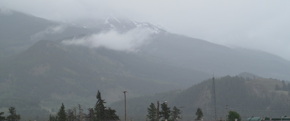
Another view of Crowsnest Lake from the Crowsnest Highway, and your first views of Turtle Mountain.

The special Crowsnest Highway marker tells you that this photo faces west (from Coleman), with Allison Peak in the distance.


More Turtle Mountain, continuing toward Blairmore.


A pair of hills guards my southward views of the Crowsnest Range, featuring Mt. Coulthard (left, two closeups) and Chinook Peak (right, 3rd photo).


East, south, northeast, southeast. The last photo may be Victoria Peak from the Crowsnest Range peeking through a gap next to Turtle Mountain.


Through Blairmore, Highway 3 grows ever closer to Turtle Mountain and picks up the Crowsnest River.


Turtle Mountain is now directly to my right (south) and it made an awful mess on its east flank.


This is Frank Slide, created in 1903 from 110 million tonnes of Turtle Mountain and part of the town of Frank, including more than 70 of its inhabitants that are still under the rocks.


A second set of Turtle/Frank photos. Byron Hill is the next peak in the distance.


The highway was cut through the slide.

Looking back west across the rubble to Bluff Mountain, still considered part of the Crowsnest Range.


Bluff Mountain left, Poker Peak right, then repeat.

One last look back west at Turtle Mountain and I'm done. Promise.


Bluff Mountain is closer than Poker Peak, so by the last two photos, Poker is still to the southeast while Bluff is due south.

I'm about to turn off the highway for a bit, but here's a view of a trailing ridge to the south of Lundbreck.


Crossing the Crowsnest Highway, I present a west-facing panorama of the Crowsnest Range (left-right), which forms the border with British Columbia.


South and east at Oldman River in Monarch. It just keeps rollin'.


Looking left and right as I ascend the east side of the river, then north at the bluff on which Monarch sits.
Highway 3 in Fort MacLeod
Into British Columbia on Highway 3
Highway 3 roads photos
Back to Alberta Non-Roads
Back to Non-Roads main page