West Virginia Roads - WV 2 - S. of Parkersburg
WV 2 south of Parkersburg
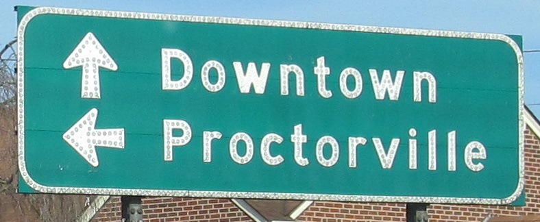
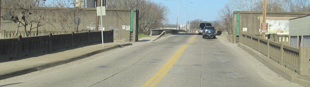
As far as WV 2 goes SB, meeting US 60 outside Huntington. US 60 WB goes straight and US 60 EB is two blocks to the left on 5th Ave., so turning left actually takes you onto just plain 31st St.
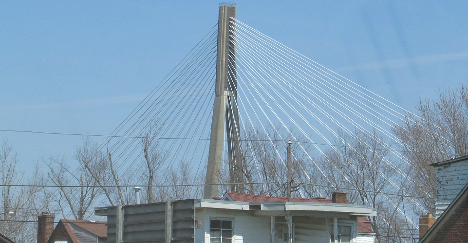
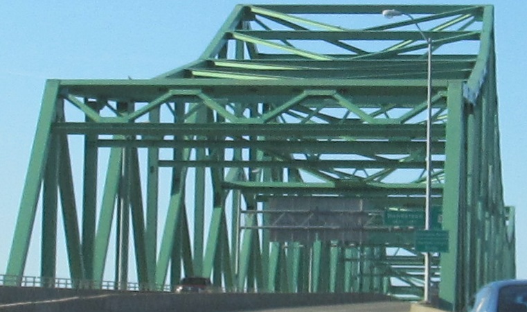
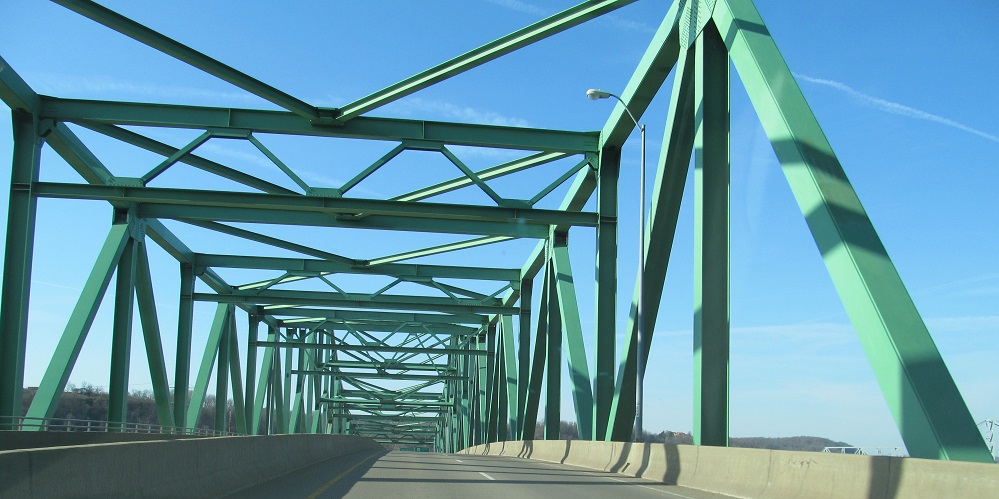
WV 2 NB then heads north across the Guyandotte River and under the East Huntington Bridge, which touches down at US 60 WB just a block from WV 2, but not touching. Instead of assigning secret WV 106 to the bridge, WVDOH could have routed WV 2 around onto it.
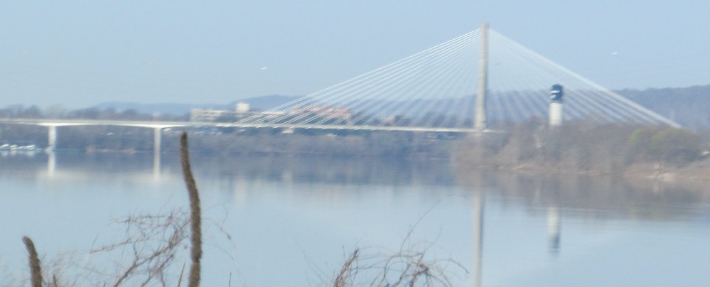
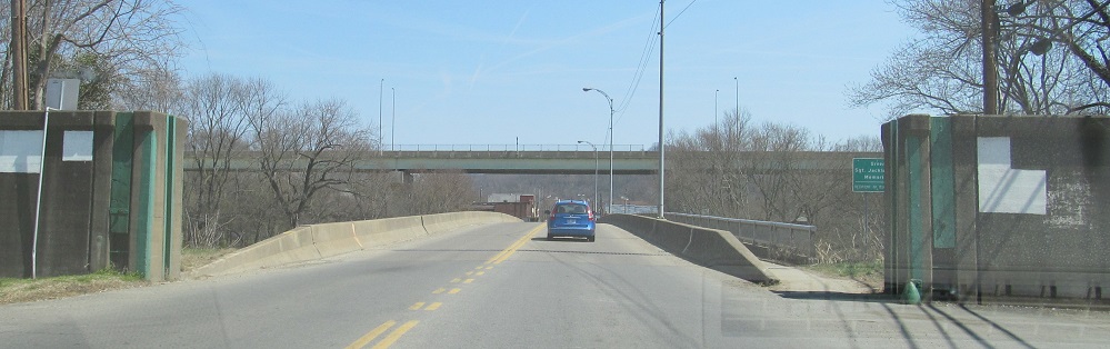
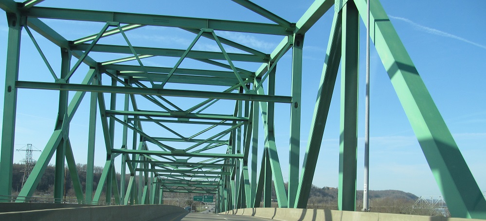
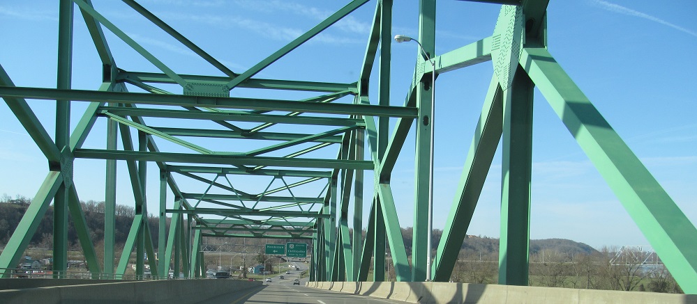
SB views of the same bridges. The second photo is on a bridge prior to the bridge, which is taking WV 2 up high enough to clear the levee and get to the river crossing.
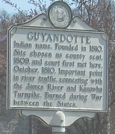
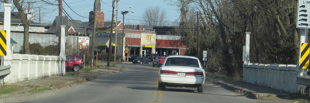
NB, still in Huntington, which absorbed this separate town in 1891.
SB.
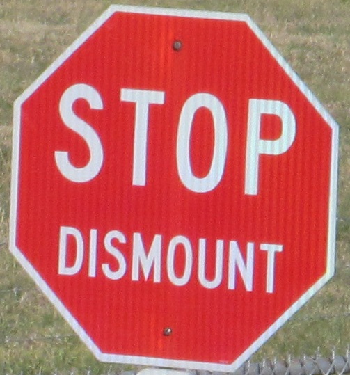
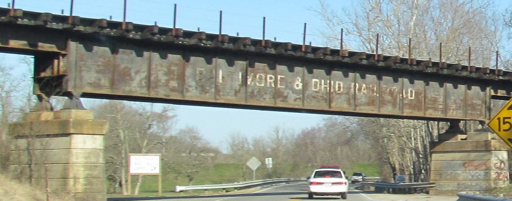
Whoa, horsey. Actually, this sign is for trains on a rail siding, but it's close enough to the road and the right shape to be amusing.
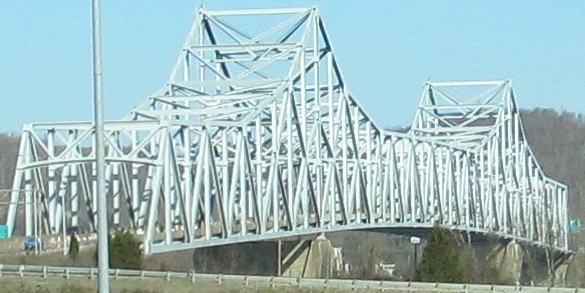
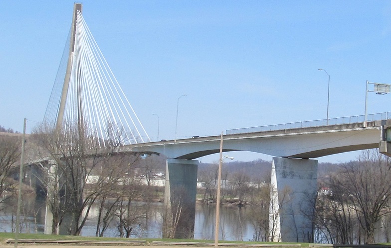
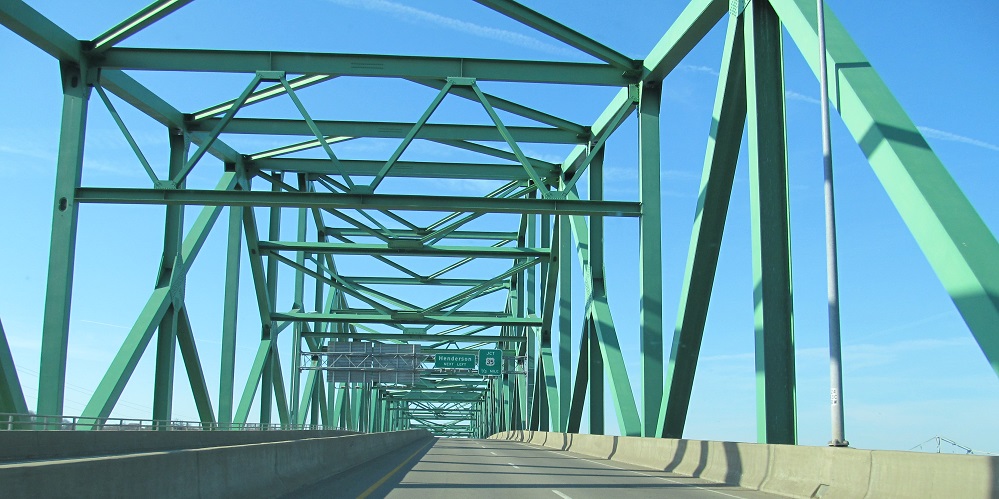
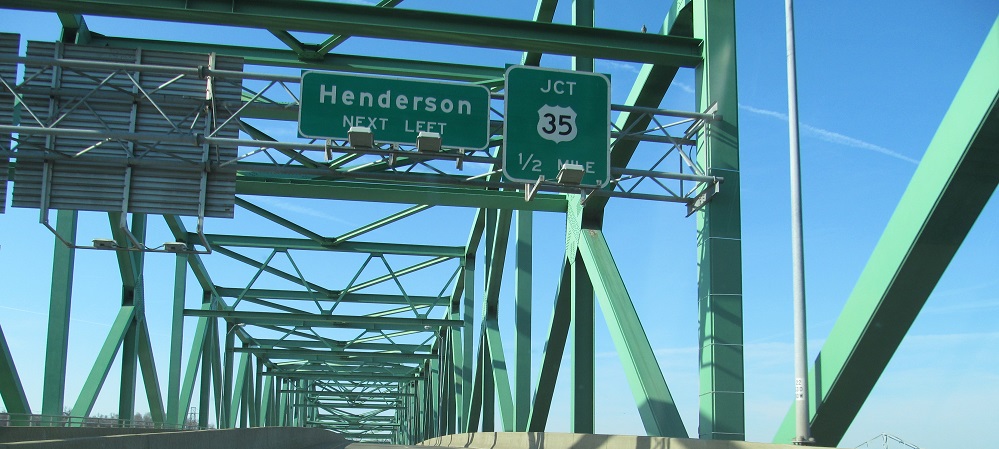
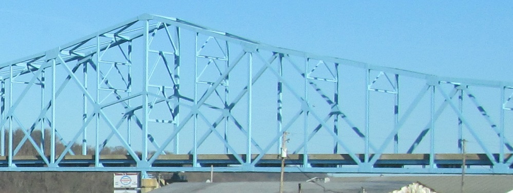
Looking north at the US 35 Silver Memorial Bridge, then photos from the NB loop ramp leading onto it. You can make out the parallel railroad bridge behind it in the first photo, a mile north next to the original Silver Bridge that collapsed and led to the second one being named "Memorial" and also painted silver.
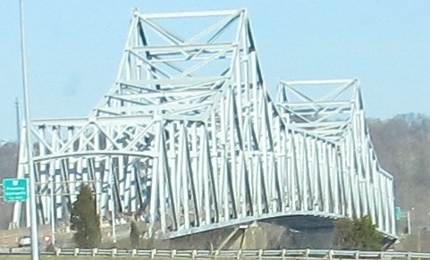
Southward views of the same.
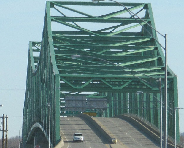
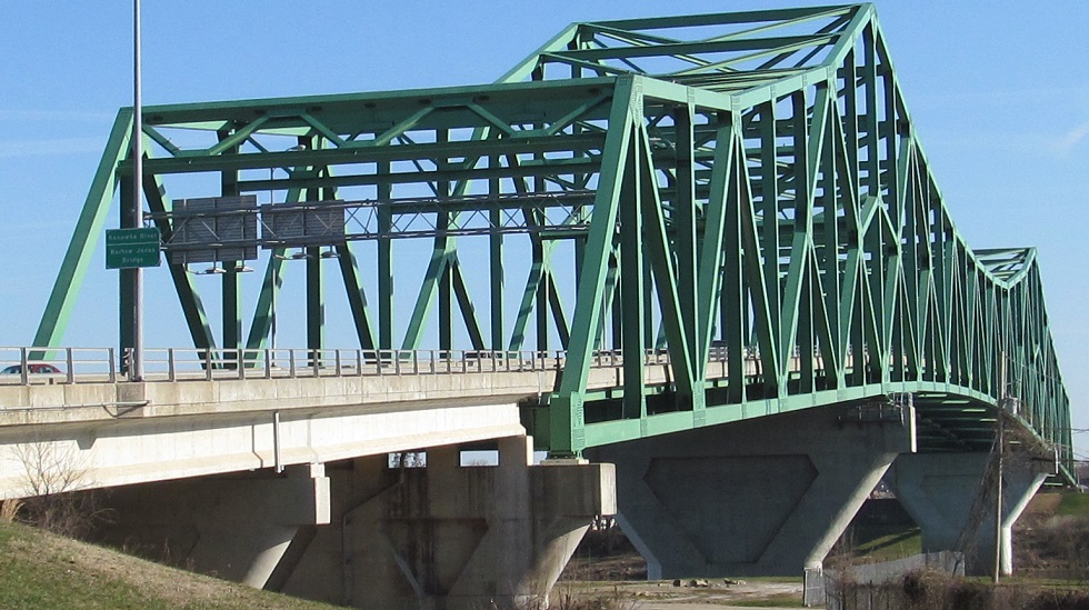
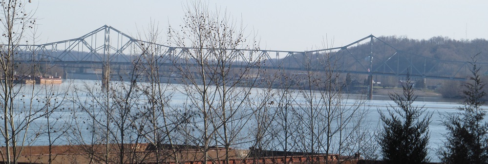
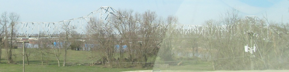
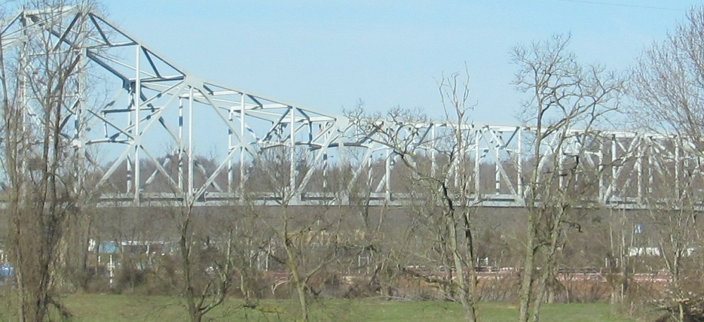
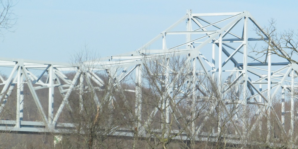
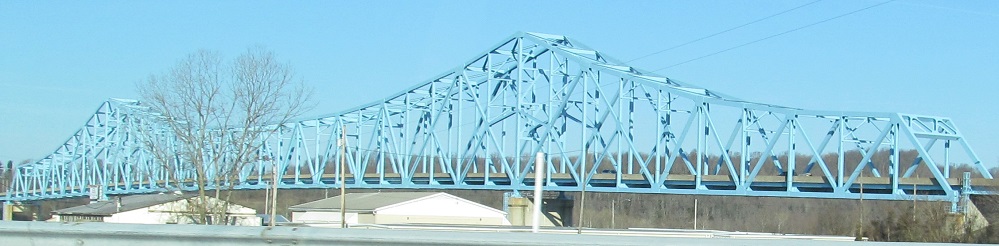
While we're staring at US 35, let's not miss that WV 2 has a cool bridge of its own. The Bartow Jones Bridge, seen from the south shore of the Kanawha River, is a relatively modern truss (1999), replacing the 1930 Shadle Bridge.
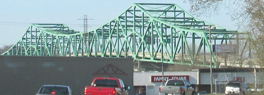
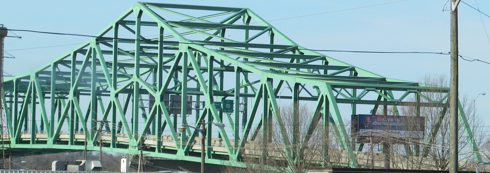
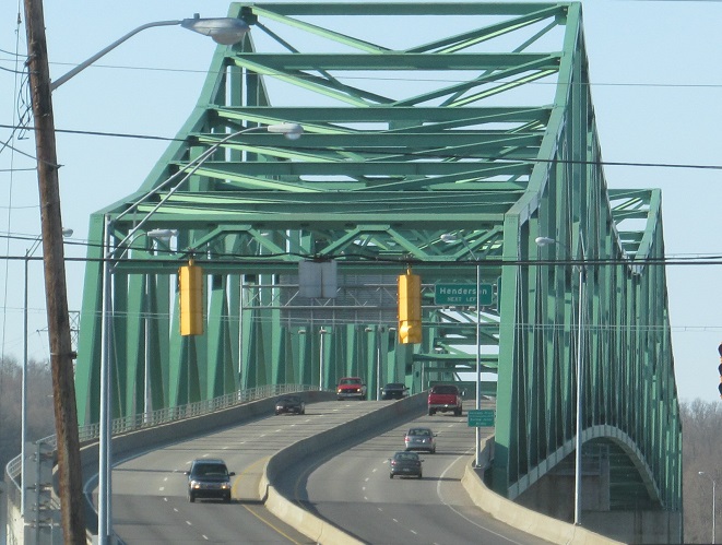
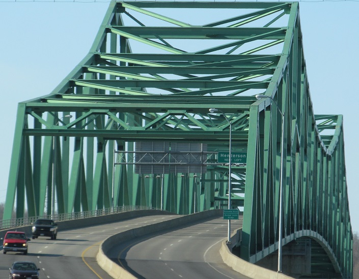
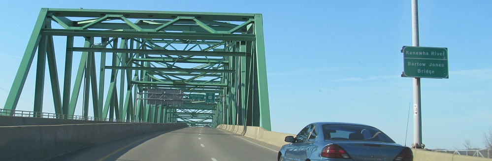
A southward jaunt over the Bartow Jones. See if you can spot the Silver Memorial Bridge in the background.
WV 62 NB leaves WV 2 on the east side of Point Pleasant (north side of the Bartow Jones Bridge) and heads west over a lowland on 6th St. WV 62 is candy-cane shaped and ends up returning to WV 2 in Mt. Alto after a long excursion along the Ohio River... and then heads east to Ripley after another concurrency. More on that later.
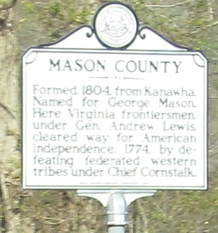
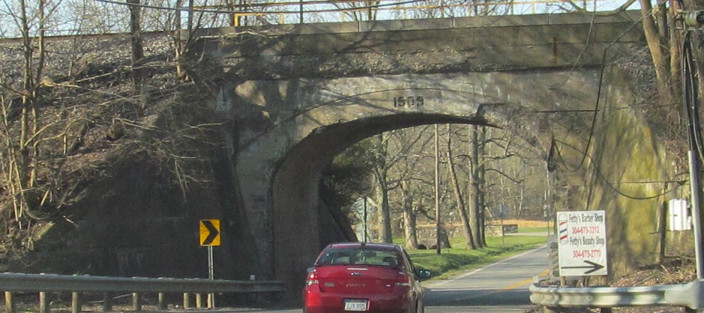
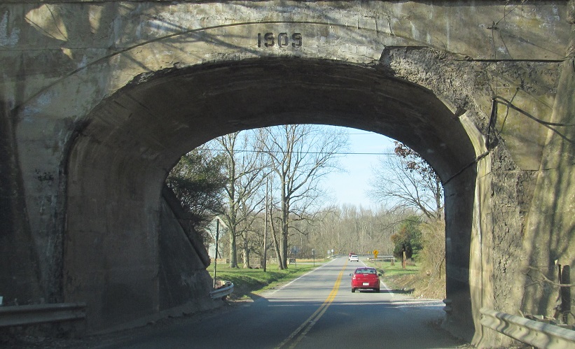
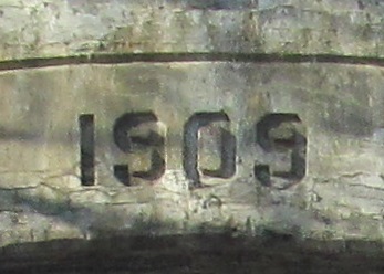
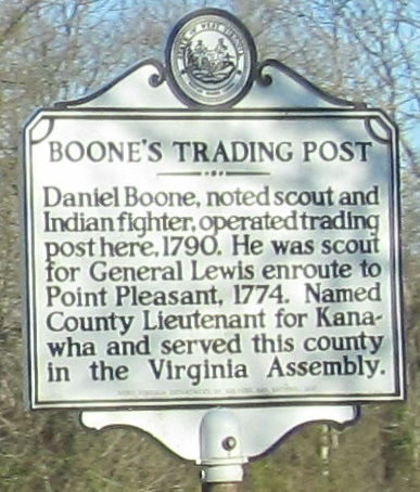
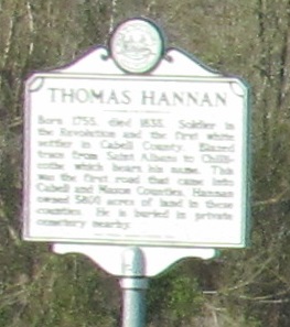
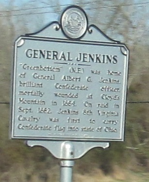
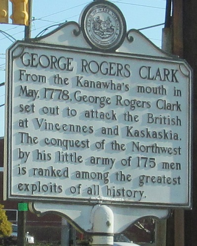
Mason County's the place to be for old rail bridges. In fact, the only remotely modern things pictured here (all southbound) are the historical signs, and those deal with topics much older than the other photos.
Just south of US 33 (see big link below), I can see the bridge it takes across the Ohio River. There are more photos on that page and the WV 68 page also linked below, since US 33 uses WV 68 to get from the bridge to WV 2 (and thence to I-77). Until 1981, US 33 crossed well downstream at the Pomeroy-Mason Toll Bridge and followed the eastern "candy cane" of what is now WV 62. This explains why WV 62 now has such a weird shape (and meets US 33 at I-77), although WV could have selected another number to follow the old path of US 33.
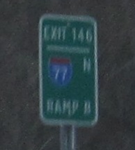
WV 2 NB drops off US 33 EB onto I-77 SB, and then hangs a left onto I-77 NB for a ride past Parkersburg. I have another name for Exit 146 Ramp B: WV 2. No love.
 I-77/WV 2 SB around Rockport.
Onto US 33 and WV 2/US 33
Continue north on WV 2
Back to WV 2 main page
WV 68, former WV 2
Onto US 60
Onto the East Huntington Bridge
Onto US 35
Onto I-77
Back to West Virginia Roads
Back to Roads