West Virginia Roads - US 60 - Charleston and E.
US 60, Charleston and east
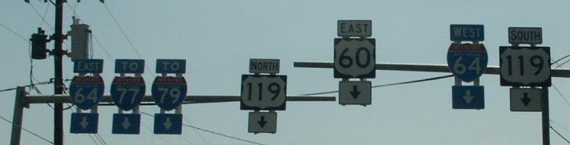
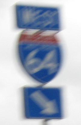
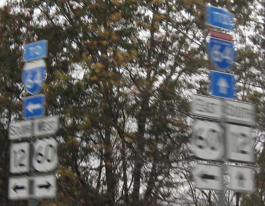
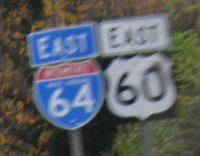
EB at I-64 Exit 58C in Charleston, just west of the I-64/I-77 junction. US 60 and I-64/I-77 (the West Virginia Turnpike) sit on opposite sides of the Kanawha River for over 10 miles southeast of Charleston.
The next five photos are courtesy Lou Corsaro (until the breakline).
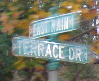
Looking south from US 60 WB across the Elk River, the EB side crosses the much more interesting Lee Street bridge. All the WB side gets is an older sign along Washington St.
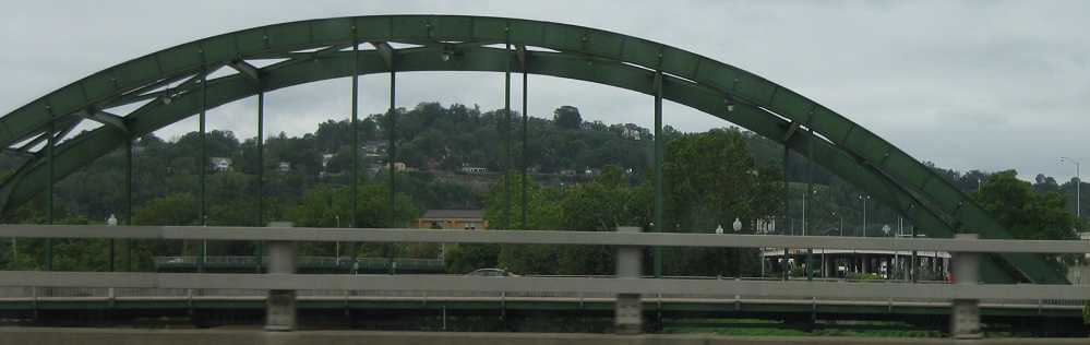
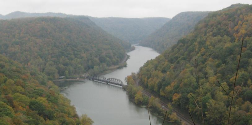
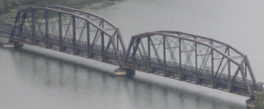
The Elk flows into the Kanawha River, which US 60 parallels for quite some distance to the east until it becomes New River at Gauley River. This, then, is the Chelyan Bridge across the Kanawha.
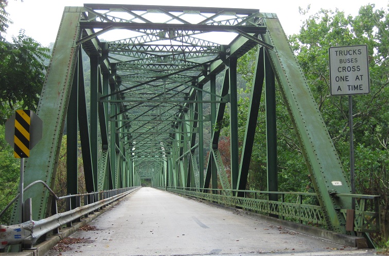
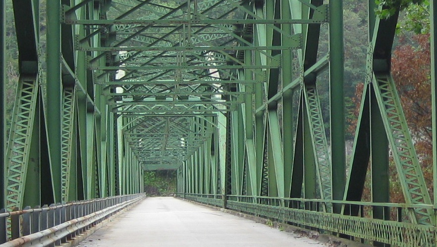
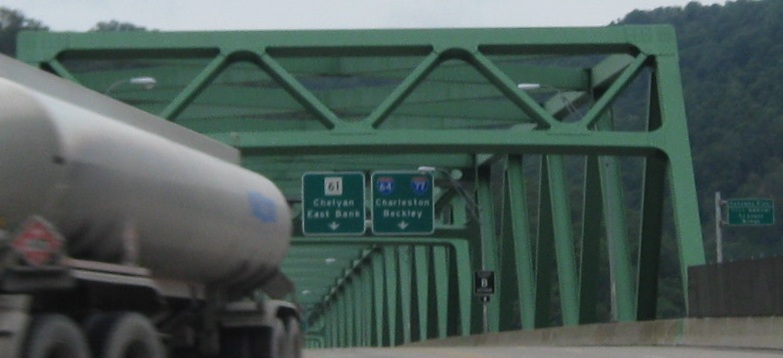
A little farther upstream, SR 13 crosses the river to get to the settlement of Kanawha Falls just west of the Gauley/New River confluence. The stop sign can't possibly be doing anything useful where it's located.
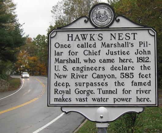
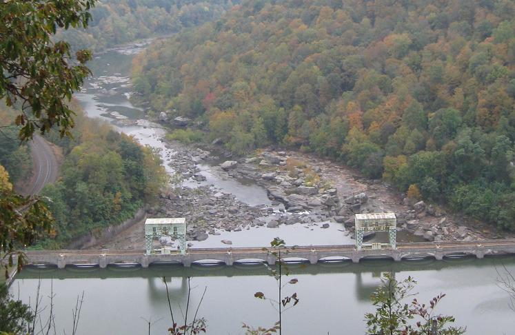
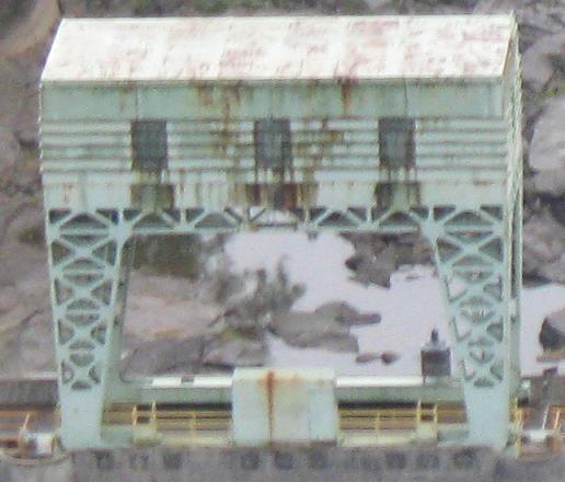
Looking west along the New River toward Gauley Junction Dam.
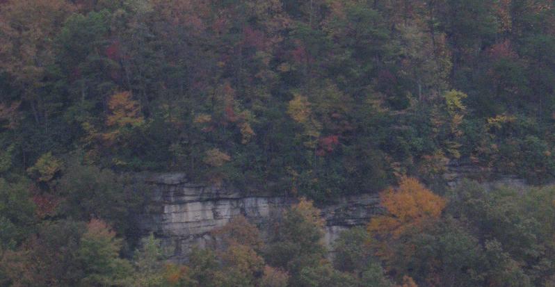
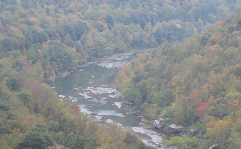
Panning over to the south. Bridge Day at the New River Gorge Bridge (US 19) is every October, so foliage is near peak.
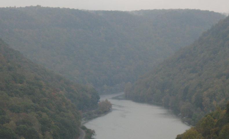
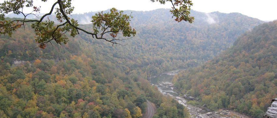
Now looking east, the direction of the Gorge.
Remaining photos are eastbound.
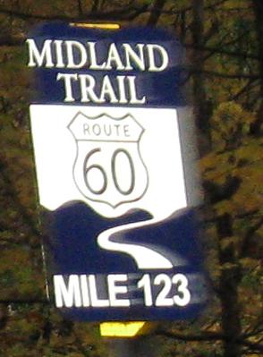
I could make a "your mom" joke, but the milemarker is enough of a joke already.
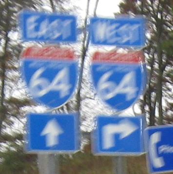
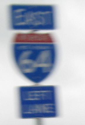
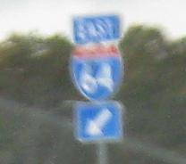
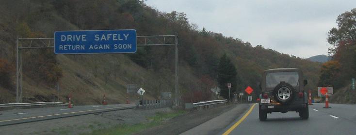
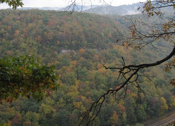
Sorry, it was rainy the day I was there. Photos go on up to the last sign in the state, shared with I-64. It's mounted on the other side for convenience (behind the welcome sign), but it would seem actually unsafe to drive right under that sign.
Back west on US 60
Back to US 60 main page
Into Virginia on US 60
Onto I-64
Onto US 119
To I-77
To I-79
Back to West Virginia Roads
Back to Roads