Washington Roads - US 101 - Hoquiam & S.
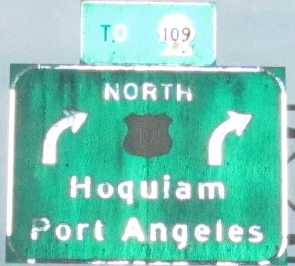
 Hoquiam and south
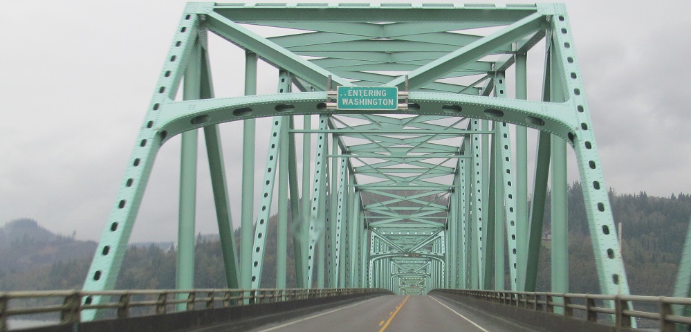
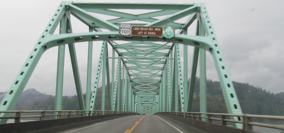
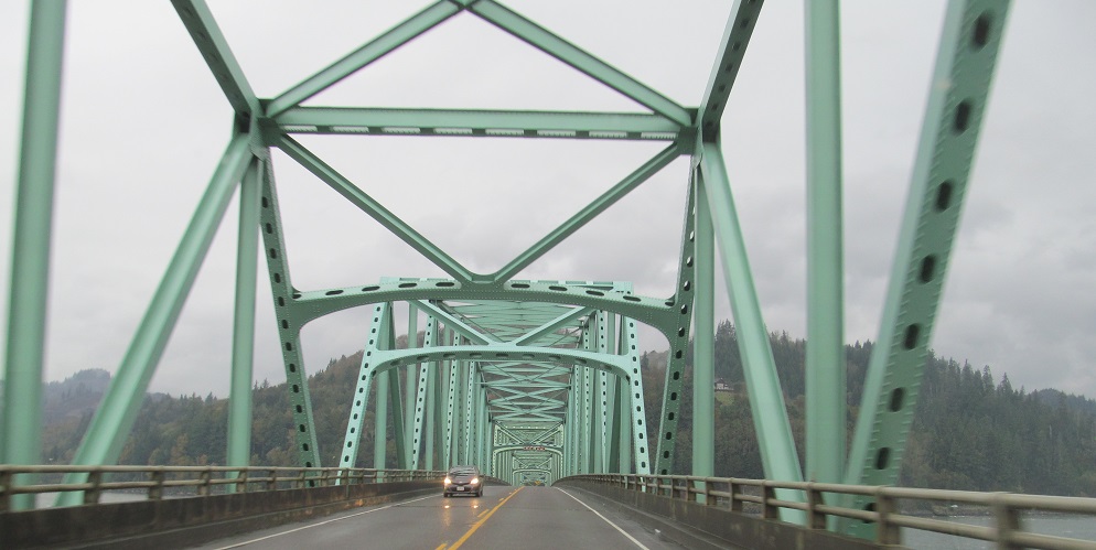
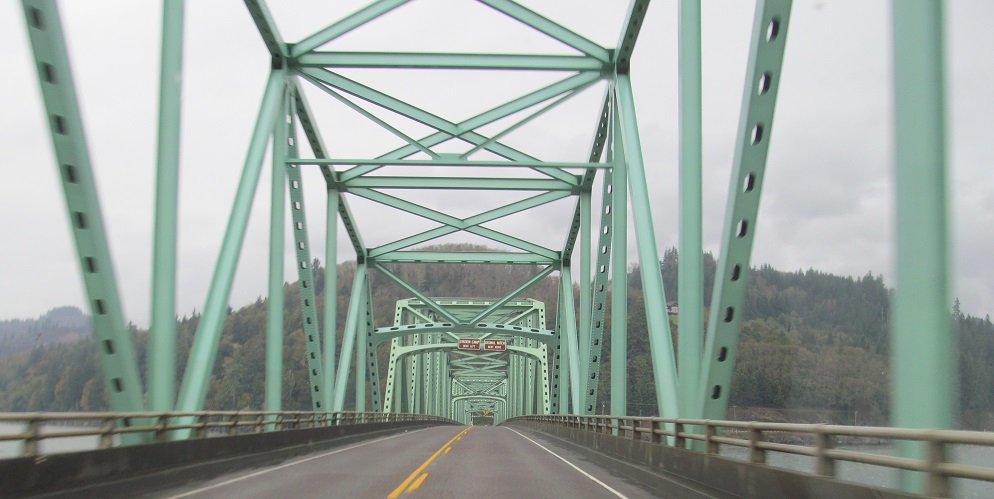
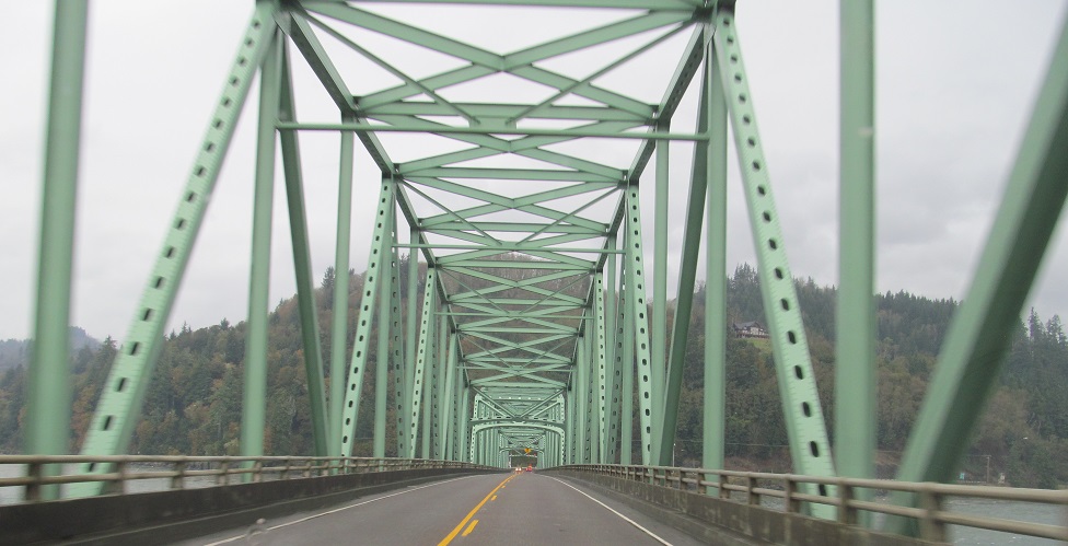
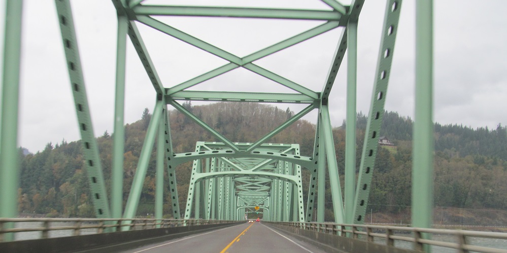
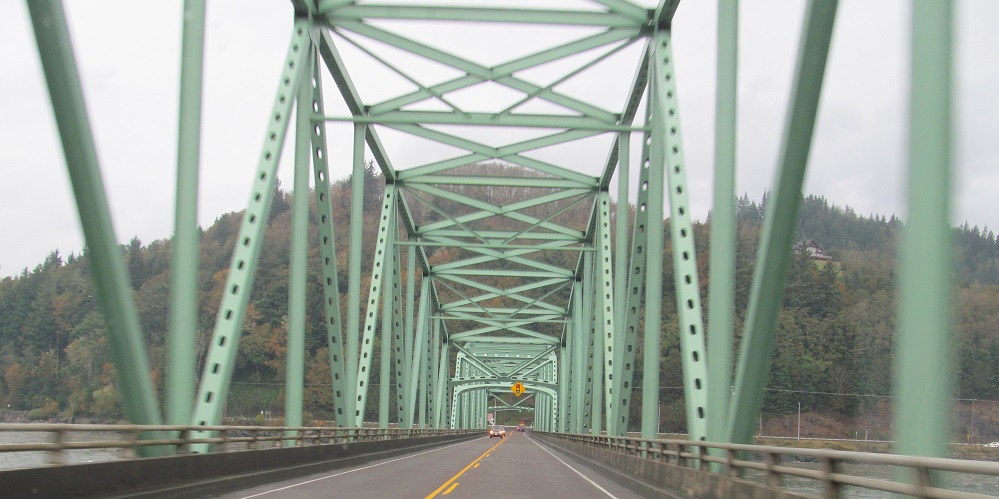
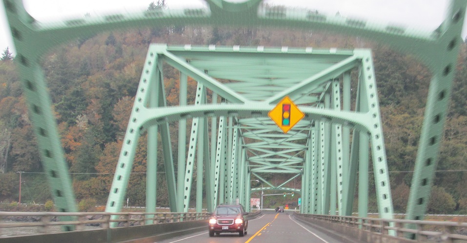
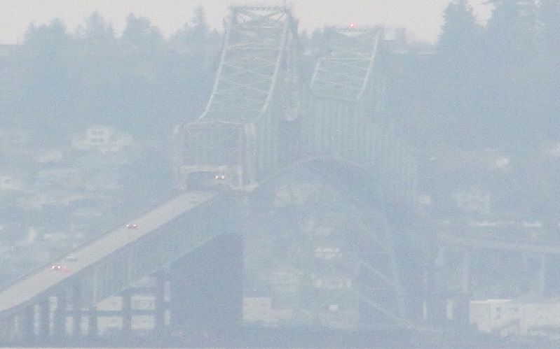
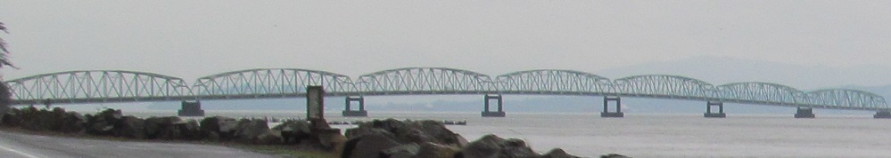
Most of the Columbia River is in Oregon, but there are several trusses at the north end of the Astoria-Megler Bridge that fall on Washington's side. Built in 1966, it's the longest continuous truss bridge in North America.
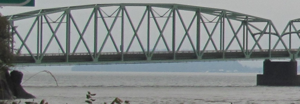
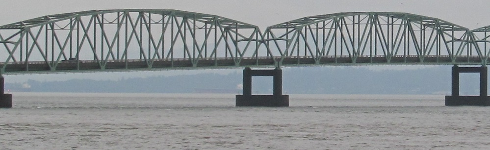
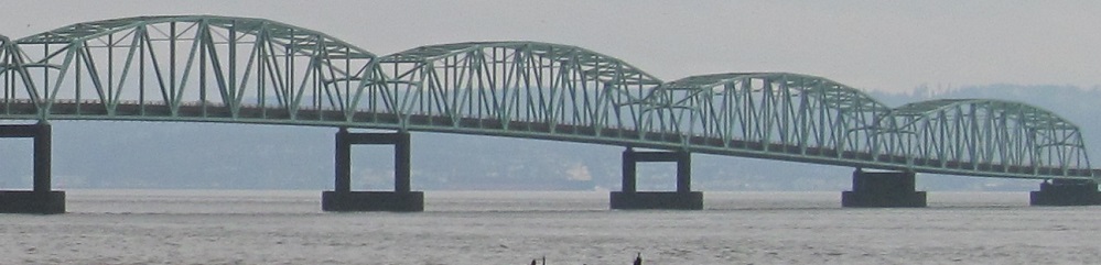
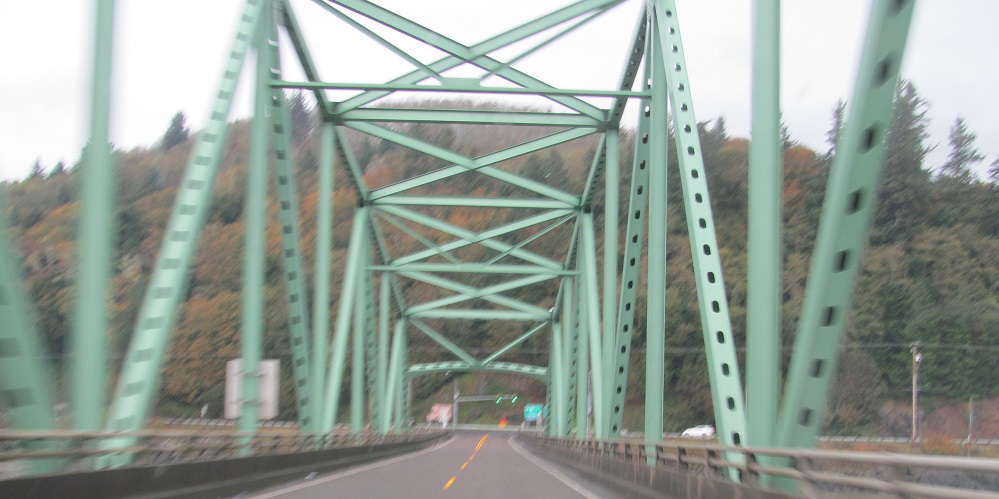
Views south from US 101 approaching the bridge, starting with the main span on the south side of the river. The bridge was tolled until the end of 1993 to pay for its construction.
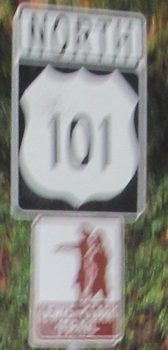
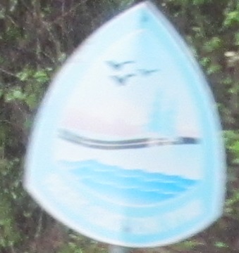
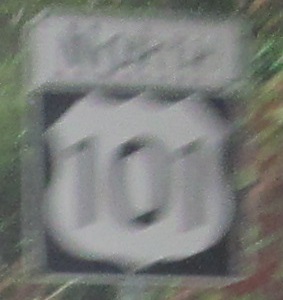
Fresh off the bridge, US 101 establishes itself as the Lewis and Clark Trail, the illegible Pacific Coast Scenic Byway, and a two-digit shield route in a three-digit body. It's intended to be the westernmost primary route, so it's de facto 2 digits anyway.
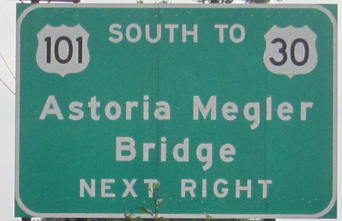
Even when referring to Oregon, can't help the narrow shield. I believe there should be a hyphen in the bridge name.
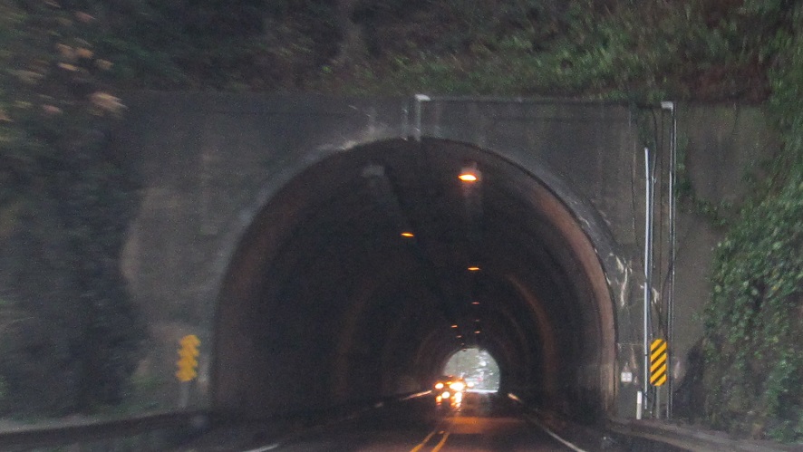
NB under Fort Columbia, built 1932.
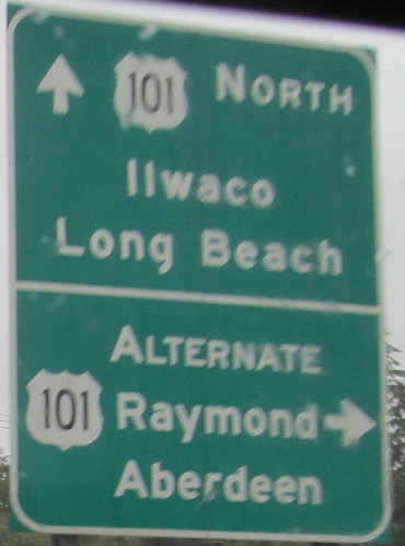
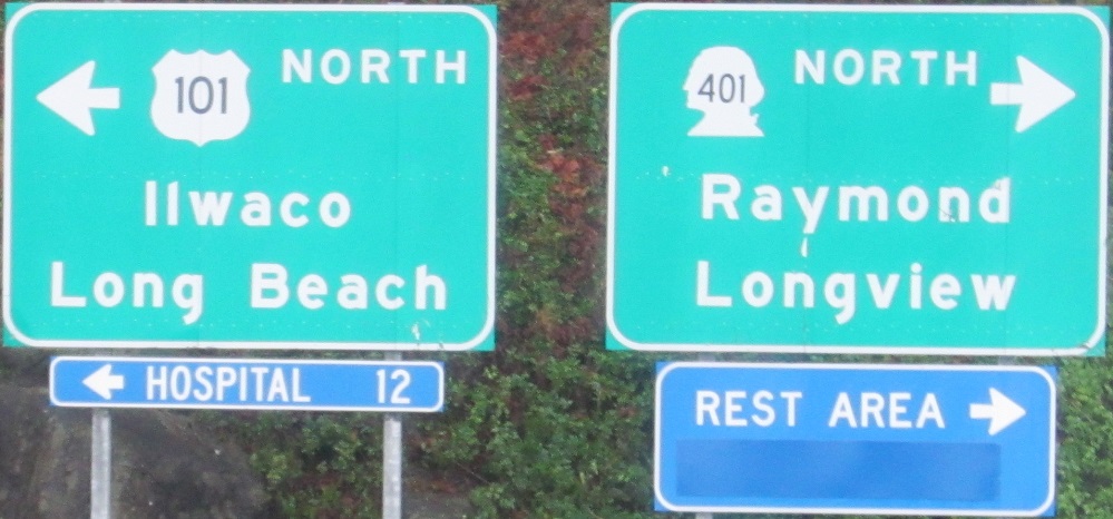
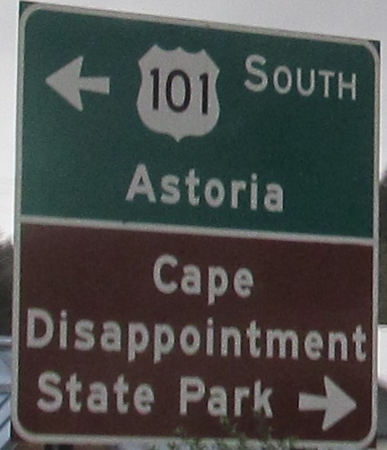
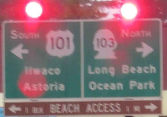
Alternate US 101 features destinations north on US 101, while regular US 101 has destinations along the coast. US 101 takes 6.3 miles to loop through Ilwaco to get to the same point that Alternate US 101 does in 3,200 feet. Meanwhile, had you turned onto WA 401 coming off the bridge and then west on WA 4, you'd get to Raymond 6 miles sooner than even Alt. US 101.
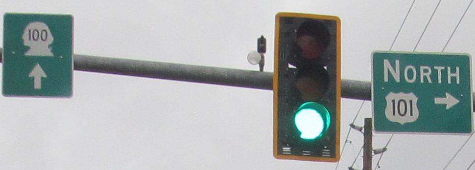
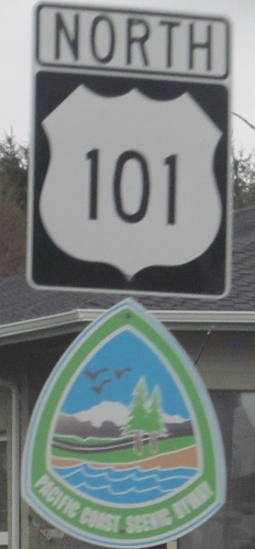
NB and SB at the beginning of WA 100 in Ilwaco, then brand-new byway shields in each direction from there. Now you can see what they look like for the first few days before fading.
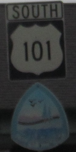
SB and NB narrow shields by dusk and dawn.
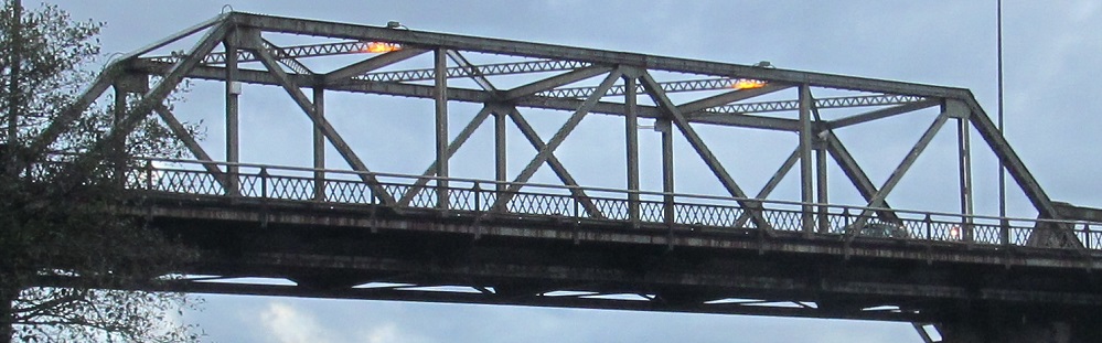
Across the Cosmopolis Waterway, dating to 1949.
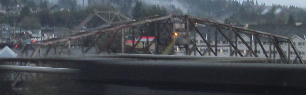
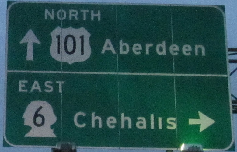
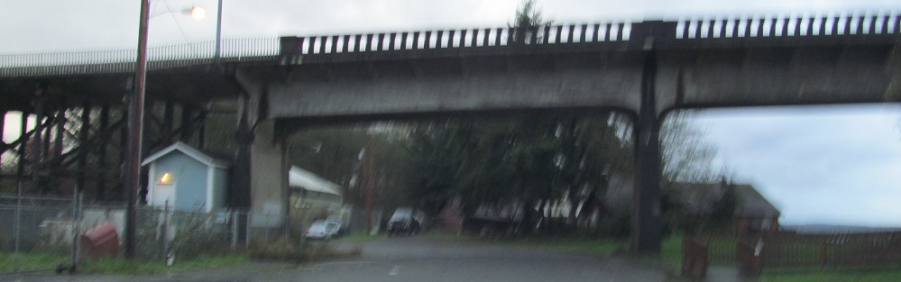
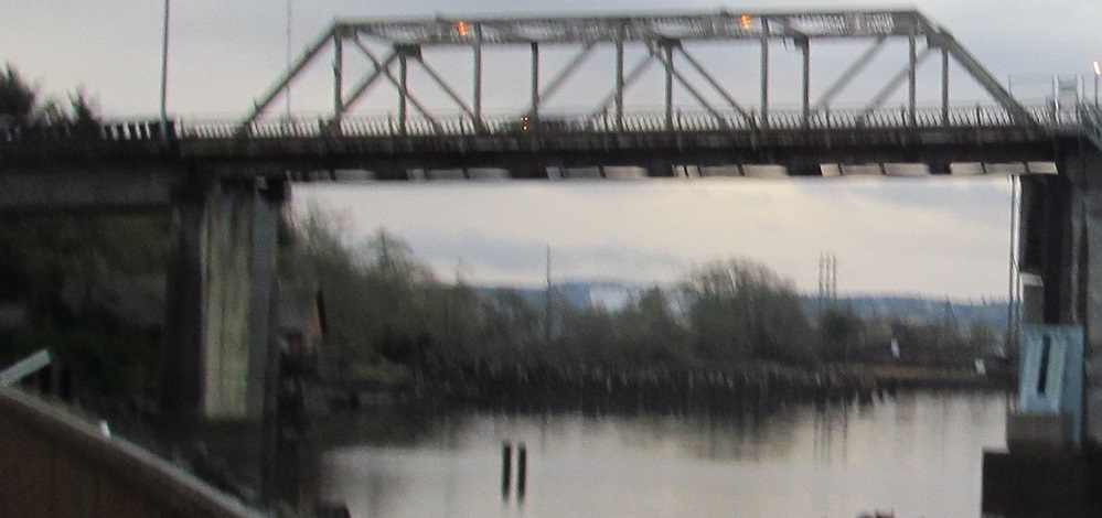
While I cross the Chehalis River in Aberdeen, I'm interested in the railroad bridge over the Wishkah River on the north side.
Past the end of US 12, these aging overheads keep you on route, unless you're a truck. Formerly unless you're a port truck, and perhaps once again with the greenout fading.
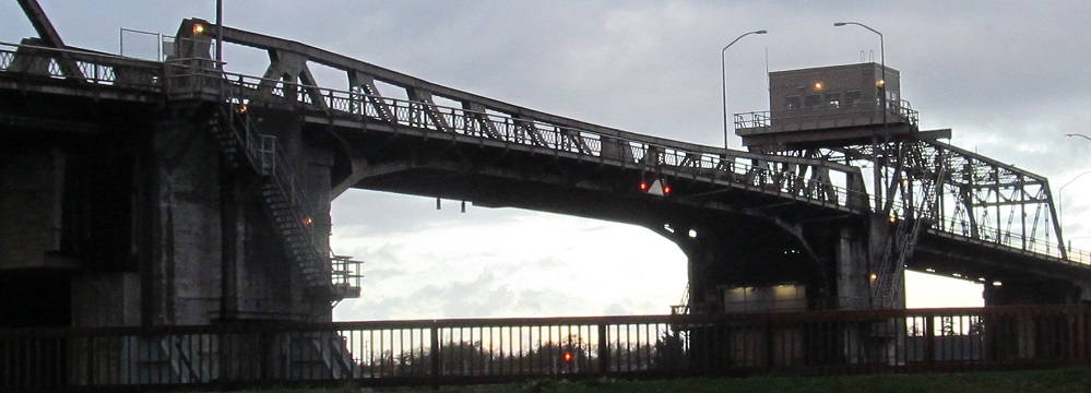
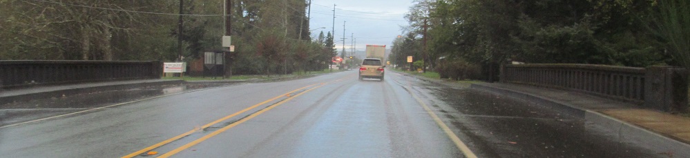
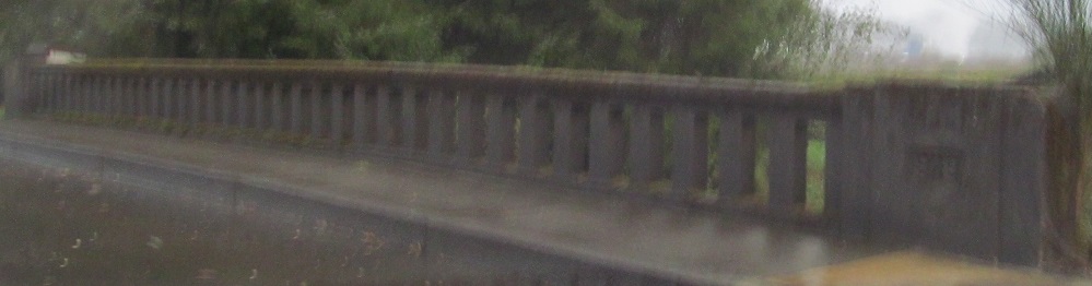
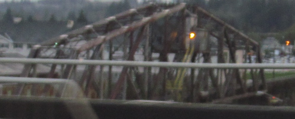
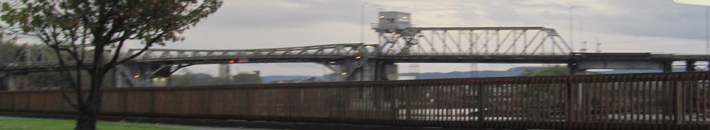
From east to west, but we'll call it south to north, this is the 1928 US 101 SB bridge over the Hoquiam River in Hoquiam. It's apparently an unusual design with the counterweight underneath its center bascule (meaning it swings up) span. It's also unusual in that the approaches still have wooden piers.
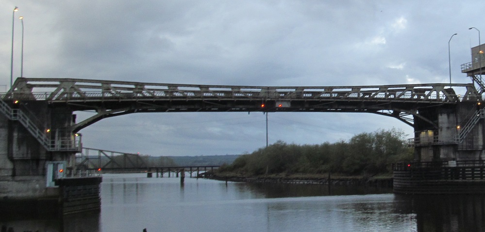
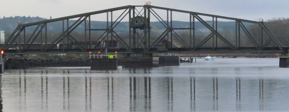
More views of the old span and the older 1908 railroad bridge to the south.
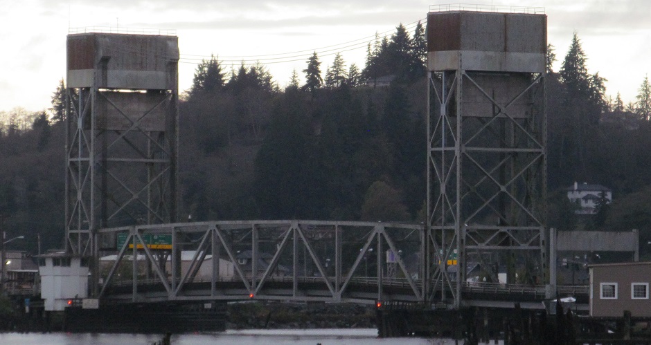
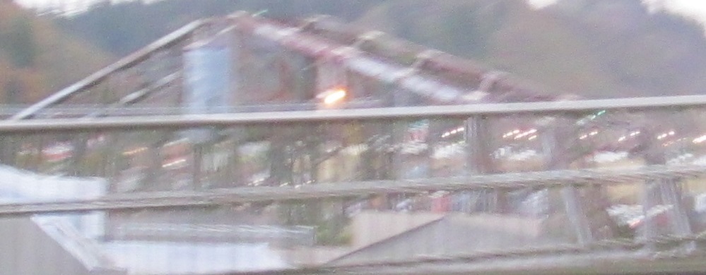
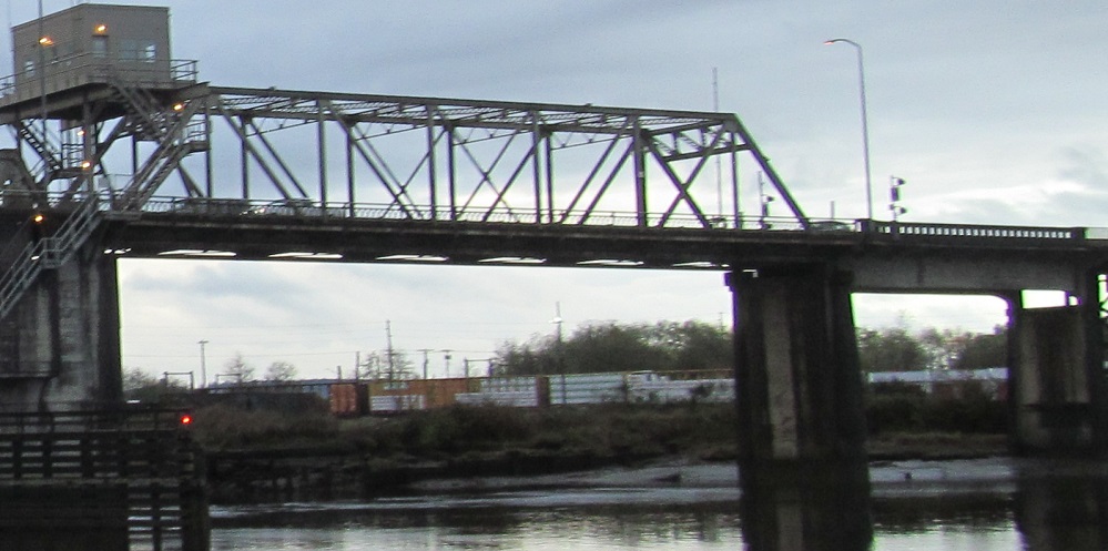
From there, I peek north around a couple of riverbends at the 1970 NB bridge that took two-way traffic off of this one.
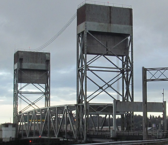
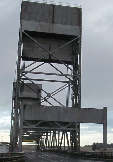
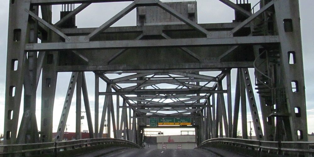
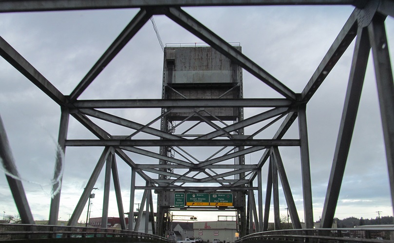
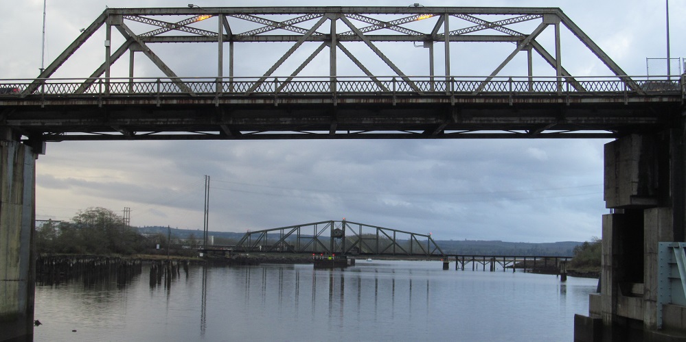
Back on US 101 NB, I take a look south at the SB span and then cross the newer one. Notice the spiral staircase on the right for climbing to the top of the southern tower and, in the last photo, the corresponding spiral on the left.
Continue north on US 101
Onto Alternate US 101
Back to US 101 main page
Into Oregon on US 101
Onto WA 100
Onto WA 103
Back to Washington Roads
Back to Roads