Washington Roads - US 101 - N. of Hoquiam-Port Angeles
 north of Hoquiam to Port Angeles
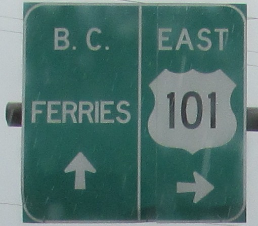
All but two photos are northbound into eastbound.
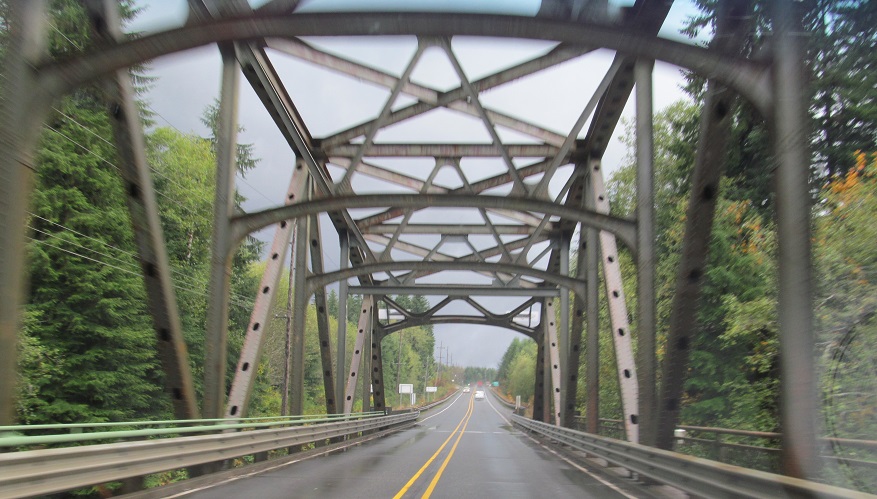
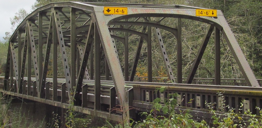
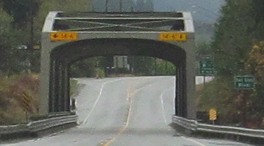
Entering Humptulips, I cross (first a small rivulet and then) the Humptulips River, and look for more excuses to type Humptulips. The Humptulips River bridge dates to 1950.
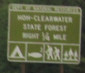
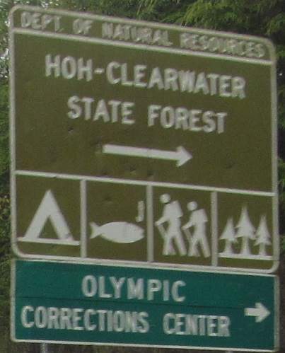
Hoh? Whot is thos? Actually, Hoh is the name of a rainforest.
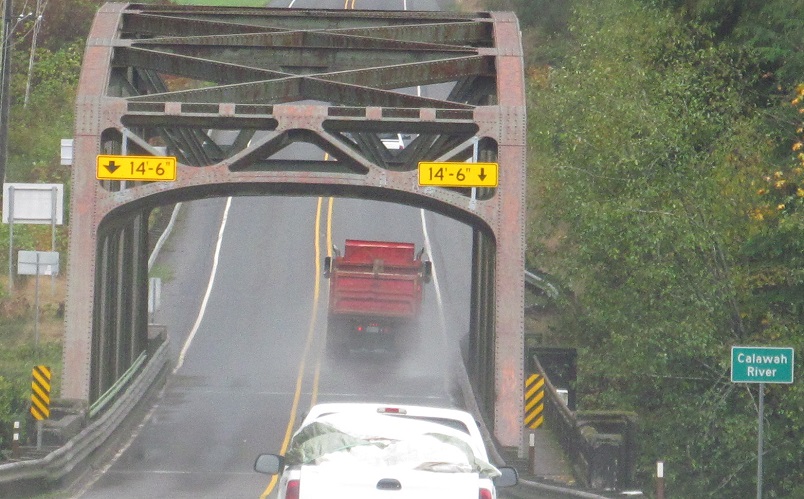
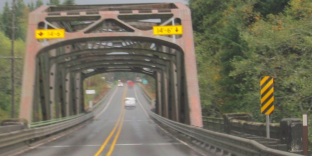
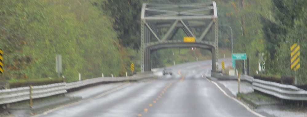
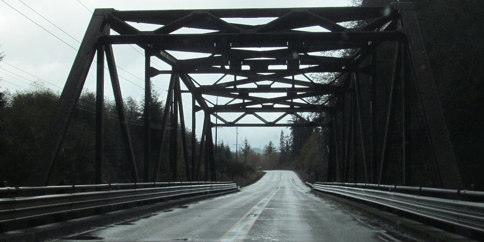
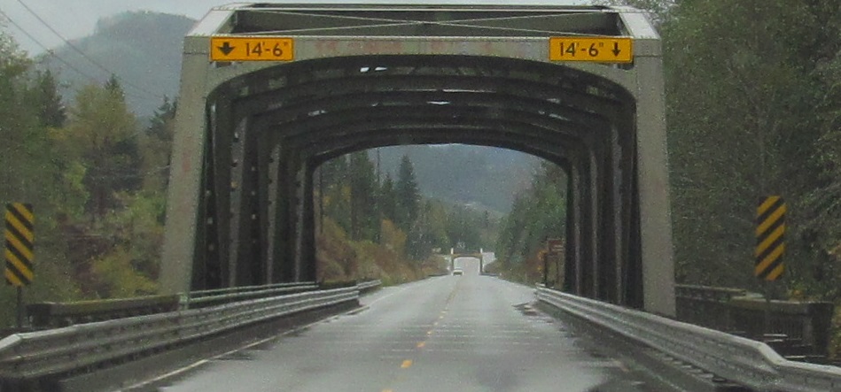
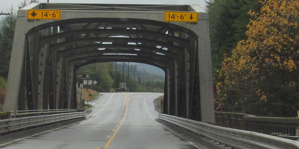
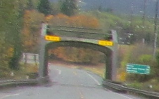
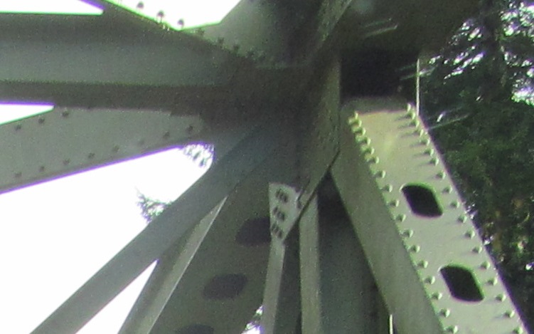
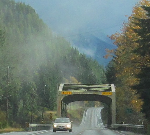
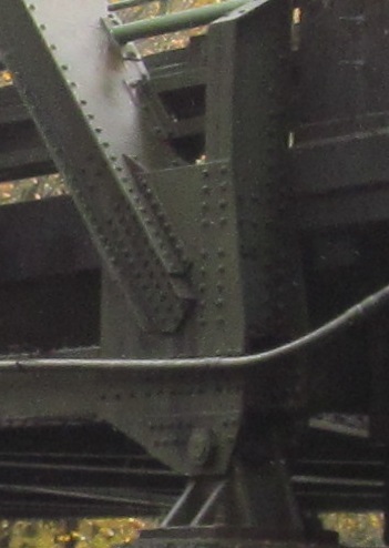
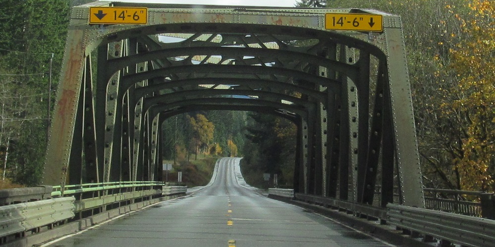
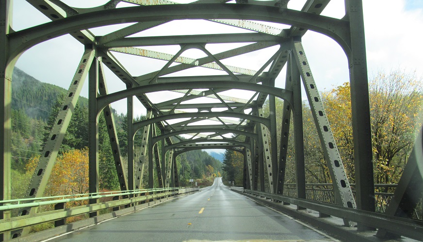
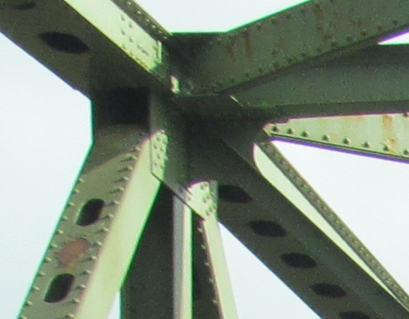
You can see this one is the Calawah River, leaving Forks, and this 1938 truss marks the start of a really annoying practice: wide arrow on the left clearance, narrow one on the right. It's too consistent to be an error, so the design standard itself is the error.
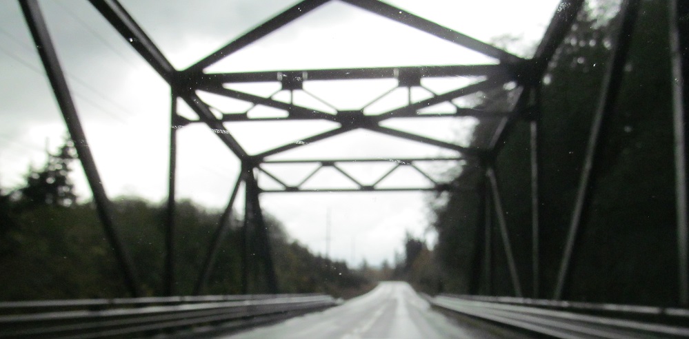
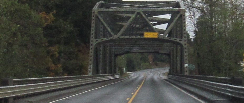
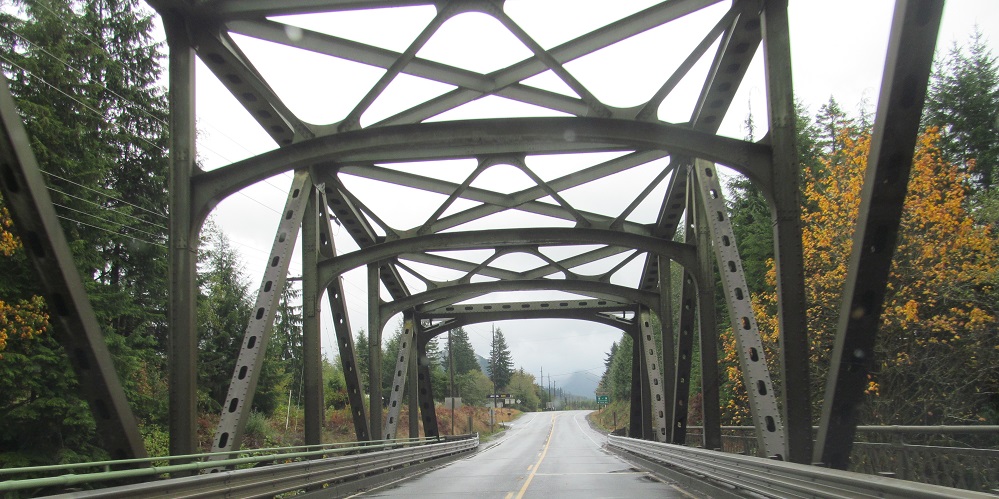
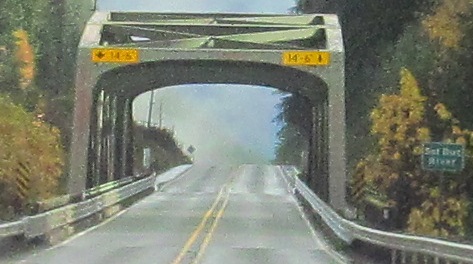
No such issue across the Sol Duc River. This time.
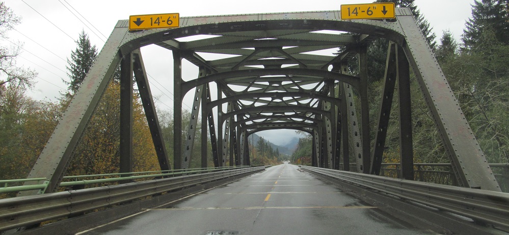
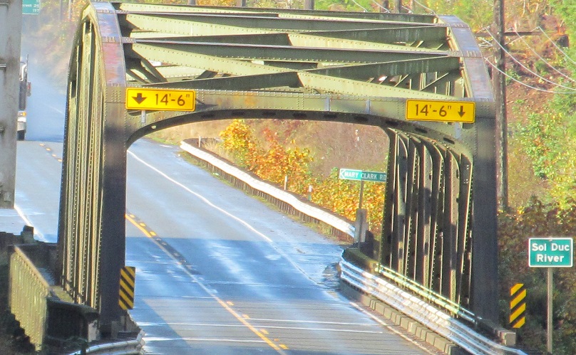
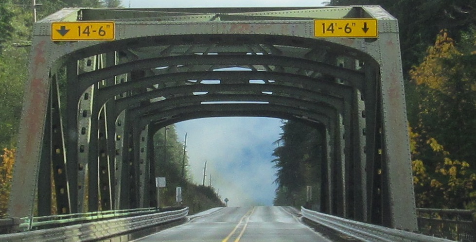
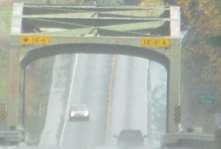
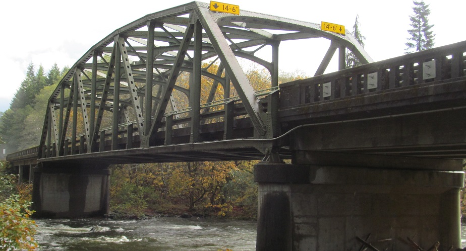
Just to make sure, let's cross it two more times nearing Sappho, and sure enough, the error pops up again. It appears that the original highway stayed on the north bank of the river. Some politician or engineer decided the road should be straight and that was worth building truss bridges instead of just widening the existing alignment.
Southward looks at those two bridges.
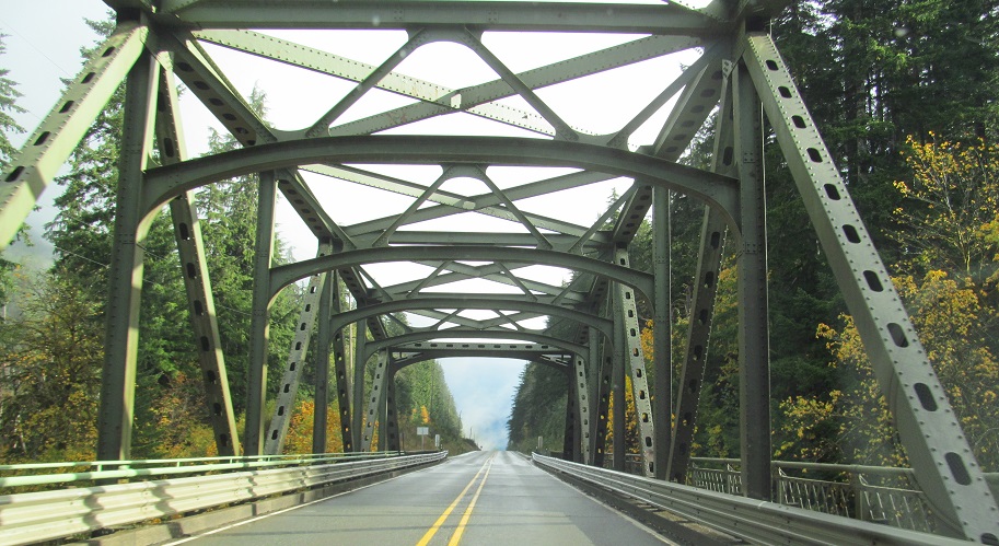
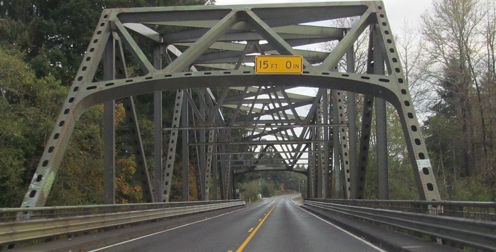
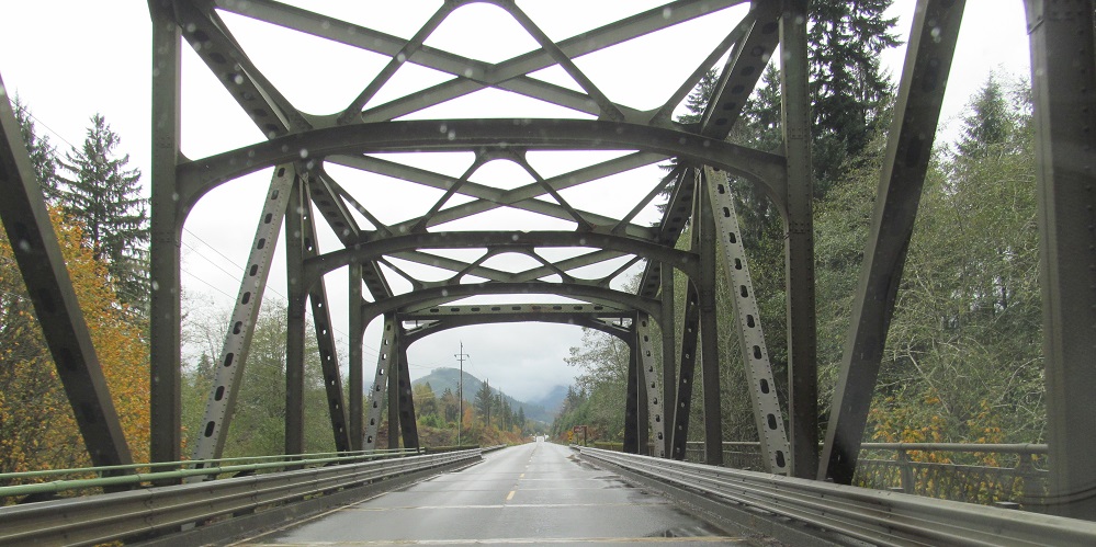
US 101 has officially turned east. To celebrate, let's cross... the Sol Duc River. Again. With the arrows.
In fact, let's cross it twice in a row, for a second time ignoring an earlier alignment (Snider Rd.) that crossed zero times.
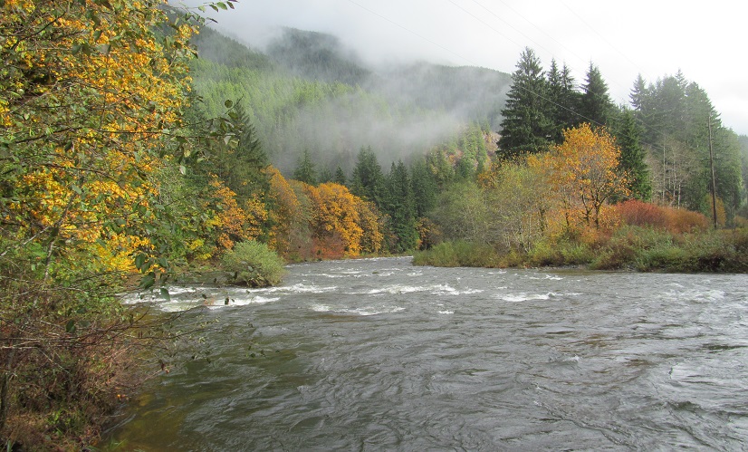
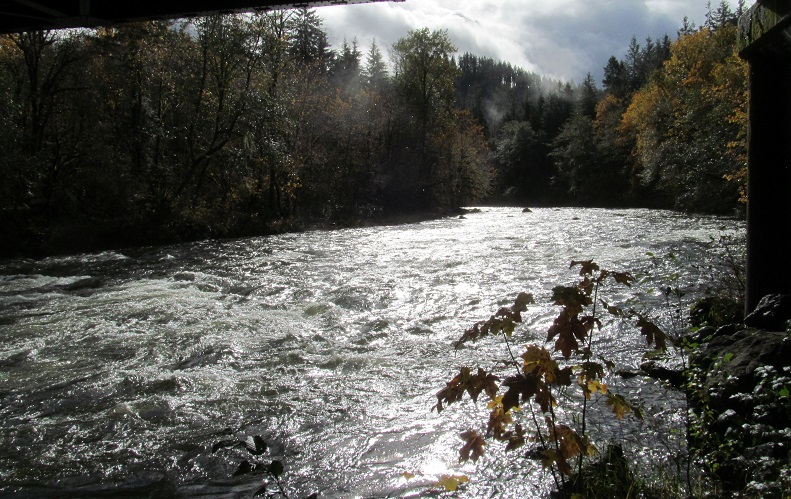
No amount of beautiful truss can compare to nature, so before I cross it for the last time, take a breath and look north and south along the river.
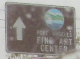
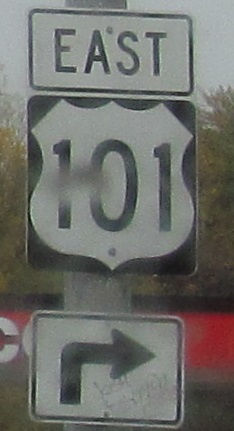
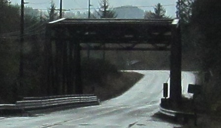
Continuing on to Port Angeles, the last sign is on the gantry support of the previous one.
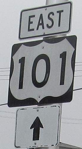
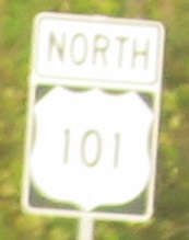
Another "chipmunk" shield. At this point, I'd rather just see the narrow ones.
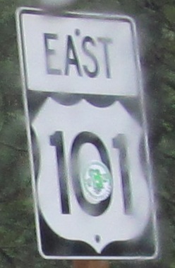
Continue east on US 101
Back south on US 101
Back to US 101 main page
Back to Washington Roads
Back to Roads