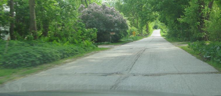
Vermont Roads - VT 7A - S. of Manchester
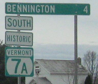
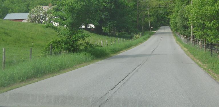
VT 7A south of Manchester
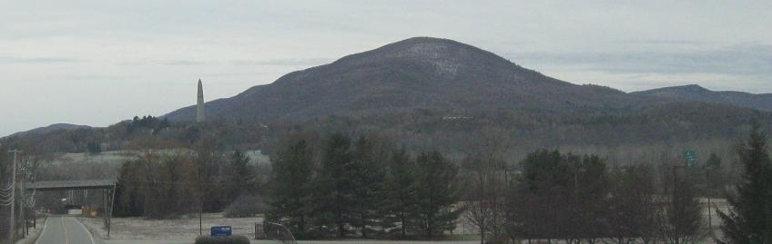
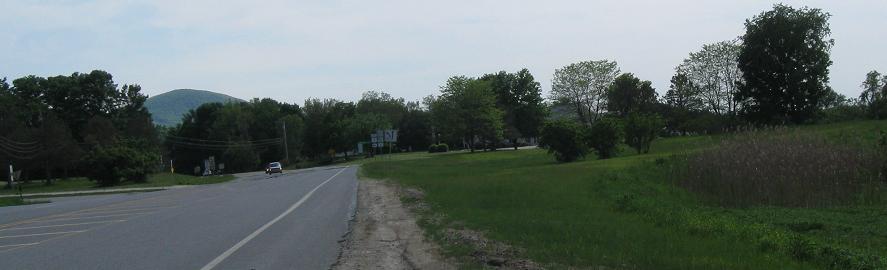
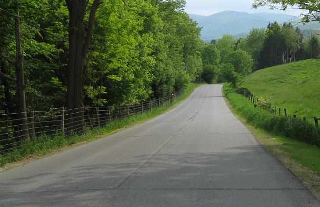
Heading south from VT 67 in South Shaftsbury to Bennington, with Mt. Anthony tall in the west.
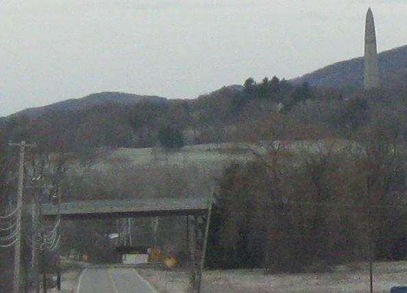
A closer view of the Bennington Battle Monument, over 300 feet tall, dating to the 19th century, and affording visitors panoramic views from the top.
Once SB at the trumpet interchange from US 7 (Exit 2), courtesy John Krakoff. This sign was removed when the jughandle was removed.
Here is the old path of the jughandle, still very driveable.
Original signage on the US 7 Exit 2 onramp. The steel gantry pole is an original style rarely found now in any state.
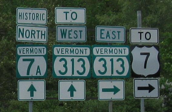
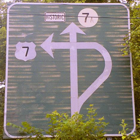
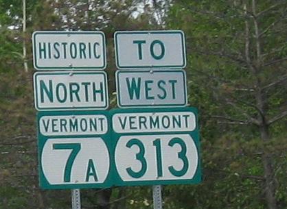
Not quite. "TO" is for trailblazing the way toward a route. That only works when you're not on the route itself. So get rid of that sign.
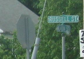
WB/NB along the VT 313 concurrency, again repeating the TO error. Russell St. leads to old US 7 (see big link at bottom).
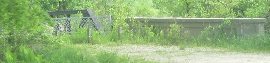
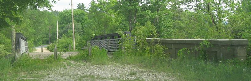
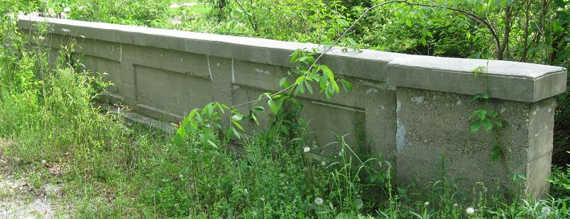
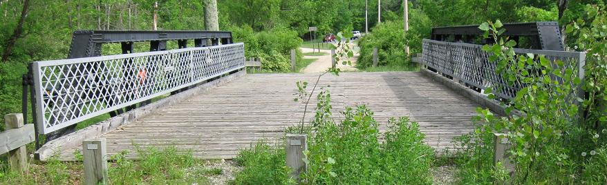
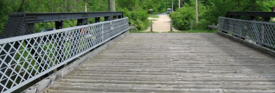
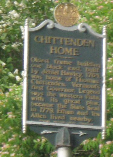
This old VT 7A (and original US 7) bridge is off of Tory Lane. Here you see it SB, leading back into VT 7A.
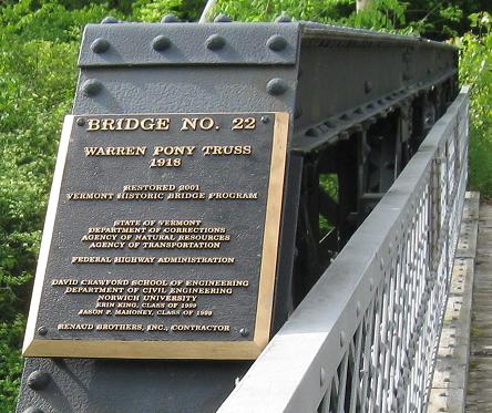
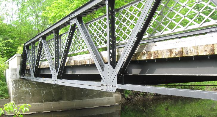
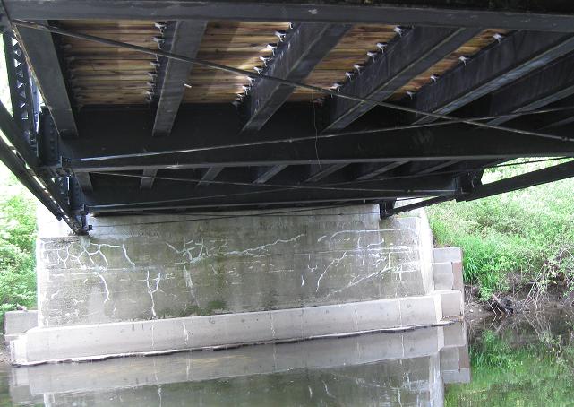
More views of the historic bridge.
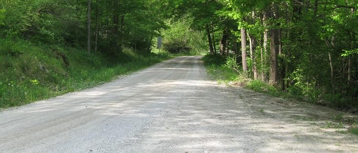
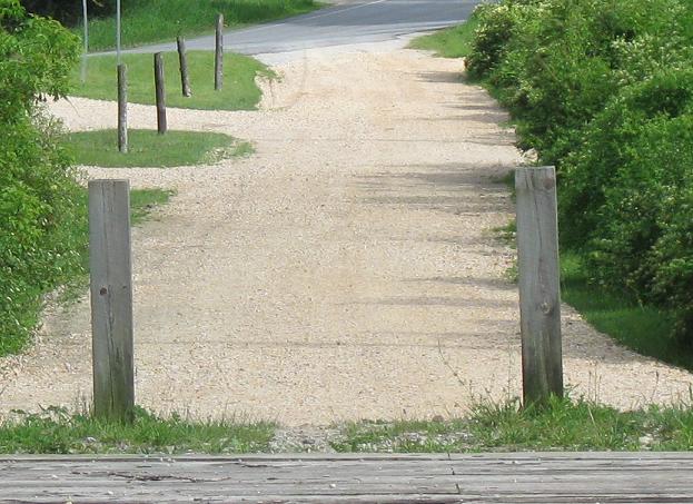
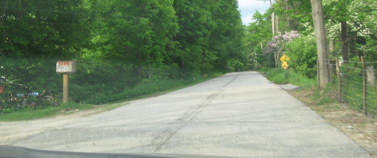
Back out Tory Lane, which here is original US 7.
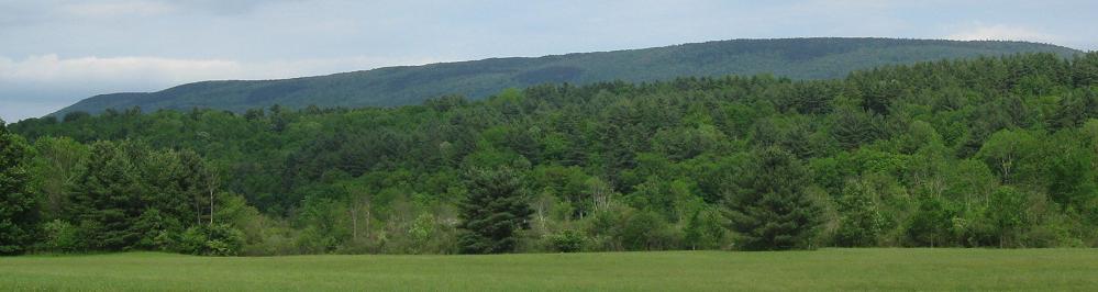
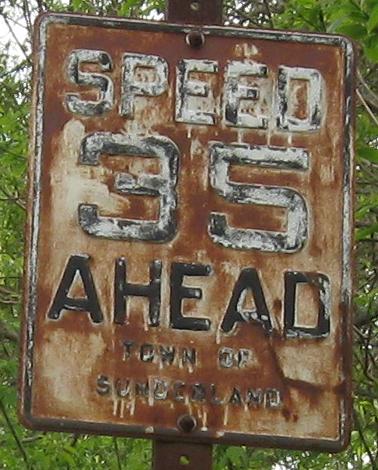
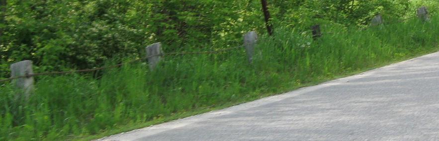
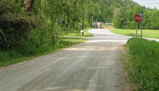
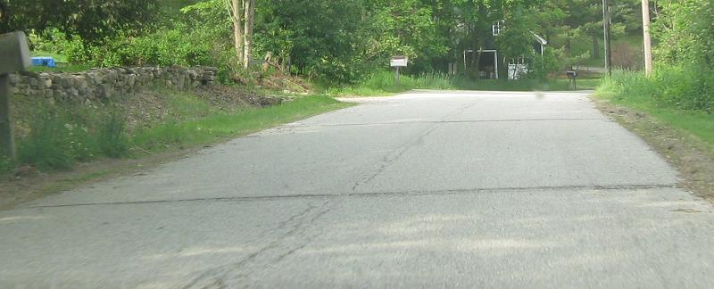
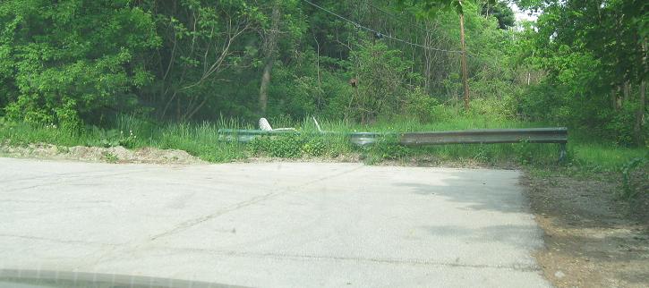
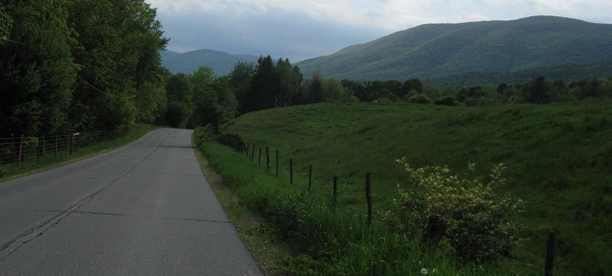
North past some mountains to Hill Farm Rd. in Sunderland. The speed limit sign is EB and the old guiderail is on the WB side.

North up another original US 7 alignment, Lathrop Lane. The sign is embossed, the road bed is still concrete (likely original to when the road was paved), and original stone property walls still abut the road. The power lines even still follow the trail through the woods.
Back south on Lathrop Lane and into the scenery again.
Continue north on VT 7A
Back to VT 7A main page
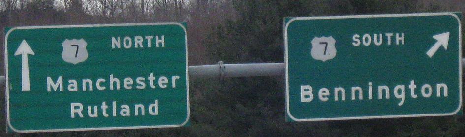
Onto modern US 7
Into Arlington
Onto VT 313
Back to Vermont Roads
Back to Roads