Vermont Roads - VT 73


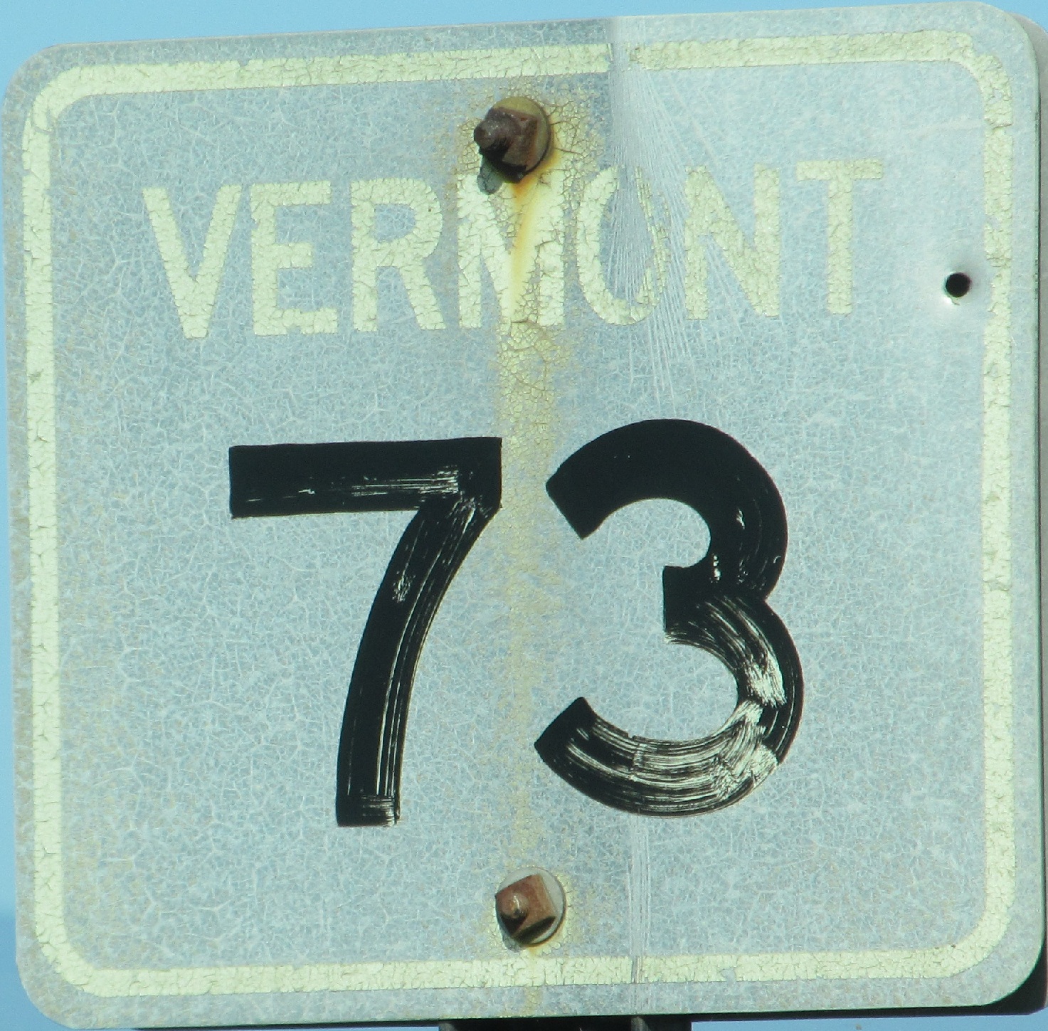
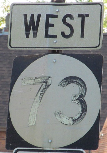
If Ben and Jerry were roadgeeks, this would be the cover of their ice cream pints. There are a few of these old square shields on the route, the earliest generation that you can still find in the wild. If you only like signs, click for a closeup and realize your life can be more fulfilling.
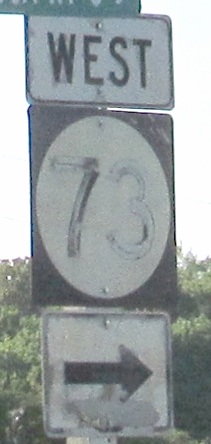

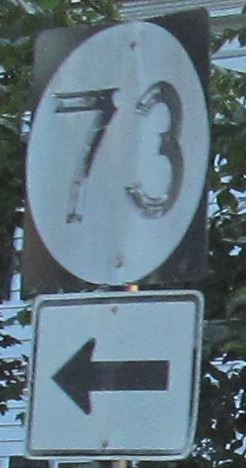
WB up to Hemenway Hill Rd. The circle shields don't age as well as the older squares.
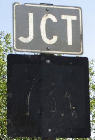

The intervening generation of larger square shields ages worst of all. You can barely make out that this is VT 73A, but that's okay because 73A has been decommissioned to a town road, Mt. Independence Rd. The LGS in the last photo shows that VT 73 itself is also town-maintained, so it didn't take much to decommission it.

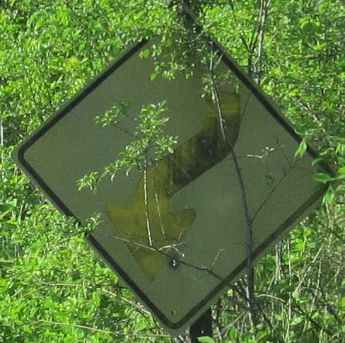
This is the first photo of a Vermont historic reference sign where I noticed the arrow at the bottom of the sign. Turns out it's actually a common element, but I'm not going through my Vermont photo inventory to check just how common.


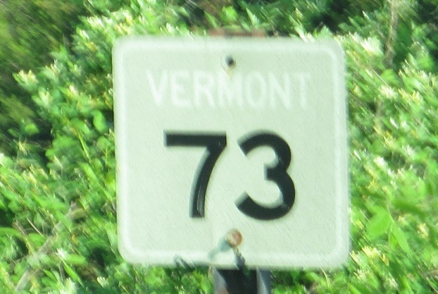
Sudbury Congregational Church, on VT 73/VT 30 at Huff Pond Rd., and heading east on VT 73 alone.

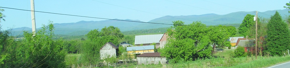
EB in Brandon, birthplace of Stephen A. Douglas.
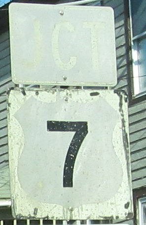
 Leaving US 7.

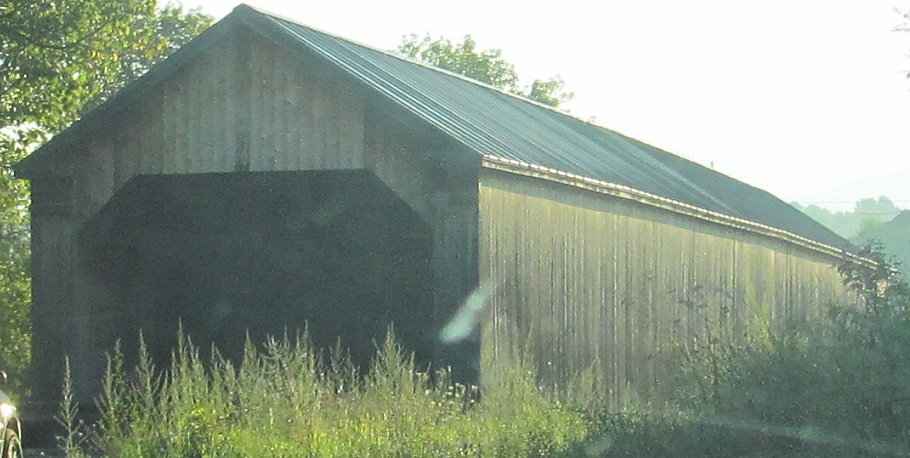
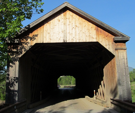
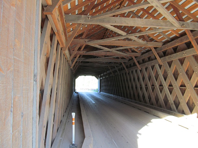
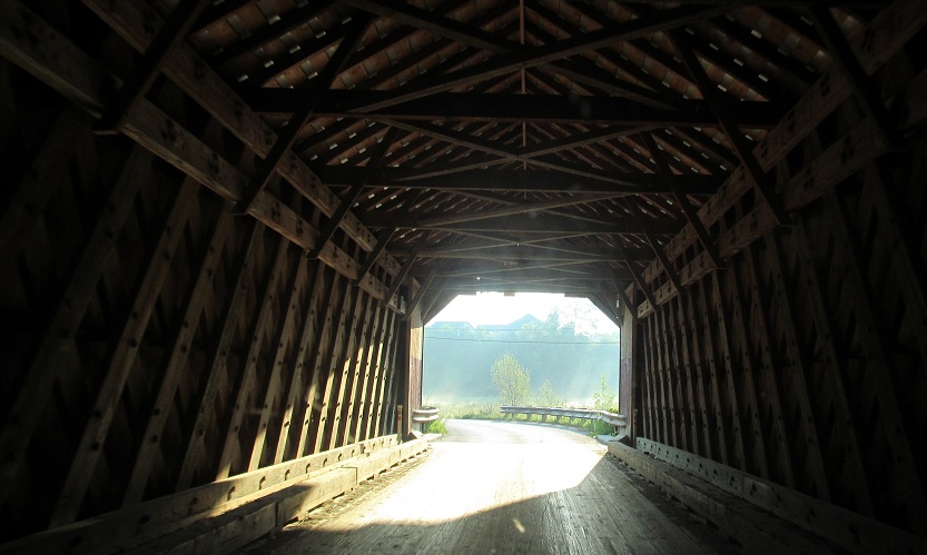
While in Brandon, check out the Sanderson Bridge on Pearl St., a short distance south of VT 73 where it meets US 7.
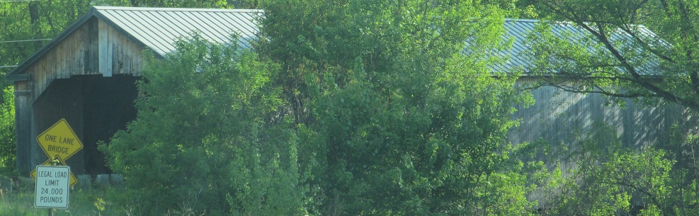
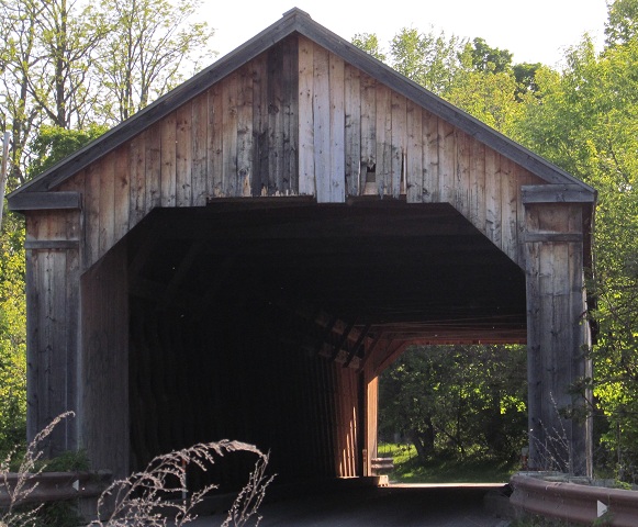
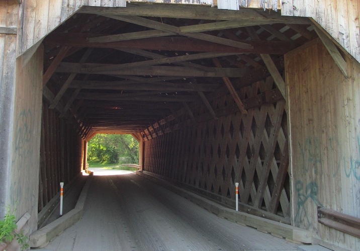
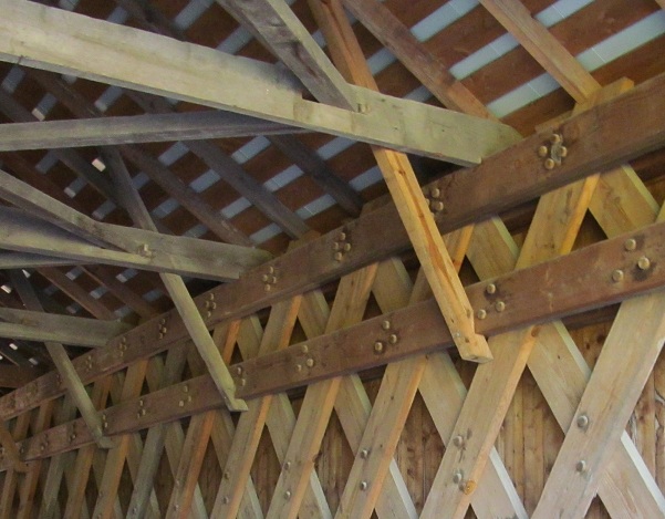
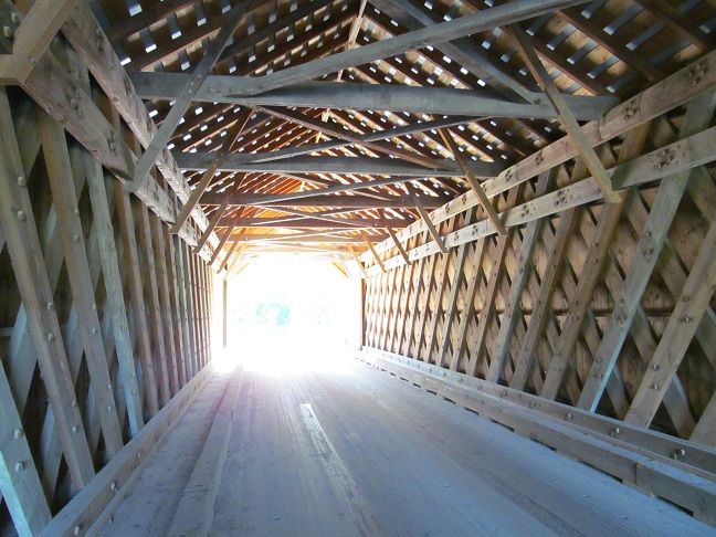

Traveling south across the town lattice truss bridge, ending with a view north along Otter Creek.

Back north toward VT 73.

EB leaving Brandon, first photo at Marble St.
Onto former VT 73A
Onto US 7
Onto VT 53
Back to Vermont Roads
Back to Roads