Vermont Roads - VT 12 S. of Barnard/US 5
VT 12 south of Barnard and US 5/VT 12
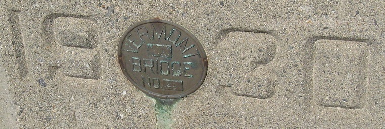
Just a little bridge over the brook that drains Mill Pond in Windsor. Photos look south along US 5/VT 12.
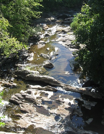
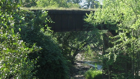
Looking east from the bridge down the rocky stream, then a bit further downstream there's an abandoned railroad truss that you have to clamber along the bank to see.
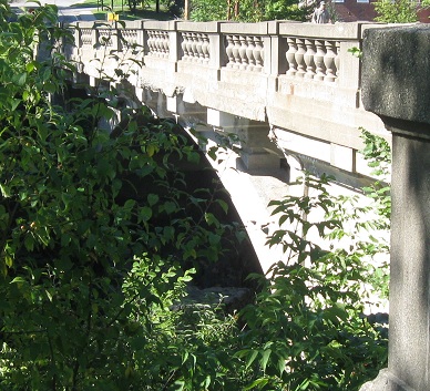
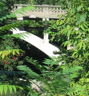
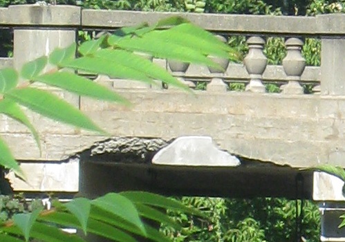
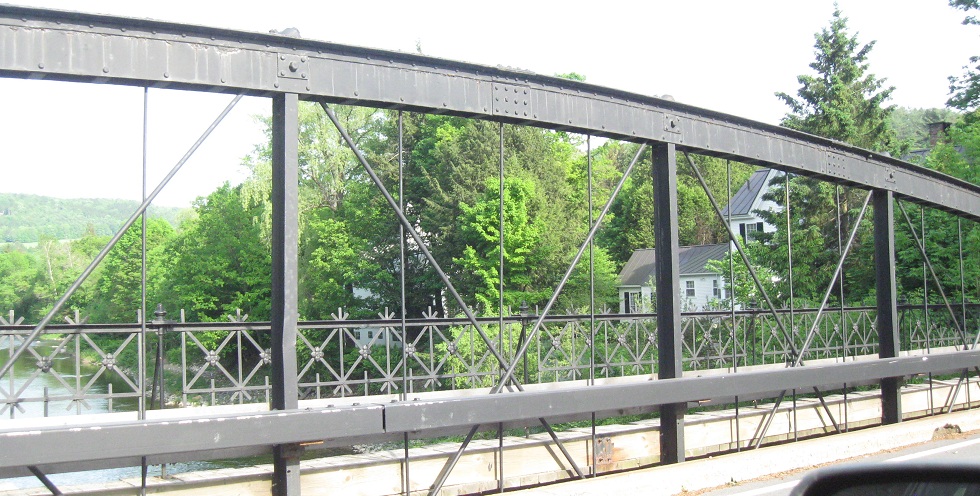
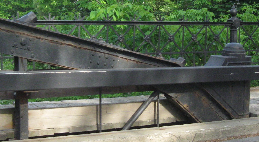
I bent the truth, this isn't just a little bridge but in fact a very tall (but short) arch bridge in middling condition that may not last all that much longer. Photos look west from the extent of my clamberings.
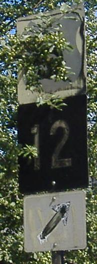
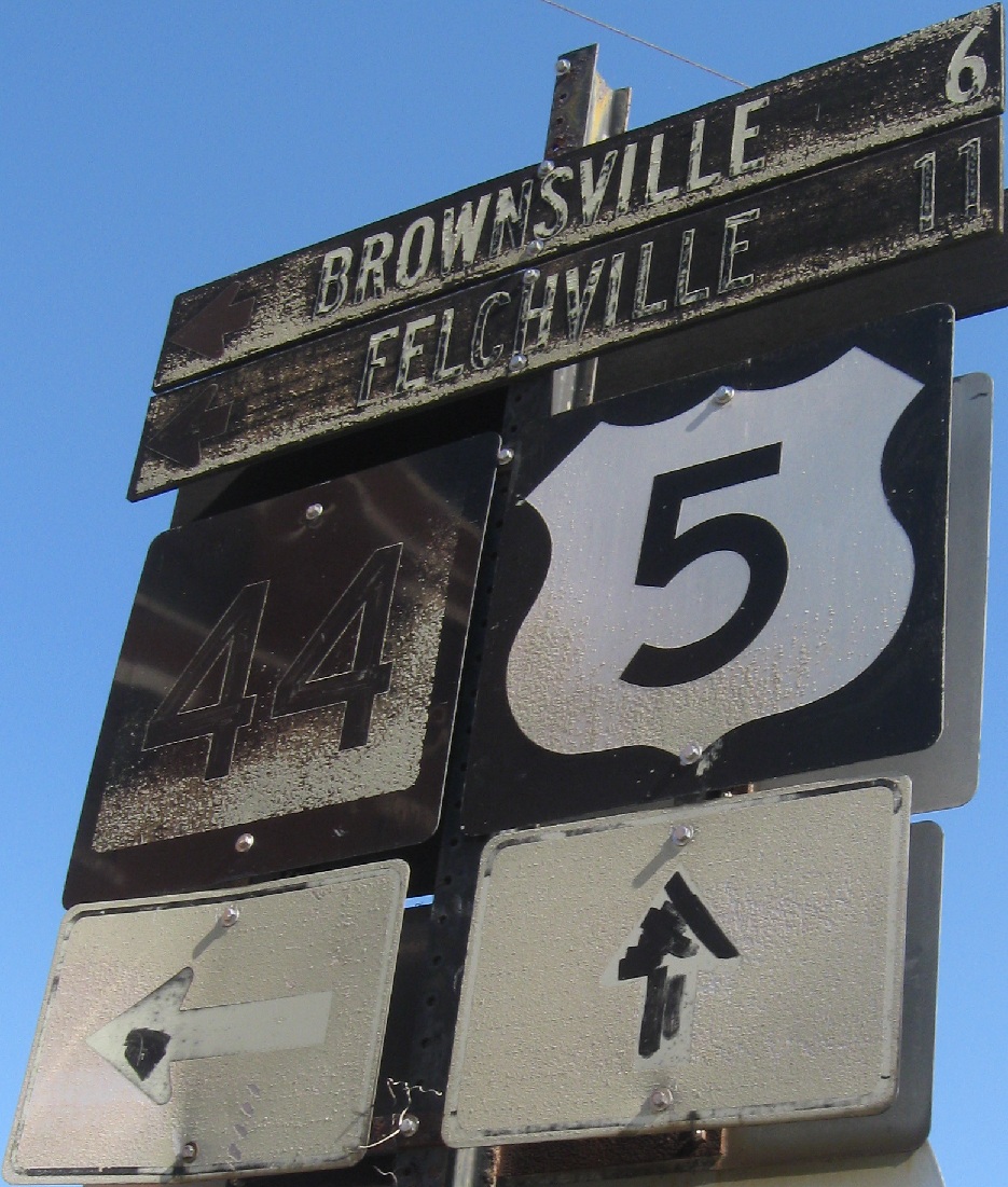
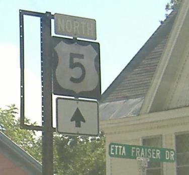
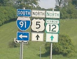
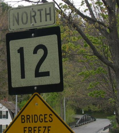
When shields in Vermont get really, really old, the black parts turn white (5 shield) and the white parts turn black (12 shield). Also, white-on-green distance signs turn to black-on-white. No, wait, those are just so old they predate the use of green guide signage. These suckas are northbound. Click on the second photo to see just how badly signs can age in just a few years.
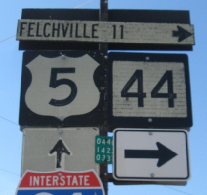
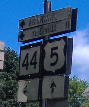
Southbound and overhead at VT 44, where the I-91 shield (intentionally cut off to avoid compromising photo resolution for something so unimportant) and the new 44 arrow are most unwelcome. Destinations named Felchville are always welcome.
 Here, the VT 12 shield was forcibly removed, obviously at the request of VT 44.
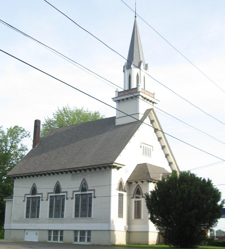
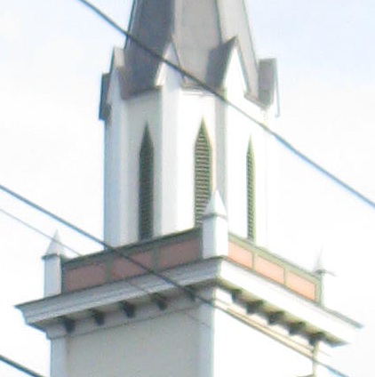
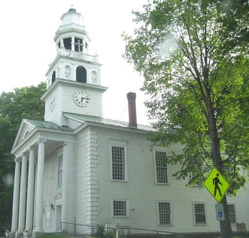
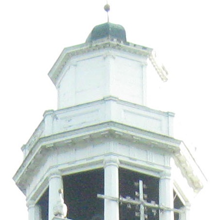
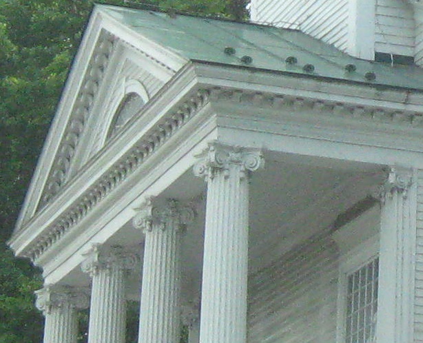
SB through Windsor. The second church is the Old South Congregational.
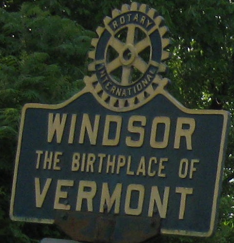
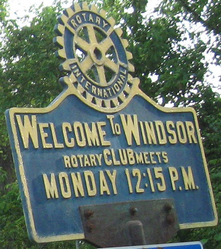
The NB and SB faces of an old Rotary Club sign. Interestingly, it never says you're leaving the town.
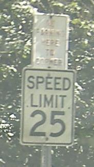
Proceeding northbound past an embossed parking sign to I-91, where there are older borderless distance signs (not as old as those in Windsor above) and state-name shields.
 Hartland, where VT 12 meets US 5.
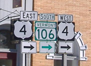
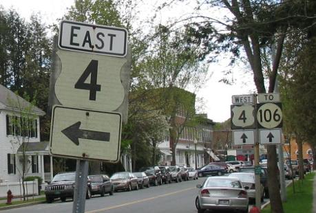
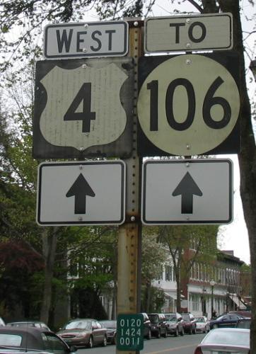
VT 12 SB traffic used to be able to turn left at US 4 (with which it multiplexes), but now turns right and goes around a rotary to head back into town and pass this turn again.
VT 12 SB in Woodstock before the multiplex begins, again courtesy Adam Prince. I think VT 12 technically turns left on Pleasant St. in the second photo, although the green reference marker in the third photo suggests that Elm St. is the actual route - or else it follows both legs of the triangle!
Last Adam Prince photo, heading north from Woodstock across the Ottauquechee River.
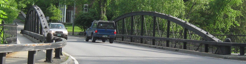
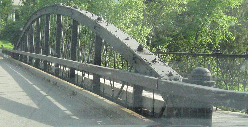
That old shield isn't there anymore, but the bridge sure is, seen here SB.
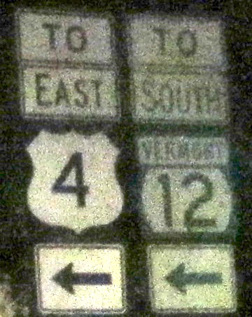
Among the new shields, you have this subtle error at Pleasant St. VT 12 itself turns left here, so only US 4 is "TO".
Continue north on VT 12
Onto US 4 and VT 12/US 4
Onto US 5 alone
Back to VT 12 main page
Into New Hampshire on 12
Onto VT 44
Onto I-91
Back to Vermont Roads
Back to Roads