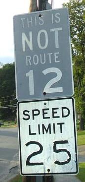
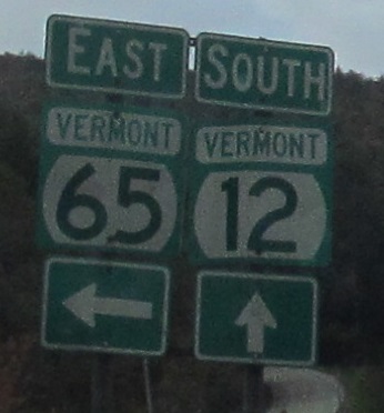
Vermont Roads - VT 12 N. of Barnard
VT 12 north of Barnard
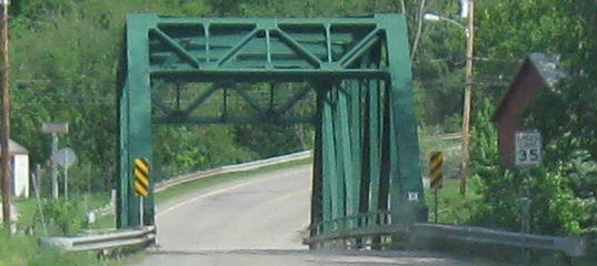
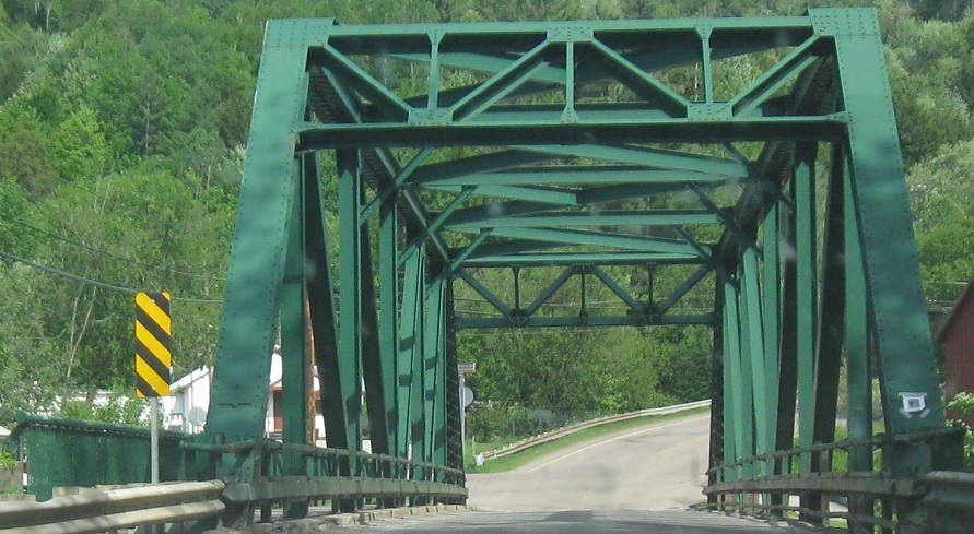
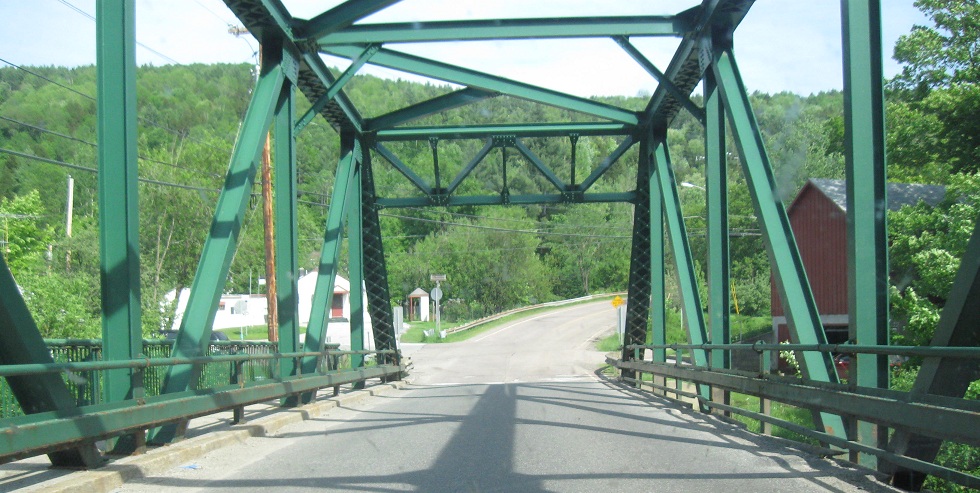
VT 12 SB and VT 107 WB across the White River (the one that heads to the Junction).
Courtesy Jake Warner, this is on Main St. NB or Sand Hill Rd. SB in Bethel, and was erected by the town to FHWA standards. VT 12 NB turns left to cross railroad tracks and then right again, and if you're not paying attention you can easily end up on the wrong road. Main St. isn't so bad, because it parallels VT 12 with another chance to get back, but Sand Hill Rd. goes the wrong way completely.
Speaking of Bethel, these photos head SB from one of those sharp turns (at Sand Hill Rd.) past United Church of Christ to the old town hall (now a museum).
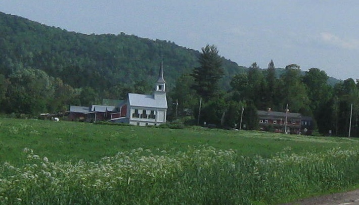
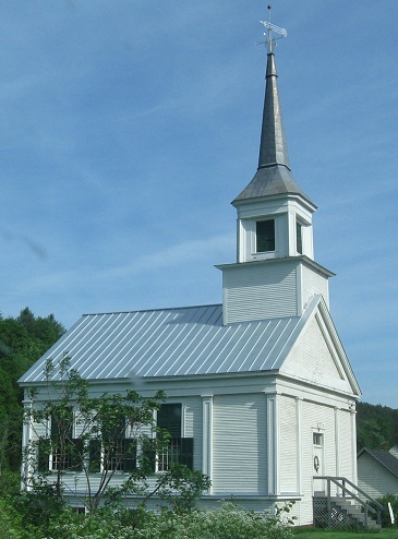
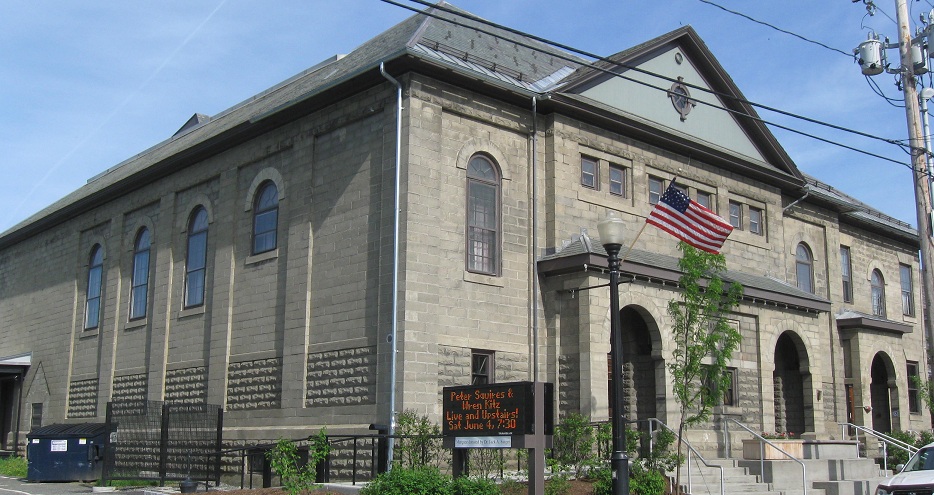
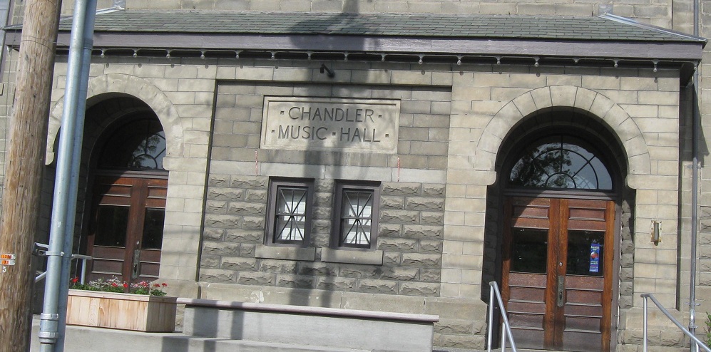
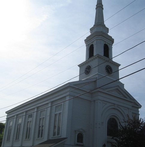
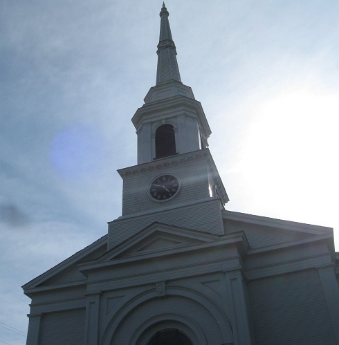
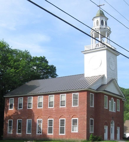
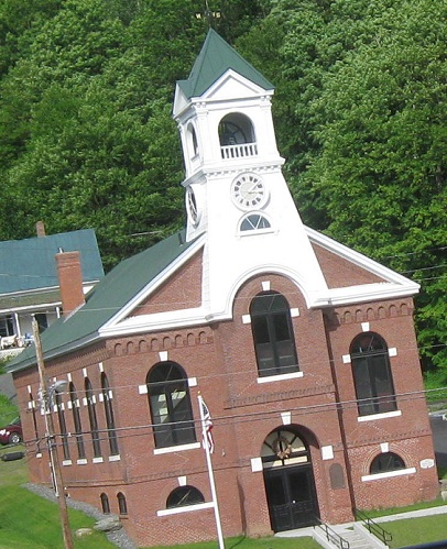
The buildings of Braintree (Snowsville Church) and Randolph (music hall and Bethany United Church of Christ), heading SB.
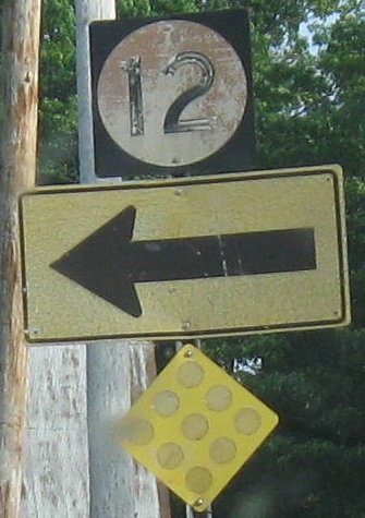
SB at the alternate route split in Northfield and down to a set of reversed arrows and banners. Which I prefer to green on white.
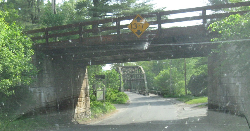
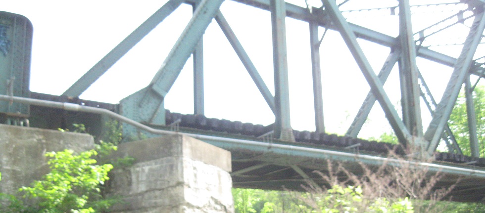
SB across the Dog River in West Berlin.
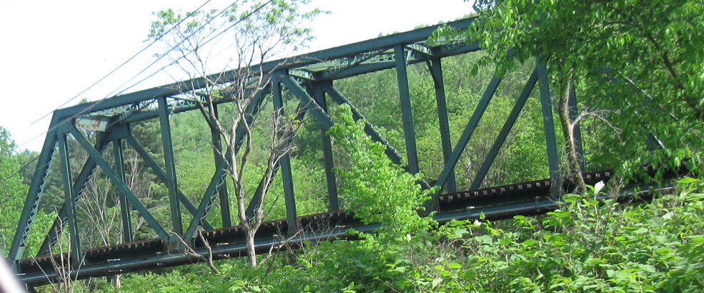
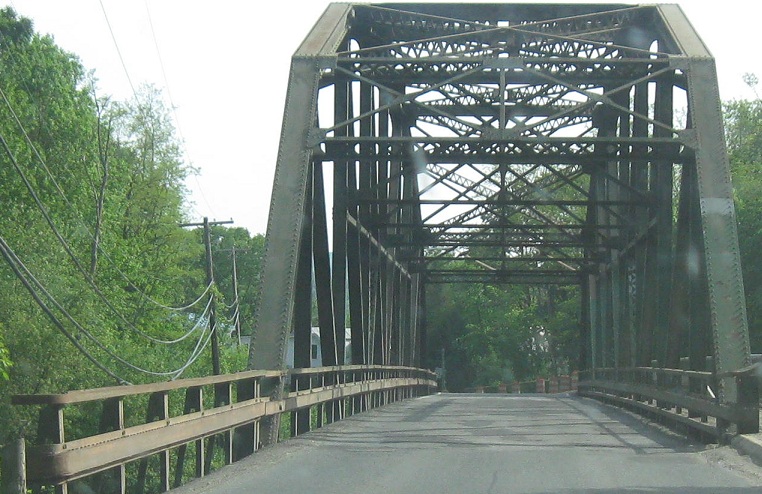
NB at another Dog River bridge in Berlin, this one for a railroad.
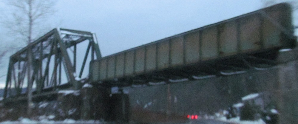
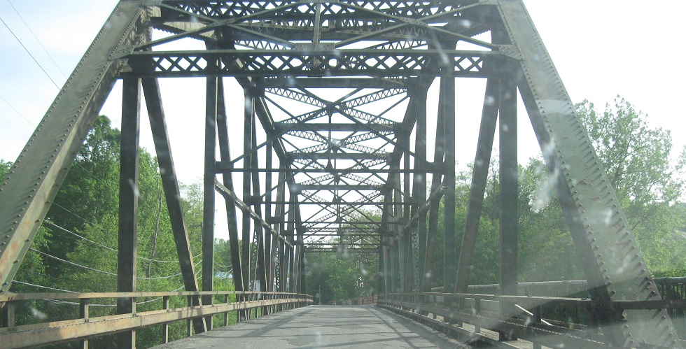
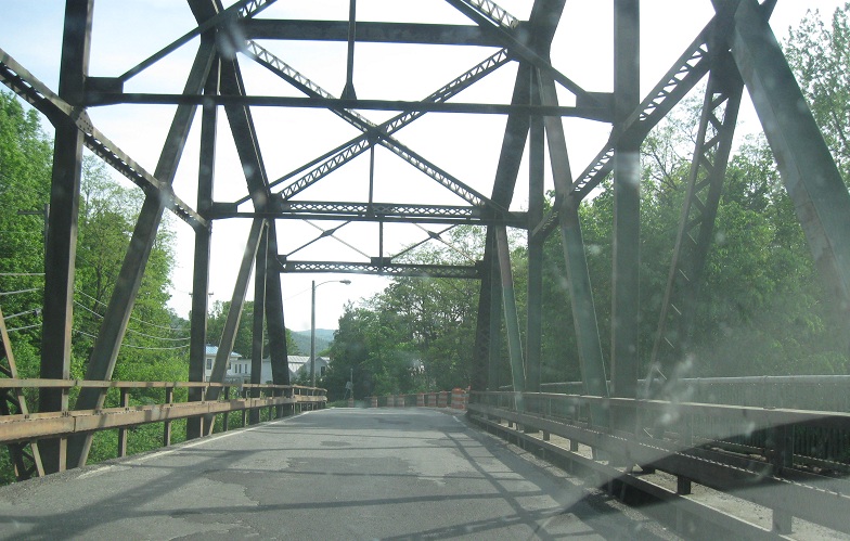
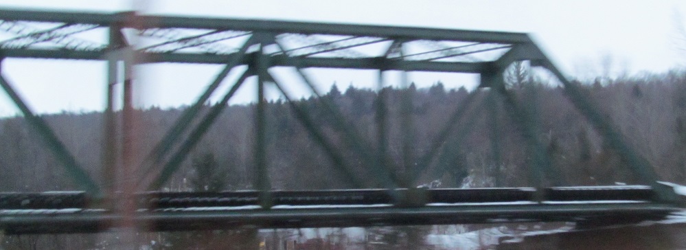
And a SB view.
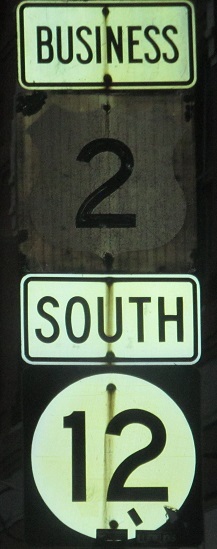
State St. EB in the center of Montpelier by day and night. This was originally US 2, but 2 now jogs south further to the west, onto Memorial Drive, to bypass the rarely-busy downtown, so it remains Business 2 as you'll see below.
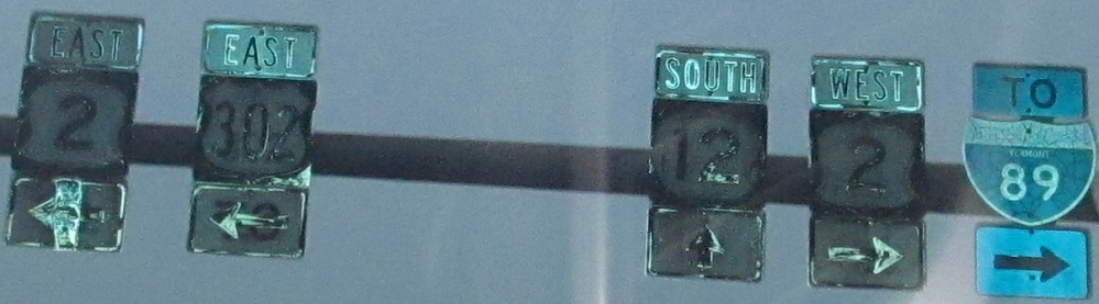
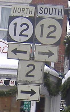
This is a rare example of an overhead shield assembly - Delaware has a few of these, but none with shields so old (especially the narrow US 302 shield and original-spec wide I-89 shield). As you can see, this is SB at US 2 in Montpelier, including a Business US 2 EB duplex. Now, those US 2 shields look upside-down, so let's take a closer look:
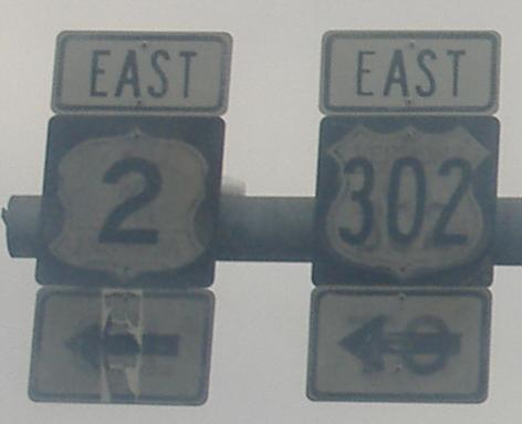
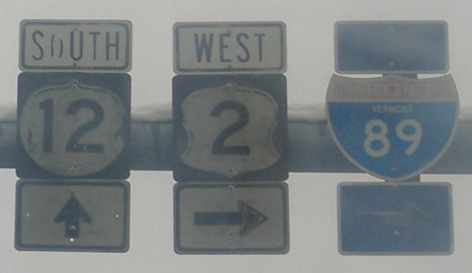
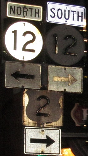
This rockets past interesting to historically unique. Between the two shields on the left and the three on the right, there are four state-name US shields and a seemingly 27"x24" state-name Interstate shield, all dating to at best the early 1960's. As you can see, three of the four US shields have been inverted, and the arrow signs have similarly been recycled. The clearest of the shields are the two on the left side of the gantry, where you can make out the VERMONT US 2 upside-down on the left shield (it's even clearer in person), and very clearly VERMONT US 302 on the right shield. Hallelujah.
Approaching Montpelier.
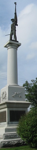
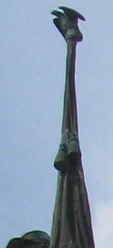
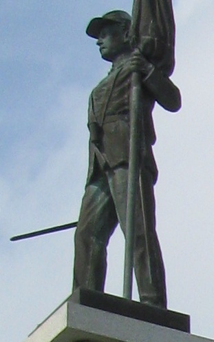
A very tall statue in Morristown at the northern end of VT 12.
 SB and embossed, same place.
Last sign on the route, NB right where VT 15A comes in. The junction with 15A is so shallow that this sign is legible from both routes heading west into downtown.
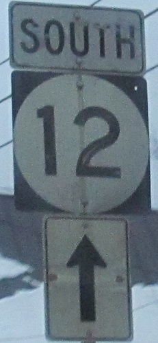
Continue south on VT 12
Back to VT 12 main page
Onto VT 65
Onto US 2
To US 302
To I-89
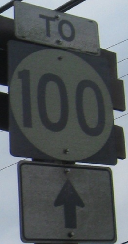
To VT 100
Back to Vermont Roads
Back to Roads