Vermont Roads - VT 11/US 5/VT 30
VT 11, VT 11/US 5, VT 11/30


Rather than end at VT 30, VT 11 continues to Manchester Center, where it historically met US 7 and now meets VT 7A. This does not seem necessary.
VT 11/30 looks straight across the Batten Kill to the VT 7A/VT 30 intersection in the background. And yet, there was never a bridge here, despite it making perfect sense to avoid the jog in the road.


Looking east at what would seem like a bridge abutment, but apparently was just for stream diversion so that the VT 11/30 bridge could be built. Thanks to Adam Froehlig for helping me get toward the bottom of this mystery.

All of these shields are older, and may predate Vermont's adoption of the green state route shield. If not, then all of the routes in Manchester are town-maintained.

VT 11 WB briefly carries VT 100 SB, so I am not junctioning the route I'm already on.


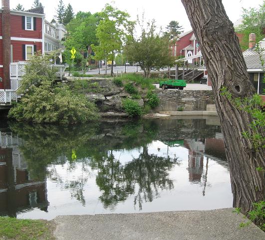
EB past an old mill bridge over the Black River in Springfield.


EB (left and right) at the beginning of VT 106. The curly 9 and 6 give away that these are all old-font shields.


WB at and past VT 106. The sign pointing VT 106 NB straight ahead disappeared by 2014.


VT 11 EB/US 5 NB just shy of New Hampshire. First some more old-font shields, and then a pair of "N.H." Vermont shields.


When I returned in 2014, only the US 5/VT 11 signs were still old.

WB/SB, one last shield.

The last of Vermont, since the NH border is on this side of the Connecticut River and the border sign demonstrates that.
Onto US 5 alone
Onto VT 30 alone
Into New Hampshire on 11
Onto VT 7A
To US 7
Onto VT 100
Onto VT 106
Onto I-91
To NH 12
Back to Vermont Roads
Back to Roads