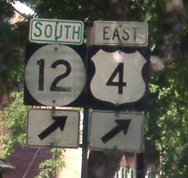
US 4 east of Killington and
Above: at Hartland Hill Rd.
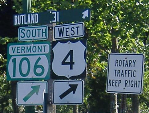
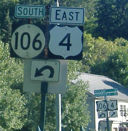
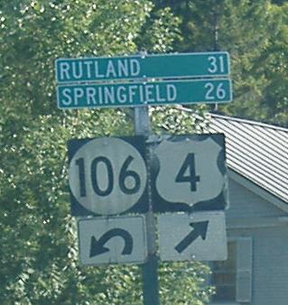
Homemade distance sign, new banners on old shields, and the loopiest arrows this side of... well, they're unusual. All westbound through the Woodstock rotary. VT 106 begins on the south side,so these should all be "TO."
Eastbound at the same rotary.
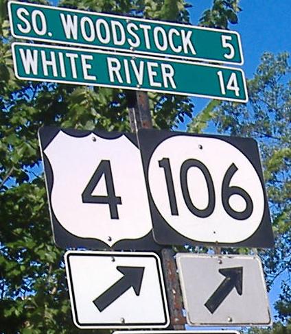
EB/SB at Britton Ln., heading out of Woodstock.
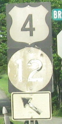
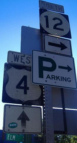
Older shields, WB at Elm St. which is technically past the end of the duplex but signed for downtown traffic.
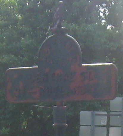
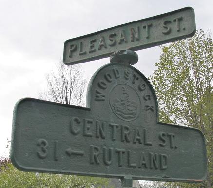
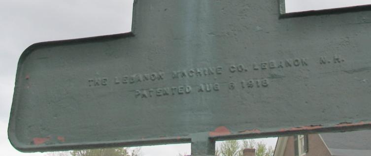
Adam Prince provided me the middle two photos of this 90-year-old sign at the actual western end of the duplex - I missed it for years because I failed to head around the corner of the triangle.
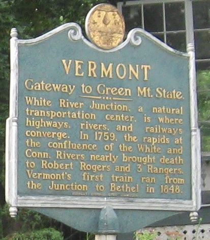
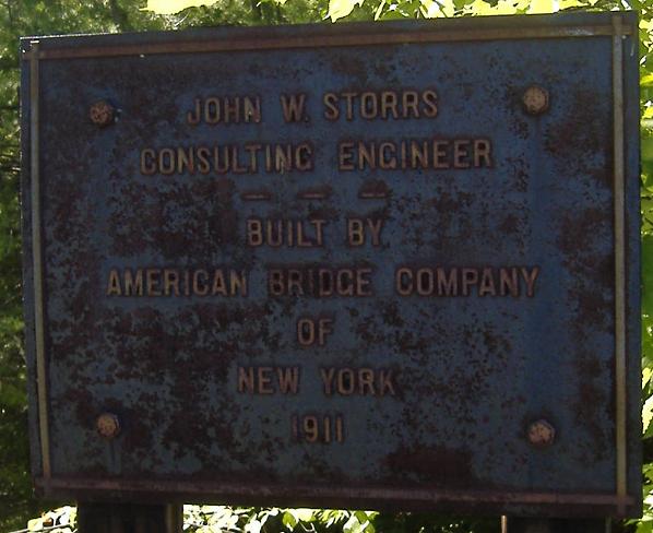
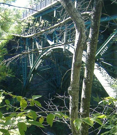
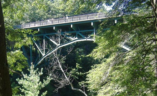
The plaque for the US 4 bridge over the Quechee Gorge.
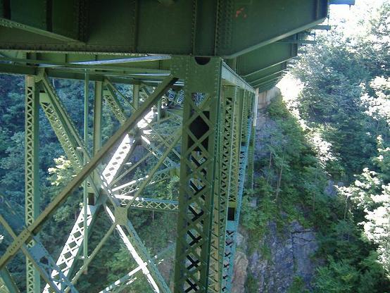
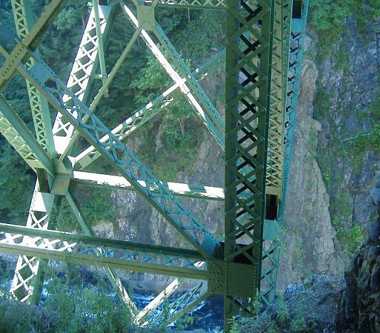
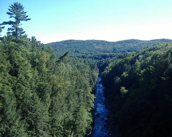
Walking down the Quechee Gorge trail to the bottom of the gorge, all the while looking up at the US 4 bridge.
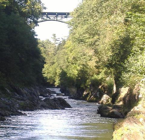
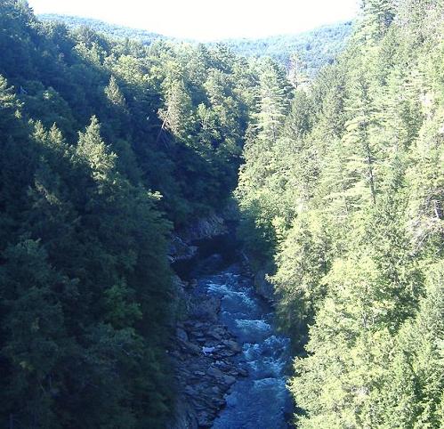
Looking south first and north second at the gorge. Thanks to the sun for telling me which direction was which, this late August afternoon.
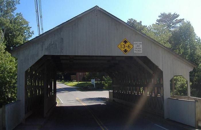
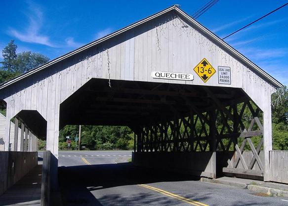
Looking south toward US 4 and then north toward old US 4, at the Quechee covered bridge, which was sadly destroyed by hurricane Irene. The town of Quechee sits on old US 4, while the new route bypasses it to the south and stays on the far side of the Ottauquechee river.
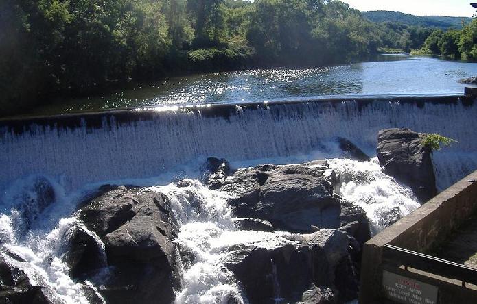
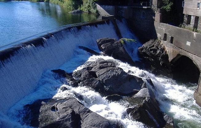
An old mill that has now been partially converted to a restaurant, just west of the covered bridge. Many Vermont covered bridges are located next to former mills, built to be able to transport materials (and people) to and from the mill.
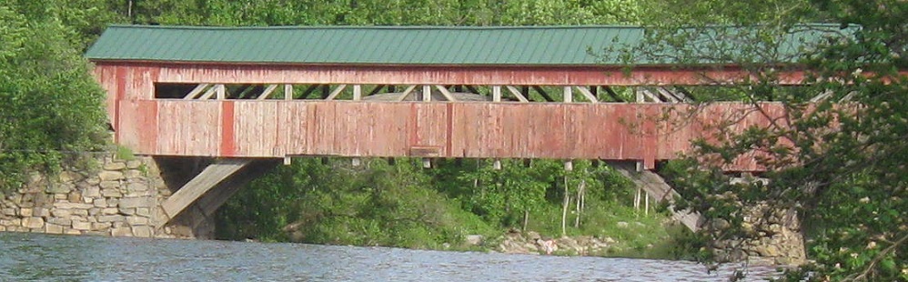
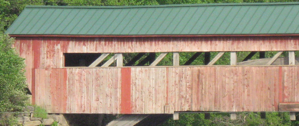
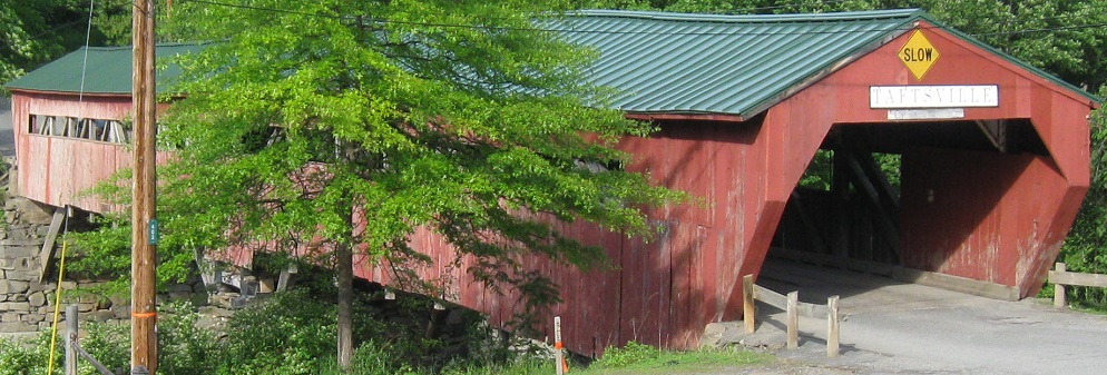
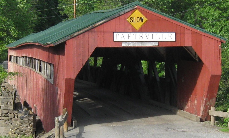
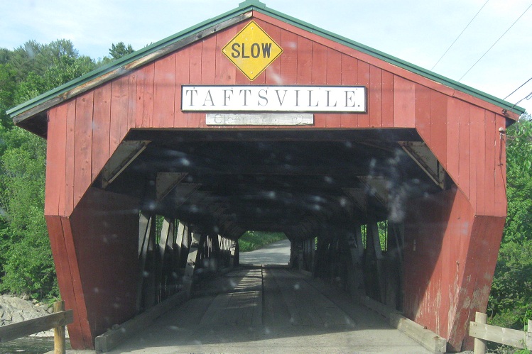
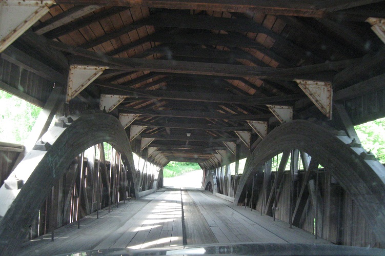
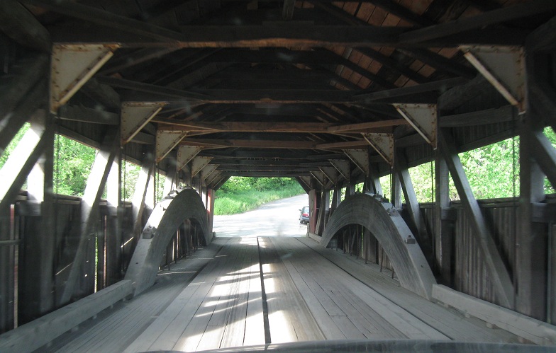
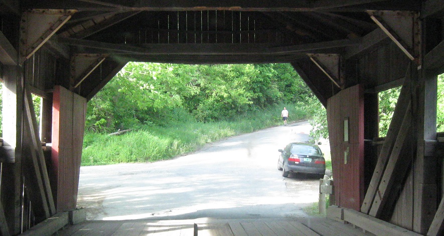
EB up to and NB over the Taftsville Bridge, just 3 miles west of Quechee Gorge.
And drive back south with this video.
On the entrance ramp from US 4 at I-89 Exit 1.
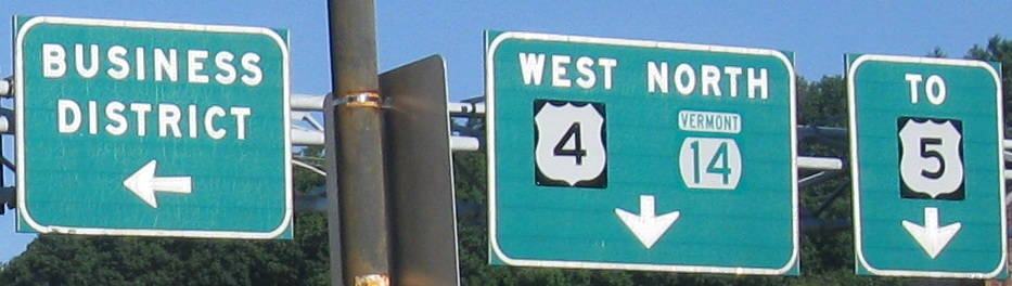
US 4 WB at Bridge St., just west of New Hampshire in White River Junction. "TO US 5" is misleading, because US 4 WB will join US 5 SB by making a left up ahead, and traffic will turn right in a block onto US 5 NB.
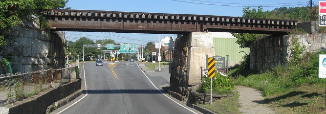
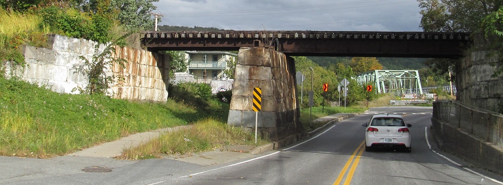
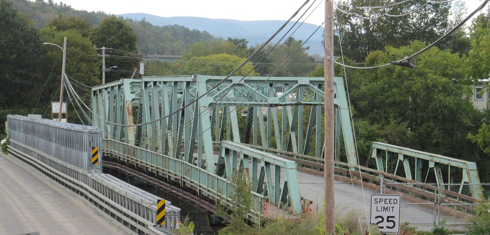
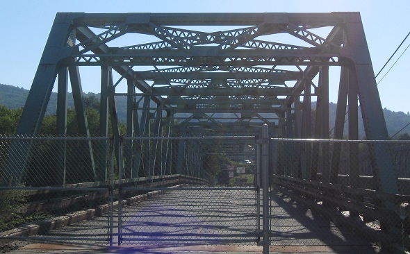
Old railroad bridge, WB from New Hampshire.
The bridge into NH hit the end of its lifespan in 2010. Traffic was on a temporary span to the south as this one was prepared for demolition. However, the NH border is on the western shore of the Connecticut River, so you'll have to click through to the NH page below for more bridge photos. The shield atop the main page came from just beyond the right edge of the first photo, but is gone now.
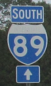 On the entrance ramp from US 4 at I-89 Exit 1.