Virginia Roads - US 340 NB
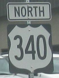
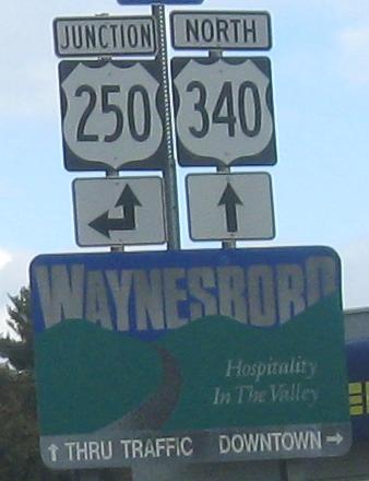
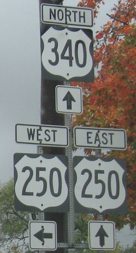
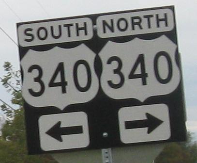
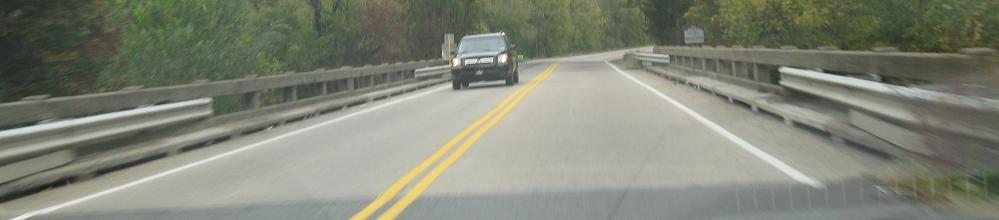
All is well and good until I get to Waynesboro, which is also where you see the photo atop this page. That town, or at least the contractor for the intersections therein, has a distinct aversion to using proper-width shields. What's worse, though, is the aversion to signing US 340 properly. While straight ahead is intended as a bypass of downtown (by all of two blocks), officially US 340 turns right on the old Main Street while only US 250 continues straight. The two routes, which originally ran together down Main Street, do meet up for a brief stint together, but not until crossing the South River bridge to the east side of town.
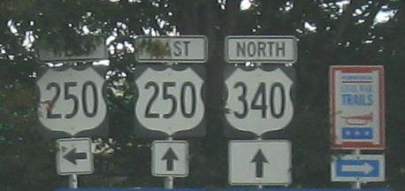
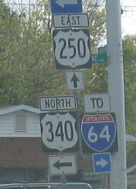
Looking over my shoulder SB, where it seems like you're not on US 340 at all (or even on US 250!). But no, this is 340 SB, and to the right is US 250 EB.
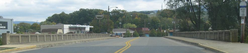
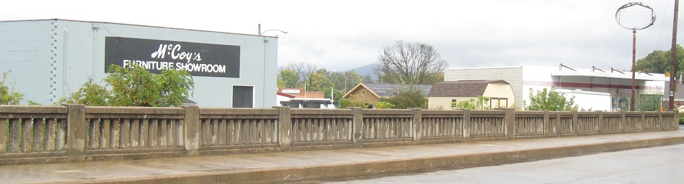
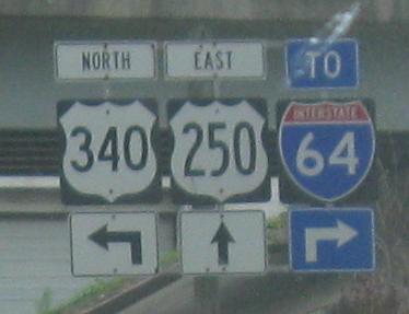
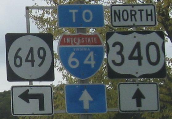
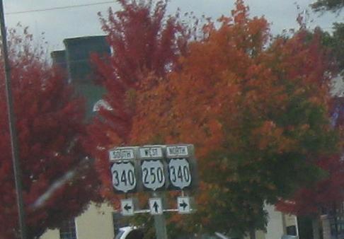
US 340, formerly also US 250, NB down Main St. and across said bridge. US 250 was rerouted to Broad St. when a newer bridge was built just downstream in the 1950s (so that should have left plenty of time to erase the confusion), and then they meet on the east side for a short concurrency before parting ways for good. The I-64 trailblazers are misleading - turn right to get to I-64 WB, but go straight on US 250 to continue east.
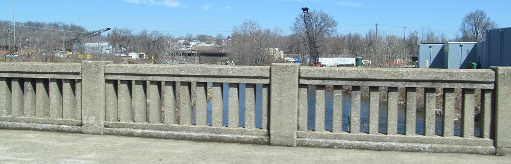

Confusingly, these photos look north along the South River while US 340 goes east-west. Anyway, in 2013, the US 250 South River bridge was being reconstructed (2nd photo), so all traffic was detoured onto US 340.
One-piece assembly at the end of Mine Branch Rd. WB in Crimora.
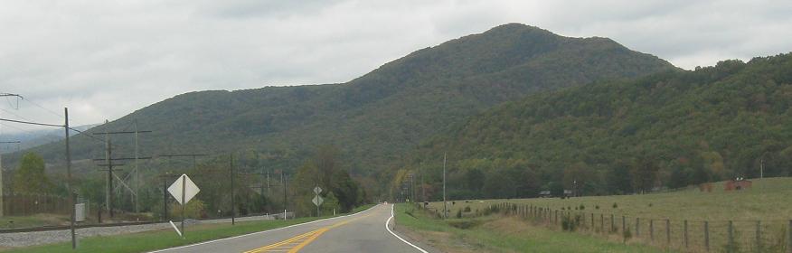

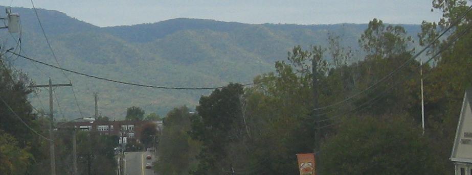
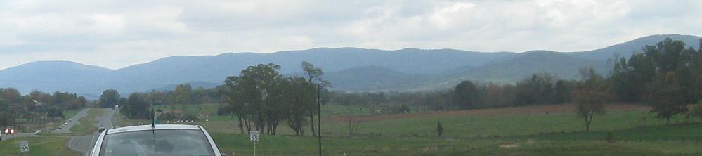
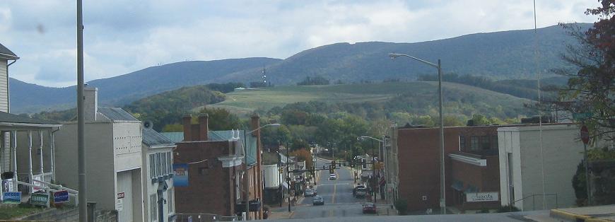
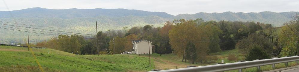
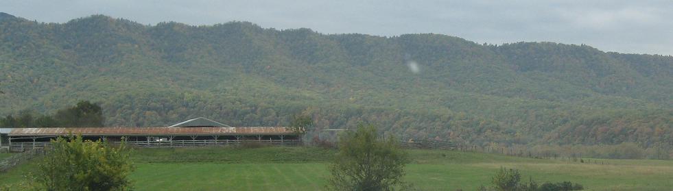
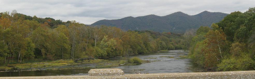
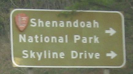
Continuing past Elkton, which you'd never know from "Downtown." Scenery like this, between a national forest and a national park, is what makes the Shenandoah Valley world-famous. You can drive on top of it via Skyline Drive (on the ridge to the east) or enjoy the ride straight down the middle (with a lot less tourist traffic) on US 340. Choosing US 340 lets you cross Naked Creek, which not everyone can say.
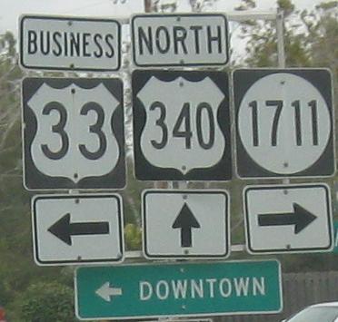
Get impaled at US 33, courtesy Lou Corsaro.
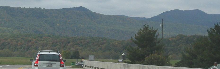
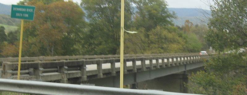
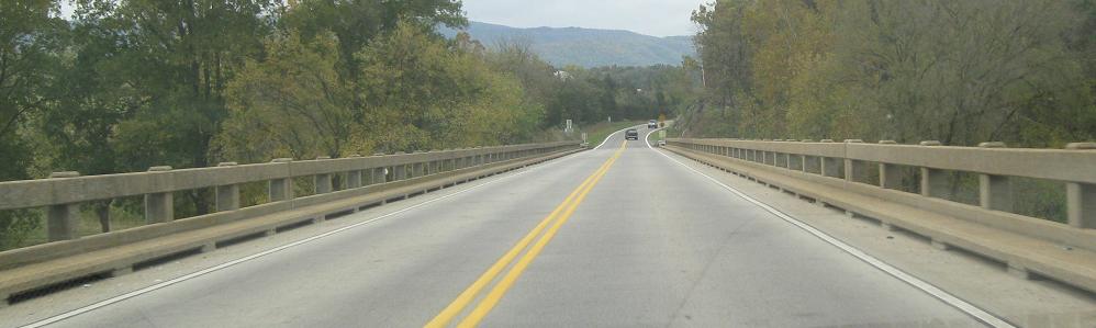
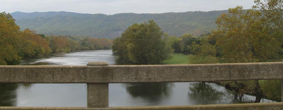
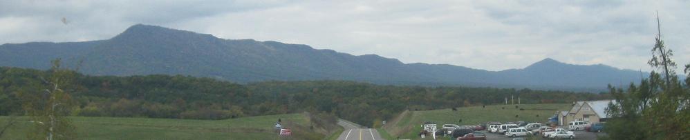
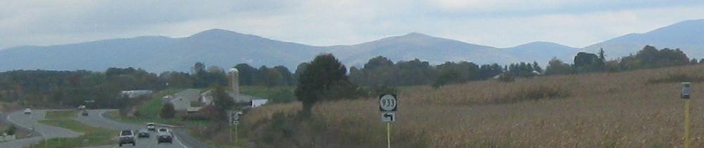
More of the Shenandoah Valley, with a look at the mountain range to the west, then crossing the South Fork of the Shenandoah River and looking east and west.
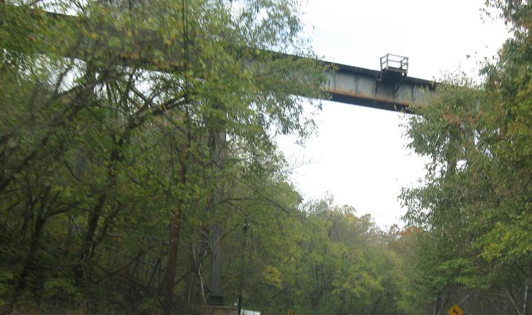
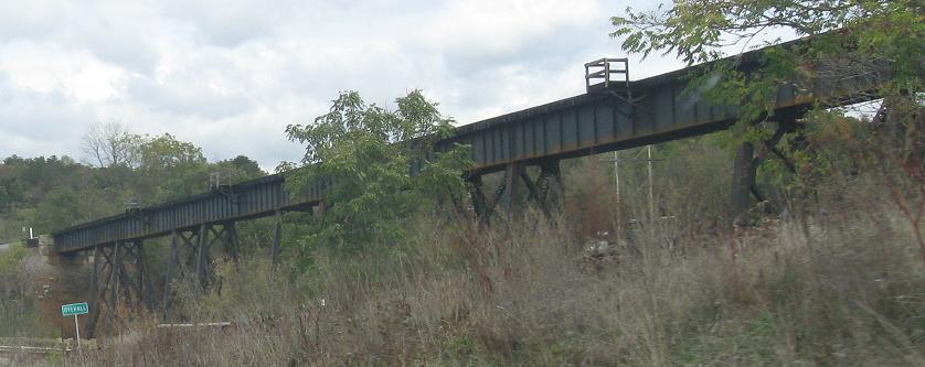
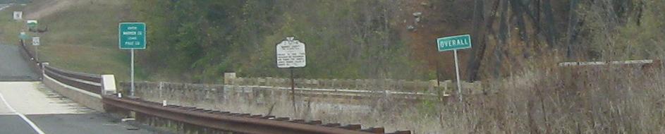
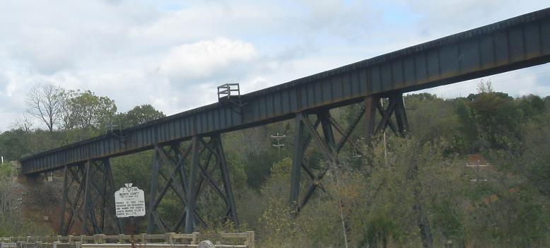
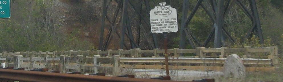
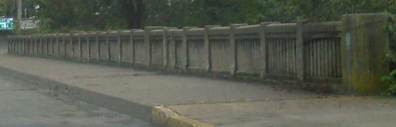
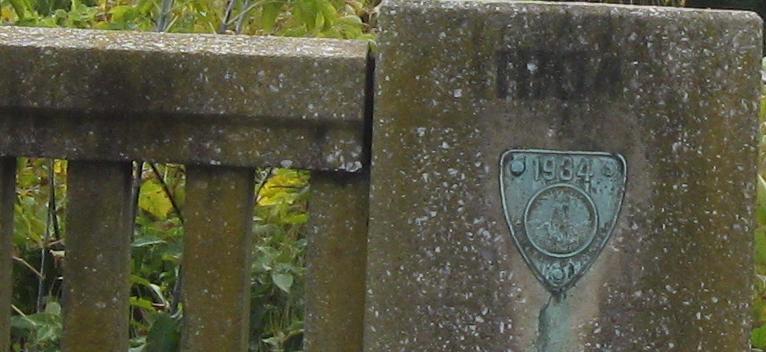
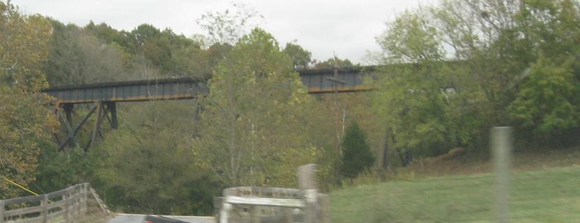
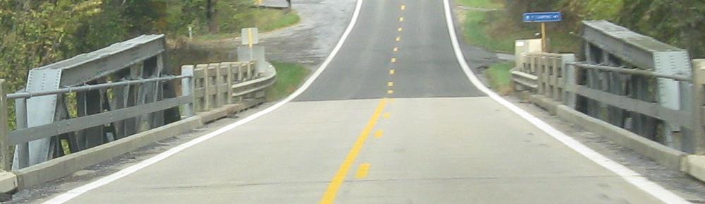
Skipping the US 211 concurrency, which you can visit via the big link below, here's a treat as I cross Sandbank Hollow. Not only is there a stylish, tall railroad viaduct to the east, but the original US 340 bridge has been left in place, Florida-style. I think it's extra stylish that the original county line sign remains at the old southbound "shoulder" (since the old bridge didn't have one) instead of being relocated closer to the current highway.
Welcome to Bentonville, and be sure to look to your left as you pass through.
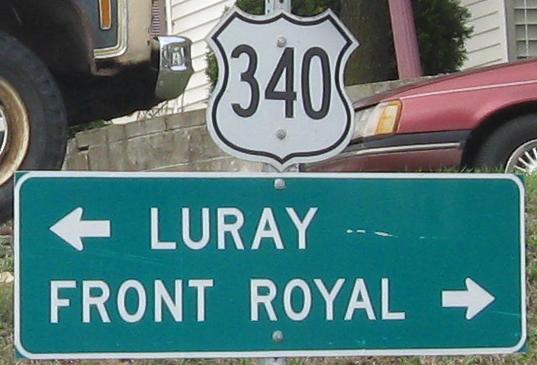
Another set of cutouts from Snake Rd. NB as I approach Front Royal. This is the beginning of Skyline Drive, lending still more importance to US 340. (It eventually passes by Harper's Ferry, which is partially in Virginia and thus deserves mention as another site of significance.)
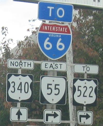
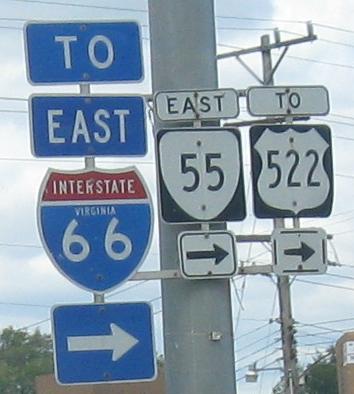
Shields shrink in Front Royal, where US 340 shies away from the spotlight and hooks onto VA 55 and US 522 (see big links below).
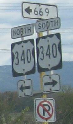
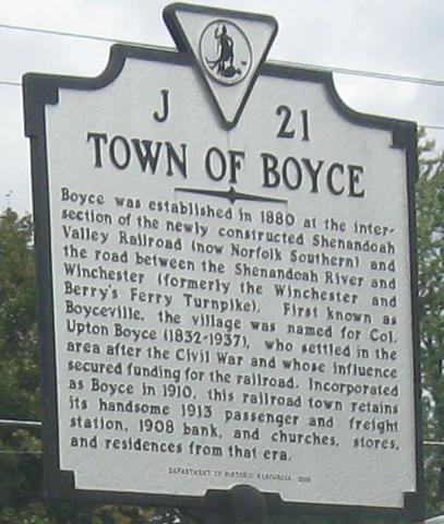
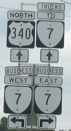
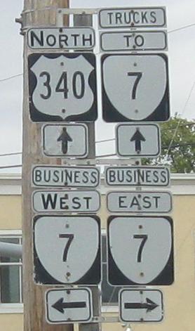
Picking up the trail north of US 522, continuing almost to West Virginia before turning onto VA 7 in Berryville. Those small signs are an alternate VA standard that seems to have popped up in the last 10-20 years.
US 211 and 340/211
Onto VA 55 and US 340/VA 55
To US 522 and 340/522
Back to US 340 main page
Into West Virginia on US 340
To I-64
Onto US 250
Onto (regular) US 33
Onto Skyline Drive
Onto I-66
Onto (plain) VA 7
Back to Virginia Roads
Back to Roads