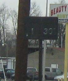
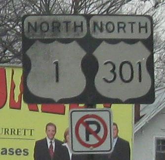
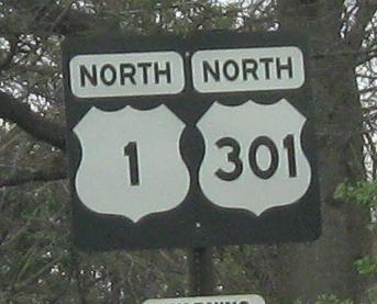
Virginia Roads - US 1/301
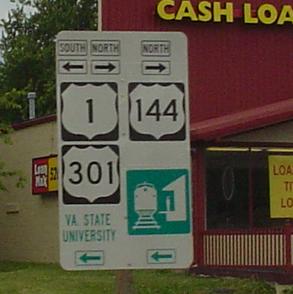
VA 144 becomes the newest new US route, courtesy Lou Corsaro as is the shield atop the page.
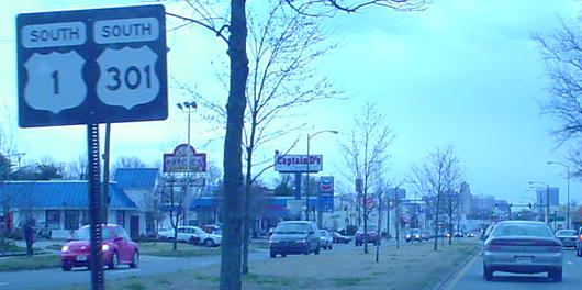
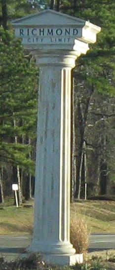
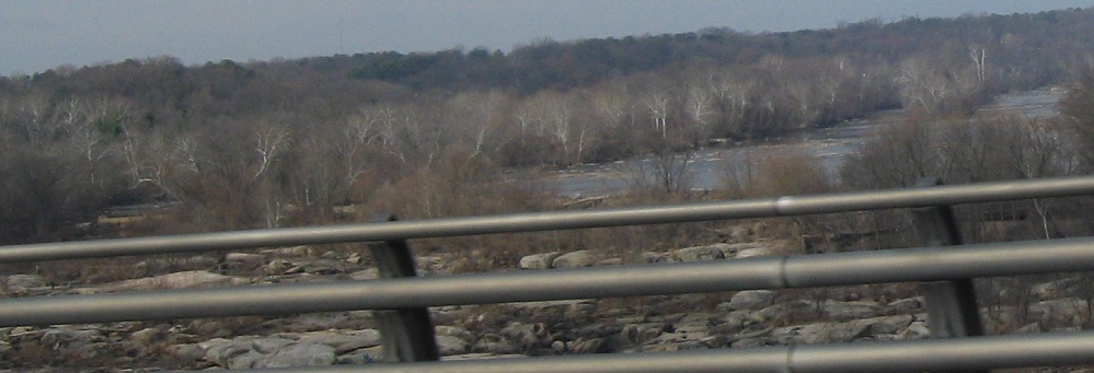
NB nearing Richmond. In the second photo, there's an original US 1/301 bridge in the median back behind those signs, just south of VA 150.
 The Greek exit, to Chesterfield County.
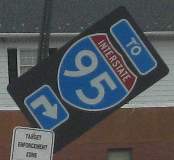
NB at one intersection. Hey Richmond, can you target your enforcement to keep signs vertical?
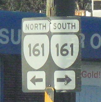
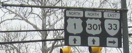
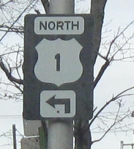
 And SB at VA 161.
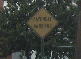
I guess the first sign is even older, but there's a limit beyond which I just can't praise the signs for still being there.
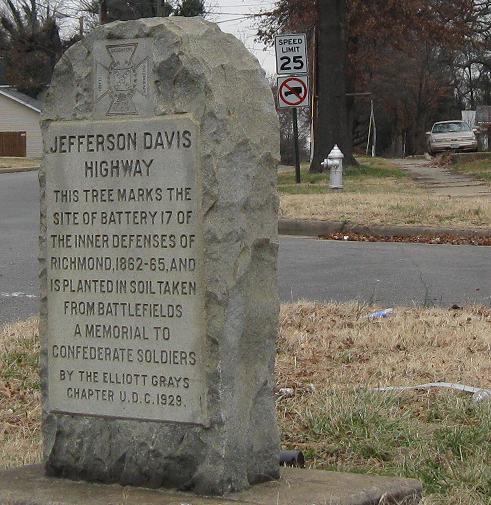
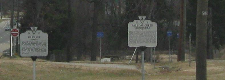
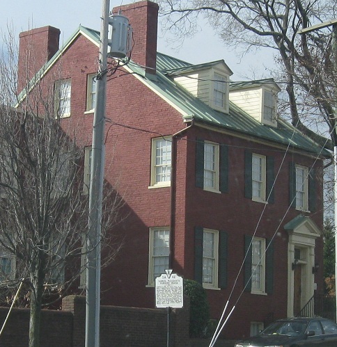
NB at and looking down Harwood St. Obviously, this tree no longer marks the site because it died. At least stones can't die.
Shields start to get ugly as I start to get into downtown, NB.
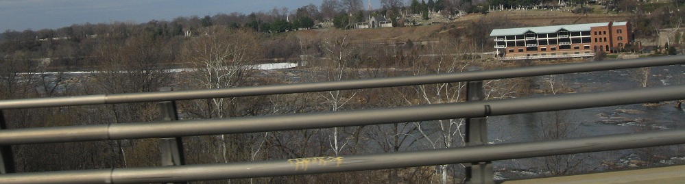
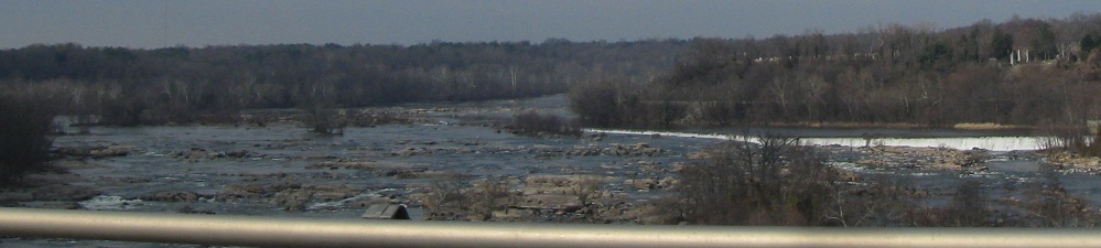
The scenery, however, gets prettier. The first photo looks east along the James River, which is the rough boundary between Northern and Southern culture in Virginia, and the other photos look west, with a hint of a waterfall upstream.
SB at Spring St.
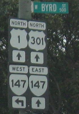
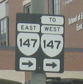
Continuing NB with a bold font, if it looks like you get two chances to turn onto VA 147 WB, it's because you can't turn left on Main St. You have the choice of turning on Cumberland St. and using another north-south street to connect, or turning right on VA 147 EB and using the street grid as a jughandle, just like Montréal sometimes does.
Even older SB shields overhead, with the last remnant of original shield design - the horizontal bar - clinging to them, courtesy Lou Corsaro.
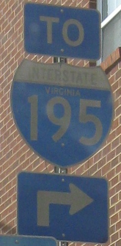
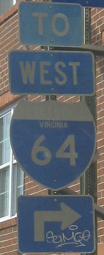
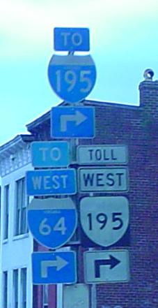
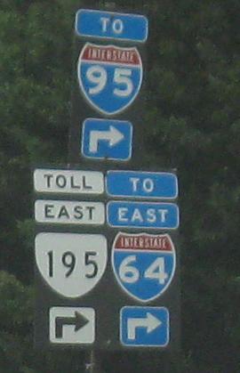
Multiplex signage as overhead is cool, but the last assembly (two photos, top and bottom) is way cooler. These are all SB, and the first photo is courtesy Lou Corsaro because all of the overhead signs are sadly gone. Strangely, the three-digit Interstate in that last assembly has larger numbers than the two-digit. Click either of the last two photos to see the missing VA 195 shield (lost during storm damage, which also explains the overheads disappearing), courtesy Lou Corsaro.
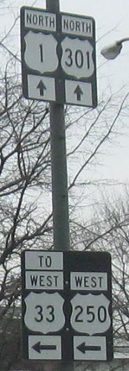
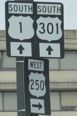
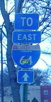
US 33 ends at US 1 while concurrent with US 250, so that shouldn't be "TO". The missing middle sign should have EAST VA 33 straight ahead and EAST US 250 to the right, even though there is technically no VA 33 concurrency to link the route with its US Highway parent. It stays up on Leigh St., and comes down Harrison St. to meet US 33, but there's no EB connection due to a turn restriction.
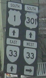
SB at VA 33/Leigh St. VA 33 EB is signed straight here due to a left-turn prohibition, and traffic ends up following local streets in an ersatz jughandle.
Original state-name I-64 shield, SB in Richmond courtesy Lou Corsaro. Back then, many shields seem to have been this 3-digit shape, something like 24"x18".
Chamberlayne Ave. SB on Richmond's North Side (or Northside?).
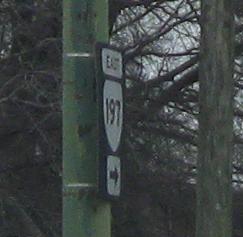
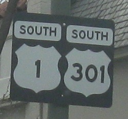
NB past VA 197 to the end of the US 1/301 duplex, but VA 197 only heads west to I-64 and I-95. Maybe that's why the EAST 197 sign was turned sideways. East is a Henrico County road that apparently has VDOT fooled in the field, though their route logs tell the whole story.
Onto US 1 alone
Onto US 301 alone
Onto VA 161
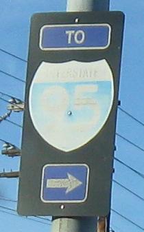
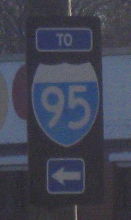
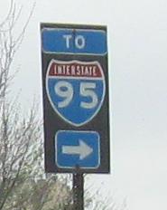
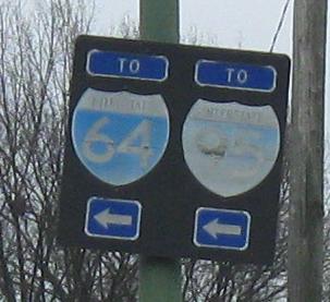
To I-95
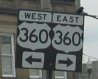
Onto US 360
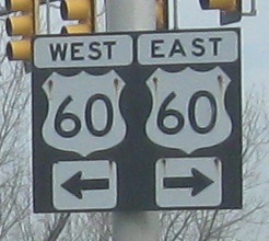
Onto US 60
Onto VA 195 and I-195
To I-64
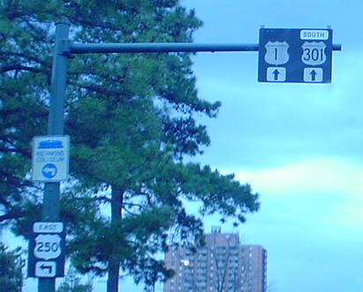
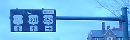
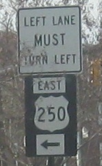
Onto US 250
Onto US 33
Onto VA 33
Onto VA 197
Back to Virginia Roads
Back to Roads